© Valais/Wallis Promotion - Christian Pfammatter - Christian Pfammatter

© Valais/Wallis Promotion - Christian Pfammatter - Christian Pfammatter
© Valais/Wallis Promotion - Christian Pfammatter - Christian Pfammatter

© Valais/Wallis Promotion - Christian Pfammatter - Christian Pfammatter


- Lyhyt kuvaus
-
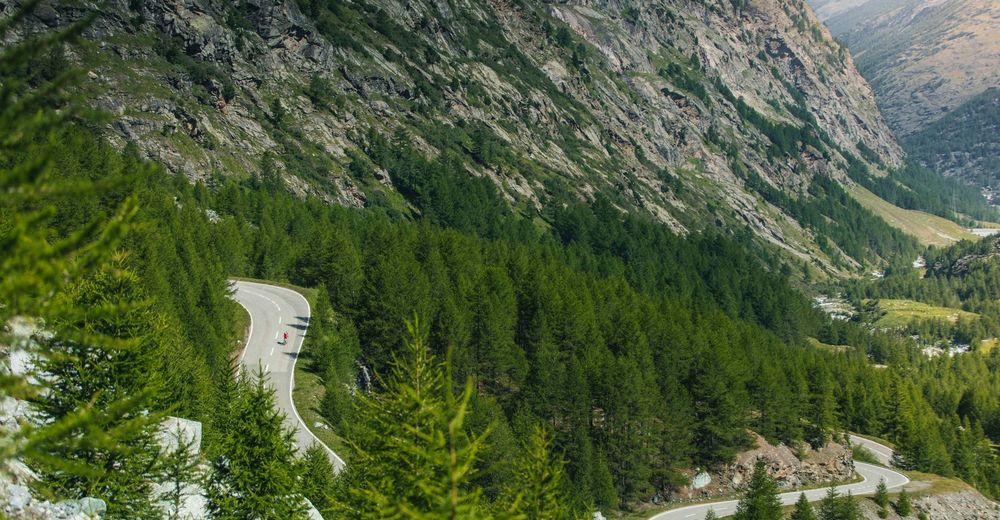
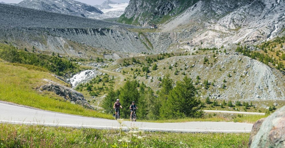
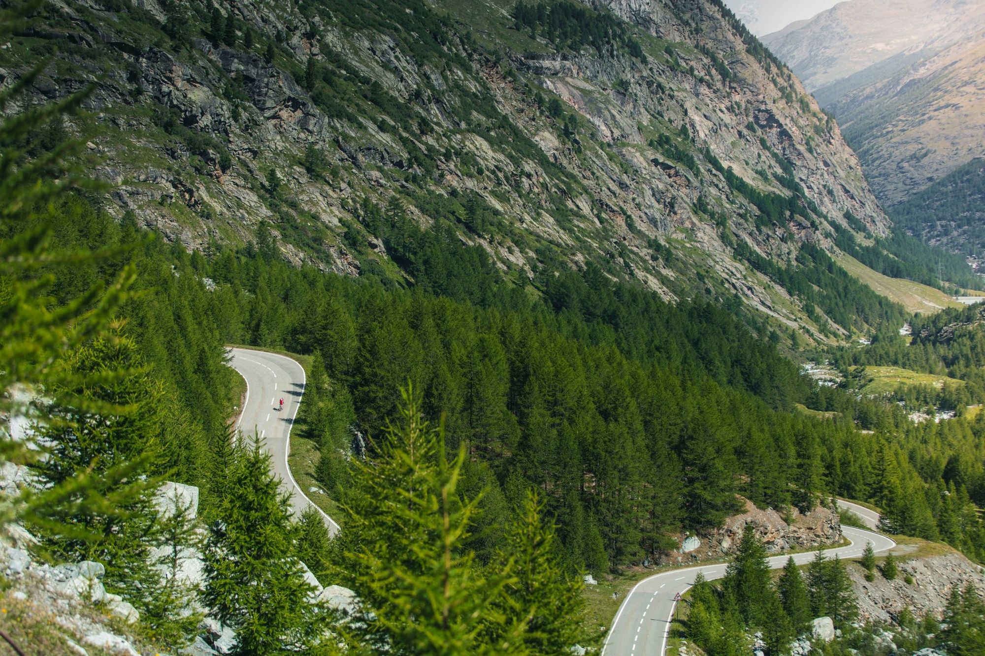
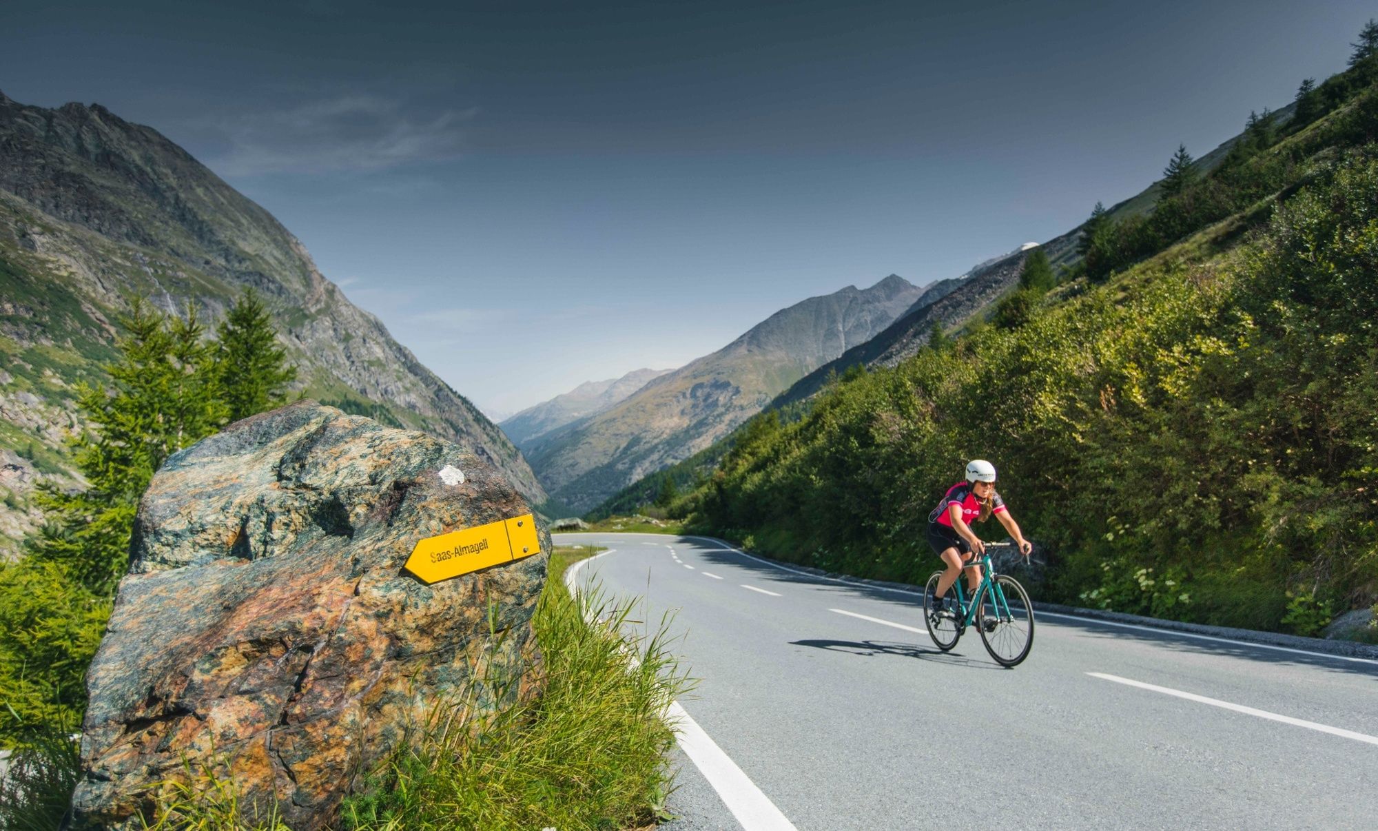
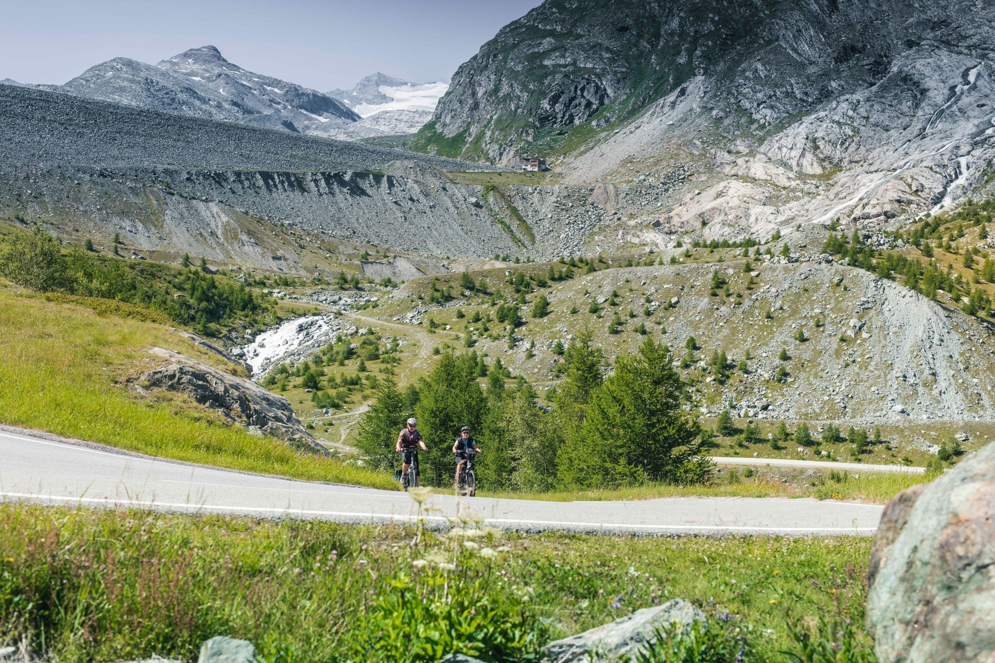
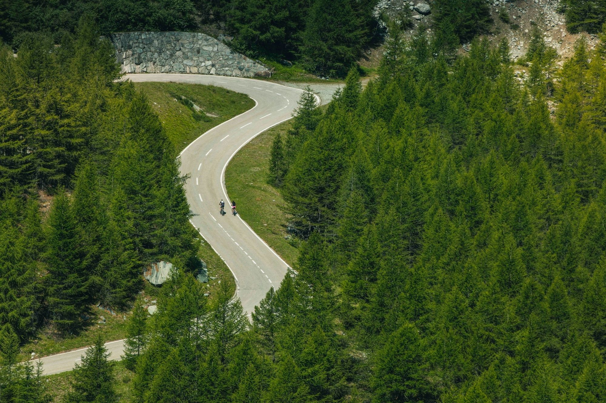
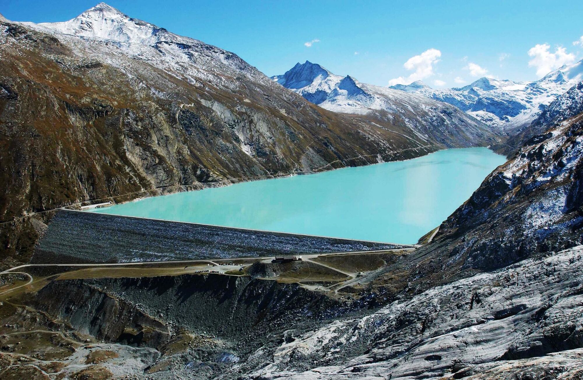
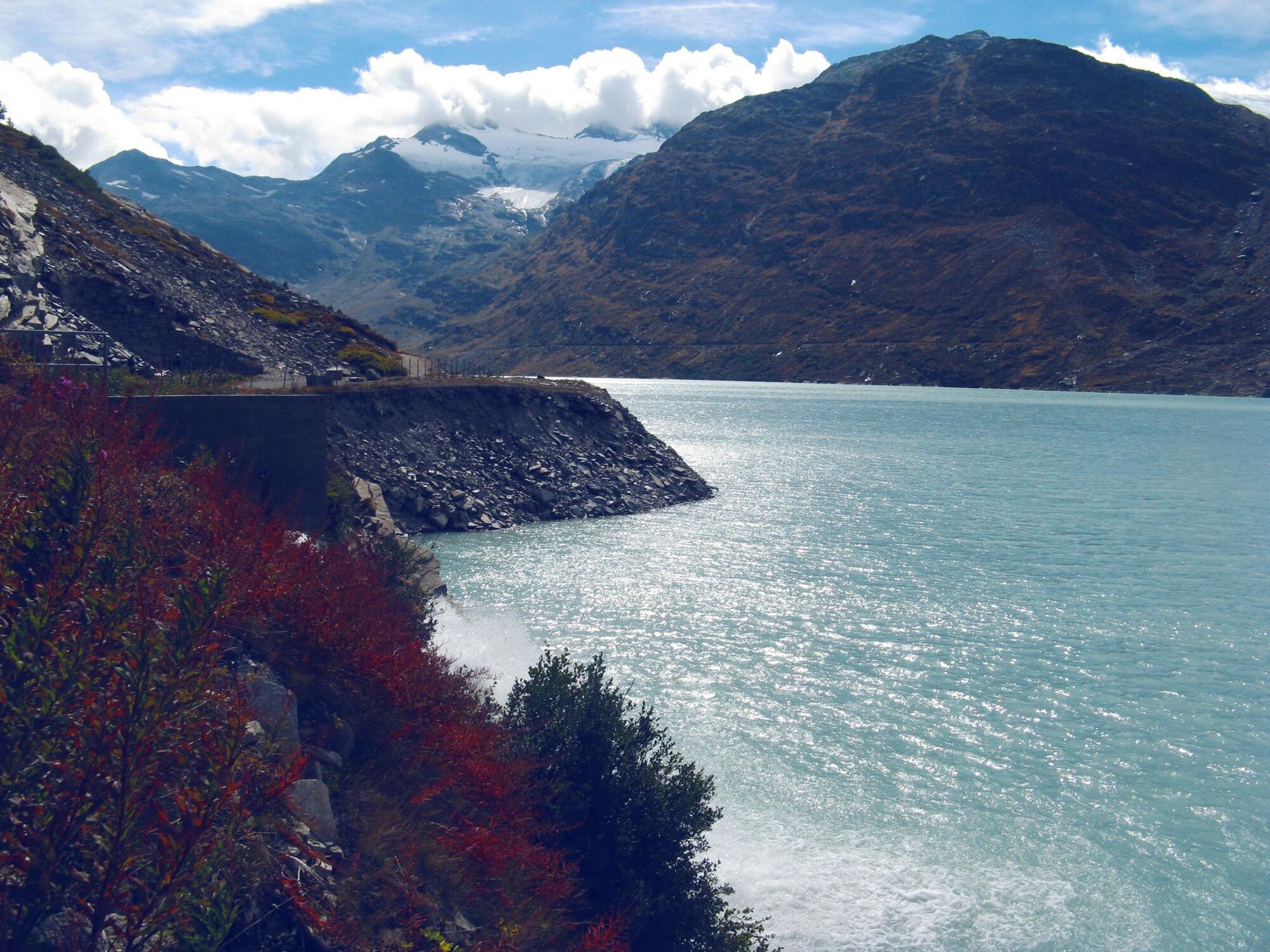
From Visp, enjoy a climb through the “Saastal” valley until the village of Saas-Grund. Attack the second half of the climb that takes you via a road carved into the mountain to this impressive dam at an altitude of 2,197 metres. Resting at the foot of the Allanine glacier and peaks that tower over 4,000 meters, take this moment to enjoy a breath of fresh air!
- Vaikeus
-
vaikea
- Arviointi
-
- Reitti
-
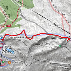
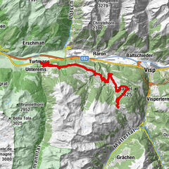
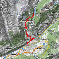
Viège (651 m)0,1 kmVisp (658 m)0,5 kmWildi1,4 kmStundhüs Sefinot2,9 kmNeubrück4,8 kmMilachru5,3 kmAckersand5,8 kmAckersand5,9 kmHohlgässi7,9 kmStalden VS7,9 kmIllas9,3 kmEisten13,6 kmTirbelwang (1.200 m)14,8 kmNiedergut18,9 kmLittle India19,5 kmEnzian19,6 kmLehn19,6 kmZum kostbaren Blut19,6 kmSaas-Balen19,6 kmDorf19,6 kmBurg19,7 kmHollerbiel19,7 kmAntoniuskapelle21,3 kmSaas-Grund22,7 kmWalliser Stube22,7 kmTenne22,7 kmSankt Bartholomäus23,0 kmPortjengrat26,9 kmSaas-Almagell26,9 kmMattmarkblick27,0 km
- Paras kausi
-
tammihelmimaalishuhtitoukokesäheinäelosyyslokamarrasjoulu
- Korkein kohta
- 2.201 m
- Kohde
-
Mattmark dam
- Korkeusprofiili
-
 © outdooractive.com


- Kirjoittaja
-
Kiertue Mattmark - Trophy of the Dams käyttää outdooractive.com toimitettu.
GPS Downloads


Yleistä tietoa
Virvokepysäkki
Kulttuuri/Historiallinen
Sisäpiirin vinkki
Lupaava
Lisää retkiä alueilla
-
Oberwallis
133
-
Saastal
23
-
Saas Grund - Hohsaas
9