© Valais/Wallis Promotion - Pascal Gertschen - Pascal Gertschen
© Valais/Wallis Promotion - VTTSA
© Grand Tours Project - Alain Rumpf
© Valais/Wallis Promotion - VTTSA

- Lyhyt kuvaus
-
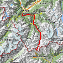
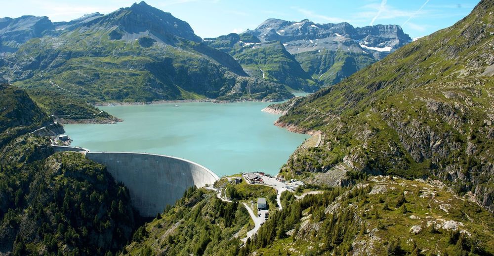
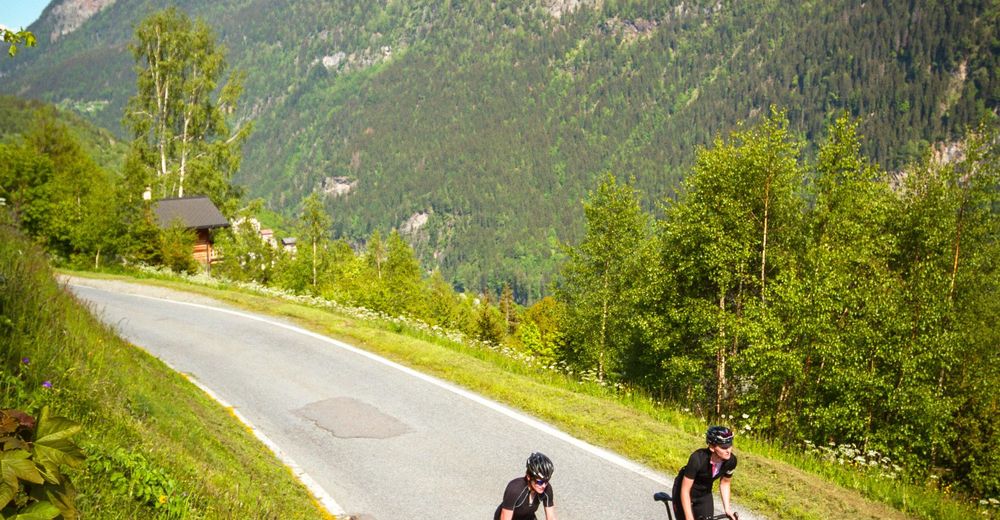
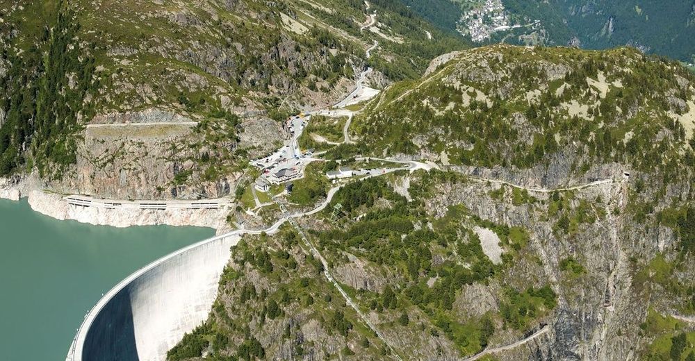
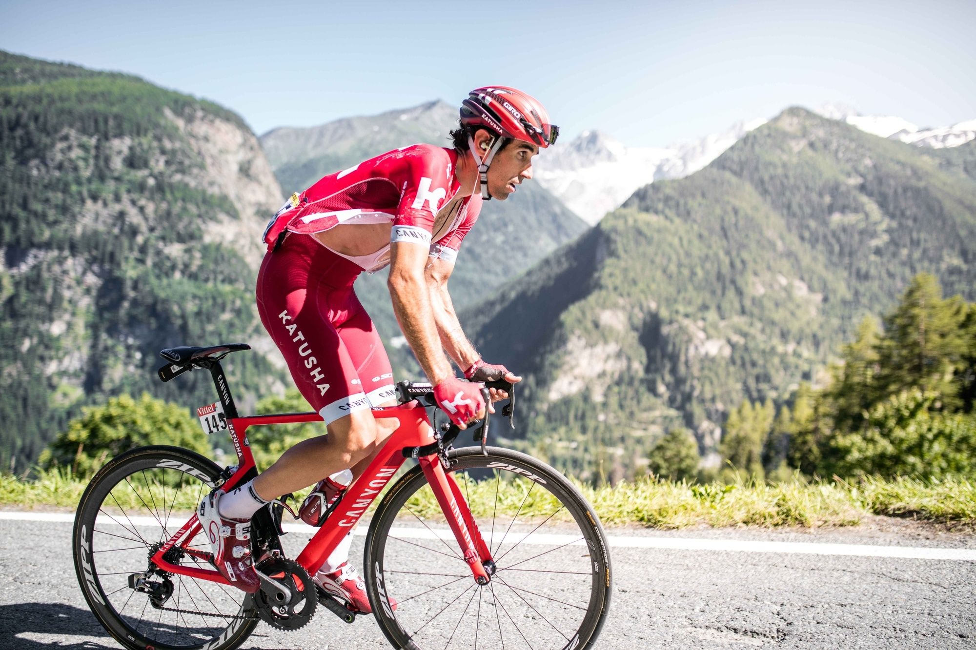
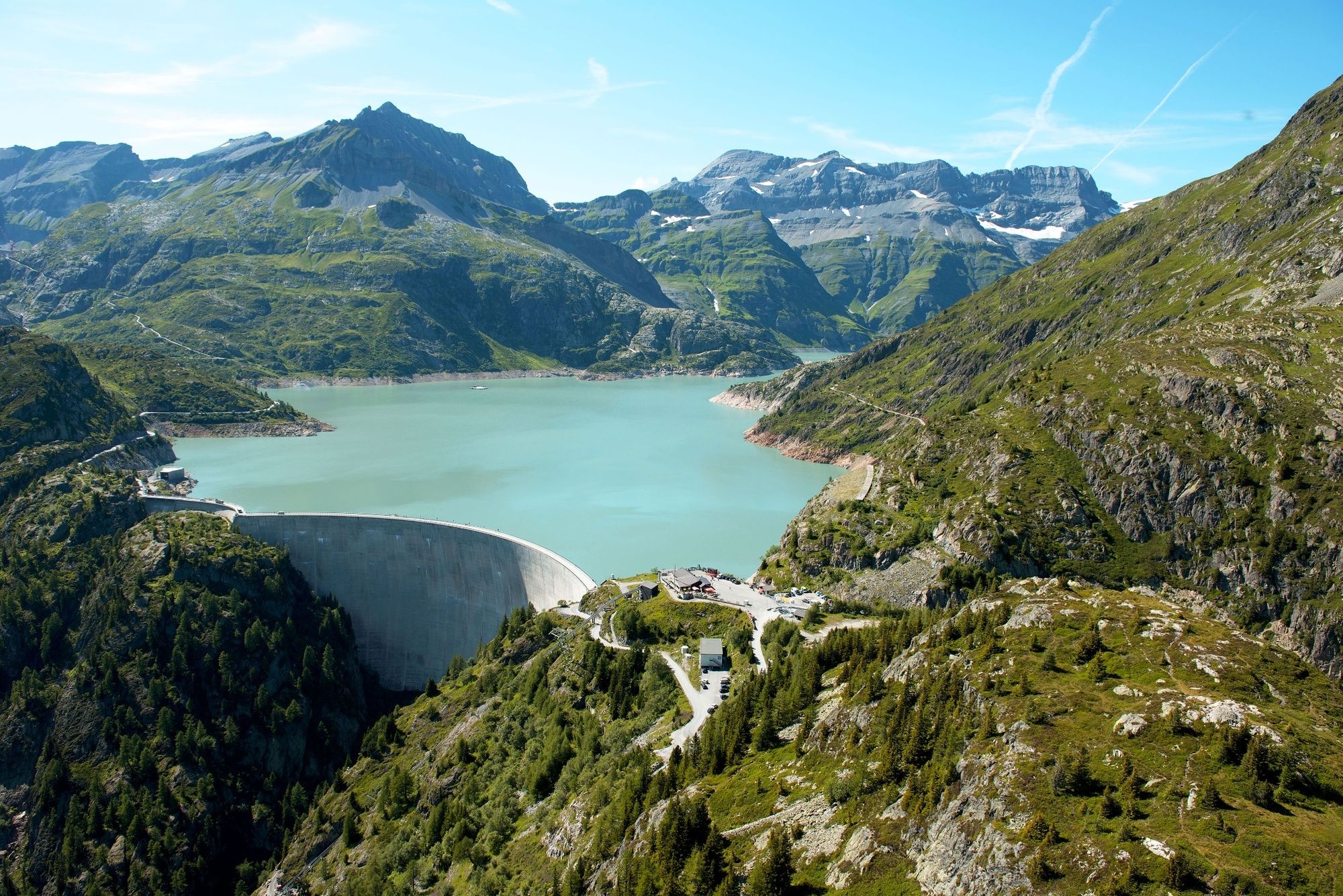
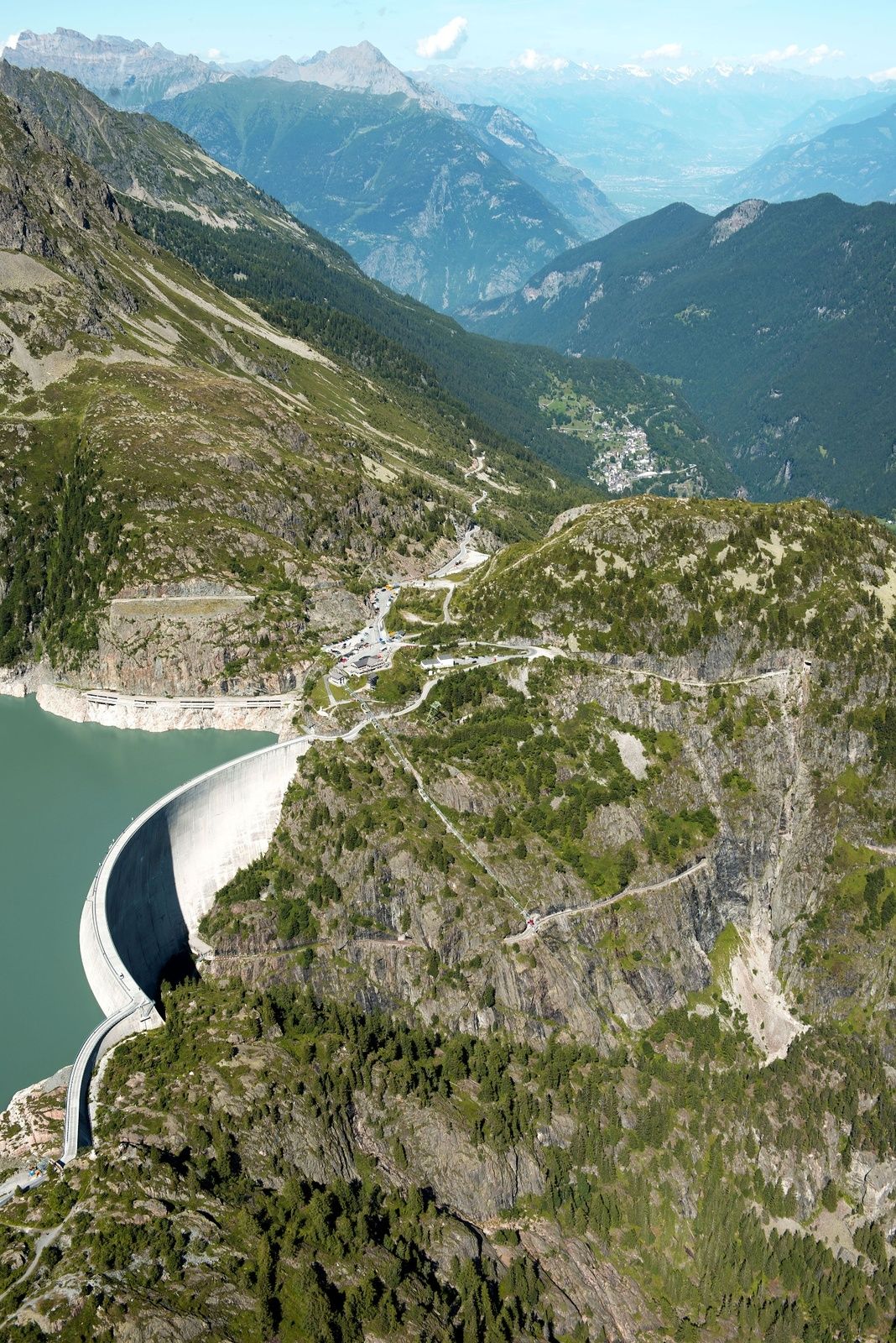
There are about eleven kilometres between Le Châtelard and the Col de la Gueulaz at a height of 1,965m. Made famous by its dinosaur tracks, this pass located at Emosson Dam had the honour of hosting the Tour de France on July 20, 2016.
- Vaikeus
-
tapa
- Arviointi
-
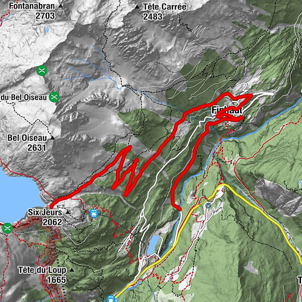
- Reitti
-
Finhaut (1.228 m)2,7 kmNotre-Dame de l’Assomption2,9 kmCentral3,1 kmChapelle anglicane3,1 kmLe Léamon3,4 kmLe They4,1 kmLes Fontaines4,6 kmLa Léchère5,3 kmLe Pas9,0 kmNotre-Dame de la neige10,7 km
- Paras kausi
-
tammihelmimaalishuhtitoukokesäheinäelosyyslokamarrasjoulu
- Korkein kohta
- 1.964 m
- Kohde
-
Col de la Gueulaz
- Korkeusprofiili
-
 © outdooractive.com
- Kirjoittaja
-
Kiertue Col de la Gueulaz – Legendary Mountain Passes käyttää outdooractive.com toimitettu.
GPS Downloads


Yleistä tietoa
Virvokepysäkki
Sisäpiirin vinkki
Lupaava
Lisää retkiä alueilla