© Val d'Anniviers - Anniviers Tourisme

© Val d'Anniviers - Anniviers Tourisme

© Val d'Anniviers - Anniviers Tourisme

© Val d'Anniviers - Anniviers Tourisme

© Val d'Anniviers - Anniviers Tourisme

© Val d'Anniviers - Anniviers Tourisme

© Val d'Anniviers - Anniviers Tourisme

© Val d'Anniviers - Anniviers Tourisme

© Val d'Anniviers - Anniviers Tourisme

© Val d'Anniviers - Anniviers Tourisme
- Lyhyt kuvaus
-
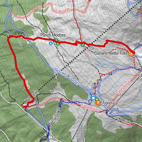
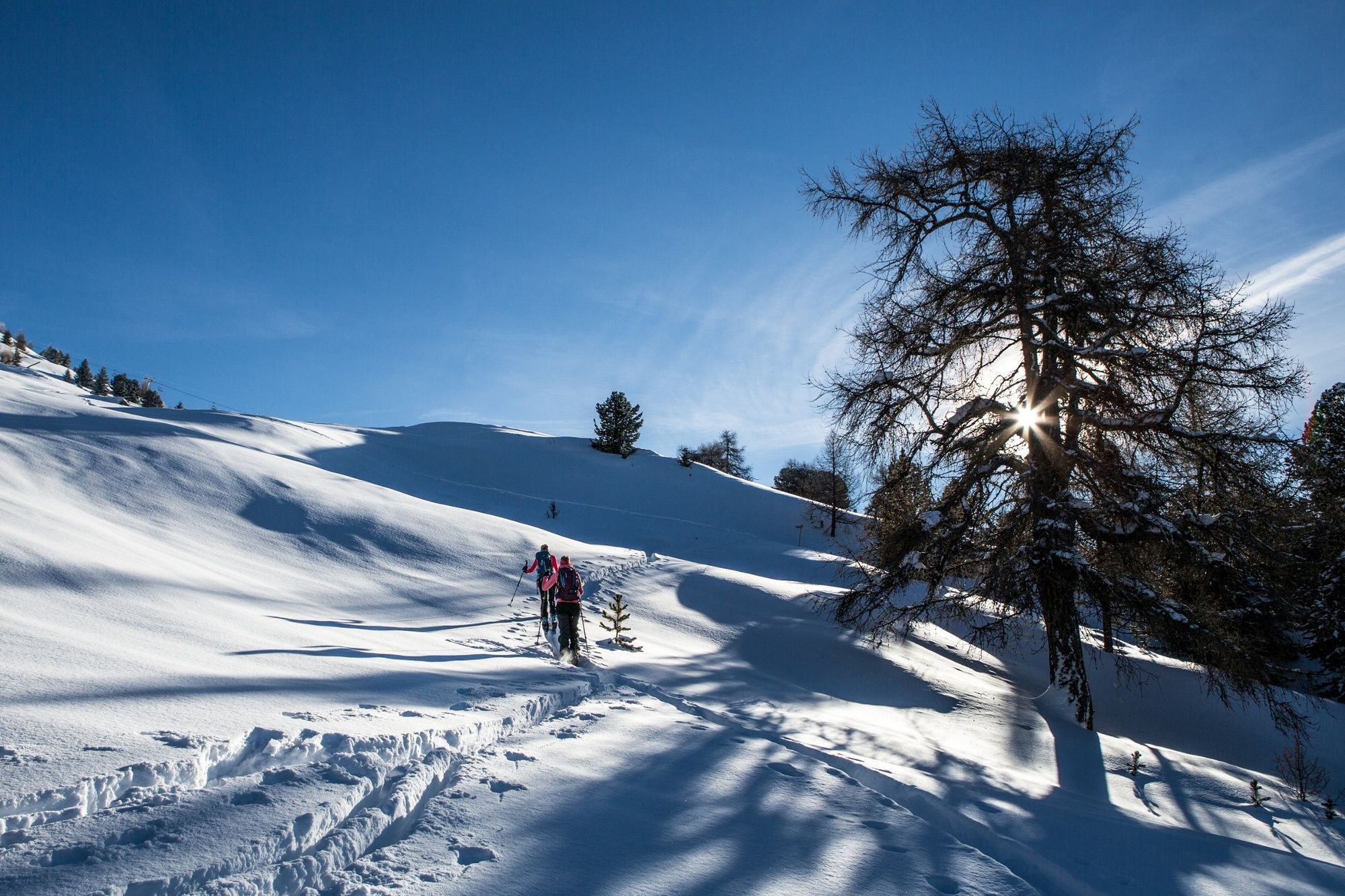
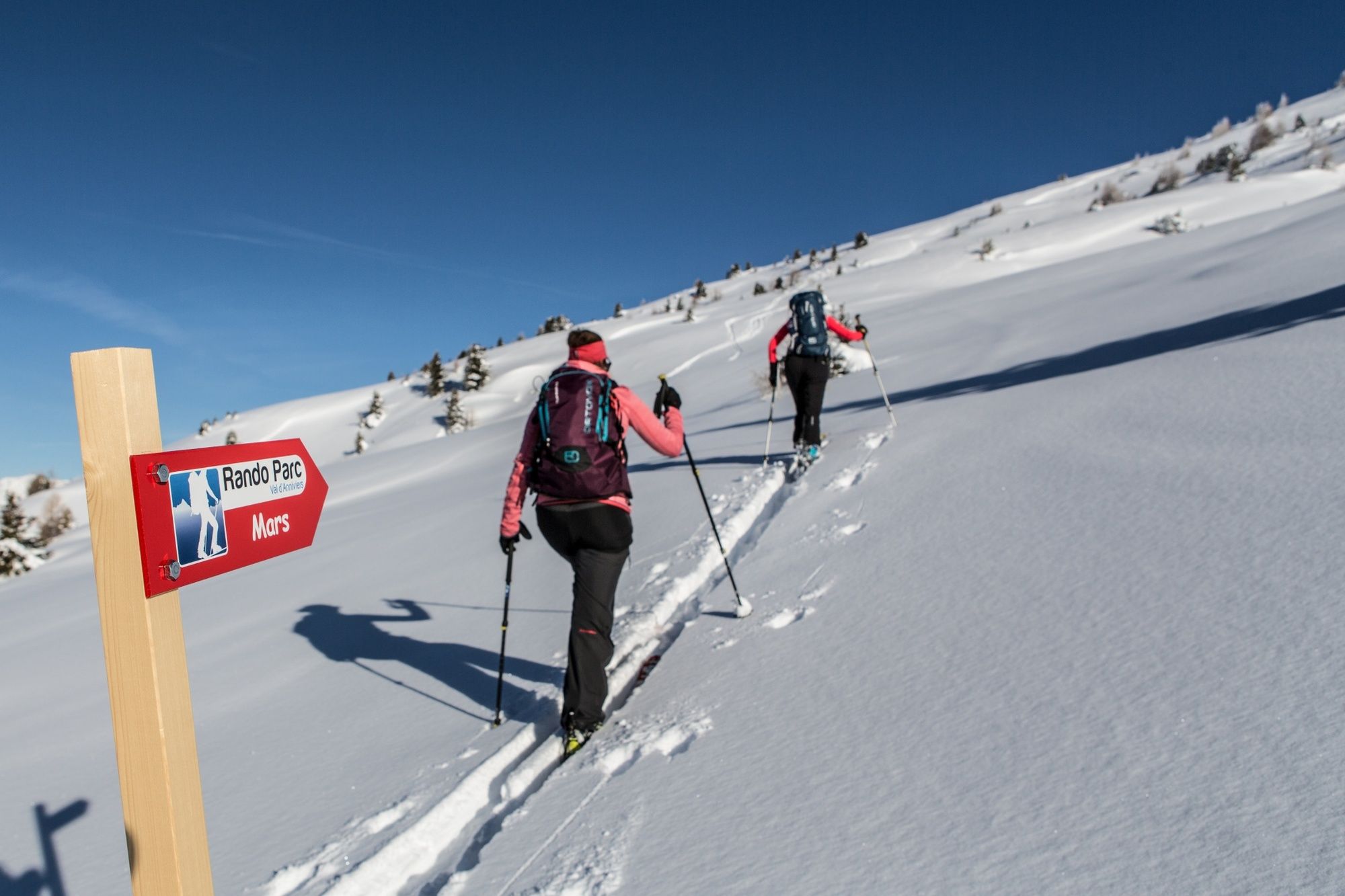
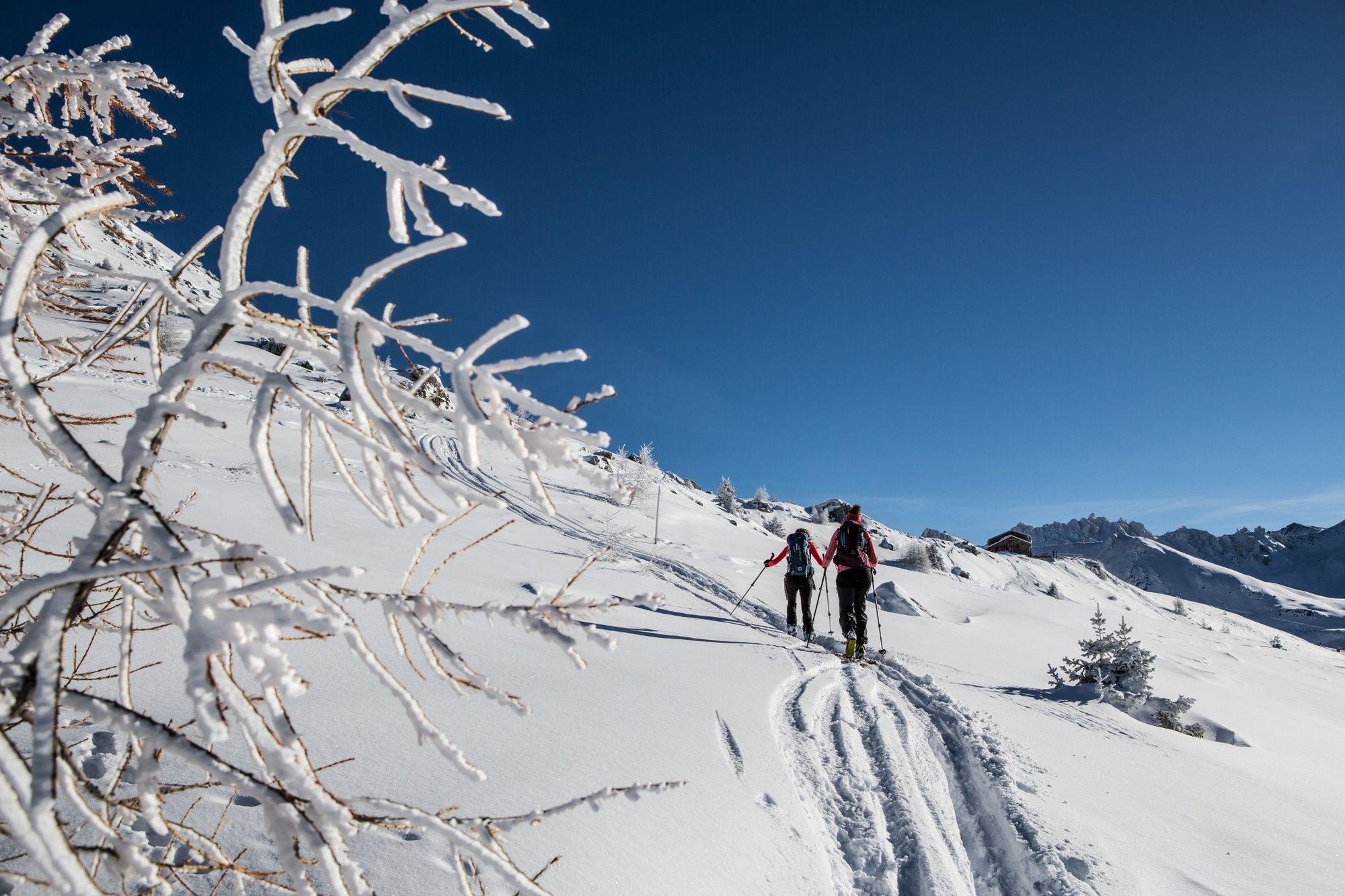
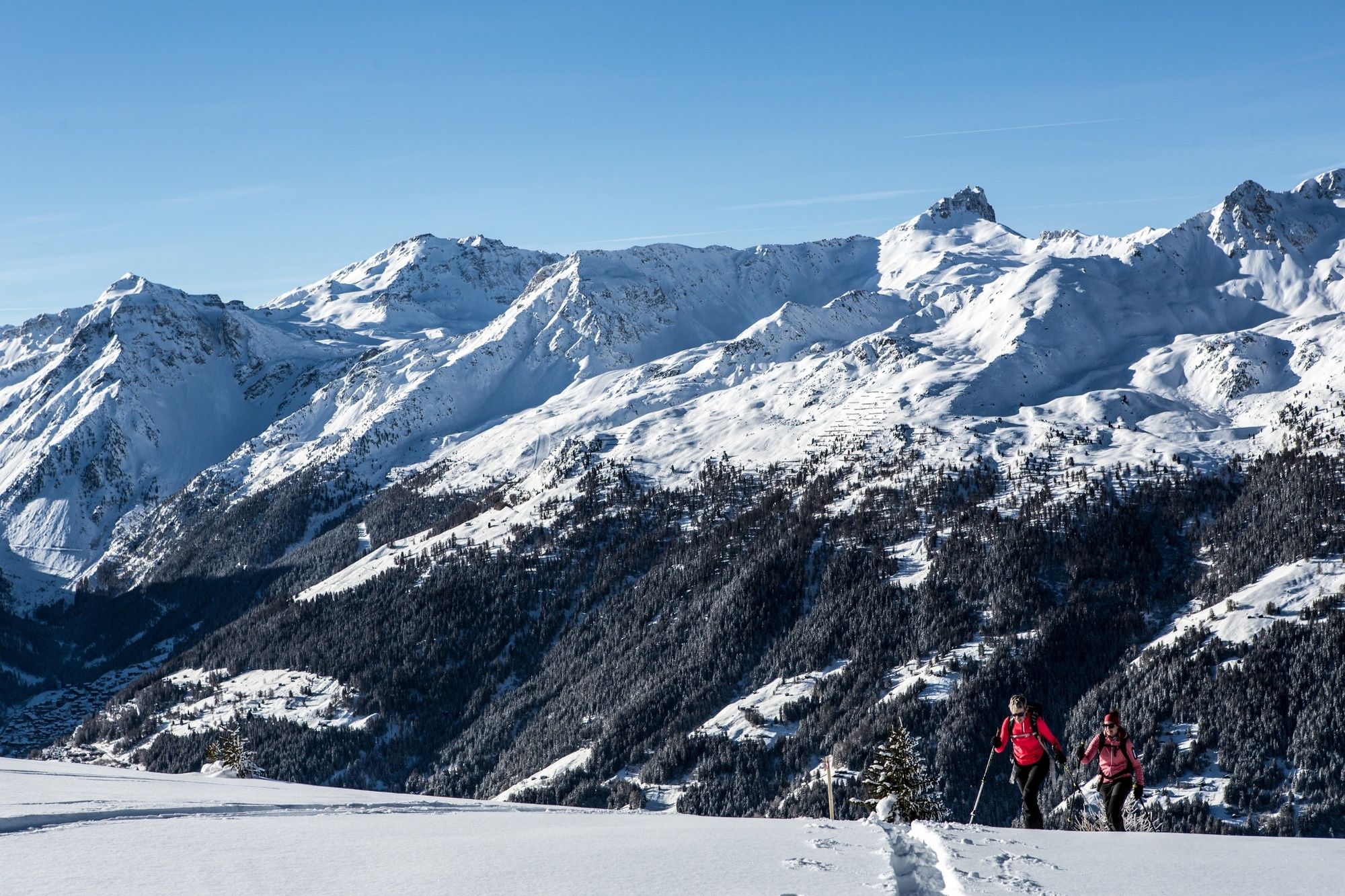
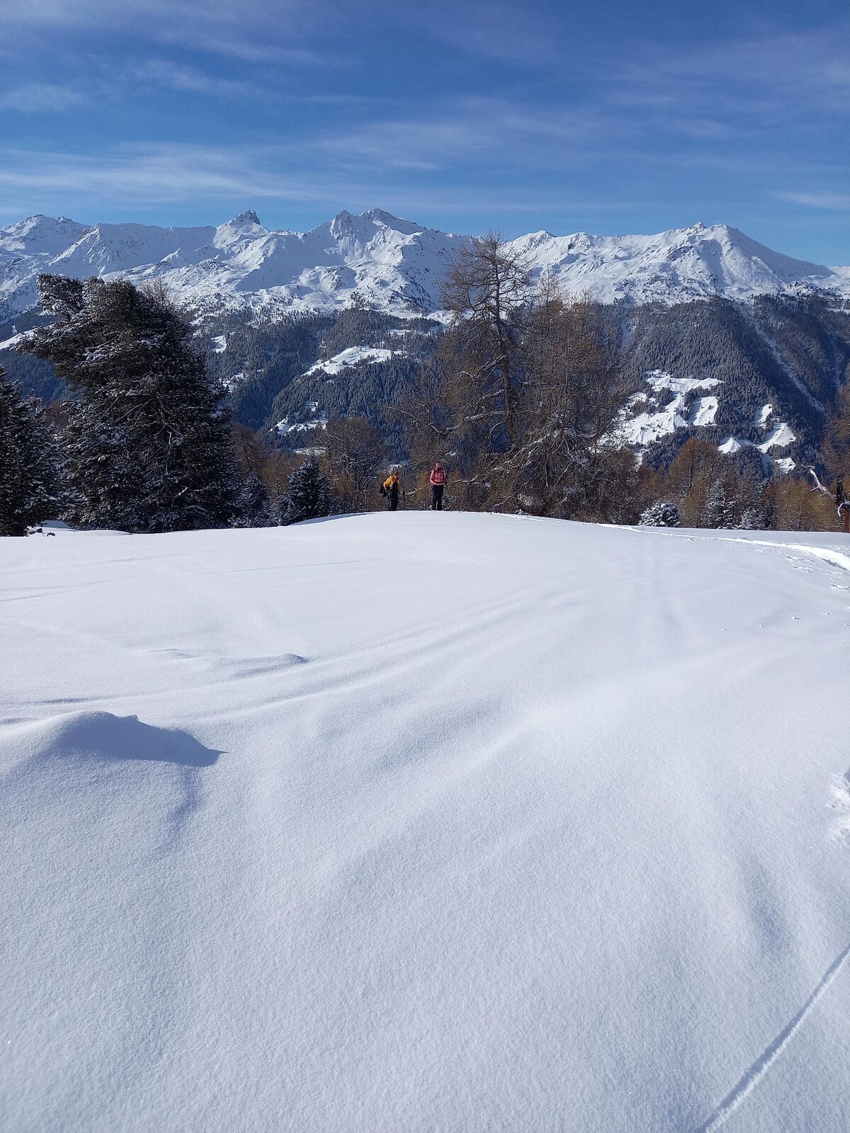
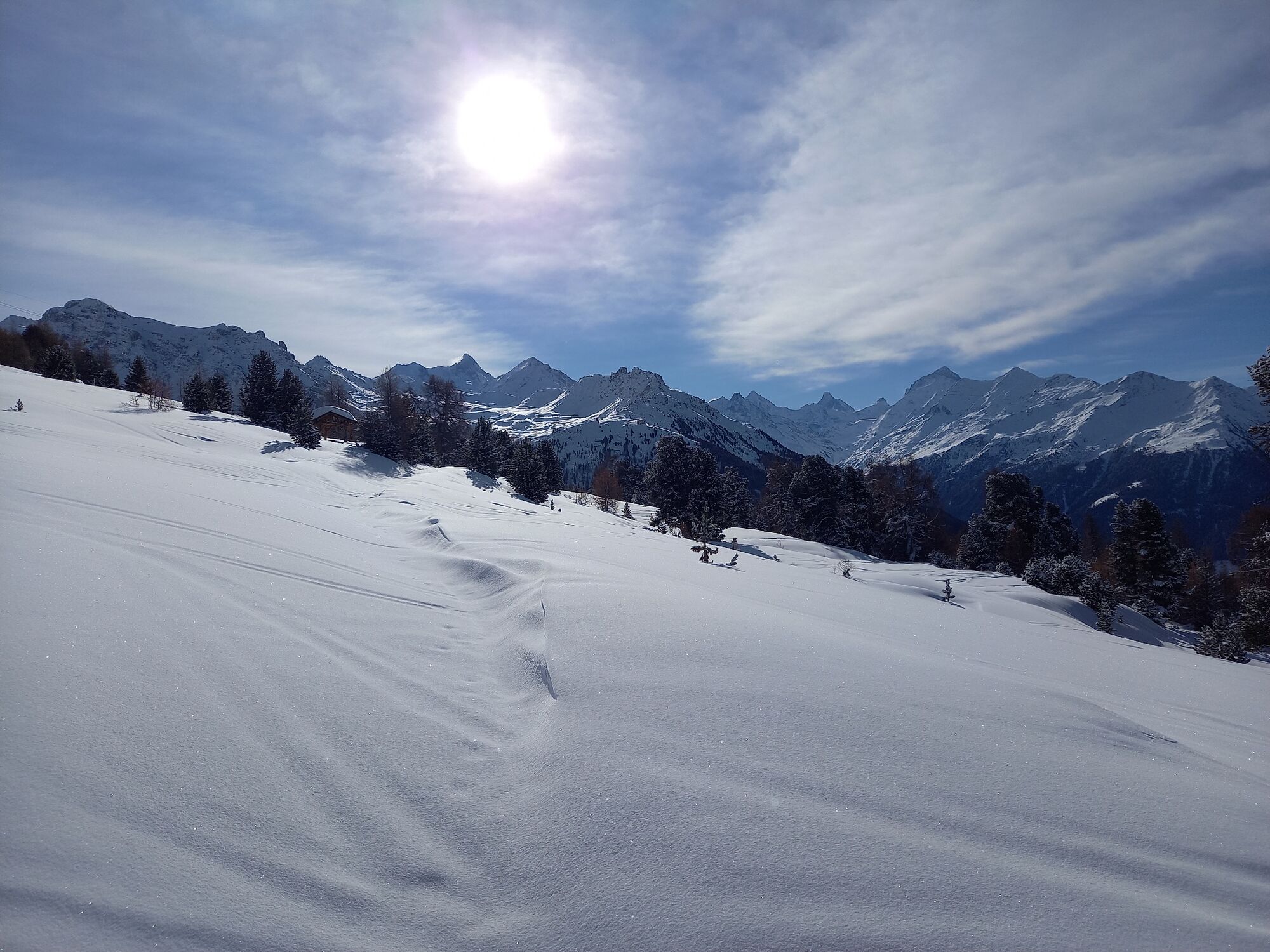
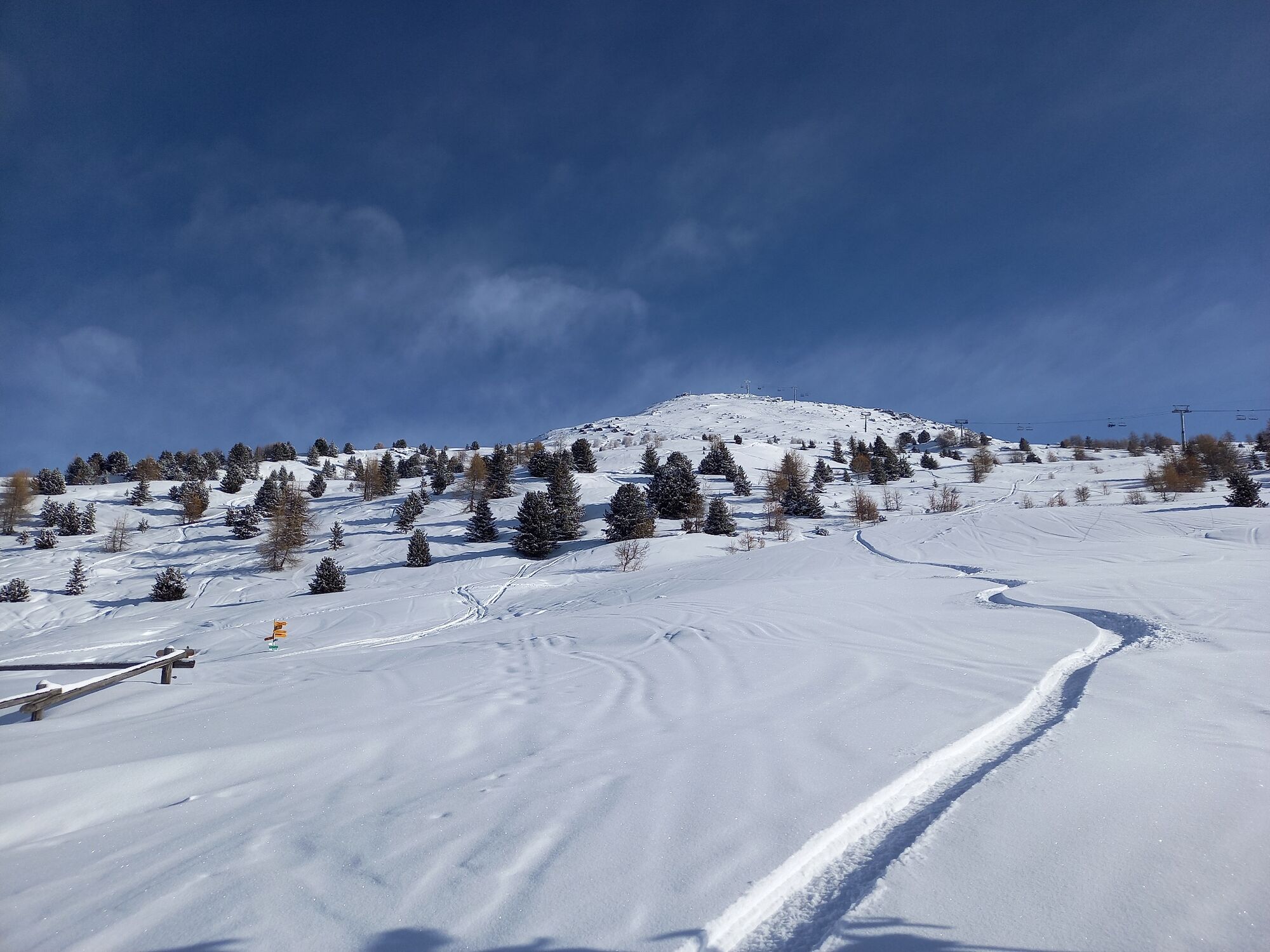
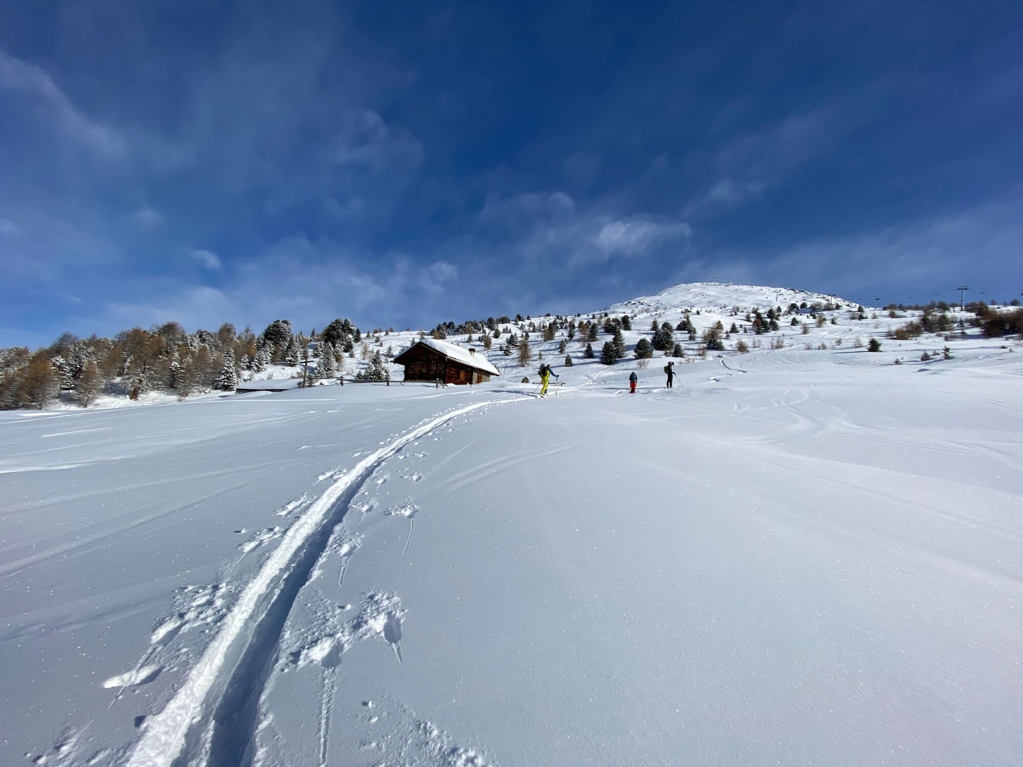
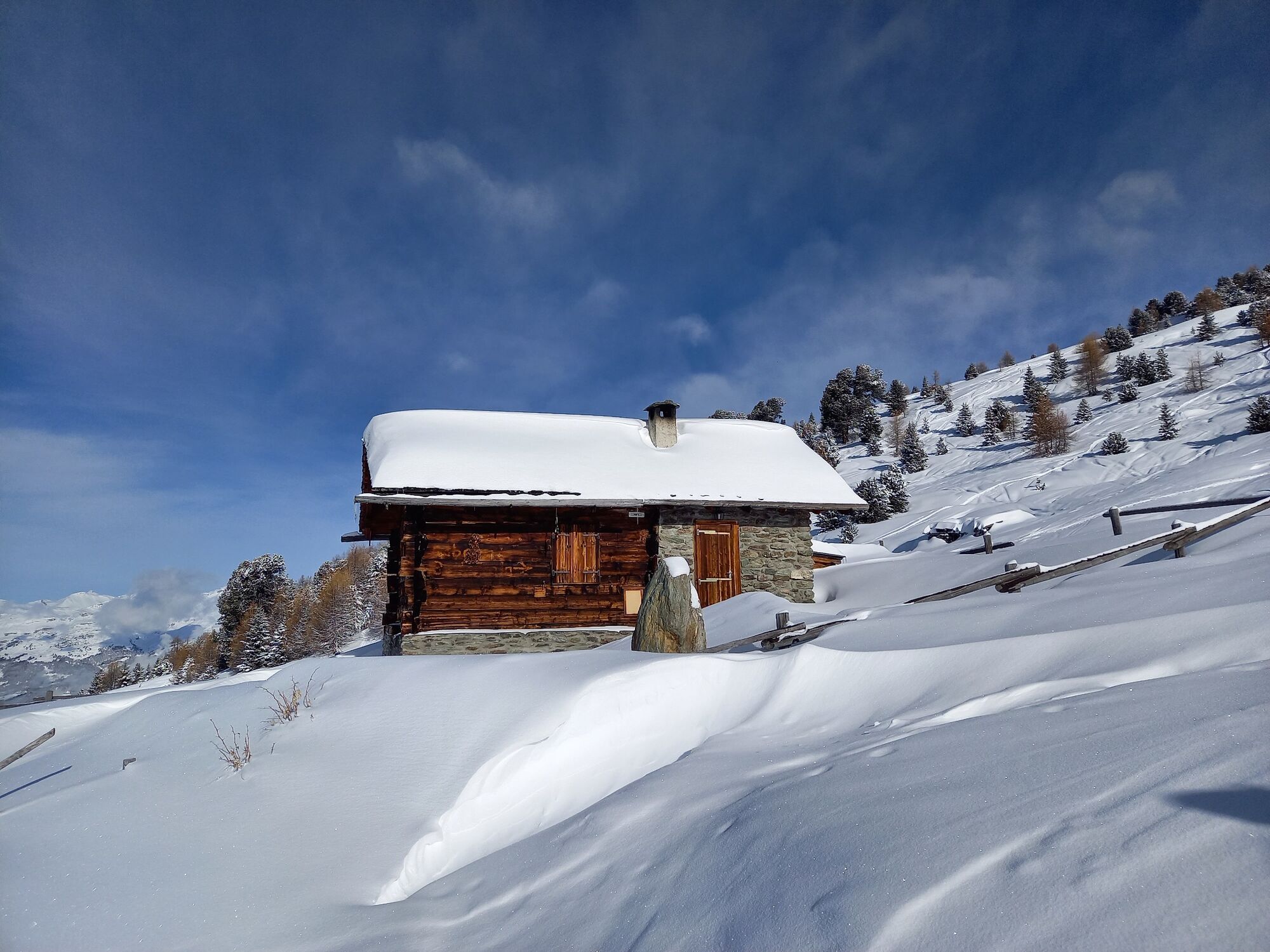
An easy trail, between forest and mayens, to the Bella Tola hut.
- Vaikeus
-
helppo
- Arviointi
-
- Reitti
-
Par di Modzes1,2 kmCabane Bella-Tola (2.346 m)2,1 km
- Korkein kohta
- 2.349 m
- Kohde
-
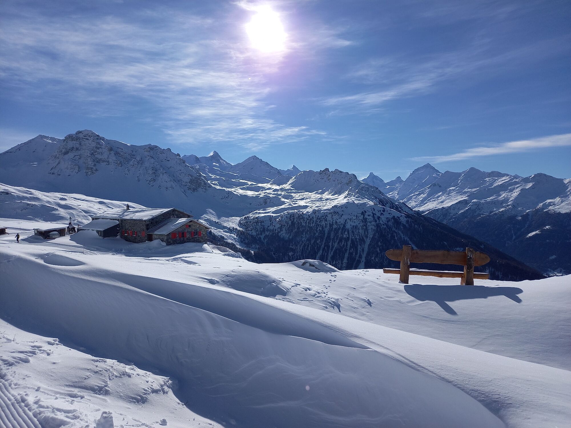
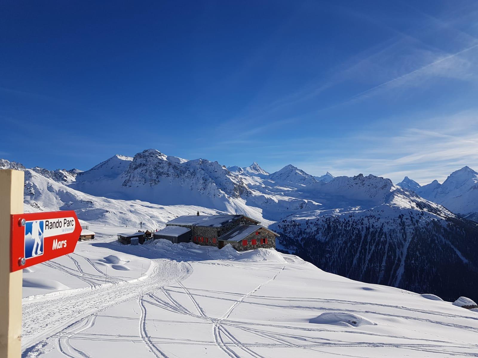
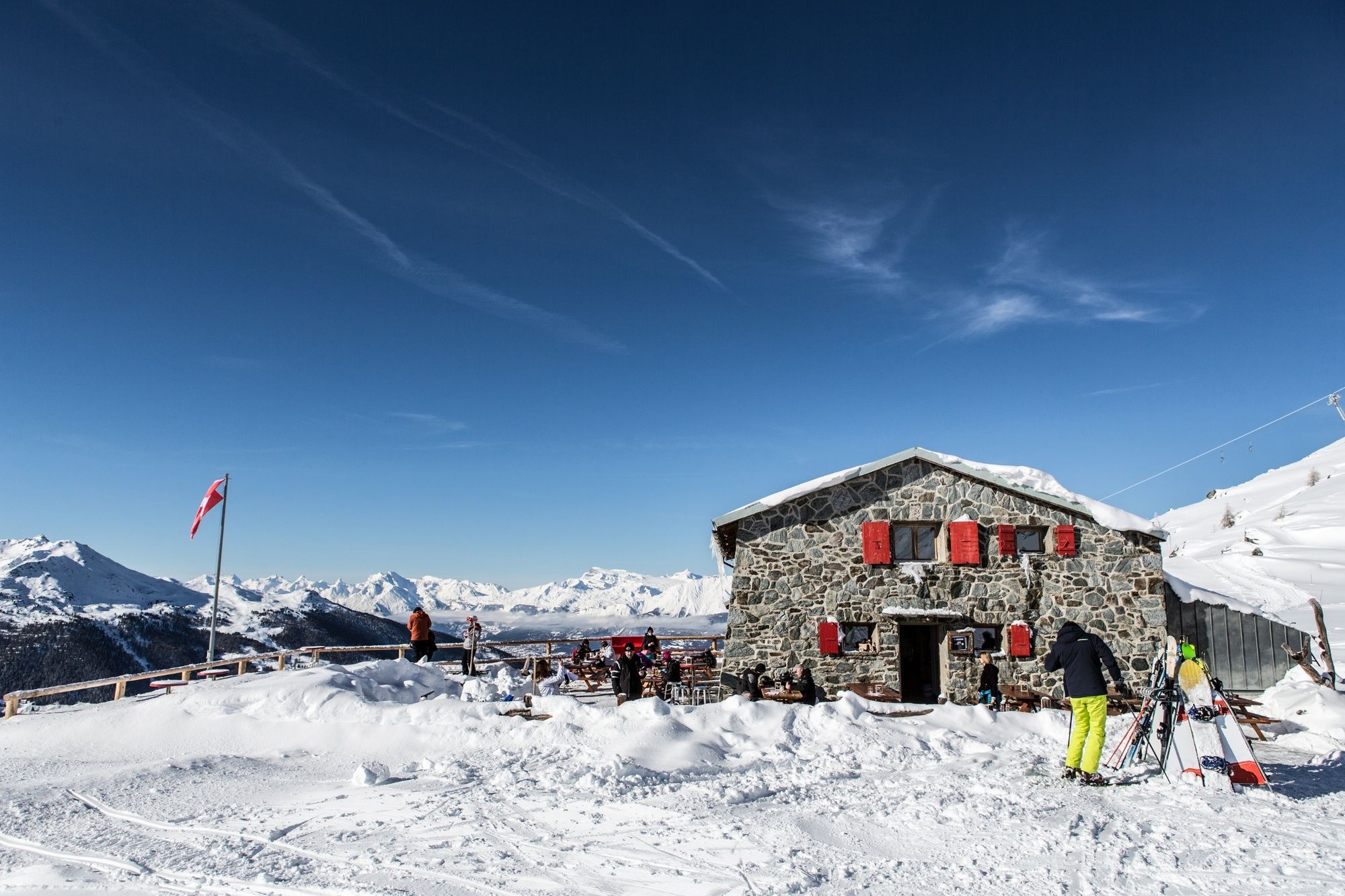
Cabane Bella-Tola
- Korkeusprofiili
-
 © outdooractive.com
- Kirjoittaja
-
Kiertue St-Luc : Rando Parc / Mars käyttää outdooractive.com toimitettu.
GPS Downloads


Yleistä tietoa
Virvokepysäkki
Lisää retkiä alueilla
-
Oberwallis
118
-
Sierre Anniviers
44
-
St-Luc / Chandolin
15