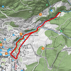
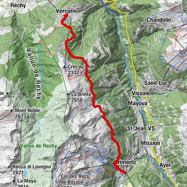
Tour of the Val d’Anniviers: Grimentz – Vercorin (stage 4)


© Valais/Wallis Promotion - Alban Mathieu

© Valais/Wallis Promotion - Alban Mathieu

© Valais/Wallis Promotion - Alban Mathieu

© Valais/Wallis Promotion - Alban Mathieu

- Lyhyt kuvaus
-
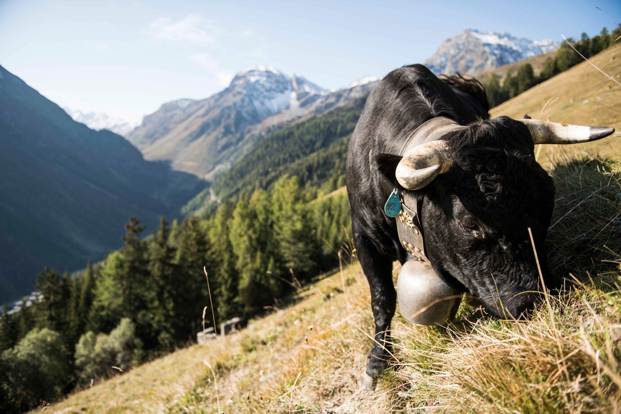
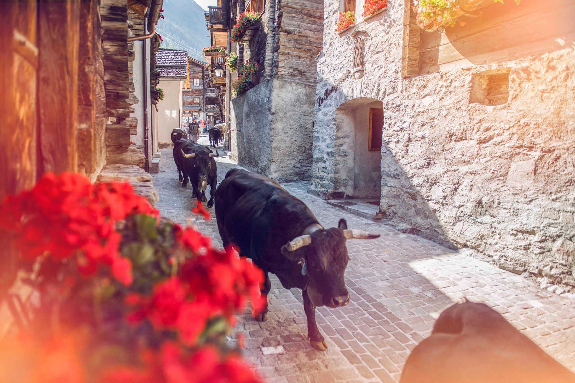
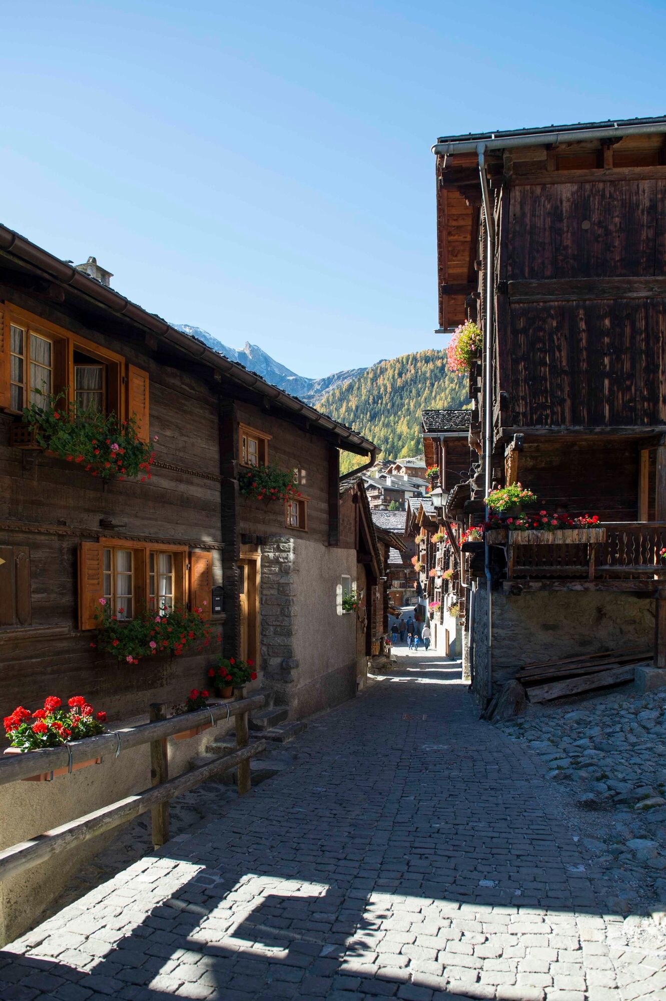
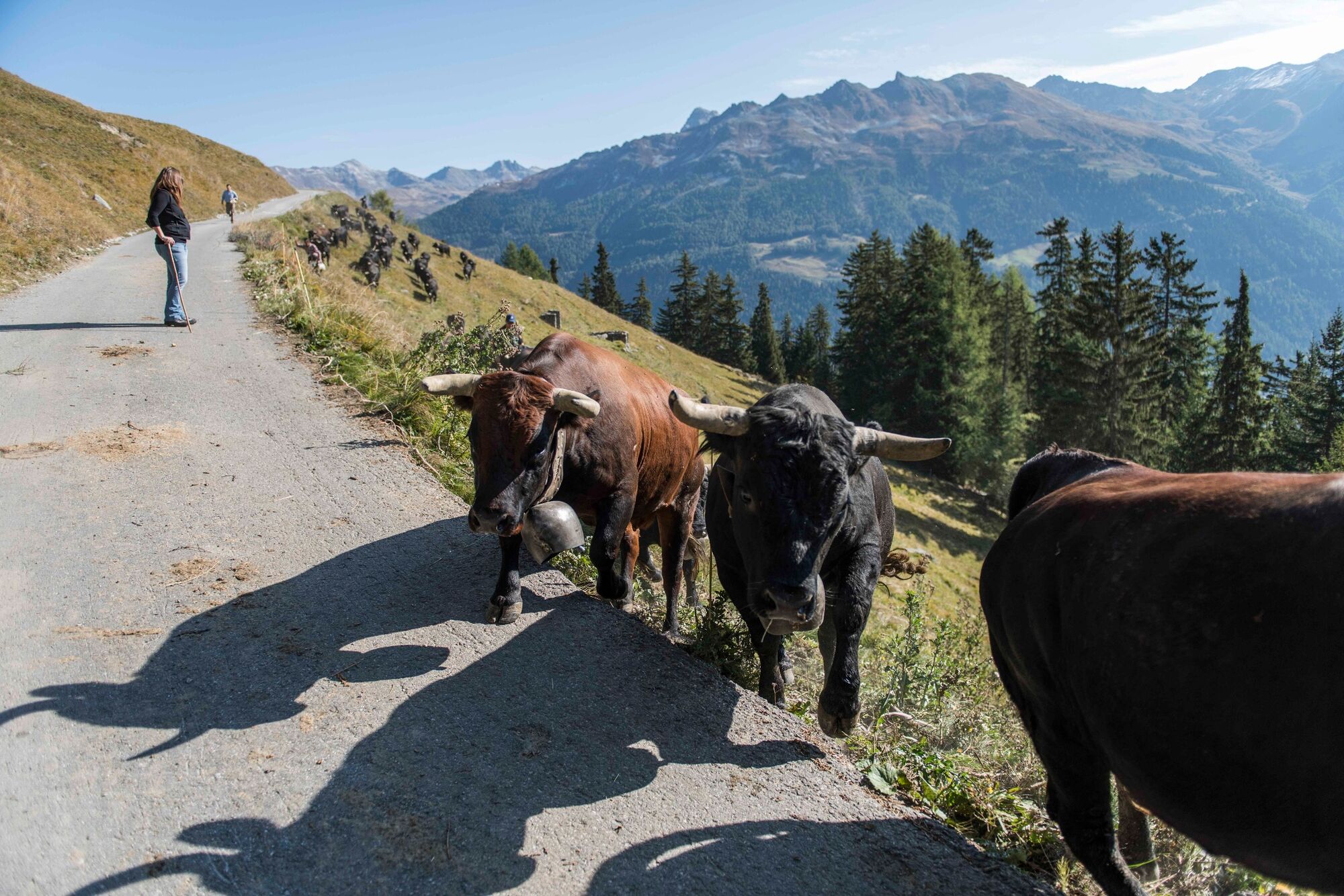
Panoramic trail on the western slopes overlooking the Val d’Anniviers, linking two of the valley’s most delightful villages: picturesque Grimentz and arty Vercorin.
- Vaikeus
-
tapa
- Arviointi
-
- Reitti
-
Grimentz (1.564 m)0,3 kmSigeroulaz (1.861 m)10,0 kmLiches12,2 kmVercorin (1.330 m)12,9 km
- Paras kausi
-
tammihelmimaalishuhtitoukokesäheinäelosyyslokamarrasjoulu
- Korkein kohta
- 2.135 m
- Kohde
-
Vercorin
- Korkeusprofiili
-
 © outdooractive.com
-

-
KirjoittajaKiertue Tour of the Val d’Anniviers: Grimentz – Vercorin (stage 4) käyttää outdooractive.com toimitettu.
GPS Downloads


Yleistä tietoa
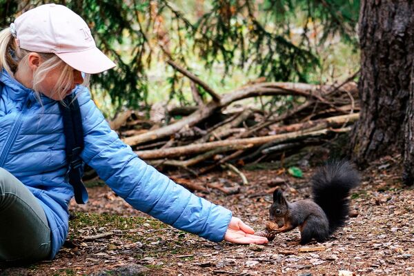
Flora
Fauna
Lupaava
Lisää retkiä alueilla
-
Thyon les Collons
1426
-
Sierre Anniviers
782
-
Vissoie
371