© My Leukerbad AG

© My Leukerbad AG
© My Leukerbad AG

© My Leukerbad AG

© My Leukerbad AG

© My Leukerbad AG

- Lyhyt kuvaus
-
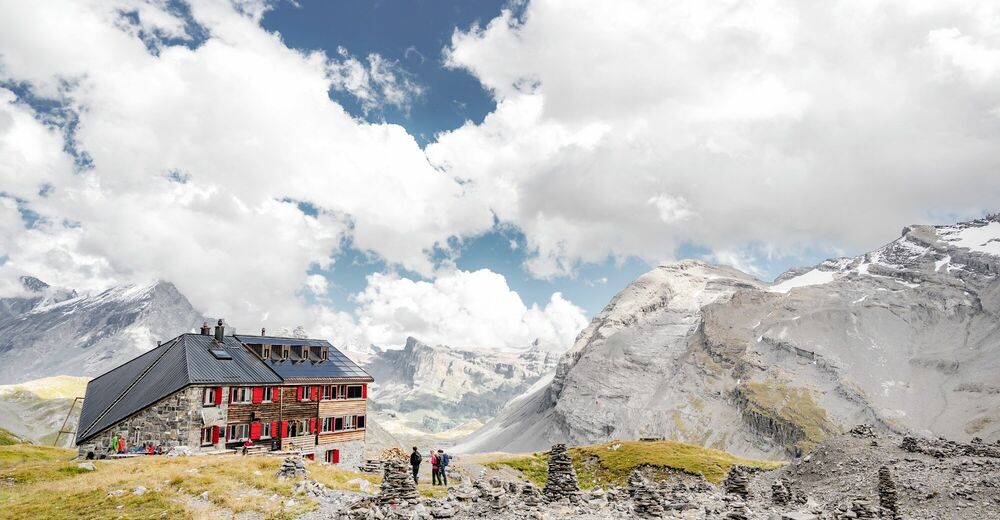
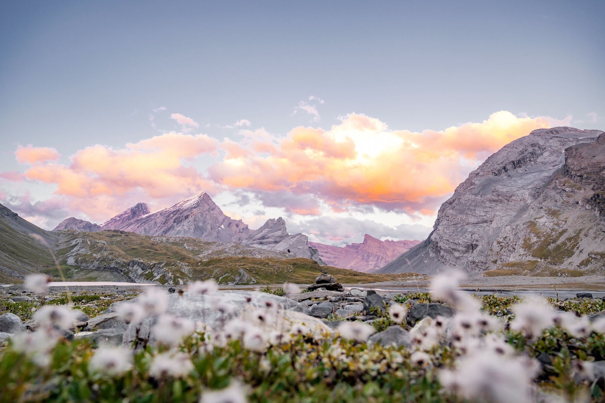
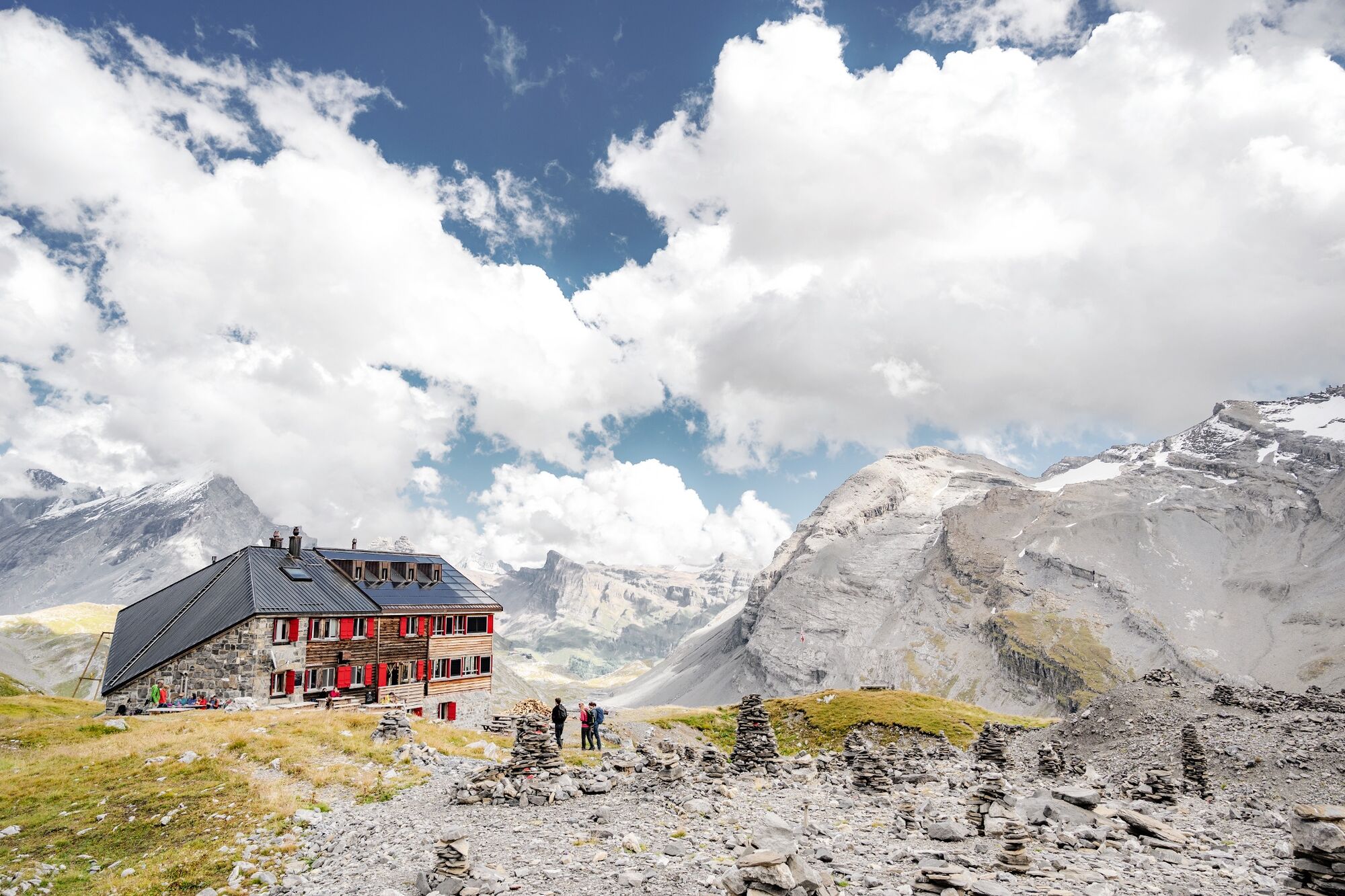
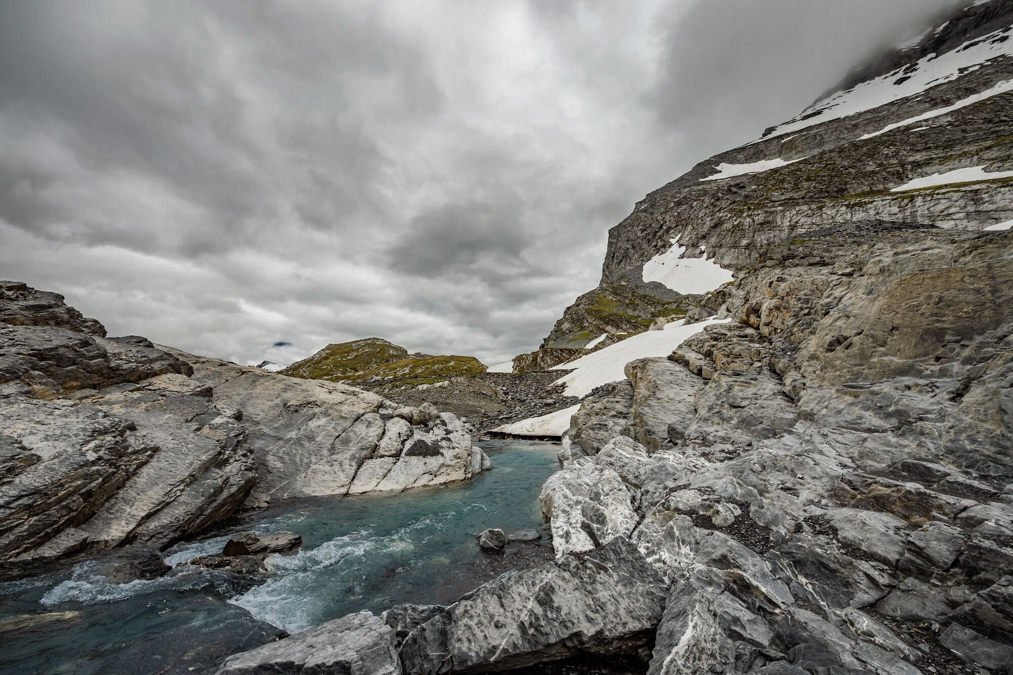
Hike along the glacier trail across the Lämmerenboden plateau, from the Gemmi Pass to the Lämmeren hut. Located at the foot of the Wildstrubel massif, the refuge offers fine views of the Valais Alps.
- Vaikeus
-
tapa
- Arviointi
-
- Reitti
-
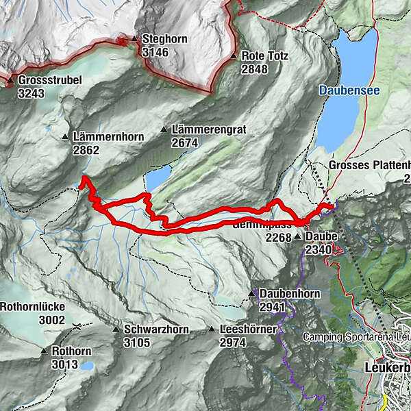
Gemmipass (2.268 m)0,5 kmLämmerenhütte4,3 kmGemmipass (2.268 m)8,6 km
- Paras kausi
-
tammihelmimaalishuhtitoukokesäheinäelosyyslokamarrasjoulu
- Korkein kohta
- 2.504 m
- Kohde
-
Gemmi Pass
- Korkeusprofiili
-
 © outdooractive.com


- Kirjoittaja
-
Kiertue Glacier trail and Lämmeren mountain refuge käyttää outdooractive.com toimitettu.
GPS Downloads


Yleistä tietoa
Virvokepysäkki
Flora
Fauna
Lupaava
Lisää retkiä alueilla
-
Oberwallis
1872
-
Leuk/Leukerbad
1028
-
Leukerbad
309