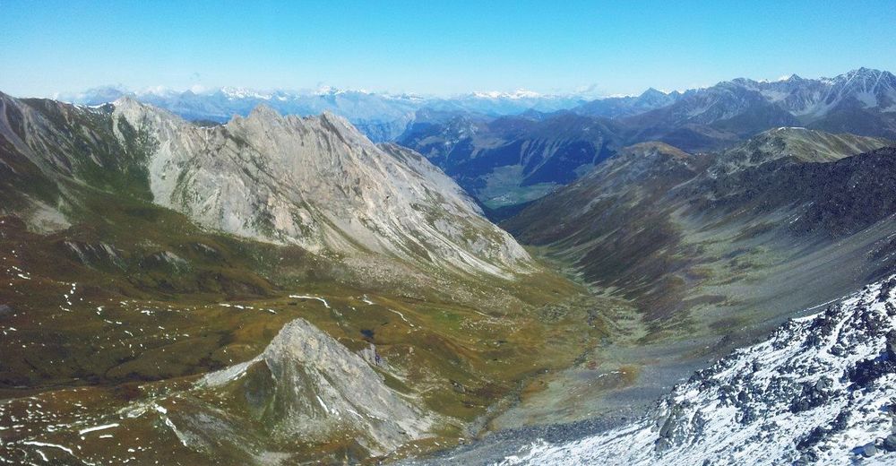
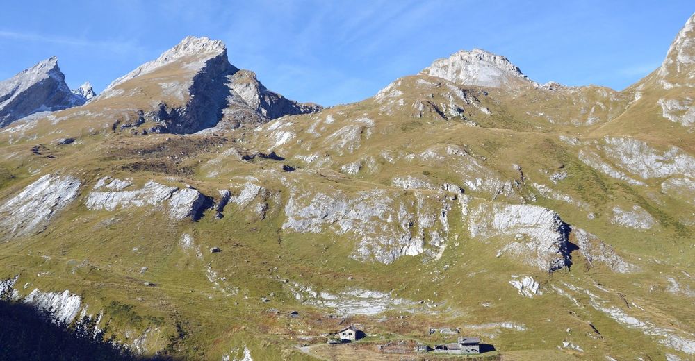
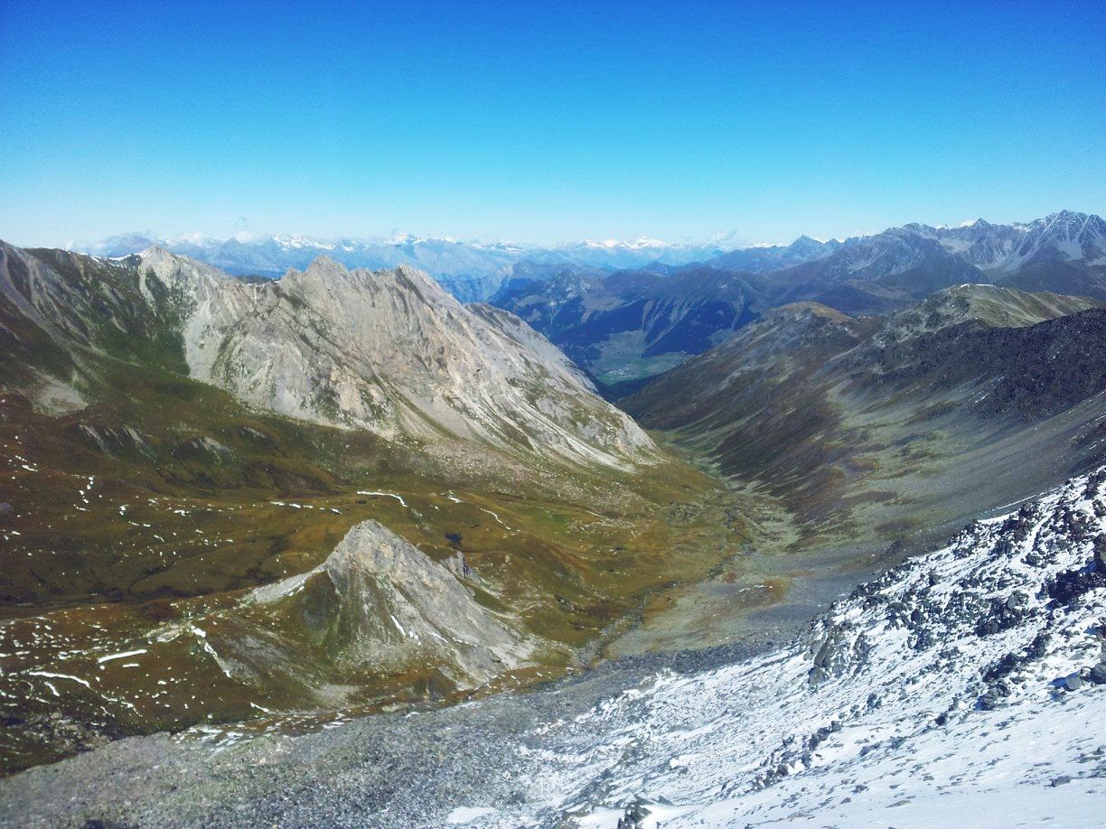
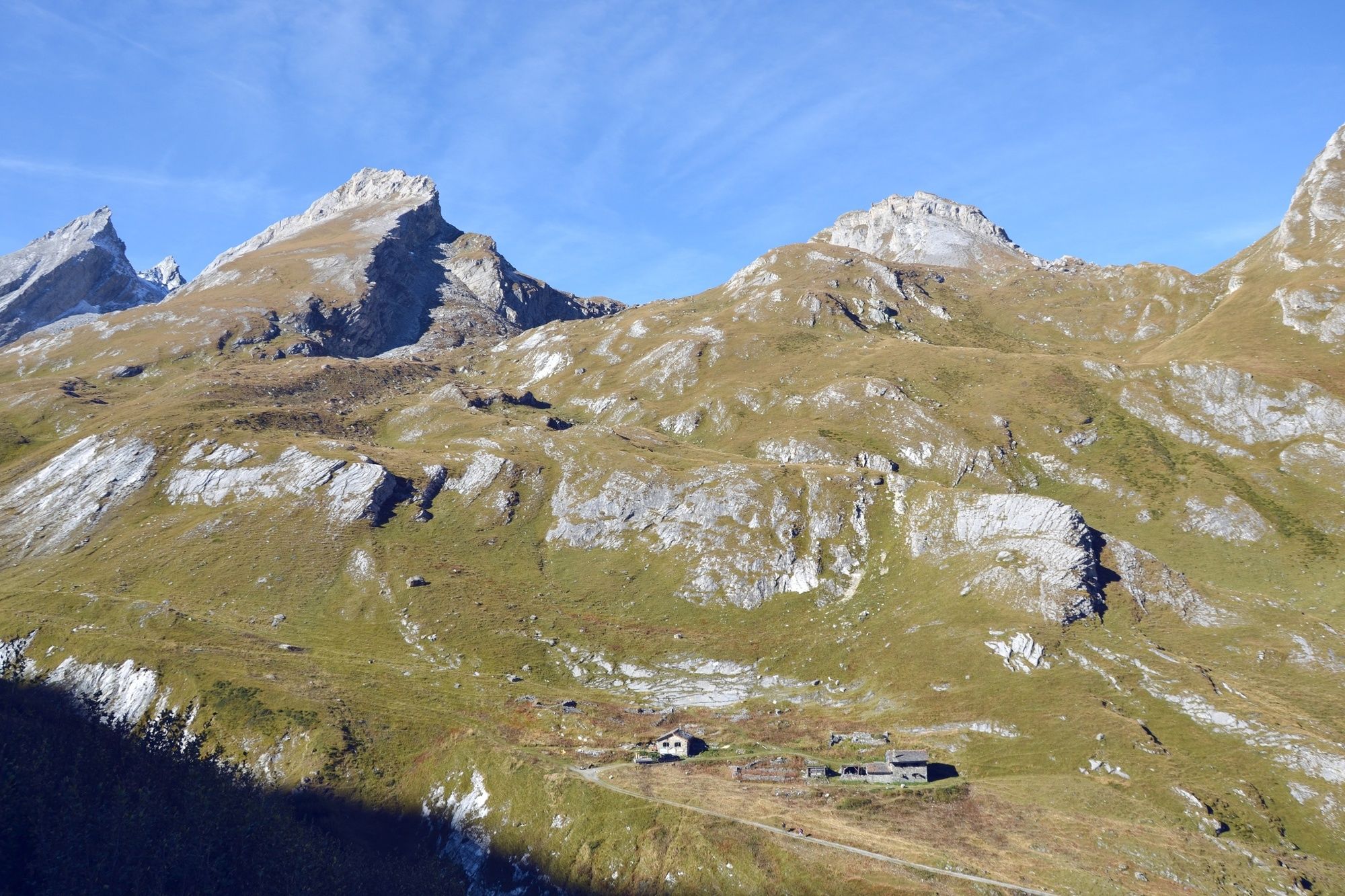
© Valais/Wallis Promotion - Gaëtan Tornay
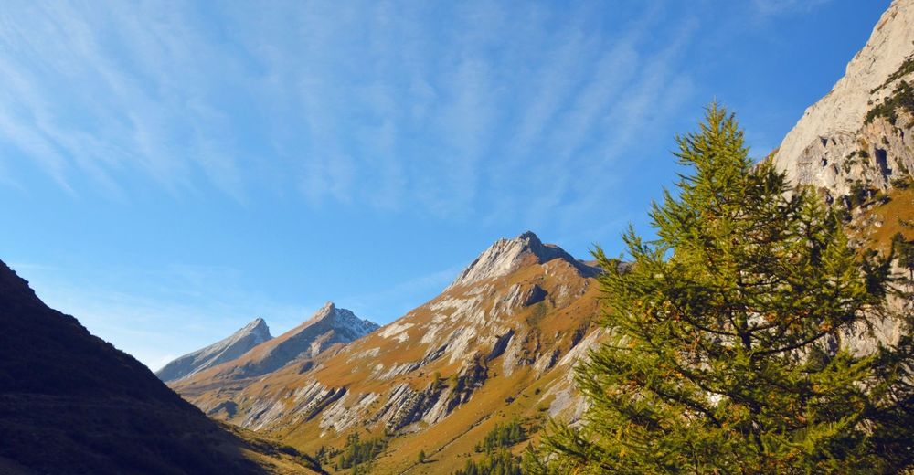
© Pays du Saint Bernard - Gaëtan Tornay
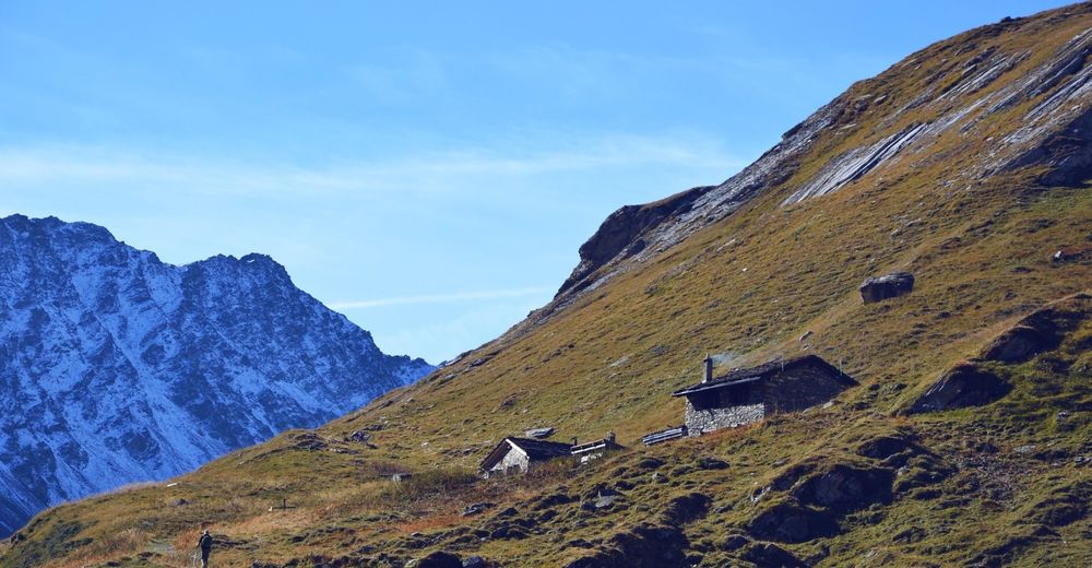
© Valais/Wallis Promotion - Gaëtan Tornay
© Valais/Wallis Promotion - Gaëtan Tornay

- Lyhyt kuvaus
-
Hike the full length of one of the wildest valleys in Valais. Glorious scenery, excellent opportunities to spot wildlife, fascinating geological trail, friendly mountain refuge.
- Vaikeus
-
vaikea
- Arviointi
-
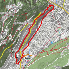
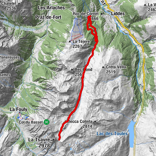
- Reitti
-
Vouasse8,0 kmNeve de la Rousse (2.752 m)10,0 kmVouasse11,9 kmCabane de la Tsissette (2.005 m)15,0 kmLe Chapelet (1.595 m)21,1 km
- Paras kausi
-
tammihelmimaalishuhtitoukokesäheinäelosyyslokamarrasjoulu
- Korkein kohta
- 2.733 m
- Kohde
-
Vichères, chairlift
- Korkeusprofiili
-
 © outdooractive.com


-

-
KirjoittajaKiertue Across the valley «La combe de L’A» käyttää outdooractive.com toimitettu.
GPS Downloads


Yleistä tietoa
Virvokepysäkki
Sisäpiirin vinkki
Flora
Fauna
Lupaava
Lisää retkiä alueilla
-
Unterwallis
1195
-
Pays du Saint-Bernard
327
-
Vichères-Liddes
104