© Blatten-Belalp Tourismus - Debora Schwitter


© Blatten-Belalp Tourismus - Debora Schwitter

© Blatten-Belalp Tourismus - Debora Schwitter


© Blatten-Belalp Tourismus - Debora Schwitter

© Blatten-Belalp Tourismus - Debora Schwitter

© Blatten-Belalp Tourismus - Debora Schwitter
- Lyhyt kuvaus
-
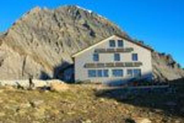
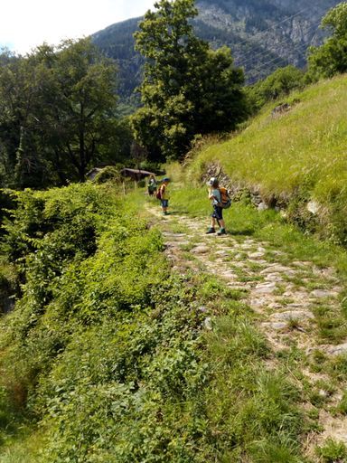
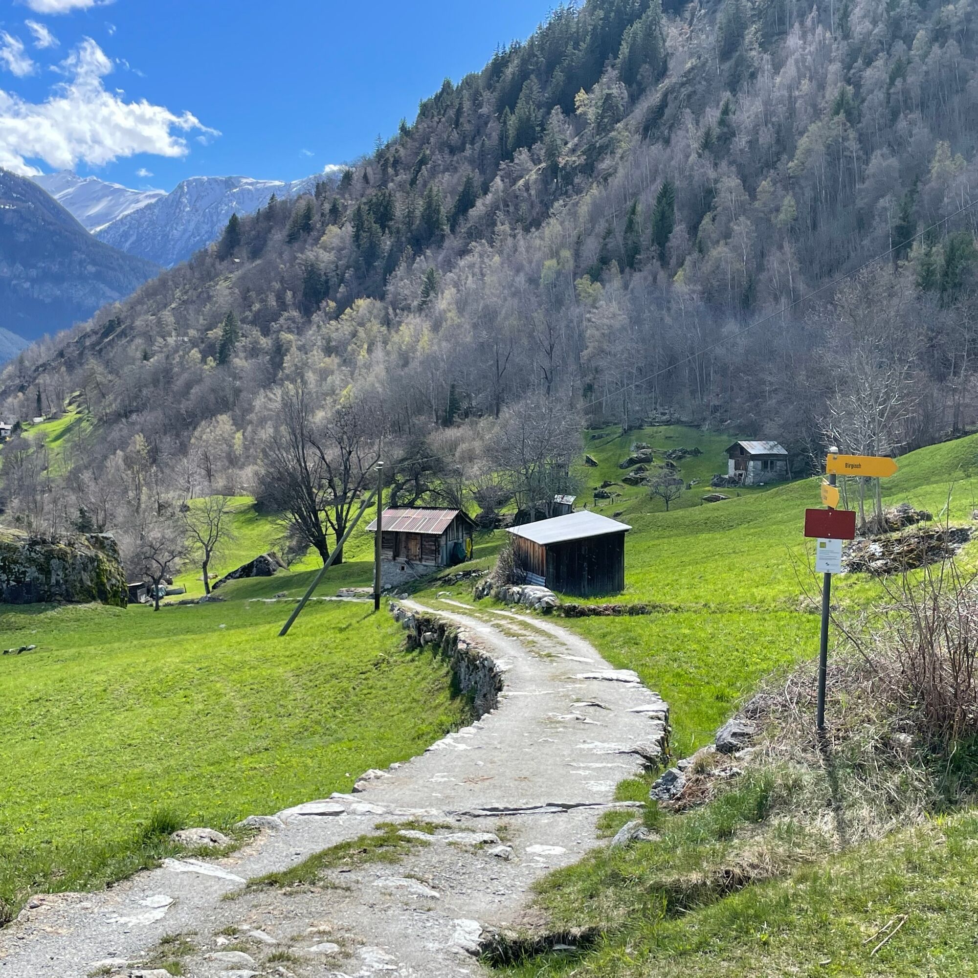
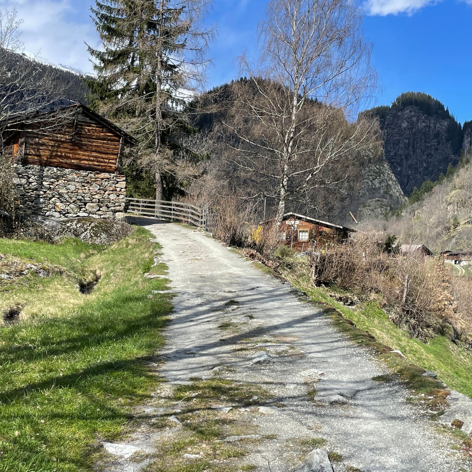
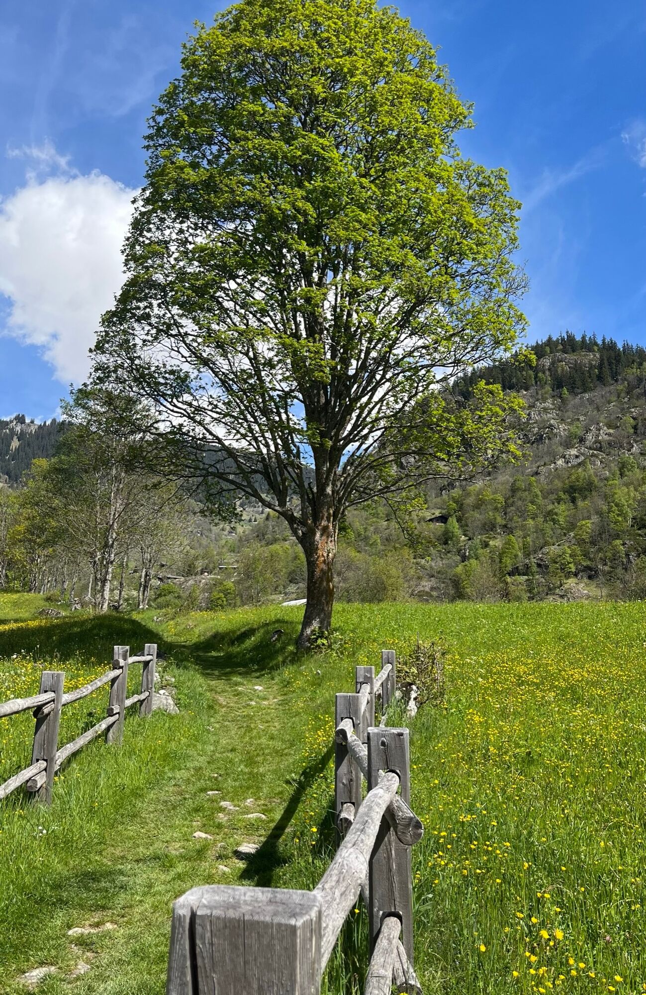
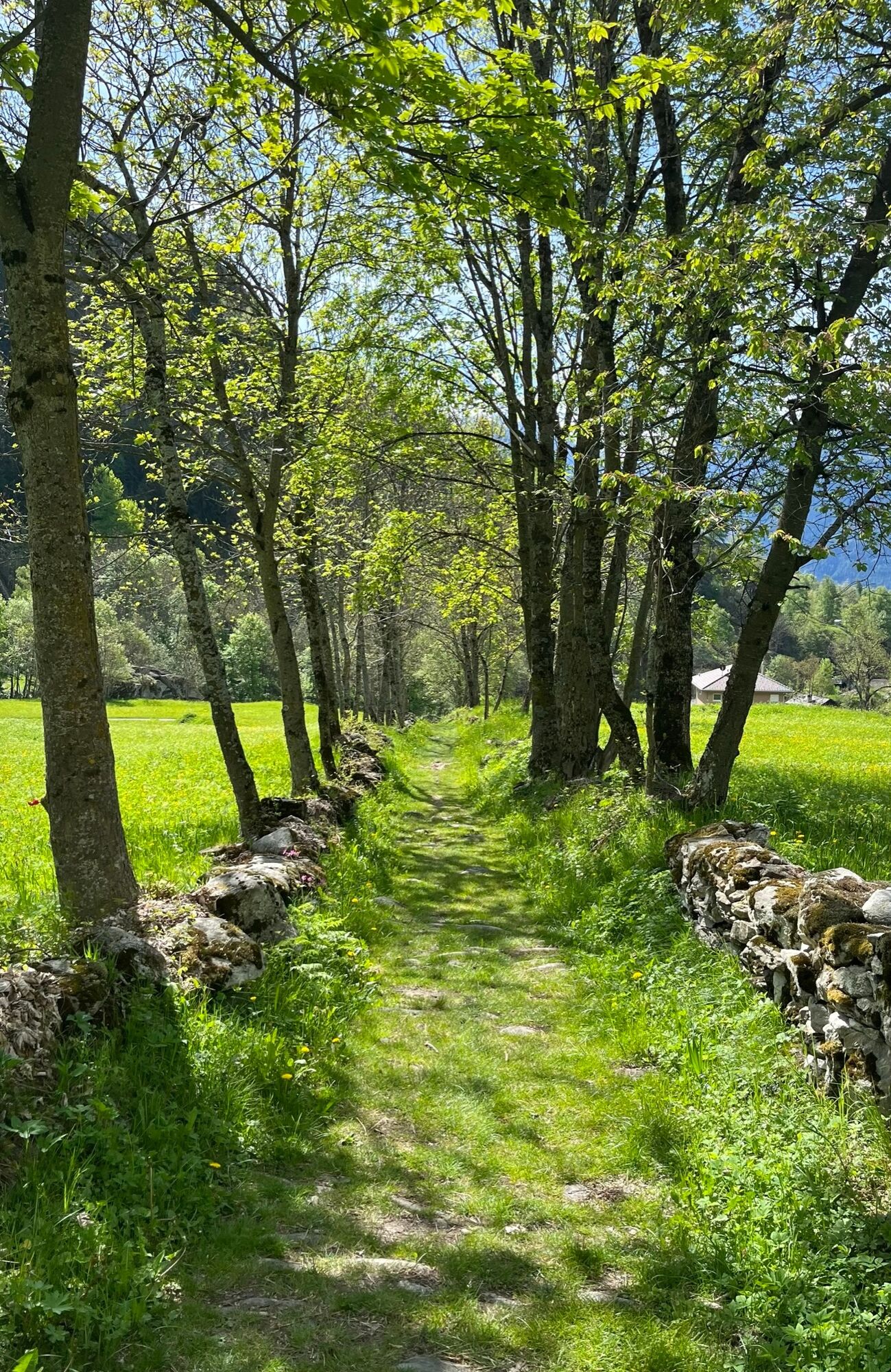
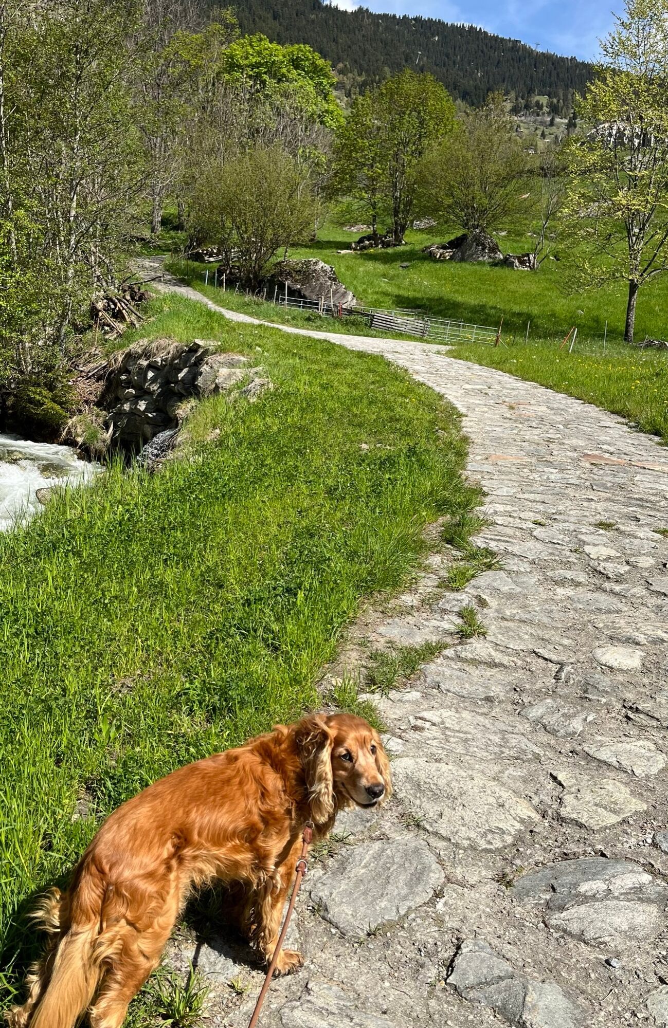
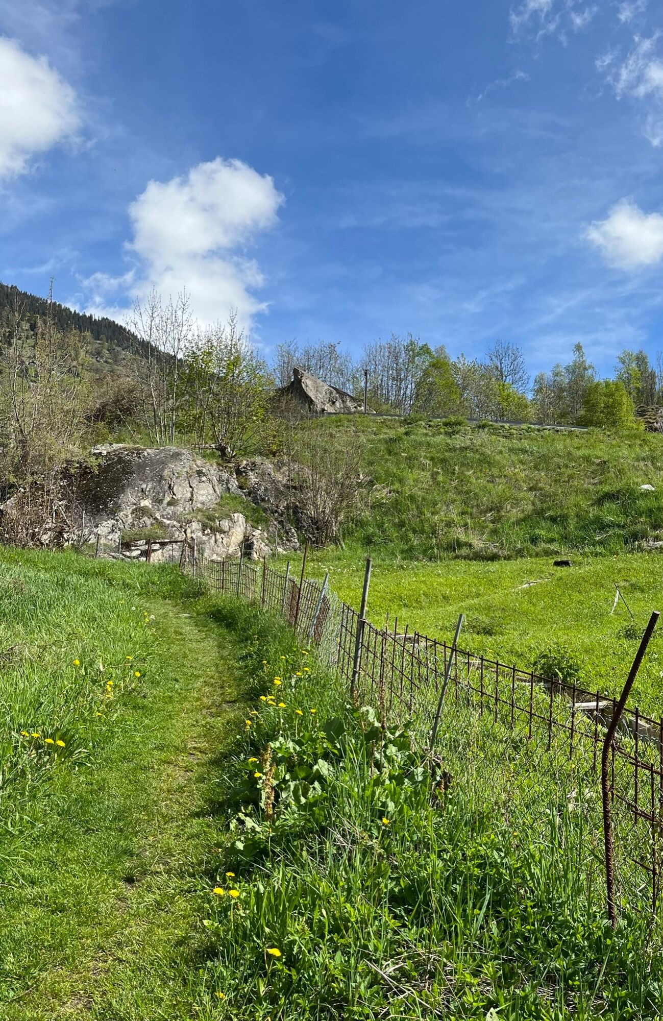
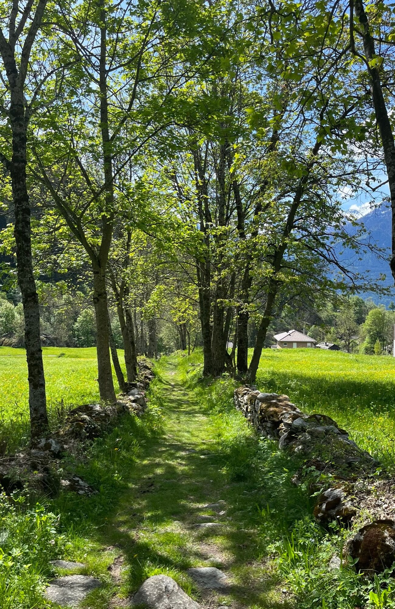
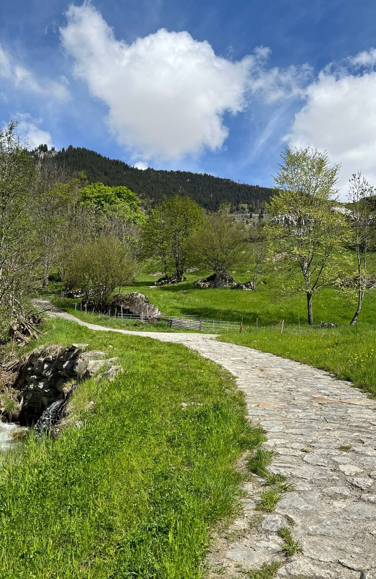
This hike starts in Naters and takes you along the historic road past dry stone walls and mule troughs up to Belalp, where you will be rewarded with a fantastic view of the Great Aletsch Glacier at the Aletschbord.
- Vaikeus
-
tapa
- Arviointi
-
- Reitti
-
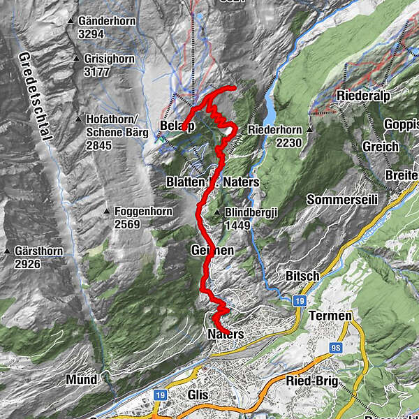
Brig (691 m)Naters (673 m)Kirche St. Mauritius0,1 kmWieri2,0 kmMoos2,2 kmGeimen3,3 kmMehlbaum3,8 kmTheodulskapelle5,2 kmBlatten b. Naters (1.327 m)5,3 kmBlatten (1.331 m)5,4 kmBelstar5,6 kmEgga7,6 kmHotel Belalp10,7 kmRestaurant Bergstation12,6 kmBelalp (2.094 m)12,6 km
- Paras kausi
-
tammihelmimaalishuhtitoukokesäheinäelosyyslokamarrasjoulu
- Korkein kohta
- 2.131 m
- Kohde
-
Belalp, Aletschbord
- Korkeusprofiili
-
 © outdooractive.com


-

-
KirjoittajaKiertue Historical road Naters - Belalp käyttää outdooractive.com toimitettu.
GPS Downloads


Yleistä tietoa
Virvokepysäkki
Kulttuuri/Historiallinen
Sisäpiirin vinkki
Lupaava
Lisää retkiä alueilla
-
Aletsch Arena
1487
-
Brig Simplon
484
-
Blatten-Belalp
184