© Valais/Wallis Promotion - Pascal Gertschen
© Valais/Wallis Promotion - Pascal Gertschen
© Valais/Wallis Promotion - Pascal Gertschen

© Valais/Wallis Promotion - Pascal Gertschen

- Lyhyt kuvaus
-
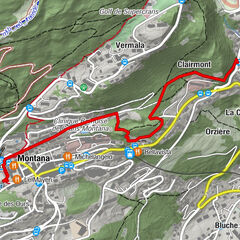
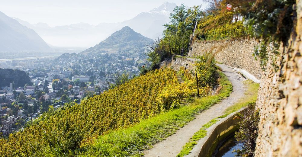
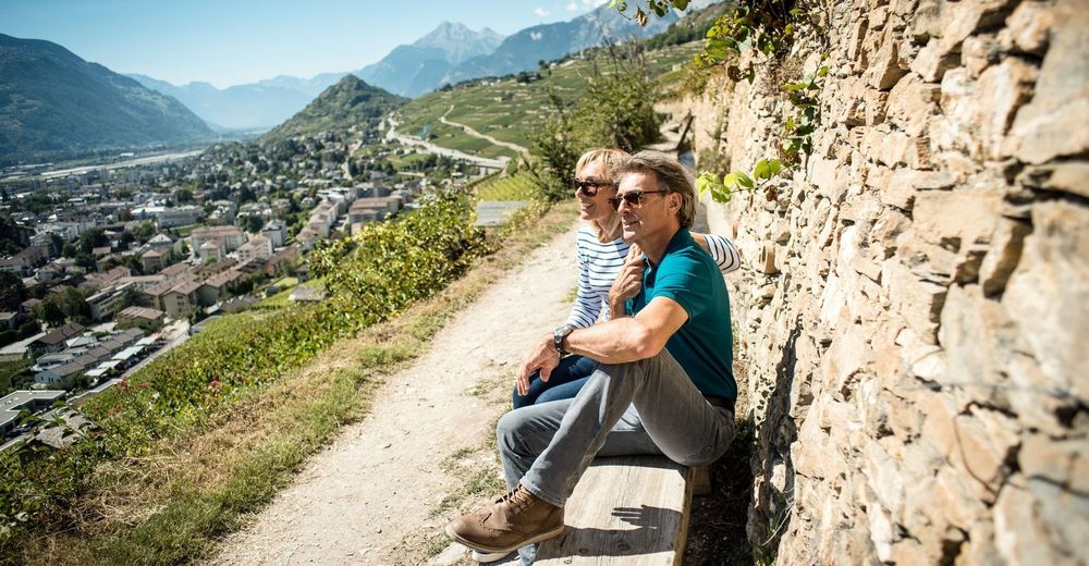
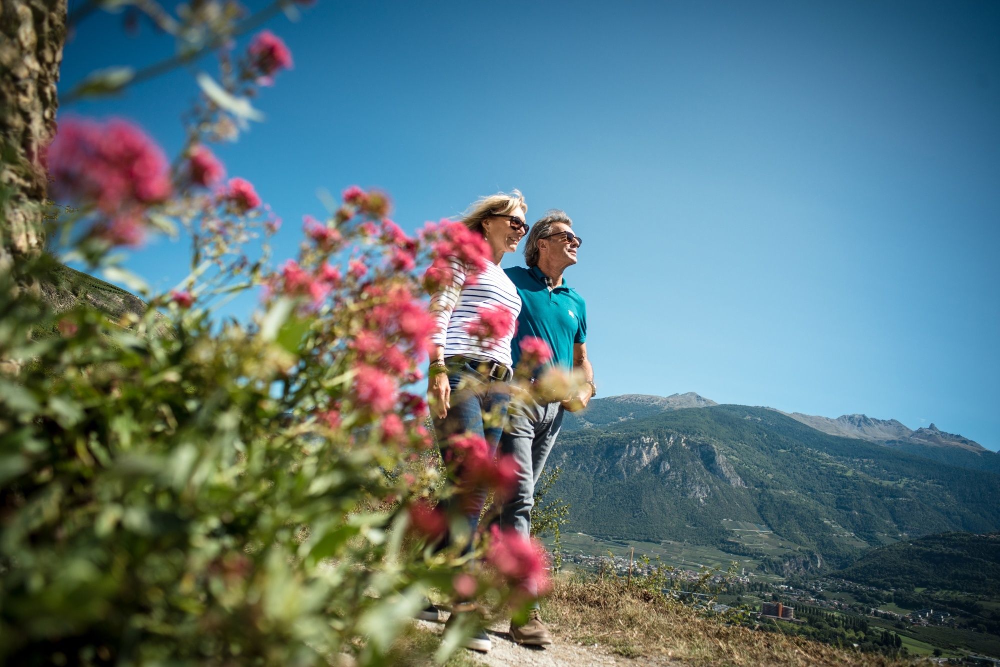
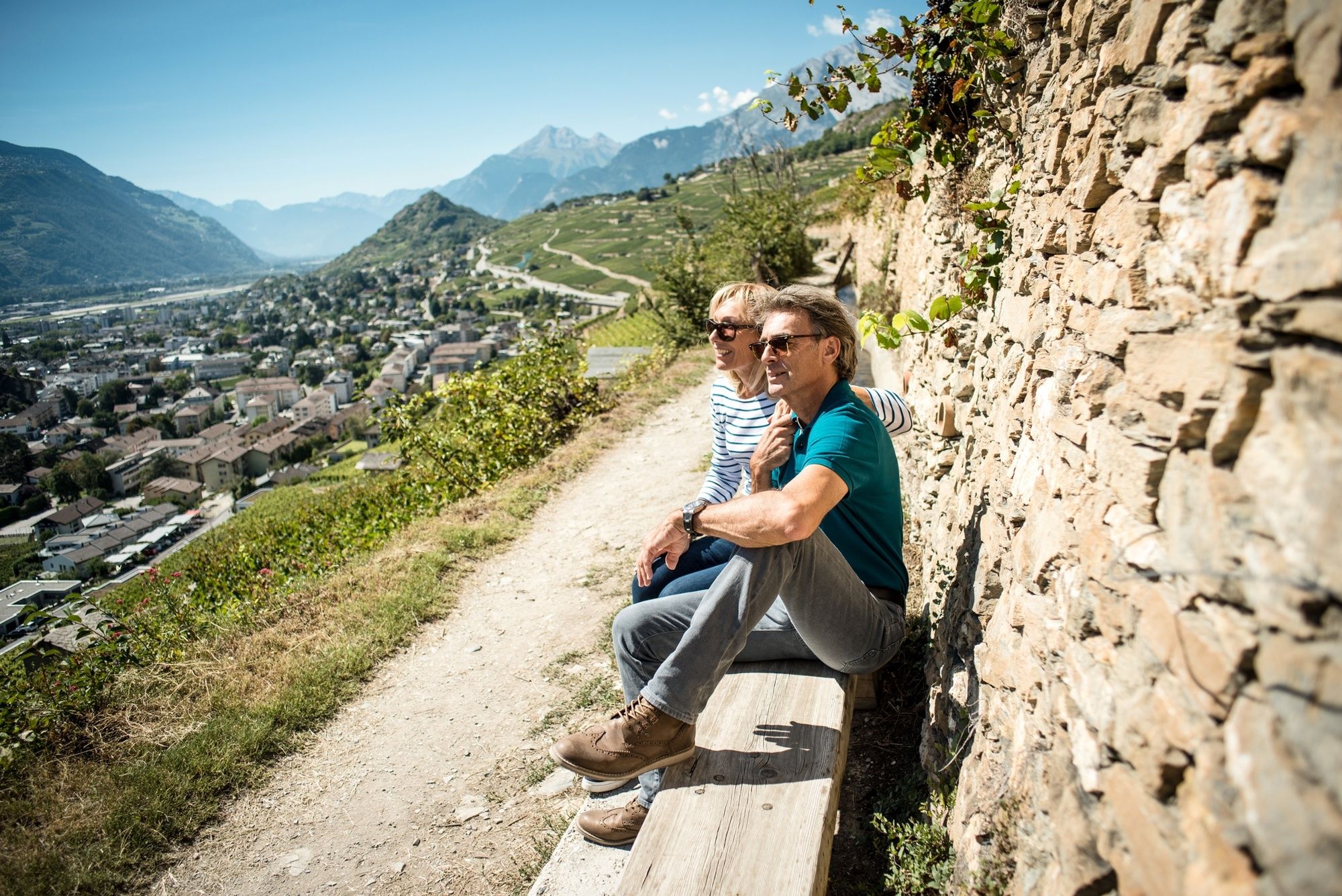
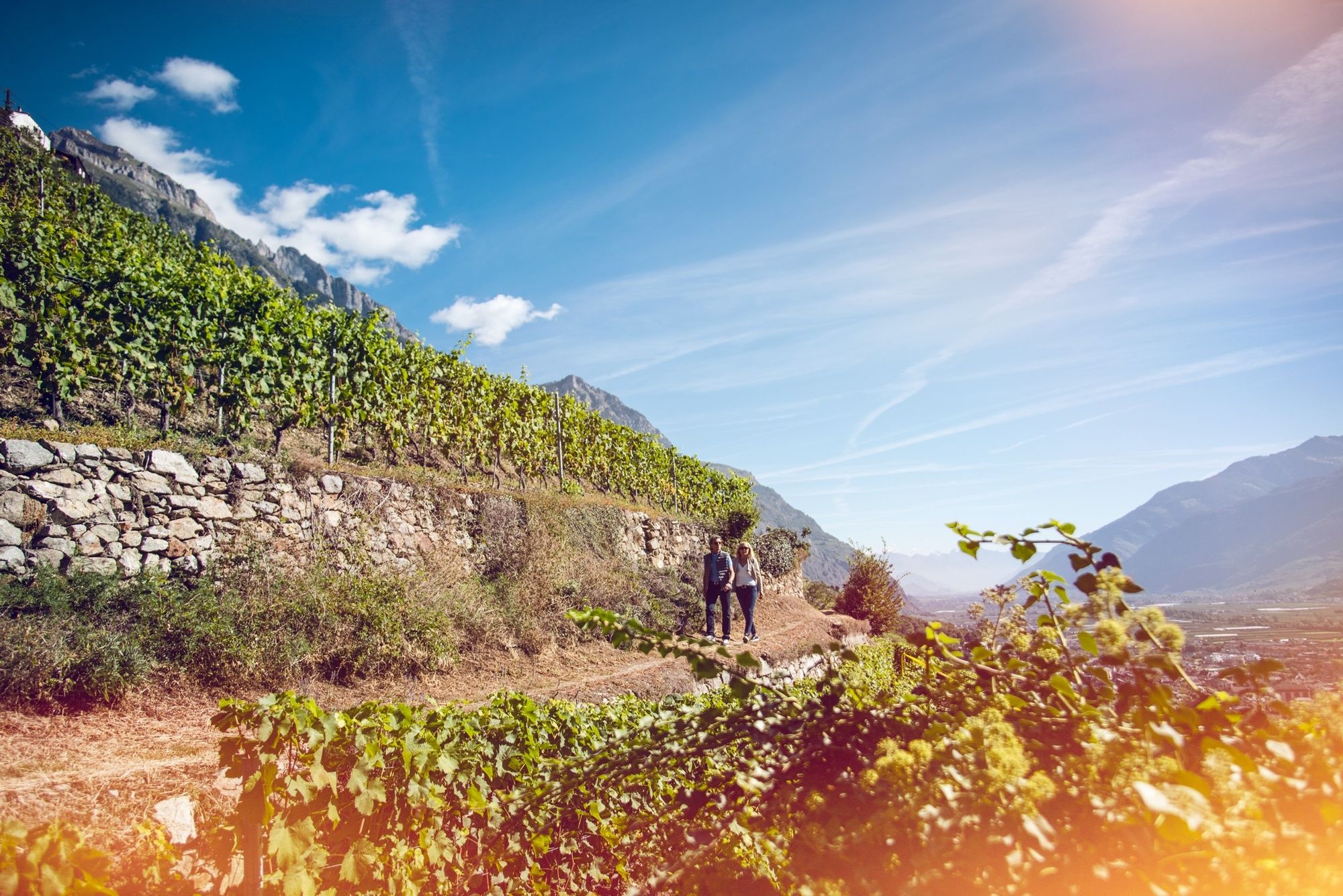
The third stage of the Chemin du Vignoble (“Vineyard Trail”) leads from Sion to near Sierre, along a scenic “bisse” irrigation channel and past charming vineyard restaurants.
- Vaikeus
-
tapa
- Arviointi
-
- Reitti
-
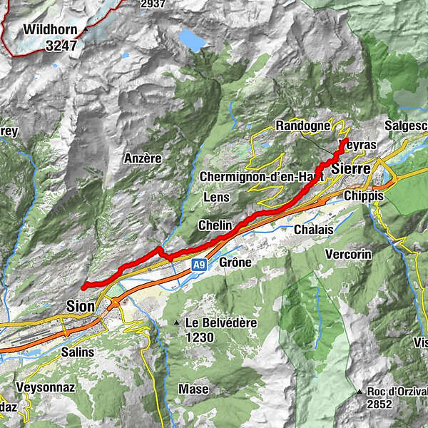
Sitten (515 m)Molignon3,0 kmSignèse (Ayent)4,1 kmUvrier5,6 kmSaint-Léonard (498 m)6,1 kmUnderground lake6,6 kmChelin (756 m)8,7 kmVaas9,5 kmSaint-Clément10,1 kmCondémines10,6 kmPetit-Ollon11,3 kmOllon VS11,7 kmChampzabé13,3 kmNoës14,0 kmCorin-de-la-Crête14,2 kmLoc15,6 kmSiders (533 m)17,1 kmVenthen (799 m)18,5 km
- Paras kausi
-
tammihelmimaalishuhtitoukokesäheinäelosyyslokamarrasjoulu
- Korkein kohta
- 812 m
- Kohde
-
Venthône (arrêt de bus Village)
- Korkeusprofiili
-
 © outdooractive.com

-

-
KirjoittajaKiertue Chemin du Vignoble: Sion to Venthône (stage 3) käyttää outdooractive.com toimitettu.
GPS Downloads


Yleistä tietoa
Virvokepysäkki
Kulttuuri/Historiallinen
Lupaava
Lisää retkiä alueilla
-
Thyon les Collons
1431
-
Mont-Noble / Nax
761
-
Lens
217