
Retkitiedot
9,74km
1.676
- 2.516m
151hm
03:30h
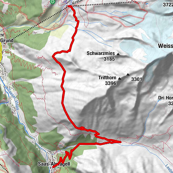
- Arviointi
-
- Lähtöpiste
-
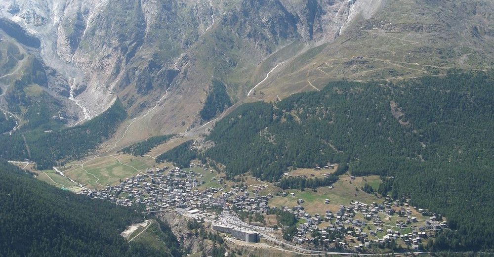
Saas-Grund / Saas-Almagell
- Reitti
-
Kreuzboden (2.405 m)0,0 kmAlmagelleralp6,5 kmSaas-Almagell9,6 km
- Korkein kohta
- 2.516 m
- Lepo/Retriitti
-
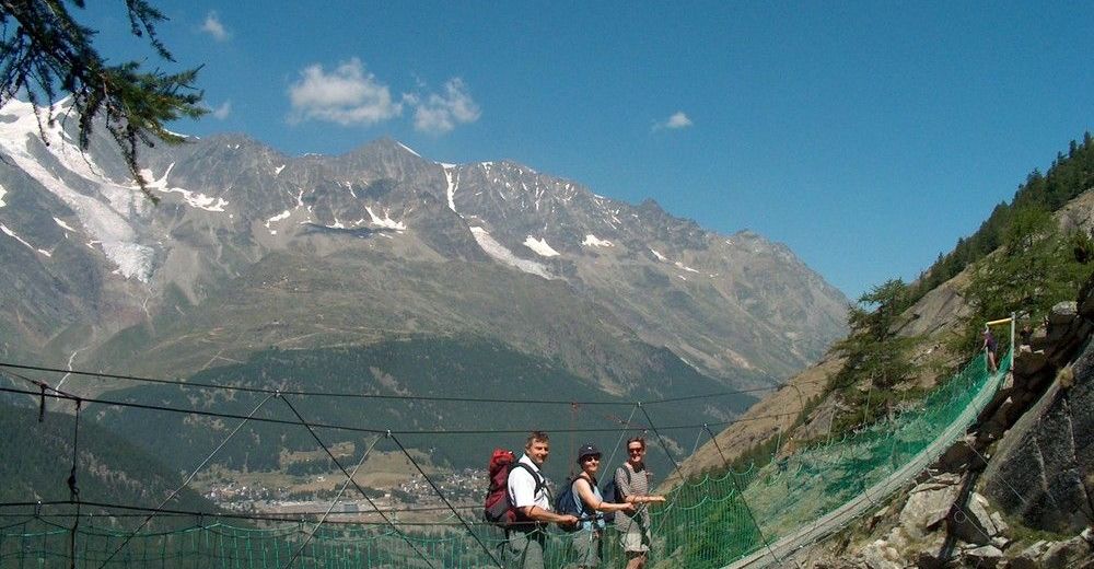
Auf dem Kreuzboden und bei der Almagelleralp.

GPS Downloads


Polun olosuhteet
Asfaltti
Sora
Niitty
Metsä
Kallio
Altistettu
Lisää retkiä alueilla
-
Aletsch Arena
1471
-
Saastal
484
-
Saas-Almagell
96
")


