

© Pascal Gertschen - Zermatt Tourismus

© Pascal Gertschen - Zermatt Tourismus

© Kurt Müller - Zermatt Tourismus

- Lyhyt kuvaus
-
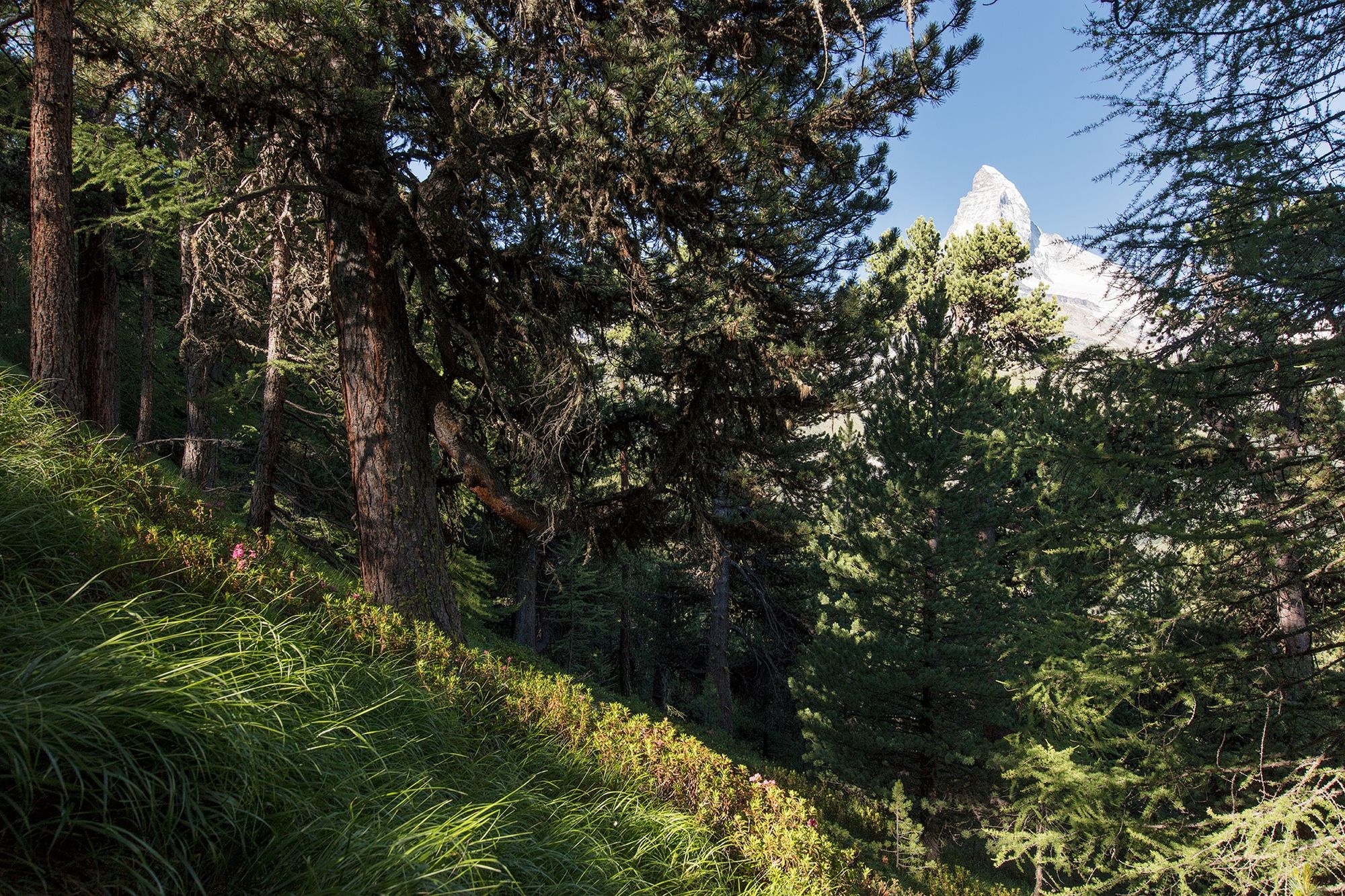
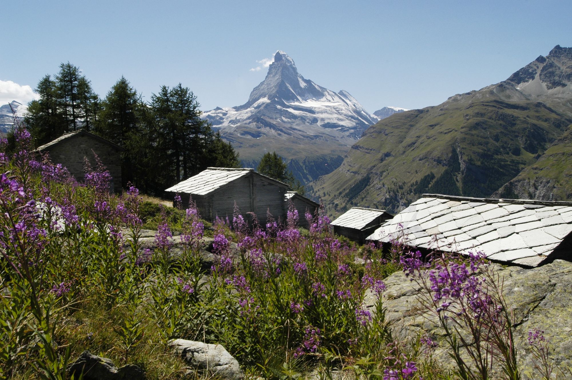
The path traces a leisurely zig-zag through the mixed larch forest. The trees provide shade but also offer frequent views to the horizon. Around Ried, the vista opens up dramatically to reveal the resplendent Matterhorn.
- Vaikeus
-
tapa
- Arviointi
-
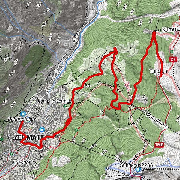
- Reitti
-
Tufteren (2.215 m)0,0 kmTufternhütte (2.216 m)0,0 kmOthmar’s Skihütte2,8 kmZermatt (1.608 m)6,1 km
- Paras kausi
-
tammihelmimaalishuhtitoukokesäheinäelosyyslokamarrasjoulu
- Korkein kohta
- 2.192 m
- Kohde
-
Zermatt (1,620 m)
- Korkeusprofiili
-
 © outdooractive.com
- Kirjoittaja
-
Kiertue Zermatt Forest Trail (Nr. 12) käyttää outdooractive.com toimitettu.
GPS Downloads


Yleistä tietoa
Virvokepysäkki
Flora
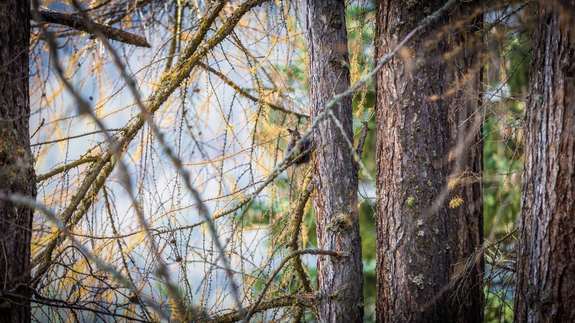
Fauna
Lupaava
Lisää retkiä alueilla
-
Oberwallis
1877
-
Mattertal
555
-
Zermatt
154


")
