

© Stéphanie Marie-Couson - Zermatt Tourismus

© Zermatt - Matterhorn - Zermatt Tourismus

© Zermatt - Matterhorn - Zermatt Tourismus

© Zermatt Tourismus - Richi Lehner

© Zermatt - Matterhorn - Zermatt Tourismus

© Zermatt Tourismus - Richi Lehner

© Zermatt - Matterhorn - Zermatt Tourismus

© Fabienne Schaller - Zermatt Tourismus


- Lyhyt kuvaus
-
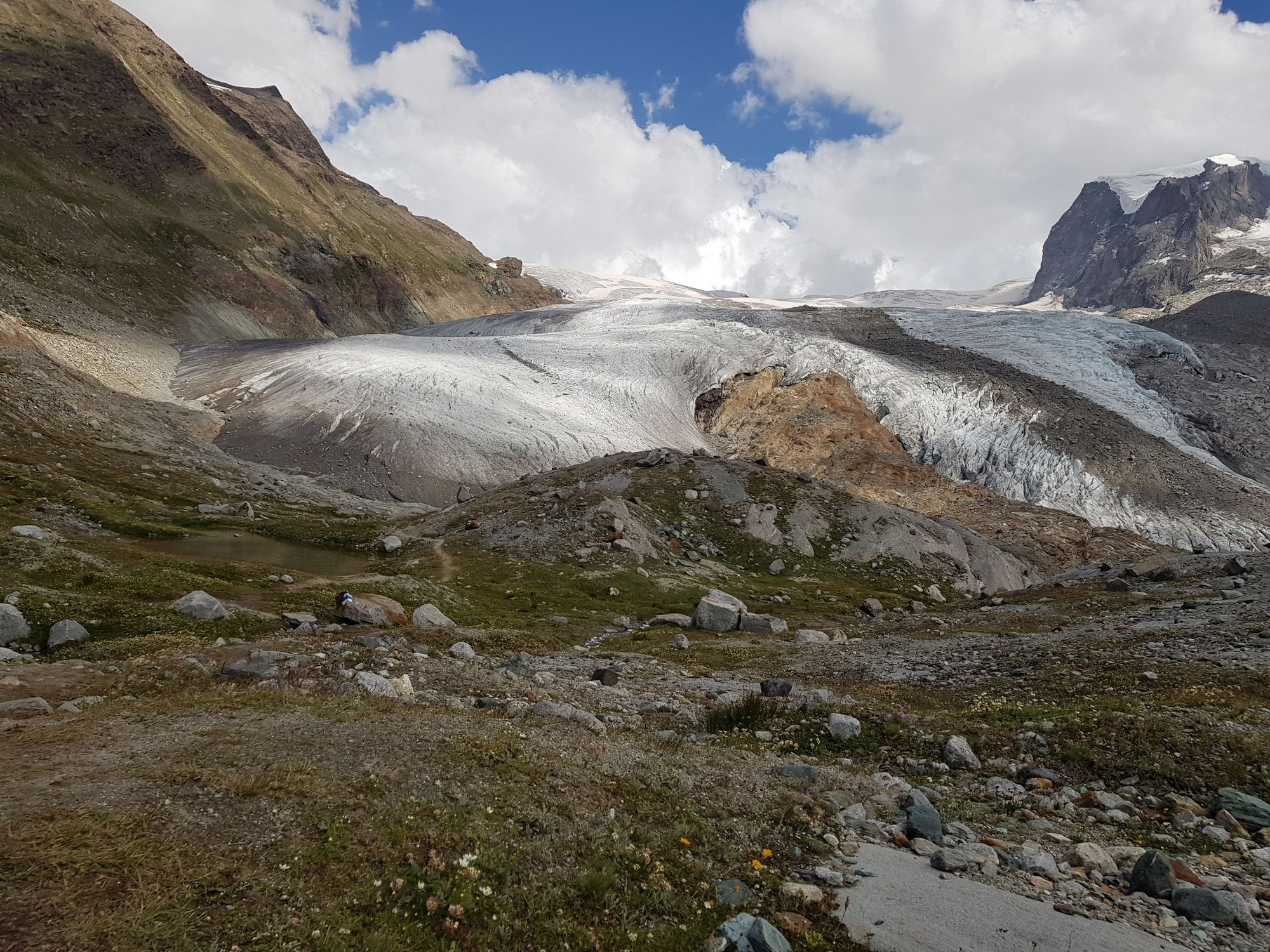
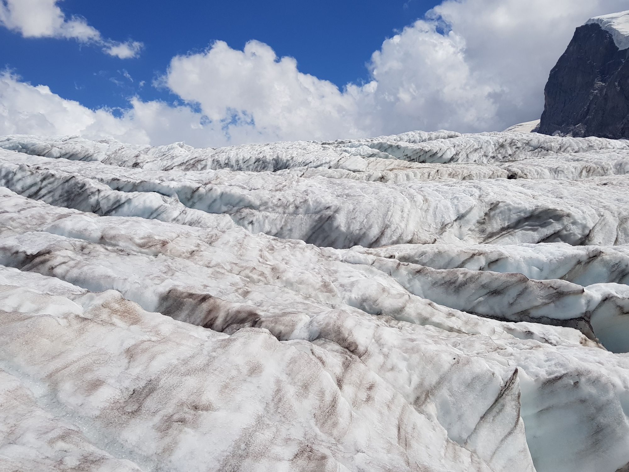
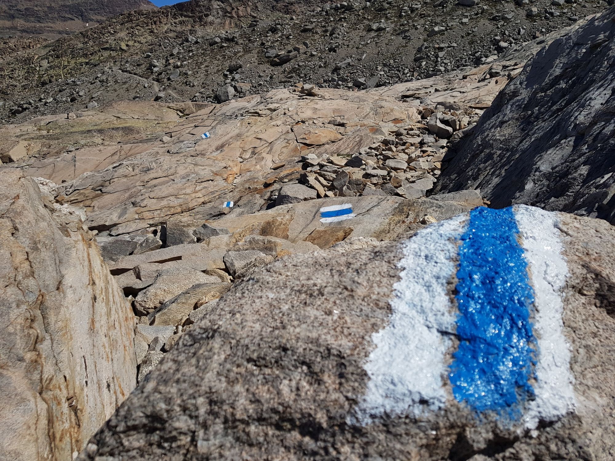
Glacier trekking to the Monte Rosa hut is a unique experience. Instead of a standard hiking trail, the route leads you over glaciers and moraines.
- Vaikeus
-
vaikea
- Arviointi
-
- Reitti
-
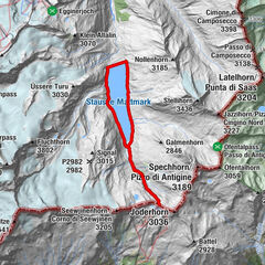
Rotenboden (2.819 m)Monte Rosa Hütte (2.883 m)8,0 km
- Paras kausi
-
tammihelmimaalishuhtitoukokesäheinäelosyyslokamarrasjoulu
- Korkein kohta
- 2.899 m
- Kohde
-
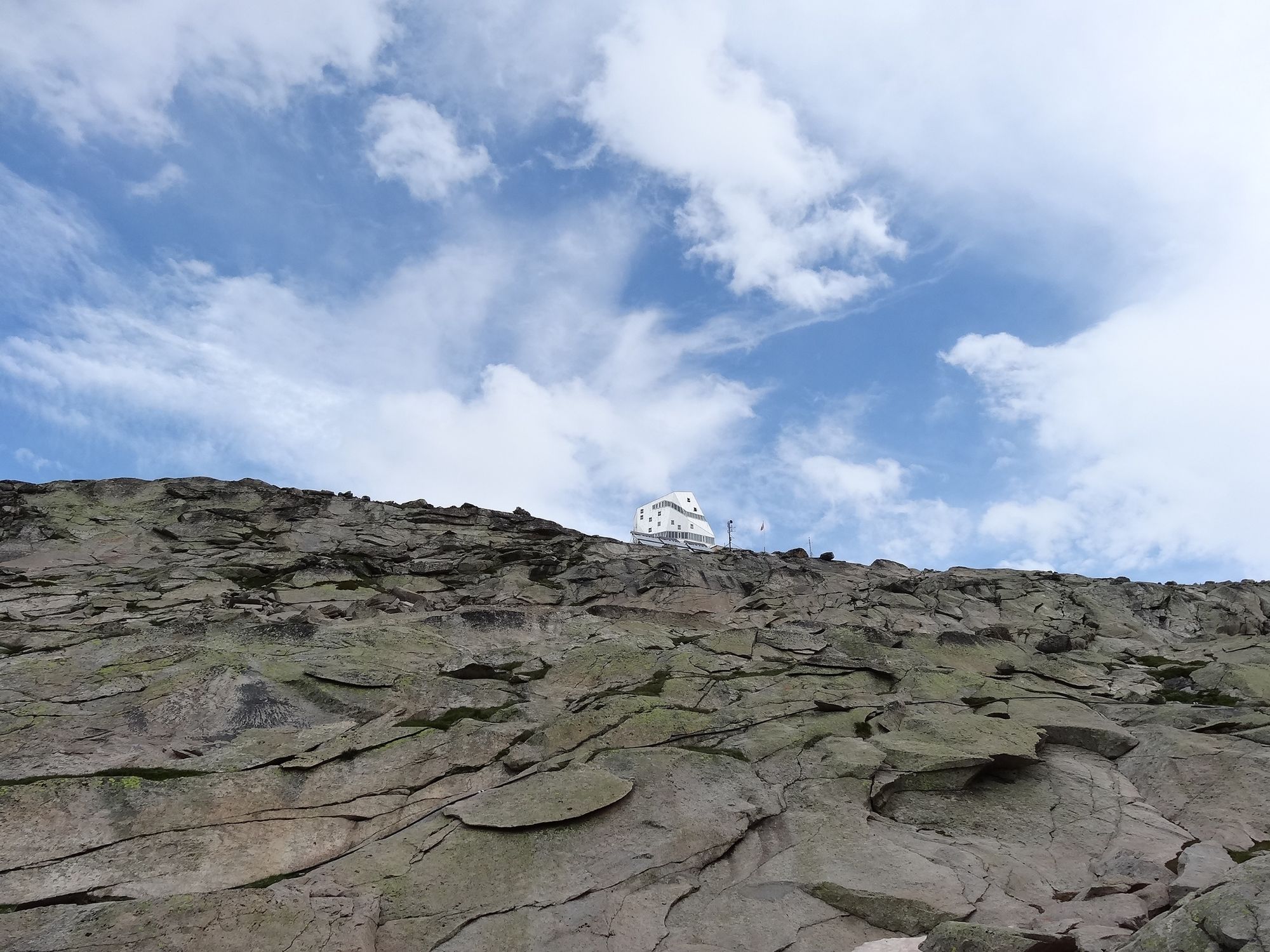
Monte Rosa Hut (2,883 m)
- Korkeusprofiili
-
 © outdooractive.com


- Kirjoittaja
-
Kiertue Glacier trek to the Monte Rosa Hut (Nr. 21a) käyttää outdooractive.com toimitettu.
GPS Downloads


Yleistä tietoa
Virvokepysäkki
Flora
Fauna
Lupaava
Lisää retkiä alueilla
-
Unterwallis
1196
-
Mattertal
555
-
Zermatt
154


")


