- Lyhyt kuvaus
-
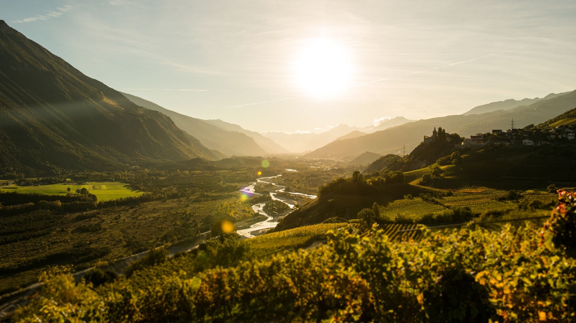
Located in the heart of the Valais, the nature park Pfyn-Finges is nestled in a small area between the Rhone and its gravel islands, torrid steppes, dry pine forests, a floodplain forest with a tropical atmosphere, ponds and meadows.
- Vaikeus
-
tapa
- Arviointi
-
- Reitti
-
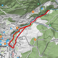
Siders (533 m)Église St. Catherine0,2 kmGlarey0,8 kmBuvette Milljeran5,1 kmSusten (630 m)11,3 kmLeuk (623 m)11,6 km
- Paras kausi
-
tammihelmimaalishuhtitoukokesäheinäelosyyslokamarrasjoulu
- Korkein kohta
- 631 m
- Kohde
-
Train station Leuk/Susten
- Korkeusprofiili
-
 © outdooractive.com


-

-
KirjoittajaKiertue Crossing the Pfyn Forest käyttää outdooractive.com toimitettu.
GPS Downloads


Yleistä tietoa
Parantava ilmasto
Flora
Fauna
Lisää retkiä alueilla
-
Oberwallis
1877
-
Leuk/Leukerbad
1033
-
Salgesch
284