© Tourismusagentur Ostbelgien - E. Miglbauer

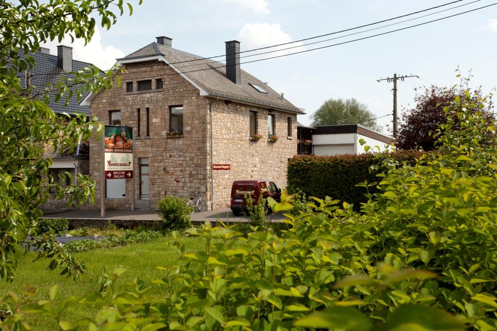
© Tourismusagentur Ostbelgien - Montenauer Schinkenräucherei

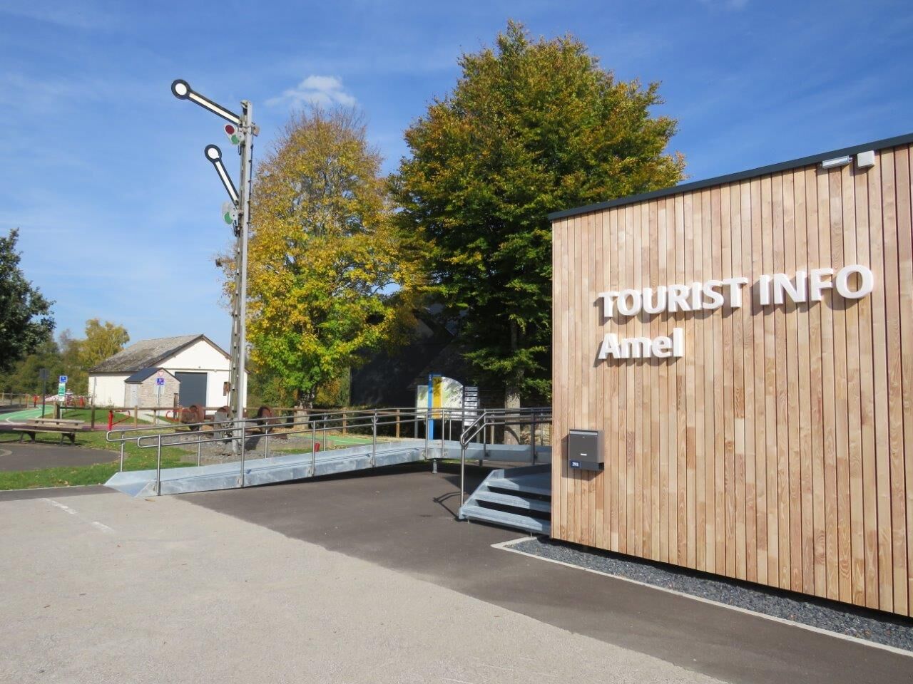
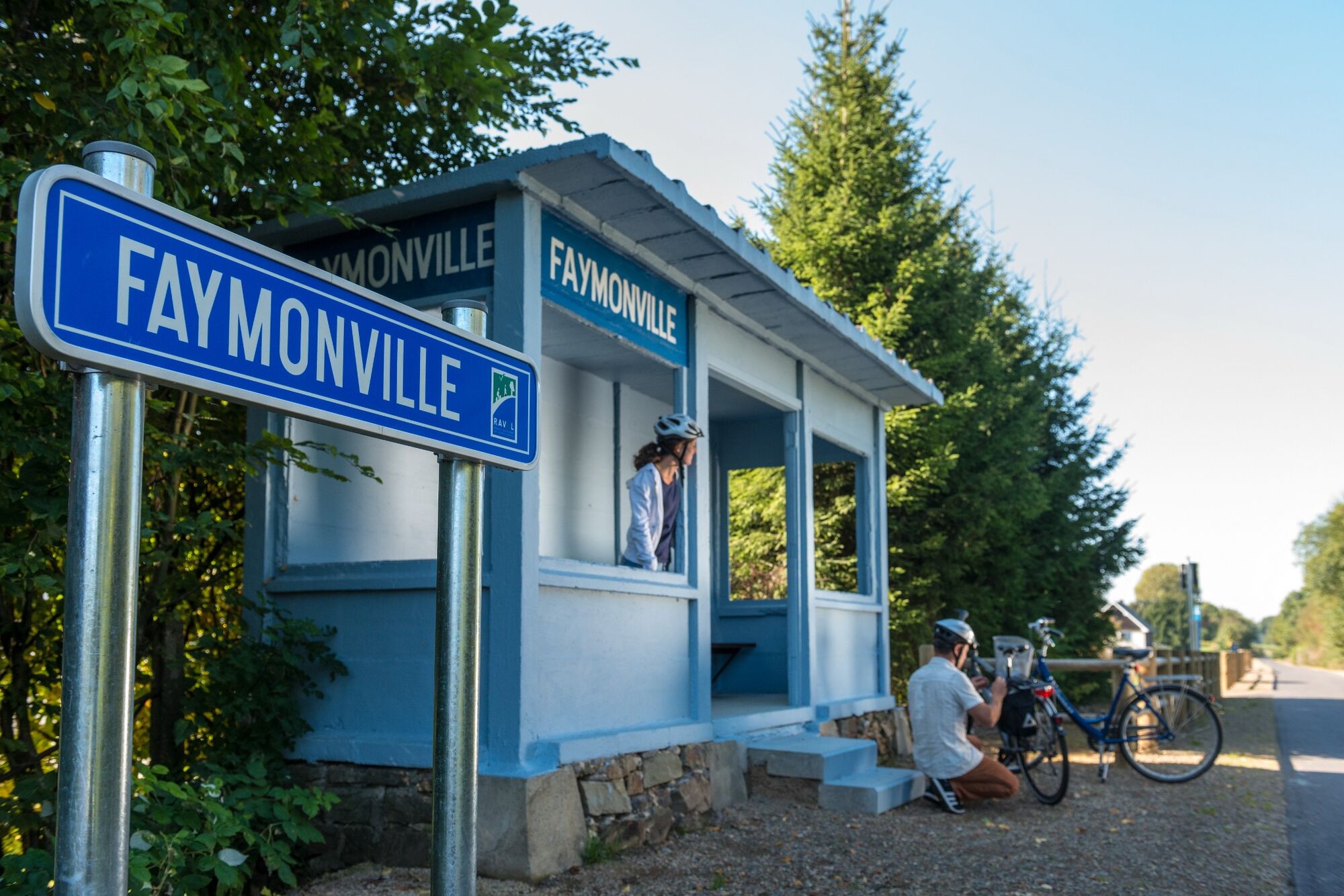
© Tourismusagentur Ostbelgien - TI Amel

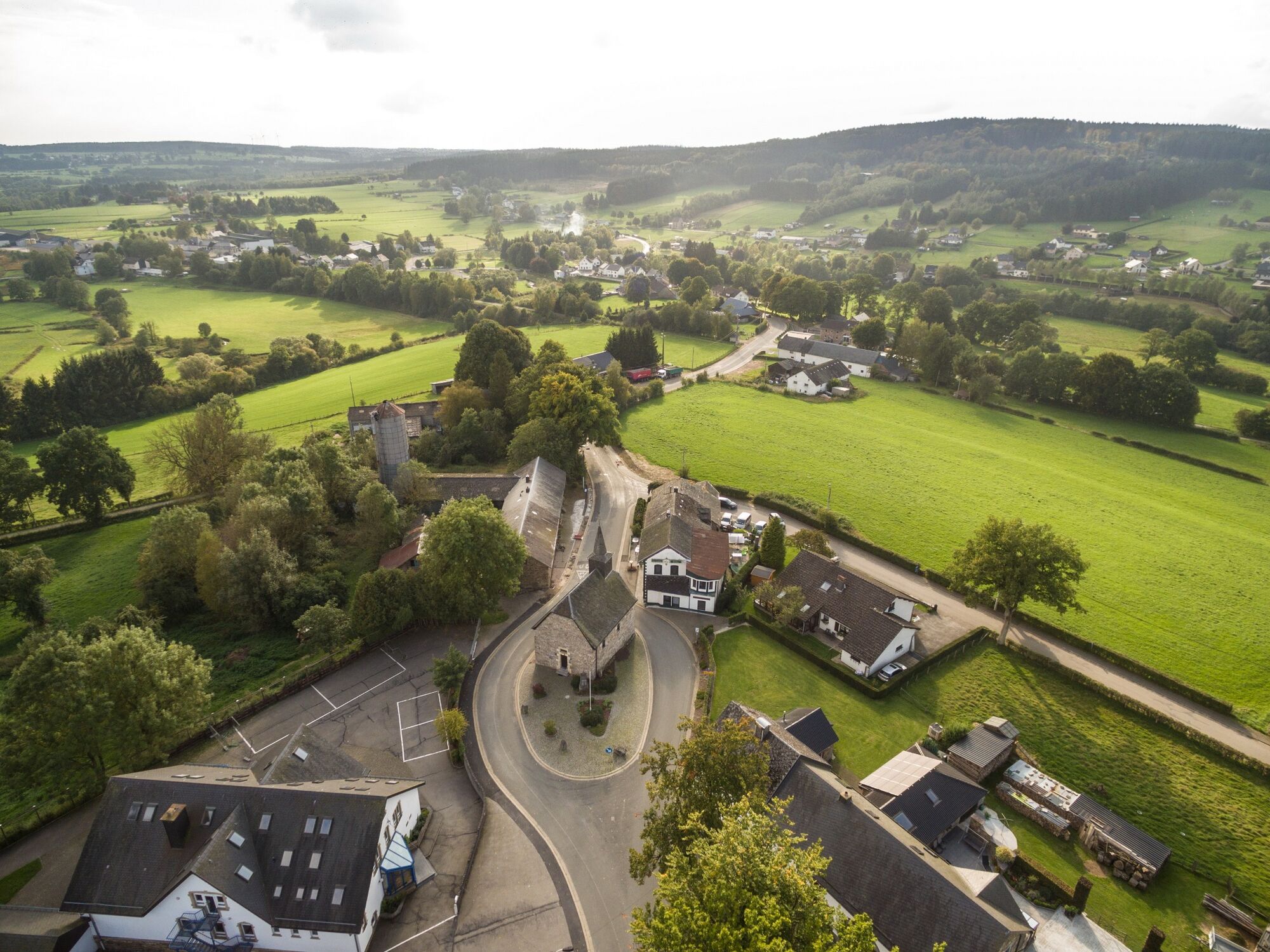
© Tourismusagentur Ostbelgien - Dominik Ketz

© Tourismusagentur Ostbelgien - Dominik Ketz

© Tourismusagentur Ostbelgien - Dominik Ketz

© Tourismusagentur Ostbelgien - ostbelgien.eu

© Tourismusagentur Ostbelgien - Dominik Ketz

© Tourismusagentur Ostbelgien - Guy Raskin

© Tourismusagentur Ostbelgien - Dominik Ketz

- Lyhyt kuvaus
-
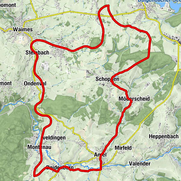
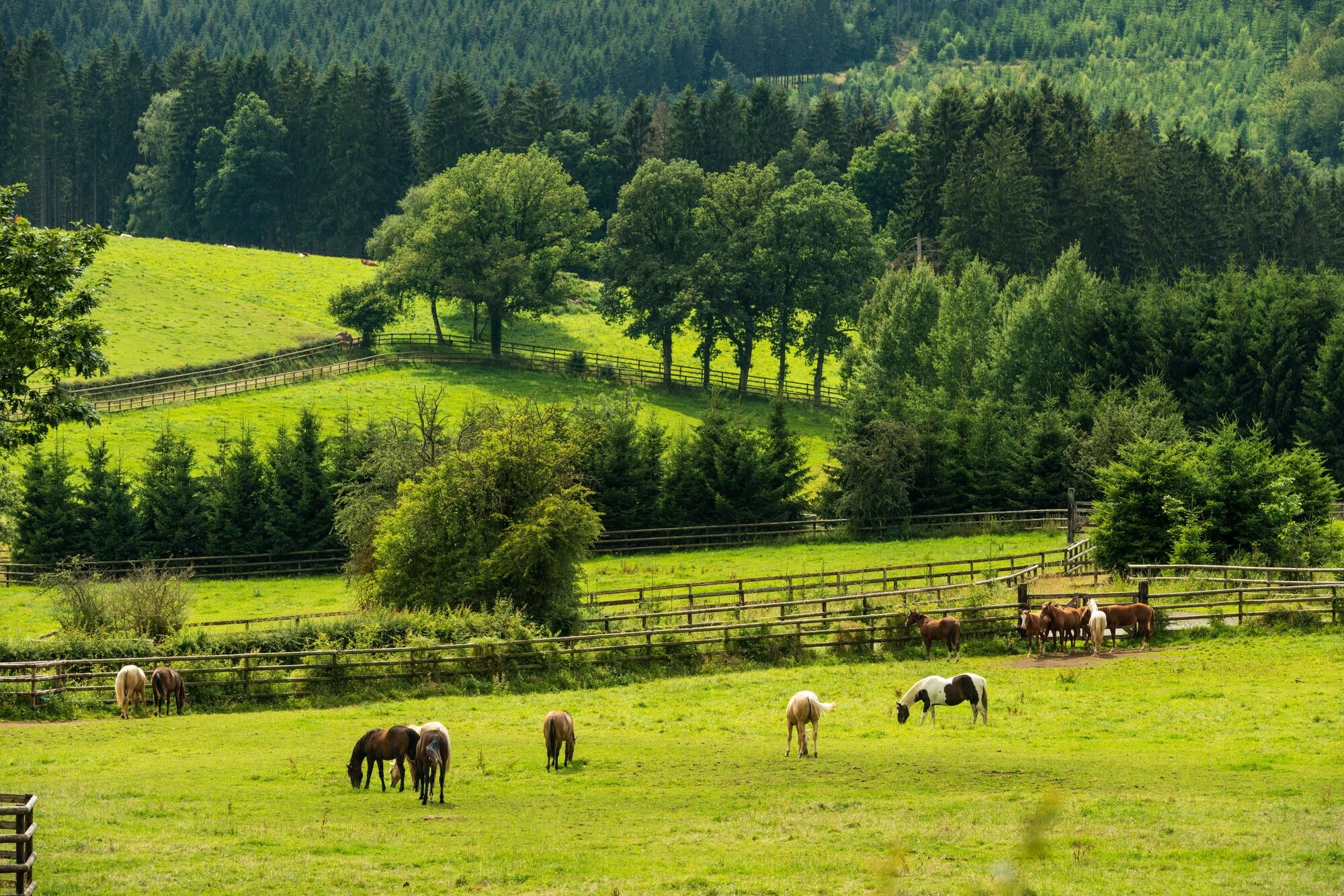
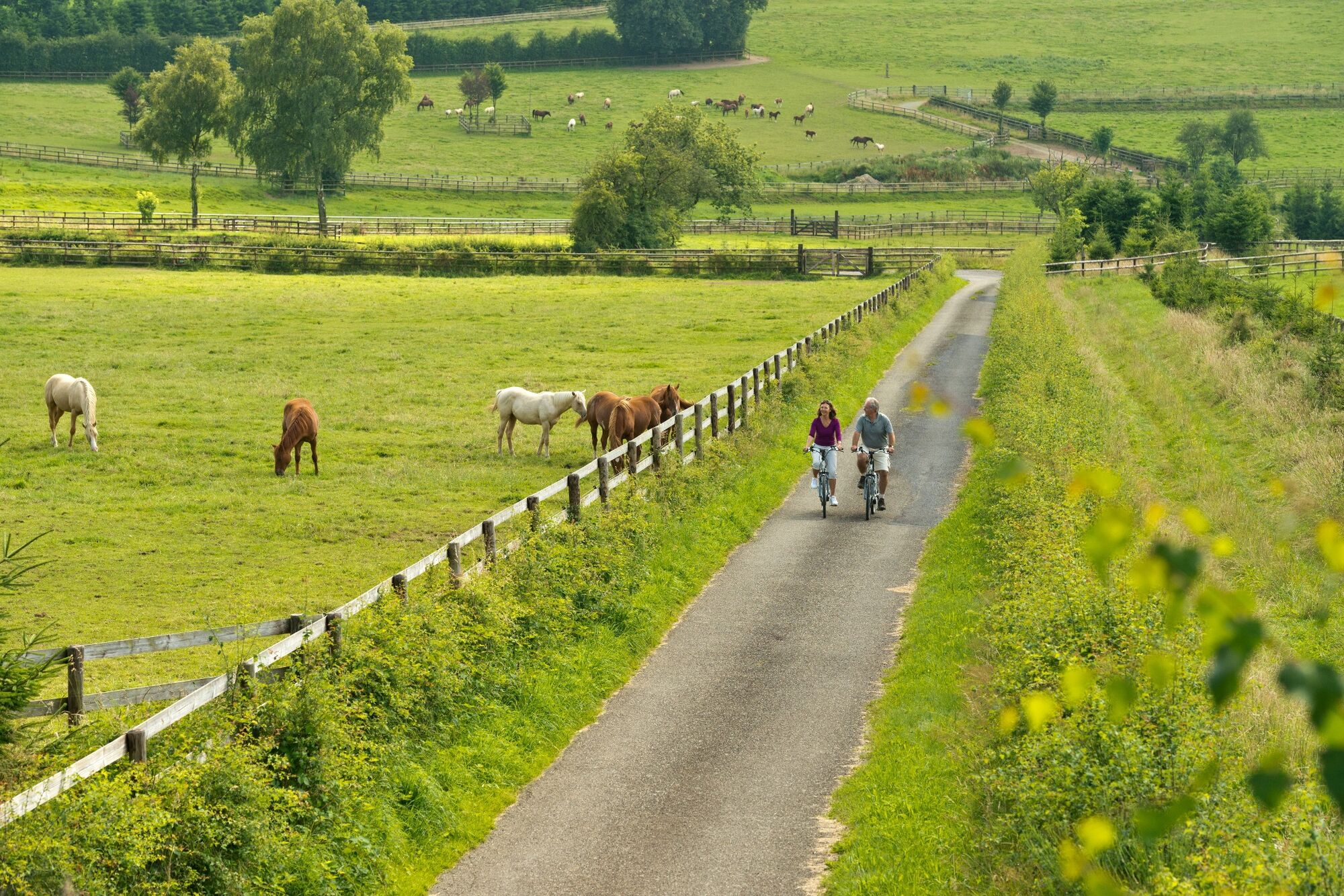
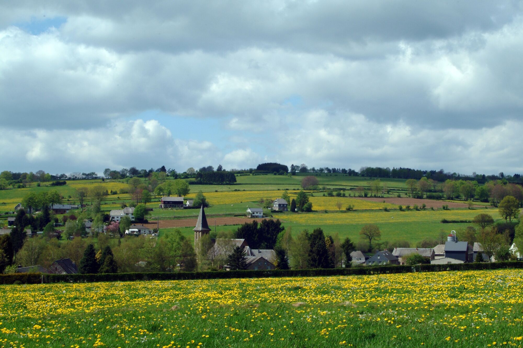
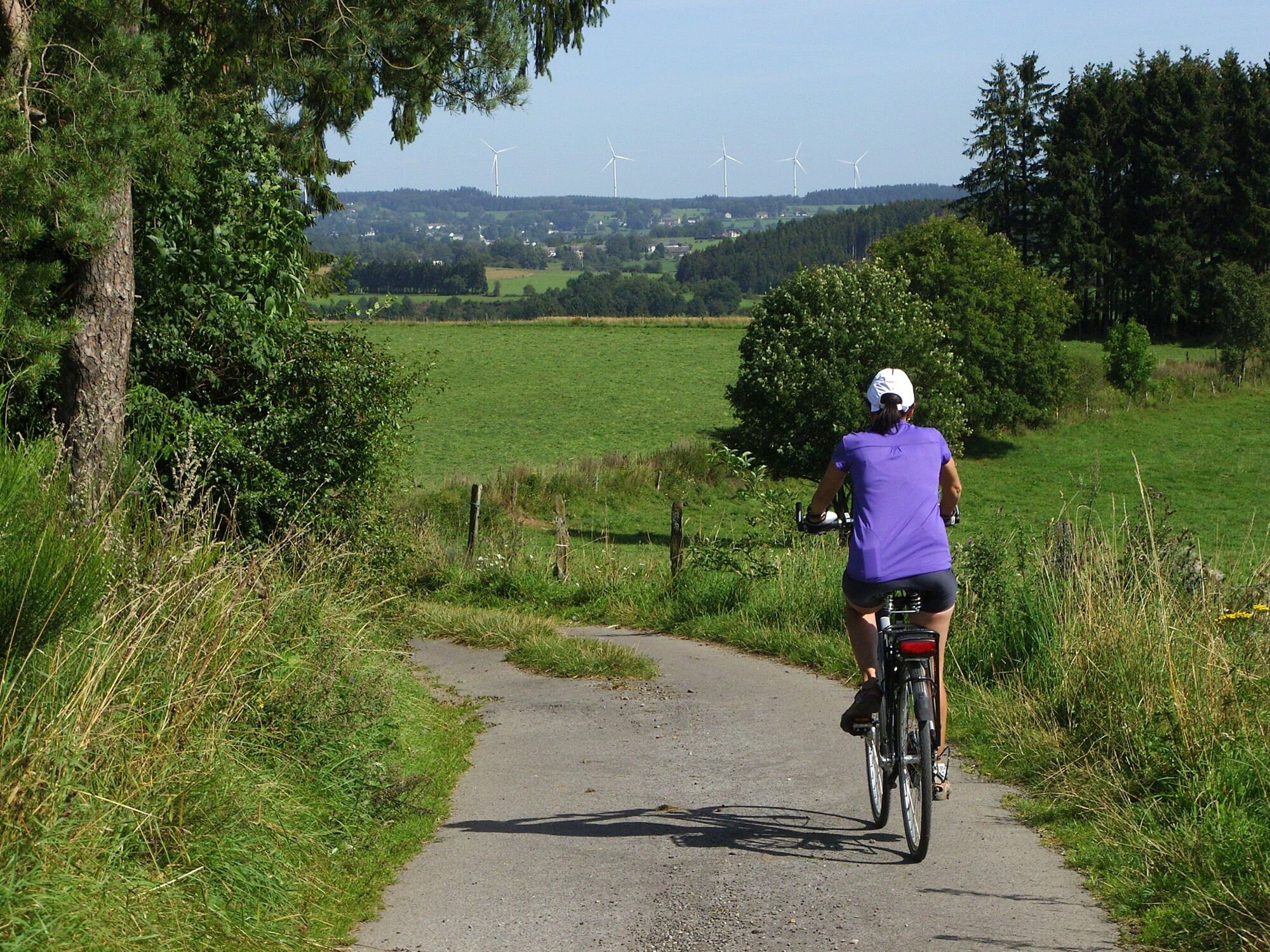
Half the tour runs along the Vennbahn, which is closed to motorised vehicles and winds its way in an elegant curve between the source regions of the Amel and the Warchenne. The open countryside with many valleys is occasionally dotted with little pieces of woodland.
- Vaikeus
-
tapa
- Arviointi
-
- Reitti
-
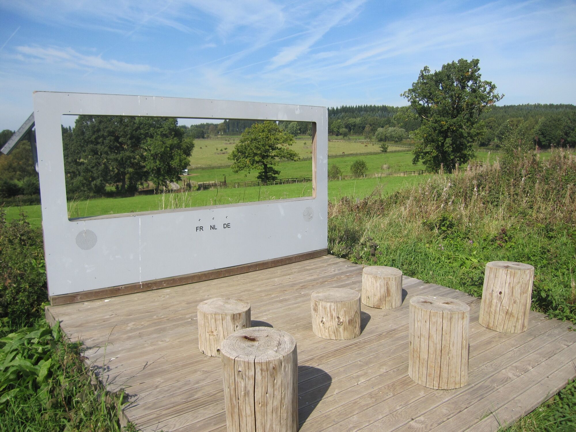
Außenborn0,9 kmSchoppen12,7 kmKapelle Möderscheid14,5 kmMöderscheid14,5 kmAmel18,0 kmSankt Hubertuskirche18,1 kmAmel Mitte18,1 kmFriture Peters18,7 kmDeidenberg21,2 kmMontenau24,5 kmPicknick and info-TV26,1 kmNiedersteinbach29,0 kmRemonval30,2 kmSteinbach30,5 km
- Paras kausi
-
tammihelmimaalishuhtitoukokesäheinäelosyyslokamarrasjoulu
- Korkein kohta
- 589 m
- Kohde
-
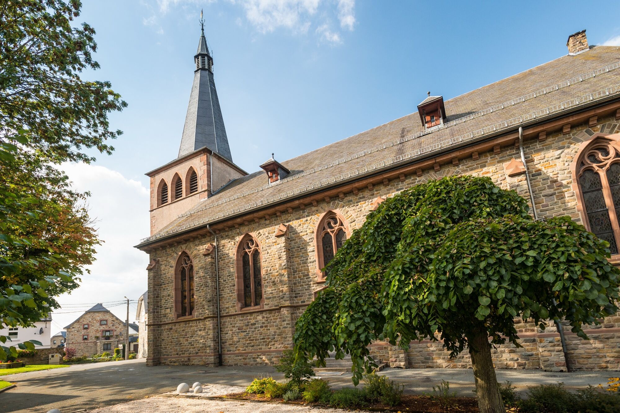
Weismes, Rue de la Gare 91
- Korkeusprofiili
-
 © outdooractive.com
- Kirjoittaja
-
Kiertue Ovelo - Between the Amel and Warchenne käyttää outdooractive.com toimitettu.
GPS Downloads


Lisää retkiä alueilla
-
Eifel/ Rheinland-Pfalz
83
-
Hohes Venn
36
-
Weismes
7