Ovelo - The High Fens in the eastern part of the Hertogenwald


© Tourismusagentur Ostbelgien - Dominik Ketz

© Tourismusagentur Ostbelgien - Dominik Ketz

© Tourismusagentur Ostbelgien - Dominik Ketz

© Tourismusagentur Ostbelgien - Christian Charlier

© Tourismusagentur Ostbelgien - Dominik Ketz

© Tourismusagentur Ostbelgien - Dominik Ketz

© Tourismusagentur Ostbelgien - Dominik Ketz

© Tourismusagentur Ostbelgien - Dominik Ketz

© Tourismusagentur Ostbelgien - Dominik Ketz

© Tourismusagentur Ostbelgien - Dominik Ketz

- Lyhyt kuvaus
-
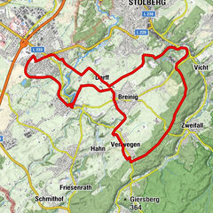
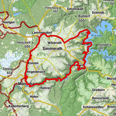
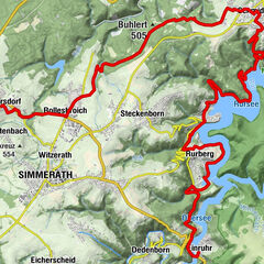
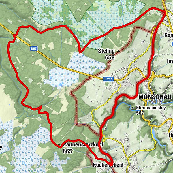
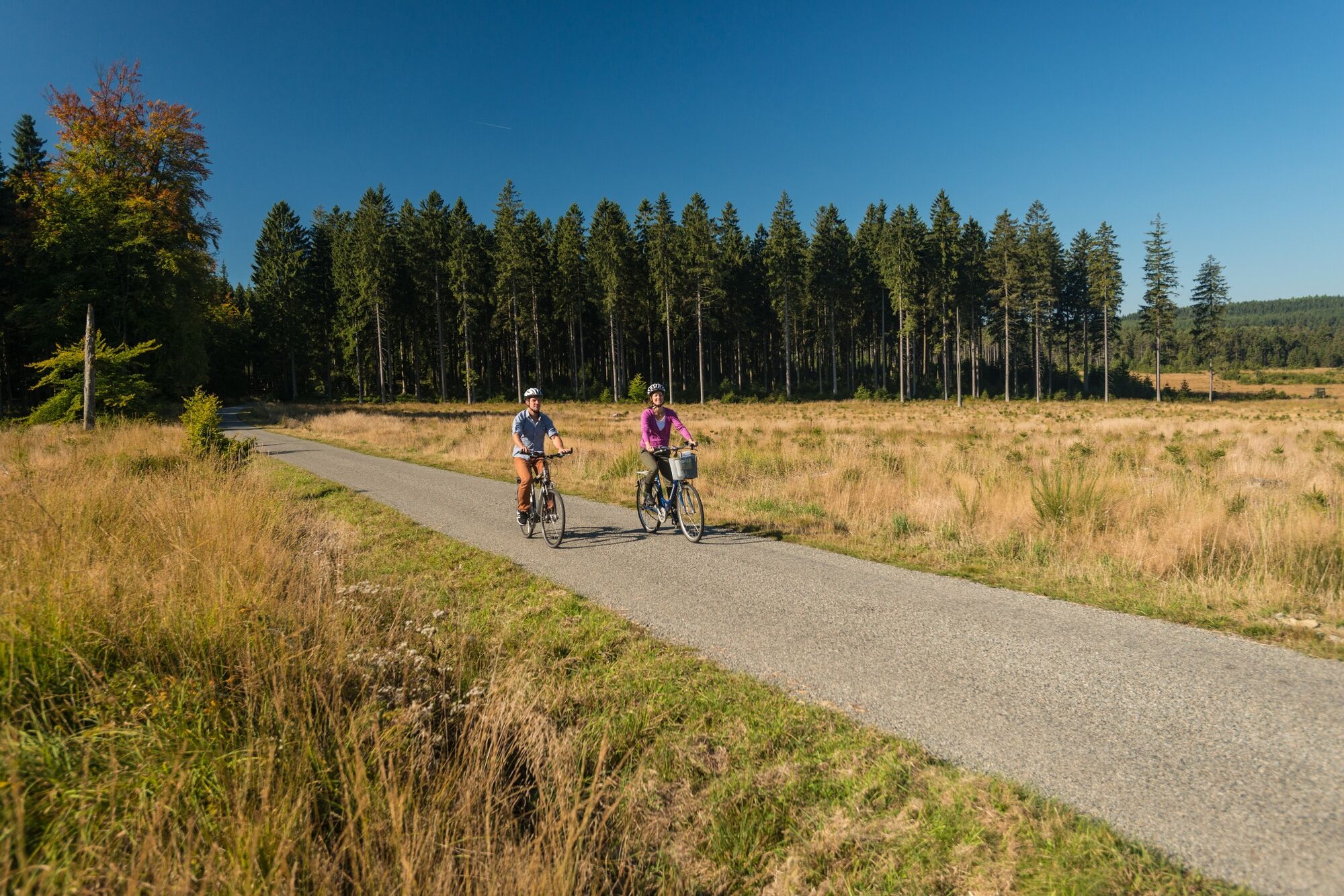
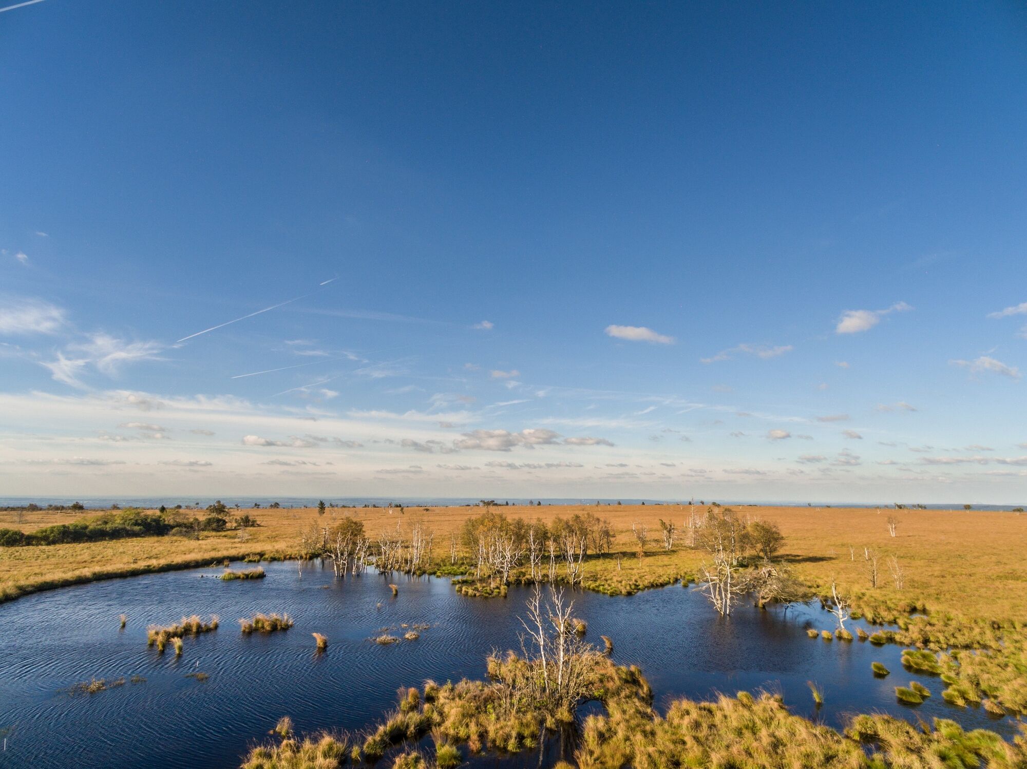
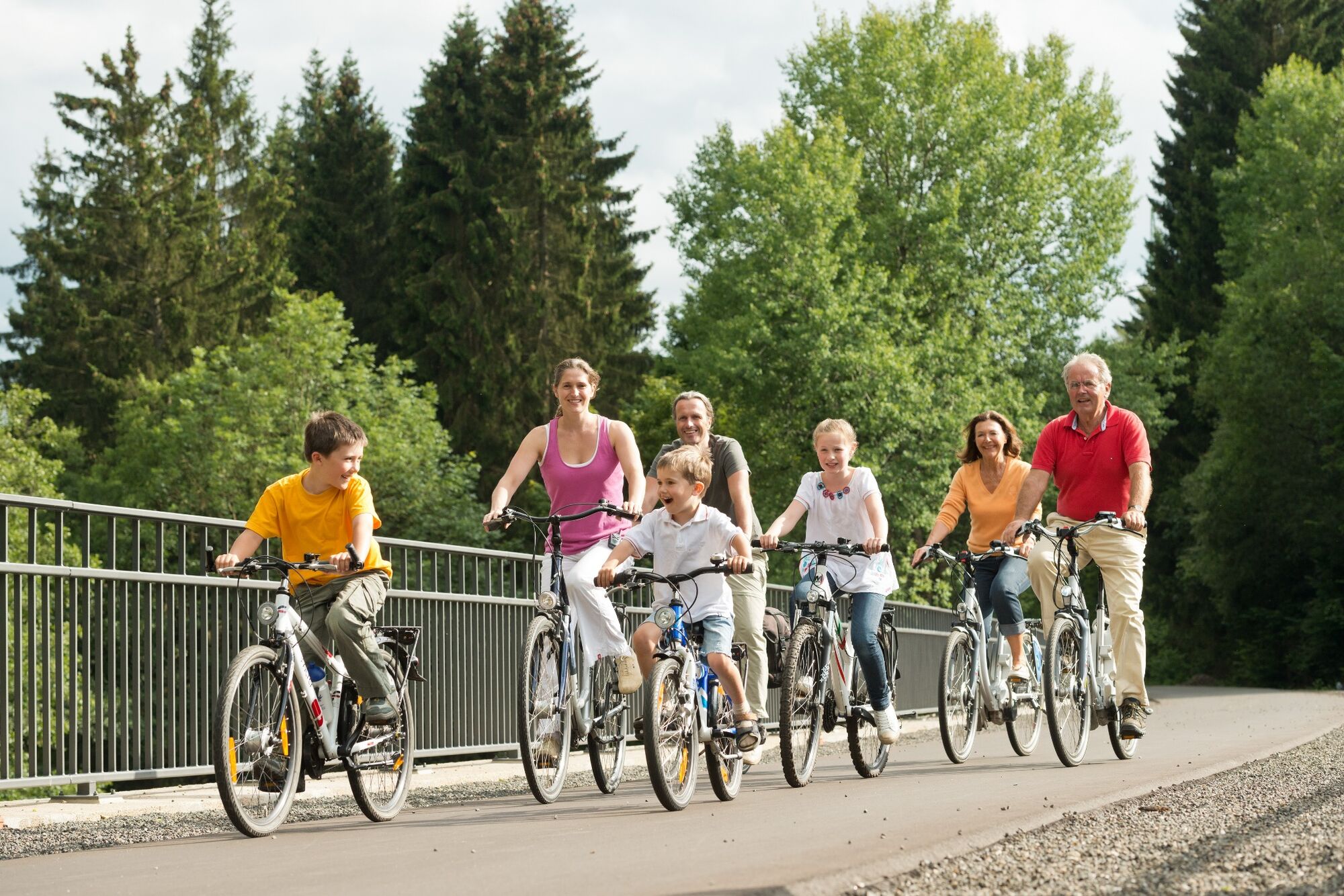
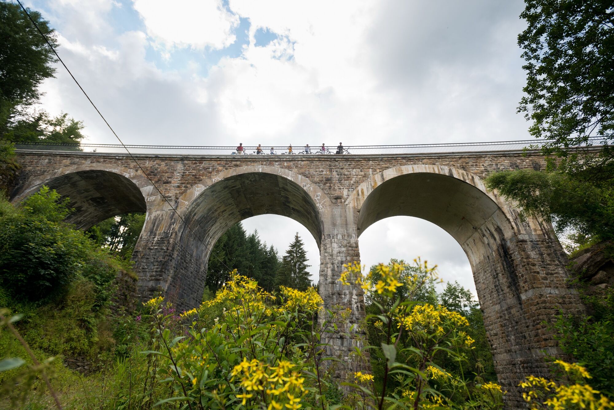
Almost 40% of the route follows the Vennbahn itself, affording an unexpected panoramic view of the valley across the German Eifel-Ardennes region. You cycle through dense forests and along the untouched peatland of the High Fens.
- Vaikeus
-
tapa
- Arviointi
-
- Reitti
-
KüchelscheidMölle Wech2,0 kmMonschau5,6 kmLauscherbüchel (508 m)6,4 kmEntenpfuhl10,8 kmSandkuhle14,2 kmVerbrannte Brücke17,8 kmTernell's21,3 kmTernell21,6 kmDie alten Fichten22,3 kmPannensterzkopf (665 m)30,5 kmRuitzhof33,3 kmKüchelscheid34,5 km
- Paras kausi
-
tammihelmimaalishuhtitoukokesäheinäelosyyslokamarrasjoulu
- Korkein kohta
- 654 m
- Kohde
-
Küchelscheid, Am Breitenbach 35, next to node 38
- Korkeusprofiili
-
 © outdooractive.com


- Kirjoittaja
-
Kiertue Ovelo - The High Fens in the eastern part of the Hertogenwald käyttää outdooractive.com toimitettu.
GPS Downloads


Lisää retkiä alueilla
-
Eifel & Aachen
87
-
Hohes Venn
36
-
Monschau
18