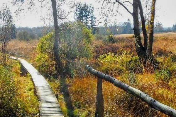
© Tourismusagentur Ostbelgien - Willi Filz

© Tourismusagentur Ostbelgien - Via Gulia

© Tourismusagentur Ostbelgien - Martin Roehn

© Tourismusagentur Ostbelgien - Hahnbueck

- Lyhyt kuvaus
-
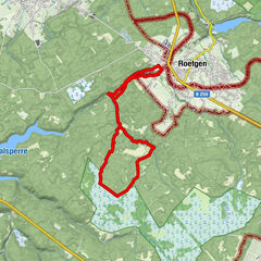
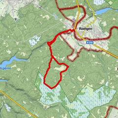
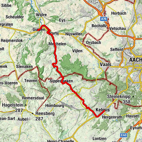
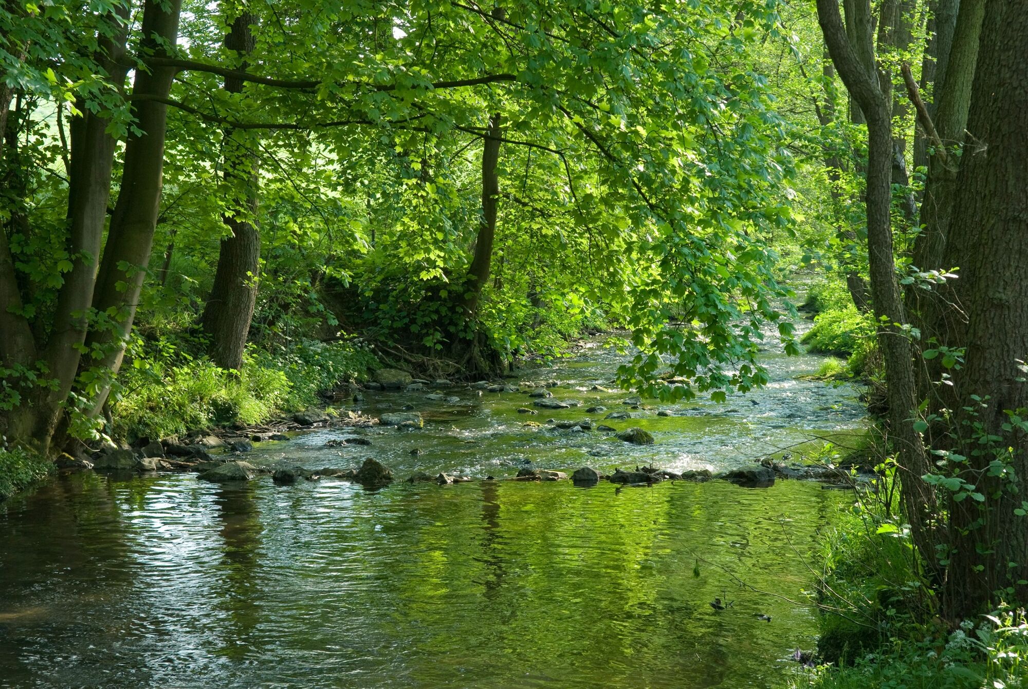
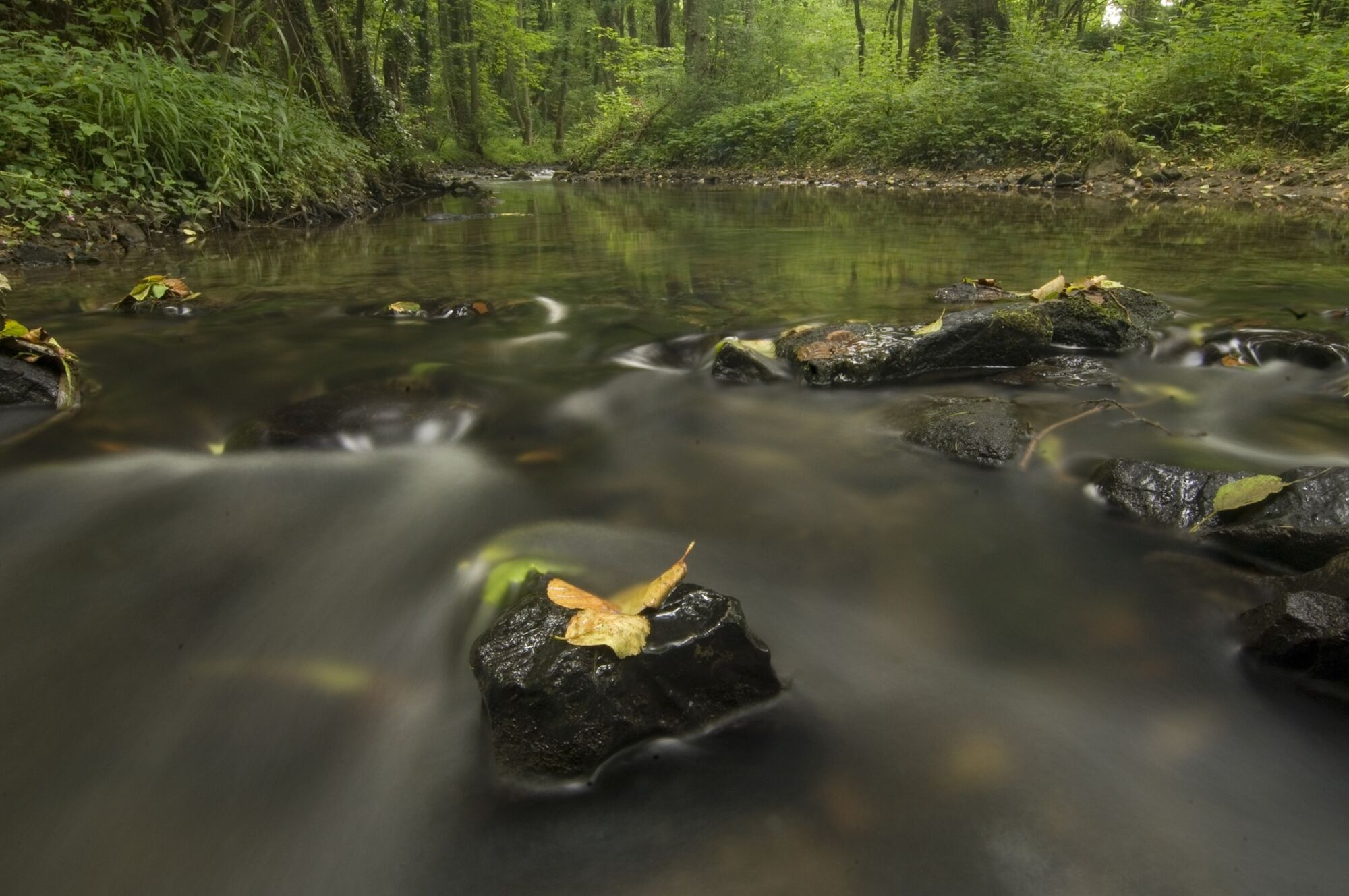
On the edge of Aachen Forest, between Köpfchen and Lichtenbusch, on the border between Germany and Belgium, lies the source of the Göhl.
- Vaikeus
-
tapa
- Arviointi
-
- Reitti
-
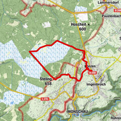
Kelmis0,2 kmAlt Moresnet2,8 kmBleiberg6,0 kmNotre Dame de Syracus8,3 kmTerbruggen8,3 kmSippenaachen9,1 kmÉglise Saint-Lambert9,1 kmHerberge zur Kornblume9,1 kmTerpoorter Bron12,7 kmTerpoorten12,7 kmEpen12,9 kmHurpesch14,7 kmMecheln15,8 kmPartij17,9 kmWittem19,1 kmGulpen21,3 kmSint-Petruskerk21,3 km
- Paras kausi
-
tammihelmimaalishuhtitoukokesäheinäelosyyslokamarrasjoulu
- Korkein kohta
- 184 m
- Kohde
-
Gulps. GPS- Cordinates 50.814585,5.888414
- Korkeusprofiili
-
 © outdooractive.com

- Kirjoittaja
-
Kiertue Göhl valley route Via Gulia - Kelmis - Gulpen käyttää outdooractive.com toimitettu.
GPS Downloads


Lisää retkiä alueilla
-
Weserland / Belgisch - Limburg
376
-
Aachen
110