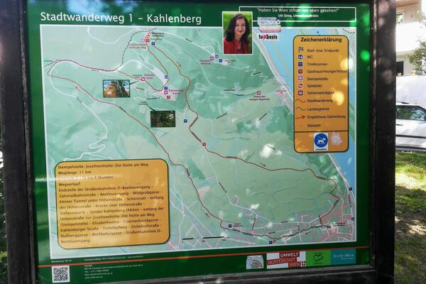
Kahlenbergerdorf Leopoldsberg Hermannskogel Windischalm 15.05.2016

© hel
© hel
© hel
© hel
© hel
© hel
© hel
© hel
© hel

© hel
Retkitiedot
14,6km
166
- 542m
740hm
420hm
05:00h

- Lyhyt kuvaus
-
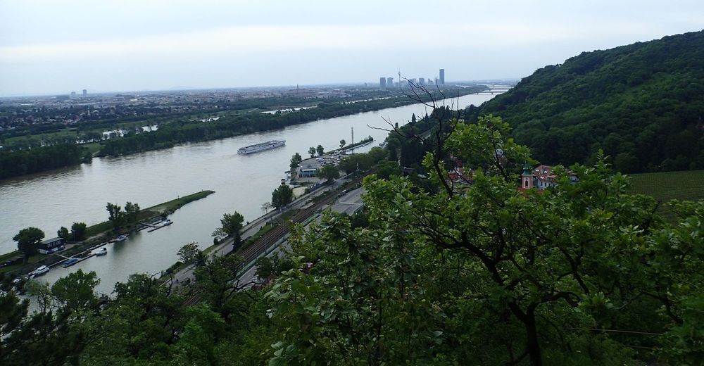
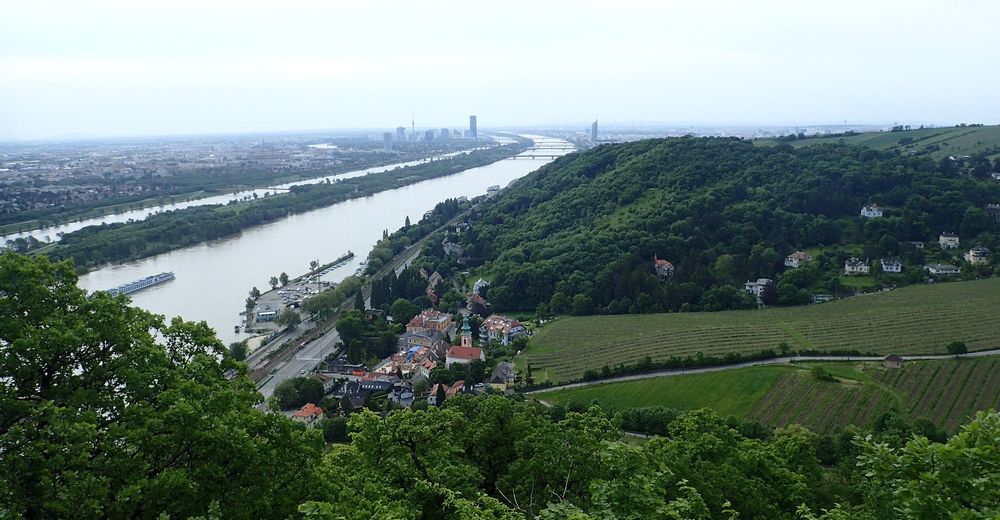
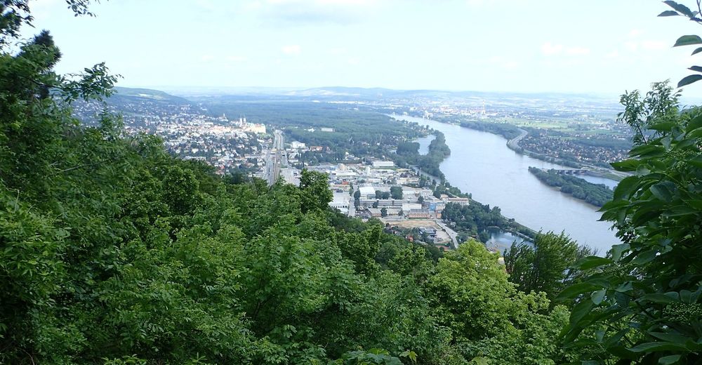
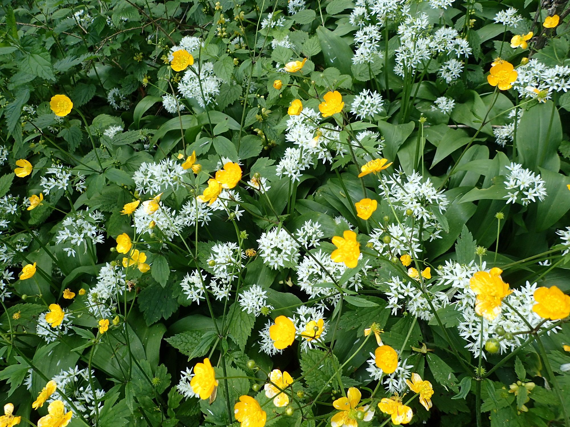
Wanderung von der Donau über Leopolds- und Kahlenberg, Hermannskogel zur Windischhütte.
- Vaikeus
-
helppo
- Arviointi
-
- Lähtöpiste
-
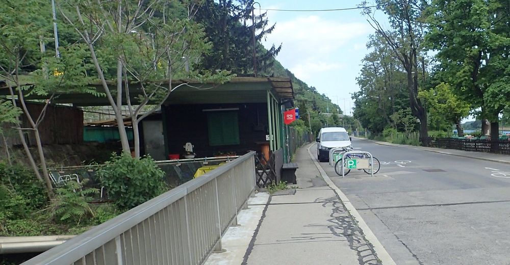
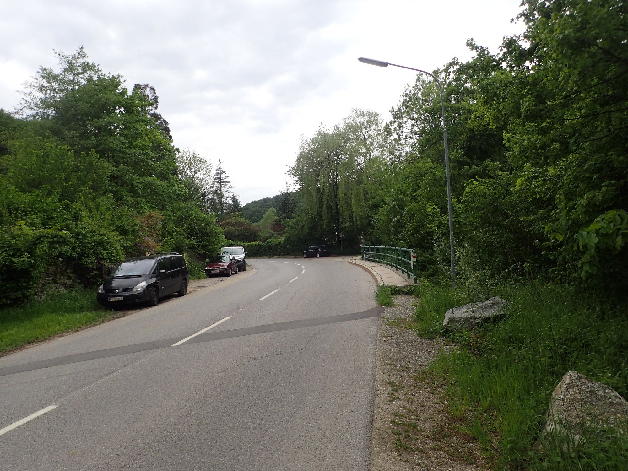
am Parkplatz
- Reitti
-
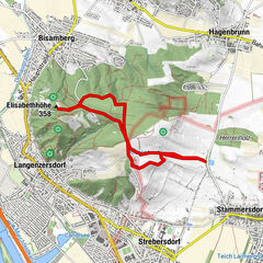
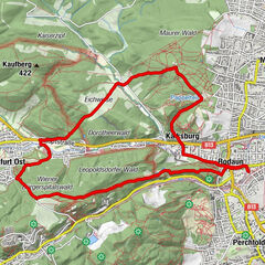
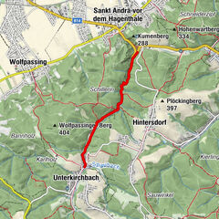
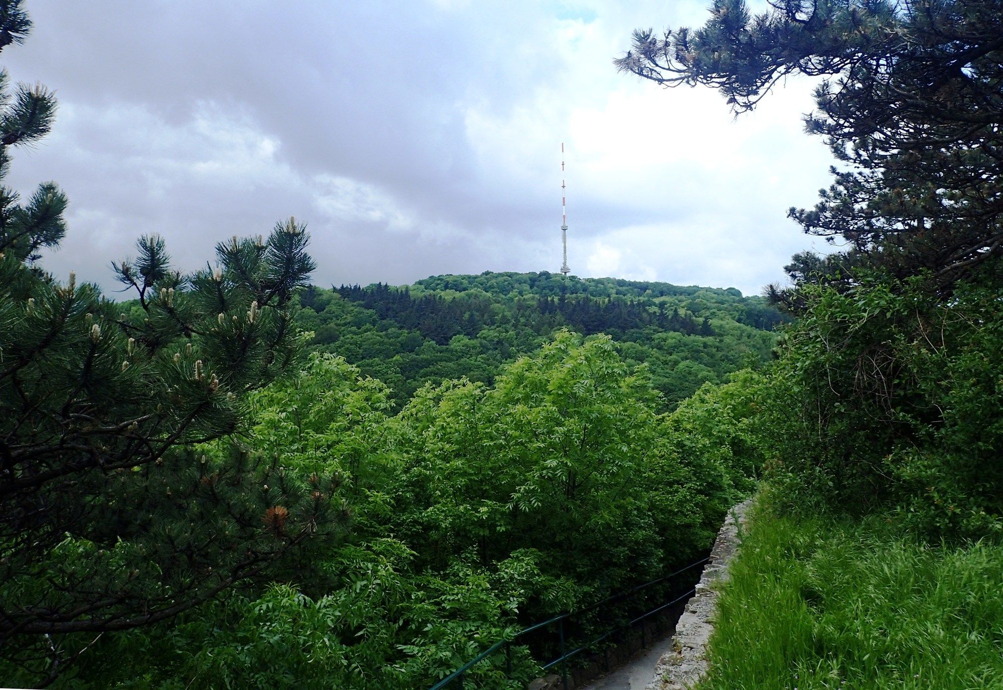
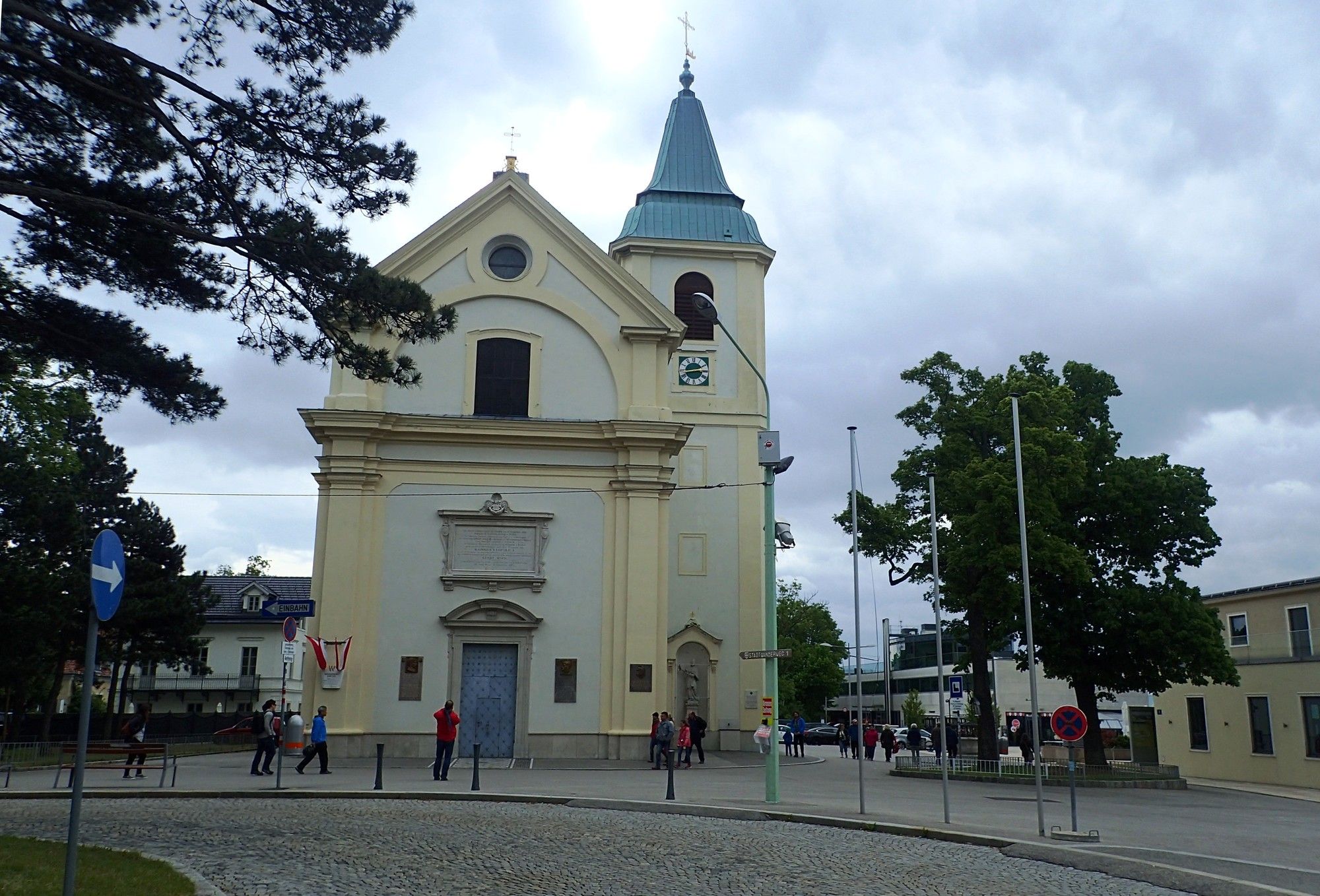
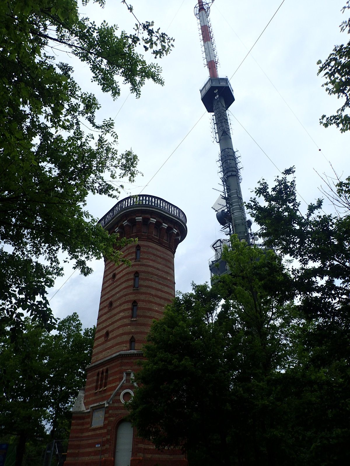
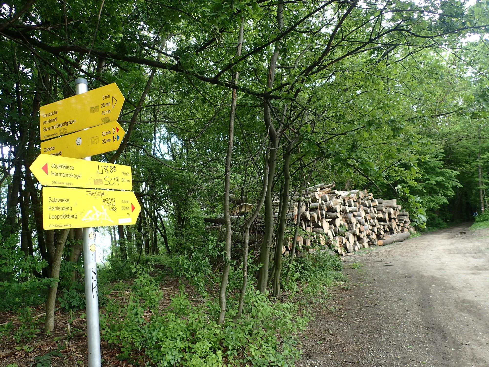
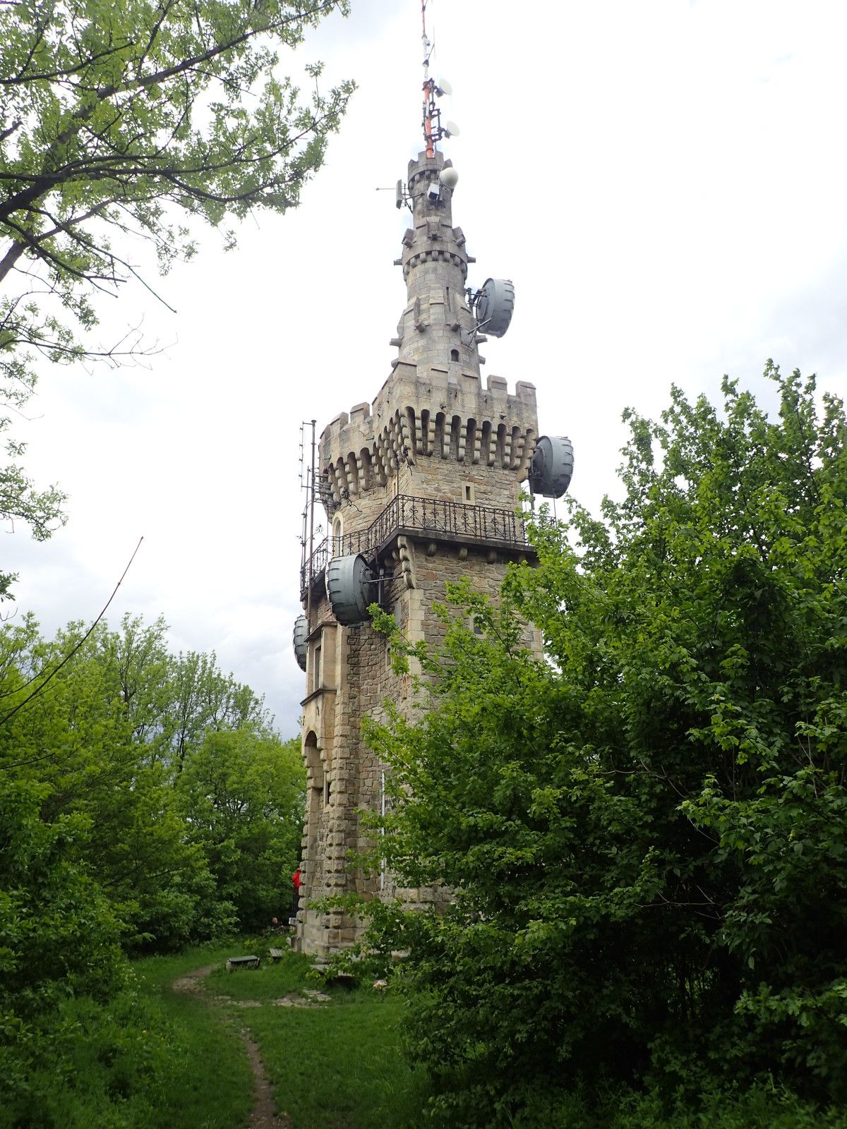
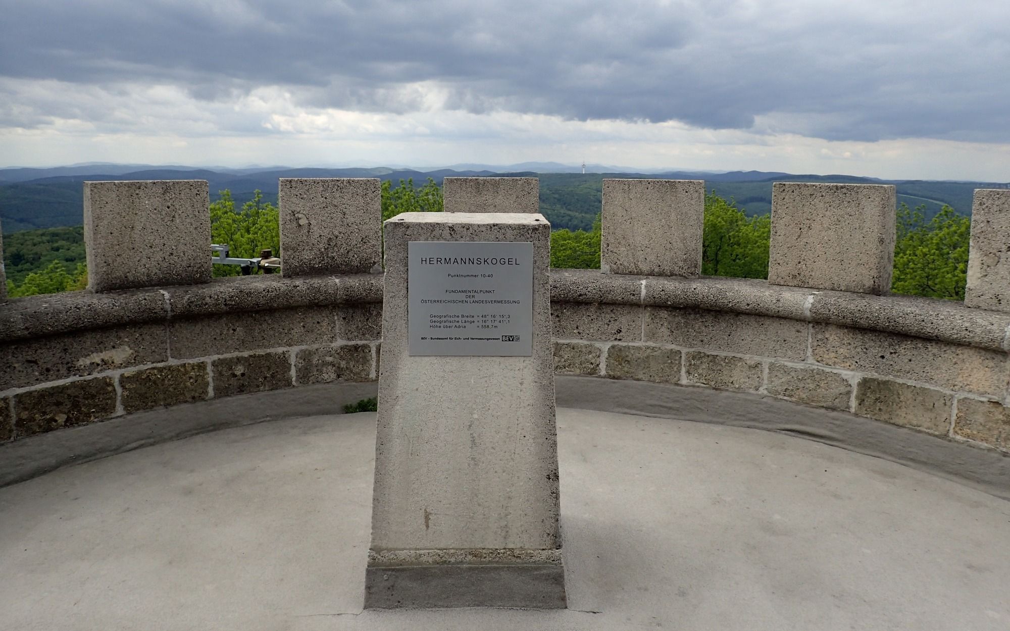
Vienna (542 m)0,1 kmKahlenbergerdorf0,1 kmSt. Leopold1,3 kmLeopoldsberg (425 m)1,5 kmHeimkehrer-Gedächtnismal1,6 kmJosefinenhütte2,6 kmJosefsdorf3,3 kmKahlenberg (484 m)3,6 kmGnadenkapelle5,1 kmHandleinsberg (495 m)5,7 kmVogelsangberg (516 m)6,1 kmGasthaus zum Agnesbrünnl6,9 kmHermannskogel (544 m)7,5 kmSauberg8,5 kmHinterweidling10,1 kmTrailpark Weidlingbach11,3 kmWeidlingbach11,5 kmTaferlberg (465 m)12,5 kmKropfeiche (495 m)13,3 kmWindischhütte14,5 km
- Paras kausi
-
tammihelmimaalishuhtitoukokesäheinäelosyyslokamarrasjoulu
- Korkein kohta
- Hermannskogel (542 m)
- Kohde
-
Leopoldsberg, Kahlenberg, Hermannskogel, Weidlingbach, Windischhütte. Mit dem Autobus od. zweiten Auto wieder zurück.
- Lepo/Retriitti
-
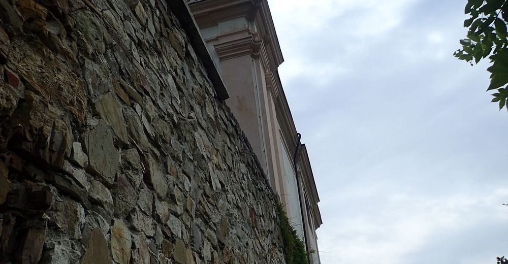
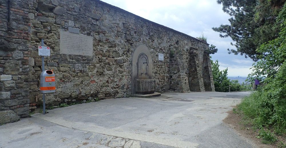
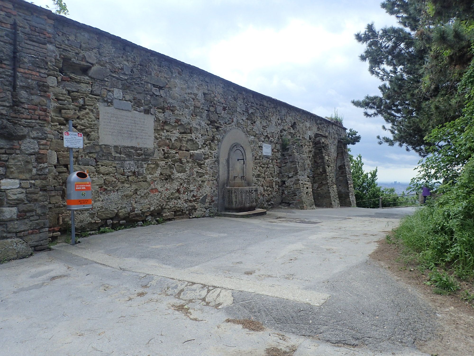
Windischhütte, Gasthaus Agnesbrünnl
- Karttamateriaali
-
bergfex, amap, kompass, opentopomap


- Lähde
- Erich Helferstorfer
GPS Downloads


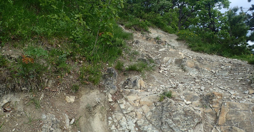
Polun olosuhteet
Asfaltti
(35%)
Sora
(35%)
Niitty
(15%)
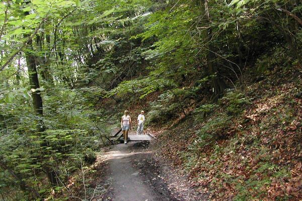
Metsä
(15%)
Kallio
Altistettu
Lisää retkiä alueilla
-
Wienerwald
4219
-
Wien und Umgebung
2481
-
Klosterneuburg
1039