


Retkitiedot
7,06km
468
- 638m
360hm
190hm
01:37h
- Lyhyt kuvaus
-
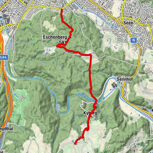
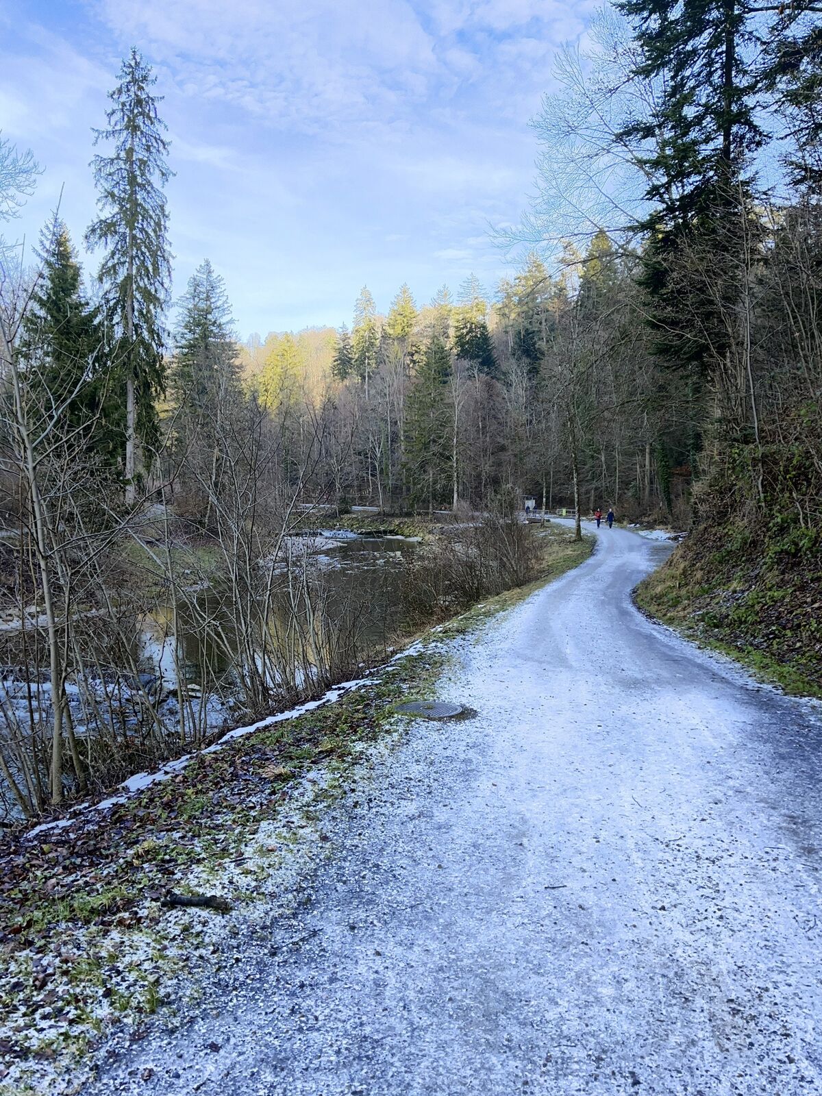
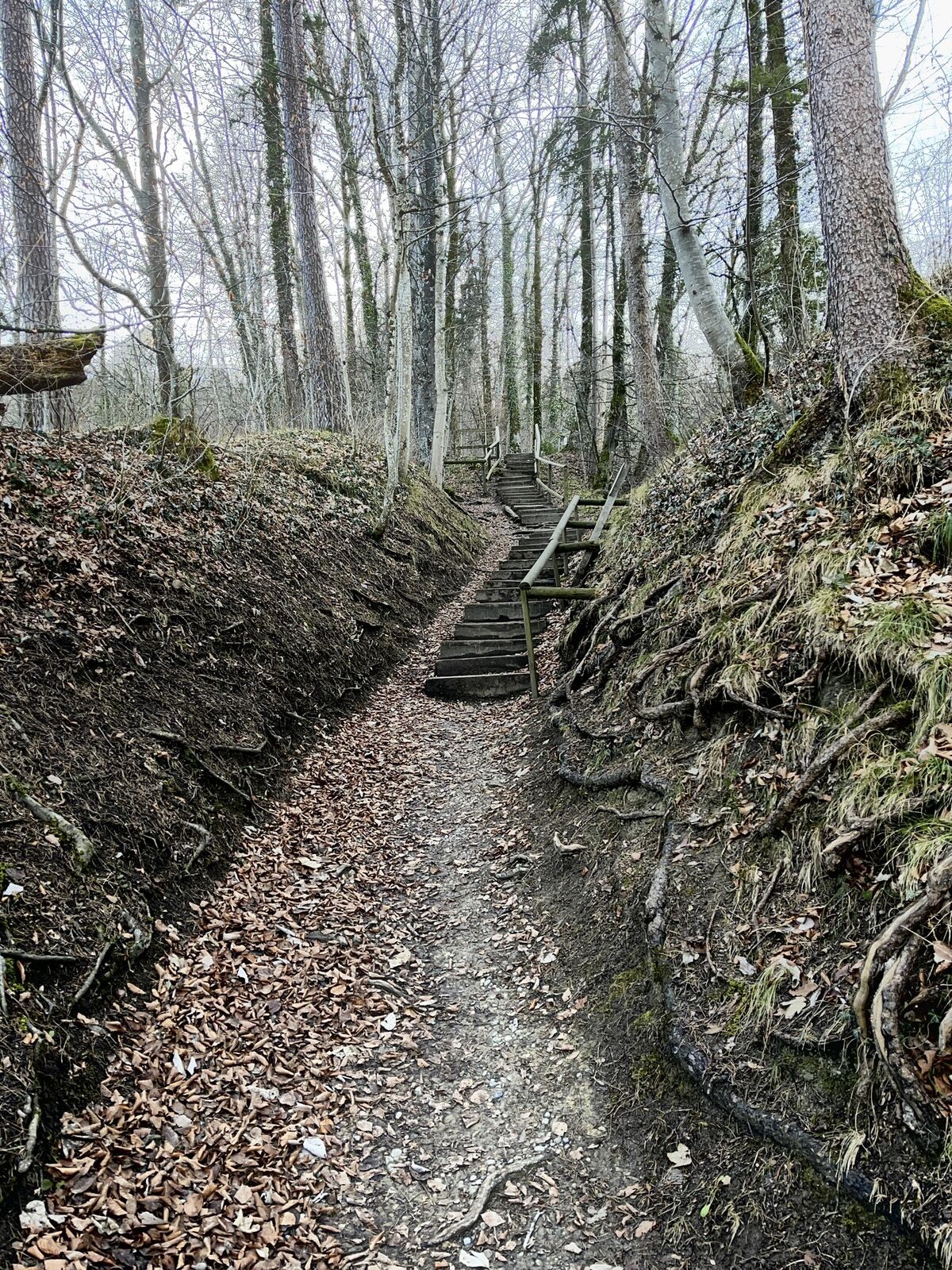
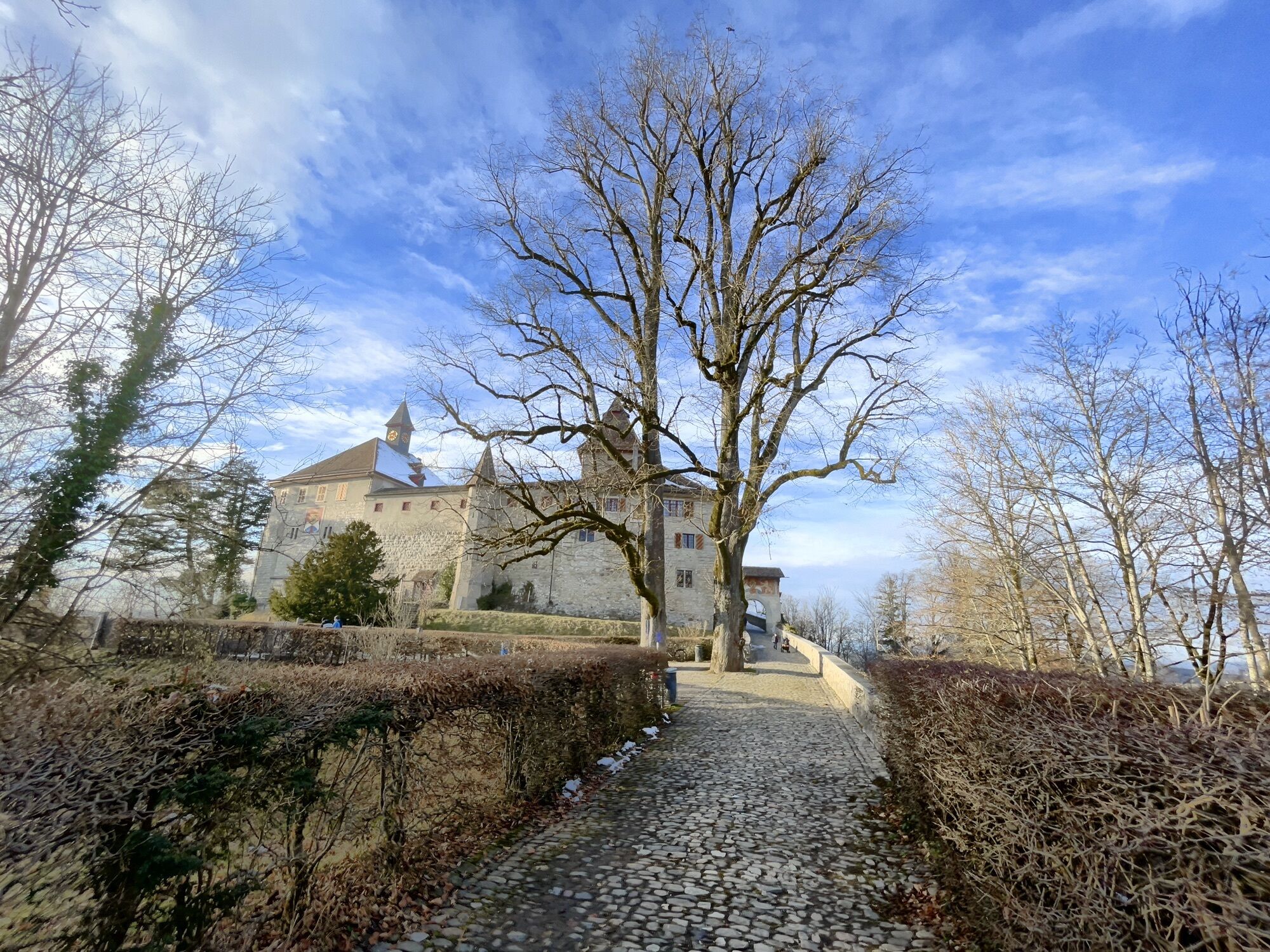
Hike from the City Winterthur to the castle Kyburg
- Vaikeus
-
tapa
- Arviointi
-
- Reitti
-
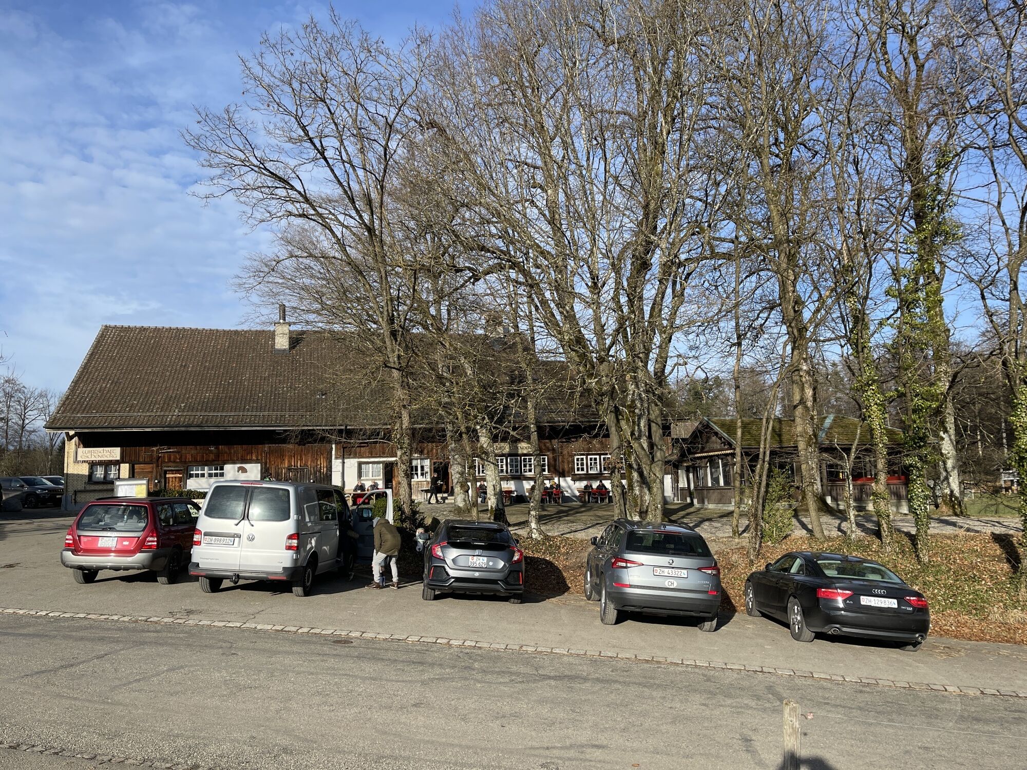
Winterthur (439 m)Steglitobel0,0 kmEschenberg (591 m)1,1 kmEschenberg3,0 kmHirschen5,6 kmKyburg (640 m)5,6 kmZur Linde5,7 kmEttenhusen6,9 km
- Korkein kohta
- 638 m


GPS Downloads

Lisää retkiä alueilla
-
SchaffhauserLand
1027
-
Zürcher Weinland
521
-
Winterthur
103


