


The Glorious Repatriation of the Waldensians


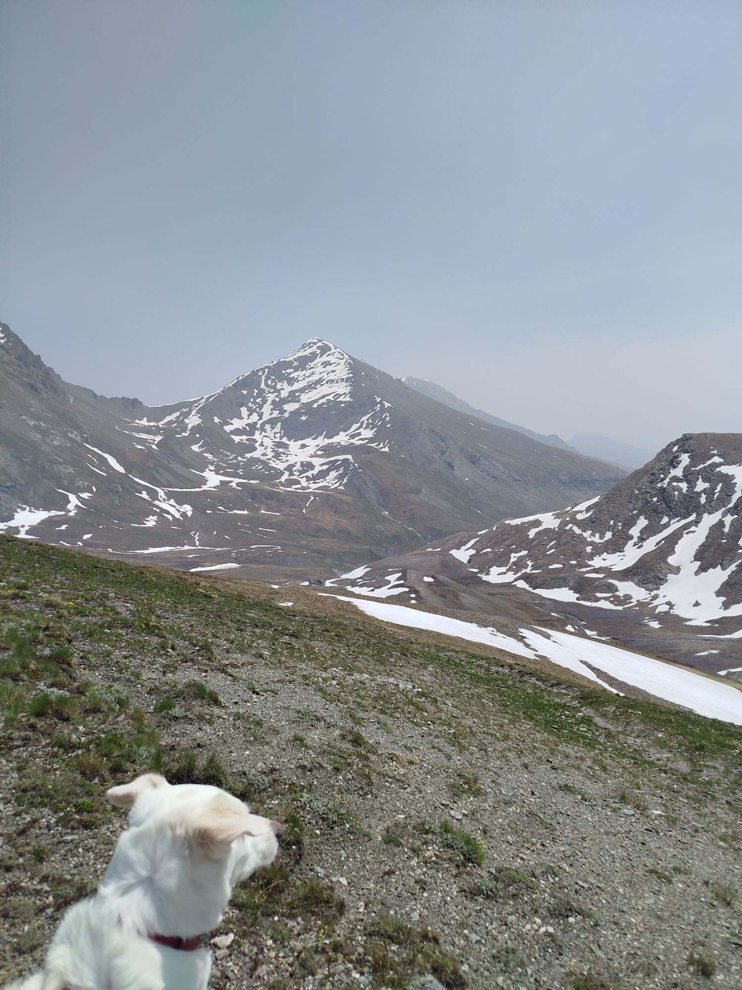

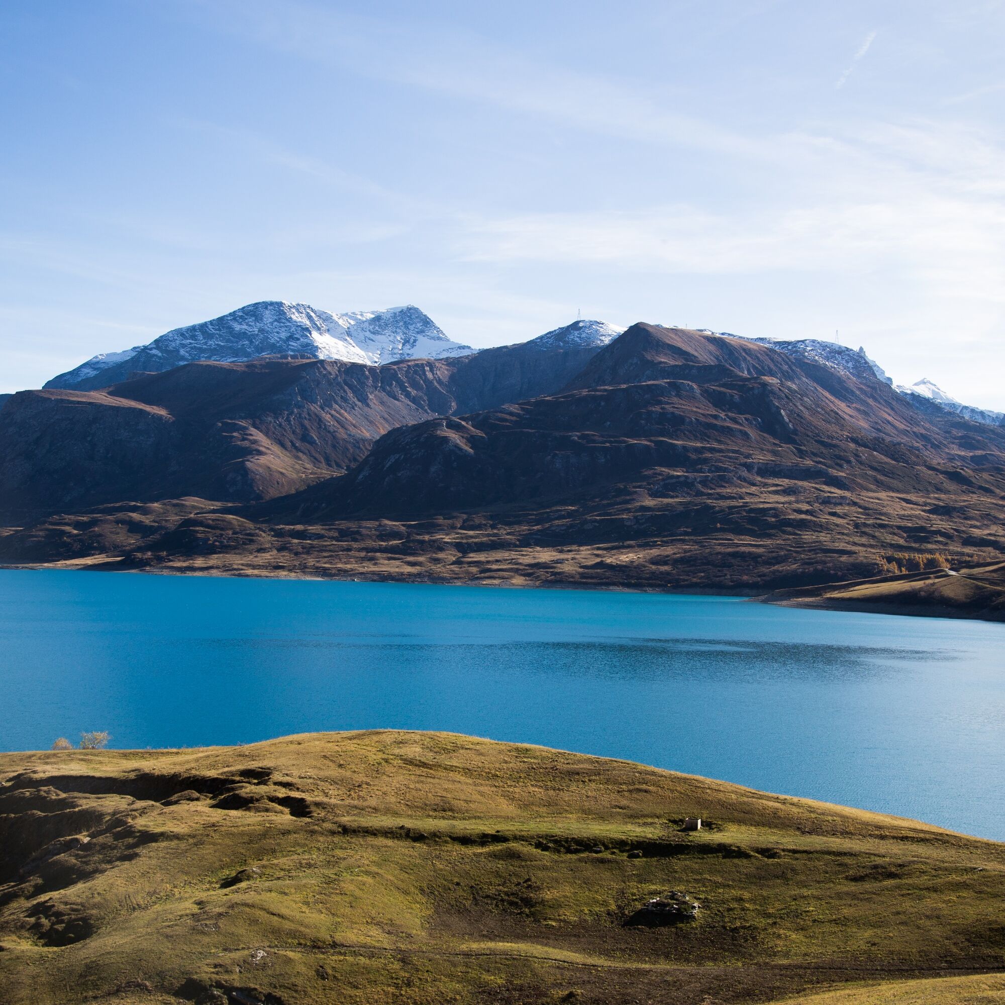
A 250 km march over 12 days across the Savoy region by a thousand men, led by the Waldensian pastor Henri Arnaud, who fought against the French troops to defend their valleys in August 1689. This, in a...
A 250 km march over 12 days across the Savoy region by a thousand men, led by the Waldensian pastor Henri Arnaud, who fought against the French troops to defend their valleys in August 1689. This, in a nutshell, was the Glorious Return of the Waldensians, which this itinerary celebrates by retracing their steps.This feat has always aroused a great deal of interest, first of all from the military aspect: Napoleon was deeply impressed and in 1872 the Italian War Ministry instructed Captain Gallet to repeat the itinerary on foot. Secondly, the Return was made known from the tourist point of view by various travellers, especially English, in pursuit of authentic nature and people capable of simple living. In the 19th century, there was renewed attention to the event within the Waldensian church as well: for the 1889 celebrations, a group of six Waldensians retraced the itinerary on foot from Lake Geneva to the Waldensian Valleys; a similar initiative was also undertaken in 1989, this time with the participation of about a hundred people.This route is now part of Europe's Cultural Routes Programme: the "Huguenot and Waldensian Trail" which runs from the south of France, through Switzerland, to Northern Germany.
The itinerary was the object of promotion within the platform as part of the PITEM M.I.T.O. – Outdoor OFF - Interreg Italy-France Cross-Border Cooperation Program ALCOTRA 2014-2020.


Kyllä
Kyllä
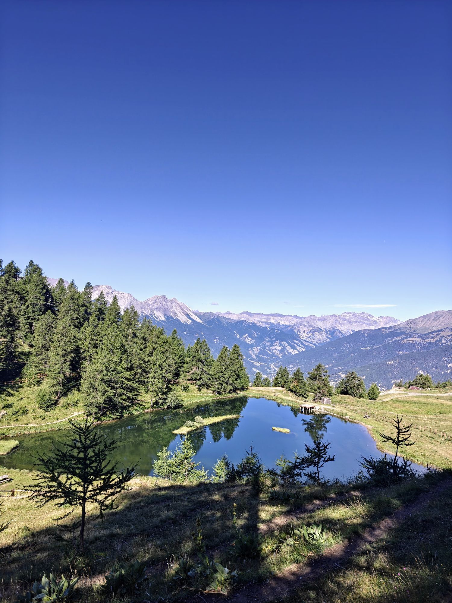
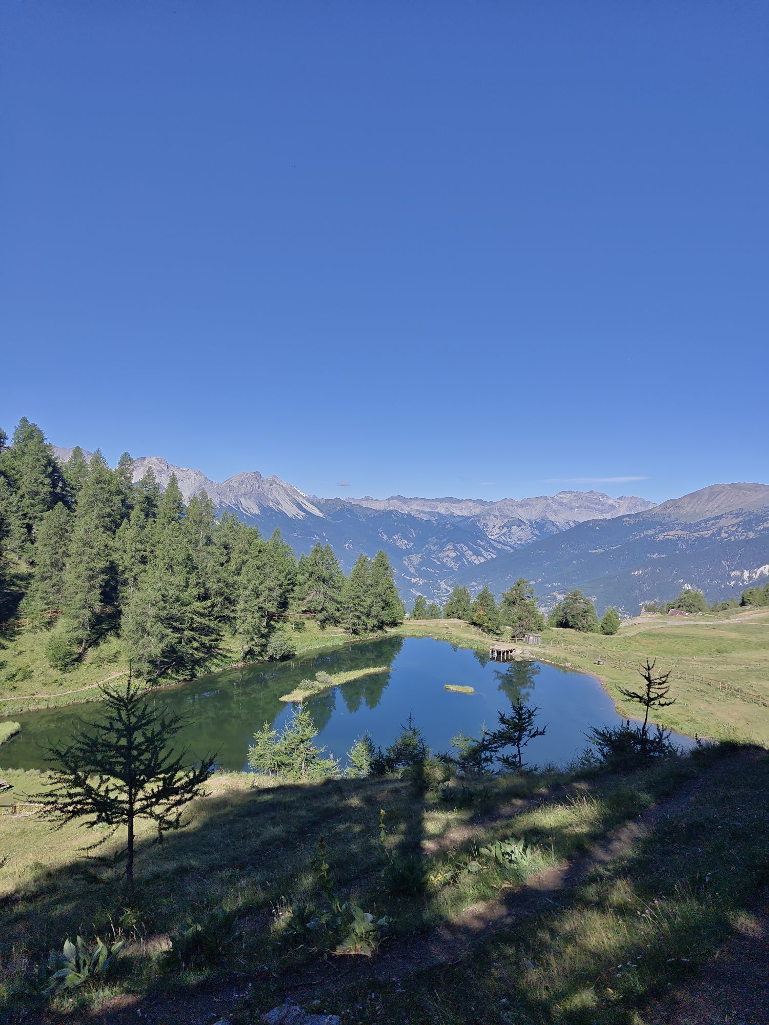
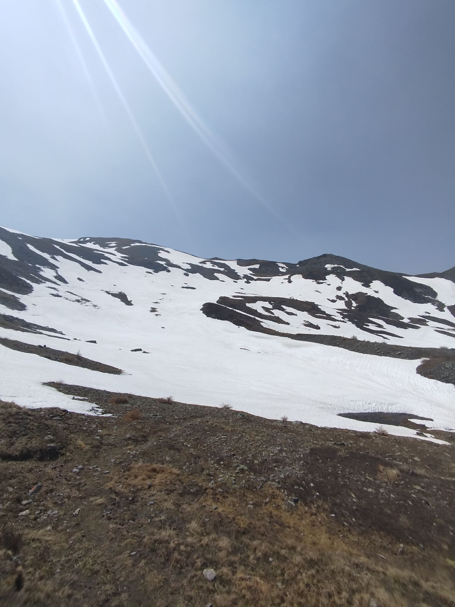
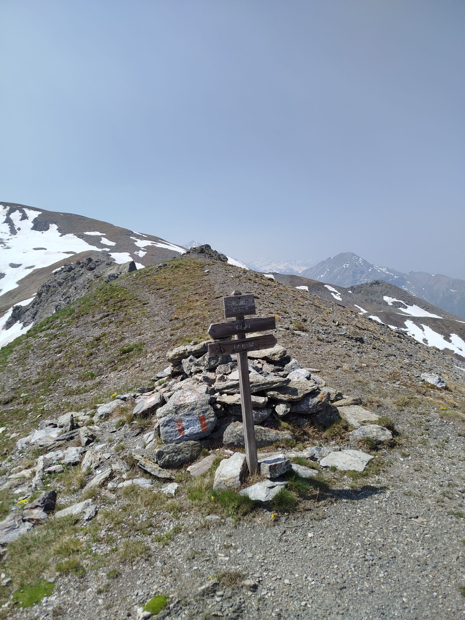
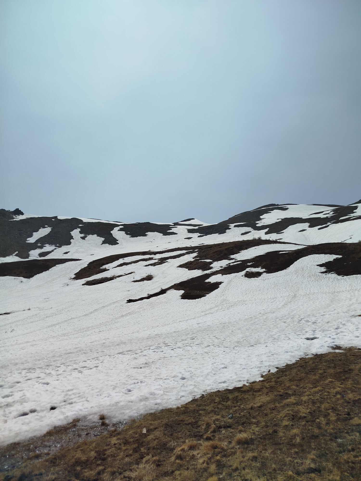
Among the points of interest along the route, the Franco-Italian boundary stone on the border, the xeric landscape of the Val Clarea, the Trou di Thullie, (or Colombano Romean canal), an underground canal of which a hole can be seen in one wall, which carries water from the Tiraculo valley to the Val di Susa; the peak of the Quattro Denti (2024 m above sea level); the Fort of Exilles which can be seen from above; the Colle Blegier; the Strada dell'Assietta, one of the highest (over 2200 m above sea level) and most spectacular military roads in Europe; Entering the Val Troncea Park, the landscape of the Clot della Soma towards the Col del Pis, the Enrietto pylon; military barracks in the Moremout basin; Colle del Beth (bivouac). Sibaud Stele in Bobbio Pellice: commemorative monument inaugurated in 1889 on the occasion of the second centenary of the Glorious Repatriation. Also worth mentioning are the Gianna and Paola talc mines in Serrevecchio and Crosetto, which are recommended to visit even if they are not included in this itinerary (Eco museum Le Miniere).
THE CREDENTIAL
The credential, issued by the Waldensian Cultural Center Foundation, can be purchased at a cost of €5 (+shipping) directly from the Foundation office or by emailing bookshop@fondazionevaldese.org. Once completed, in addition to being a valuable memento of the experience, the credential gives the opportunity to visit the Waldensian Museum in Torre Pellice for free.
The sale of credentials supports the activities of The Roads of the Waldenses and Huguenots.
Info
Suosittuja retkiä naapurustossa
-
5,0
CESANA T.SE To Fenils (No. 48)
valoVaellus 4,29 km -
SESTRIERE Assietta Road
mediumMaastopyörä 43,3 km -
La Via dei Saraceni (Sauze d'Oulx)
mediumMaastopyörä 33,6 km -
SAUZE DI CESANA Argentera Valley
mediumMaastopyörä 30,7 km -
CESANA T.SE Thures - Cima Bosco
mediumVaellus 10,6 km -
Sentiero Italia: Salbertrand - Bardonecchia
mediumVaellus 19,5 km -
Trail Sentiero Balcone: Stage 6 Chateau Beaulard - Cesana Torinese
mediumVaellus 17,5 km -
CESANA T.SE Ring Cesana - Sauze di Cesana
mediumMaastopyörä 14,7 km -
Argentera Valley : Brusà del Plan- Ponte Montenero (no. 39)
valoVaellus 6,02 km -
CESANA T.SE The " Cesana - San Sicario - Sestriere"
raskasMaastopyörä 12,5 km

Vaellus & jäljitys


Älä jää paitsi tarjouksista ja inspiraatiosta seuraavaa lomaasi varten.
Sähköpostiosoitteesi on lisätty postituslistalle.