


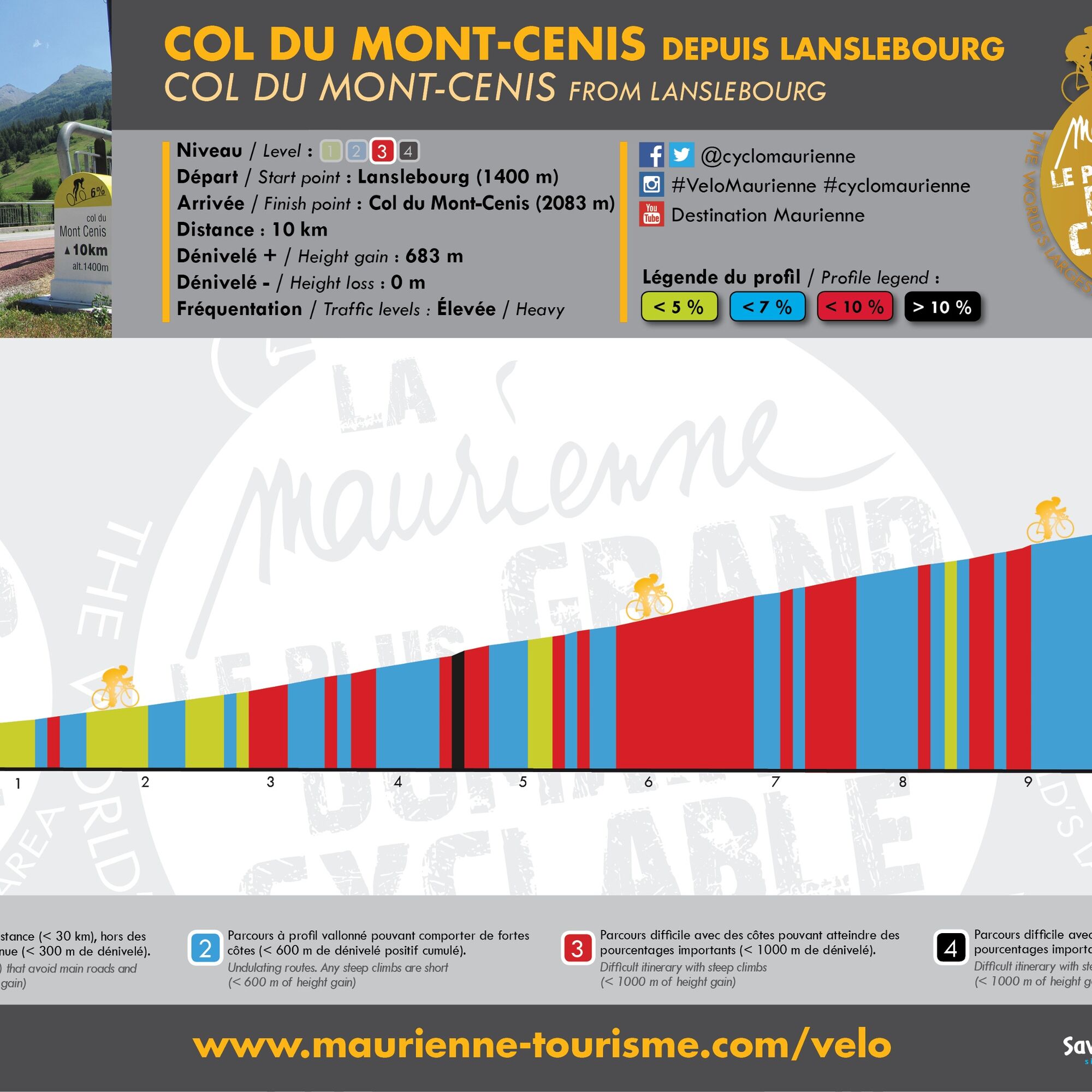
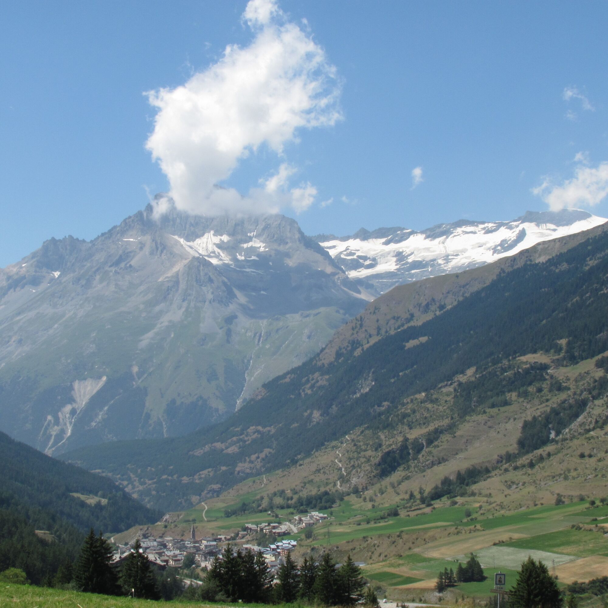
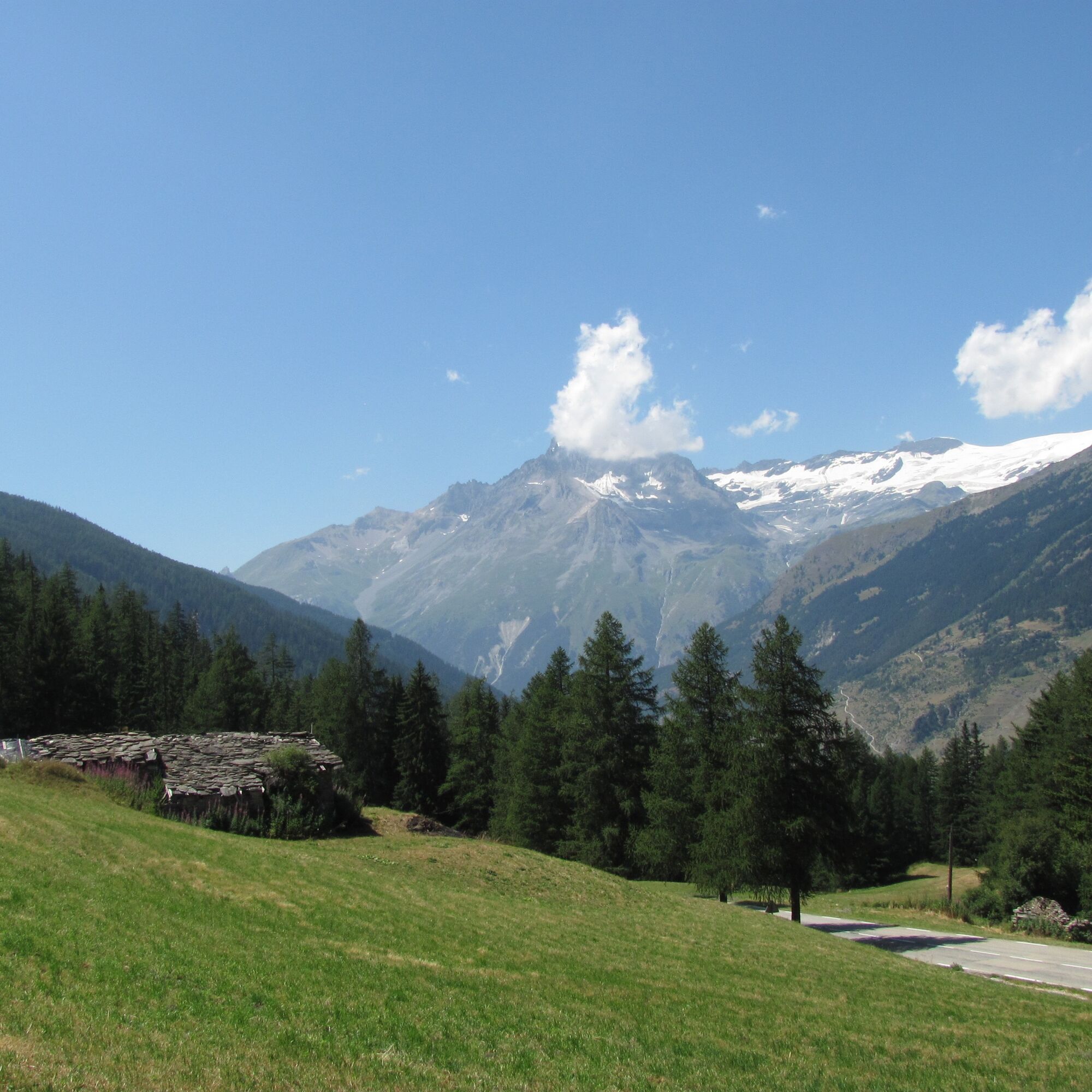
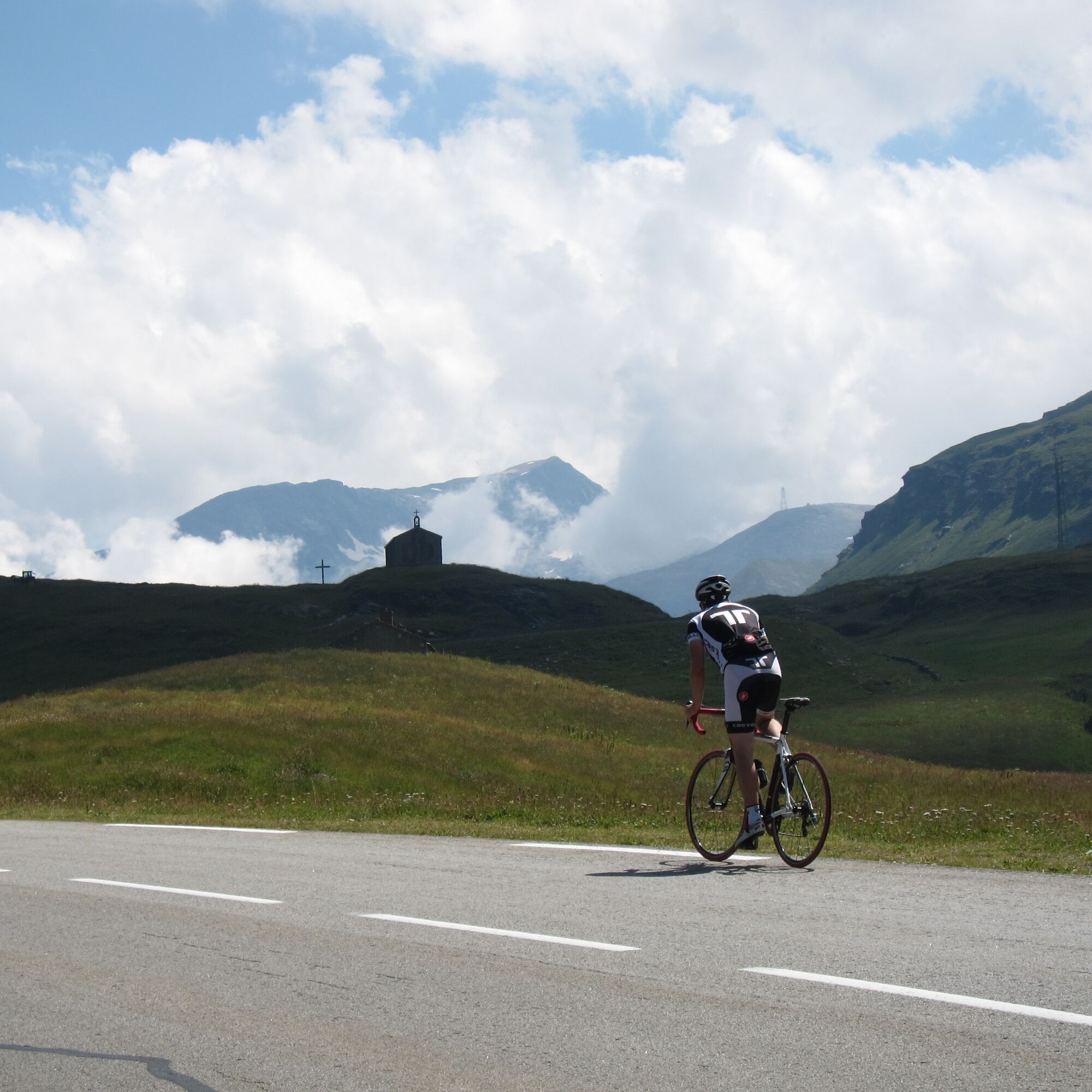
Col du Mont Cenis from Lanslebourg


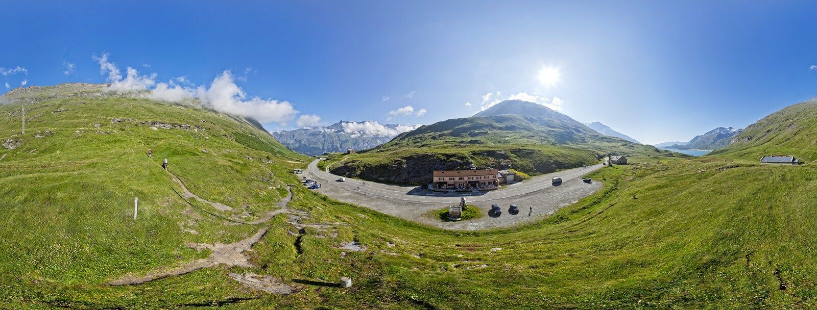
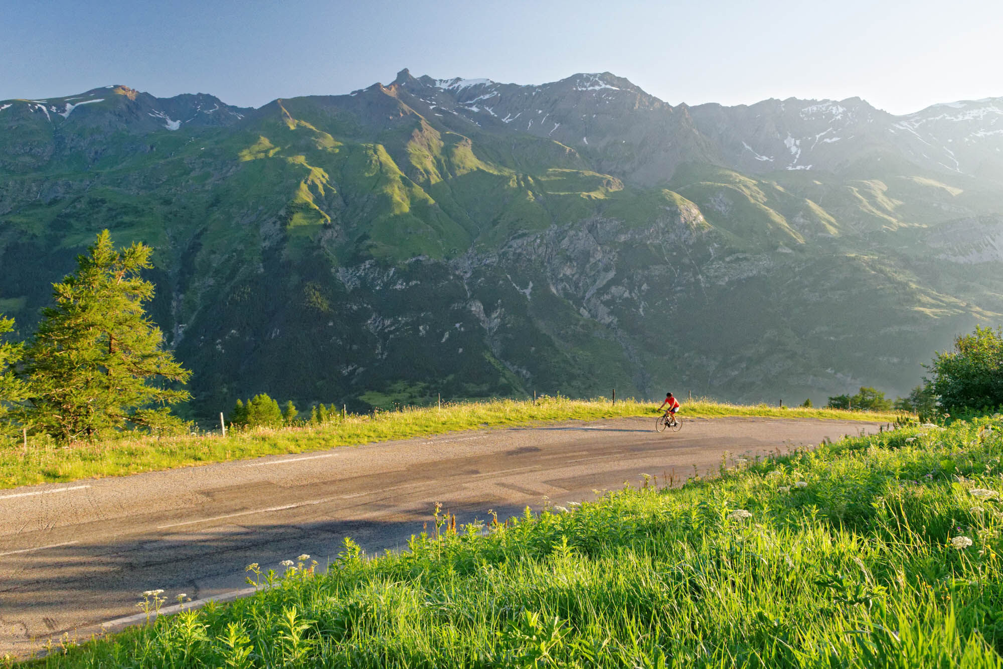
The 2084-m high Col du Mont-Cenis towers above the Maurienne and Susa Valleys, at the heart of the Mont-Cenis Range.
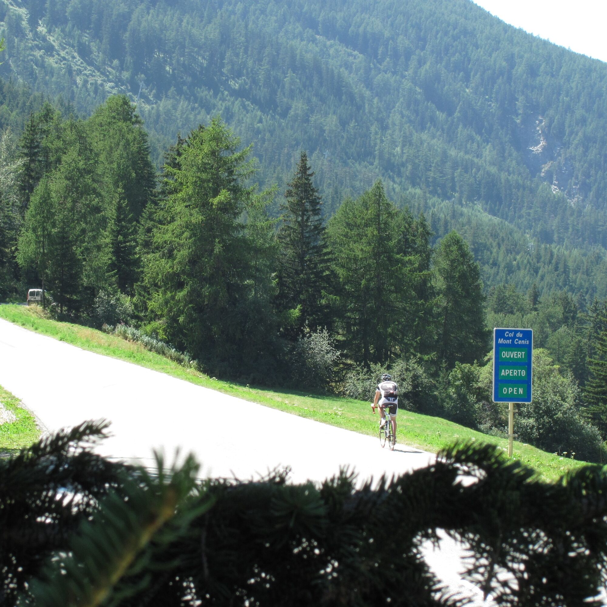
This prestigious pass marked the border between France and Italy until 1947. The very...
The 2084-m high Col du Mont-Cenis towers above the Maurienne and Susa Valleys, at the heart of the Mont-Cenis Range.
This prestigious pass marked the border between France and Italy until 1947. The very narrow road that existed under the First Empire (wagons had to be disassembled and carried on mules) was widened by Napoleon Bonaparte, with construction taking ten years, from 1803 to 1813, and involving the toil of 3000 labourers. During the work, the 9th-century hospice was extended so it could provide shelter for poor travellers, not for travellers “who thanks to their fortune can enjoy the hospitality of the inns set up along the road”, to quote the rules introduced by the Bishop of Saint-Jean-de-Maurienne.
Pope Pious VII stayed at the hospice in 1812. He was in such poor health he was given the last rights but, against all expectations, he recovered and was able to get back to France.
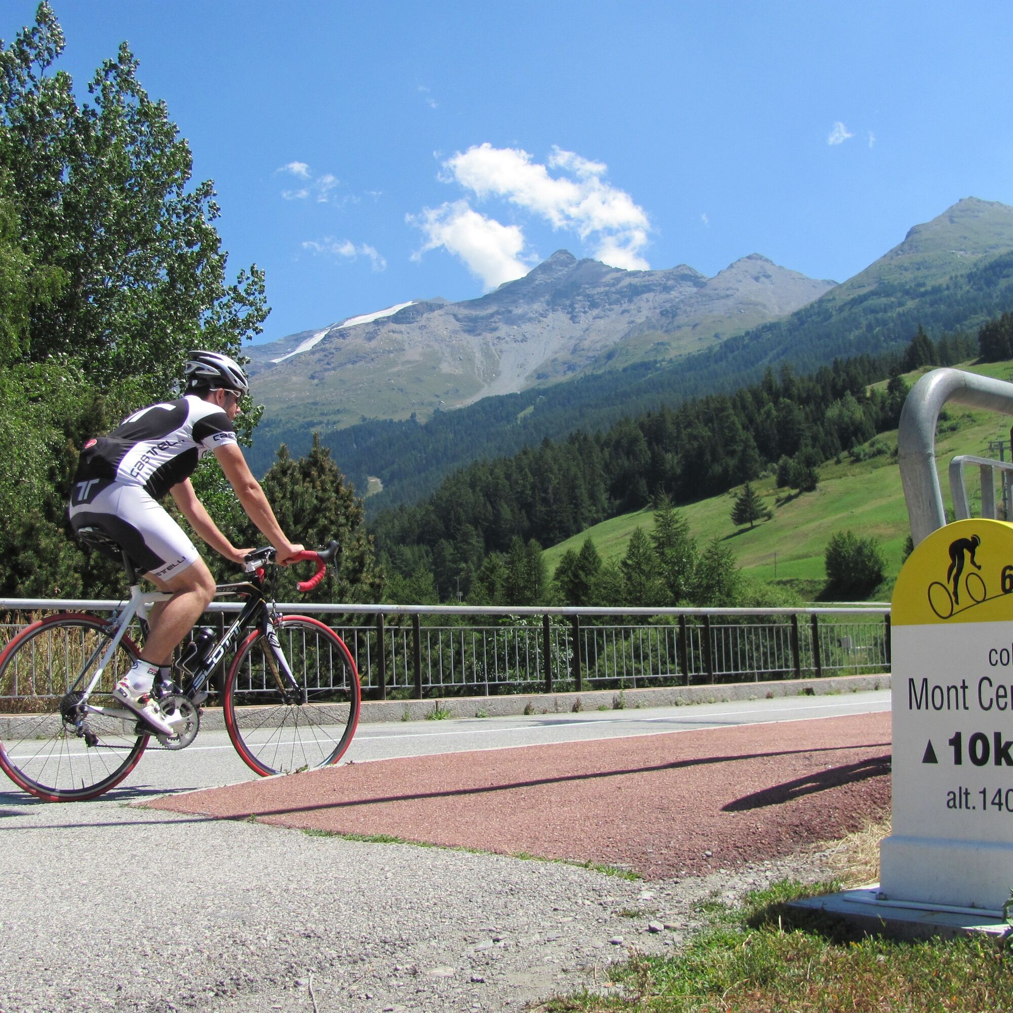
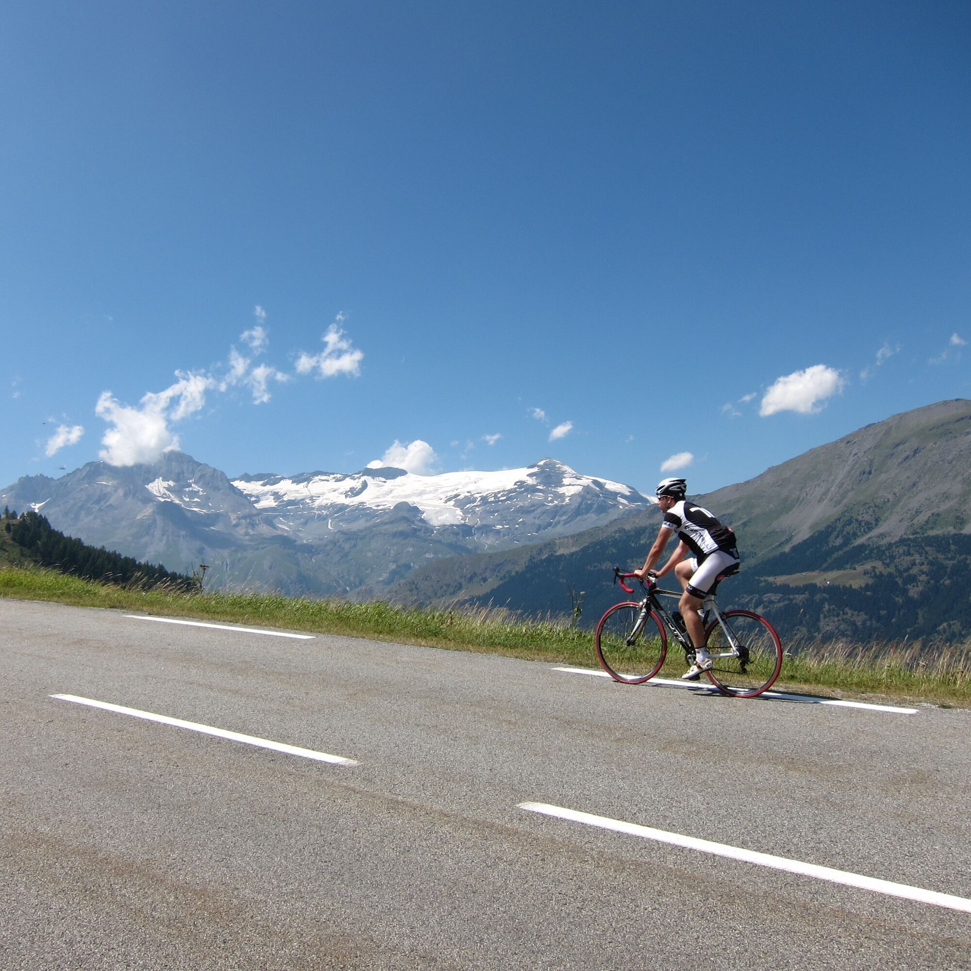
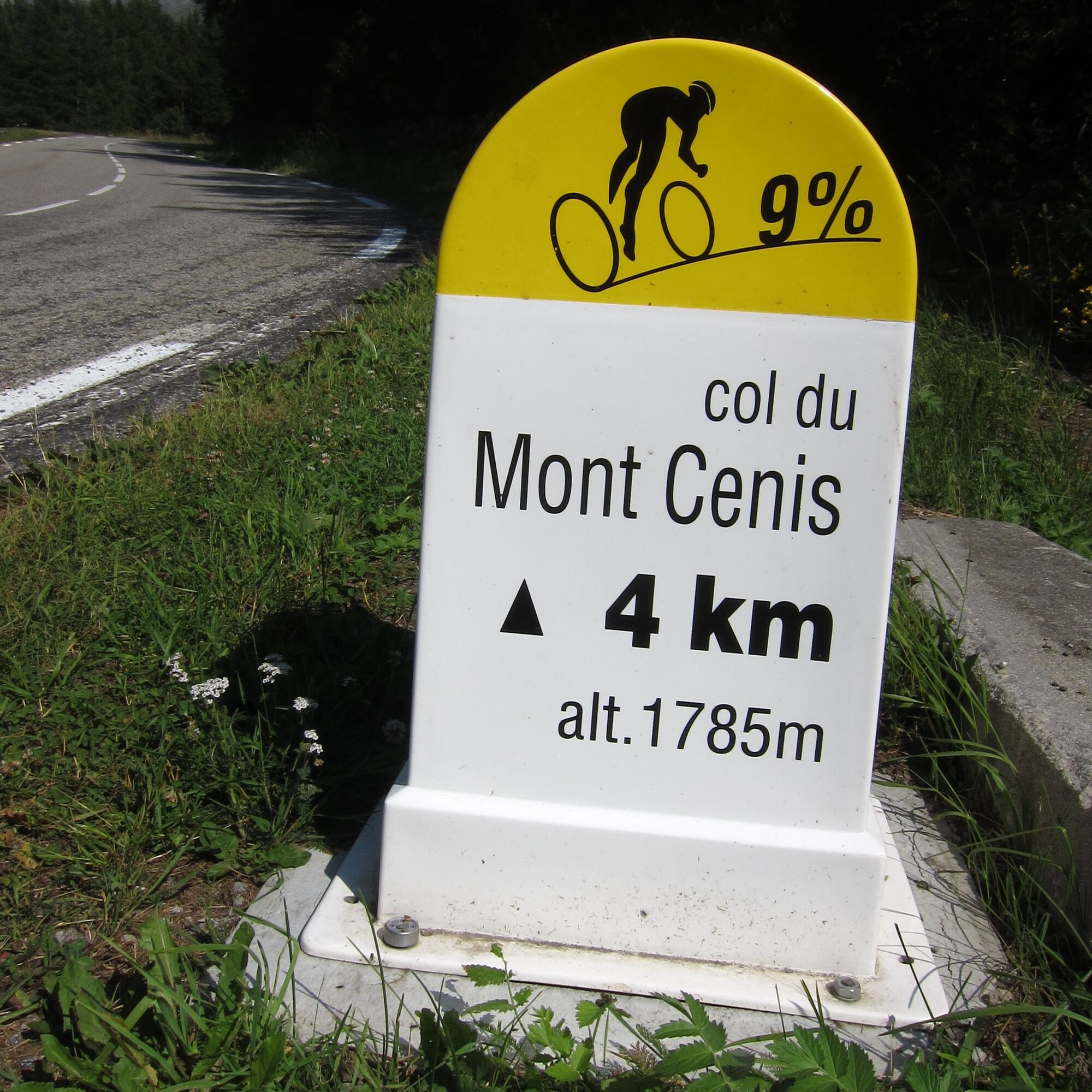
There are some kilometer markers during the Mont-Cenis itinerary.

Period: from 01/05 to 31/10. Can be enjoyed outside the snow season and depending on weather conditions. Check with the Tourist Office beforehand for current conditions. Subject to favourable snow and weather conditions.
Kyllä
APIDAE tourism data updated on 30/07/2021 by "Maurienne Tourisme".
Spotted an error? Write to the owner with the following information:
File name: Col du Mont-Cenis depuis Lanslebourg | Record identifier: 762668 | URL (link) for this Outdooractive page.
Suosittuja retkiä naapurustossa
-
Refuge du Fond d'Aussois - a wild valley in the Vanoise - 2-day hike
valoVaellus 9,24 km -
The White Lake
valoVaellus 4,42 km -
Sentier pédestre des Sculptures - Land Art Montagne
valoTeemareitti 5,16 km -
Col du Mont Cenis from Modane
raskasMaantiepyörä 34,8 km -
Little ascent of Plan d'Aval
raskasMaantiepyörä 6,37 km -
5,0
Goldtoni - Alpenbogen A068 Refuge de la Leisse-Termignon Val Cenis
mediumPitkän matkan vaellusreitti 28,7 km -
Col de l'Iseran from Termignon
raskasMaantiepyörä 38,3 km -
Petit Mont-Cenis pass
raskasMaantiepyörä 18,0 km -
Walking in the heart of the village of Bessans
valoTeemareitti 1,74 km -
little 'Haute-Maurienne Vanoise' circuit
raskasMaantiepyörä 32,0 km
Vaellus & jäljitys


Älä jää paitsi tarjouksista ja inspiraatiosta seuraavaa lomaasi varten.
Sähköpostiosoitteesi on lisätty postituslistalle.