


FS100 Muggendorf-Waischenfeld


Kuvia käyttäjistämme
-
 © Günter RitzerLuotu 12.10.2025
 -
 © Günter RitzerLuotu 12.10.2025
 -
 © Günter RitzerLuotu 12.10.2025
 -
 © Günter RitzerLuotu 12.10.2025
 -
 © Günter RitzerLuotu 12.10.2025
 -
 © Günter RitzerLuotu 12.10.2025
 -

 © Waltraud GassertLuotu 24.05.2025
 -
 © Emanuel BeimelLuotu 09.03.2025
 -
 © Emanuel BeimelLuotu 09.03.2025
 -
 © Norbert HerbigLuotu 30.10.2022
 -
 © Norbert HerbigLuotu 30.10.2022
 -
 © Norbert HerbigLuotu 30.10.2022
 -

 © Mariano Sanz LuffroyLuotu 08.05.2021
 -
 © Mariano Sanz LuffroyLuotu 08.05.2021
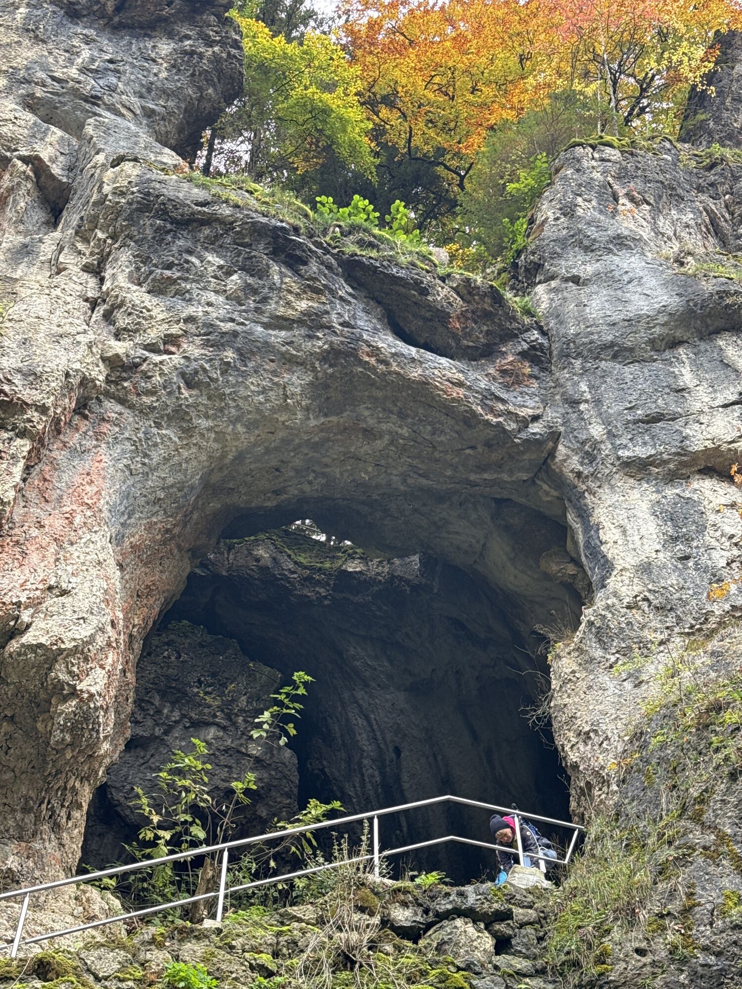
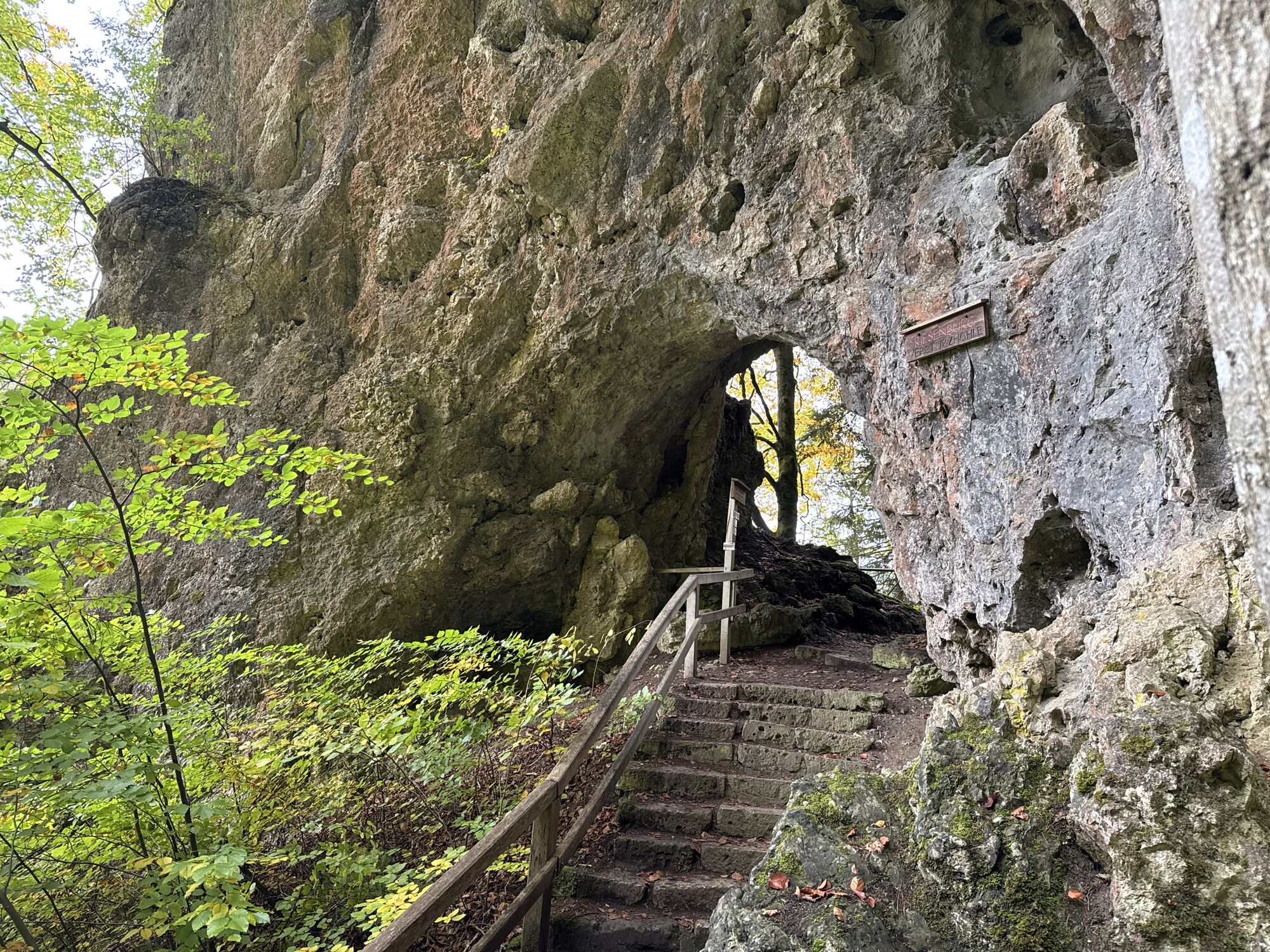
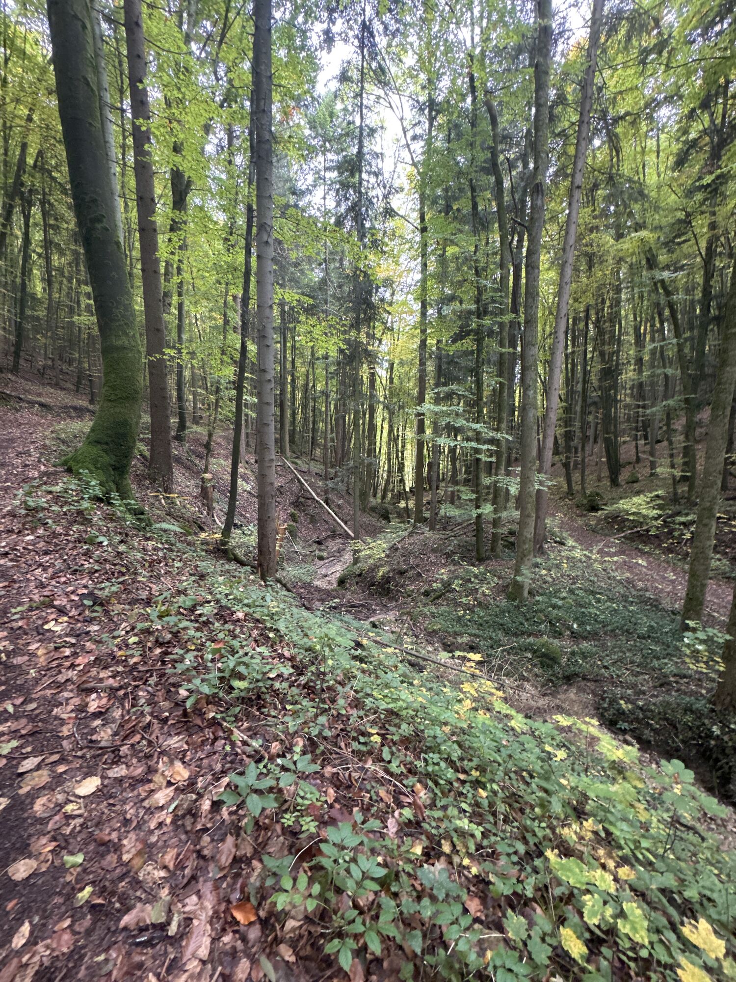
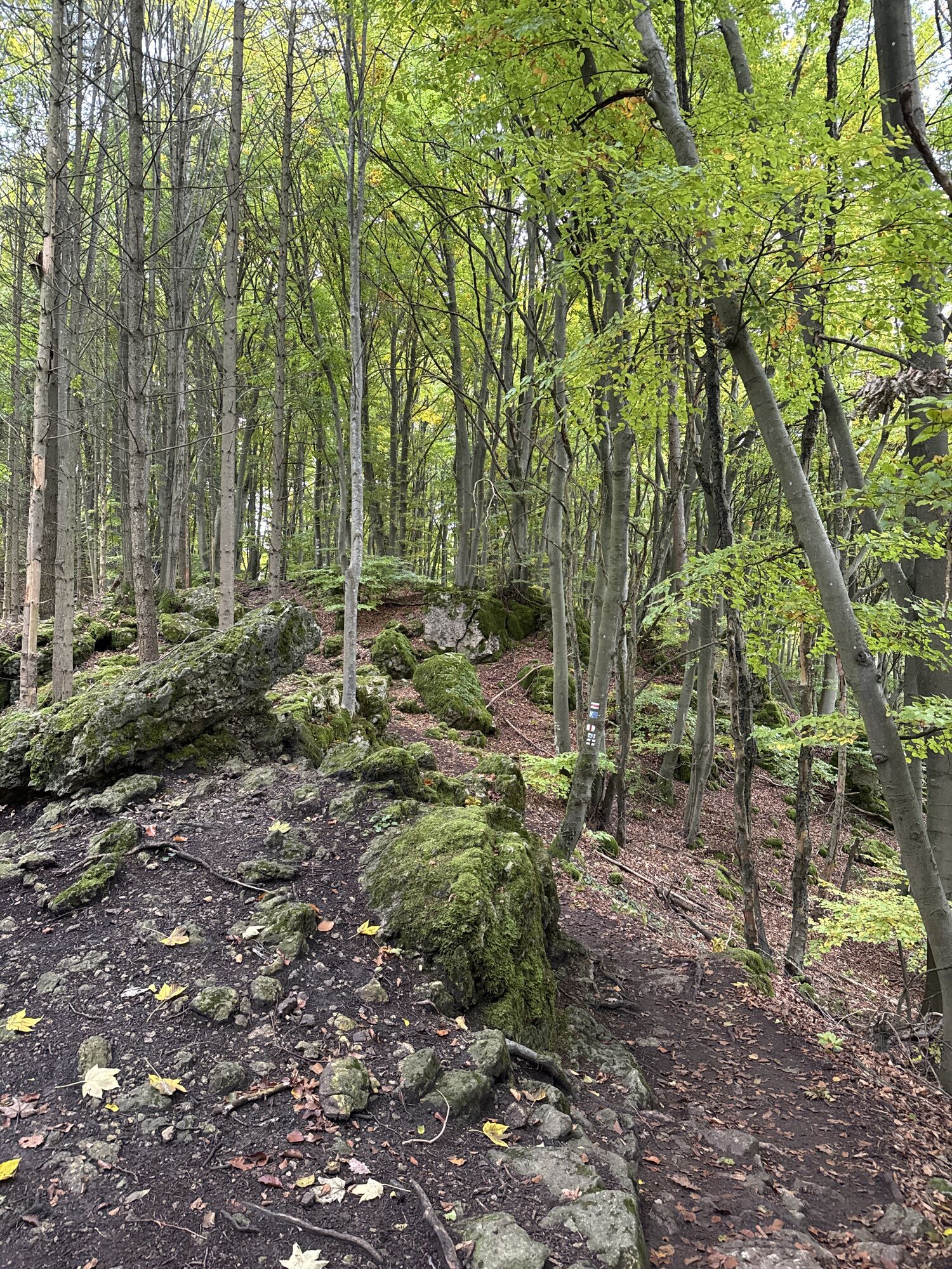
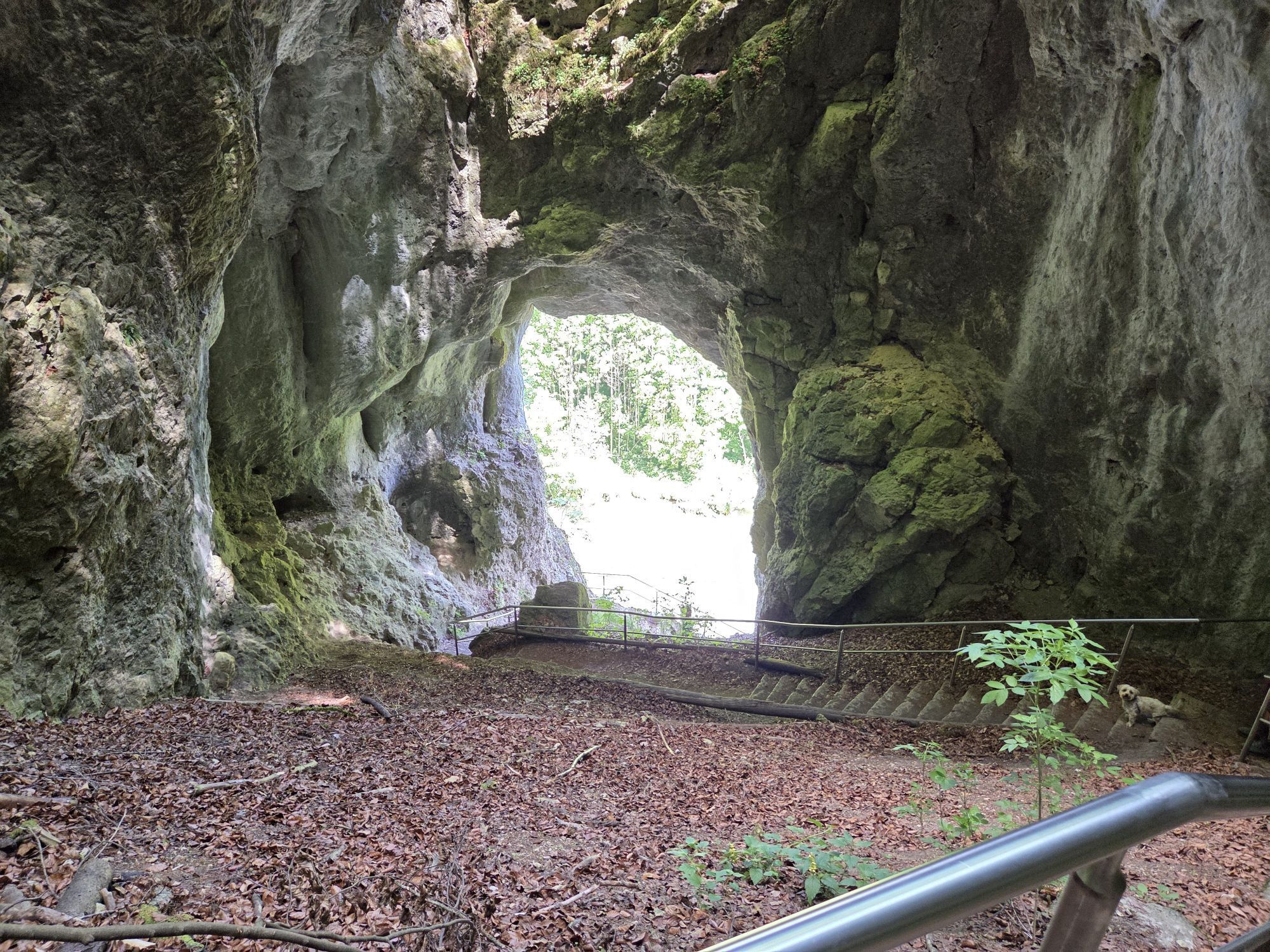

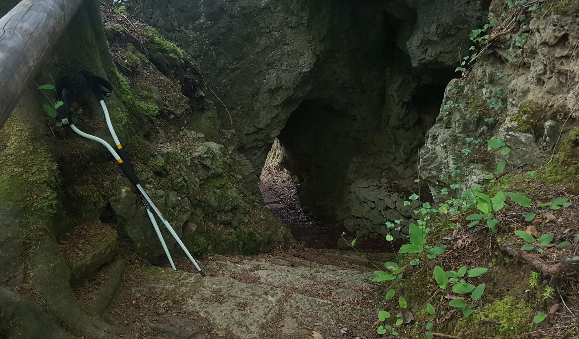
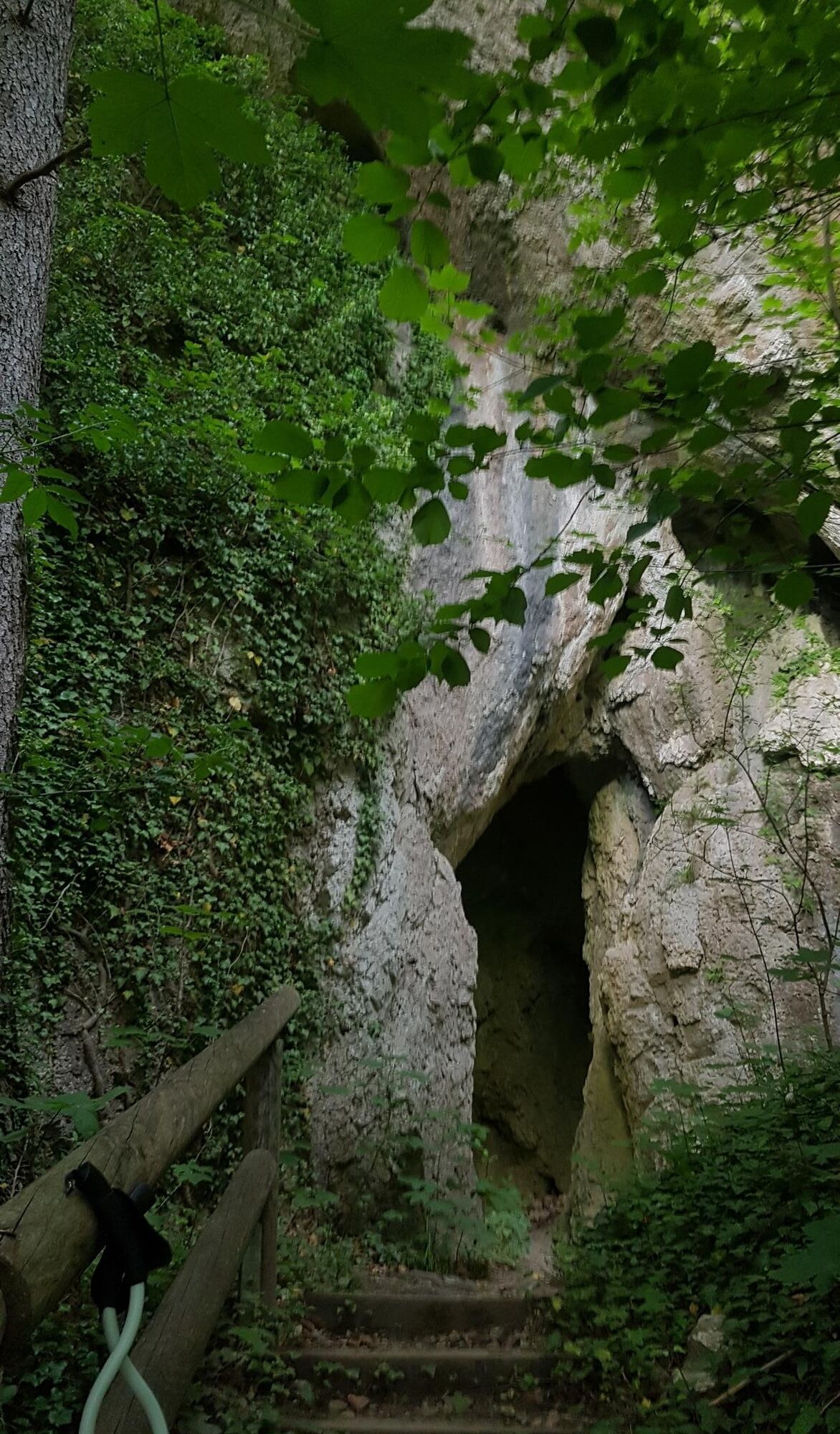
The highlights on this Fränki Swiss 100 stage are closely linked like pearls on a string: over a rocky serpentine path, the route continues on the Frankenweg sometimes through the "Hollow Mountain" – into...
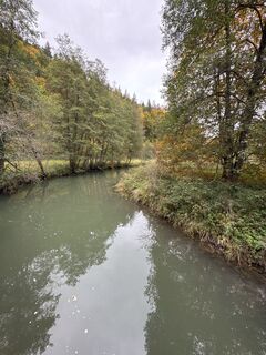
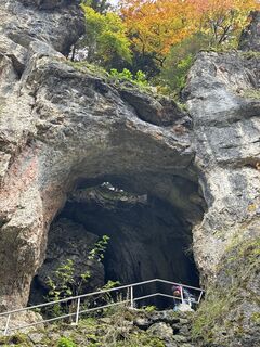
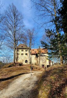
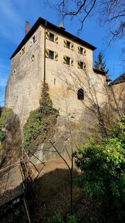
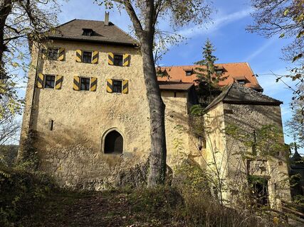
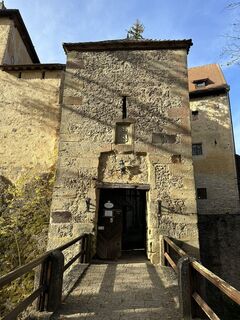
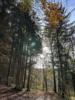
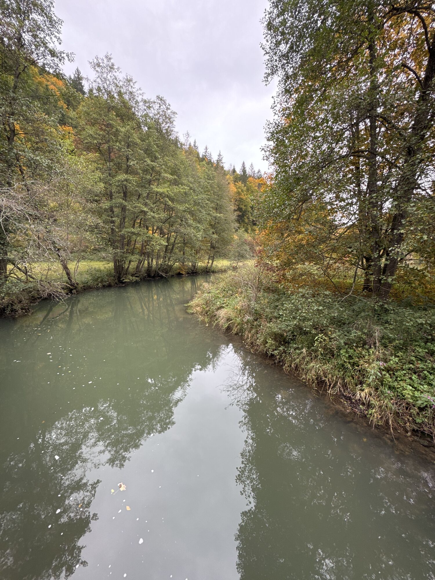
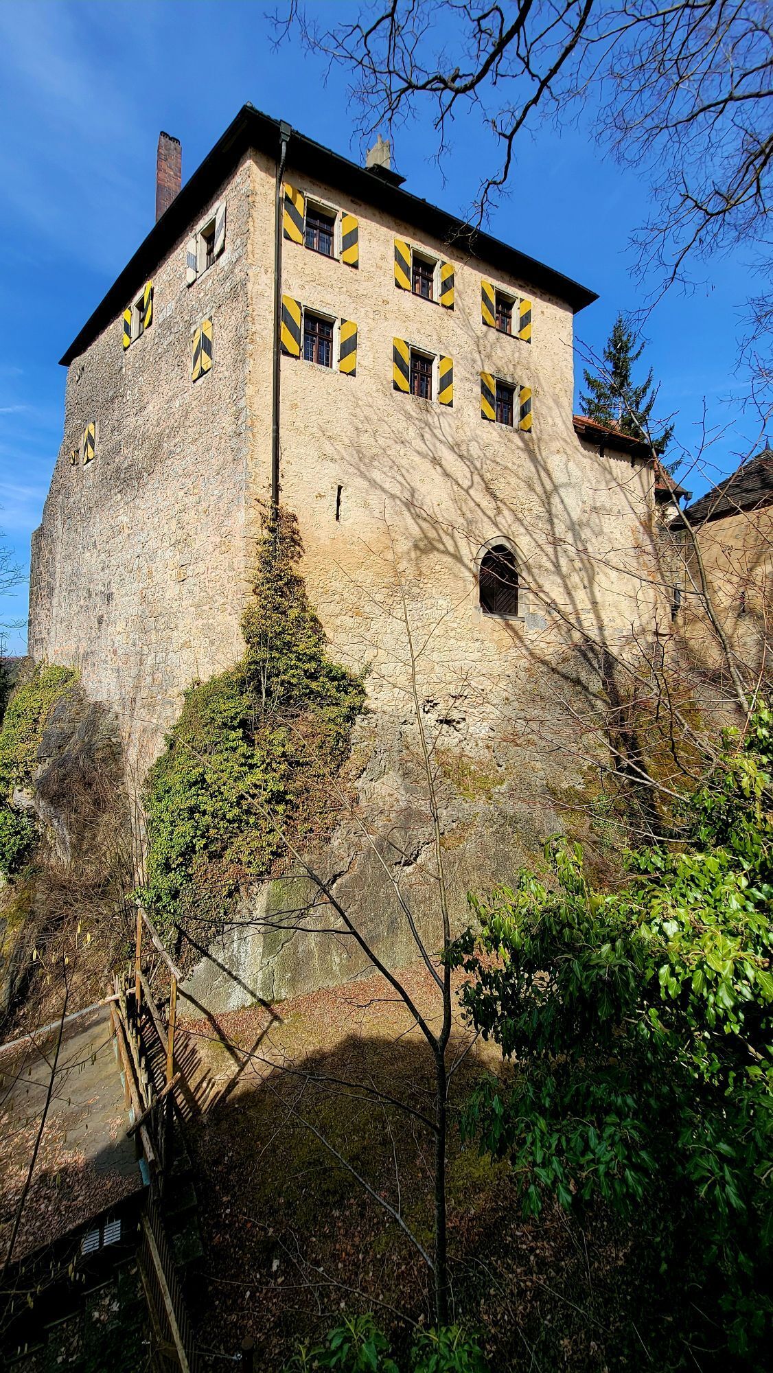
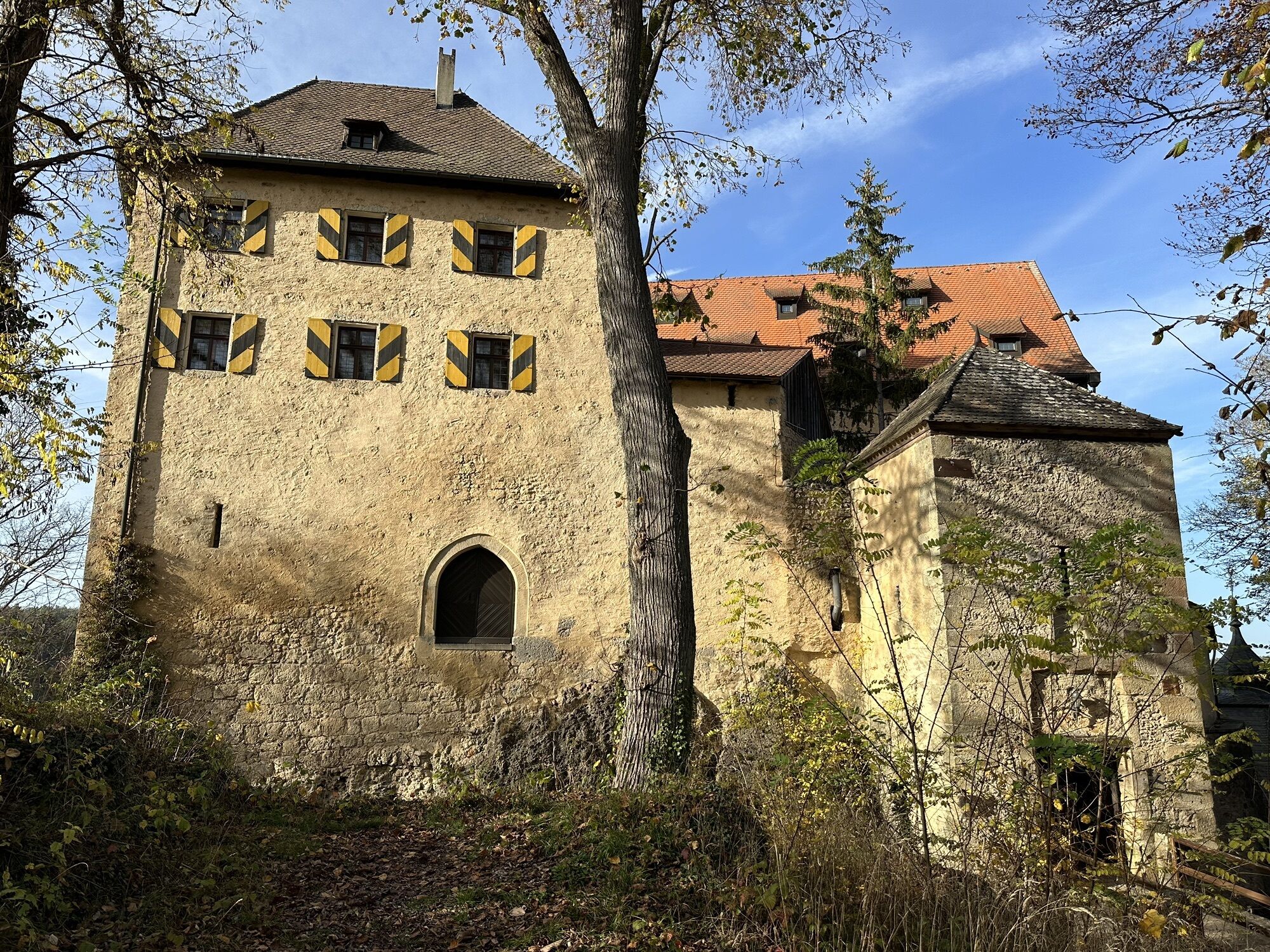
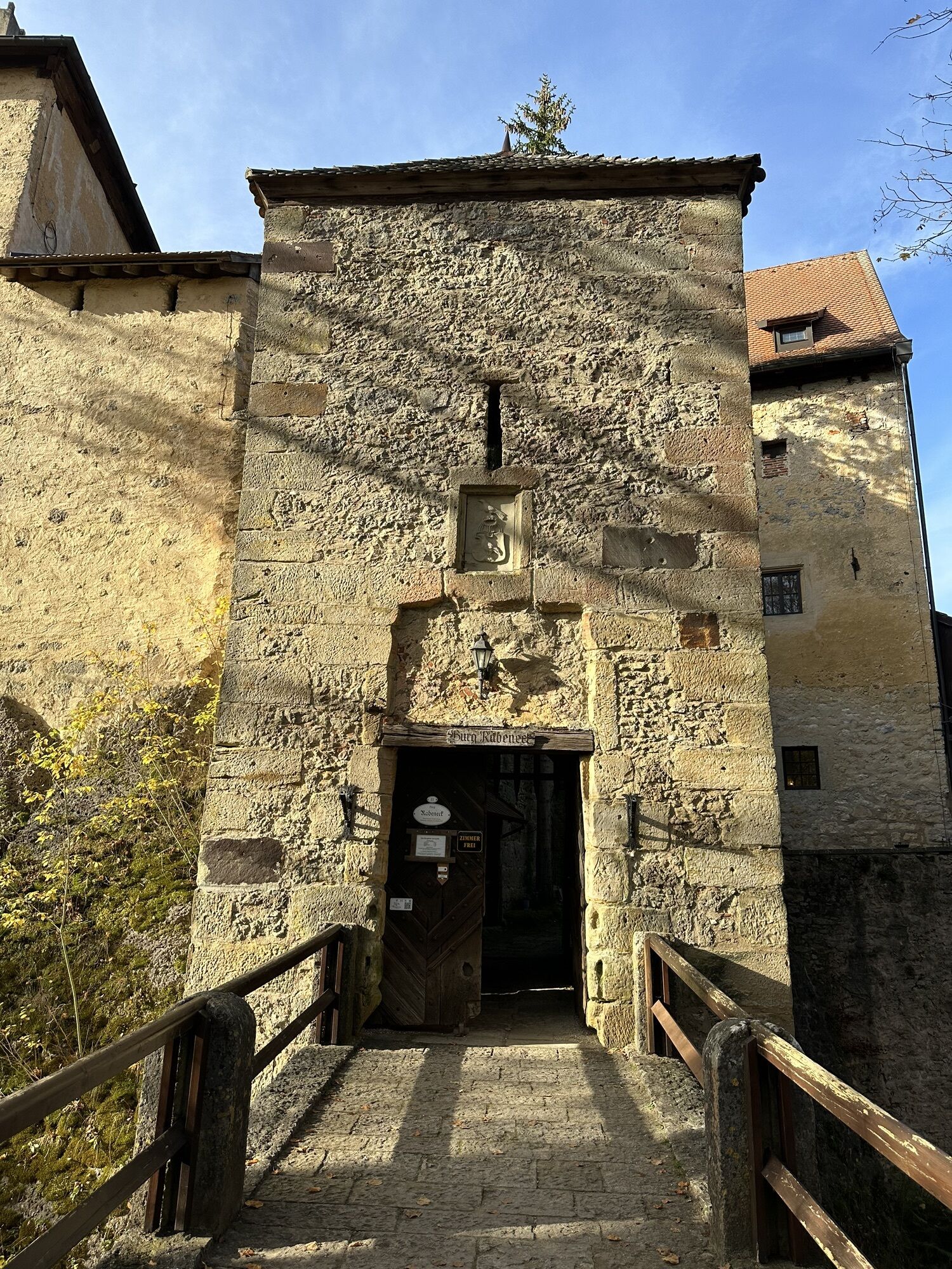
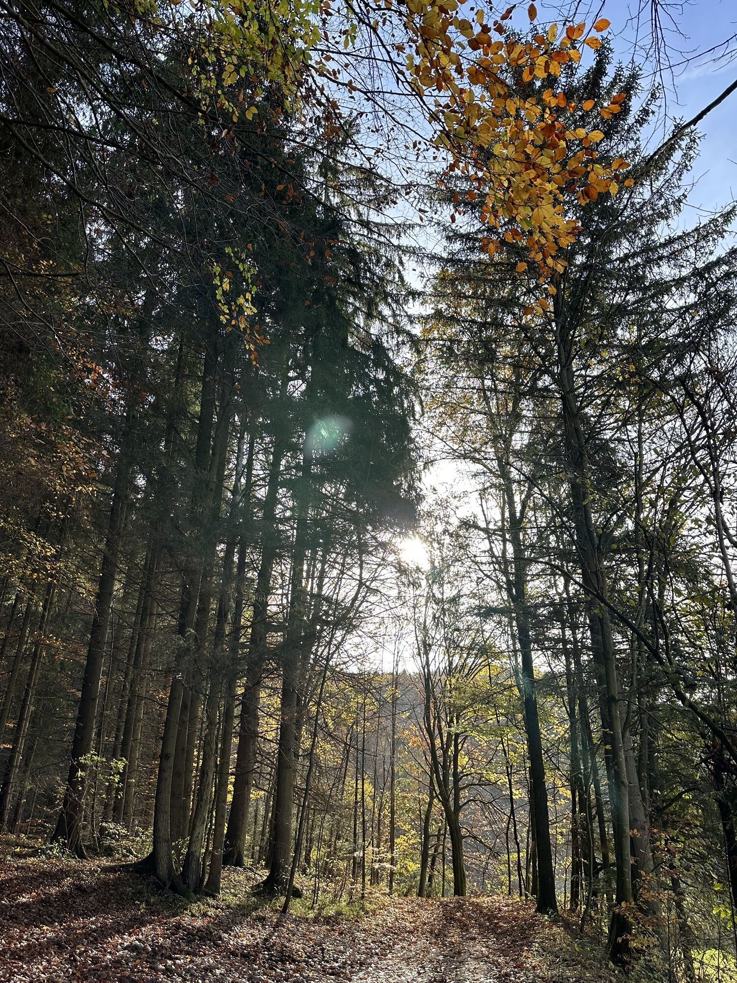
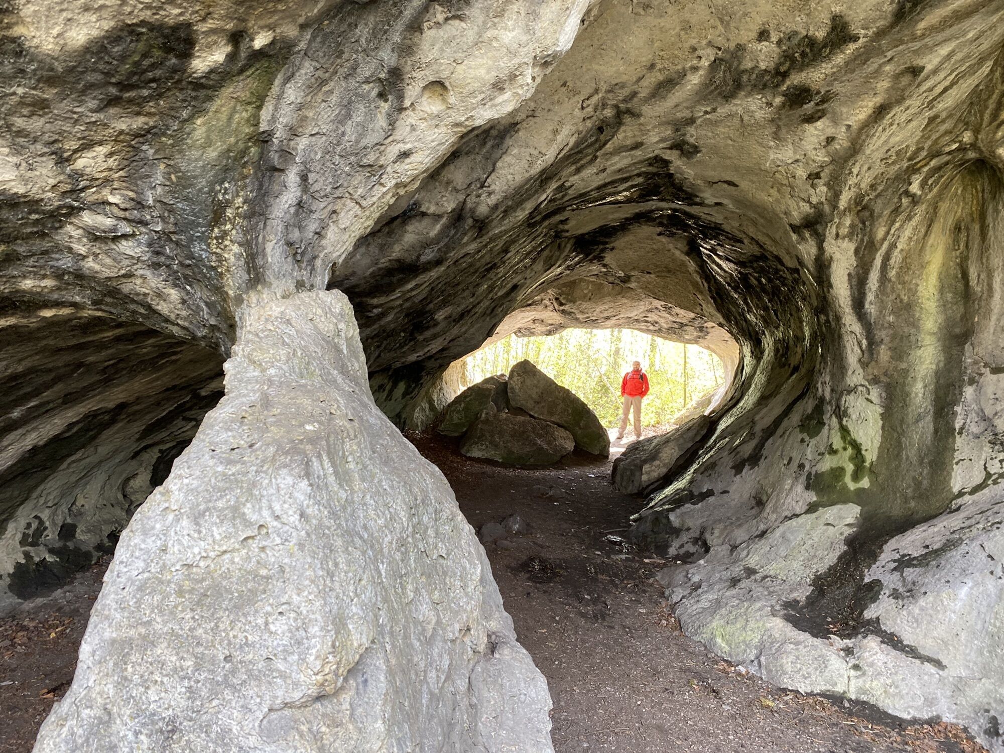
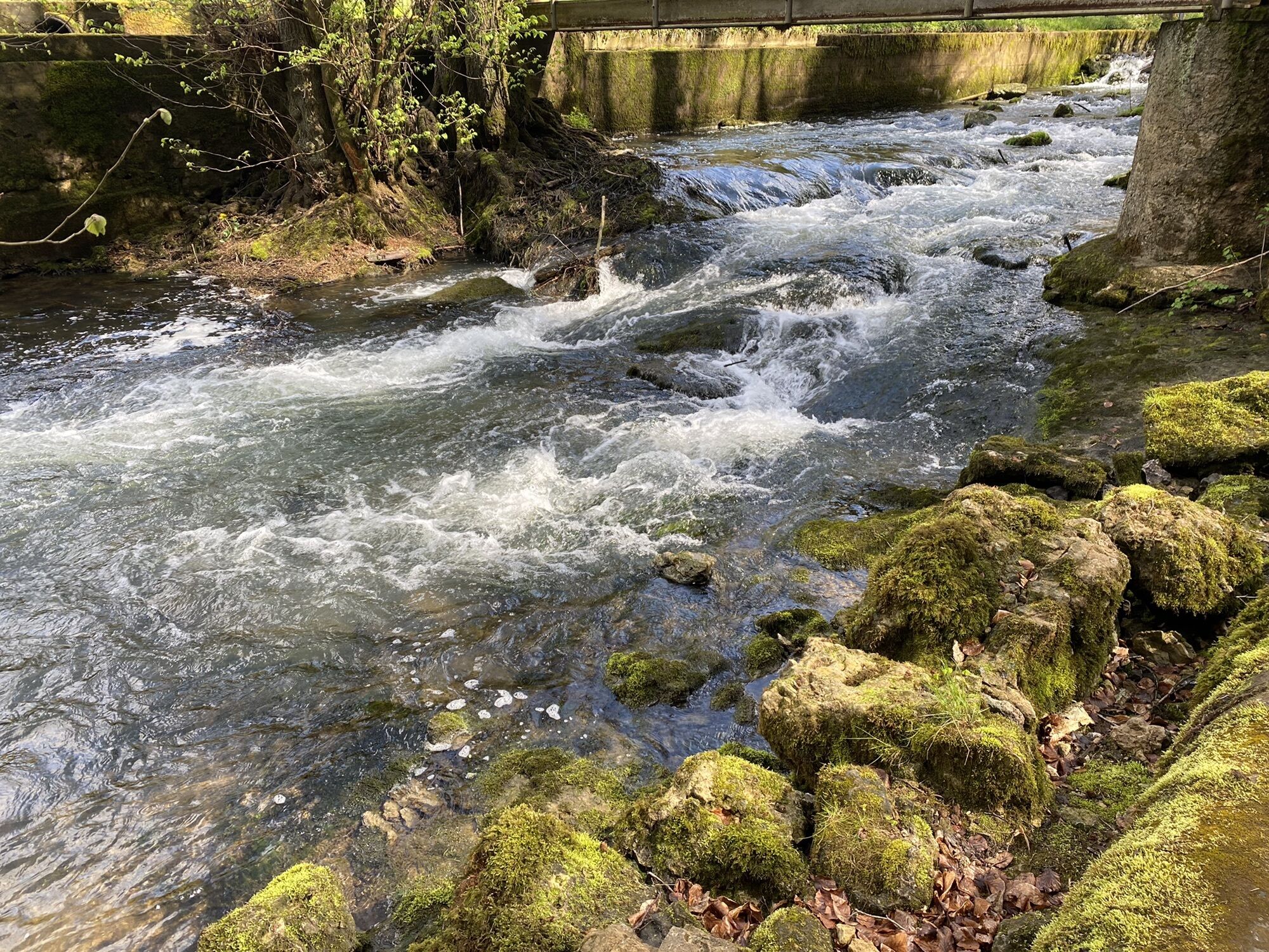
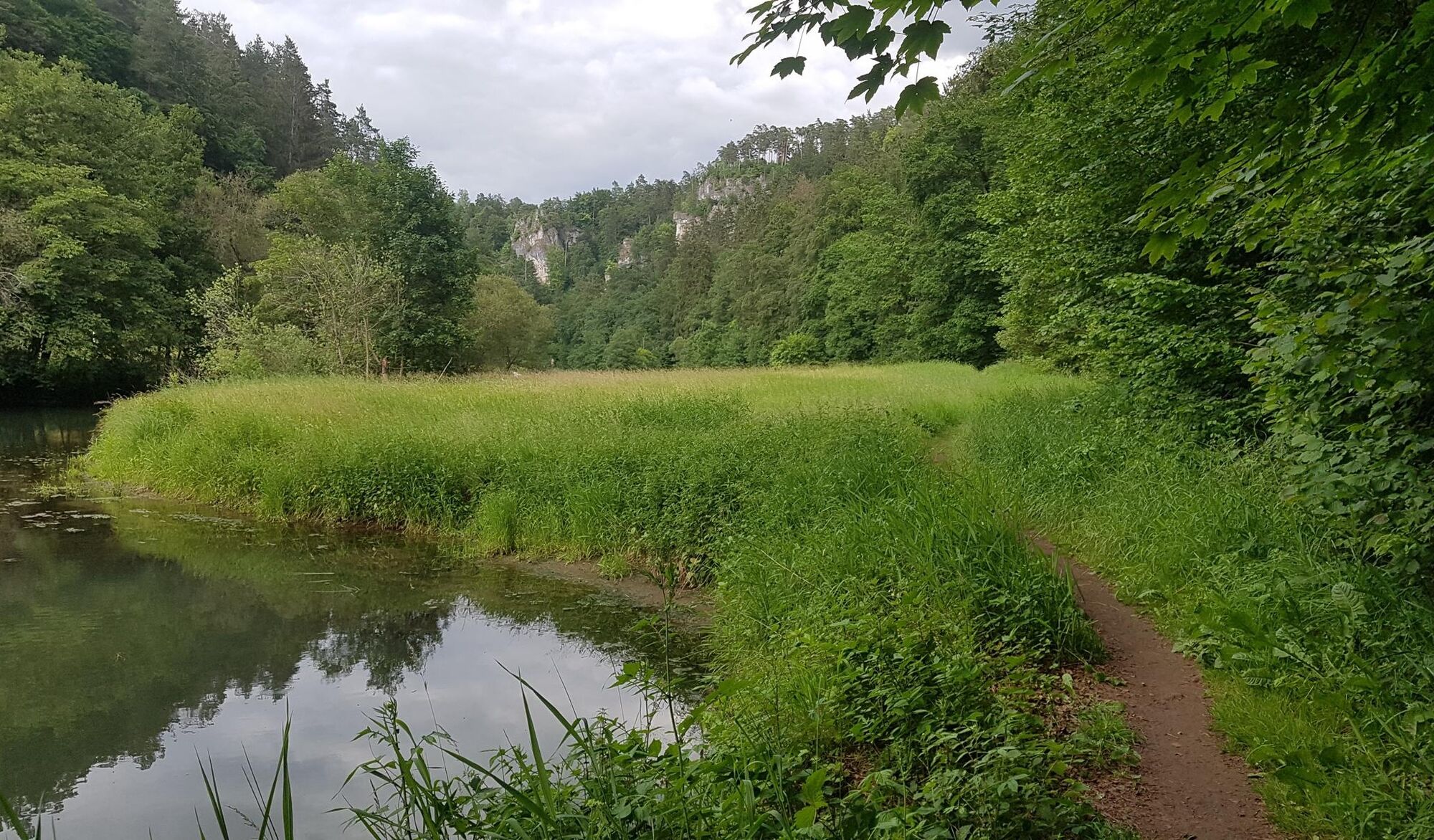
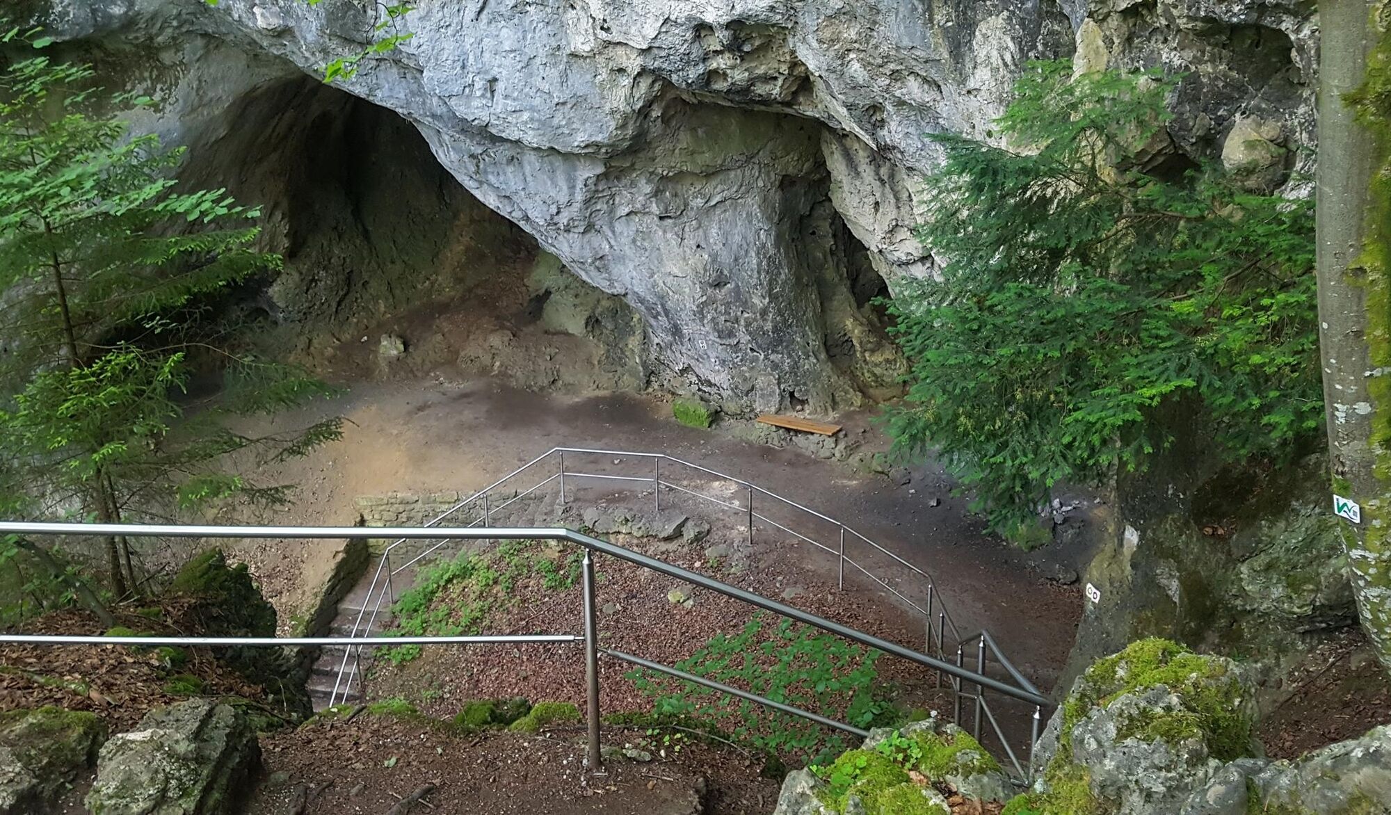
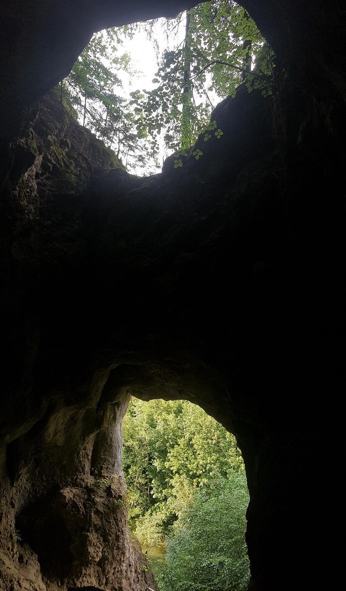
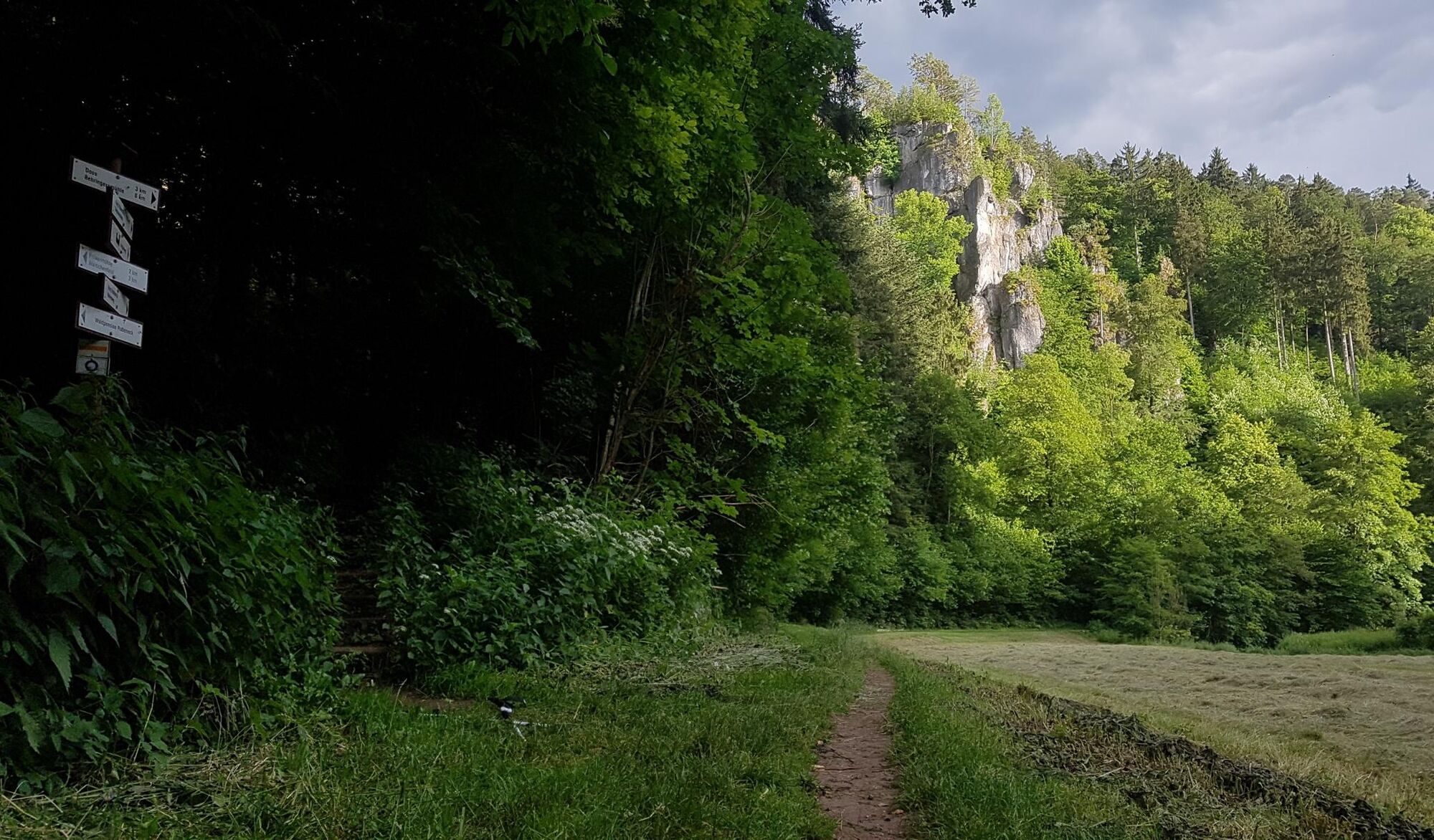
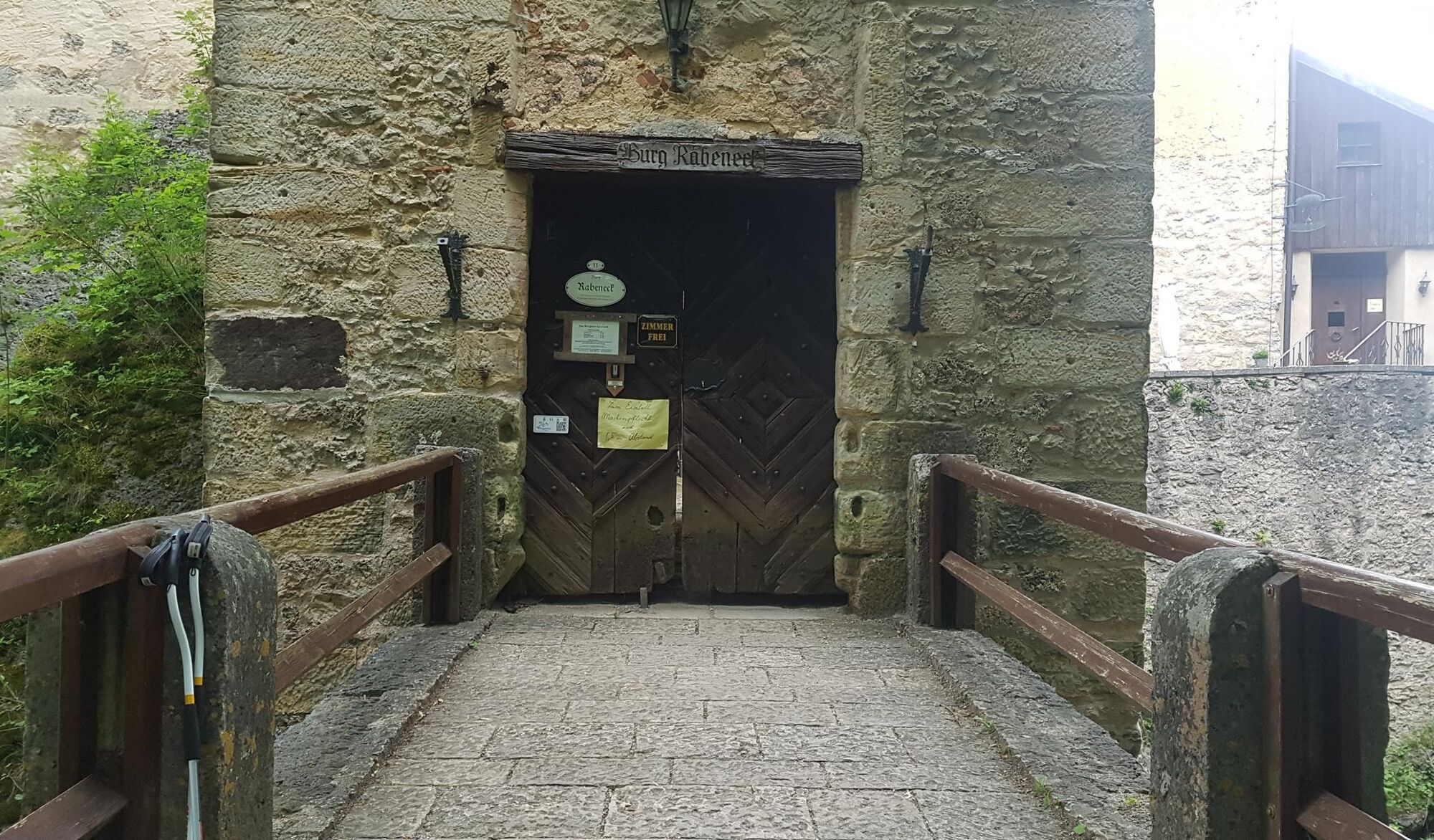
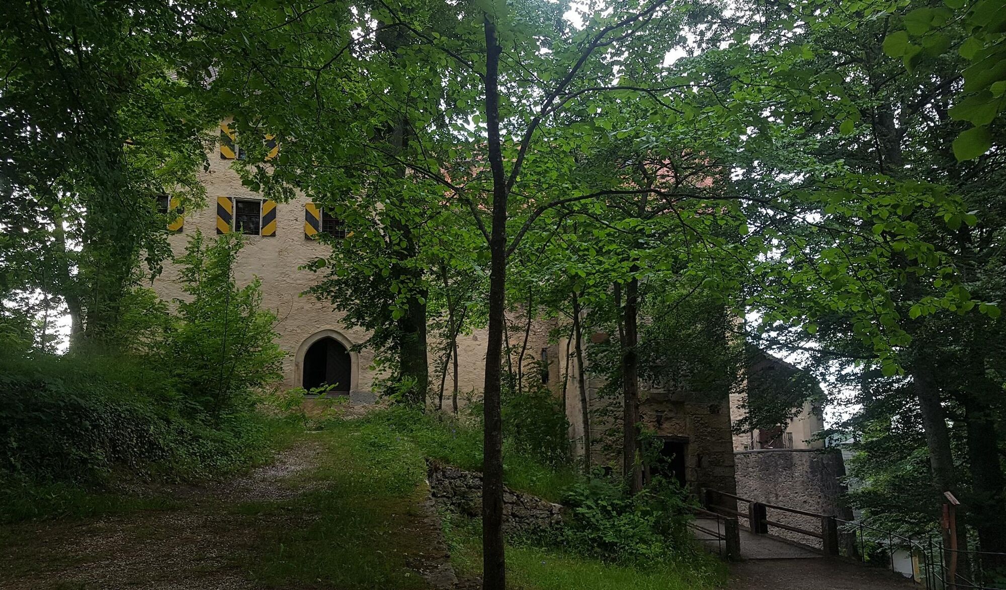
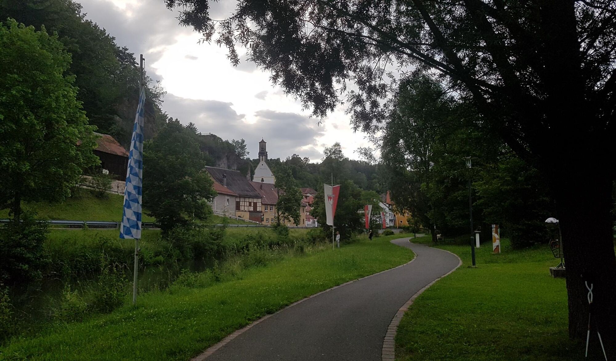
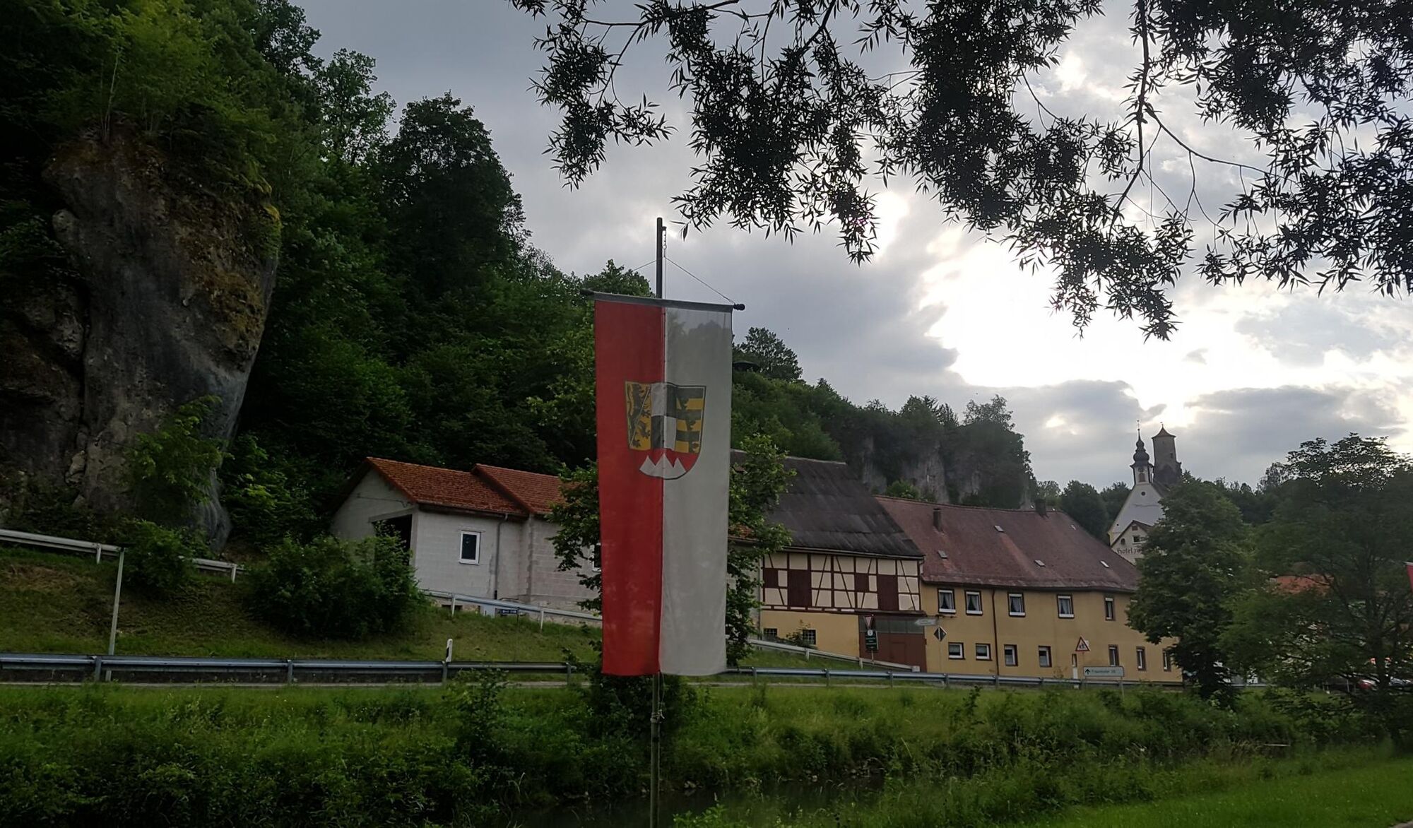
The highlights on this Fränki Swiss 100 stage are closely linked like pearls on a string: over a rocky serpentine path, the route continues on the Frankenweg sometimes through the "Hollow Mountain" – into the Oswaldhöhle. In the dark middle, (for grown-ups;) bending down is necessary. A 7up climb follows shortly after to the "Hohe Kreuz" with the 12-meter-high wooden observation tower. Steeply downhill, the route winds further to the gorge forest and again as a 7up climb to the next impressive rock formations: the cave ruin Quackenschloss, the (technically climbable;) rock needle Adlerstein. The idyllic mountain village Engelhardsberg is crossed, and already the next top geotope follows through the cave collapse Riesenburg during the descent. In the valley, the route changes to the other side of the river and follows the Wiesent to Burg Rabeneck. Up to the castle and back down to the Pulvermühle, very well known to literature enthusiasts, and leisurely further in the valley to Waischenfeld.

Kyllä
Kyllä
Shoes with good tread, poles helpful. Mobile phone light (or similar)
Partly steep ascents and descents on narrow paths! For cave crossing with a short dark passage, a mobile phone light is sufficient. Danger of slipping and falling in some steeper sections when wet!
With good visibility from the "Hohe Kreuz" a view over the northern "Franconian" up to the Ochsenkopf in the Fichtelgebirge. Later also once again from the Adlerstein.
Suosittuja retkiä naapurustossa
-
4,7
Ahorntal Burg Rabenstein
mediumVaellus 11,2 km -
2,0
Ronde Gössweinstein
valoVaellus 15,2 km -
Pottenstein - Hollenberg
valoVaellus 14,5 km -
3,0
Tüchersfeld - Rabenstein
mediumVaellus 18,0 km -
4,8
Muggendorf, Oswaldhöhle, Hohler Berg, Riesenburg, König-Ludwig-Felsen, sehr schöne fränkische Rundtour
mediumVaellus 14,5 km -
3,0
Idylle ganz ohne Verkehr
mediumVaellus 12,4 km -
5,0
Tour durch Ailsbachtal von Oberailsfeld
valoVaellus 8,96 km -
4,5
Ebermannsstadt Bayern. Zu den Aussichtspunkten Burgruine Neideck + Zuckerhut.
valoVaellus 13,6 km -
3,5
Brauereienweg Aufseß
valoVaellus 13,8 km -
5,0
Aufseß Burgtour
valoVaellus 14,7 km

Vaellus & jäljitys


Älä jää paitsi tarjouksista ja inspiraatiosta seuraavaa lomaasi varten.
Sähköpostiosoitteesi on lisätty postituslistalle.