


Stadlberg round Hausham
Vaikeustaso: 3


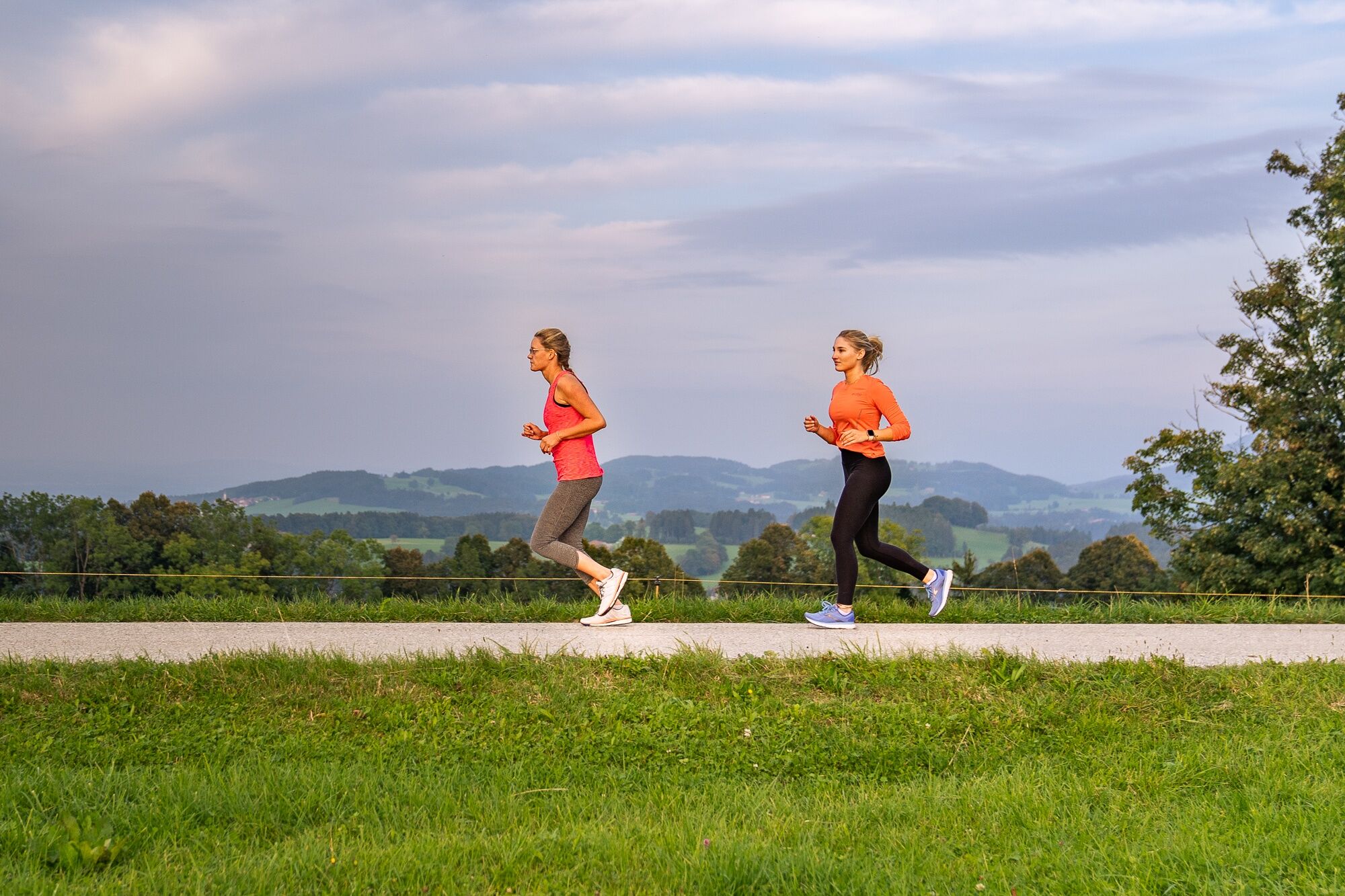
This demanding round first leads through Hausham and further via Althausham to Attenberg. From here begins a constant up and down: first through a small river valley, then up to Stadlberg with a great...
This demanding round first leads through Hausham and further via Althausham to Attenberg. From here begins a constant up and down: first through a small river valley, then up to Stadlberg with a great view of the Alpine foothills as well as the Alps. From the highest point it first goes downhill to Agatharied and then along the Schlierach back to the starting point in Hausham.
The 'Miesbach Hausham Running Park' is funded by the Bavarian State Ministry for Food, Agriculture and Forestry and the European Agricultural Fund for Rural Development (ELER). The opening will take place in autumn 2022.


After starting at the Volksfestplatz, we first run along Naturfreundestraße until the Kreuzweg branches off to the left. We follow this narrow path to Langeckerstraße and past Florian's bakery to Schlierseer Straße. This, like the railway line, is crossed by an underpass, and then we turn right through the Haldensiedlung and briefly along the main road to the junction to Althausham. Here we turn left and stay on the small and less trafficked road, which gently ascends to Attenberg. At a junction, we turn left towards Attenberg. We follow this road until it turns into a hiking trail leading down to Dickgraben. We cross this and after some ups and downs reach your street. We cross this and follow behind the guardrail parallel to the road to the left (attention: car traffic) and soon steeply uphill to the right. We run this small street steeply uphill to the highest point of Stadlberg with a great view in all directions. There we turn left onto the hiking trail towards Stadlbergalm, soon passing the summit cross and running down the beautiful trail to Stadlbergalm. Past the alpine pasture we continue downhill past Berghof to the Agatharied hospital. There we turn left through the hospital grounds to a pedestrian traffic light over the B307. We cross this and continue to Agatharied station, cross Fehnbachstraße and follow the hiking and cycling path Schlierach uphill to Kasten. Here we turn right onto a gravel path and follow it further across open fields. Shortly before the path reaches the residential area, we turn left onto a small footpath that leads us along the tennis and football fields as well as the school to Agatharieder Weg. We then go right and slightly uphill to cross Tegernseer Straße. After crossing, we follow Schlierachstraße back to the starting point at Volksfestplatz.
Those who want to connect the different routes of the running park can follow Stadlbergstraße from Stadlberg to Miesbach and soon reach the running park network of Miesbach!
Running shoes and equipment, possibly a drink
All information without guarantee. Walking and cycling on the tours described here is at your own risk.
A8 to Weyarn exit, via state road 2073 and B307 to Hausham
Bavarian Regiobahn (BRB) trains run hourly from Munich to Hausham. Since the jogging route runs directly past the station, the run can also start from there.
Here you can find the current timetable information.
Car park at Volksfestplatz Hausham
3
The 'Miesbach Hausham Running Park' is funded by the Bavarian State Ministry for Food, Agriculture and Forestry and the European Agricultural Fund for Rural Development (ELER). The opening will take place in autumn 2022.
Suosittuja retkiä naapurustossa
-
4,8
Breitenstein
mediumVaellus 9,13 km -
4,0
Von der Kistenwinterstube zum Risserkogel
mediumVaellus 10,4 km -
4,0
Jägerkamp und Benzingspitze
mediumVaellus 8 km -
4,7
Wendelstein
mediumVaellus 11,2 km -
5,0
Durch den Pfanngraben auf die Rotwand
mediumVaellus 18,4 km -
4,8
Brecherspitze
mediumVaellus 14,5 km -
4,5
Brecherspitz-Runde auf dem Normalweg Schliersee, Bayern
mediumVaellus 11,3 km -
4,6
Aueralm/Zwerglberg
mediumVaellus 11,9 km -
4,2
Aueralm and Fockenstein
raskasVaellus 14,8 km -
4,0
Tegernsee Höhenweg - North
valoVaellus 12,3 km

Vaellus & jäljitys


Älä jää paitsi tarjouksista ja inspiraatiosta seuraavaa lomaasi varten.
Sähköpostiosoitteesi on lisätty postituslistalle.