


Alpbachtal route (terrain therapy path)
Vaikeustaso: 6


Long circular route with flat, moderate, and steep ascents totaling 302 meters. Average energy consumption: approximately 500 kcal
Requirements due to climate: medium
Path with strongly varied climatic...
Long circular route with flat, moderate, and steep ascents totaling 302 meters. Average energy consumption: approximately 500 kcal
Requirements due to climate: medium
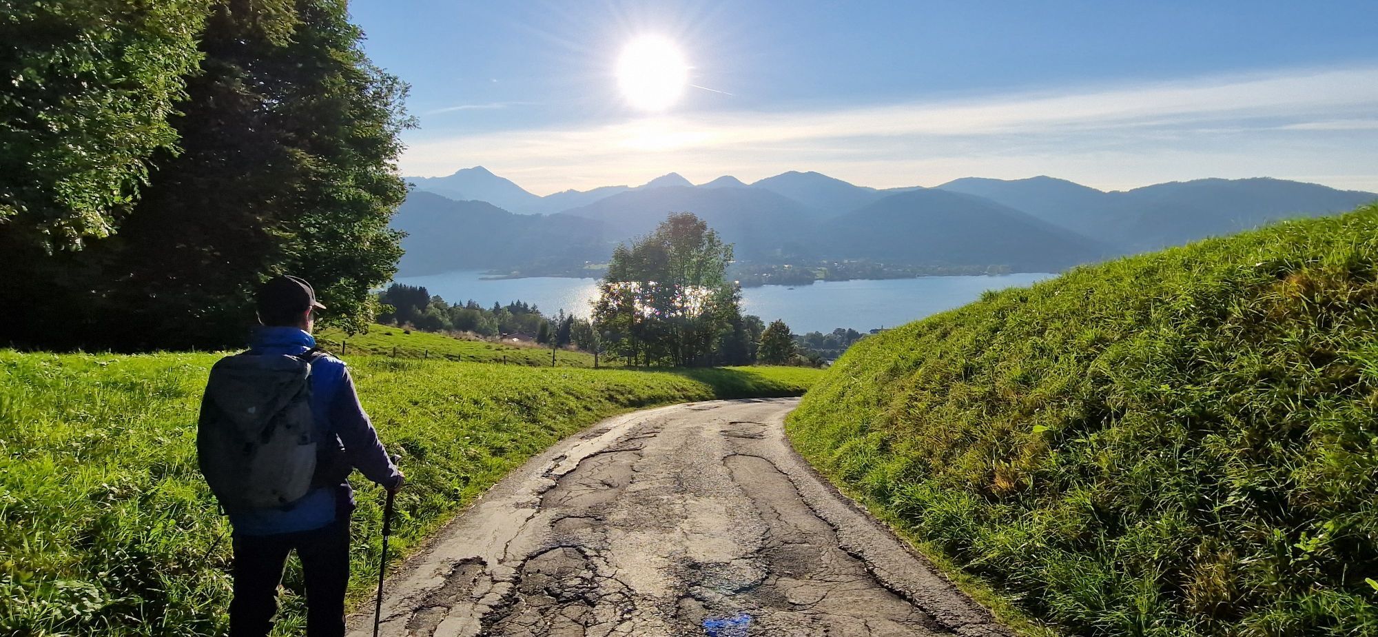
Path with strongly varied climatic stimuli. There are dampened stimuli on the wooded path along the Alpbach, but clearly more intense stimuli on the higher open areas exposed to sun and wind.
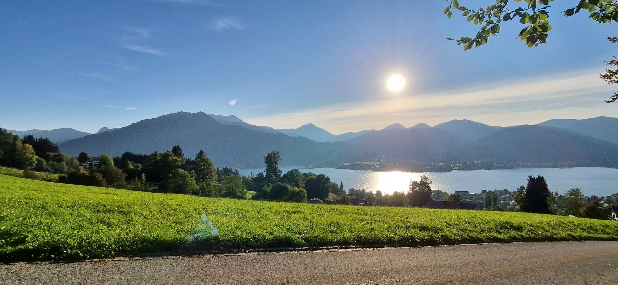
The terrain therapy path was physiologically and bioclimatically examined by the German Weather Service. On this medium to difficult route, the body is stimulated by increased solar radiation, climate changes, and high energy demand. Terrain therapy is a gentle form of exercise therapy and part of the climate therapy.

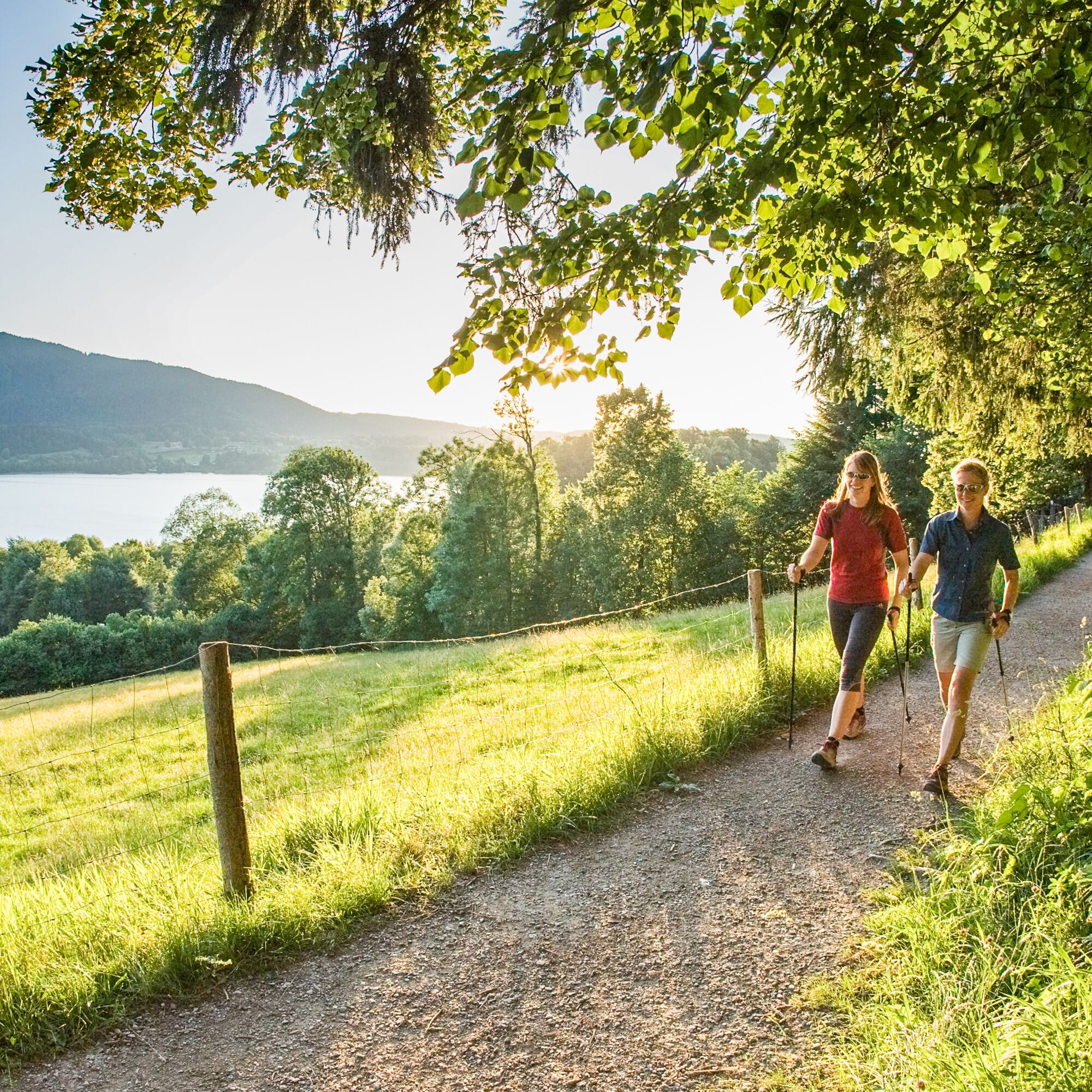


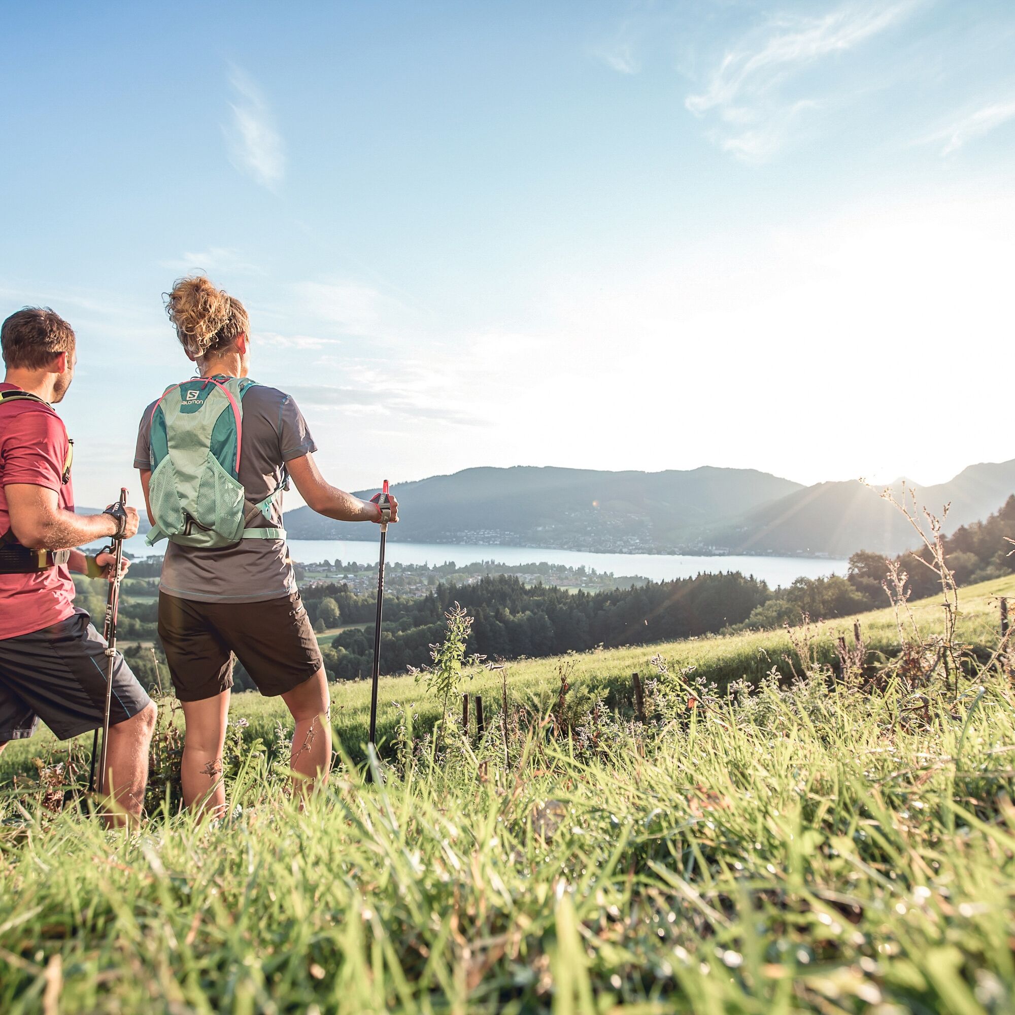
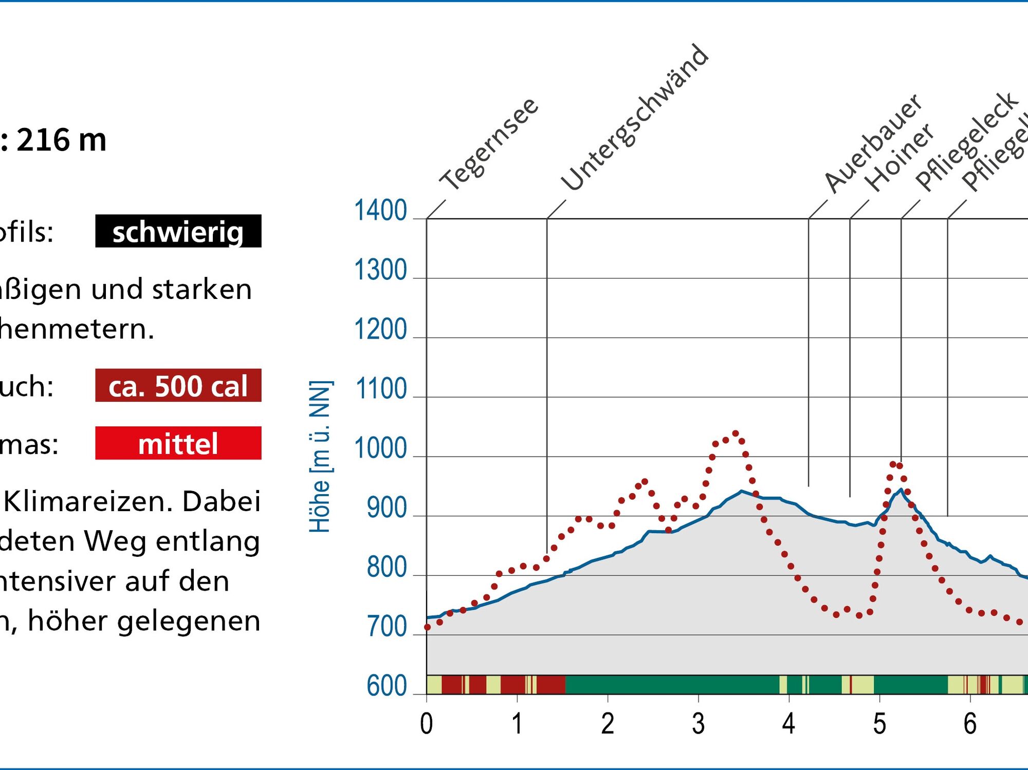
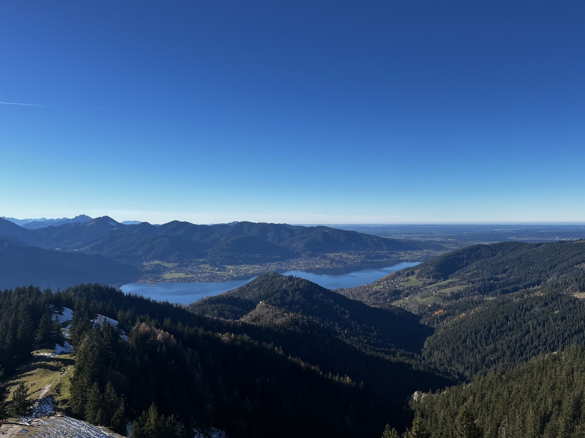
The route starts at the Tegernsee central car park. From there, path (585) leads to the Alpbachtal. Following the water, it goes deeper into the valley along the Prinzenweg and finally steadily uphill to Auerbauer and Hoiner on the right. Just before Pfliegeleck, path (586) leads down with a view of the lake, back to the Alpbach and to the starting point in the center of Tegernsee. The Nordic-Active route is marked with the number 5.
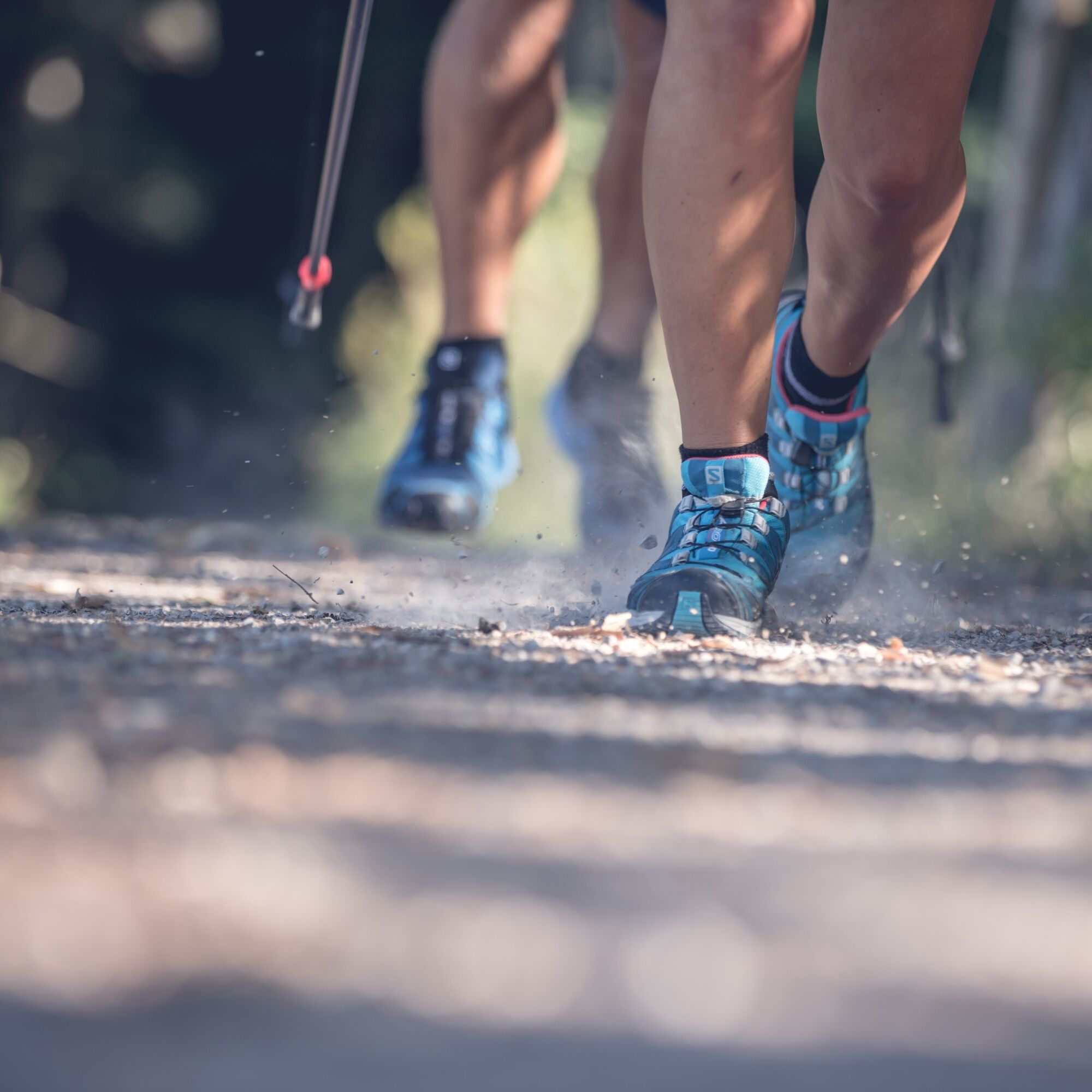
Sturdy footwear as well as weather-appropriate clothing, possibly a rain jacket, drinking bottle, poles, first aid pack.
All information without guarantee. Walking and driving on the described routes is at your own risk.
A8 to Holzkirchen exit, via B318 and B307 to Tegernsee
Take the MVV to Tegernsee.
Then take the bus one stop further to the Steinmetzplatz stop and walk in the direction of Kurpark to the central car park.
However, this can also be reached entirely on foot.
Tegernsee central car park (paid)
6
Suosittuja retkiä naapurustossa
-
4,0
Von der Kistenwinterstube zum Risserkogel
mediumVaellus 10,4 km -
4,0
Jägerkamp und Benzingspitze
mediumVaellus 8 km -
4,7
Leonhardstein
mediumVaellus 8,17 km -
4,6
Lengrieser Hütte
mediumVaellus 10,6 km -
4,6
Roß- and Buchstein, Tegernsee Hut
raskasVaellus 14,4 km -
5,0
Durch den Pfanngraben auf die Rotwand
mediumVaellus 18,4 km -
4,8
Brecherspitze
mediumVaellus 14,5 km -
4,5
Brecherspitz-Runde auf dem Normalweg Schliersee, Bayern
mediumVaellus 11,3 km -
4,6
Aueralm/Zwerglberg
mediumVaellus 11,9 km -
4,2
Aueralm and Fockenstein
raskasVaellus 14,8 km
Vaellus & jäljitys


Älä jää paitsi tarjouksista ja inspiraatiosta seuraavaa lomaasi varten.
Sähköpostiosoitteesi on lisätty postituslistalle.