


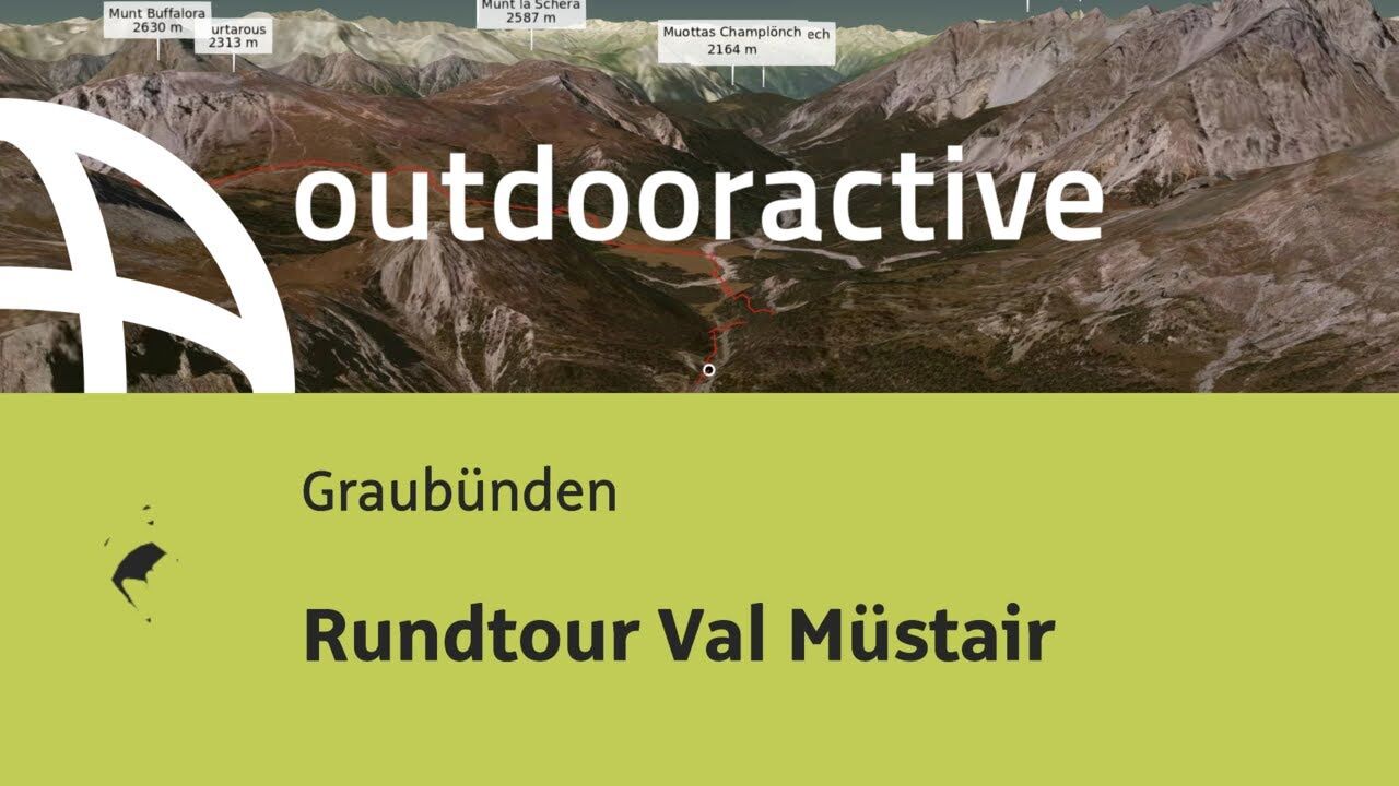
Val Müstair round trip


Kuvia käyttäjistämme
-
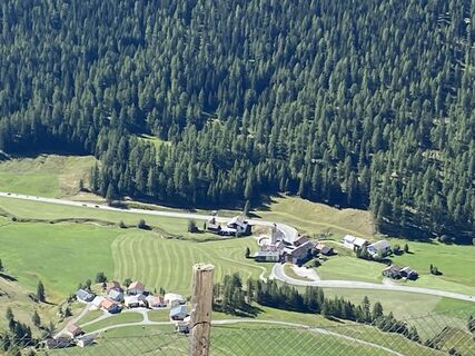
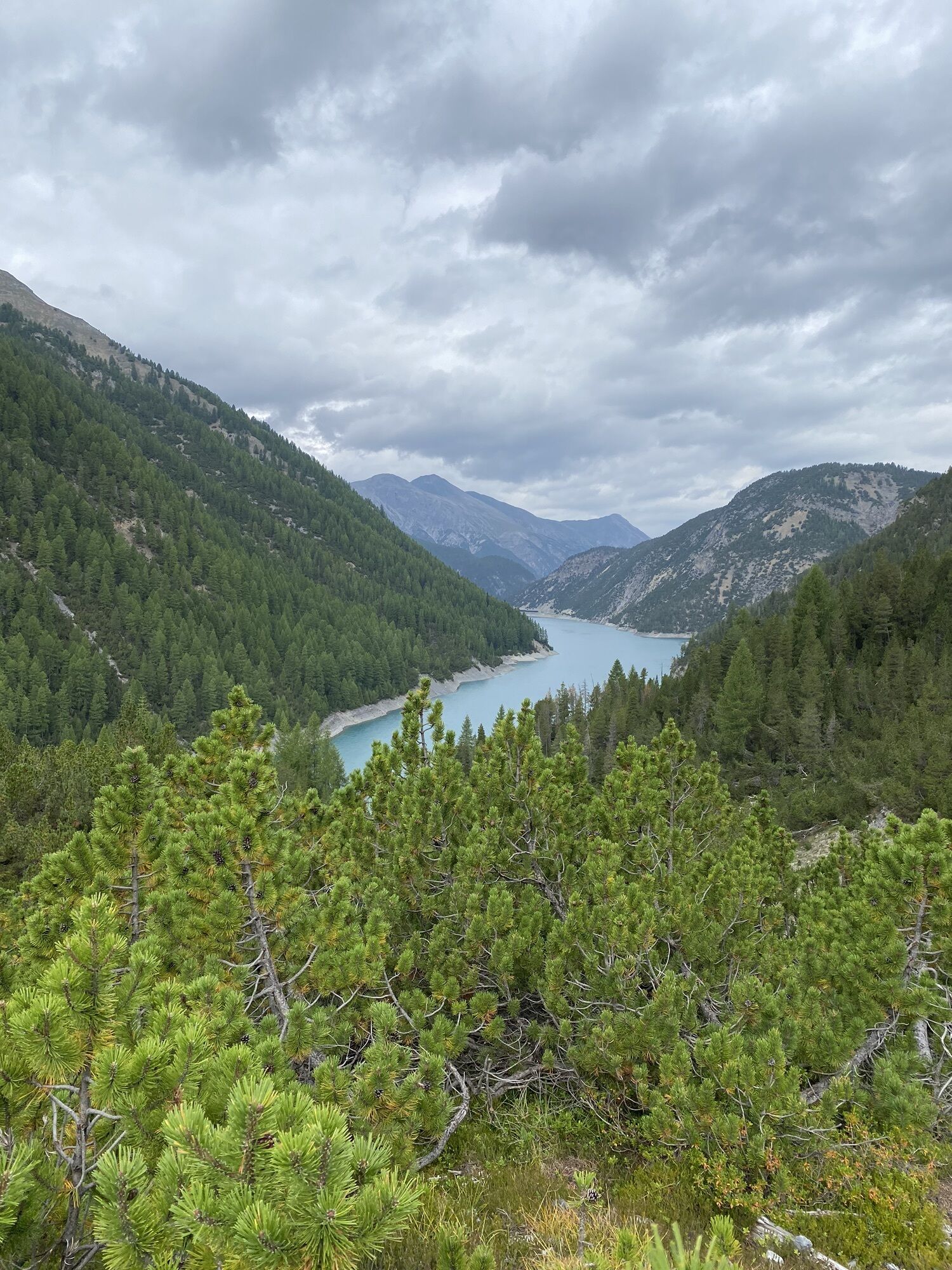
 © Daniel BulfoniLuotu 24.08.2022
 -
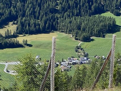
 © Daniel BulfoniLuotu 24.08.2022
 -

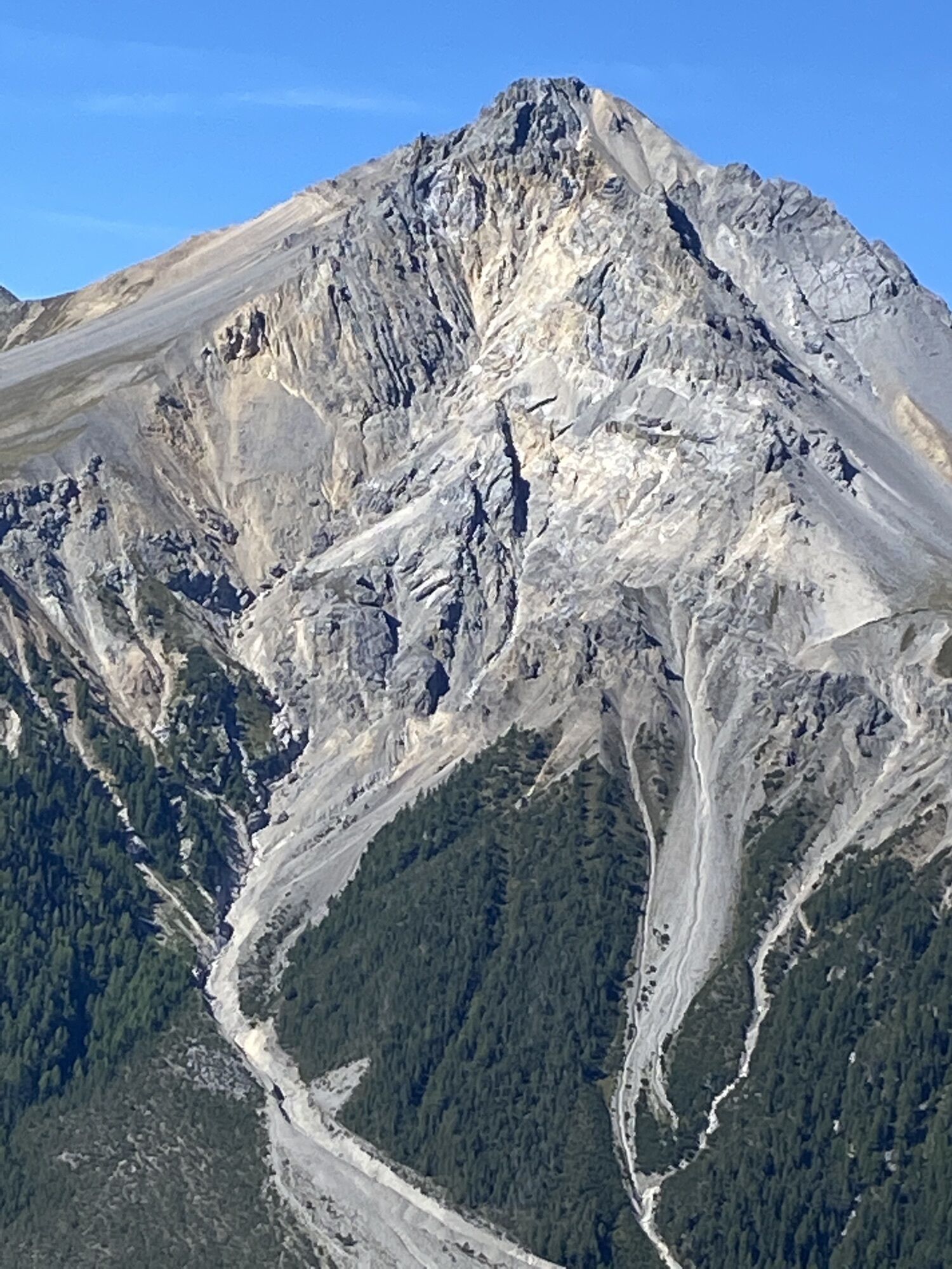
 © Grossmann EstherLuotu 04.09.2024
 -
 © Grossmann EstherLuotu 04.09.2024
 -
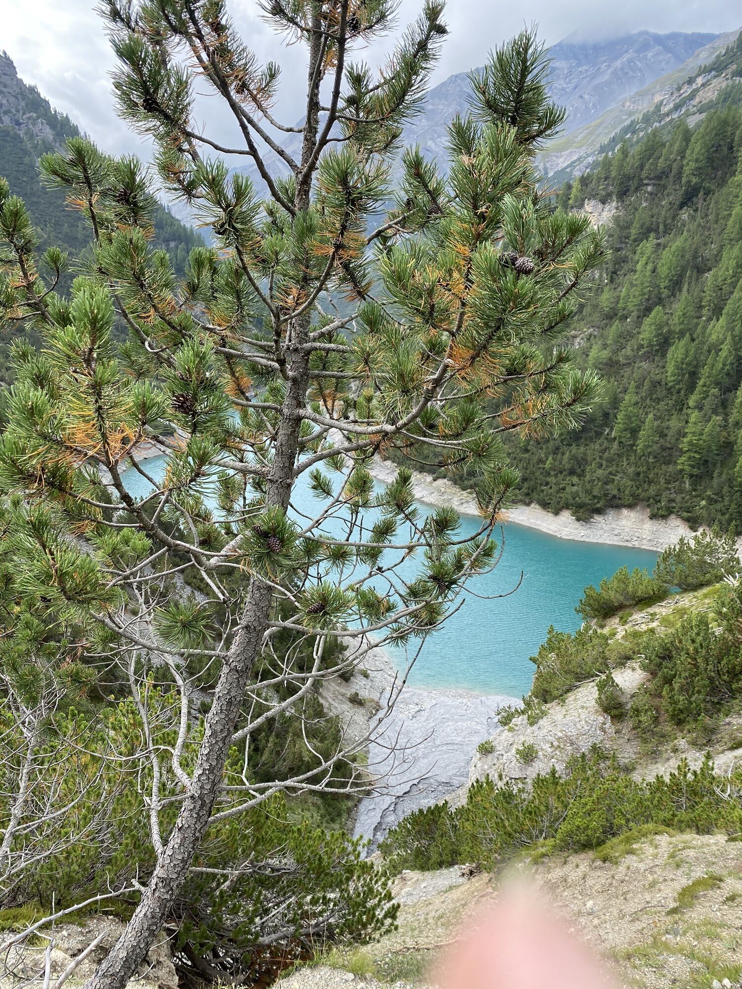
 © Gabriel LorenzLuotu 16.08.2023
 -
 © Gabriel LorenzLuotu 16.08.2023
 -
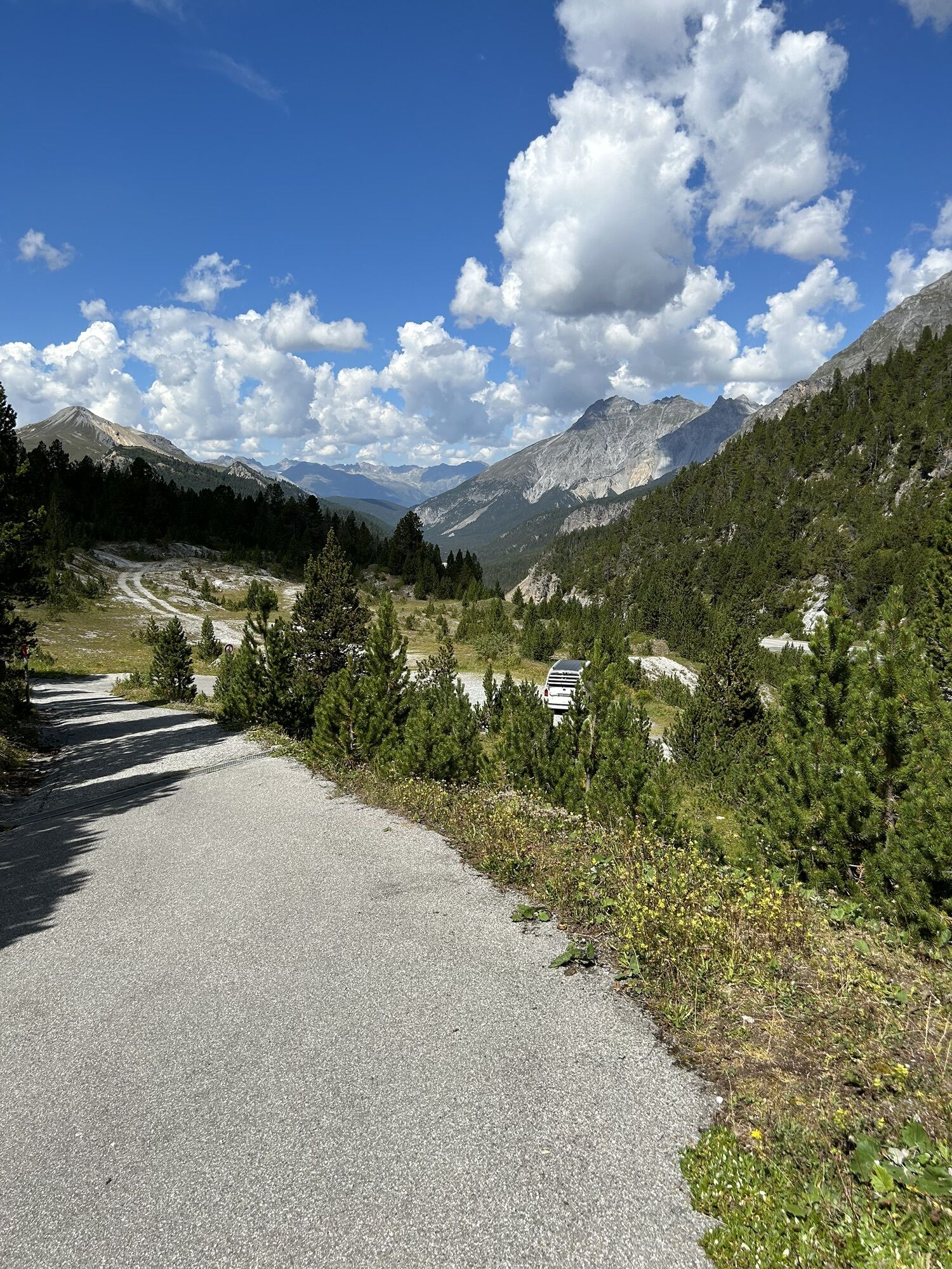
 © Daniel BulfoniLuotu 24.08.2022
 -
 © Daniel BulfoniLuotu 24.08.2022
 -
 © Daniel BulfoniLuotu 24.08.2022
 -
 © Daniel BulfoniLuotu 24.08.2022
 -
 © Daniel BulfoniLuotu 24.08.2022
 -
 © Daniel BulfoniLuotu 24.08.2022
 -
 © Daniel BulfoniLuotu 24.08.2022


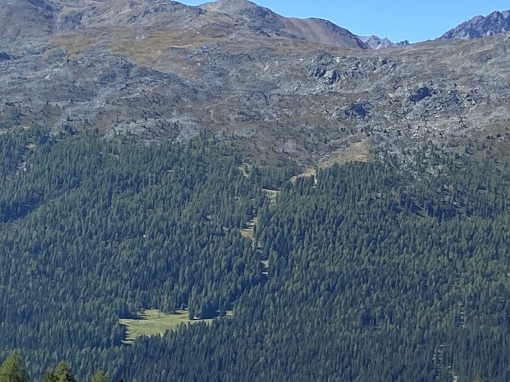


Immediately after the pass summit of the Ofenpass, the single trail leads to Buffalora, where the steep uphill climb to Juf Plaun begins. The plateau is the starting point for the single trail descent...
Immediately after the pass summit of the Ofenpass, the single trail leads to Buffalora, where the steep uphill climb to Juf Plaun begins. The plateau is the starting point for the single trail descent past the Alpe del Gallo and the wonderful high trail towards Passo di Fraéle. Shortly before, you branch off to the left, pass the Passo Val Mora, reach Val Mora via a prime single trail and climb up to Döss Radond. Here the long descent back to Sta. Maria is waiting for you. Follow the signposted mountain bike route, but take the single trail alternatives wherever possible. Once you reach the ridge far below, a single trail branches off to the right. This fun trail leads directly to the main road between Valchava and Sta. Maria - a real trail firework.
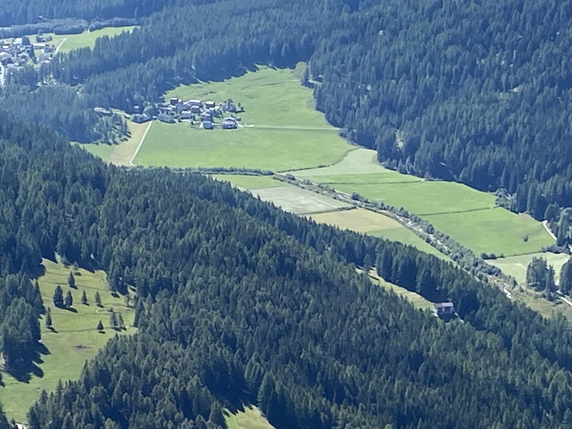
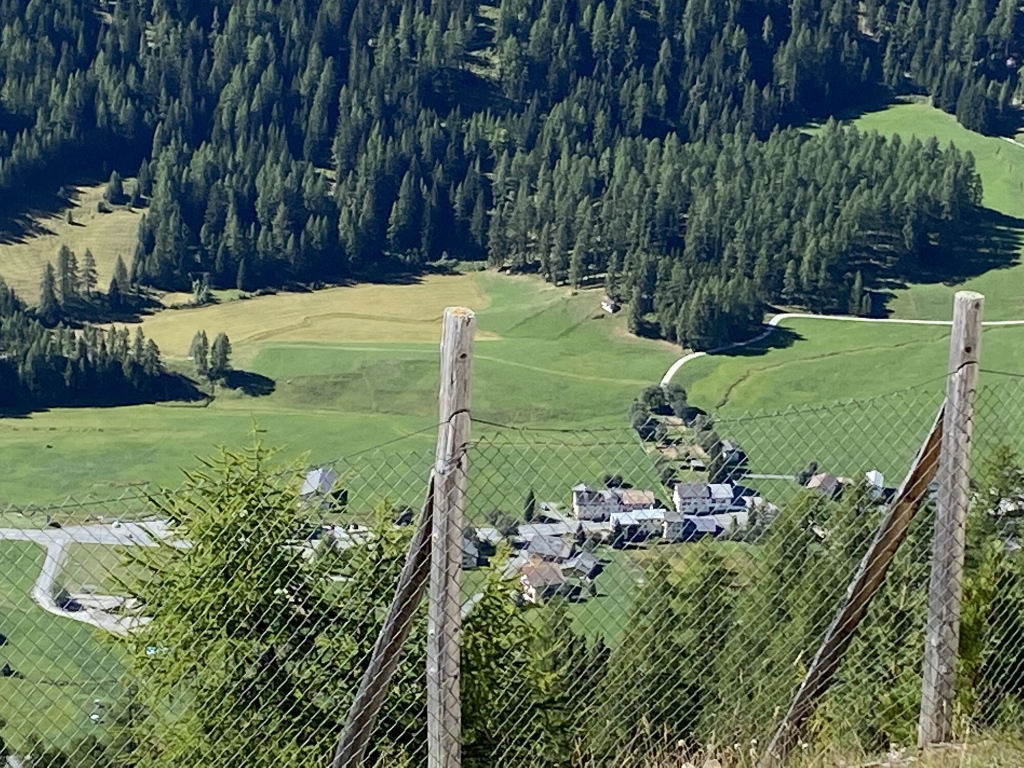
From Sta. Maria begins a long climb past Lü and Alp Champatsch, which is rewarded at the end with a super trail over the Alp da Munt to the Ofenpass.

Start at Süsom Givè 2149m - single trail to Buffalora - uphill to Juf Plaun - single trail downhill towards Passo di Fraéle - shortly before turn left and cross Passo Val Mora - follow single trail from Val Mora to Döss Rodond. Descent as far as Sta. Maria. Long ascent to Lü - direction Alp Champatsch - Alp da Munt until back to Ofenpass.
The tour was evaluated in favorable weather conditions, the current weather conditions and weather forecasts must be imperatively considered before the tour start.
This tour requires a great level of driving safety, balance and technical driving skills.
Emergency call:
144 Emergency call, first aid
1414 Mountain rescue REGA
112 International emergency call
Be considerate when crossing and overtaking hikers.The Graubünden mountain bike routes run for the most part on single trails that are also signaled as hiking trails. Hikers always have the right of way.
From the north: via Landquart - Klosters by car transport through the Vereina tunnel (Selfranga - Sagliains) or via the Flüela pass and the Ofen pass to the Ofen pass summit (Süsom Givè).
From the east: via Landeck / Austria in the direction of St. Moritz on H27 to Zernez and then over the Ofenpass to the Ofenpasshöhe (Süsom Givè).
From the south: via Reschenpass (Nauders-Martina) through Val Müstair over the Ofenpass to the Ofenpasshöhe (Süsom Givè).
With the Rhaetian Railway (from Chur, Landquart/Prättigau or from the Upper Engadine) hourly to Zernez station. With the PostBus (from Zernez) hourly to the PostBus stop Süsom Givè (pass summit).
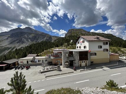
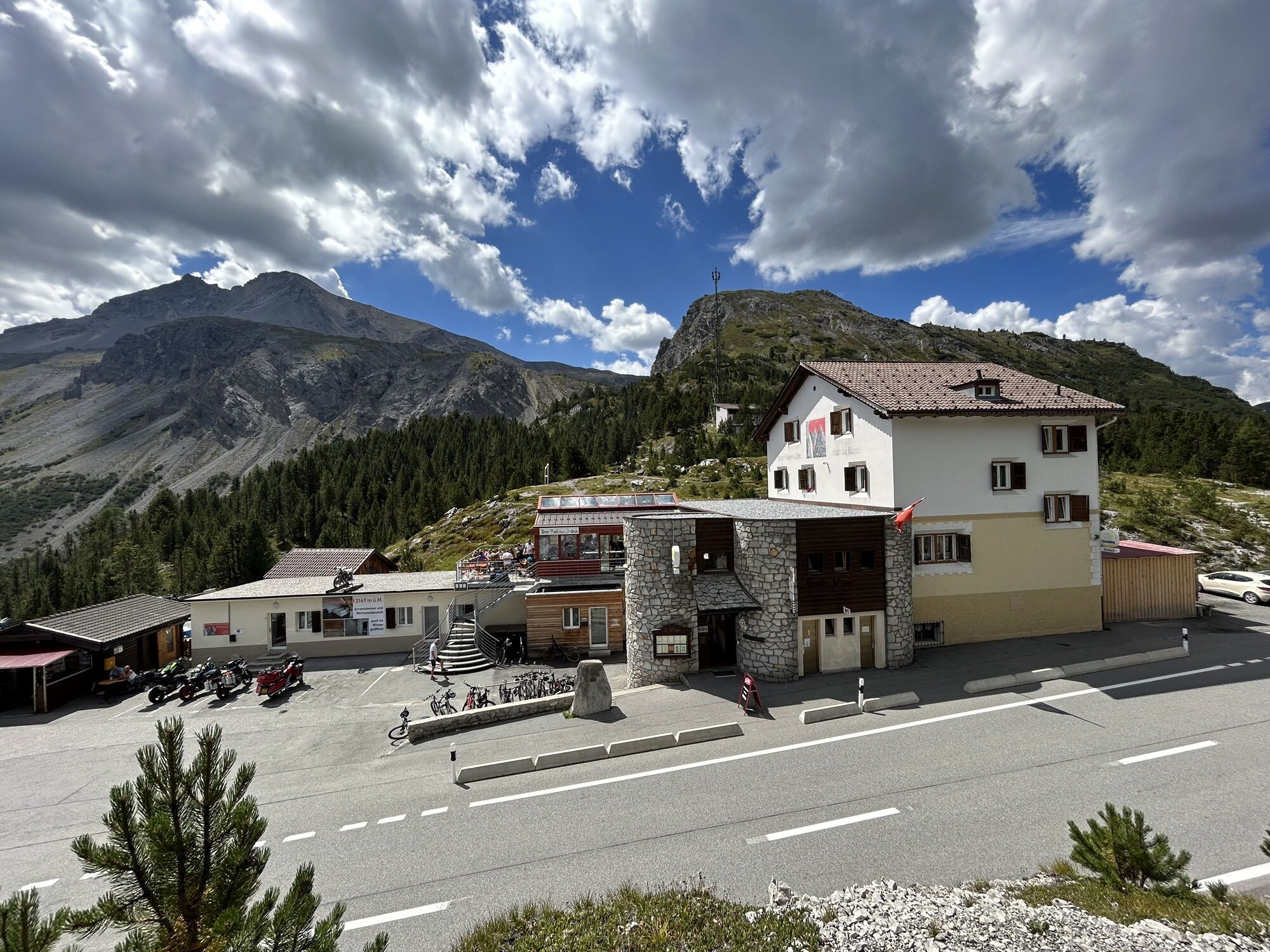
Free parking on Süsom Givè by the hotel Süsom Givè.
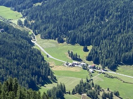
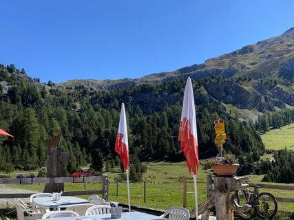
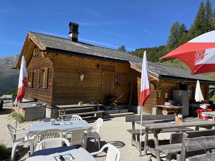
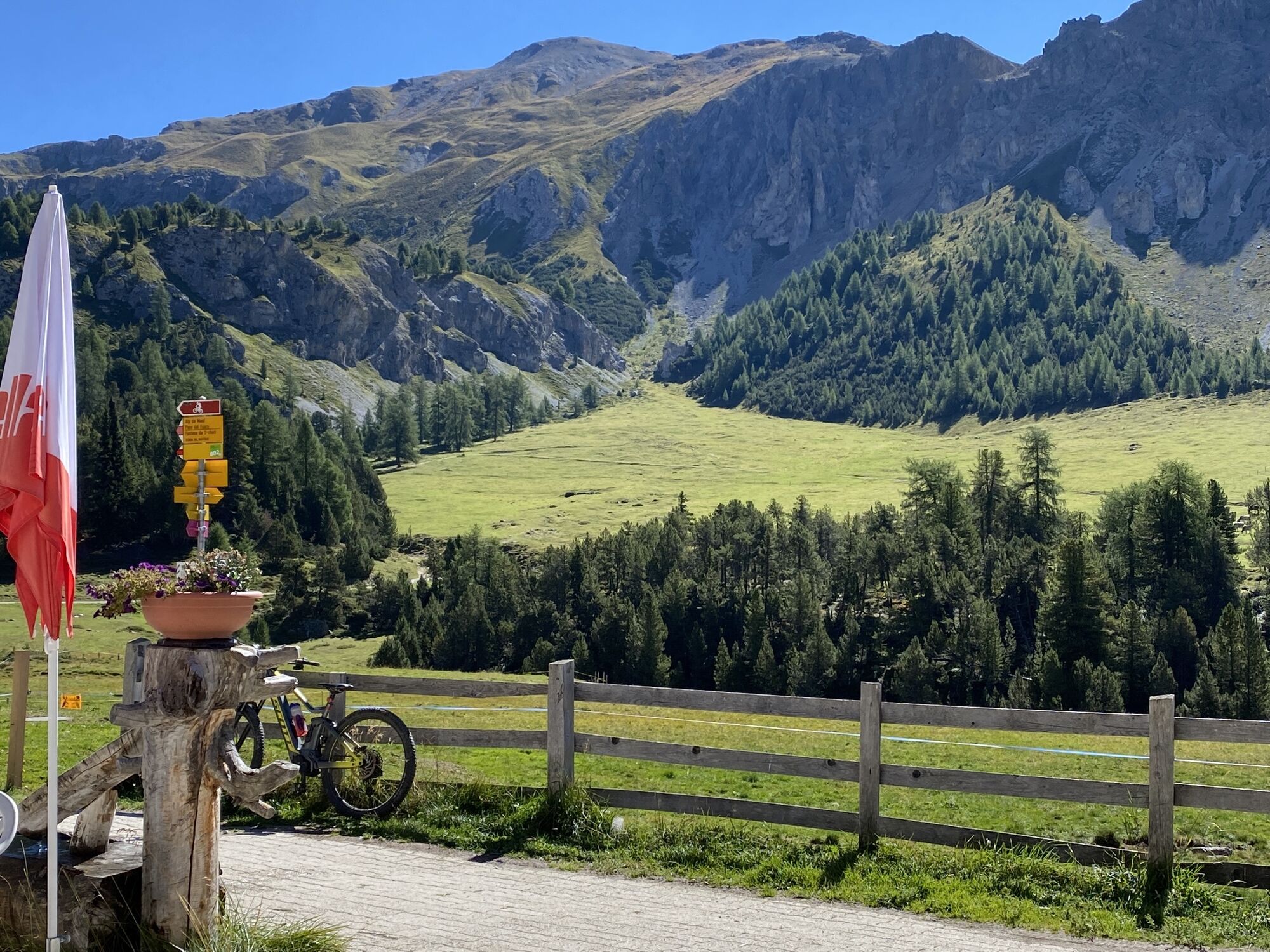
The Alp Mora invites you to take a refreshing break.
Kiertueen webbikamerat
Suosittuja retkiä naapurustossa
-
5,0
Margunet (nature trail in the Swiss National Park)
mediumVaellus 7,76 km -
Chamanna Cluozza – Vallun Chafuol
mediumVaellus 7,64 km -
4,0
001.01 Alpine Bike Stage 1 Scuol - Tschierv
mediumMaastopyörä 31,4 km -
4,0
Süsom Givè - Chaschlot - Valbella - Süsom Givè
mediumVaellus 9,73 km -
2,0
Militärhistorischer Wanderweg "Scorluzzo"
mediumVaellus 9,52 km -
4,7
Nationalpark: Grimmels, in the Heart of the National Park
mediumVaellus 5,97 km -
4,7
Naturlehrpfad - Schweizerischer Nationalpark
valoTeemareitti 6,92 km -
Margunet
valoVaellus 10,0 km -
5,0
Swiss National Parc: S-charl – Mot Tavrü (Return Route)
mediumVaellus 12,0 km -
5,0
Munt la Schera - Nationalpark
mediumVaellus 13,1 km
Vaellus & jäljitys


Älä jää paitsi tarjouksista ja inspiraatiosta seuraavaa lomaasi varten.
Sähköpostiosoitteesi on lisätty postituslistalle.