


Samnaun-Zeblasjoch-Alp Trida Roundtrip


This tour is not for soft calves, but something for those willing to suffer and e-bike explorers. The tour begins in Samnaun Dorf. You ride on wide gravel roads and have to conquer some cutting ramps....
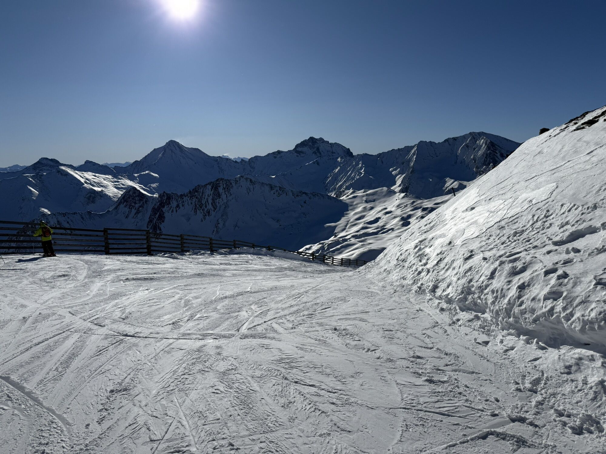
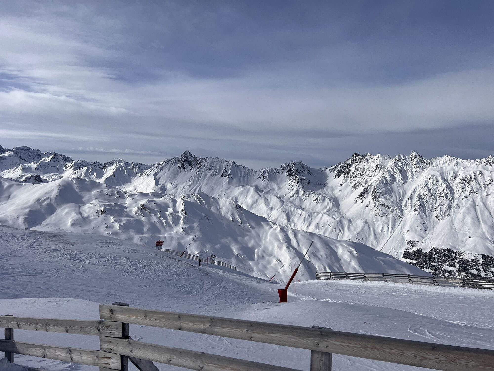
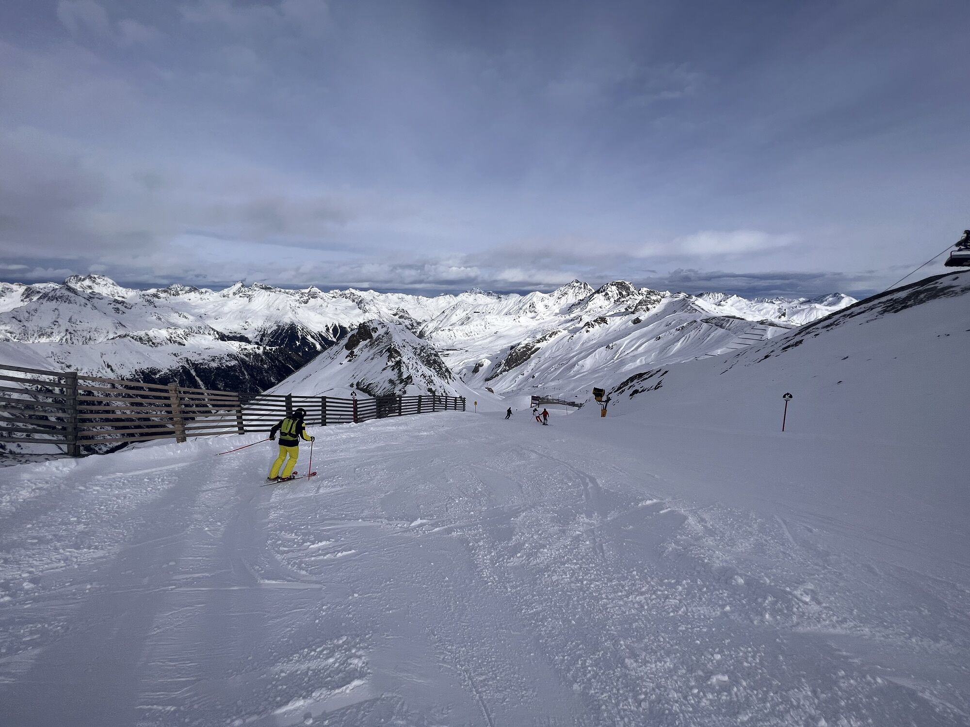
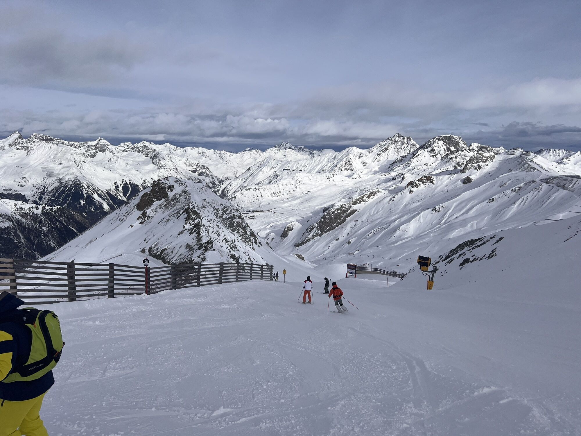
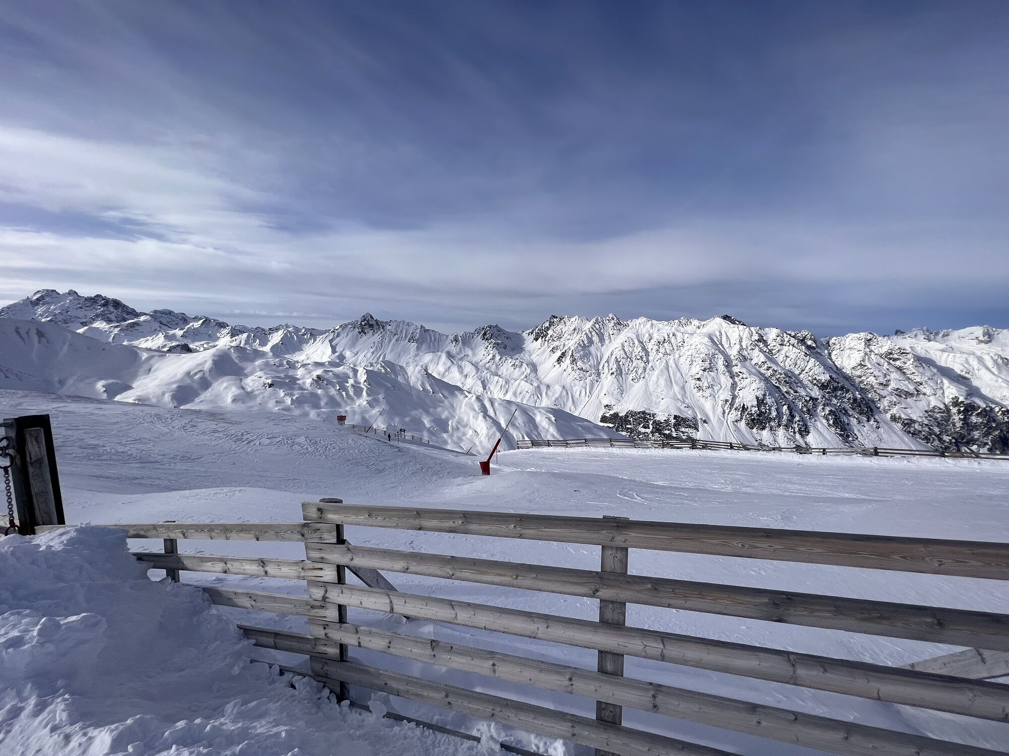
This tour is not for soft calves, but something for those willing to suffer and e-bike explorers. The tour begins in Samnaun Dorf. You ride on wide gravel roads and have to conquer some cutting ramps. In winter the ski run "Duty Free Run" traverses this area. Following Zeblasjoch a single trail begins – and now things become really steep. Hats off to anyone who can pedal this trail without an e-bike. After Paliner Kopf things get easier again and the path takes you along the border ridge to Viderjoch. Don't forget to take a break to enjoy the magnificent panoramic views! Down to Samnaun Laret you pass via the enduro and freeride trails built by Claudio Caluori (No. 697) – pure flow pleasure.


Start of the tour at the end of Samnaun village at the Schmuggleralm (1840m).
Forest road into Val Musauna to the Zeblas meadows (2404m) and onto the Zeblasjoch (2539m)
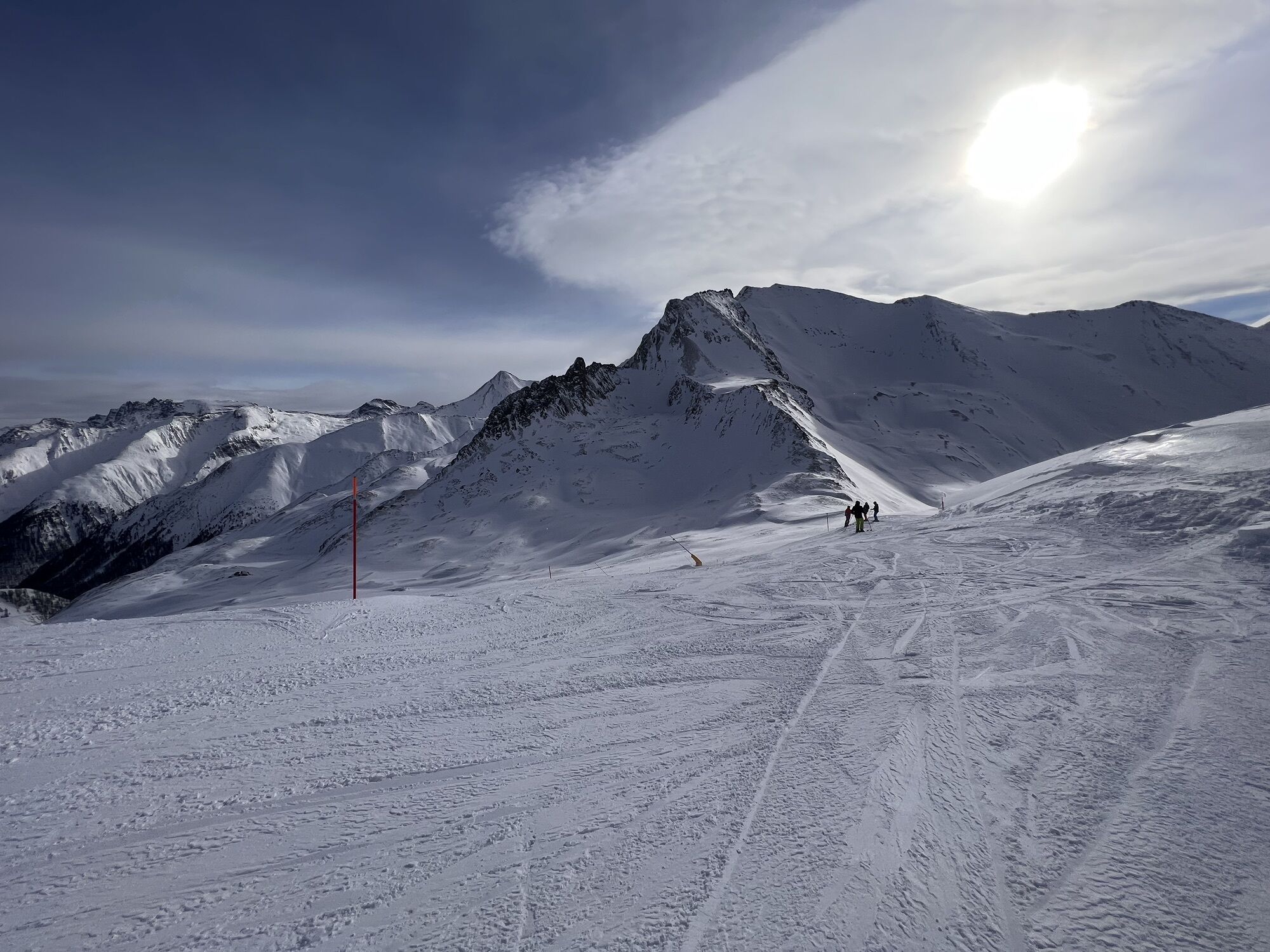
Over the ridge around the Palinkopf
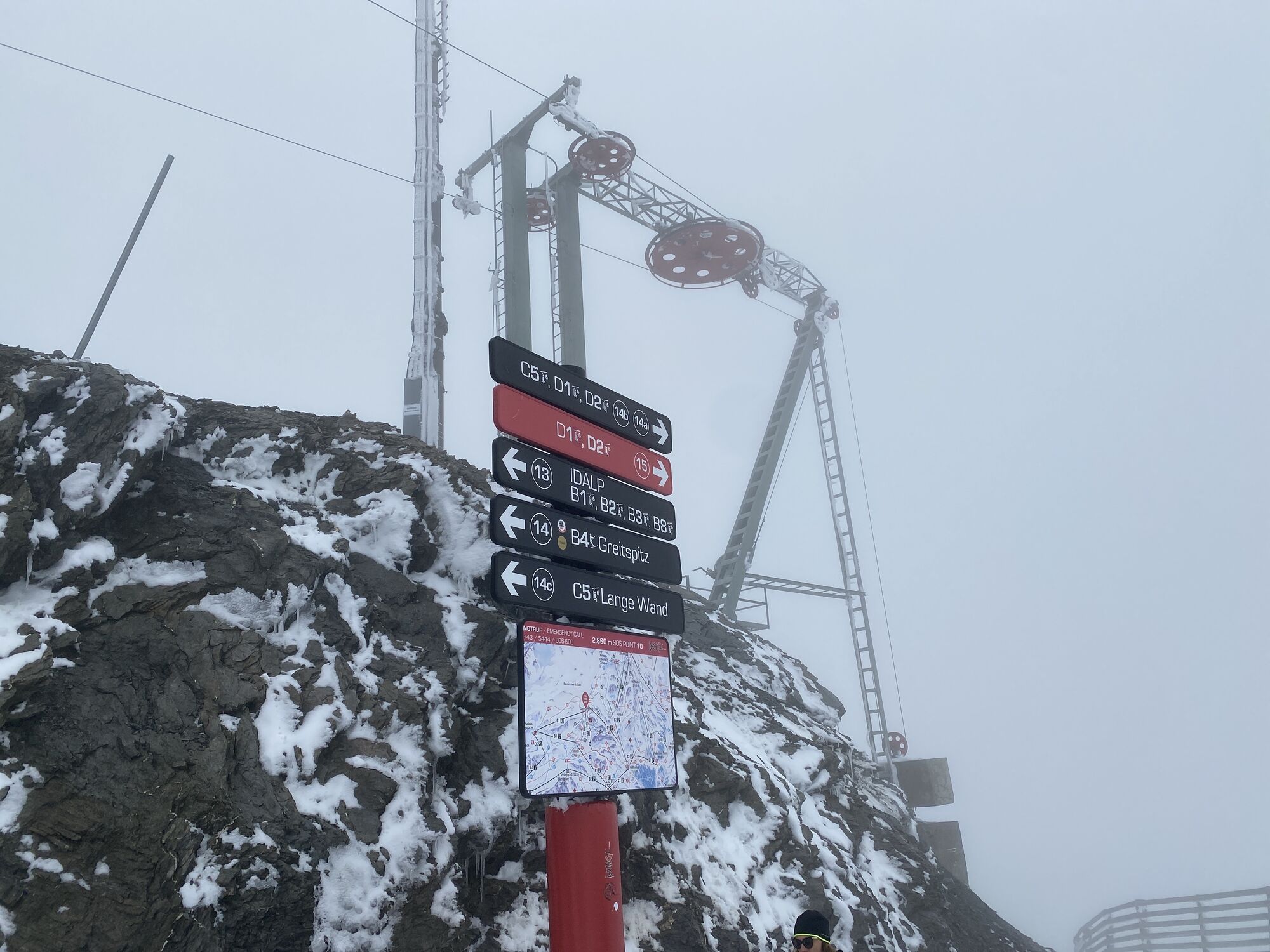
Continue to the Salaaserkopf and along the ridge to the Greitspitz to the Viderjoch
From Viderjoch enduro trail to Alp Trida (possibility: detour to the panorama restaurant Alp Trider Sattel)
From Alp Trida follow the forest road back to the valley
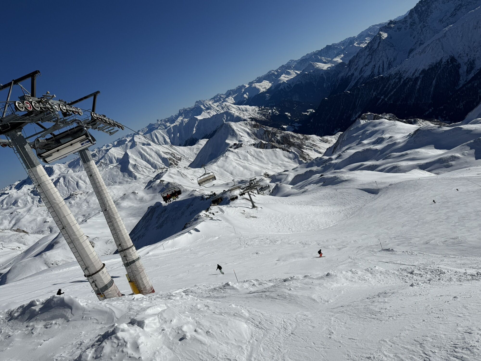
Alternatively, from Alp Trida take the chairlift to Alp Trida Sattel and the cable car to Samnaun Ravaisch.
Helmet, gloves, good shoes, glasses, rain and sun protection, water bottle, repair kit, first aid kit
The tour was assessed in favourable weather conditions, current weather conditions and weather forecasts must be imperatively observed before the tour start. This tour requires a high degree of driving safety and technical driving skills.
Emergency call:
144 Emergency call, first aid
1414 Mountain rescue REGA
112 International emergency call
Show consideration when crossing and overtaking hikers. Most of the mountain bike routes in Graubünden run on single trails that are also signposted as hiking trails. Hikers always have the right of way.
From the north: via Landquart - Klosters by car transport through the Vereina Tunnel (Selfranga - Sagliains) or via the Flüela Pass into the Lower Engadine on H27, from Vinadi turn left towards Samnaun.
From the east: via Landeck / Austria in the direction of Reschenpass on the B180, from Kajetansbrücke in the direction of Spiss - Samnaun on the L348
From the south: via Reschenpass to Kajetansbrücke, there direction Spiss - Samnaun on the L348
With the Rhaetian Railway (from Chur, Landquart/Prättigau or from the Upper Engadine) hourly to Scuol-Tarasp station.
Continue by PostBus to Samnaun-Dorf, post office.
In Samnaun during the day hourly service with the Samnaunbus
Free public car park Chasa Riva at the village entrance in Samnaun village.
Free public car park Votlas at the Hotel Bündnerhof (guidance zone L)
Suosittuja retkiä naapurustossa
-
5,0
Menta Alm - Scheibenalm
valoVaellus 11,4 km -
4,7
Jamtal lodge
mediumVaellus 19,6 km -
4,0
Jamtalhütte
mediumVaellus 19,1 km -
4,3
Sonnenkogel - Friedrichshafener lodge
mediumVaellus 13,2 km -
Von Galtür zur Jamtalhütte mit Trail
mediumE-MTB 21 km -
5,0
Rundwanderung Berglisee, Mathon
raskasVaellus 11,1 km -
5,0
Kappl, Diasbahn Bergstation, Niederelbehütte, Diasbahn, Österreich
mediumVaellus 10,1 km -
5,0
Samnaun Dorf – Muttler
raskasVaellus 14,8 km -
Suspension Bridge Trail Val Sinestra – Zuort – Griosch – Vnà
mediumVaellus 11,0 km -
3,6
Bergstation Silvretta nach Patznauener Taja
valoVaellus 11,6 km
Vaellus & jäljitys


Älä jää paitsi tarjouksista ja inspiraatiosta seuraavaa lomaasi varten.
Sähköpostiosoitteesi on lisätty postituslistalle.