


Culture trail


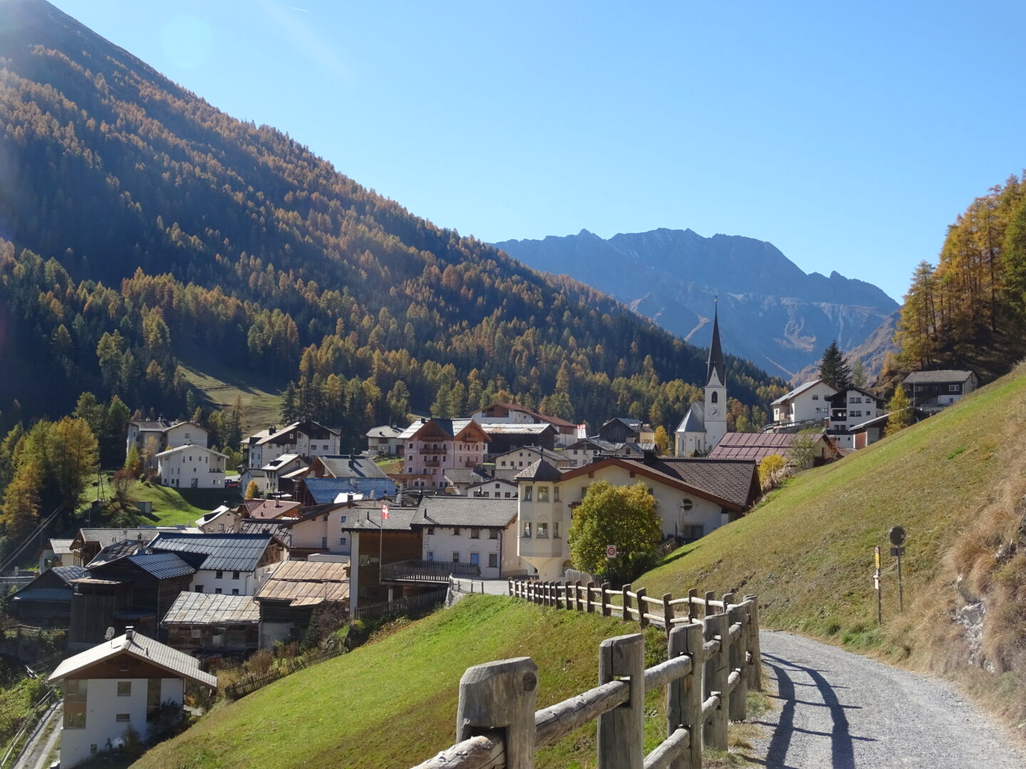
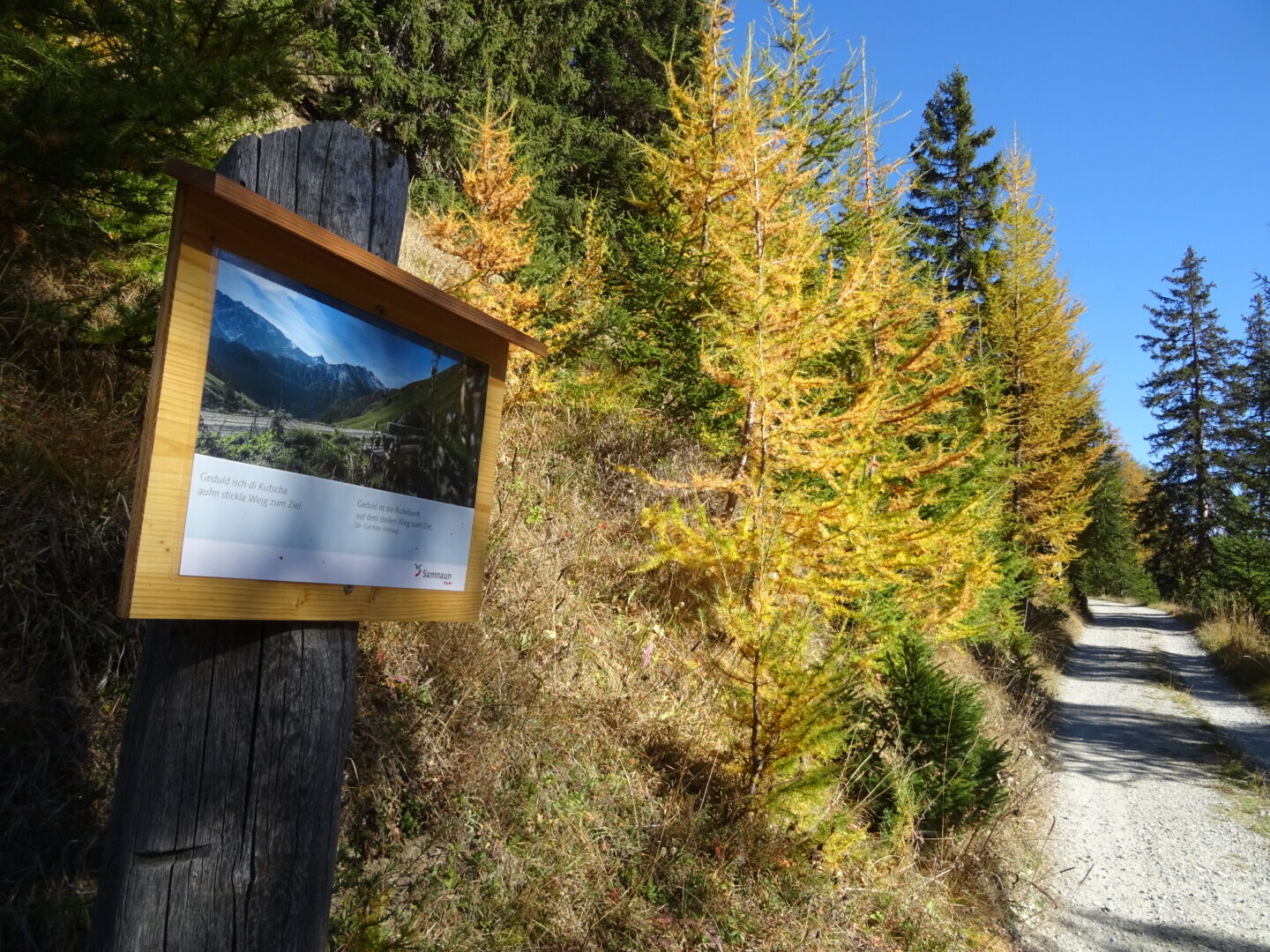
The culture trail is a well-maintained forest trail that begins with a leisurely ascent at the end of Samnaun-Compatsch. Along the exhibitions and quotations, you hike in the direction of Zanderstal. A...
The culture trail is a well-maintained forest trail that begins with a leisurely ascent at the end of Samnaun-Compatsch. Along the exhibitions and quotations, you hike in the direction of Zanderstal. A beautiful view of neighbouring Spiss and the Muttakopf opens up. At the end of the culture trail, at the Malfragbach stream, you cross the national border. After about one kilometre, you cross the Zandersbach stream and leave Austrian territory again. Along the Zandersbach you reach the bus stop Spissermühle, where a PostBus leaves for Samnaun every hour.


Samnaun-Compatsch, Kulturweg, Zanderstal, Spissermühle.
Kyllä
Good shoes, rain and sun protection, water bottle, bandages.
144 Emergency call, first aid
1414 Mountain rescue REGA
112 International emergency call
From the north: via Landquart - Klosters by car transport through the Vereina tunnel (Selfranga - Sagliains) Then take the H27 in the direction via Scuol and Martina to Vinadi. At the junction Vinadi to Samnaun (about 1 hour from Vereina Südportal)
From the east: via the Inn valley road B180 via Landeck to Pfunds, junction Kajetansbrücke and via Spiss to Samnaun.
From the south: via Reschenpass (Nauders) on B180 to Pfunds, junction Kajetansbrücke and via Spiss to Samnaun.
With the Rhaetian Railway (from Chur, Landquart/Prättigau or from the Upper Engadine) every hour to Scuol-Tarasp station
Continue by PostBus (from Scuol-Tarasp or Martina, Cunfin) every hour to the PostBus stop Samnaun-Compatsch, village
In Samnaun during the day hourly connection with the Samnaunbus to PostBus stop Samnaun-Compatsch, village
Parking spaces in Samnaun-Laret below the alpine dairy.
Parking spaces in Samnaun-Compatsch near the school/adventure bath
Suosittuja retkiä naapurustossa
-
4,8
Murmeltierwanderweg
mediumVaellus 6,87 km -
5,0
Rundwanderung Berglisee, Mathon
raskasVaellus 11,1 km -
4,5
Radurschelklamm
mediumVaellus 7,51 km -
4,9
Furgler vom Lazid
raskasKorkea kiertue 9,60 km -
5,0
Kappl, Diasbahn Bergstation, Niederelbehütte, Diasbahn, Österreich
mediumVaellus 10,1 km -
5,0
Samnaun Dorf – Muttler
raskasVaellus 14,8 km -
Suspension Bridge Trail Val Sinestra – Zuort – Griosch – Vnà
mediumVaellus 11,0 km -
3,6
Bergstation Silvretta nach Patznauener Taja
valoVaellus 11,6 km -
Nauders: Schweiz-Runde
Maastopyörä 32,6 km -
5,0
Holzkugelweg Gemeinde Serfaus, Tirol/Österreich
valoVuoristovaellus 2,72 km
Vaellus & jäljitys


Älä jää paitsi tarjouksista ja inspiraatiosta seuraavaa lomaasi varten.
Sähköpostiosoitteesi on lisätty postituslistalle.