


Samnaun-Compatsch - Spissermühle


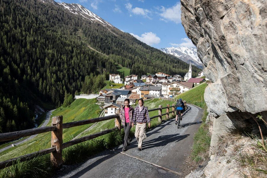
This hike begins in the centre of Samnaun-Compatsch. Slightly ascending, you reach the "Mottas Laretas" hill via the forest road along the culture trail, where the barbecue area with benches invites you...
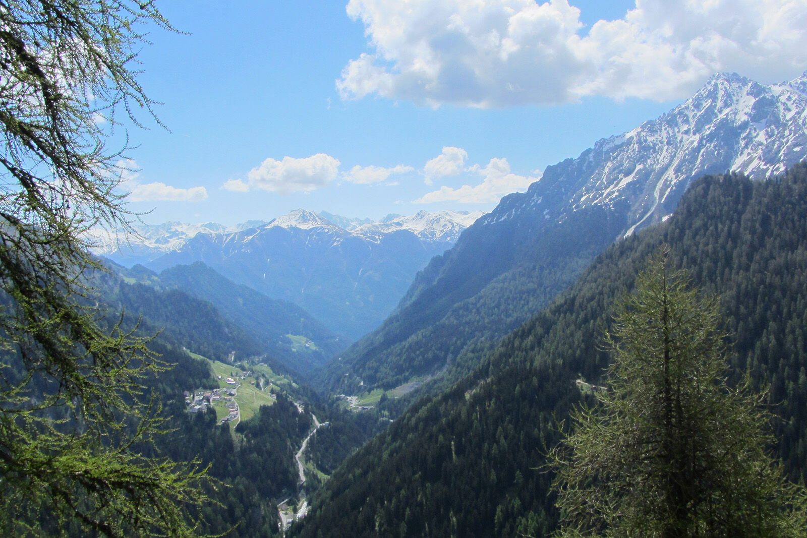
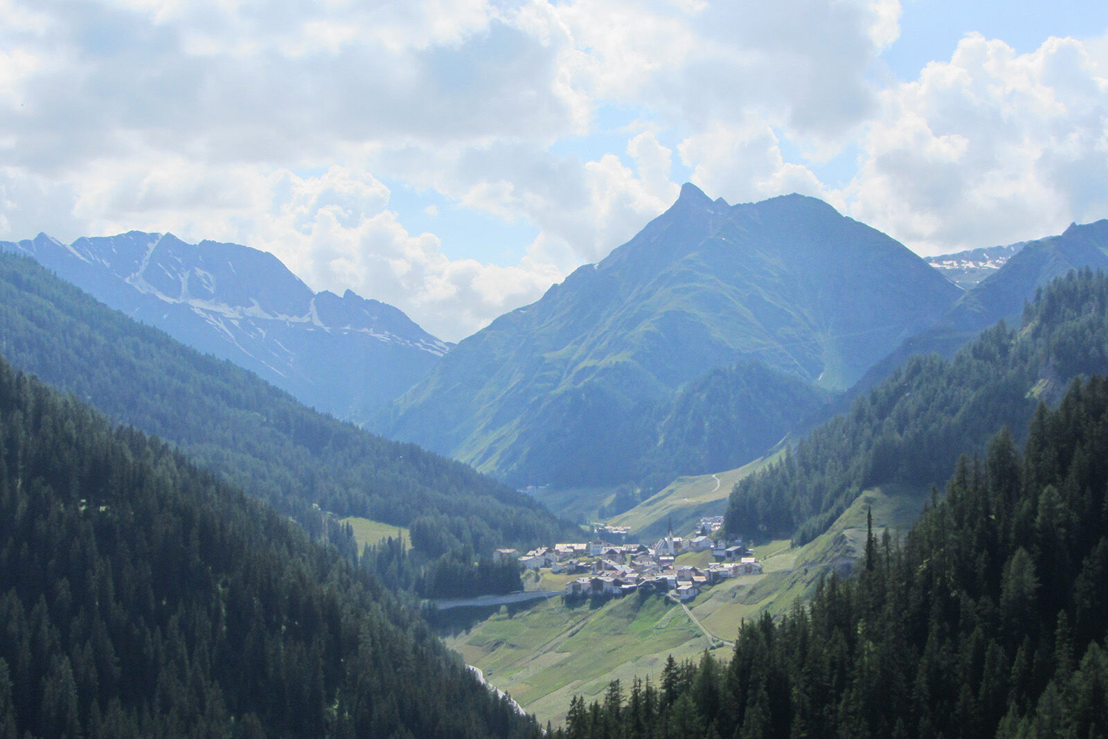
This hike begins in the centre of Samnaun-Compatsch. Slightly ascending, you reach the "Mottas Laretas" hill via the forest road along the culture trail, where the barbecue area with benches invites you to linger and a beautiful view of Samnaun-Compatsch opens up. When you cross the Malfragbach stream, you also cross the Swiss-Austrian border. Now the trail continues across the Zanderswiesen meadows. After crossing the Zandersbach stream, keep to the right and hike in the direction of Spiss. At the playground, turn right again after about 300 metres and cross the Zandersbach again. Now you are back in Switzerland. The trail now follows the wild course of the stream to Spissermühle, where the PostBus takes hikers back to Samnaun.

From the center of Samnaun Compatsch with the forest road to Mottas Laretas Start of the culture trail Follow the path Crossing the stream and the border Further over the pike-perch meadows Crossing the Zandersbach Keep right towards SpissAt the playground after approx. 300 m turn right Crossing the stream again Follow the stream to Spissermühle
Good shoes, rain and sun protection, water bottle, bandages.
The tour has been evaluated under favorable weather conditions. Current weather conditions and weather forecasts must be taken into account before the tour starts. This hike requires elementary alpine experience, orientation skills. Trekking shoes are recommended.
Emergency call:
144 Emergency call, first aid
1414 Mountain rescue REGA
112 International emergency call
From the north: via Landquart - Klosters by car transport through the Vereina tunnel (Selfranga - Sagliains) Then take the H27 in the direction via Scuol and Martina to Vinadi. At the junction Vinadi to Samnaun (about 1 hour from Vereina Südportal) From the east: via the Inn valley road B180 via Landeck to Pfunds, junction Kajetansbrücke and via Spiss to Samnaun. From the south: via Reschenpass (Nauders) on B180 to Pfunds, junction Kajetansbrücke and via Spiss to Samnaun. Please note: If you travel to Samnaun, you need a valid travel document (passport, ID), because you will pass the customs in Martina resp. Spissermühle.
With the Rhaetian Railway (from Chur, Landquart/Prättigau or from the Upper Engadine) every hour to Scuol-Tarasp station
Continue with the PostBus (from Scuol-Tarasp, or Martina, cunfin) every hour to the PostBus stop Samnaun-Compatsch, village
In Samnaun during the day hourly access with the Samnaunbus
Free parking in Samnaun-Compatsch at the church and at the school
Suosittuja retkiä naapurustossa
-
4,8
Murmeltierwanderweg
mediumVaellus 6,87 km -
4,5
Radurschelklamm
mediumVaellus 7,51 km -
4,9
Furgler vom Lazid
raskasKorkea kiertue 9,60 km -
5,0
Rundwanderung Berglisee, Mathon
raskasVaellus 11,1 km -
5,0
Kappl, Diasbahn Bergstation, Niederelbehütte, Diasbahn, Österreich
mediumVaellus 10,1 km -
5,0
Samnaun Dorf – Muttler
raskasVaellus 14,8 km -
Suspension Bridge Trail Val Sinestra – Zuort – Griosch – Vnà
mediumVaellus 11,0 km -
3,6
Bergstation Silvretta nach Patznauener Taja
valoVaellus 11,6 km -
Nauders: Schweiz-Runde
Maastopyörä 32,6 km -
5,0
Holzkugelweg Gemeinde Serfaus, Tirol/Österreich
valoVuoristovaellus 2,72 km
Vaellus & jäljitys


Älä jää paitsi tarjouksista ja inspiraatiosta seuraavaa lomaasi varten.
Sähköpostiosoitteesi on lisätty postituslistalle.