


Glacier Hike


From the Alp Trida saddle mountain station, the path first leads leisurely towards Hüttenboden. With a little luck you will see edelweiss blooming right next to the path. From Hüttenboden the path climbs...
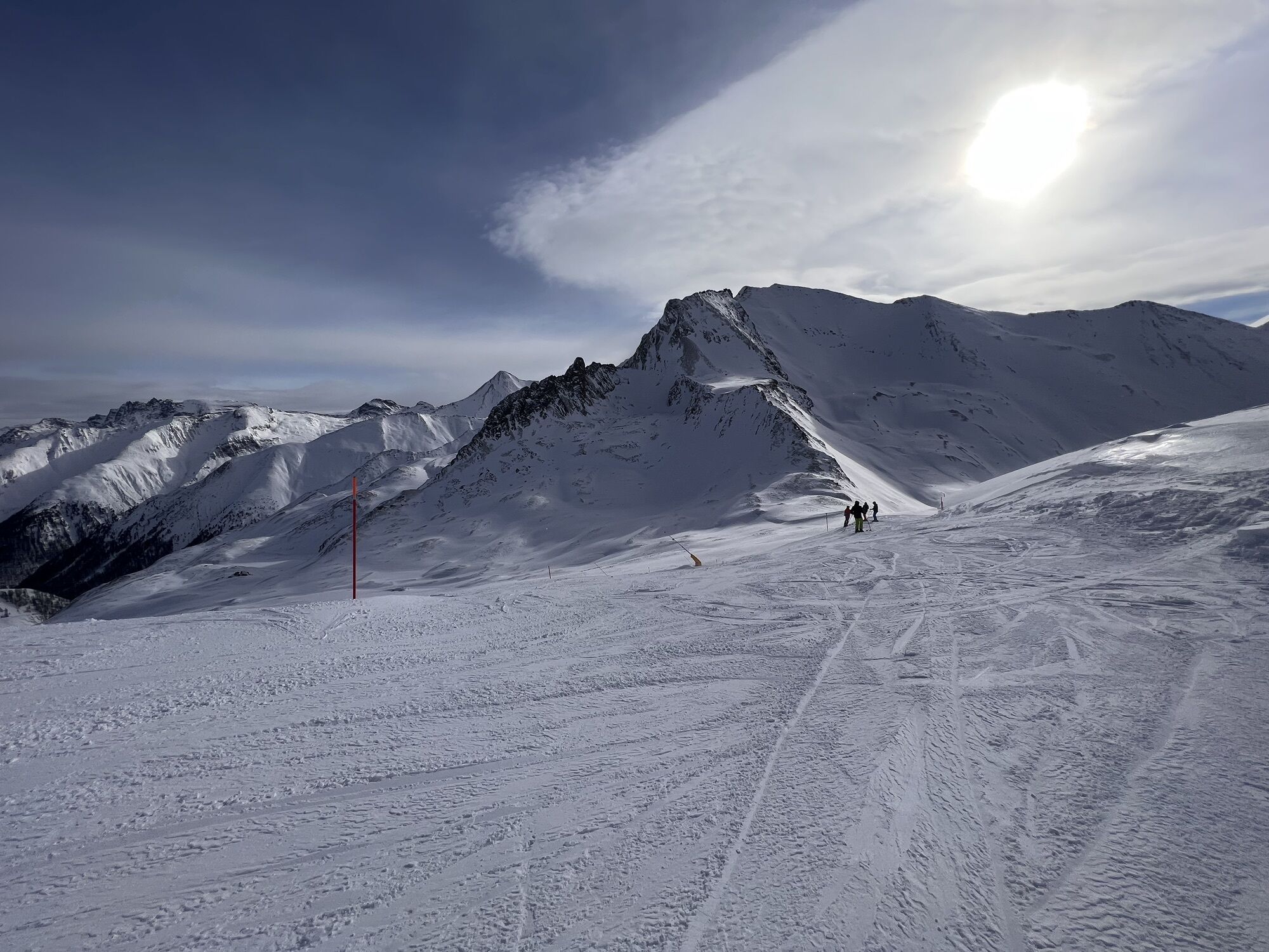
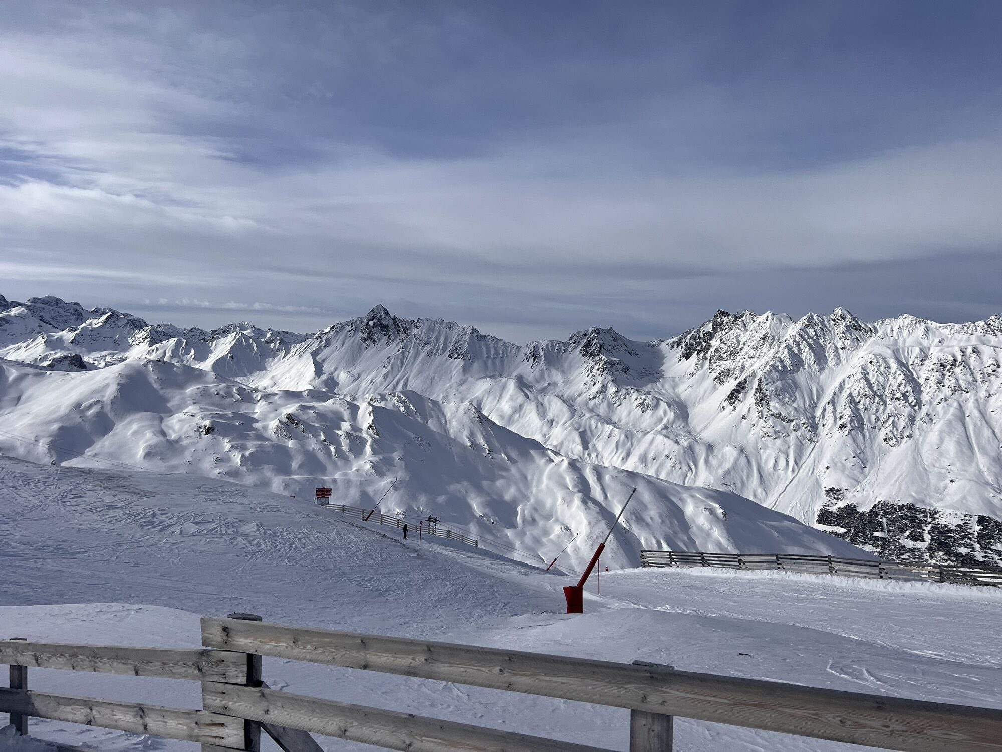
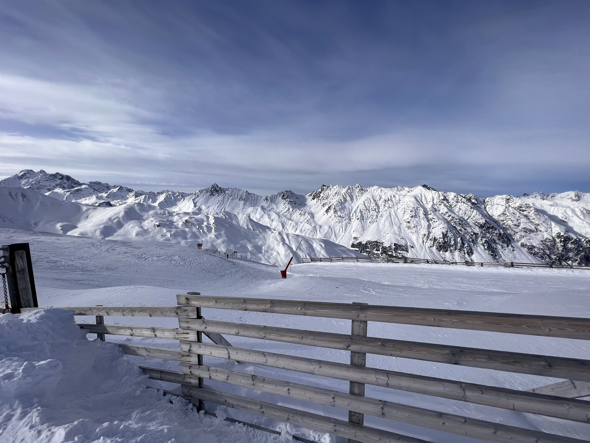
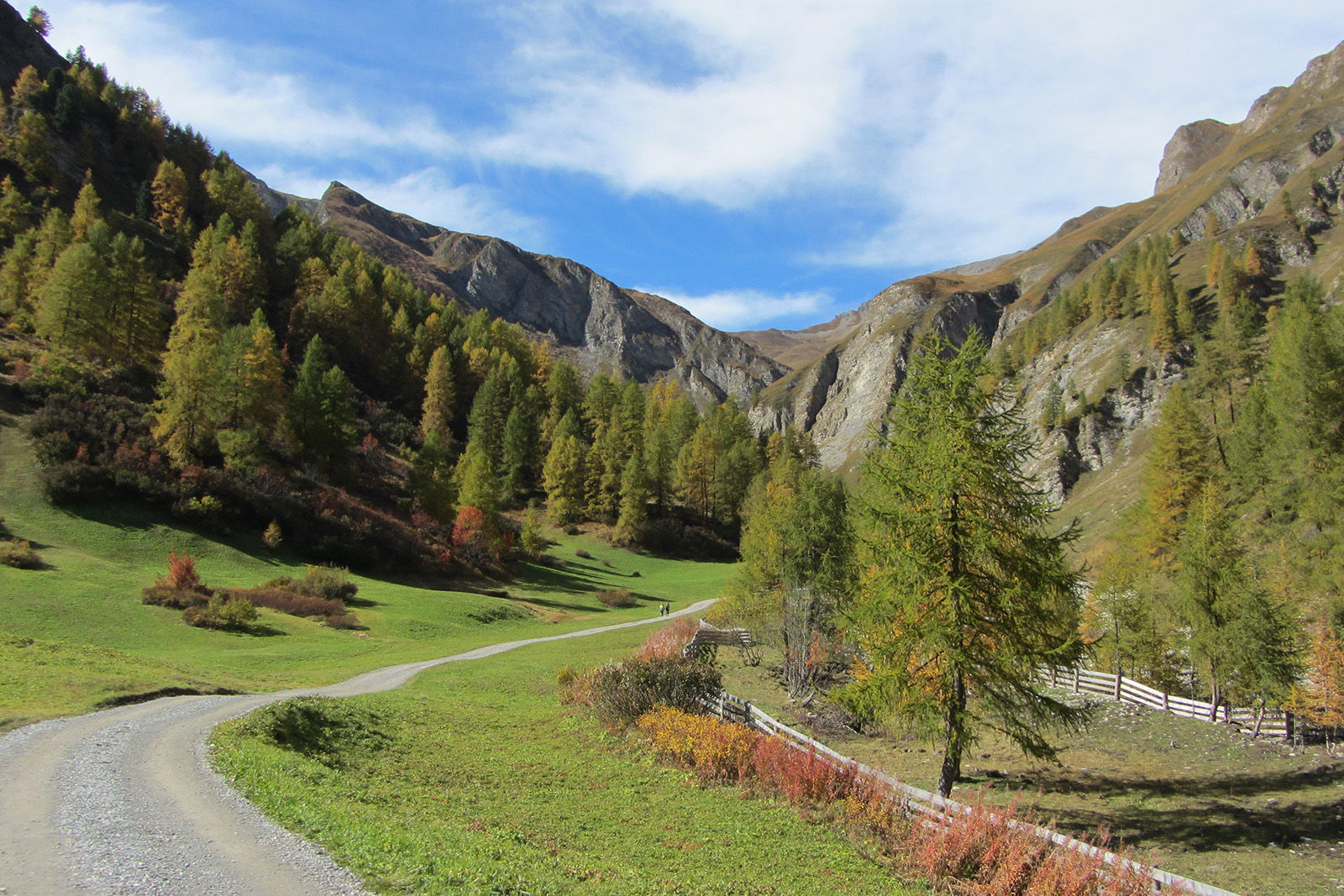
From the Alp Trida saddle mountain station, the path first leads leisurely towards Hüttenboden. With a little luck you will see edelweiss blooming right next to the path. From Hüttenboden the path climbs slightly to Salaaser Eck and Ravaischer Salaas. The Gipslöcher are impressive sinkholes in the gypsum rock. To the south, below Piz Rots on the left, you can see the Vadret (Sulnerferner). At Zeblas, the hiking trail leads a short distance down into the valley and then turns immediately right, past a hunting lodge and a small lake towards Sulnerferner. At the foot of the glacier, you can imagine yourself in a high alpine landscape, framed by Piz Vadret (Sulnerspitz) and the mighty flank of Piz Rots. Then the path leads back over the Zeblas pasture, where you continue along the road toward Val Masauna to Samnaun Dorf.


On Alp Trida saddle to the hut floor Continue slightly uphill to Salaaser Eck and Ravaischer Salaas At Zeblas shortly across the road downhill Turn right, past a hunting lodge Follow the road towards Sulnerferner At the foot of the glacier a little bit back Turn right at the end of the scree field Follow the path towards Zeblaswiesen From the zebra meadows follow to Val Musauna and Samnaun village
Kyllä
Kyllä
Good shoes, rain and sun protection, water bottle, bandages.
The tour has been evaluated under favorable weather conditions. Current weather conditions and weather forecasts must be taken into account before the tour starts.
Emergency call:
144 Emergency call, first aid
1414 Mountain rescue REGA
112 International emergency call
From north: via Landquart - Klosters by car transport through the Vereina tunnel (Selfranga - From north: via Landquart - Klosters by car transport through the Vereina tunnel (Selfranga - Sagliains). Then take the H27 in the direction via Scuol and Martina to Vinadi. At the junction Vinadi to Samnaun (about 1 hour from Vereina Südportal) From the east: via the Inn valley road B180 via Landeck to Pfunds, junction Kajetansbrücke and via Spiss to Samnaun. From the south: via Reschenpass (Nauders) on B180 to Pfunds, junction Kajetansbrücke and via Spiss to Samnaun.Take the double-decker cable car from Samnaun-Ravaisch to the Alp Trida Sattel
With the Rhaetian Railway (from Chur, Landquart/Prättigau or from the Upper Engadine) every hour to Scuol-Tarasp station
Hourly connections with the PostBus, line 921 to Samnaun-Ravaisch, mountain railroads
Parking spaces at the valley station of the double-decker cable car, Samnaun-Ravaisch
Suosittuja retkiä naapurustossa
-
5,0
Menta Alm - Scheibenalm
valoVaellus 11,4 km -
4,7
Jamtal lodge
mediumVaellus 19,6 km -
4,0
Jamtalhütte
mediumVaellus 19,1 km -
4,3
Sonnenkogel - Friedrichshafener lodge
mediumVaellus 13,2 km -
5,0
Rundwanderung Berglisee, Mathon
raskasVaellus 11,1 km -
Von Galtür zur Jamtalhütte mit Trail
mediumE-MTB 21 km -
5,0
Kappl, Diasbahn Bergstation, Niederelbehütte, Diasbahn, Österreich
mediumVaellus 10,1 km -
5,0
Samnaun Dorf – Muttler
raskasVaellus 14,8 km -
Suspension Bridge Trail Val Sinestra – Zuort – Griosch – Vnà
mediumVaellus 11,0 km -
3,6
Bergstation Silvretta nach Patznauener Taja
valoVaellus 11,6 km
Vaellus & jäljitys


Älä jää paitsi tarjouksista ja inspiraatiosta seuraavaa lomaasi varten.
Sähköpostiosoitteesi on lisätty postituslistalle.