


Samnaun-Compatsch – Tschoccas (W2)
Vaikeustaso: 2


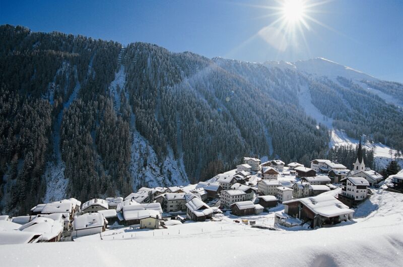
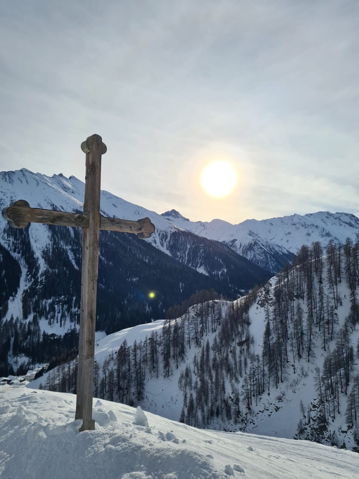
At St. Jakobus Church in Samnaun-Compatsch (1699 m above sea level), the hike starts left uphill to Tschoccas. First, the path winds through the larch forest over Samnaun-Compatsch and then over open terrain...
At St. Jakobus Church in Samnaun-Compatsch (1699 m above sea level), the hike starts left uphill to Tschoccas. First, the path winds through the larch forest over Samnaun-Compatsch and then over open terrain with views of Samnaun-Laret and the Samnaun valley with Piz Ot and Piz Rots at the valley end. The walk ends in the forest at Urezza (1860 m above sea level). You return the same way to Samnaun-Compatsch. This path also serves as a ski slope, especially used in the late afternoon (valley descent to Samnaun-Compatsch).

From the PostAuto stop to St. Jakobus Church
At the church, turn left uphill towards Vaidum
Continue to Tschoccas
Follow the path to Urezza
Return route same as outbound route
Kyllä
Kyllä
High and sturdy hiking boots or winter boots, warm clothing, sunscreen, sunglasses, sun protection, hiking poles.
The path is prepared after every snowfall. Please observe the reports in the condition report. The route was rated under favorable weather conditions; current snow and weather conditions must be checked before starting.
Caution: The path partly leads over a ski slope.
Emergency numbers:
144 emergency call, first aid
1414 mountain rescue REGA
112 international emergency call
From the north: via Landquart – Klosters by car shuttle through the Vereina tunnel (Selfranga - Sagliains). Then on H27 towards Scuol and Martina to Vinadi. At the Vinadi junction to Samnaun (about 1 hour from Vereina South portal) From the east: via the Inn Valley road B180 via Landeck to Pfunds, junction Kajetansbrücke and via Spiss to Samnaun. From the south: via Reschenpass (Nauders) on B180 to Pfunds, junction Kajetansbrücke and via Spiss to Samnaun.
Please note: If you travel to Samnaun, you need a valid travel document (passport, ID), as you will pass customs at Martina or Spissermühle.
By the Rhaetian Railway (from Chur, Landquart/Prättigau or Upper Engadin) hourly to Scuol-Tarasp station
Continue with the PostAuto (from Scuol-Tarasp or Martina, cunfin) hourly to PostAuto stop Samnaun-Compatsch, Erlebnisbad
In Samnaun, hourly service with the Samnaun bus during the day
Free parking at St. Jakobus Church and at the schoolhouse in Samnaun-Compatsch
2
Kiertueen webbikamerat
Suosittuja retkiä naapurustossa
-
4,8
Murmeltierwanderweg
mediumVaellus 6,87 km -
4,5
Radurschelklamm
mediumVaellus 7,51 km -
4,9
Furgler vom Lazid
raskasKorkea kiertue 9,60 km -
5,0
Rundwanderung Berglisee, Mathon
raskasVaellus 11,1 km -
5,0
Kappl, Diasbahn Bergstation, Niederelbehütte, Diasbahn, Österreich
mediumVaellus 10,1 km -
5,0
Samnaun Dorf – Muttler
raskasVaellus 14,8 km -
Suspension Bridge Trail Val Sinestra – Zuort – Griosch – Vnà
mediumVaellus 11,0 km -
3,6
Bergstation Silvretta nach Patznauener Taja
valoVaellus 11,6 km -
4,7
Friedrichshafener Hütte und Panoramablick auf Galtür, Jamtal und Silvretta Hochalpenstrasse
mediumMaastopyörä 31,1 km -
Nauders: Schweiz-Runde
Maastopyörä 32,6 km
Vaellus & jäljitys


Älä jää paitsi tarjouksista ja inspiraatiosta seuraavaa lomaasi varten.
Sähköpostiosoitteesi on lisätty postituslistalle.