


Vid's heart route Vuzenica


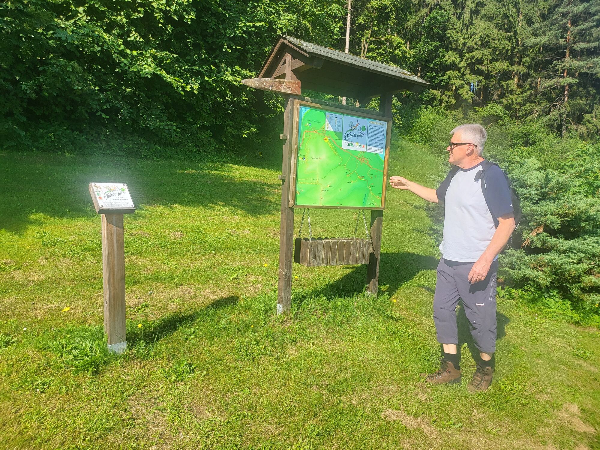
Vid's trail is a continuation of the Vuzeniška forest trail "Pistrov grad" and is almost entirely led through the forest. A pleasantly cool breeze blows through the crowns of bushy trees, in the embrace...
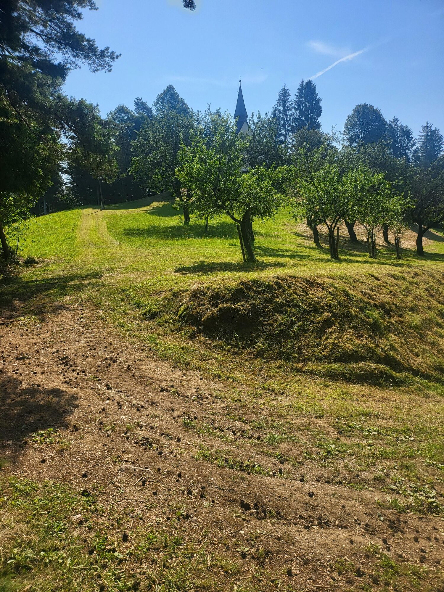
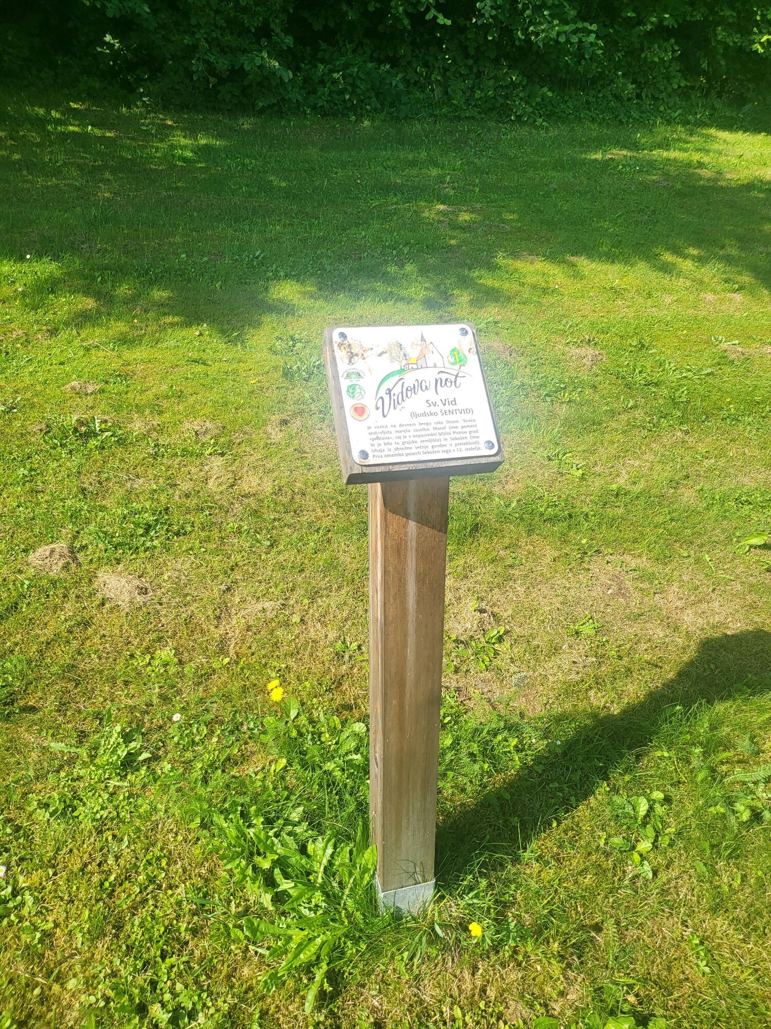
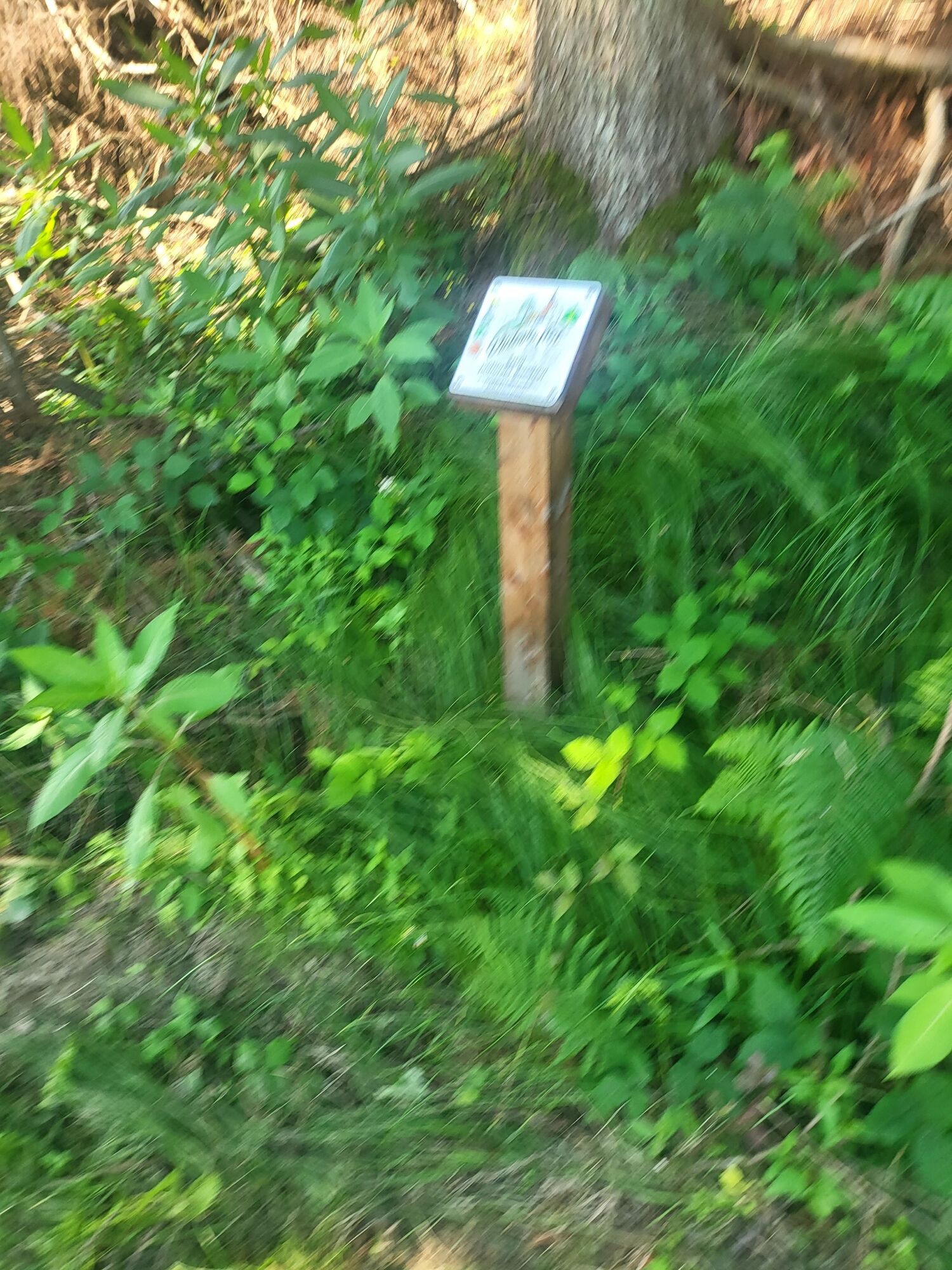
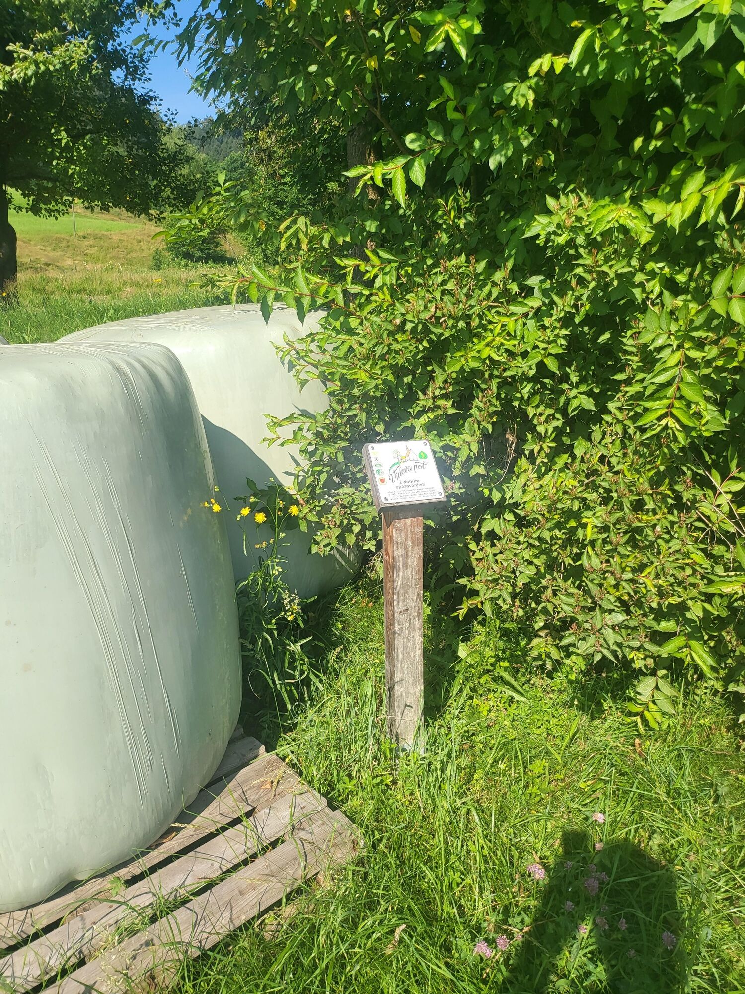
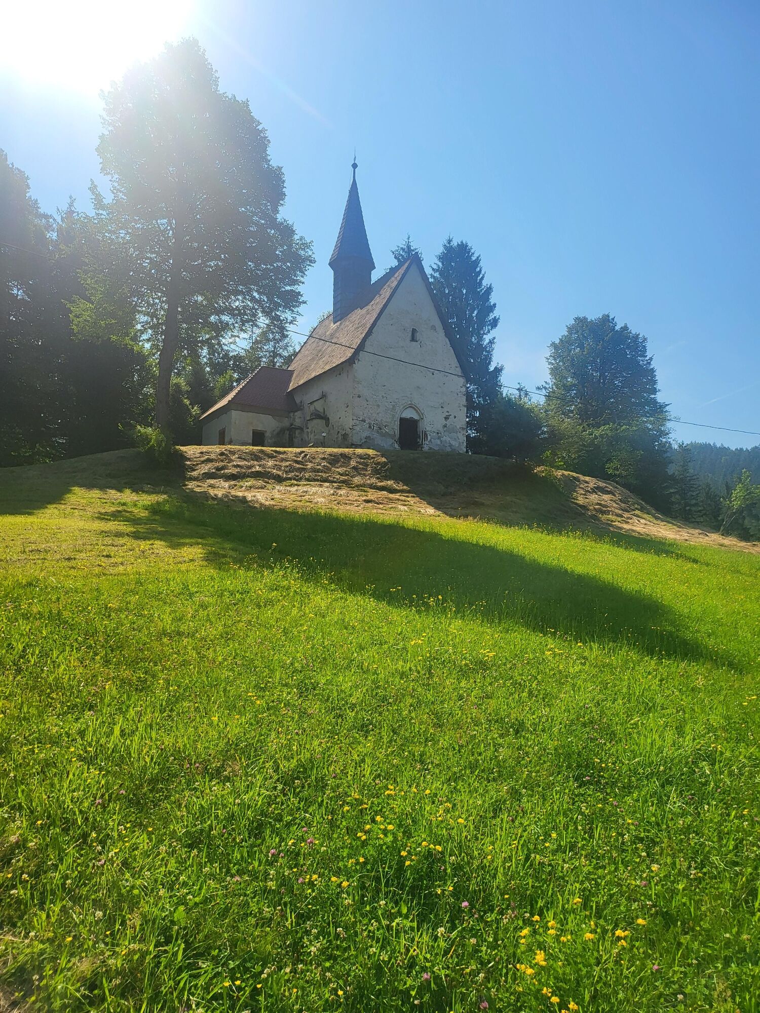
Vid's trail is a continuation of the Vuzeniška forest trail "Pistrov grad" and is almost entirely led through the forest. A pleasantly cool breeze blows through the crowns of bushy trees, in the embrace of nature we can relax, exercise, breathe fresh air and gain fresh strength. The path is 2.6 km long and leads us from the tourist house by the playground all the way to the church of St. Vida standing in a secluded position on top of a hill. http://www.sv-vid.si/Turisti%C4%8Dneinformacije/Vidovapot.aspx. The height difference is 113m.
We can return in the direction of the approach or make a direct descent into the valley and then follow the road to the starting point.

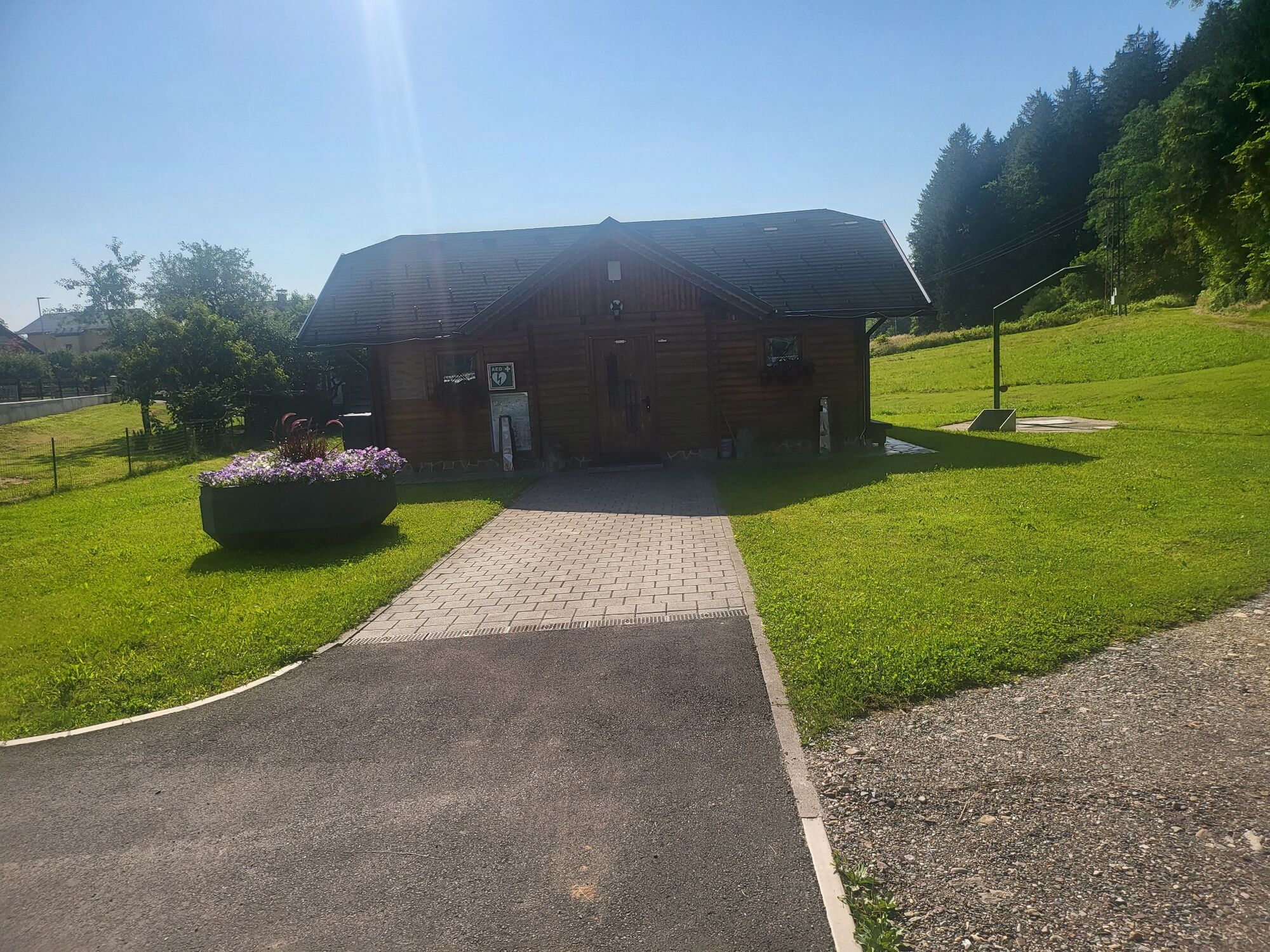
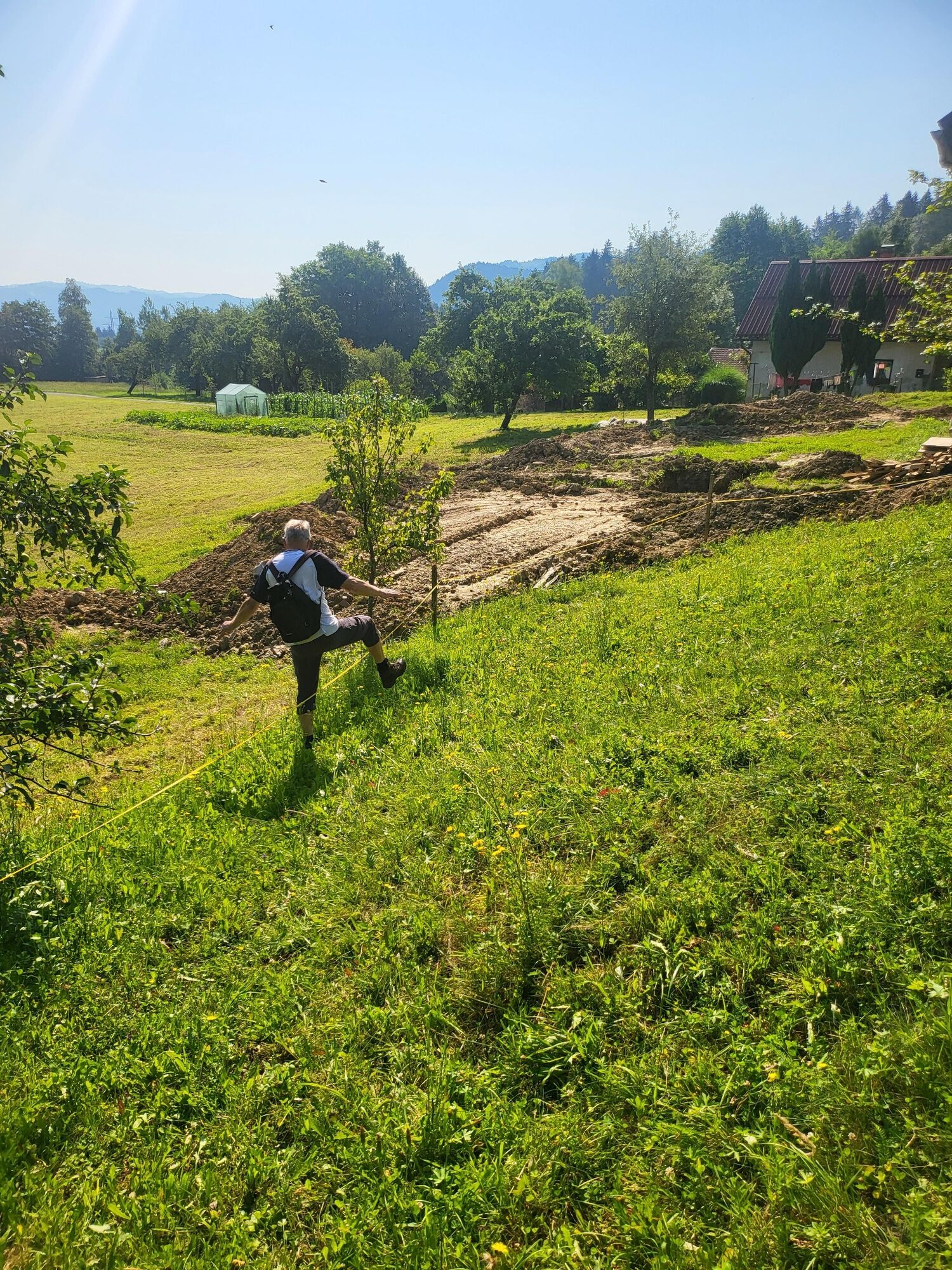
From the log cabin, turn left along the path into the forest into and along the edge of the forest above a secluded farm onto a small macadam road and then right into the forest along the cart track and then left into the hill along the path to the church of St. Sight.
Kyllä
Kyllä
Kyllä
Good hiking shoes and clothing and hiking poles.
The path is safe. It is necessary to watch out for possible slips,
By car, turn left parallel to the Drava 2km from the center of Vuzenica
no
By Tourist info centre.
ok
The path is narrow and wet in places, so good shoes and pants are recommended.
Suosittuja retkiä naapurustossa
-
4,5
Altenbachklamm Rundweg
mediumVaellus 5,69 km -
2,0
Štrekna cycle path
mediumPyöräily 23,9 km -
4,7
Altenbachklamm
valoVaellus 6,45 km -
4,2
Altenbachklamm
mediumVaellus 4,86 km -
4,6
Remschniggalm, Nr. 116
mediumMaastopyörä 45,4 km -
5,0
Oberhaag Altenbachklamm
mediumVaellus 14,5 km -
5,0
RADELIKAT (Eibiswald), Nr. 151
valoMaastopyörä 26,9 km -
Eibiswald - Kapunerhütte - Radlpass - Eibiswald
mediumVaellus 18,4 km -
5,0
Eibiswald - St. Pongratzen - Kapunerhütte - Eibiswald
mediumVaellus 22,0 km -
2,5
Dreieck
valoVaellus 10,2 km
Vaellus & jäljitys


Älä jää paitsi tarjouksista ja inspiraatiosta seuraavaa lomaasi varten.
Sähköpostiosoitteesi on lisätty postituslistalle.