


Finale Enduro 2008


The route takes you almost immediately to a junction, turn left into the first descent. At the following junction turn right, keep going straight until you reach another junction where you will pick up...
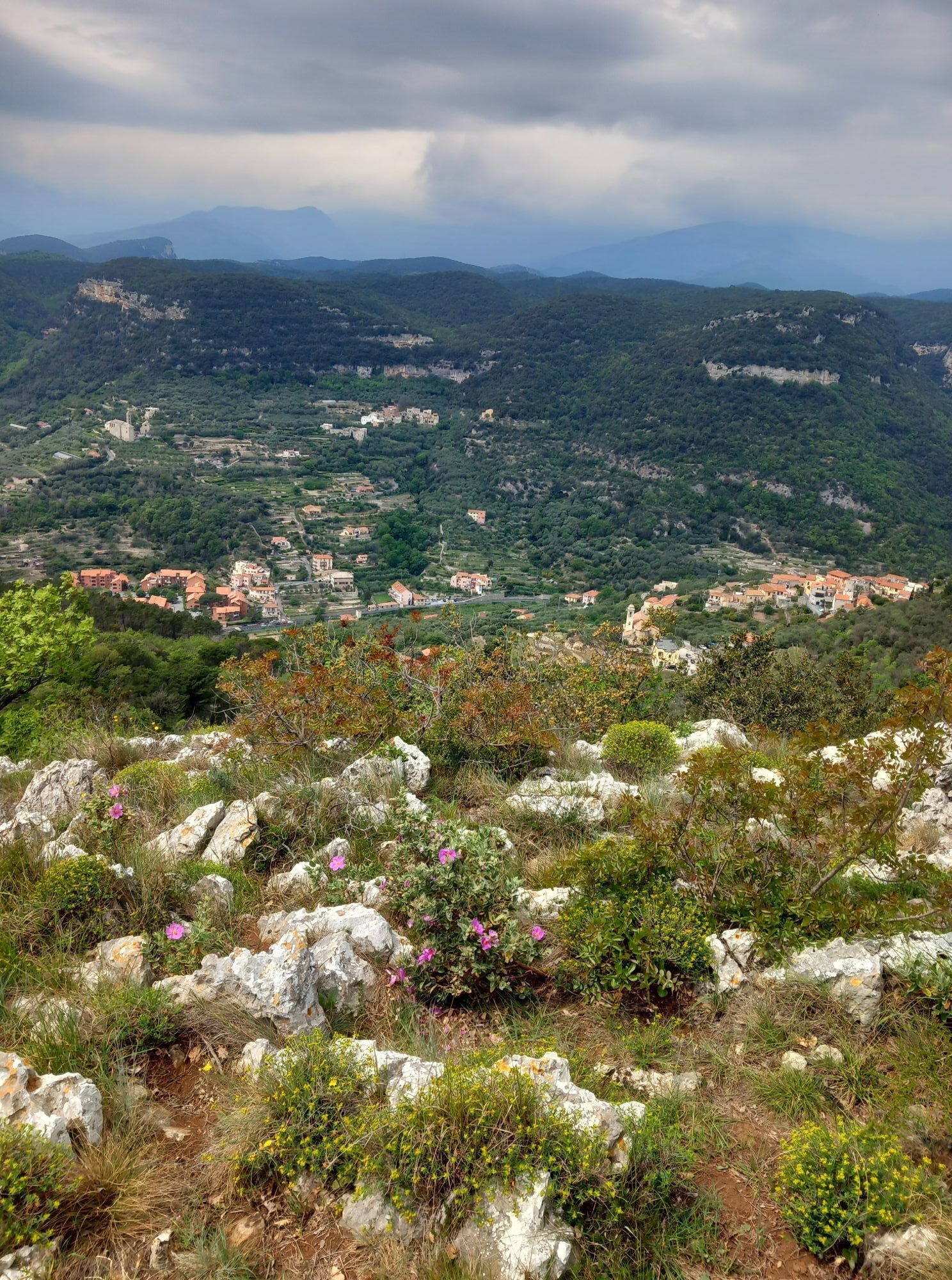
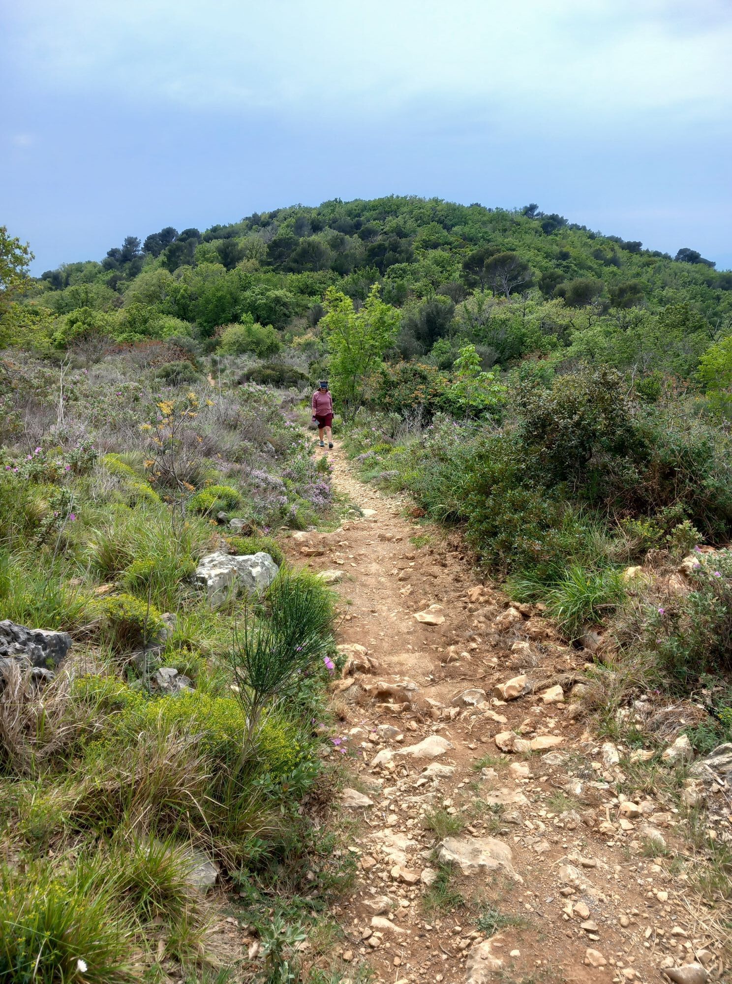
The route takes you almost immediately to a junction, turn left into the first descent. At the following junction turn right, keep going straight until you reach another junction where you will pick up the climb to the left and go uphill towards San Bernardino plateau. At the end of it, pick up the initial trail, this time following the main signposted track. At the junction near the barrier keep left and continue through the peculiar limestone outcrops until you reach Ciappo dei Ceci. Go back for about 100 m and descend to the right until you reach the rock walls. Near an abandoned campsite pick up the trail that goes uphill and leads to Orco, go across the village square and ride onto the dirt road that runs along the cemetery towards the descent to Boragni. Follow the directions to Magnone, then climb to the Manie plateau until you reach the panoramic spot of Bric dei Monti, from where the fourth descent of the day begins. From there on, you will reach quite a few junctions before you reach Monte near San Antonio church. Following the directions, via a mule-track, you will soon be at Finalpia. The route follows the racetrack of the FinalEnduro (first edition), organised in 2008, and leads you to discover panoramic spots such as Bric dei Crovi, Bric dei Monti or Punta Crena. Very impressive are the square Ciappo dei Ceci with its petroglyphs, the Monticello Dolmen and the caves, Grotte della Strapatente.

Access by car: Exit the motorway at the tollbooth of Finale Ligure, then continue towards the town centre. info: Associazione Finale Outdoor Resort - riccardo.negro@finaleoutdoorresort.com
Shuttle Service: not available
Finale Ligure
Classification: EN Difficulty: moderate Rideability +/- : 99% Water points: 4 Local Knowledge: www.finaleoutdoorresort.com
Kiertueen webbikamerat
Suosittuja retkiä naapurustossa
-
Forests and the sea
mediumE-Bike 43,6 km -
Pietra ligure trail
valoPolkujuoksu 8,64 km -
2,0
Finale Ligure
mediumMaantiepyörä 37,2 km -
Rocche Bianche e Monte Mao (Finale Ligure)
mediumMaastopyörä 37,0 km -
SV_08 Monte di Capo Noli e Caverna dei Falsari
Vaellus 5,49 km -
Trail no. 14: Giogo di Giustenice - Colle di Melogno
Vaellus 8,77 km -
Cravarezza
raskasMaastopyörä 46,0 km -
Mezza Costalunga Trail
mediumPolkujuoksu 17,7 km -
Manìe Mània
raskasMaastopyörä 26,9 km -
Terre Alte and Alta Via
mediumMaastopyörä 63,0 km
Vaellus & jäljitys


Älä jää paitsi tarjouksista ja inspiraatiosta seuraavaa lomaasi varten.
Sähköpostiosoitteesi on lisätty postituslistalle.