


Bad Zurzach-Achenberg-Zurzacherberg-Bad Zurzach


Exit Bad Zurzach Süd - ascent through the forest to the Red and White Cross - short detour to Rheintalblick (orientation board and nice rest area) - Achenberg (simple restaurant) - after the chapel, the...
Exit Bad Zurzach Süd - ascent through the forest to the Red and White Cross - short detour to Rheintalblick (orientation board and nice rest area) - Achenberg (simple restaurant) - after the chapel, the path branches off at the edge of the forest - turn left to the junction towards Schluchen and Ämmeribuck turn left to the junction towards Schluchen and Ämmeribuck - in Schluchen cross the road to the forest hut (orchid area) - after about 100 metres descent turn left (yellow signpost) - Zurziberg Passhöhe (bus stop for possible return journey to Bad Zurzach).
If desired: cross the main road - follow the yellow signposts to Hörnli (also a very nice rest area and orientation board) - continue following the signposts back to Bad Zurzach.

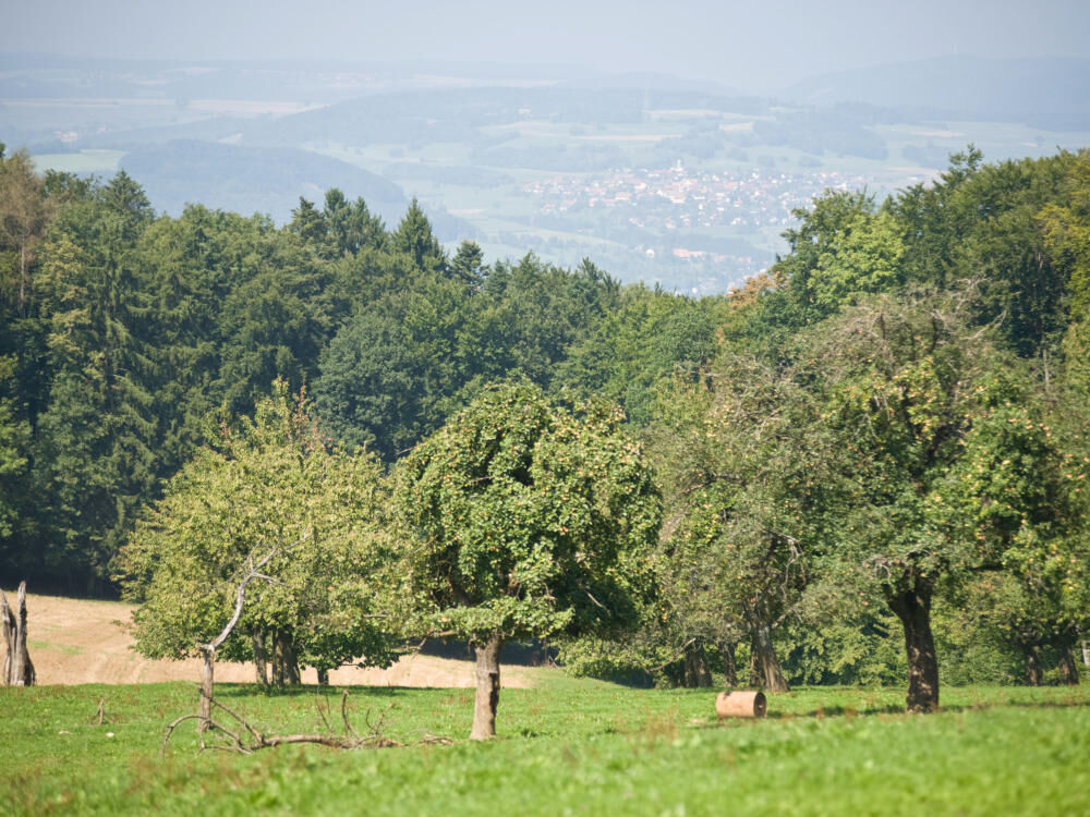
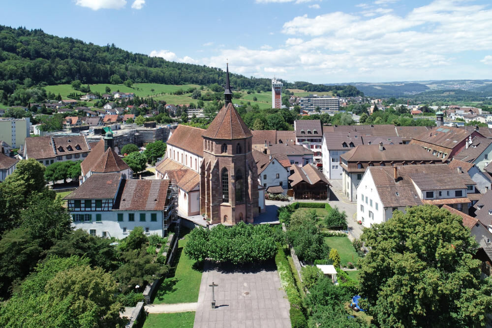
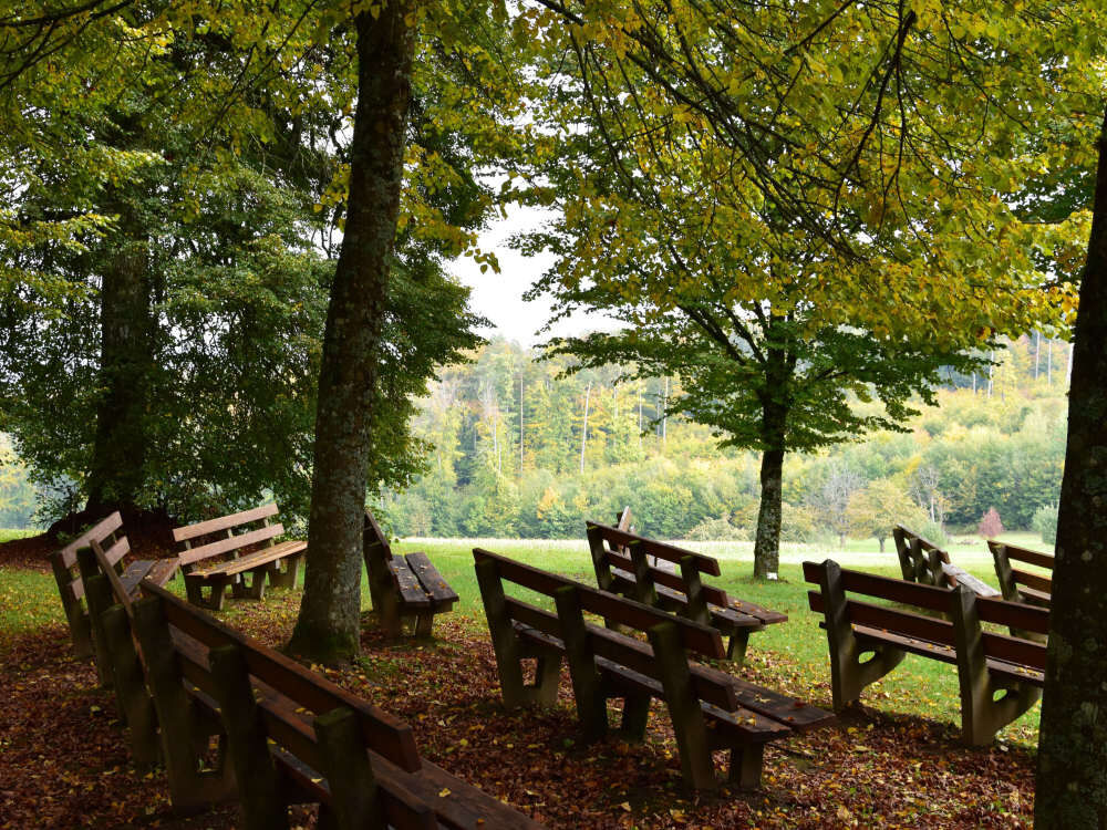

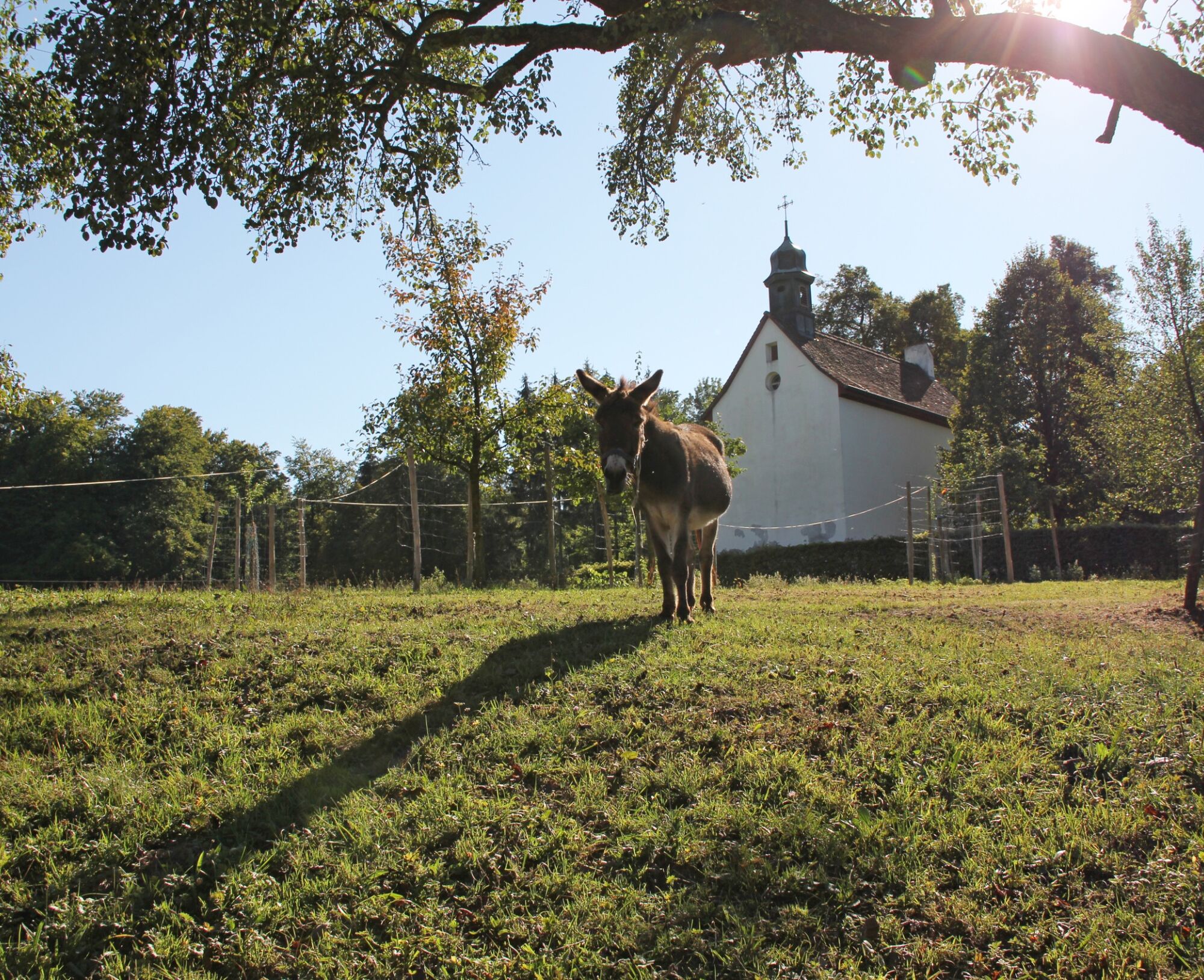
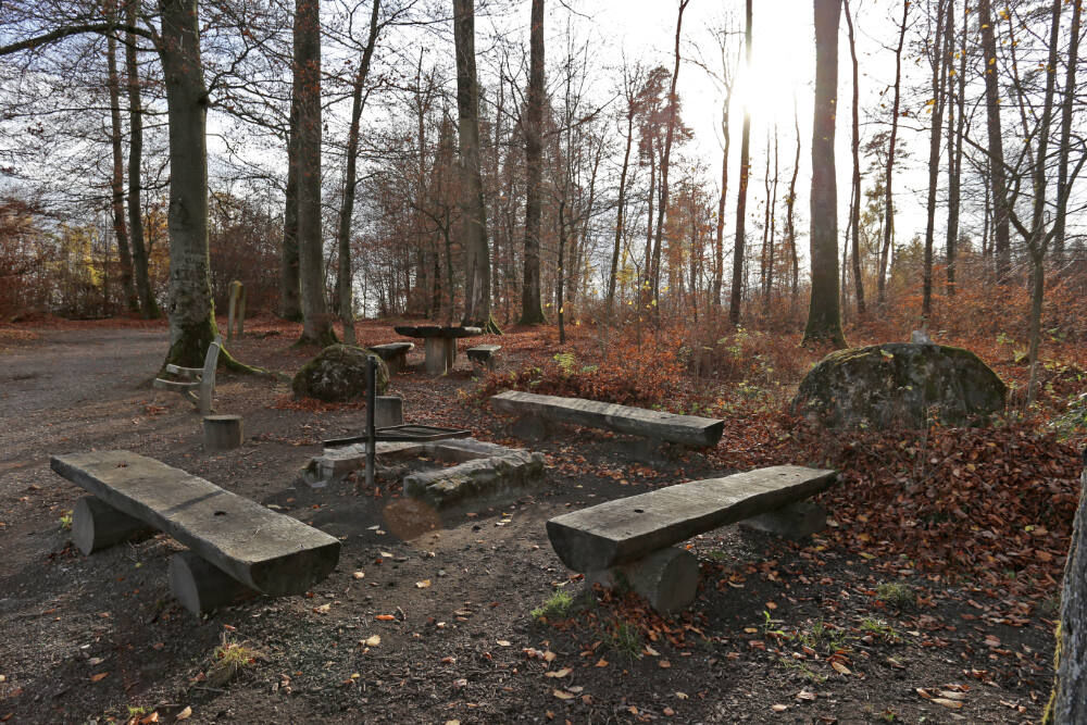
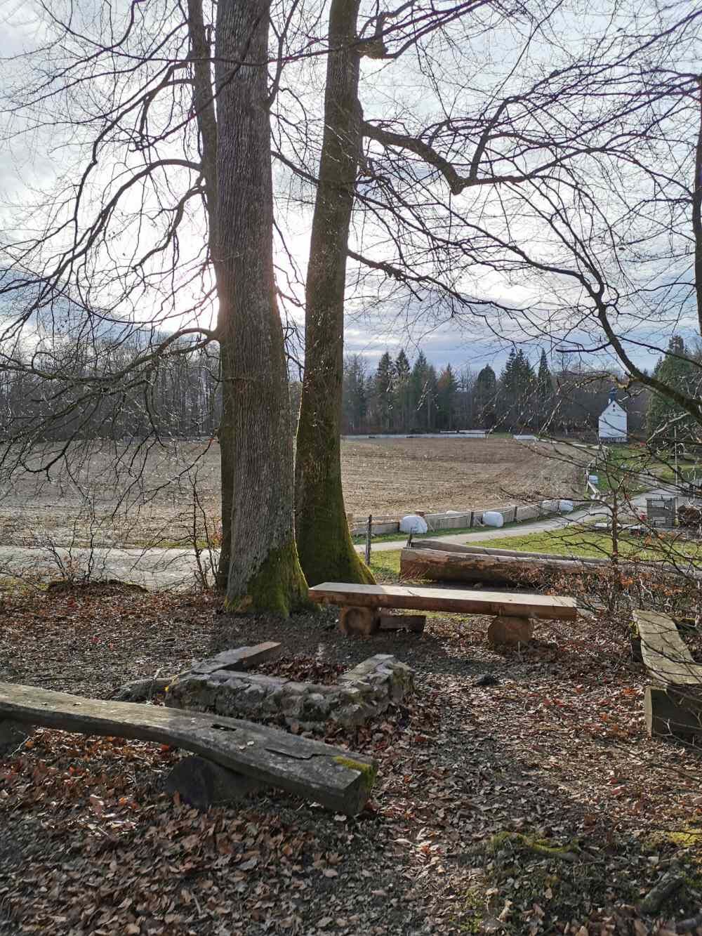
Exit Bad Zurzach Süd - ascent through the forest to the Red and White Cross - short detour to Rheintalblick (orientation board and nice rest area) - Achenberg (simple restaurant) - after the chapel, the path branches off at the edge of the forest - turn left to the junction towards Schluchen and Ämmeribuck turn left to the junction towards Schluchen and Ämmeribuck - in Schluchen cross the road to the forest hut (orchid area) - after about 100 metres descent turn left (yellow signpost) - Zurziberg Passhöhe (bus stop for possible return journey to Bad Zurzach).If desired: cross the main road - follow the yellow signposts to Hörnli (also a very nice rest area and orientation board) - continue following the signposts back to Bad Zurzach.
By car:
Bad Zurzach is around 25 minutes from Baden, 35 minutes from Zurich or Kloten Airport and 40 minutes from Schaffhausen.
By bus/train:
Bad Zurzach can be reached by bus from Brugg; or by train from Baden or Waldshut.
Parking is available in the paid car park of the Zurzach thermal baths.
See also:
Bad Zurzach Tourismus AG
Dr Martin Erb-Strasse 9
CH-5330 Bad Zurzach
Tel: +41 (0)56 269 00 60
Fax: +41 (0)56 269 00 69
E-mail:welcome@badzurzach.info
Internet:www.badzurzach.info
Catering: From your rucksack or in restaurants en route.
Public transport: Postbus line 360 (Brugg - Bad Zurzach)
Suosittuja retkiä naapurustossa
-
3,8
Chänzeli -Tour: Eine Panorama - Stadtwanderung
valoVaellus 7,81 km -
5,0
Lägerngrat hike
mediumVaellus 12,0 km -
Around the Klingnau reservoir
valoVaellus 10,7 km -
From water to wine and back
mediumMaantiepyörä 39,2 km -
Klingnau reservoir
valoMaantiepyörä 24,4 km -
5,0
Amazon hike
mediumTeemareitti 20,2 km -
Rundkurs mit Start & Ende in Endingen
valoVaellus 12,2 km -
4,0
E-bike tour through the Zurzibiet
mediumPyöräily 42,9 km -
Wellness tour in the Zurzibiet
raskasPyöräily 69,2 km -
Zurzibiet e-bike pleasure tour
mediumPyöräily 46,7 km
Vaellus & jäljitys


Älä jää paitsi tarjouksista ja inspiraatiosta seuraavaa lomaasi varten.
Sähköpostiosoitteesi on lisätty postituslistalle.