


Panoramic hike Tegerfelden


From the Staltig community centre, the first few metres of your panoramic journey lead past the 137-year-old school building, the Catholic chapel and the venerable chlorine grotto to the church, the landmark...
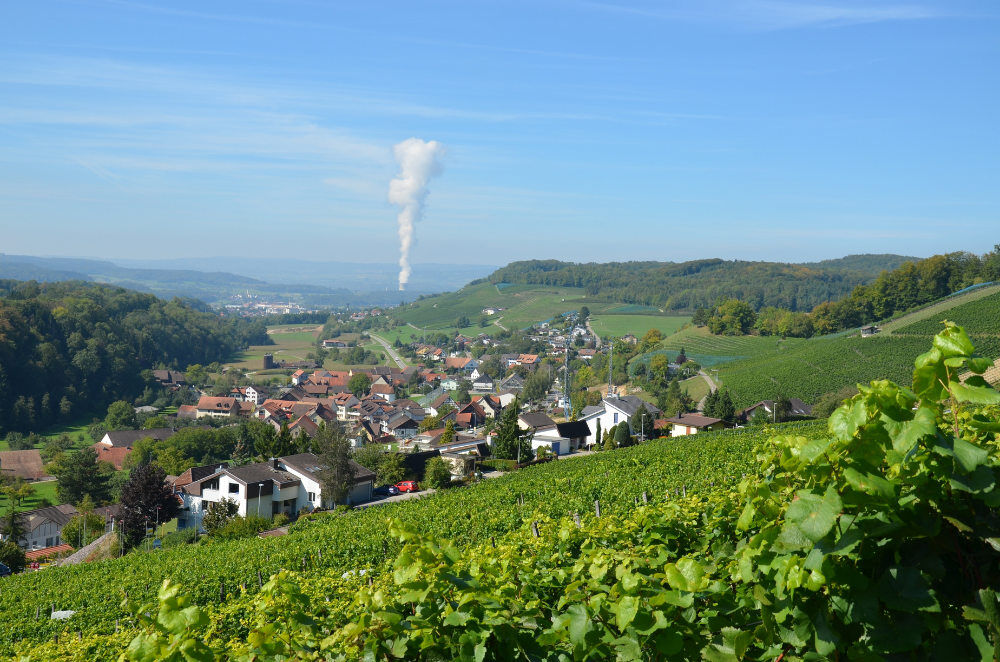
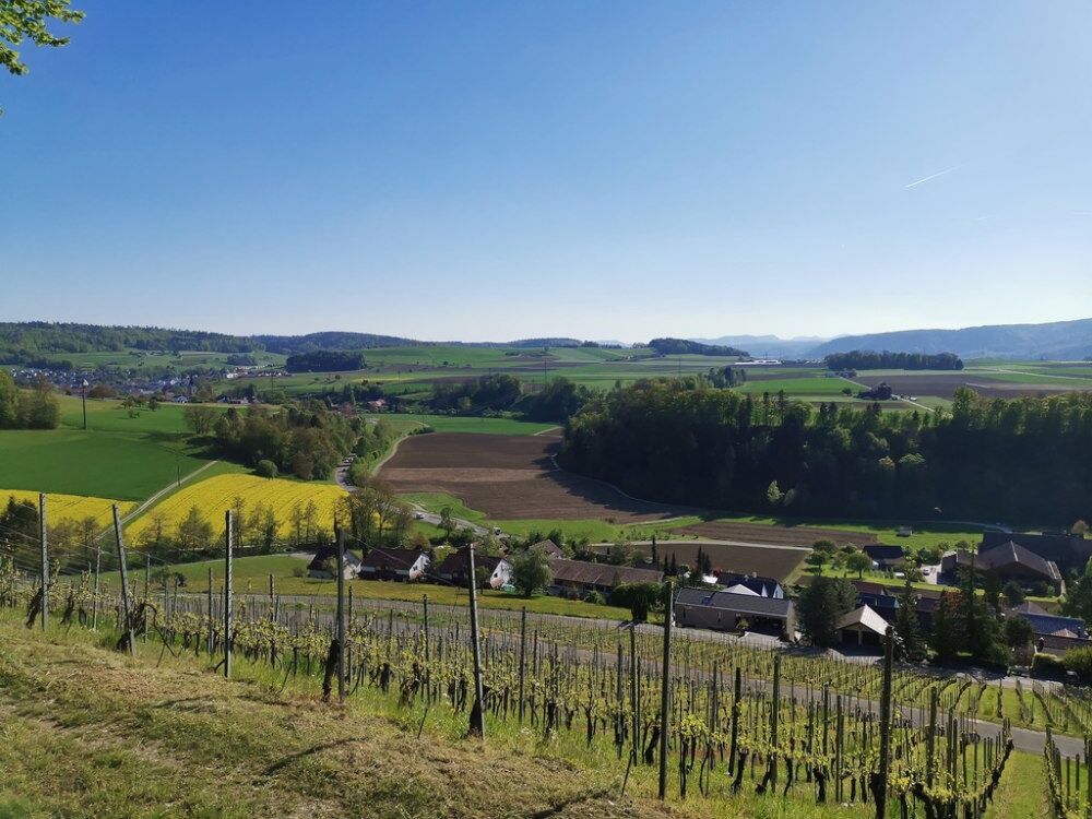
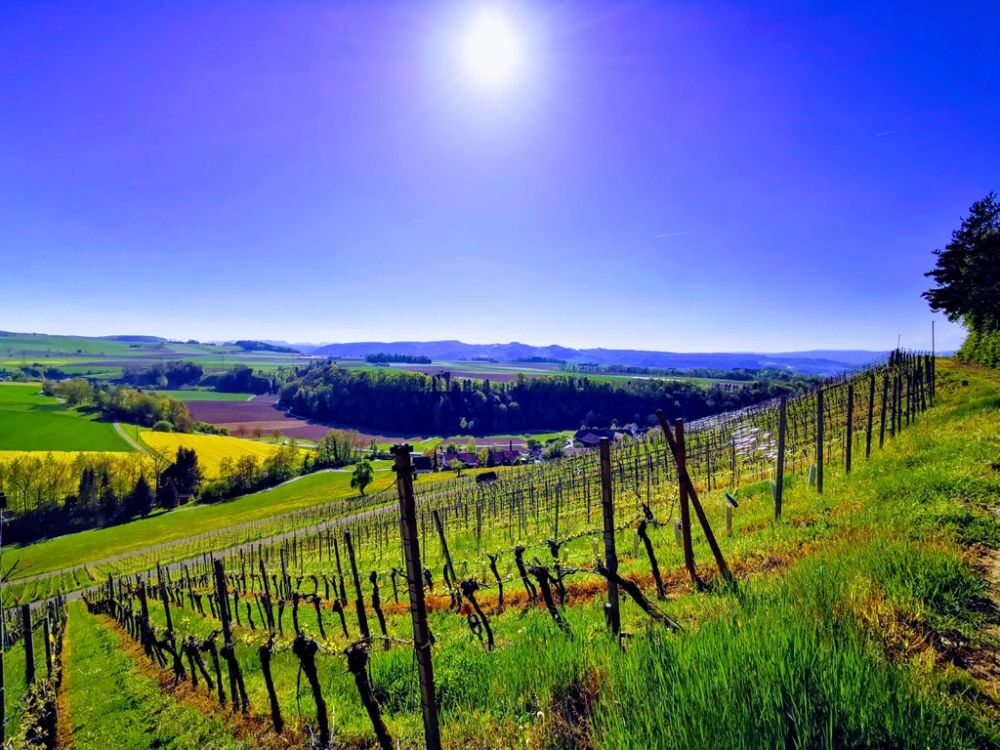
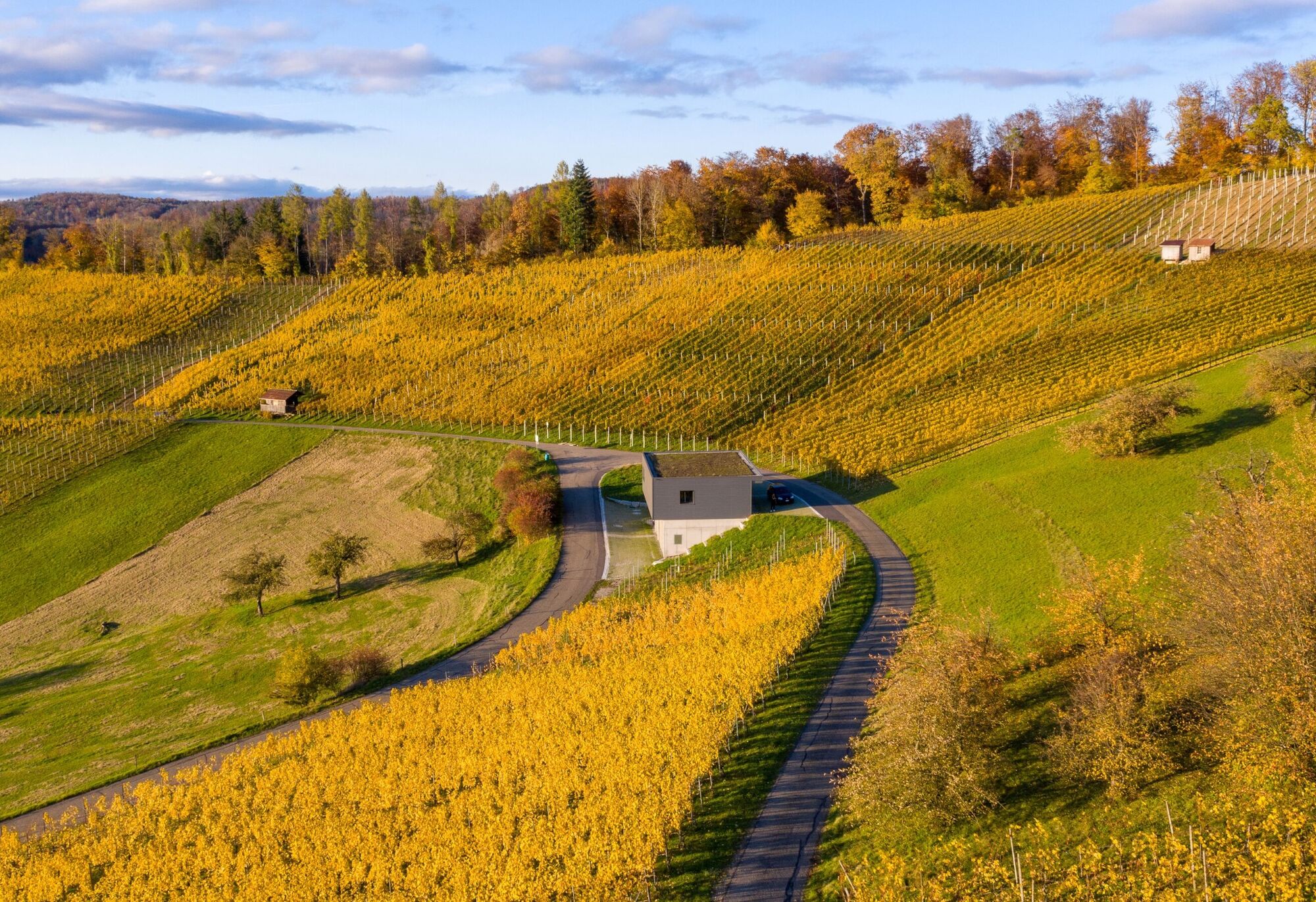
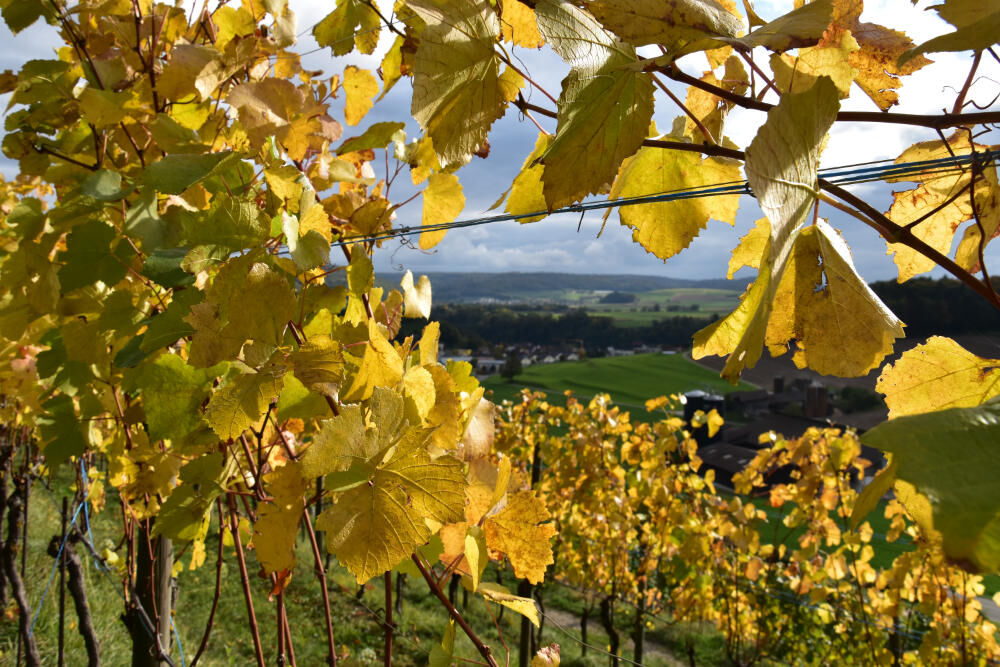
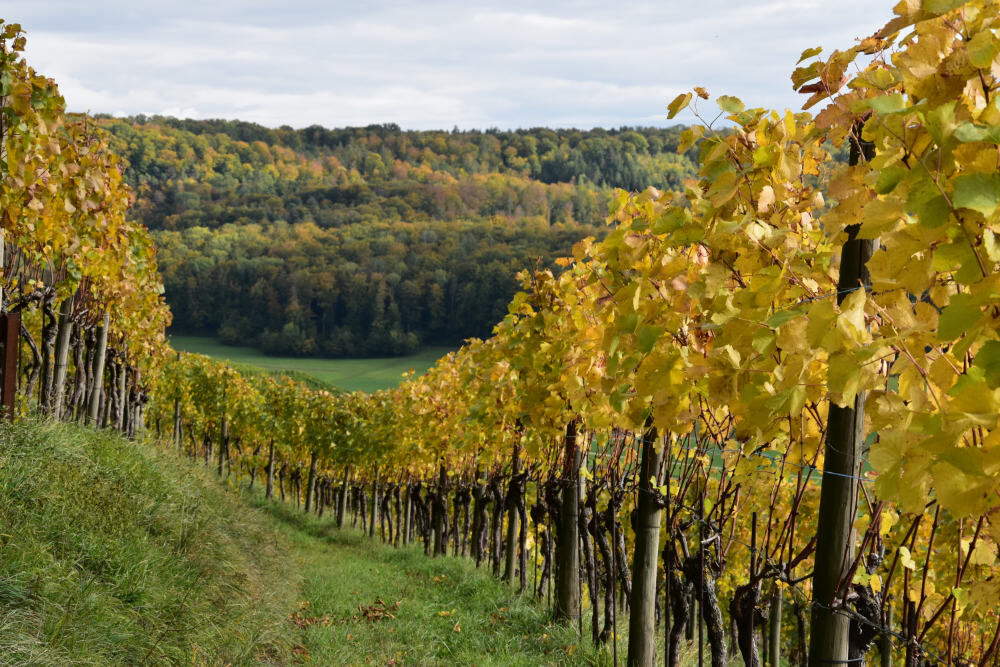
From the Staltig community centre, the first few metres of your panoramic journey lead past the 137-year-old school building, the Catholic chapel and the venerable chlorine grotto to the church, the landmark of the 350-year-old Reformed parish. A short climb takes you up to the Chälle. From here, you are accompanied by a marvellous view over the Surbtal and the Ruckfeld as far as the moated castle. You can enjoy the peace and quiet in the forest section of the panoramic trail and discover many a mysterious spot. The vines on the Neuberg nestle against the Zurziberg and just below the top of the pass you cross the cantonal road. At the northernmost point of your journey, the cosy fireplace high above the Senneloch invites you to linger. Passing the vineyards of the Alte Berg, you now return to the village, where you can enjoy a well-earned final drink in the Wartegg or Löwen.

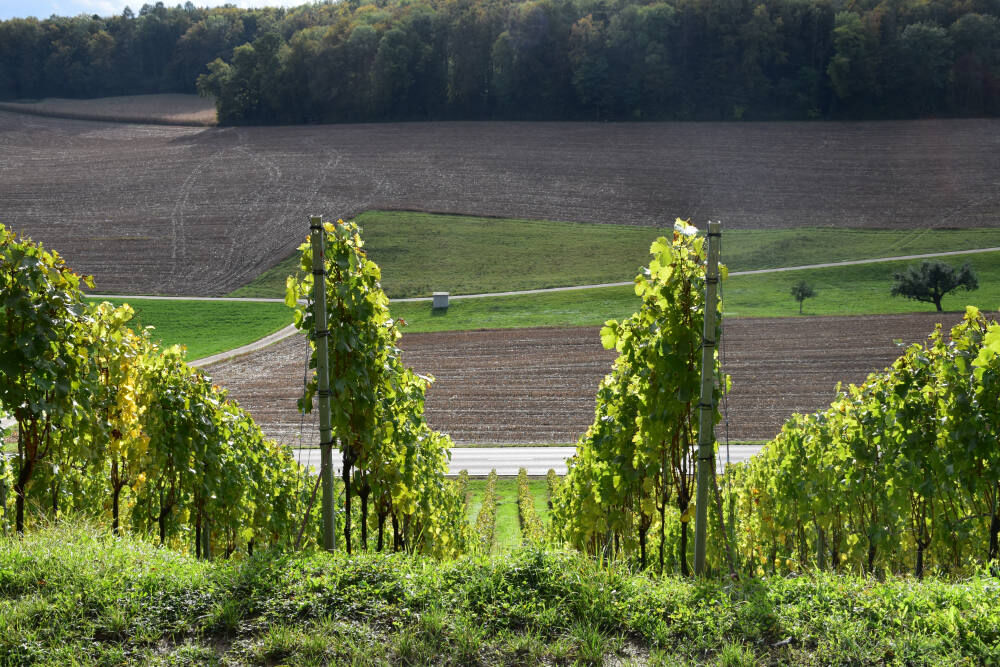
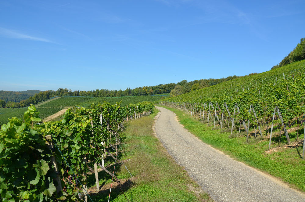
Staltig - schoolhouse - church - Dorfstrasse - cantonal road subway - right over the bridge over the stream - along the edge of the forest - through the forest - Stockrebe vineyard and Loch - into the forest - Neuberg vineyard - cross the Bad Zurzach cantonal road - Waldhof farm - into the forest towards Döttingen - Alter Berg vineyard - down into the Guggenbüel neighbourhood - Staltig
Kyllä
Kyllä
Kyllä
Tegerfelden can be reached within 20 minutes from Baden, within 40 minutes from Zurich and within 60 minutes from Lucerne and Basel.
You can reach Tegerfelden by bus from Baden, Döttingen and Niederweningen.
There are car parks at the municipality, the school building and the church.
Pleasure tip - Wine... Study the vineyards and grape varieties. The anticipation grows for a glass of wine in one of the two local restaurants Wartegg and Löwen.
Suosittuja retkiä naapurustossa
-
3,8
Chänzeli -Tour: Eine Panorama - Stadtwanderung
valoVaellus 7,81 km -
4,5
Lägern Rundwanderung
mediumVaellus 13,0 km -
5,0
Lägern ridge hike
mediumVaellus 12,0 km -
4,0
Cross-border Rhine riverside path
valoVaellus 7,81 km -
Around the Klingnau reservoir
valoVaellus 10,7 km -
Bad Zurzach-Achenberg-Zurzacherberg-Bad Zurzach
mediumVaellus 8,74 km -
From water to wine and back
mediumMaantiepyörä 39,2 km -
Klingnauer Reservoir
valoMaantiepyörä 24,4 km -
5,0
Amazon hike
mediumTeemareitti 20,2 km -
Rundkurs mit Start & Ende in Endingen
valoVaellus 12,2 km
Vaellus & jäljitys


Älä jää paitsi tarjouksista ja inspiraatiosta seuraavaa lomaasi varten.
Sähköpostiosoitteesi on lisätty postituslistalle.