


alpannonia stage 3: Mönichkirchen - Hochneukirchen


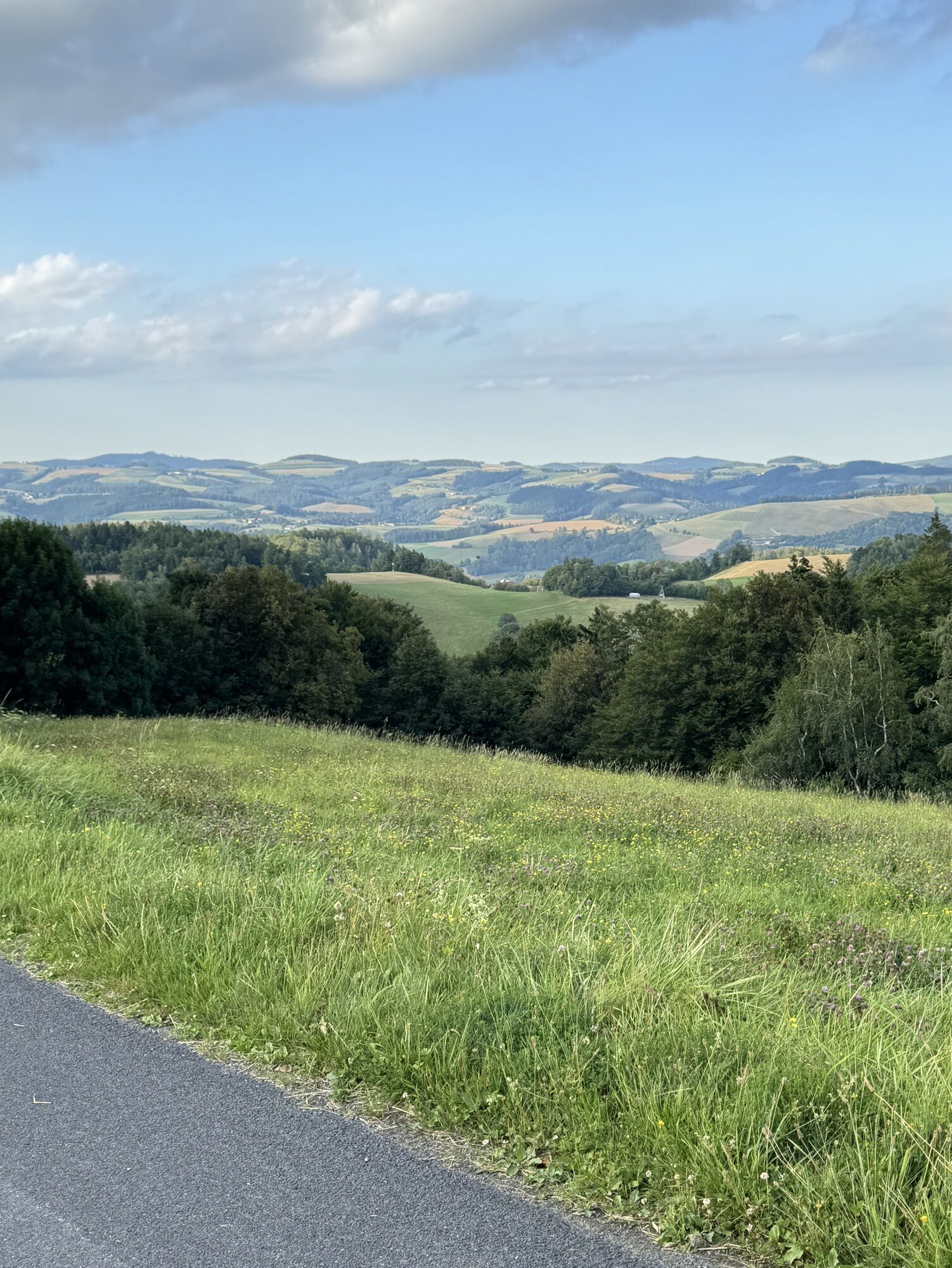
After the town of Mönichkirchen, you cross the federal road and then hike over fields and forest paths along the Austrian long-distance hiking trail 02. At the motorway crossing, a section with paved paths...
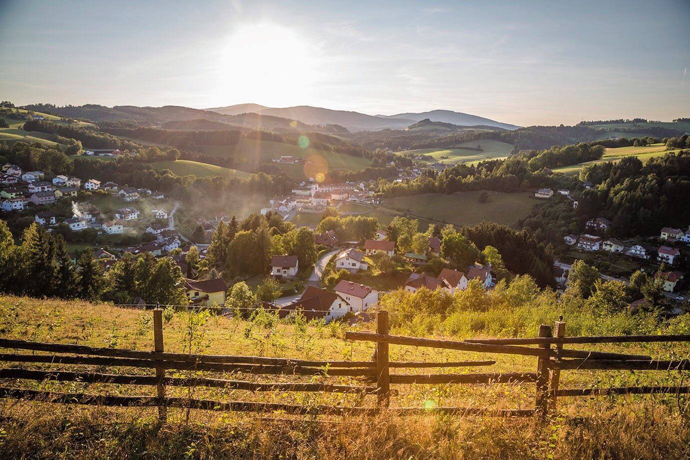
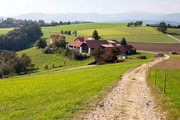
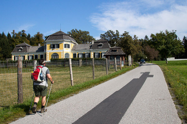
After the town of Mönichkirchen, you cross the federal road and then hike over fields and forest paths along the Austrian long-distance hiking trail 02. At the motorway crossing, a section with paved paths begins. The scenic and varied route between fields, meadows, and forest areas compensates for the paved paths that connect the small places Schlag, Pichl, and Hosien. Before Pichl, you also pass by Ziegersberg Castle (private). A forest path continues to Hosien and then to our stage destination Hochneukirchen (parking lot Hutwisch).
Overnight option: shuttle service from the stage destination or further on foot via the regional route to Bad Schönau.

Kyllä
Always take suitable maps with you. Wear sturdy shoes adapted to the route, bring sun and rain protection as well as water and a small snack. Take your mobile phone and save the mountain rescue emergency number: 140
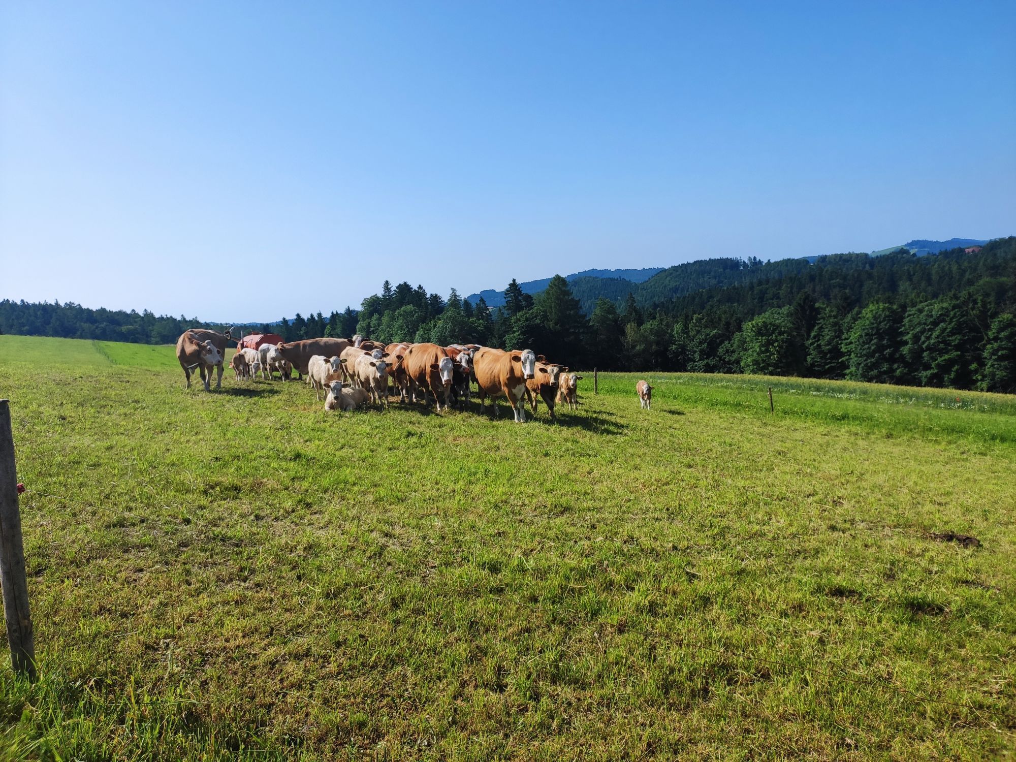
Proper behavior when encountering grazing animals:
www.alpannonia.at/verhaltenstipps-fuer-wandergaeste-auf-beweideten-almen
Make sure when choosing the route that it matches your mountain experience and fitness. Check the weather forecast in advance. The weather in the mountains can change suddenly. Therefore, always start equipped accordingly (e.g., rain protection).
Check if the huts and snack stations you want to visit on the way are open. Inform someone about your route choice and planned return before you set off.
Via A2 exit Schäffern or Aspang and Wechsel federal road to Mönichkirchen
By train to Aspang/Markt (from the north) or to Pinggau/Friedberg, then by bus to Mönichkirchen
Arrival: Public transport to the Vienna Alps
Various parking options in Mönichkirchen, e.g., large parking lot at the base lift station
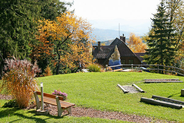
Gourmet tip in Hochneukirchen: s'Hutwisch - The inn on the roof of the world with all kinds of regional, sustainable, and healthy delicacies.
Suosittuja retkiä naapurustossa
-
4,3
Schaukelweg
valoTeemareitti 3,53 km -
3,8
Bucklige Welt: Burg Grimmenstein und Kulmriegel
valoVaellus 10,5 km -
4,4
Bad Schönau - Hutwisch
valoVaellus 9,99 km -
4,3
Mönichkirchner Genussrunde
valoVaellus 10,1 km -
4,7
Aspang Hochwechsel Panorama-Runde Wexl Trails mit "The WU"
mediumMaastopyörä 57,5 km -
5,0
Hochwechsel - Tour
Vaellus 18,5 km -
4,5
Wechselgebiet: Niederwechsel
Vaellus 7,03 km -
4,8
“Weg der Blicke” (path of glances) – Bad Schönau
valoVaellus 5,99 km -
4,7
Rund um den Kogel
mediumVaellus 9,38 km -
Mönichkirchen zum Niederwechsel
valoVaellus 16,8 km
Vaellus & jäljitys


Älä jää paitsi tarjouksista ja inspiraatiosta seuraavaa lomaasi varten.
Sähköpostiosoitteesi on lisätty postituslistalle.