


BergeSeen Trail 04: St. Wolfgang - St. Gilgen


Stage 4 which leads from St. Wolfgang to St. Gilgen is particularly scenic. The route first ascends to the splendidly situated Schafbergalm Meadow. The last section is a hike on the romantic shore path...
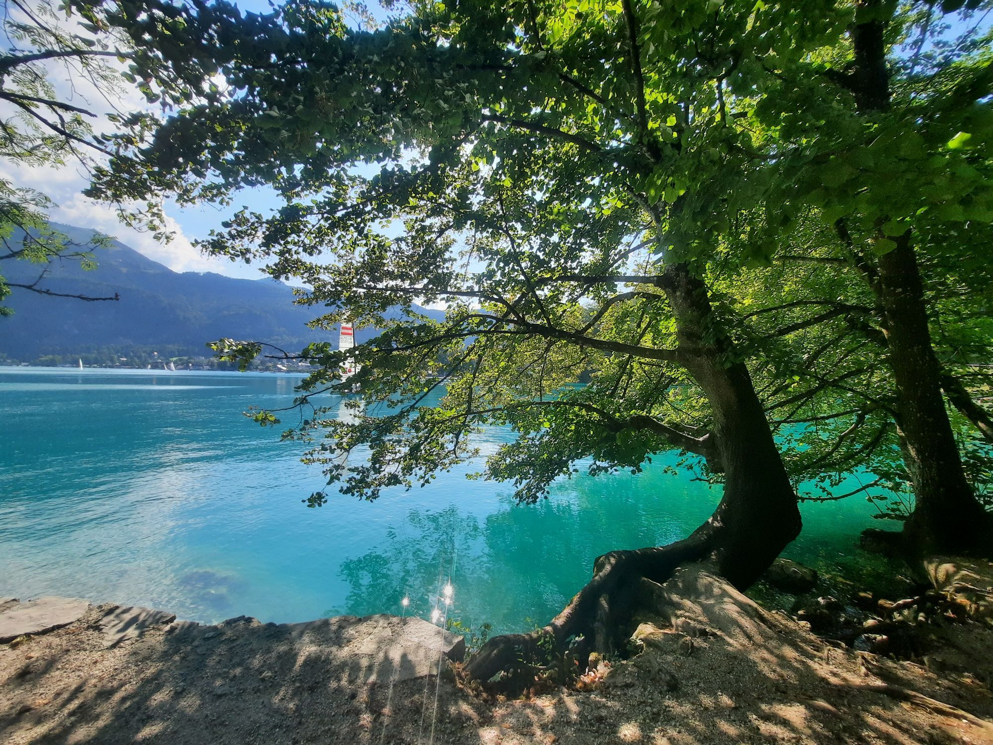
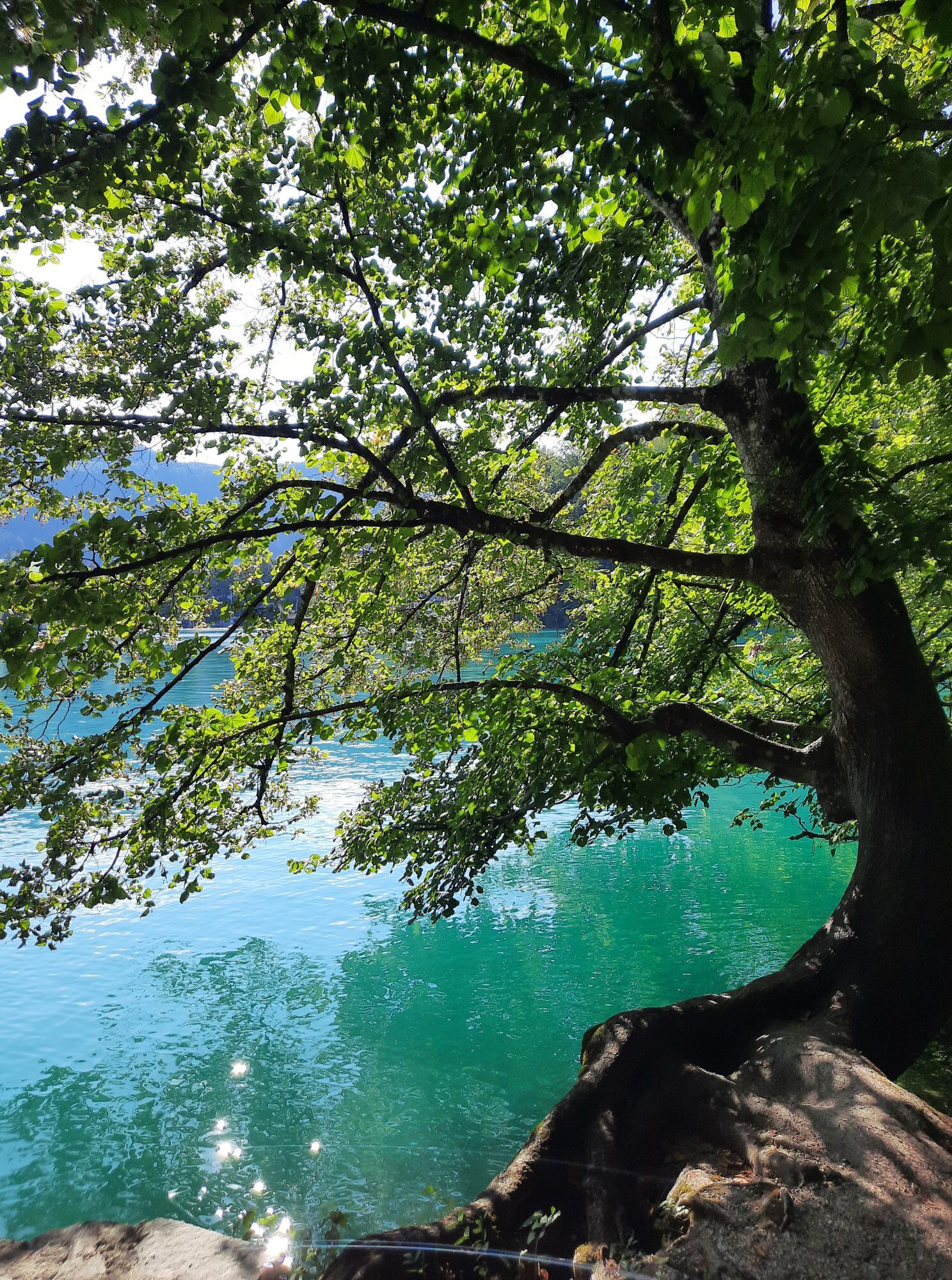
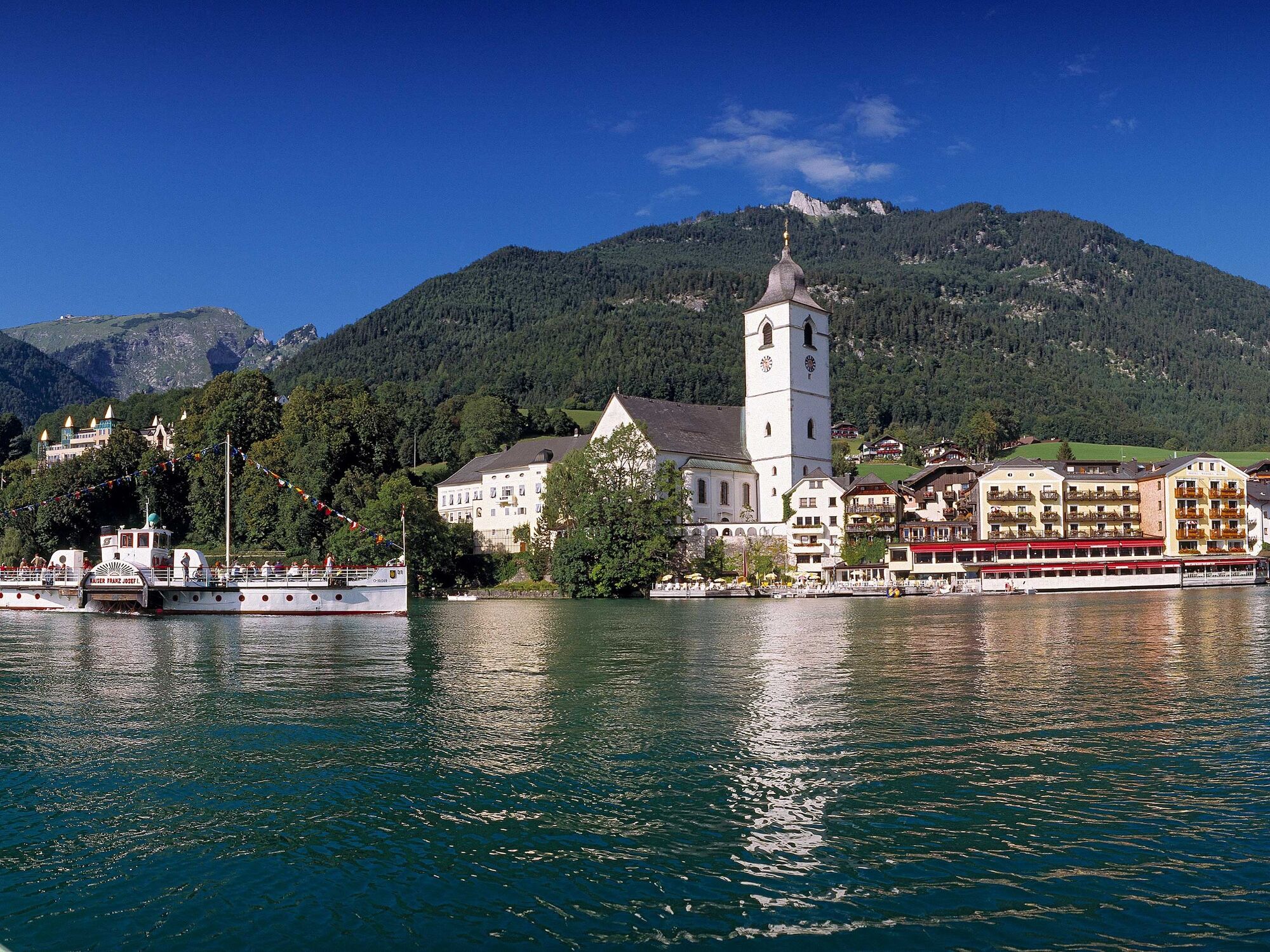
Stage 4 which leads from St. Wolfgang to St. Gilgen is particularly scenic. The route first ascends to the splendidly situated Schafbergalm Meadow. The last section is a hike on the romantic shore path along Lake Wolfgang to St. Gilgen.

From the tourism office in St. Wolfgang, located at the eastern entrance of the bypass road tunnel, the trail follows the street and soon arrives at the market square in front of the pilgrimage church. At the beginning of the market square (trail marker), head to the right through Florianigasse and then along the Kalvarienbergweg path to the first chapel. The route then ascends stairs to the left. Keeping left at the fork, the trail continues along the shady Malersteig path to a hill.
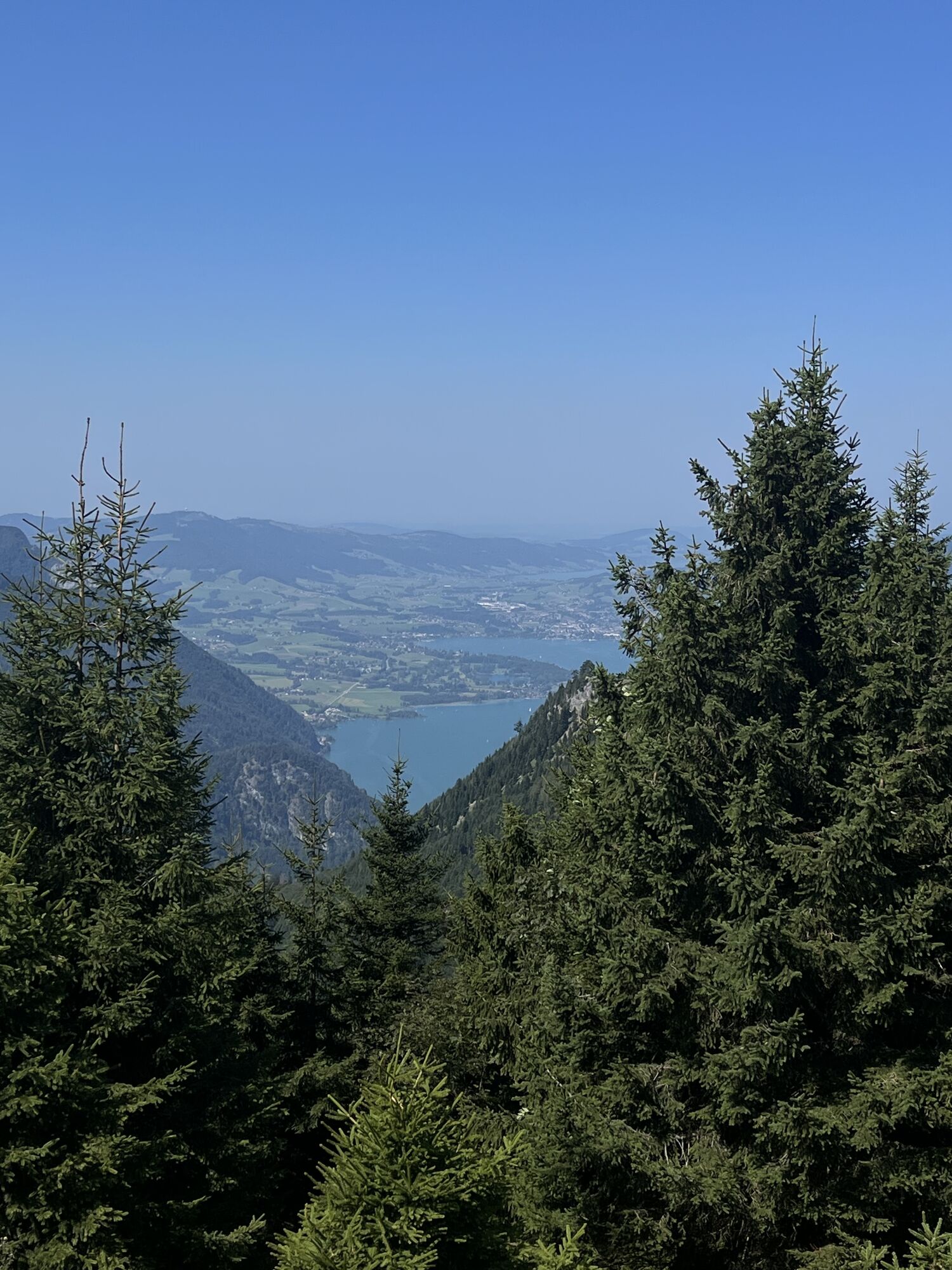
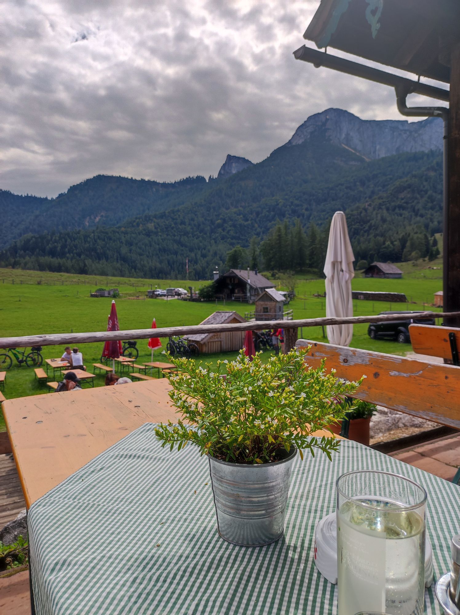
Then go down the stairs to an intersection and continue uphill along the mountain road for 50 metres. Then turn left on a path to the Dittlbach Stream (border between Upper Austria and Salzburg). Just beyond the stream, the trail arrives at the snack station Aschinger. The wide Schafbergweg Trail begins here. This sometimes-steep trail leads to the Dorneralm Meadow (1020 m). The route continues to ascend through the forest to the edge of the Schafbergalpe (1304 m; Schafbergbahn station). 2:00 h
The trail (no. 20/804) continues to descend to Winkl. After a short stretch along the forest road, head right and downhill through the forest, thereby crossing the forest road twice. In the community of Winkl (600 m), turn left at Haus Sonnwinkel towards “Fürberg” and hike along the edge of the forest, past the neighbourhood of Aich to a street, which you take down to Lake Wolfgang and Hotel & Gasthof Fürberg (545 m). 1:00 h
The last section of this stage offers an additional scenic highlight, namely the hike along the enchanting lakeside path to Brunnwinkl and onward to St. Gilgen (545 m). 1:00 h
For all stages, you will need hiking or mountain boots with treaded rubber soles as well as wind- and rainproof clothing. A change of clothes and a small first-aid kit should also be included in your backpack. The amount of provisions you should pack depends on the number of available rest stops. In any case, you should always take along plenty to drink. Telescopic poles are helpful, especially when walking downhill.
In alpine terrain, be aware of the danger of falling rocks.
Through early summer, you may encounter steep snowfields or firn gullies – especially during icy conditions, there is an acute risk of falling and thus fatal injury!
Due to storm damage, forestry work or construction work, individual trail sections may be difficult or impassable at times.
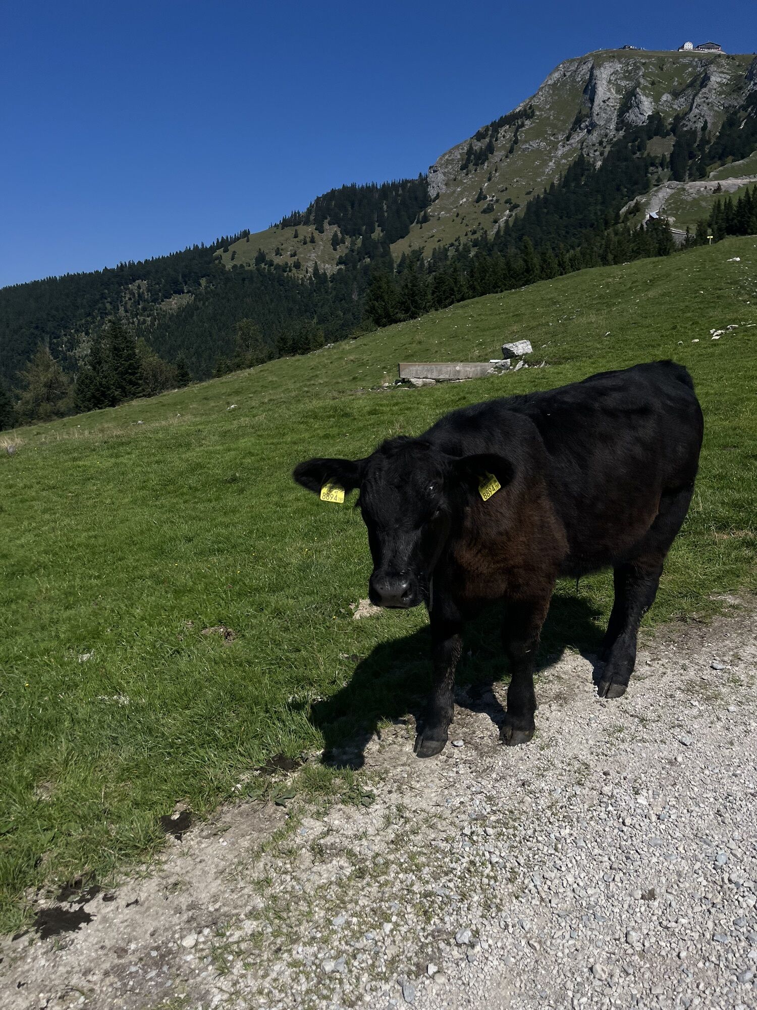
Cows in the alpine meadows are often curious. Because they are nursing mothers, they develop a strong tendency to protect their calves. Therefore, move through cow pastures quietly, keep at least 20 metres of distance to the animals and never pet calves! In the case of threatening behaviour (pawing, stamping) slowly back away (do not turn your back). Keep dogs on a leash. They must not bark at or chase cows. In the case of an attack, the dog must be released from the leash.
Text kindly provided by the publisher KOMPASS-Verlag and Wolfgang Heitzmann.
Further information at trail.salzkammergut.at
: The Schafberg Mountain Railway opens at 9:15 AM at the Schafberg train station in Robert-Stolz-Straße west of the town centre.
www.schafbergbahn.at
Note: You can comfortably travel by cogwheel railway from St. Wolfgang to the Schafbergalm Meadow. This will save you two hours of hiking time. However, there is an approximately 10-minute descent from the train station to the above-mentioned trail marker.
Summit detour: To the Schafberg (1782 m) – see tour G3, p. 243. Hikers staying overnight in the hotel at the Schafberg summit need approximately 1 hour to walk downhill along an especially scenic trail to arrive at the Schafbergalm. 1:30 h.
Kiertueen webbikamerat
Suosittuja retkiä naapurustossa
-
4,8
Schober -Aussichtsplattform mit Seensicht
raskasVaellus 2,65 km -
4,8
Eisenaualm
mediumMaastopyörä 37 km -
4,8
Schafberg
mediumKorkea kiertue 16,7 km -
4,8
Schoberstein Attersee
mediumVaellus 5 km -
4,7
/\ Sparber
raskasVaellus 6,82 km -
4,6
Schafberg
mediumVaellus 6,85 km -
4,6
Almkogel Rundwanderung Salzburg
valoVaellus 9,60 km -
4,6
Nixenfall Steinbach am Attersee, Österreich
valoVaellus 4,74 km -
4,6
4 Gipfel Runde
mediumVaellus 13,1 km -
4,3
Schafberg von Sankt Wolfgang über die Dorneralm und Schafbergalpe auf die Schafbergspitze
mediumVaellus 7,72 km
Vaellus & jäljitys


Älä jää paitsi tarjouksista ja inspiraatiosta seuraavaa lomaasi varten.
Sähköpostiosoitteesi on lisätty postituslistalle.