


BergeSeen Trail D1: Gosau-Hintertal - Adamekhütte


Kuvia käyttäjistämme
-

 © Anton Salmer-TritscherLuotu 11.10.2023
 -
 © Chantal PlettenbergLuotu 04.07.2023
 -
 © Jürgen ClementLuotu 10.06.2023
 -
 © Jürgen ClementLuotu 10.06.2023
 -
 © Sven KrieblinLuotu 11.10.2025
 -
 © Sven KrieblinLuotu 11.10.2025
 -
 © Sven KrieblinLuotu 11.10.2025
 -
 © Sven KrieblinLuotu 11.10.2025
 -
 © Sven KrieblinLuotu 11.10.2025
 -
 © Sven KrieblinLuotu 11.10.2025
 -
 © Sven KrieblinLuotu 11.10.2025
 -
 © Sven KrieblinLuotu 11.10.2025
 -
 © Sven KrieblinLuotu 11.10.2025
 -

 © Andrea BrezovicovaLuotu 05.09.2025
 -
 © Andrea BrezovicovaLuotu 05.09.2025
 -

 © Alfred ThalerLuotu 04.09.2025
 -

 © krailbergLuotu 04.09.2025
 -
 © krailbergLuotu 04.09.2025
 -
 © krailbergLuotu 04.09.2025
 -
 © Alfred ThalerLuotu 04.09.2025
 -
 © Alfred ThalerLuotu 04.09.2025
 -
 © krailbergLuotu 04.09.2025
 -
 © krailbergLuotu 04.09.2025
 -
 © krailbergLuotu 04.09.2025
 -
 © krailbergLuotu 04.09.2025
 -
 © Gassenbauer PatrikLuotu 01.09.2025
 -
 © CTLuotu 31.08.2025
 -
 © CTLuotu 31.08.2025
 -
 © CTLuotu 31.08.2025
 -
 © CTLuotu 31.08.2025
 -
 © CTLuotu 31.08.2025
 -
 © CTLuotu 31.08.2025
 -
 © CTLuotu 31.08.2025
 -
 © CTLuotu 31.08.2025
 -
 © CTLuotu 31.08.2025
 -
 © CTLuotu 31.08.2025
 -
 © CTLuotu 31.08.2025
 -
 © Joris van FessemLuotu 25.08.2025
 -
 © Ferry Engelhardt 1Luotu 31.07.2025
 -
 © Ferry Engelhardt 1Luotu 31.07.2025
 -
 © ViktoriaLuotu 19.06.2025
 -

 © Torsten KleinLuotu 16.06.2025
 -
 © Torsten KleinLuotu 16.06.2025
 -
 © Marko AdrianLuotu 17.04.2025
 -
 © Marko AdrianLuotu 17.04.2025
 -
 © Marko AdrianLuotu 17.04.2025
 -
 © Marko AdrianLuotu 17.04.2025
 -
 © Marko AdrianLuotu 17.04.2025


Description:
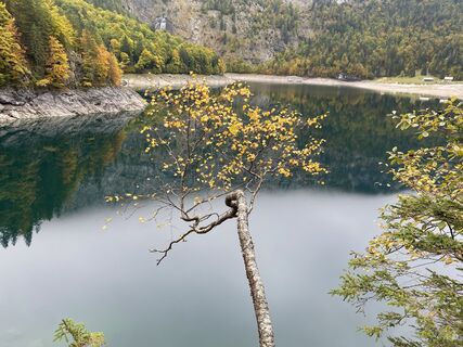
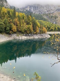
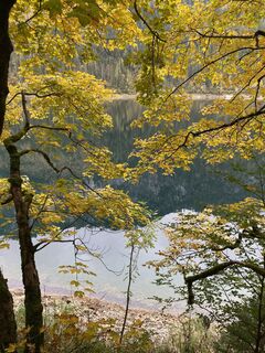
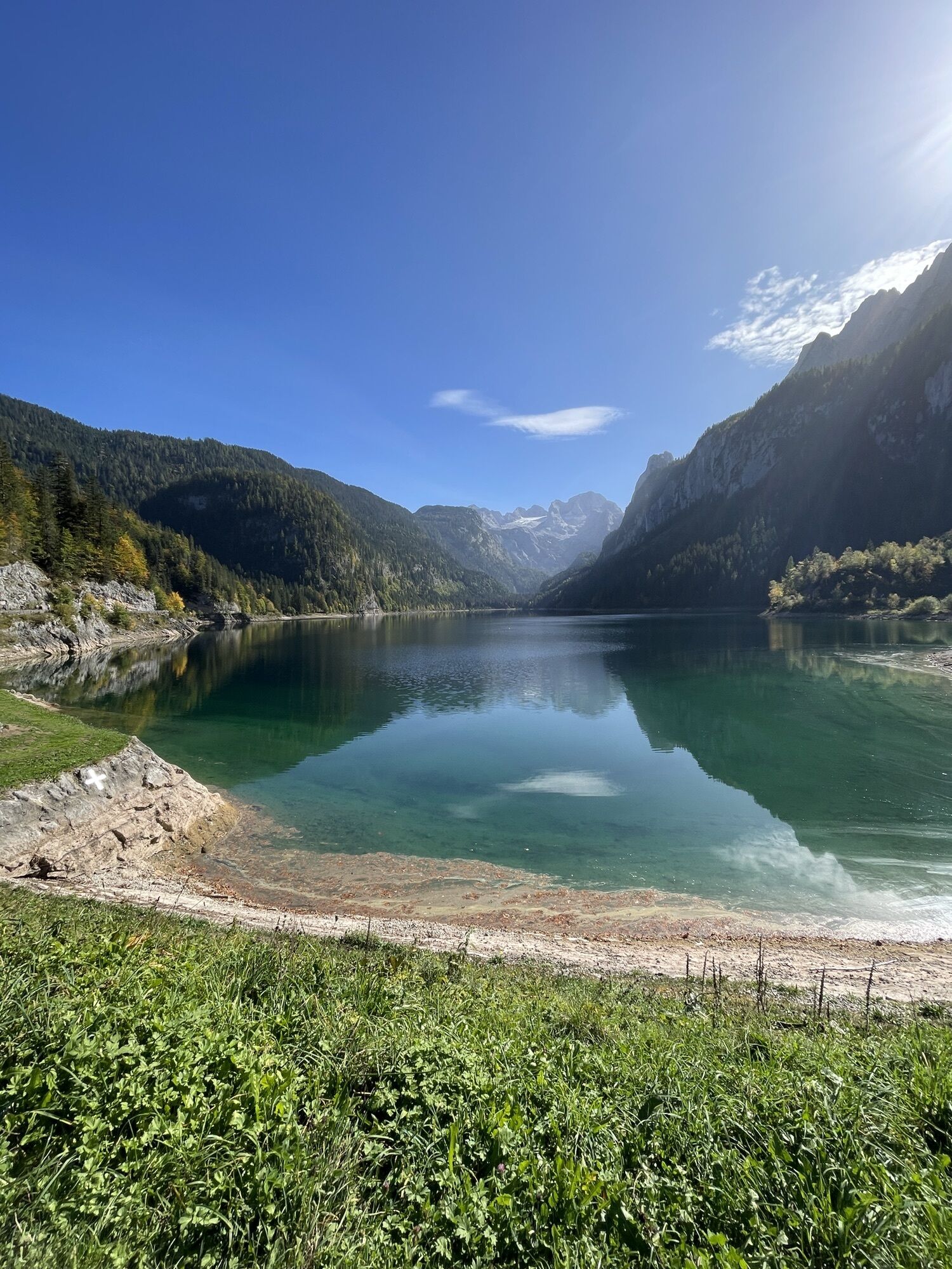
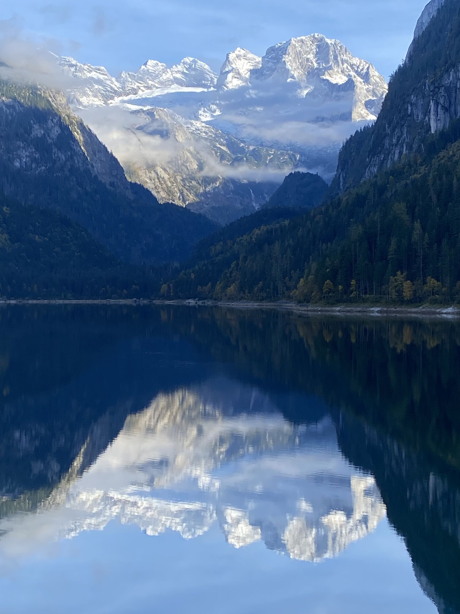
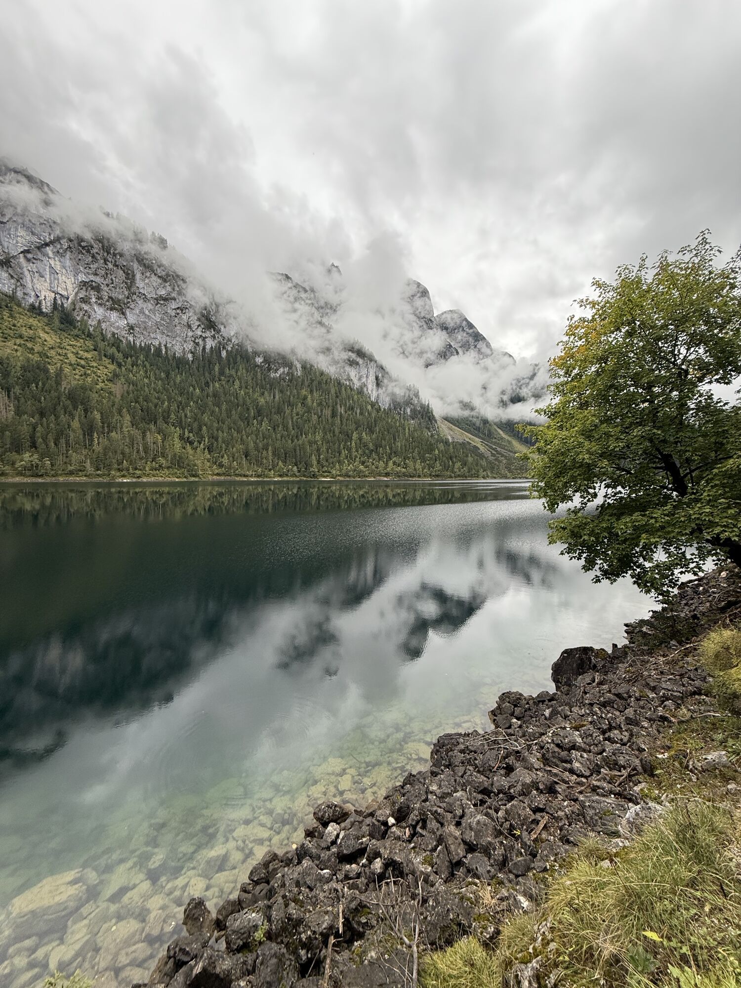
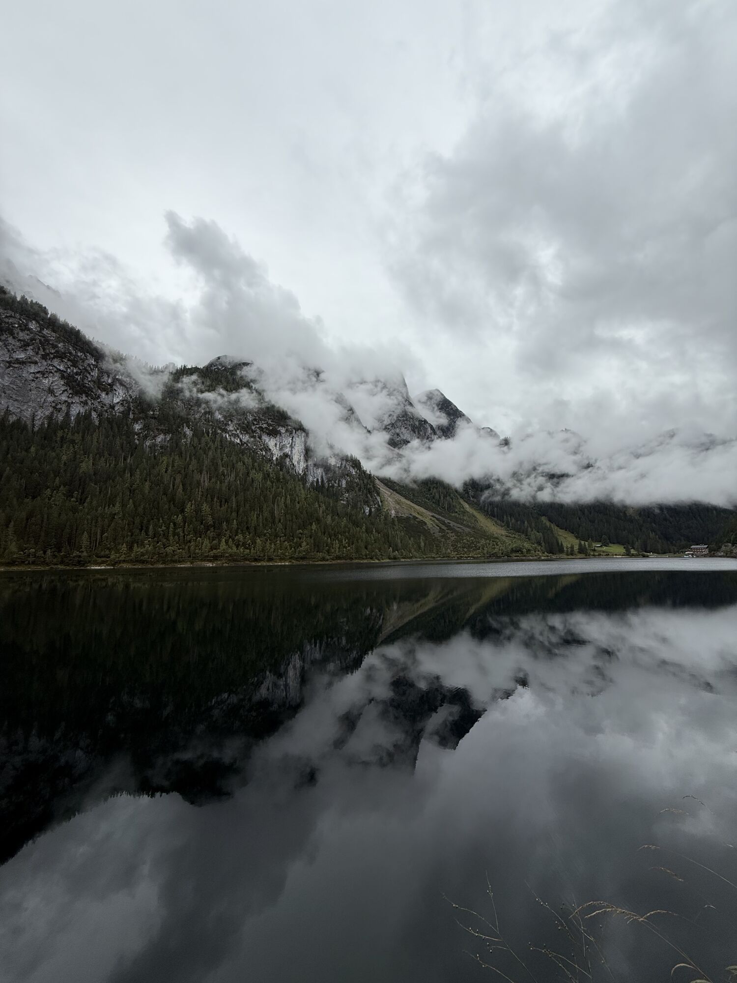
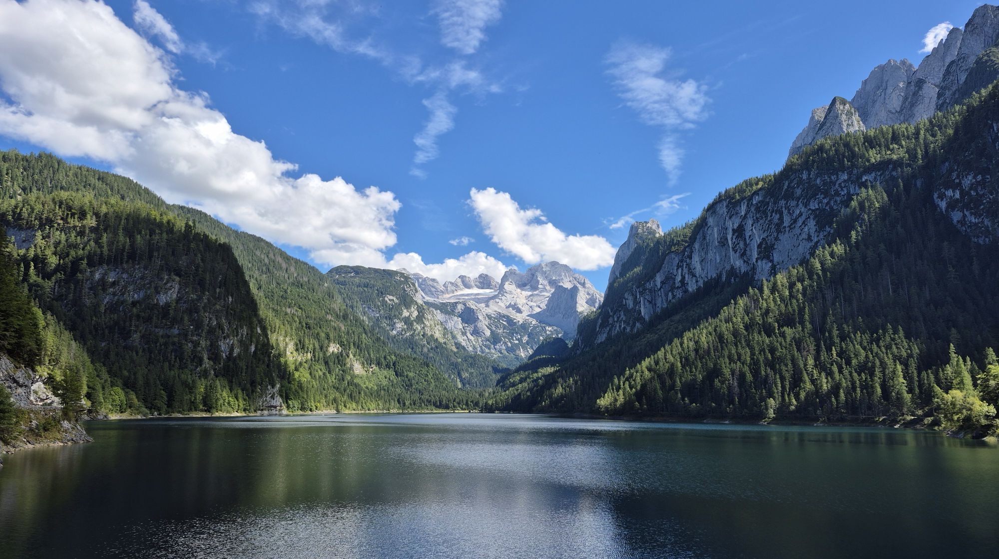
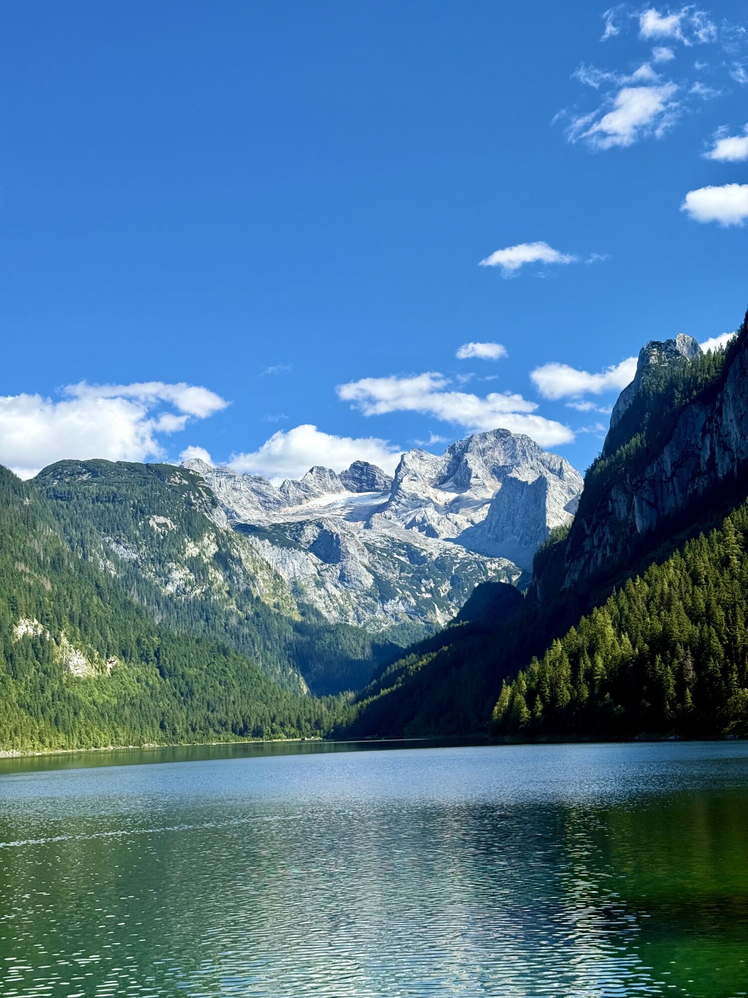
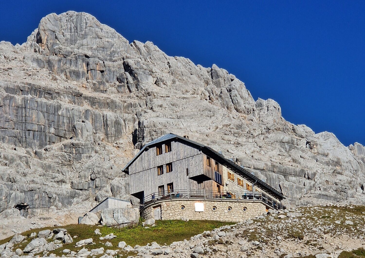
This alpine variant of the Salzkammergut BergeSeen Trail leads from the Gosau lakes into the high alpine rock wilderness around the Adamekhütte. This shelter was opened in 1905 by the Alpine...
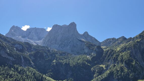
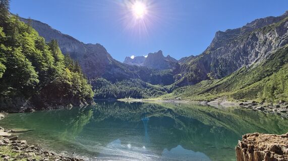
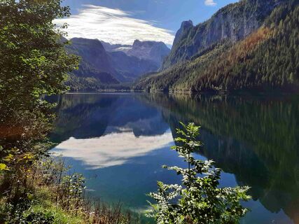
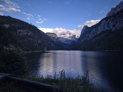
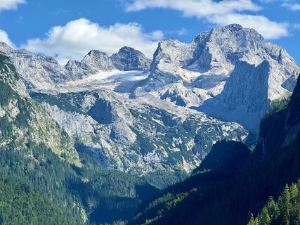
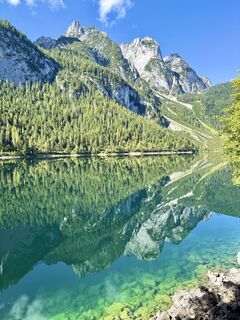
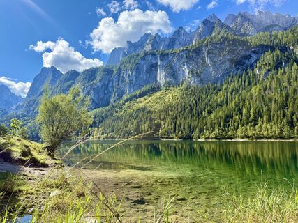
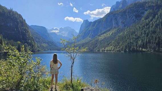
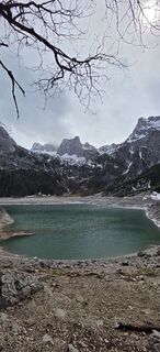
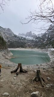
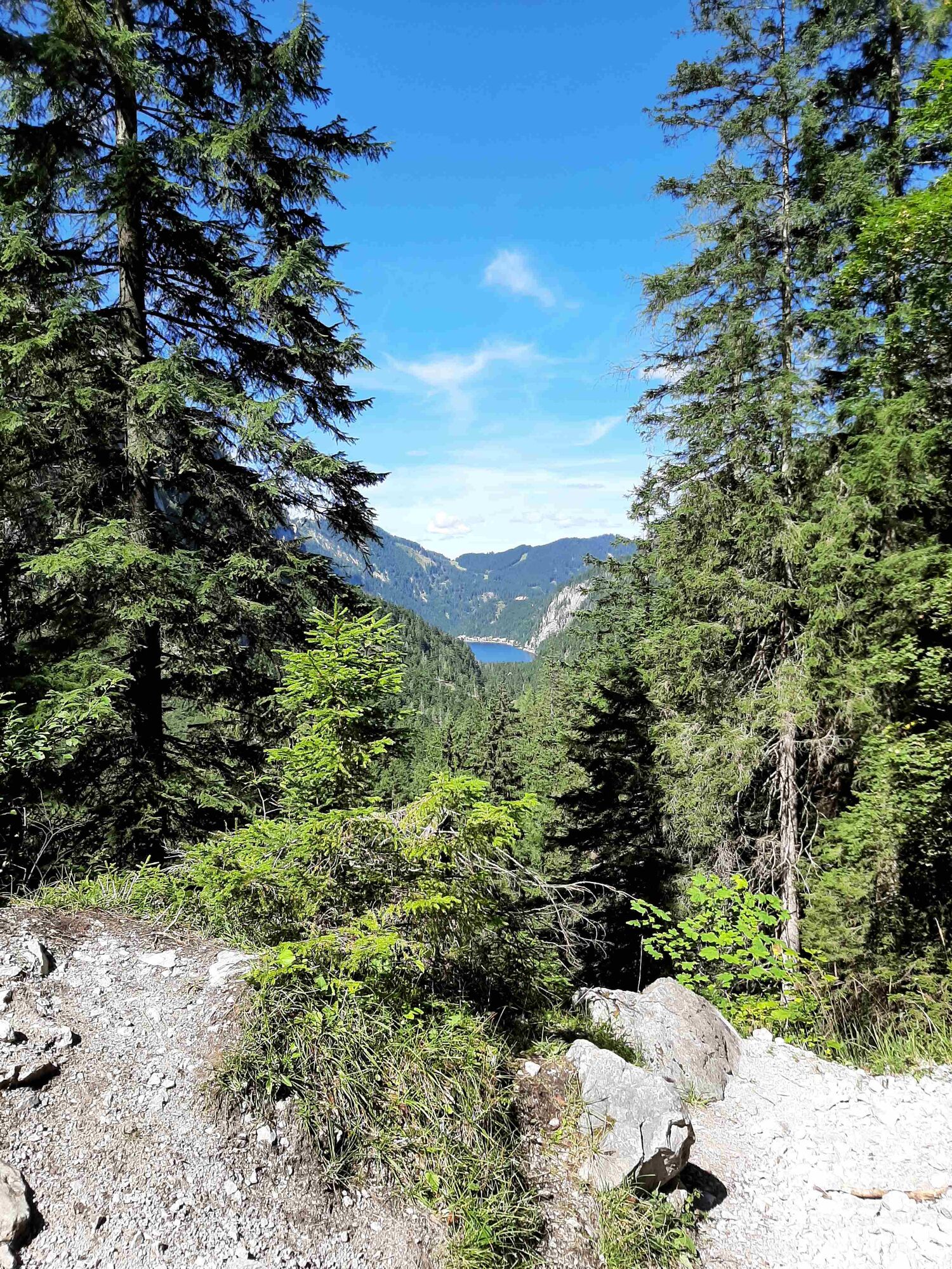
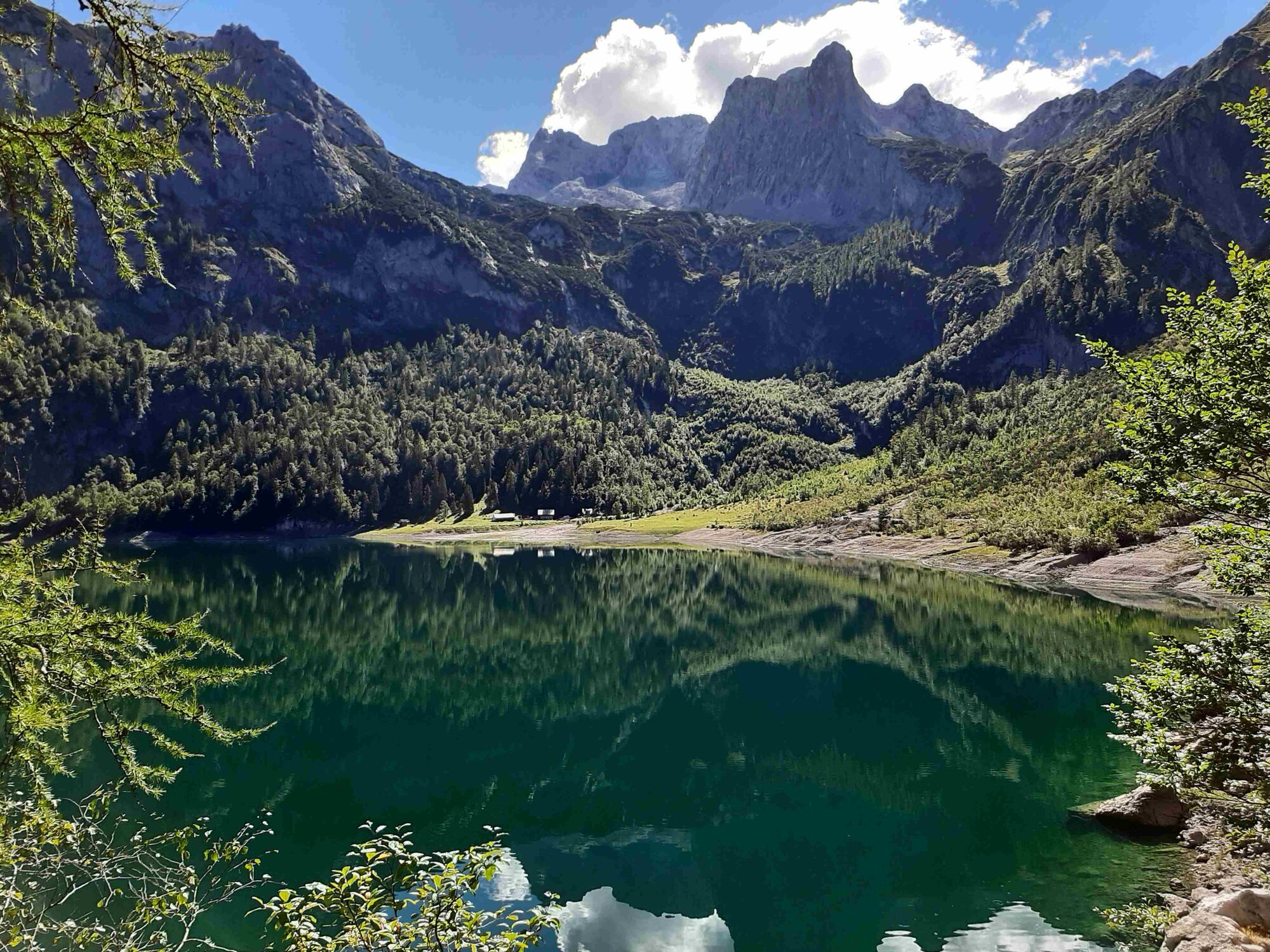
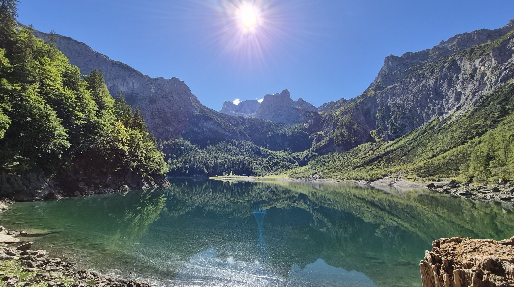
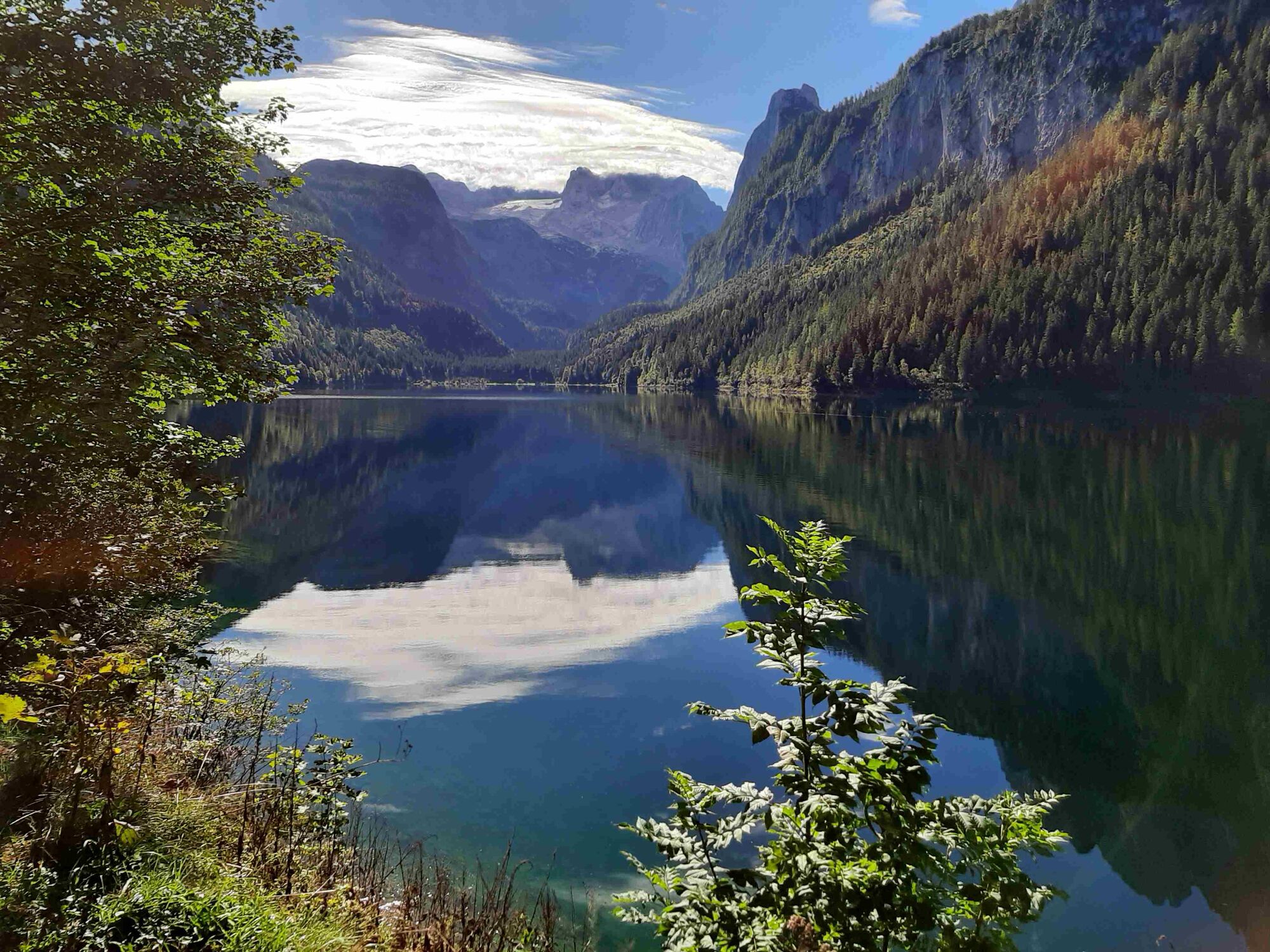
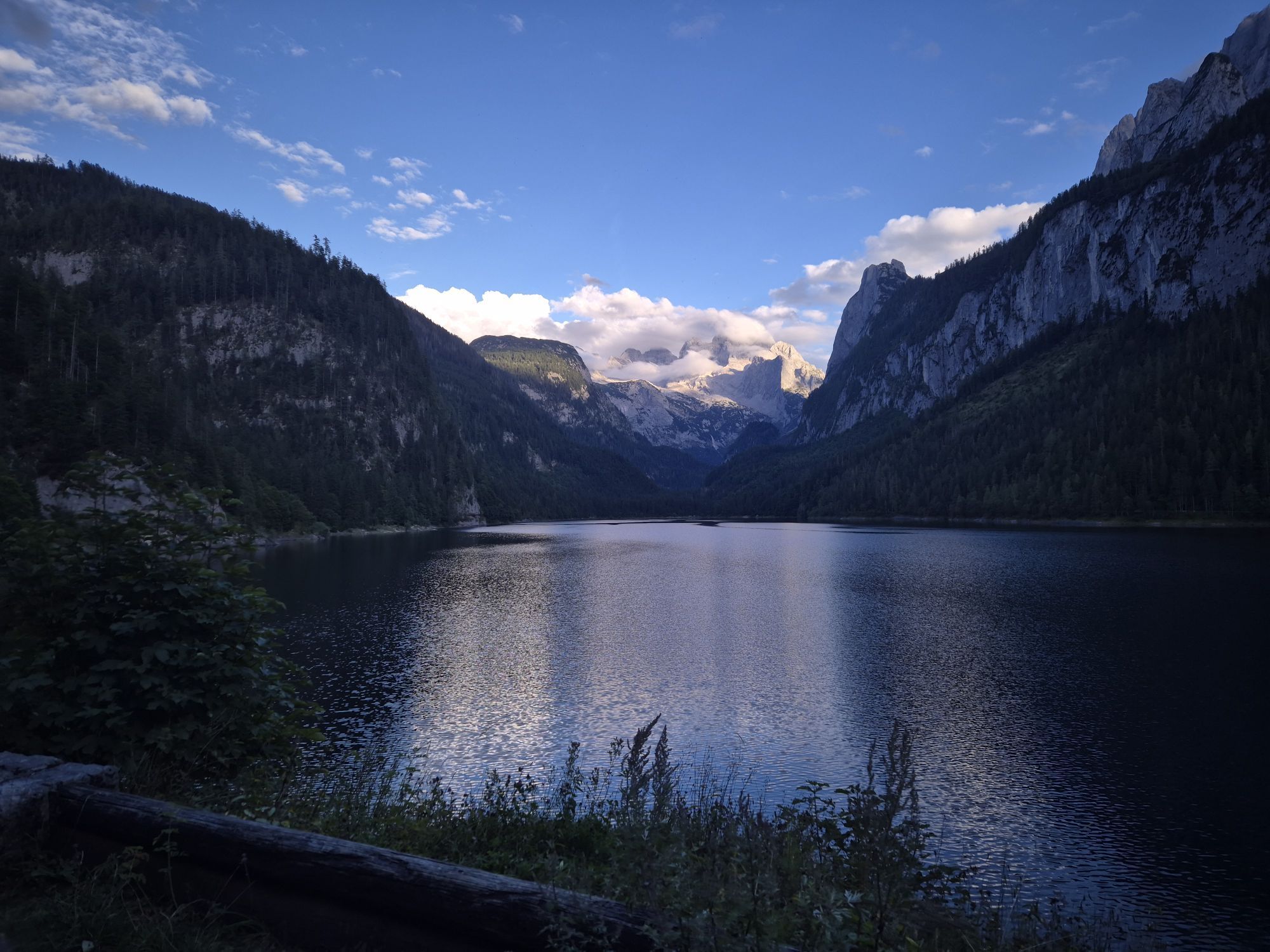
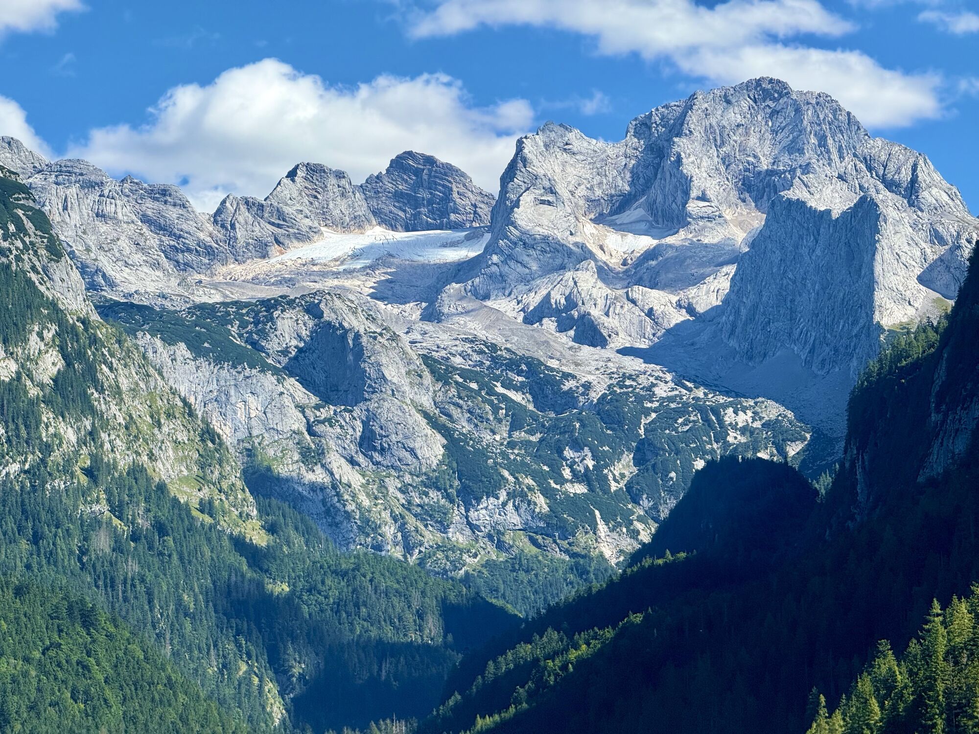
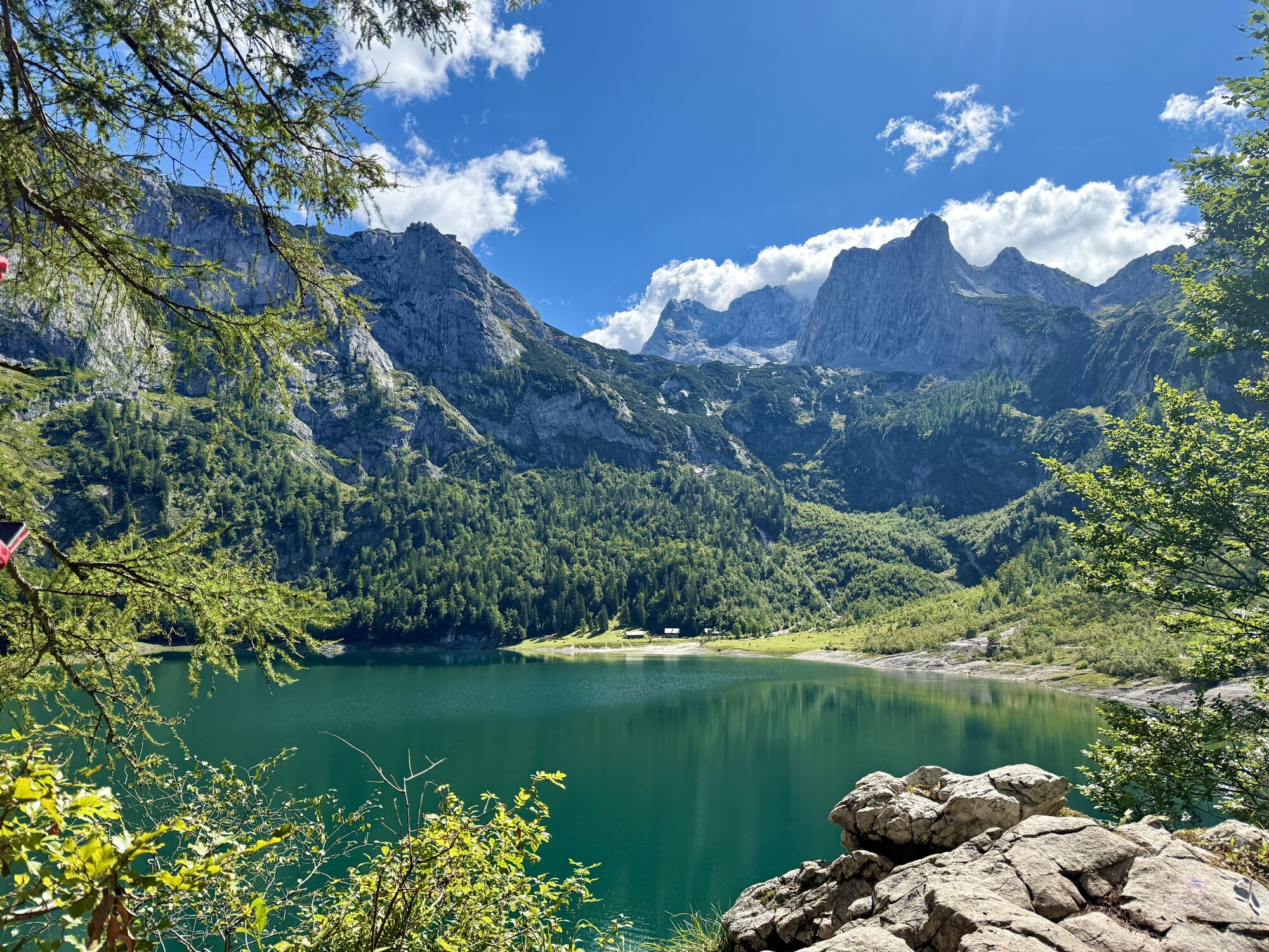
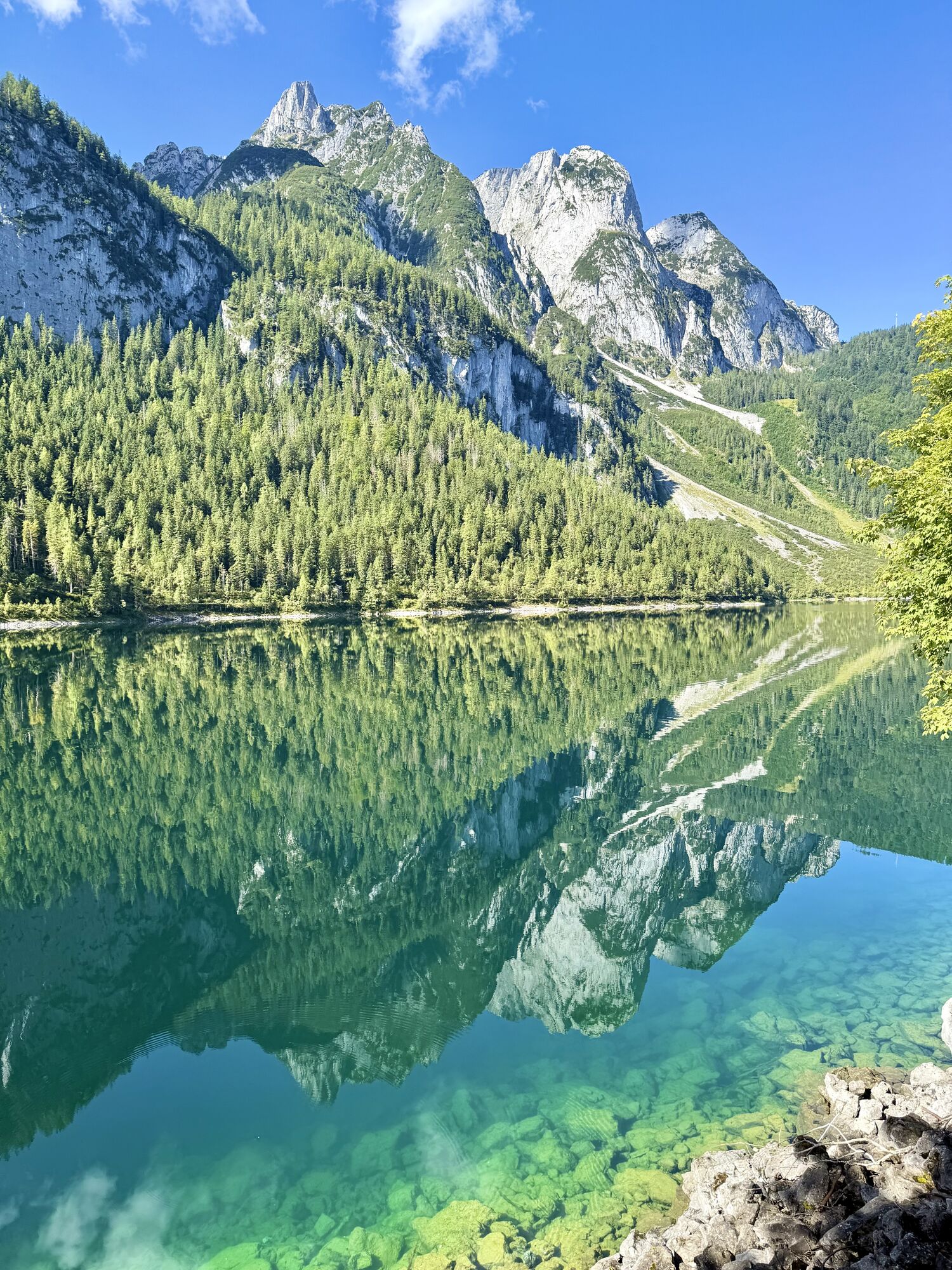
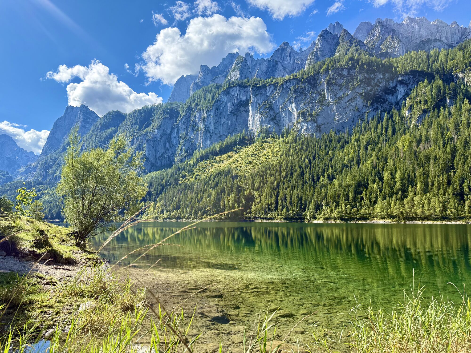
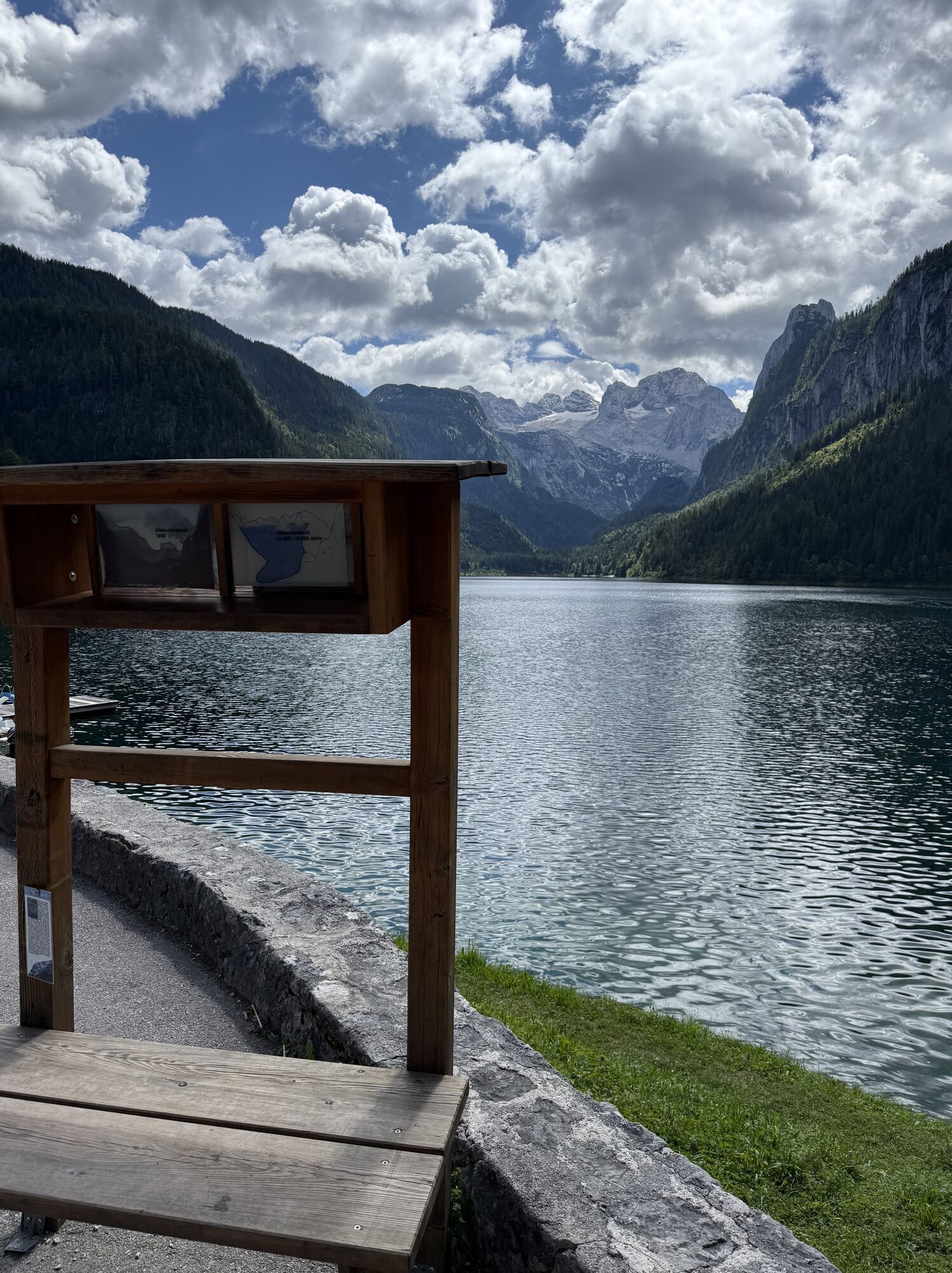
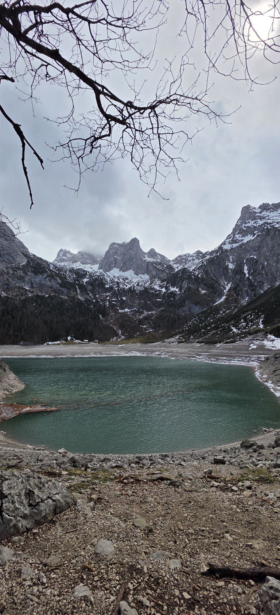
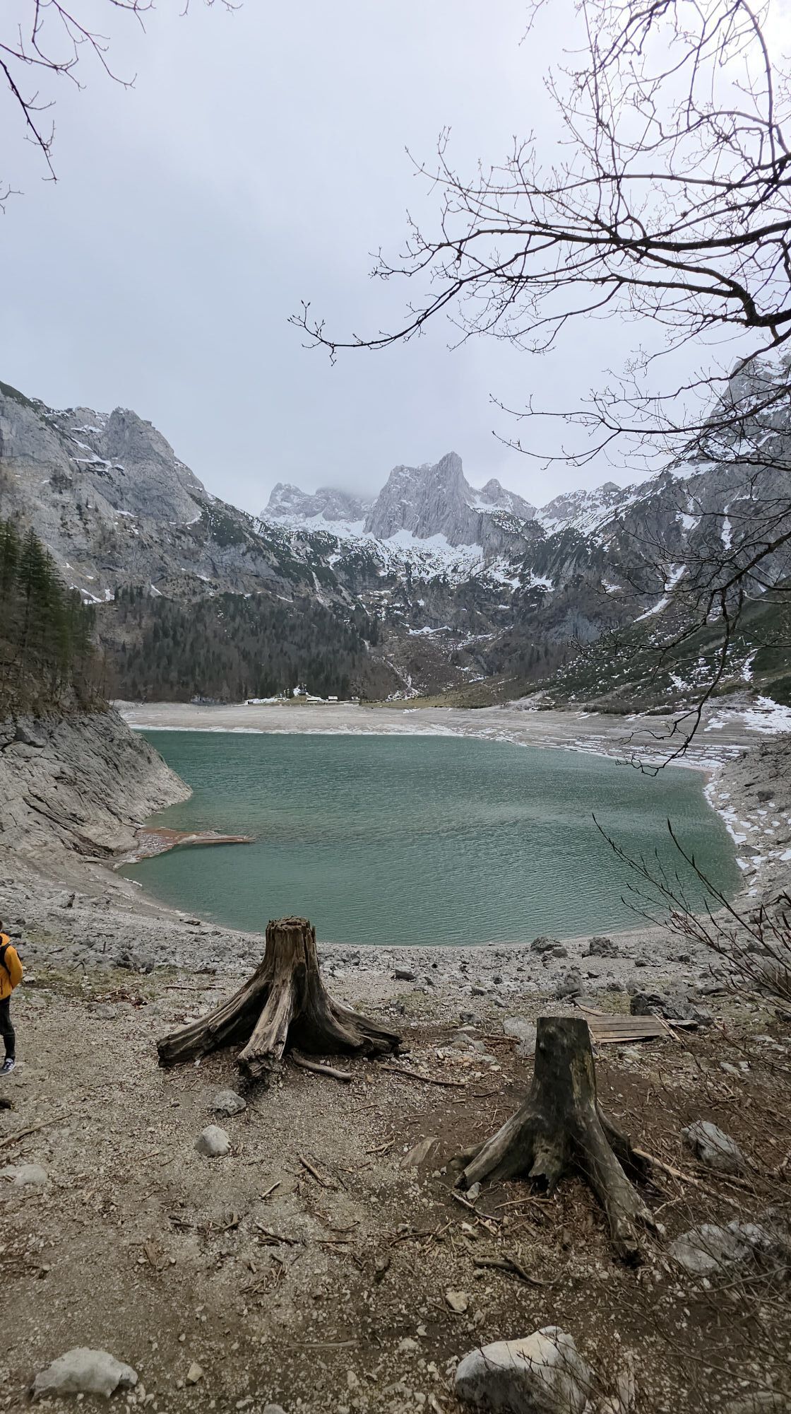
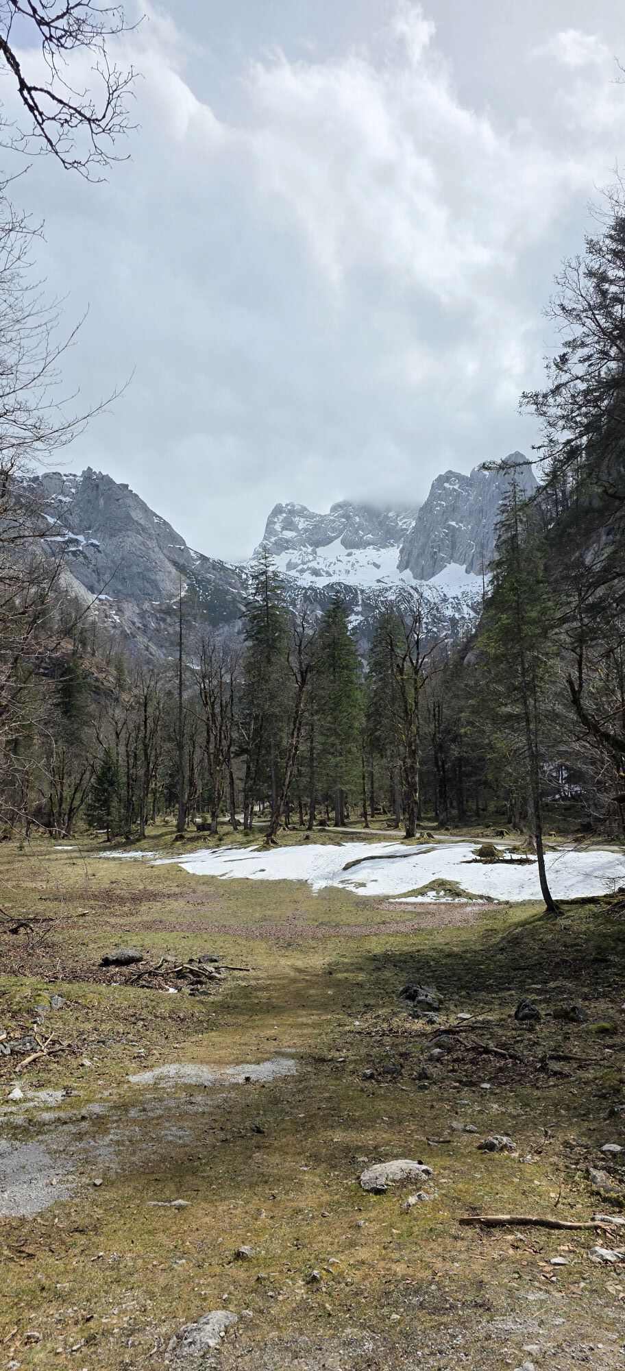
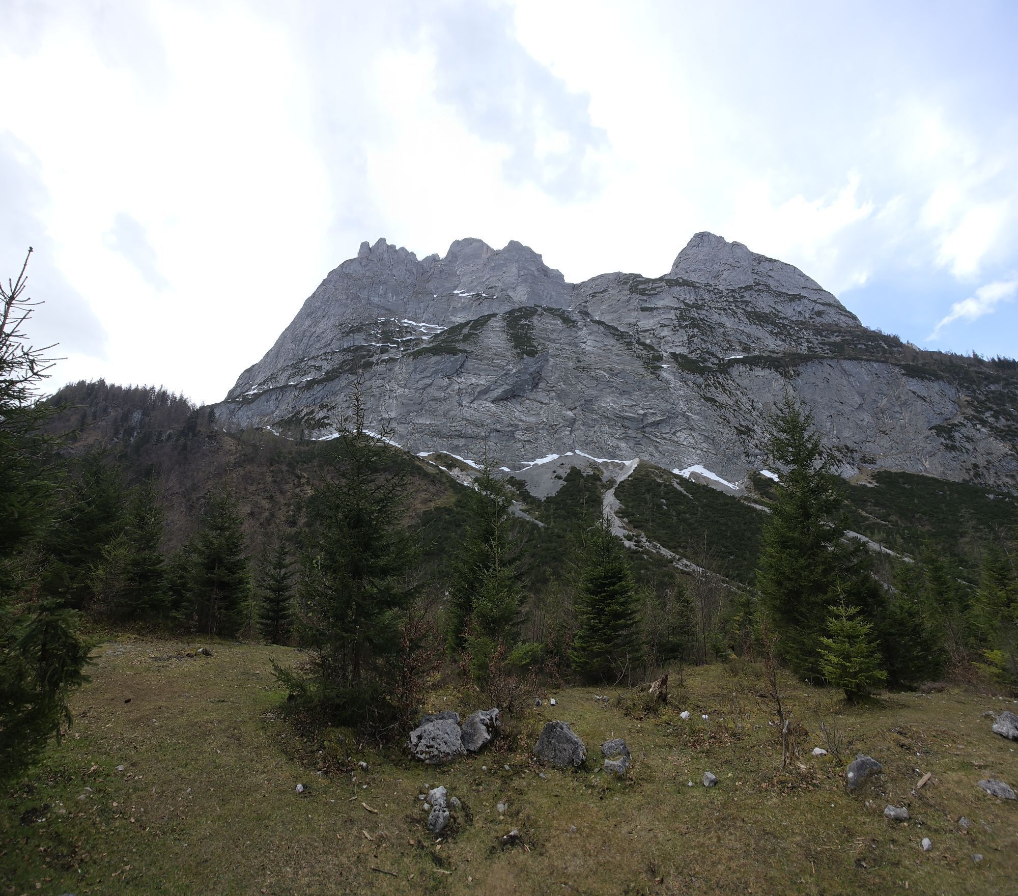
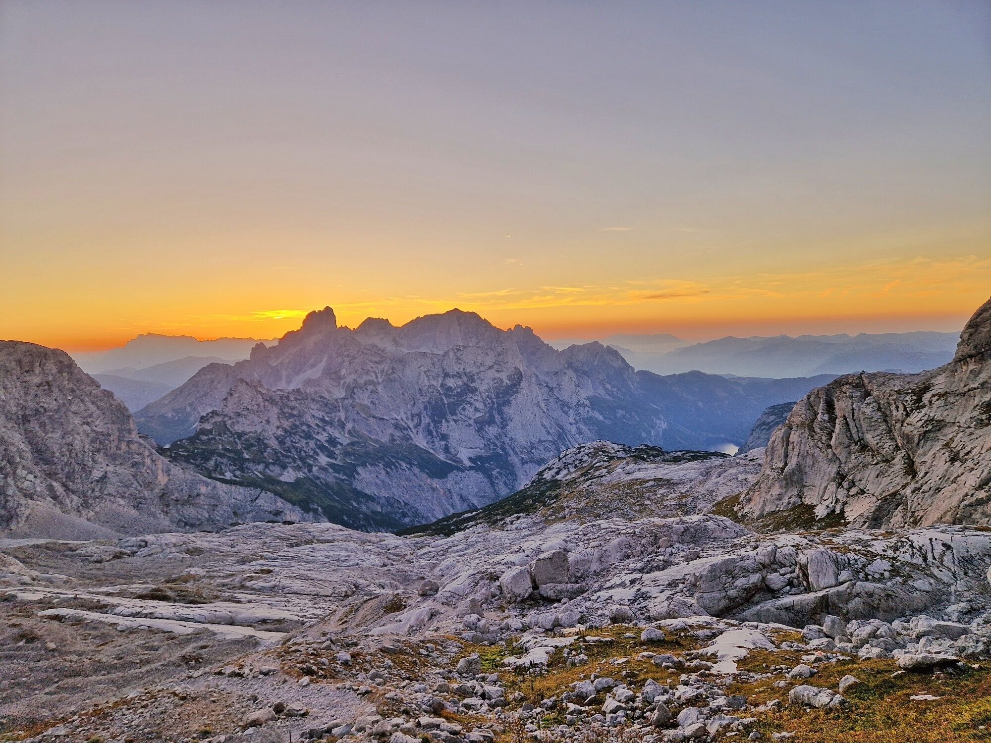
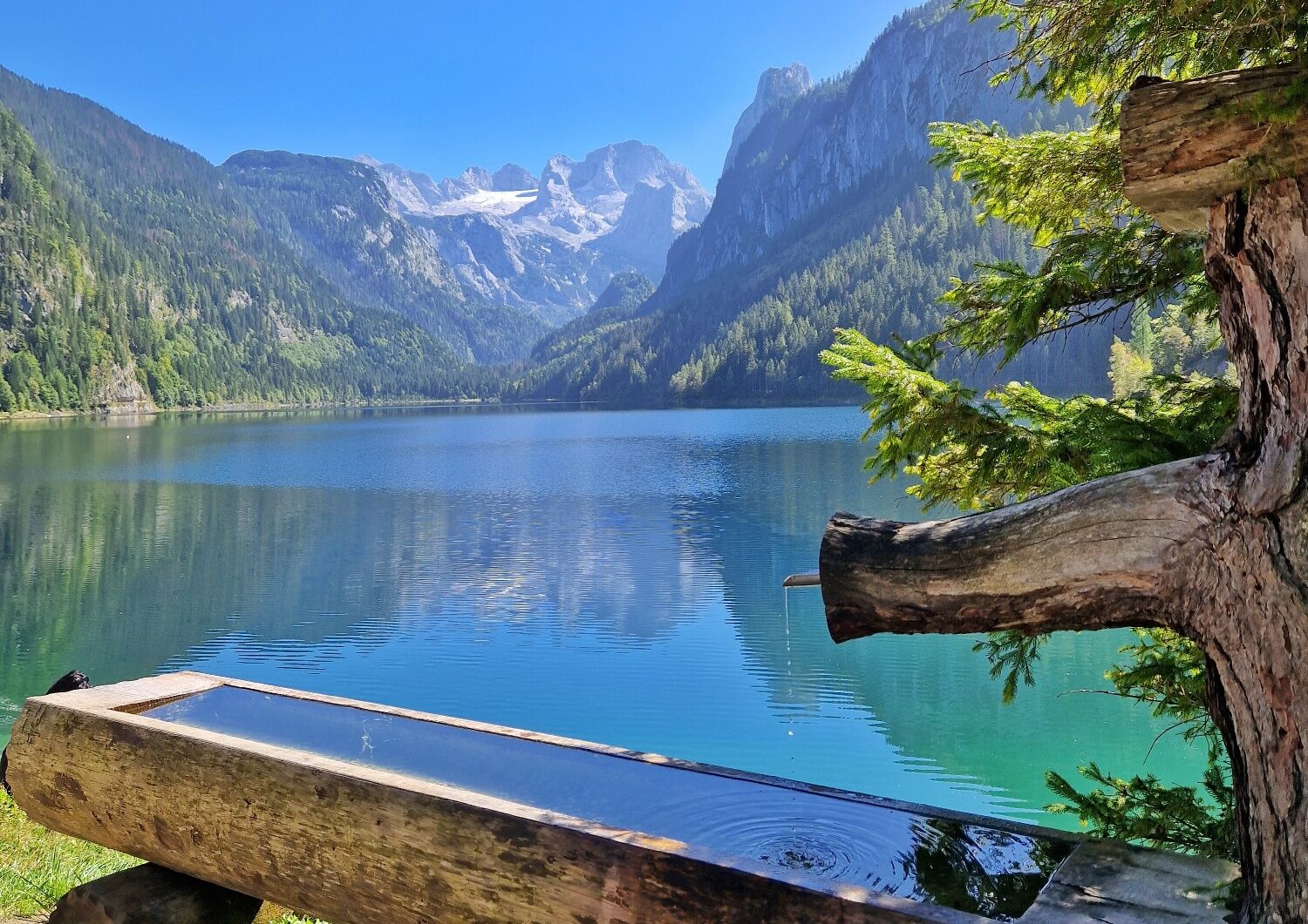
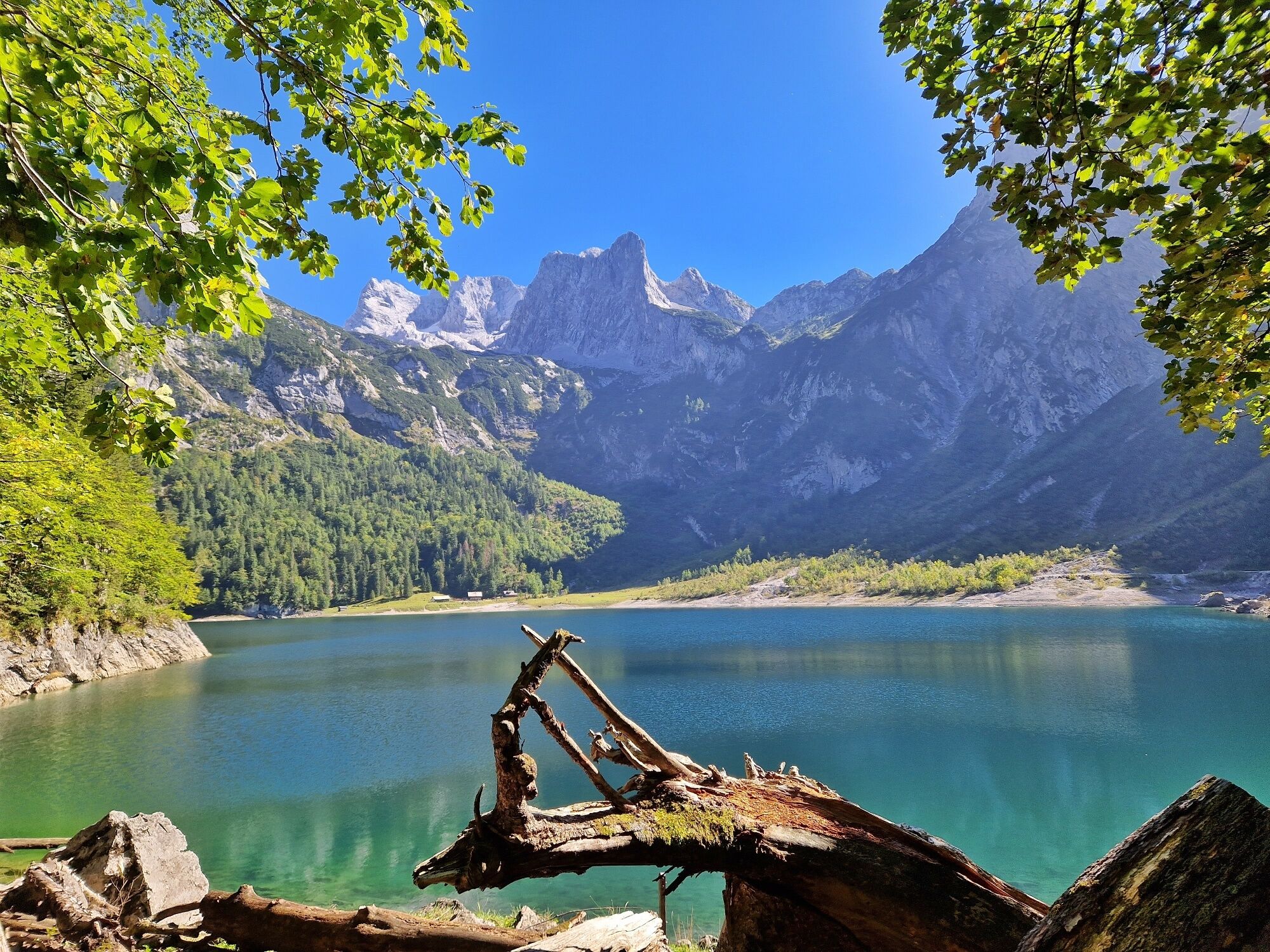
This alpine variant of the Salzkammergut BergeSeen Trail leads from the Gosau lakes into the high alpine rock wilderness around the Adamekhütte. This shelter was opened in 1905 by the Alpine Club and named after one of its distinguished officials. It is located in one of the most beautiful places in the Dachstein Mountains – right behind it, the Great Gosau Glacier nestles under the Hohe Kreuz, the Niedere and Hohe Dachstein, the Mitterspitz and the Schneebergwand, a forebuilding of the mighty Torstein.
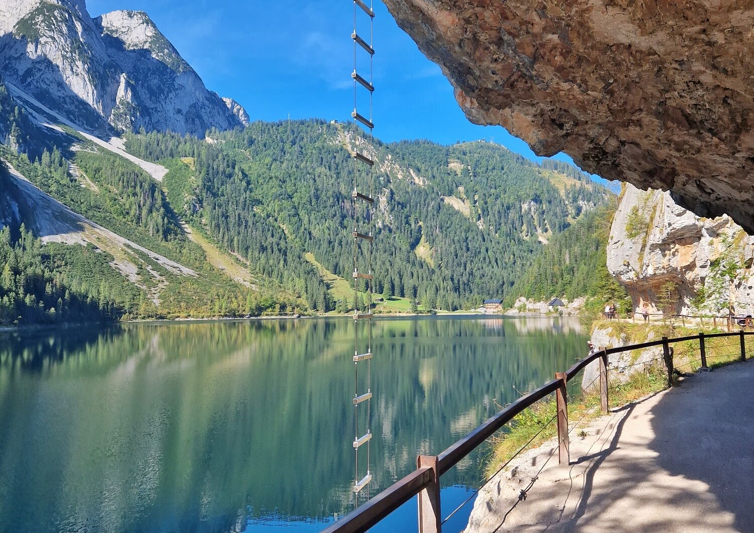
Directions:From Gosau-Hintertal you first hike on the route of the 14th stage of the Salzkammergut Trail upstream – from the Gasthof Gosauschmied next to the Gosauseestraße up to the small reservoir, then right following the sign "Panoramaweg bis Gosausee" past the "Primeval Forest" and again on the sidewalk of the road to the Vorderer Gosausee (937 m). 1:00 h
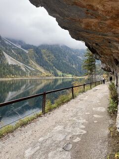
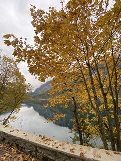
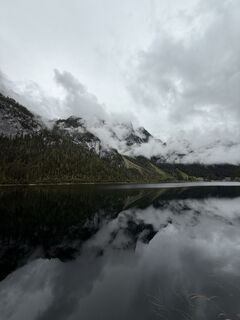
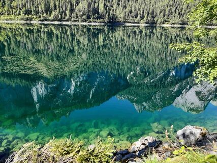
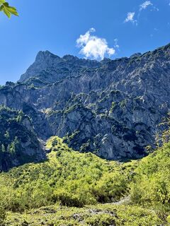
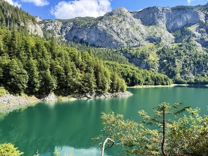
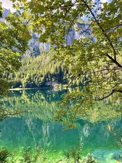
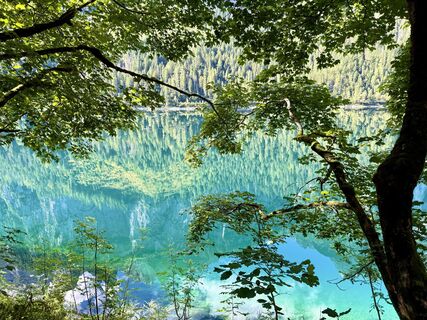
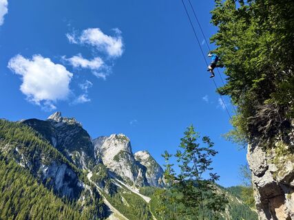
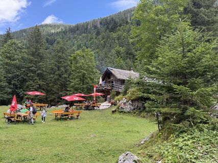
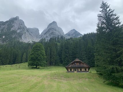
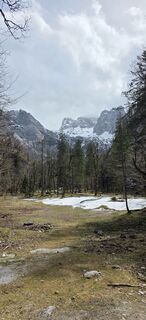
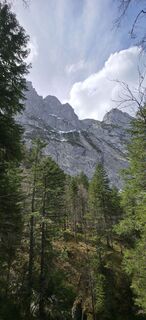
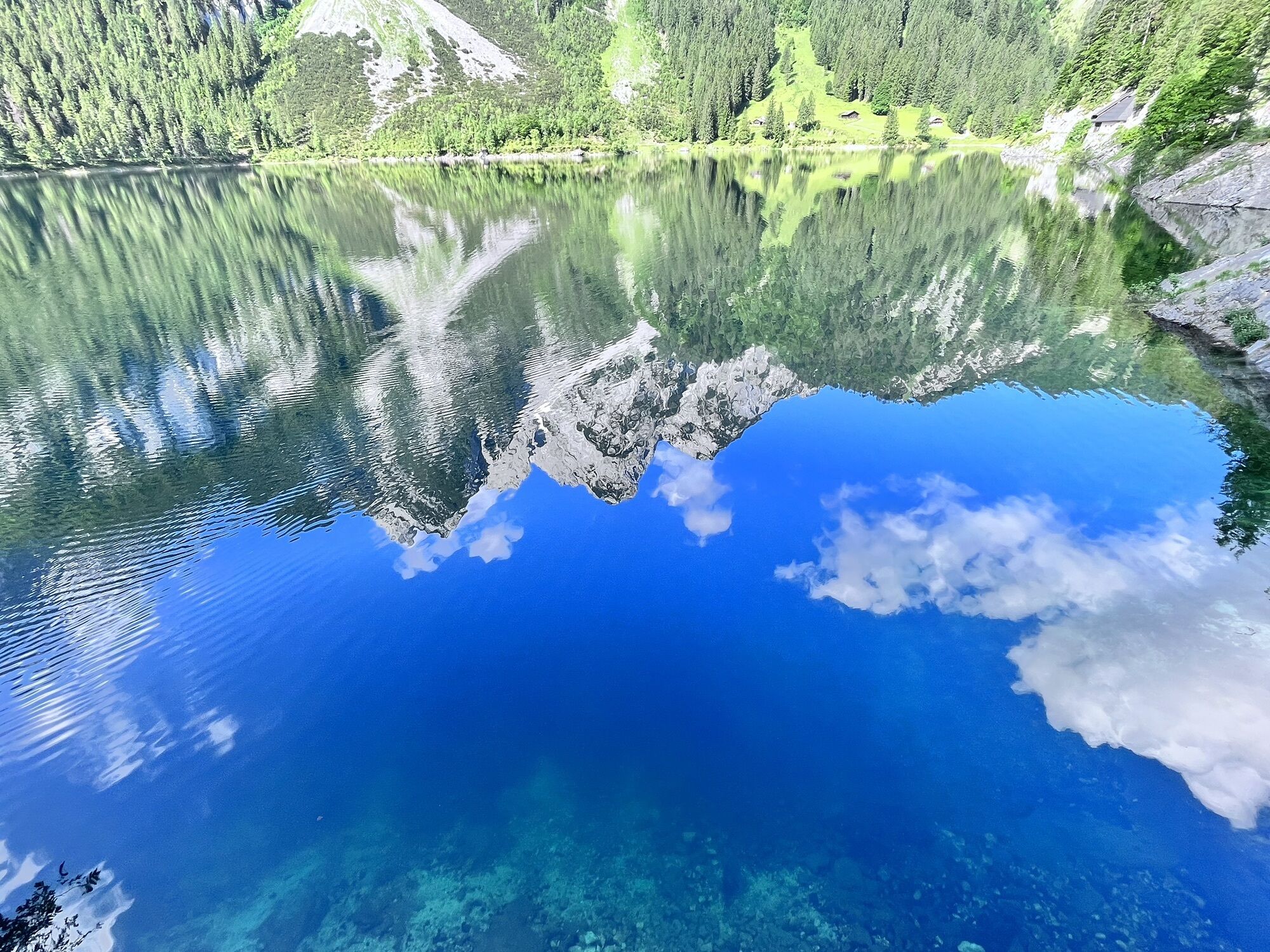
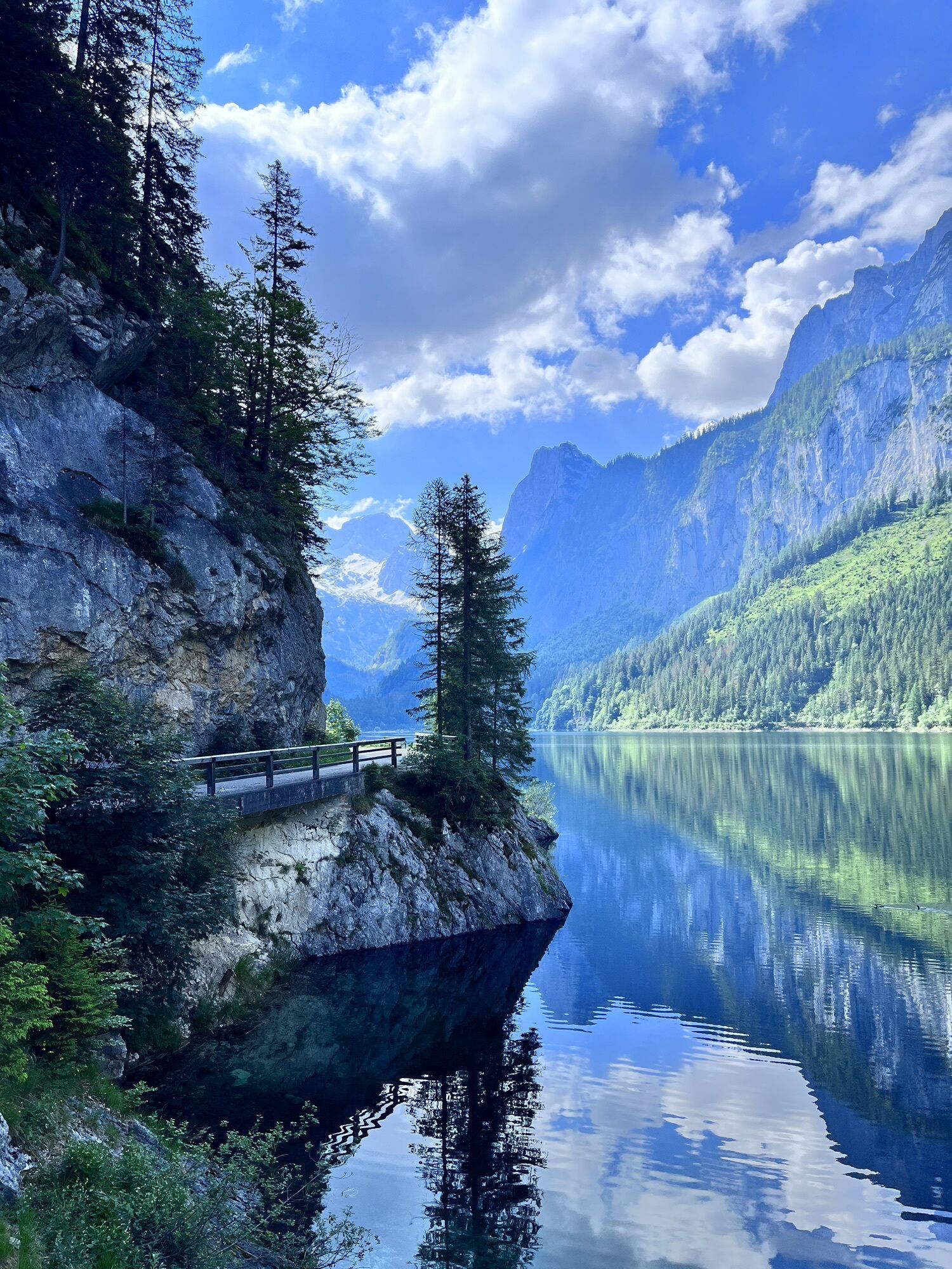
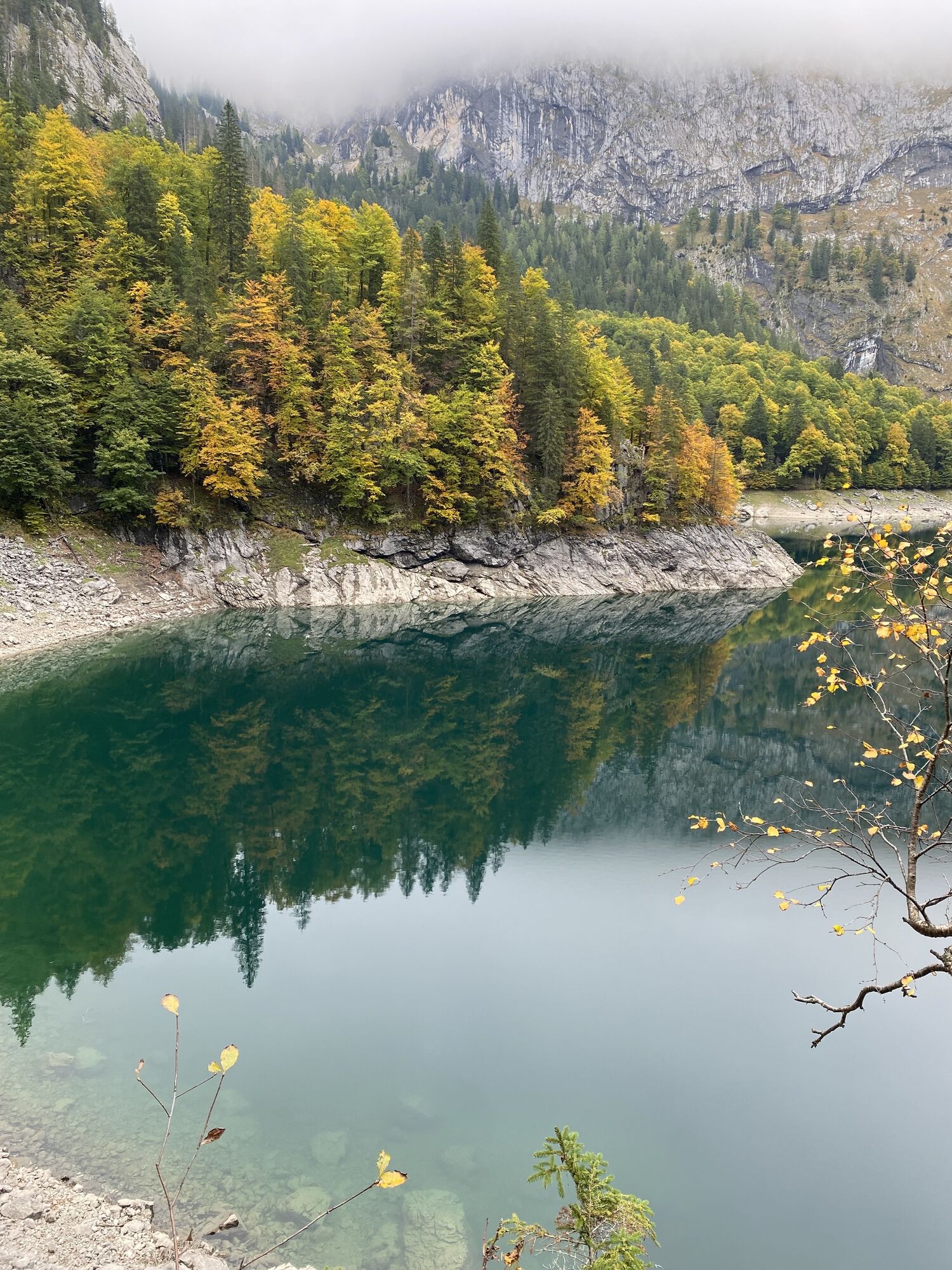
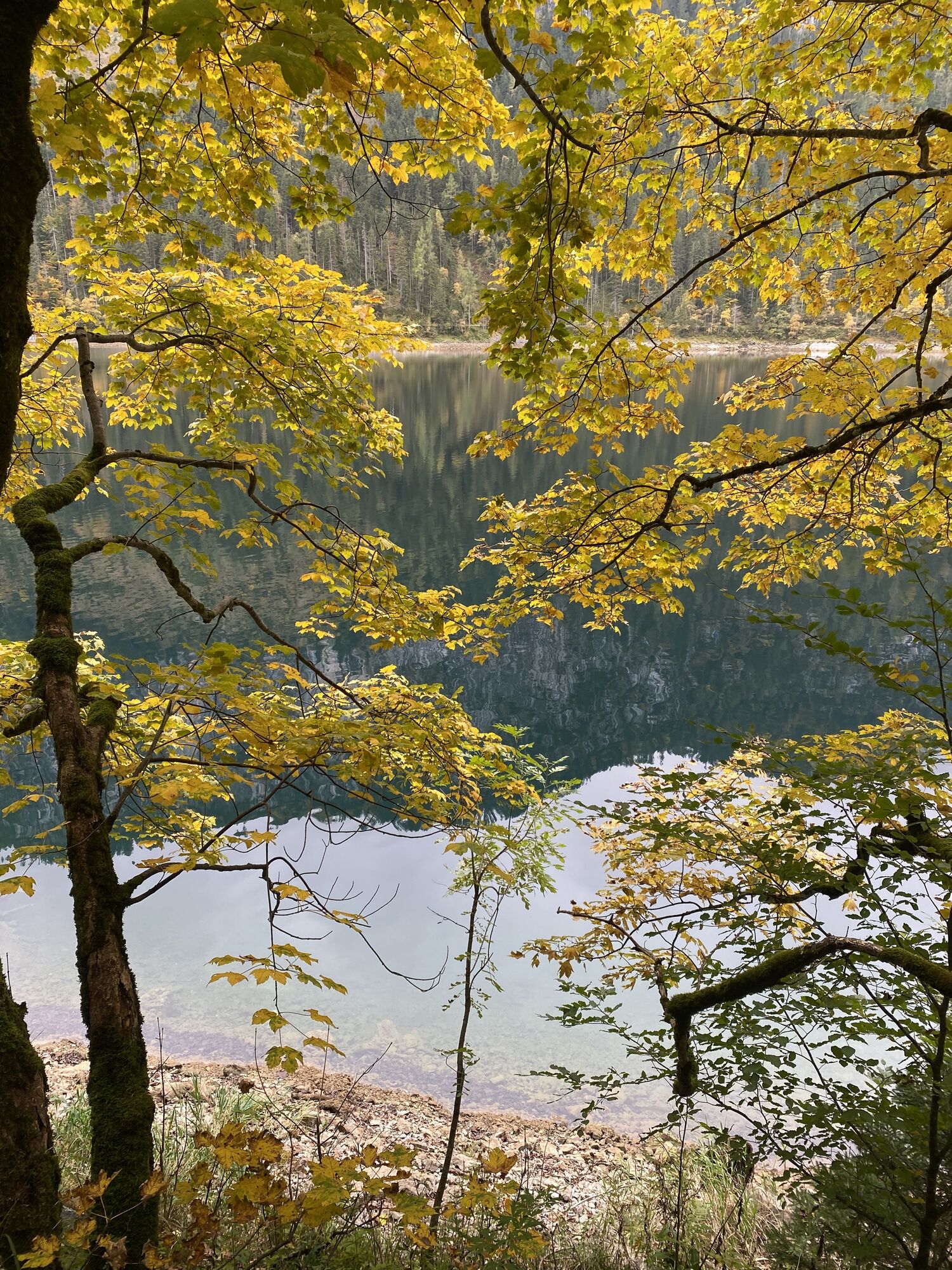
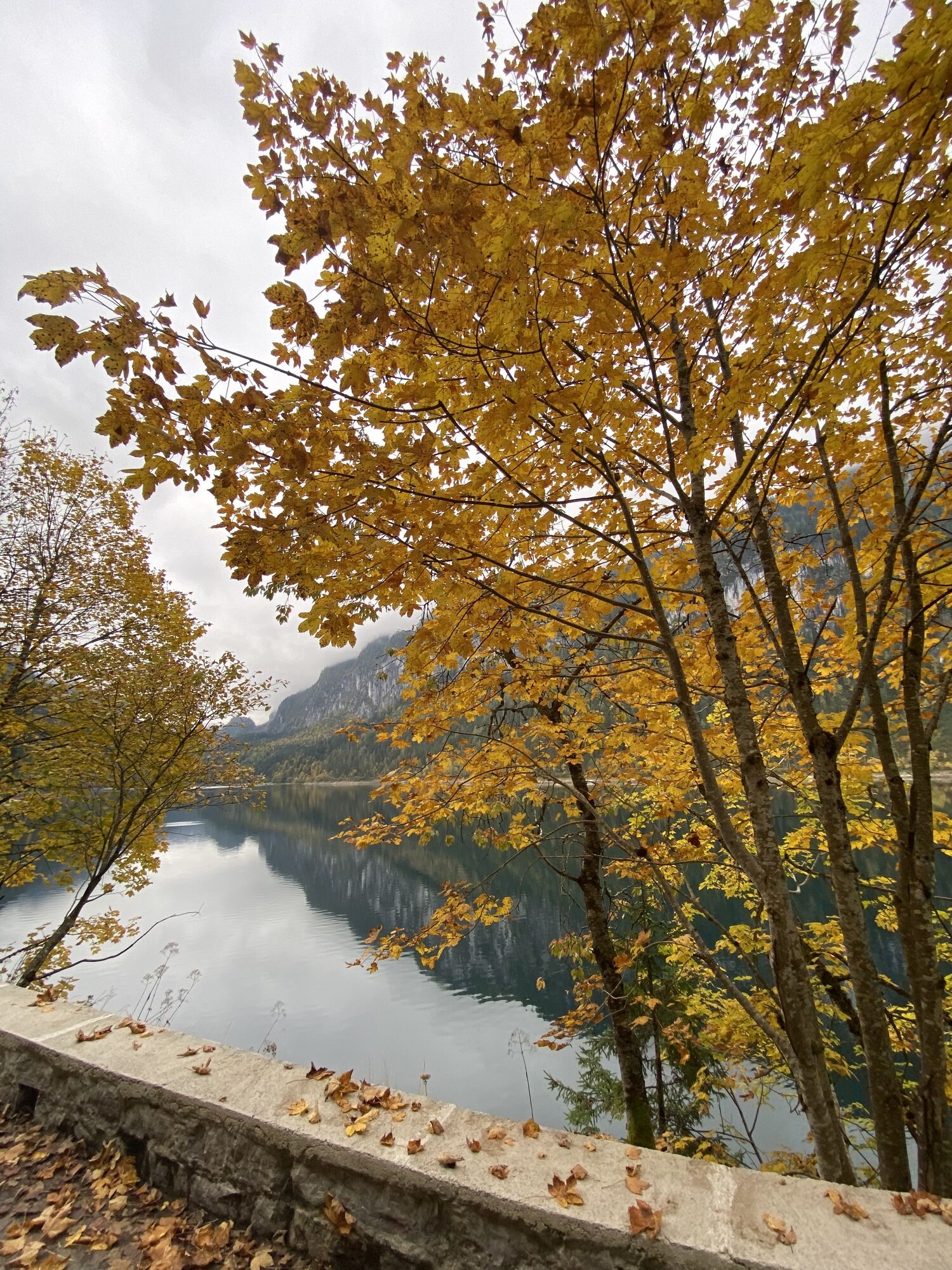
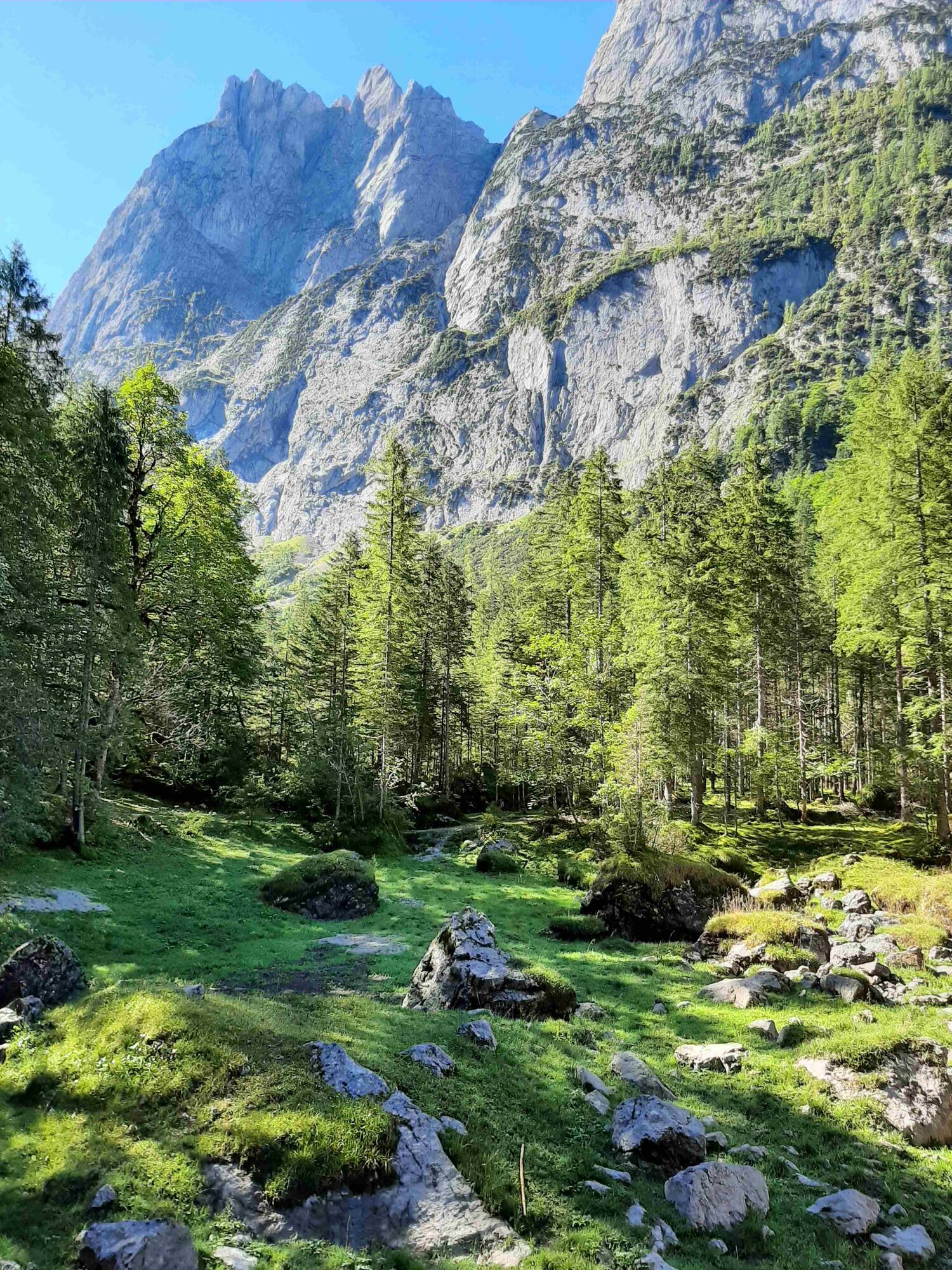
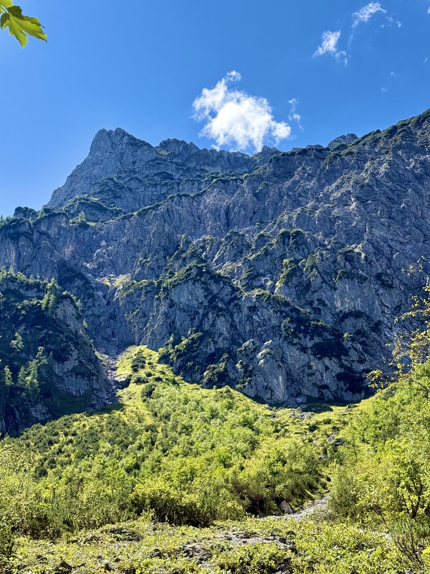
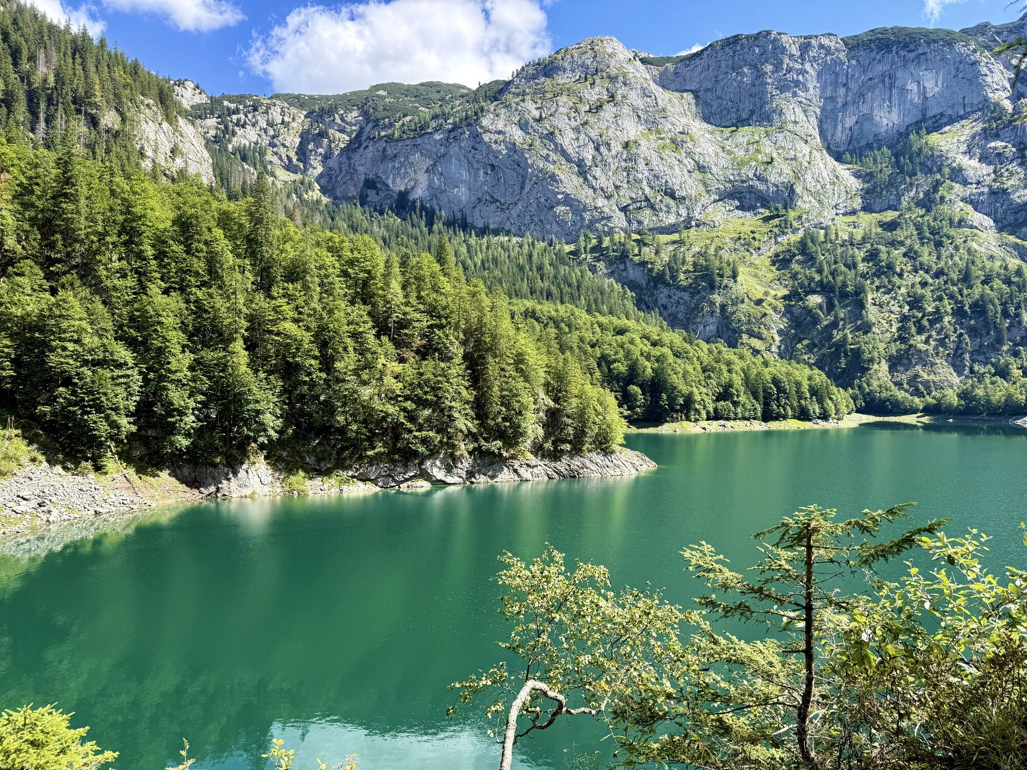
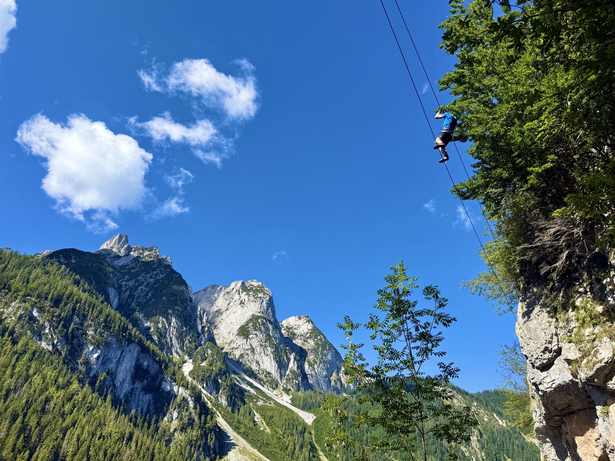
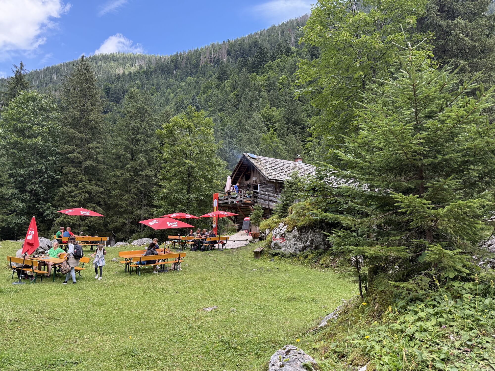
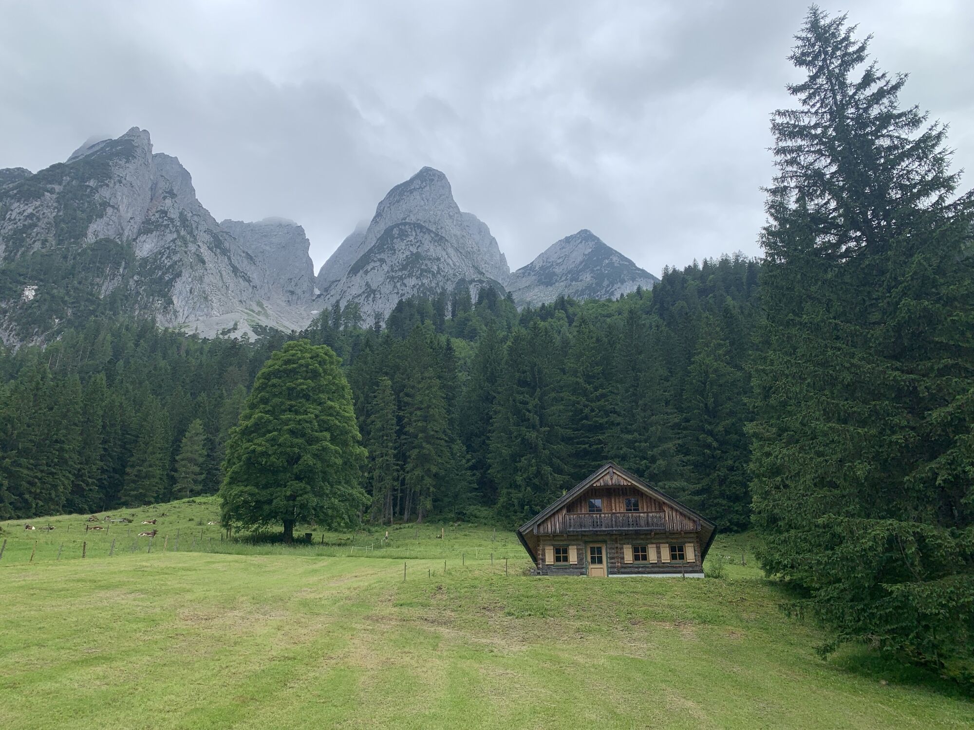
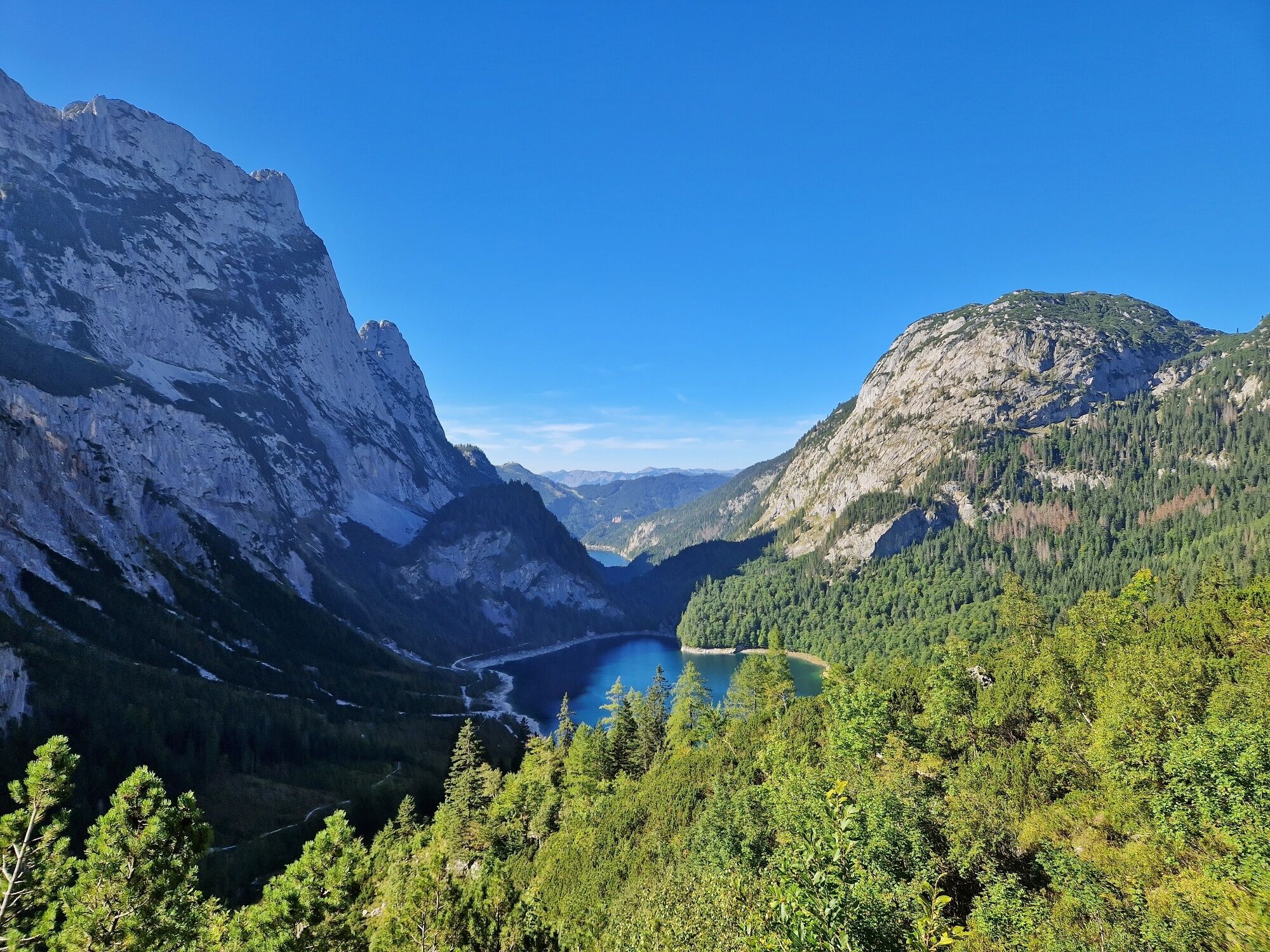
From the Gasthof Gosausee, take the broad path to the left along the dark water of the Vorderer Gosausee. At the fork of the forest road to Ebenalm, stay on the flat shore path, which runs through the rock walls above the water (above and below runs the via ferrata "Laserer alpin"). From the junction of the south shore path, continue on the forest road upstream, past the Niedere Holzmeisteralm and the periodically filled Gosau pond. Below the Launigg waterfall, the route rises to Luegbichl. Through a forest ravine, you reach the Hinterer Gosausee (1,154 m). 1:45 h On its south shore, a short detour to the hospitable Hohe Holzmeisteralm leads left. The trail no. 614 in the direction of "Adamekhütte" leads to the right into the wildly torn ravine of the Kreidebach and then from there in zigzags through lightly wooded slopes up to the Niedere Bärenstaffel. Next to a ravine to a steep step which the path overcomes in many switchbacks. Past the ruin of the roughly built stone hut built in 1879 – the first mountaineer's accommodation in this area – you reach the Hoher Riedel (2,035 m) below the Schreiberwandeck, where the path splits. You go straight ahead – still marked no. 614 – through the rocky karst terrain towards the mighty Schreiberwand and then right in bends up to the Adamekhütte (2,196 m). The view from this Alpine Club hut of the Dachstein and the Gosaukamm is magnificent. 3:15 h Continue on the alpine variant to the Simonyhütte or descend on the same route (5:00 h).
Tip:Note: Bus connection (line 542) from Gosau-Hintertal to Vorderer Gosausee.
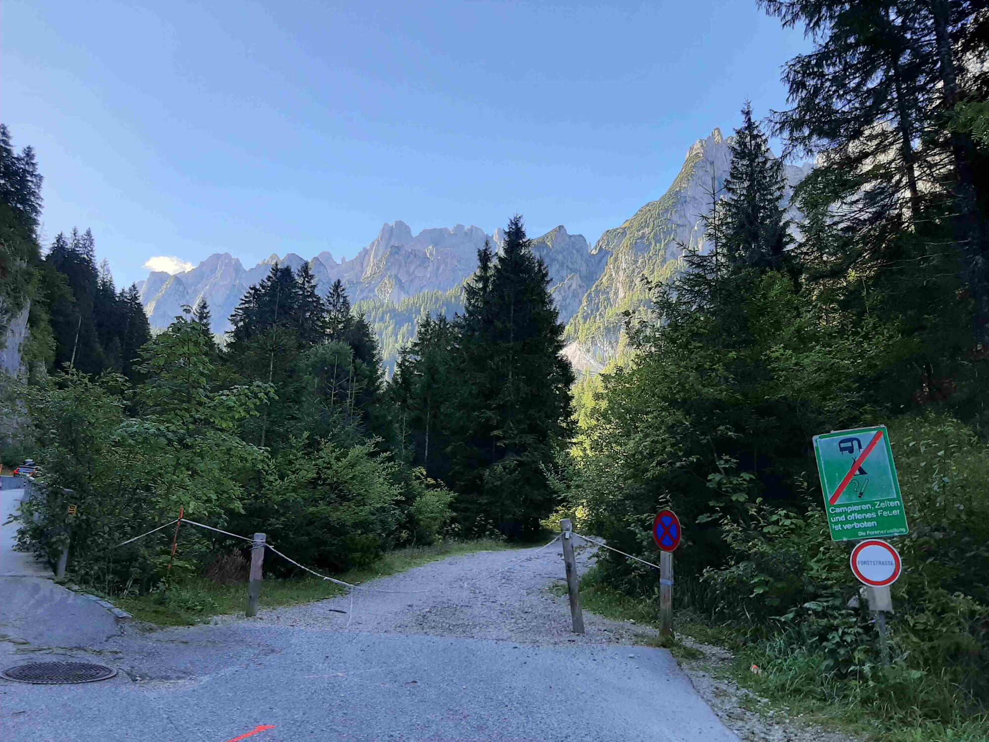
Safety guidelines:In alpine terrain, be aware of the danger of falling rocks.
Until early summer, you may encounter steep snowfields or firn gutters there – especially when icy, there is acute danger of falling and thus life-threatening!
Due to storm damage, forestry work or construction measures, some trail sections may be temporarily difficult or impossible to pass.
Cows on the alpine pasture are often curious. Due to mother cow husbandry, they develop a strong drive to protect their calves. So move calmly on cow pastures, keep at least 20 m distance from the animals and do not pet calves! In case of threatening behavior (scratching, stamping) slowly walk backwards (do not turn your back). Dogs must be on a leash, they must not bark at or chase cows. In case of an attack, you must definitely let them off the leash.
Equipment:
For all stages you need hiking or mountain boots with profile rubber soles as well as wind- and rainproof clothing.
Spare clothes for changing and a small first aid kit should also be in the rucksack. How much provision you pack depends on the number of refreshment options. In any case, you should take enough to drink with you. Telescopic poles are especially helpful when going downhill.
Additional information:Text kindly provided by the KOMPASS publishing house and Wolfgang Heitzmann.
More info at trail.salzkammergut.at


Suosittuja retkiä naapurustossa
-
4,8
Heilbronner circular trail
valoVaellus 7,78 km -
4,7
Tour around the Gosaukamm
mediumVaellus 20,9 km -
4,3
Filzmoos: Rötelstein (Rettenstein)
Vaellus 9,50 km -
4,4
Bad Goisern: Pötschenhöhe – Sarstein - Obertraun
Vaellus 11,4 km -
4,6
Donnerkogel vom Gosausee mit Intersport Klettersteig C/D und Himmelsleiter
raskasVia ferrata 7,70 km -
4,7
Vorderer u. hinterer Gosausee
mediumVaellus 15,0 km -
4,9
„Hoher Sarstein 1975m“ - Hallstätter Genusstour - Hallstatt - Obertraun - Bad Ischl
raskasVaellus 23,2 km -
4,2
Jungfrauensteig Rundtour
mediumVaellus 7,63 km -
4,7
GOSAU | Gosauseen
valoVaellus 14,6 km -
3,8
Der Hohe Sarstein
raskasVaellus 12,0 km

Vaellus & jäljitys


Älä jää paitsi tarjouksista ja inspiraatiosta seuraavaa lomaasi varten.
Sähköpostiosoitteesi on lisätty postituslistalle.