


TOUR DES LONDRES À LA BUÈGES - GR® DE PAYS TOURS EN GRAND PIC-SAINT-LOUP


A loop between mountains and wonders. Great in warmer weather, when you can approach the banks of the Hérault and hike in the shade of the Séranne mountain.
The Tour des Londres à la Buèges is part of the...
A loop between mountains and wonders. Great in warmer weather, when you can approach the banks of the Hérault and hike in the shade of the Séranne mountain.
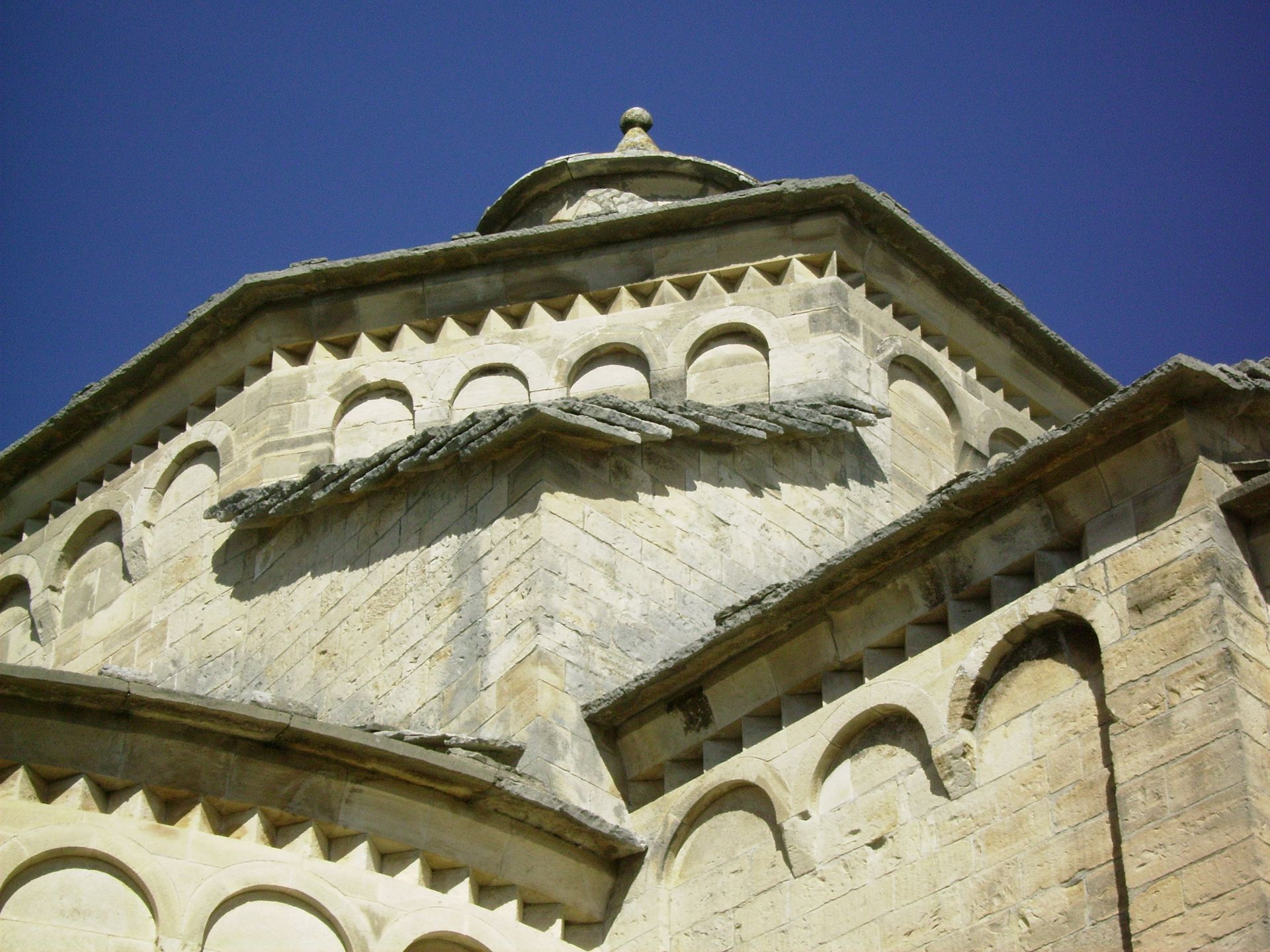
The Tour des Londres à la Buèges is part of the GR® de Pays Tours in the Grand Pic Saint-Loup, voted GR® Préféré des Français in 2021. North of Montpellier, at the foot of the Pic Saint-Loup (658 m), vineyards and garrigue, holm oaks and pasture meadows reign, dotted with villages of stone streets. The town is only a few kilometers away, but seems far away. Further north, the causses, gorges and wild crest of the Séranne (942 m) come into view. Thanks to a dense network of ancient drailles, vineyard paths and footpaths, several loops allow you to explore these landscapes of ever-renewed beauty in all seasons.

1
From the Saint-Jean-de-Buèges church, follow the Garrel river and leave the village in the direction of Pégairolles-de-Buèges. Take the left-hand path up to Causse-de-la-Selle. Pass the town hall and continue towards Encontre. Take the path leading down to Moulin-de-Bertrand. Cross the bridge over the Hérault river. Take the road leading up to the houses and on to La Conque. Follow the draille, then the track. After a cattle pen, follow a stony track down to Saint-Martin-de-Londres.
2
From Place de la Fontaine in Saint-Martin-de-Londres, turn right onto the D32 towards Mas de la Liquière. At Mas-de-Londres, pass the church and turn left again. Cross the D122 to La Borie. Continue as far as Notre-Dame-de-Londres. In the bend, at the foot of the tower, follow the road to the left. Continue and climb to the right through open, rocky countryside. The path reaches Ferrières-les-Verreries and then descends to the old Couloubrines glassworks. Climb up the Draille du Cheval Mort to a crossroads at Mas de Claparèdes. Continue towards Mas Cazal-Sequier. Cross a pass leading to the D 986. Cross over the Alzon and follow the Hérault to the Saint-Bauzille-de-Putois suspension bridge.
3
At the Saint-Bauzille-de-Putois suspension bridge, cross the Hérault, take the D108 to the left for 750 m and, before the bridge, take a path to the right. Leave the ruin and climb the Col de Ternisson. Descend towards the village, passing the town hall and church. Cross the Avèze and continue along the road rising towards Brissac-le-Haut. Drive past the old paper mill, through a wood, and continue on the D1 for 1 km towards Saint-André-de-Buèges. Drive past the church to the Vareilles bridge. Before the bridge, take the right-hand track up to Saint-Jean-de-Buèges.
4
Back in Saint-Jean-de-Buèges, a stop under the plane trees at the Bar du Château is a must! The place to be, with incomparable steak-frites (the meat comes from the Senet family's hiker cows). Take time to stroll through the narrow streets on the way up to Château de Baulx: beware, Saint-Jean-de-Buèges can be a bit 'addictive'!
Our suggested "coup de coeur" stages: - Day 1: St Jean de Buèges - St Martin de Londres ( 14km) - Day 2 : St Martin de Londres - St Bauzille de Putois (24.5 km) - Day 3: St Bauzille de Putois - St Jean de Buèges (16.5km)
Access to St Jean de Buèges by public transport is complex (the commune is only served on Fridays, from Ganges): it is possible to start the hike from Saint-Bauzille-de-Putois or Saint-Martin de Londres. The disadvantage is that you have to start or finish with the longest stage.
The route between Mas-de-Londres and Ferrières-les-Verreries is not recommended in very hot weather: there is no shade.
GR® and GR® de Pays are registered trademarks of the FFRandonnée, designating routes identified as "GR®", marked with white-red markings; and as "GR® de Pays", marked with yellow-red markings. These routes are the creations of FFRandonnée. Their unauthorized reproduction, as well as the GR® and GR® de Pays trademarks, constitutes an infringement liable to prosecution. Find all GR® routes on mongr.fr
Yellow and red GR country
https://www.grandpicsaintloup-tourisme.fr/
Office de Tourisme du Grand Pic Saint-Loup
GRP - FFR
Suosittuja retkiä naapurustossa
-
5,0
DRAILLES HIKE
valoVaellus 7,16 km -
RANDONNEE DE PEYRE MARTINE
mediumVaellus 15,4 km -
RANDONNEE DE LA SERANNE PONTEL
mediumVaellus 17,5 km -
RANDONNEE DE LA SERRE DE GRENOUILLET
mediumVaellus 7,70 km -
ROUTE MÉDIÉVALE ENTRE SÉRANNE ET MONTS DE SAINT-GUILHEM
Moottoripyörä 43,7 km -
ROUTE MÉDIÉVALE AUTOUR DU PIC SAINT-LOUP
Moottoripyörä 25,1 km -
4,0
BOUCLE CYCLO N°4 - LES GORGES DE L’HÉRAULT ET LE COL DES LAVAGNES
mediumPyöräily 53,3 km -
TOUR DES VILLAGES DU PIC HIKE - GR® DE PAYS TOURS EN GRAND PIC SAINT-LOUP
mediumVaellus 47,5 km -
HIKING BETWEEN SERANNE AND GORGES DE L'HÉRAULT - GR® DE PAYS TOURS EN GRAND PIC SAINT-LOUP
mediumVaellus 67,9 km -
CYCLO LOOP N°5 - LE TOUR DU PIC SAINT-LOUP
valoPyöräily 42,1 km
Vaellus & jäljitys


Älä jää paitsi tarjouksista ja inspiraatiosta seuraavaa lomaasi varten.
Sähköpostiosoitteesi on lisätty postituslistalle.