


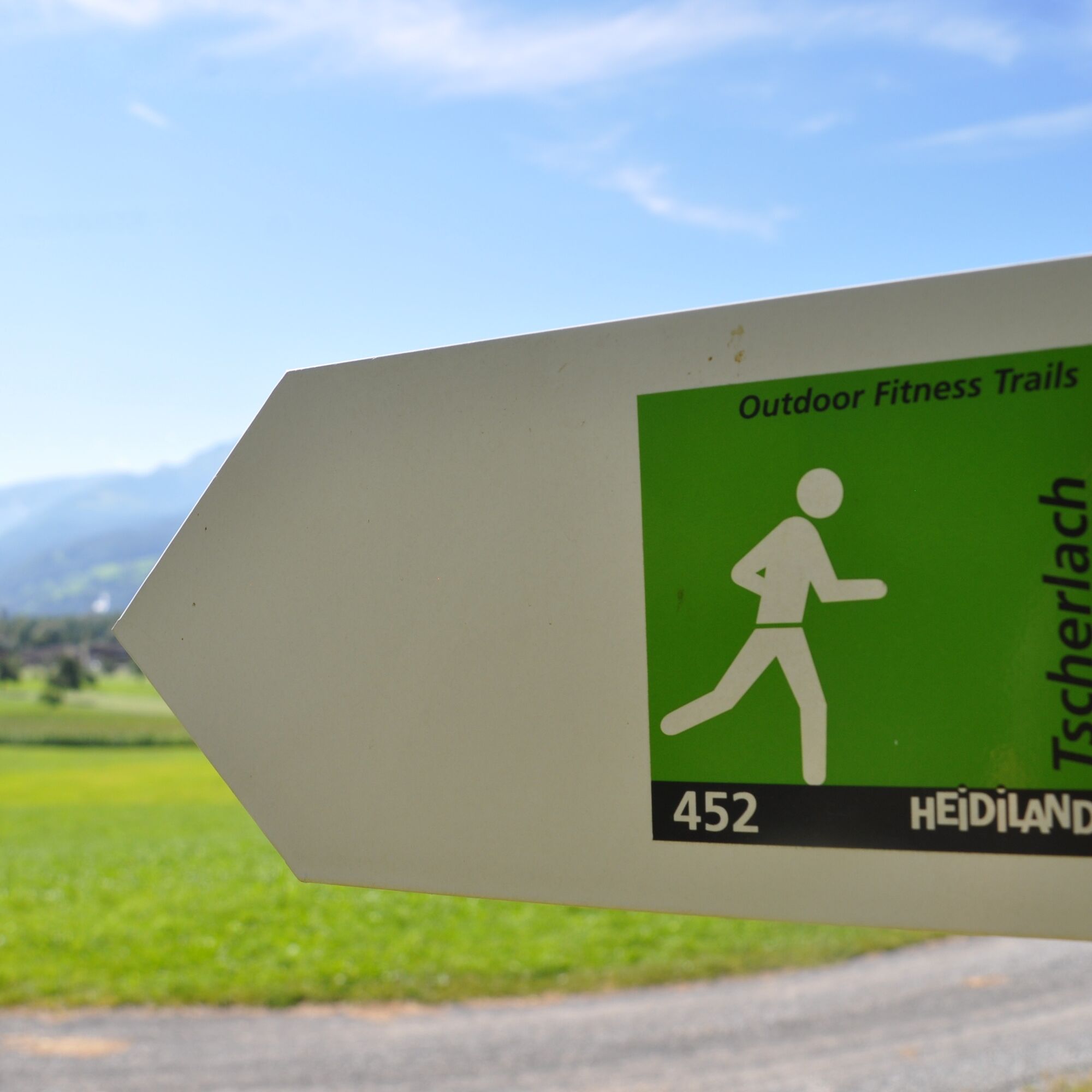
Tscherlach trail 452


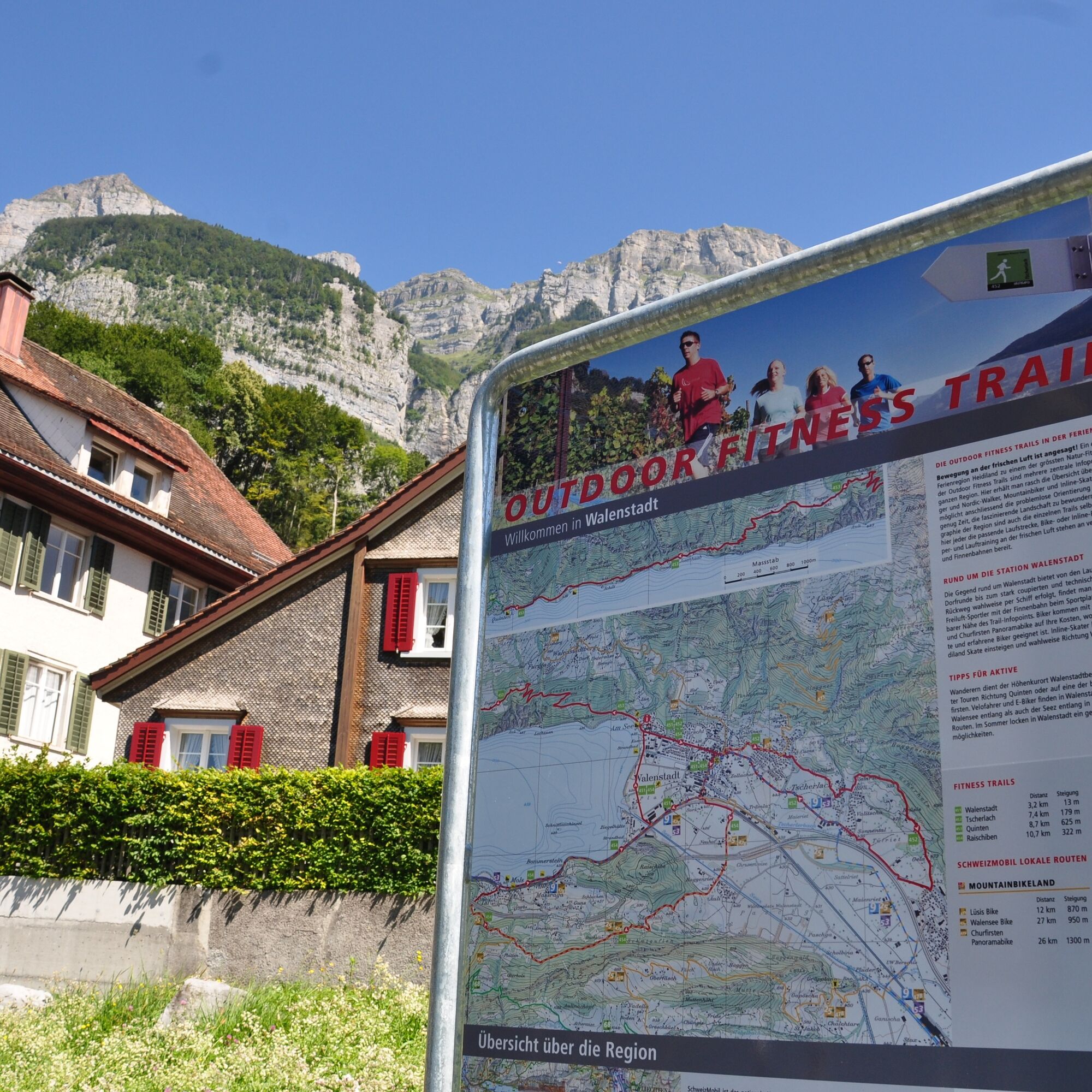
The Outdoor Fitness Trails in the Heidiland vacation region comprise over 30 uniformly signposted running trails from a total of 10 stations, forming one of the largest outdoor fitness parks in the Alps....
The Outdoor Fitness Trails in the Heidiland vacation region comprise over 30 uniformly signposted running trails from a total of 10 stations, forming one of the largest outdoor fitness parks in the Alps. The Tscherlach Trail is one of four running trails around the Walenstadt station.
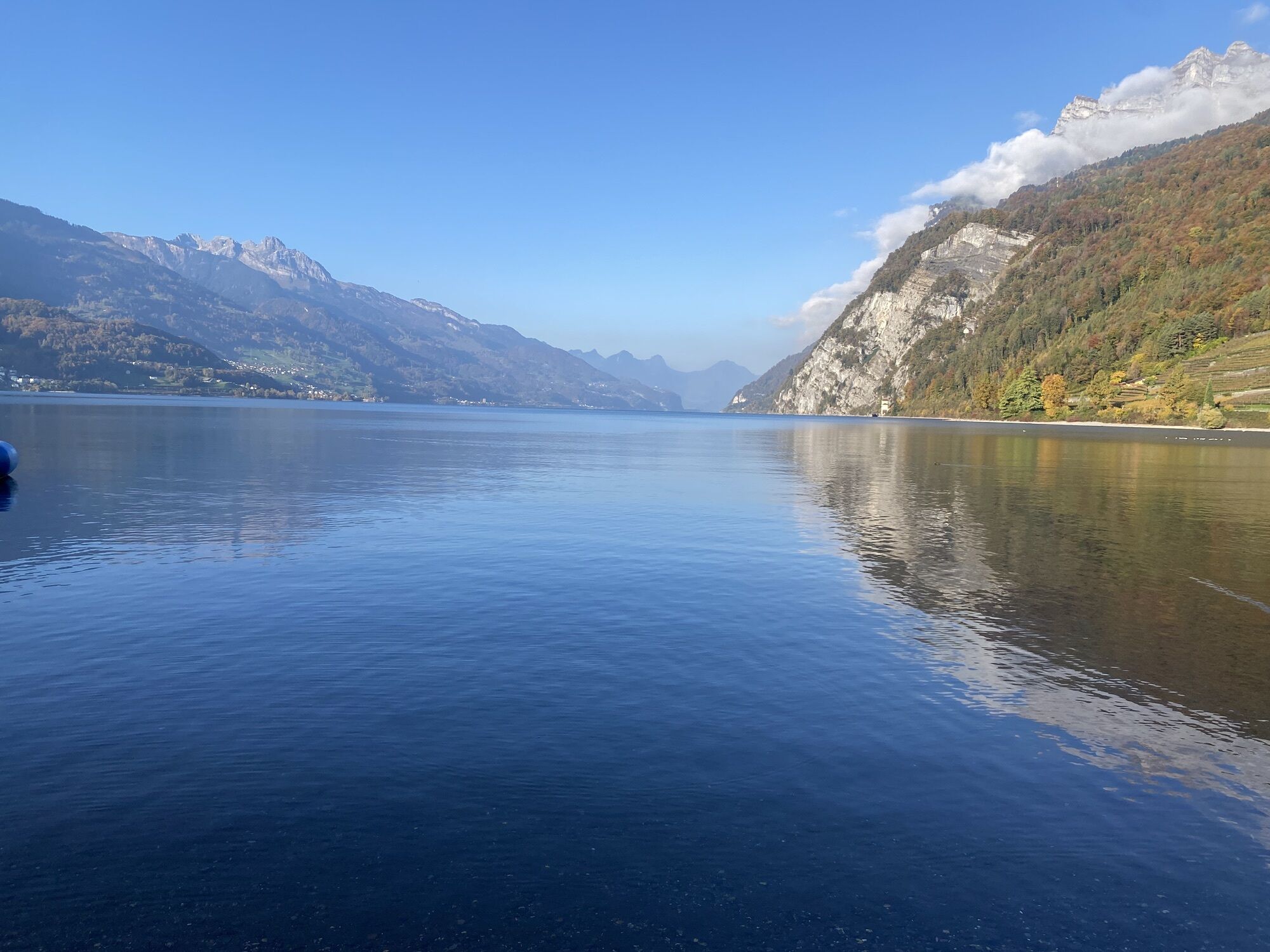
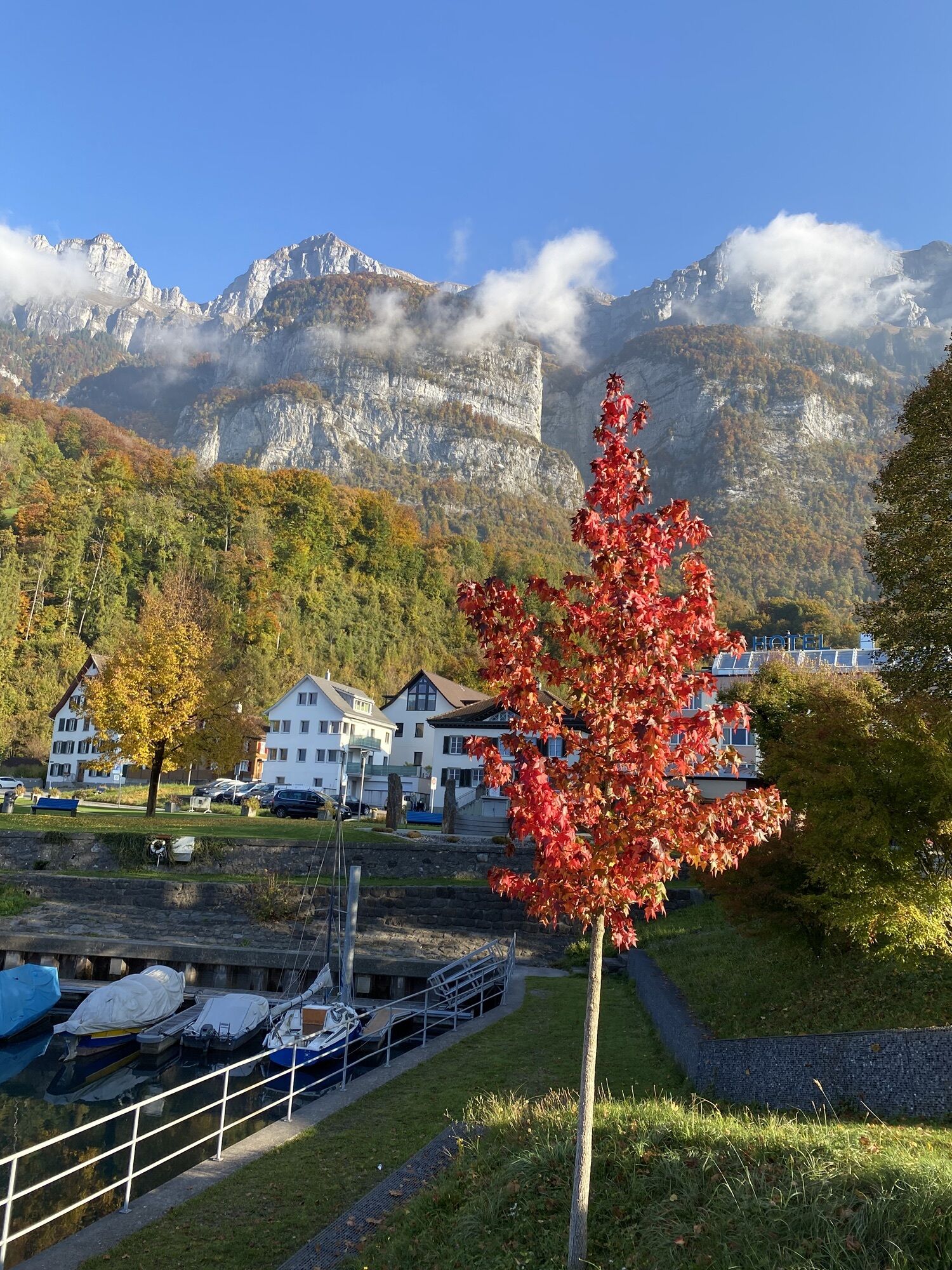
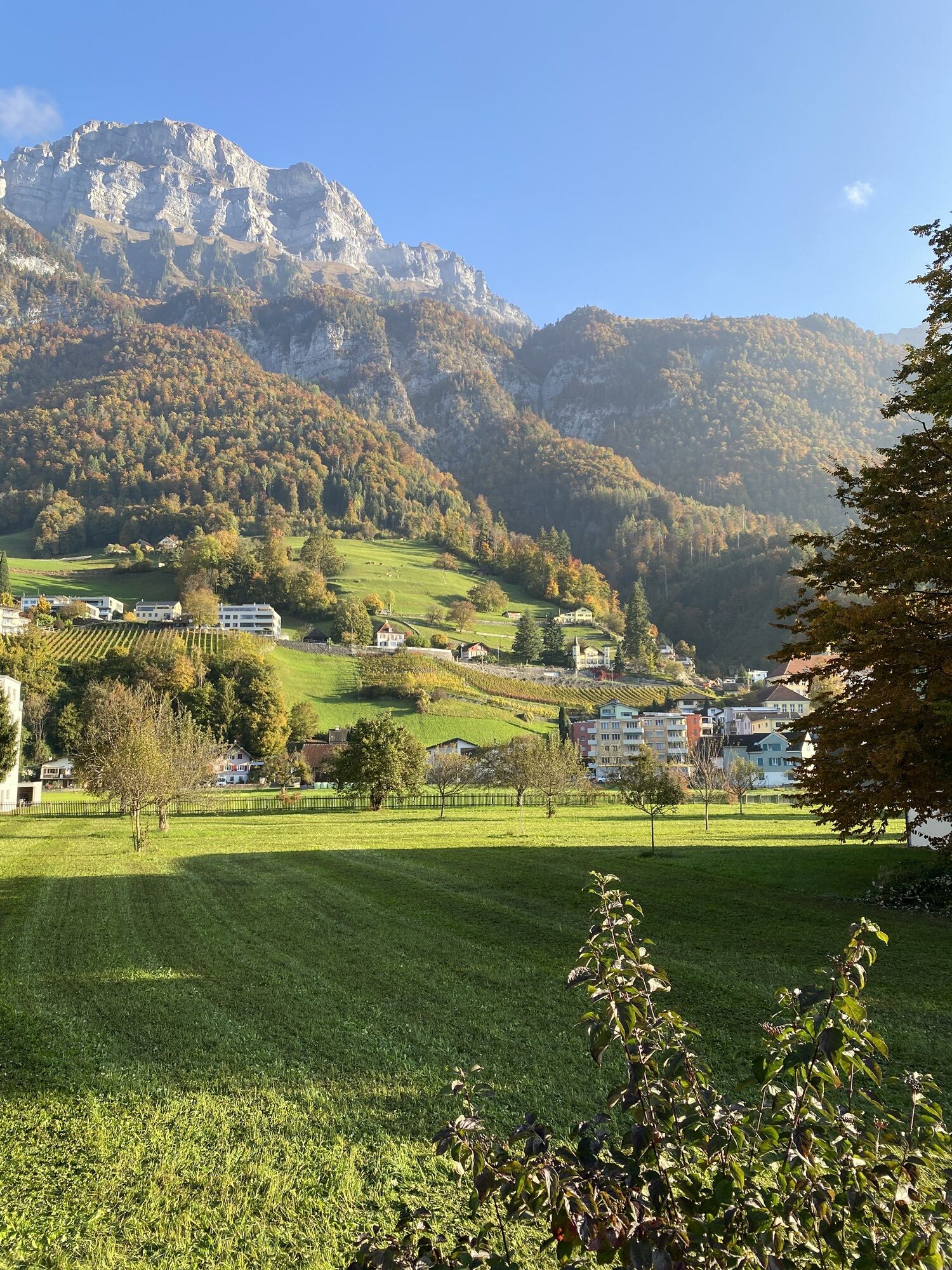
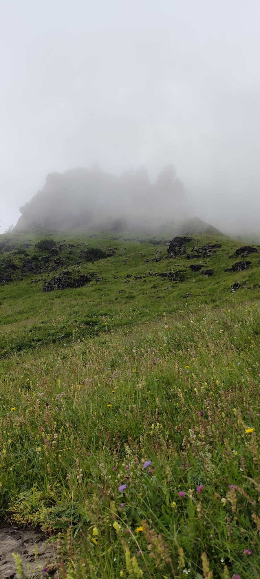
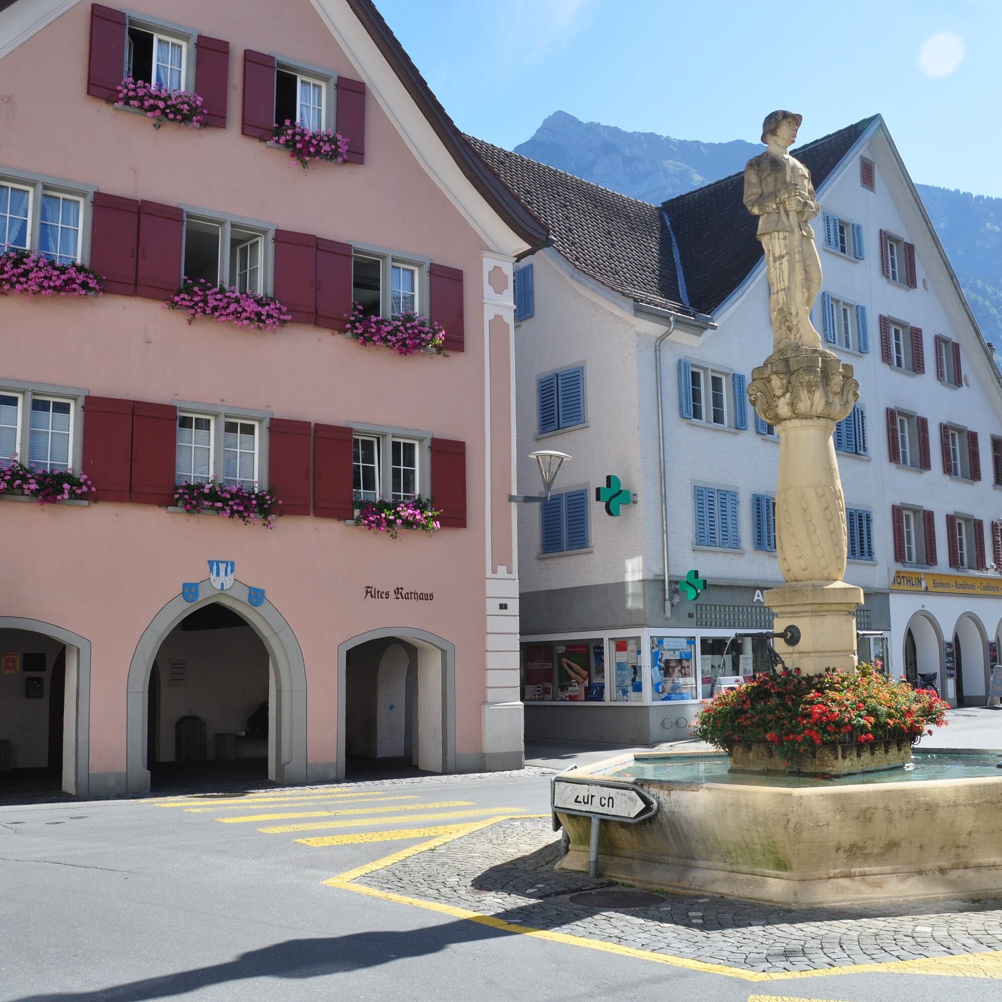
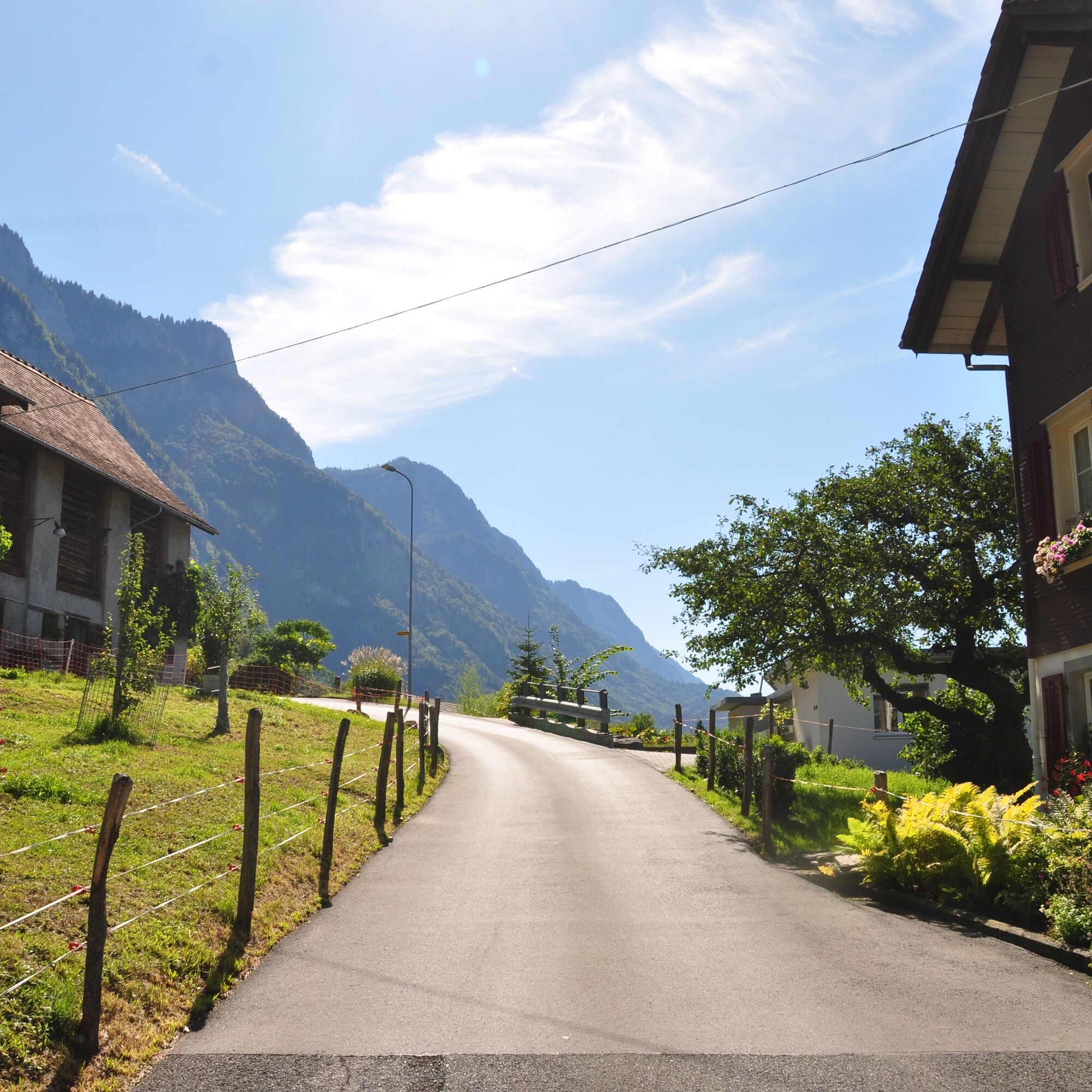
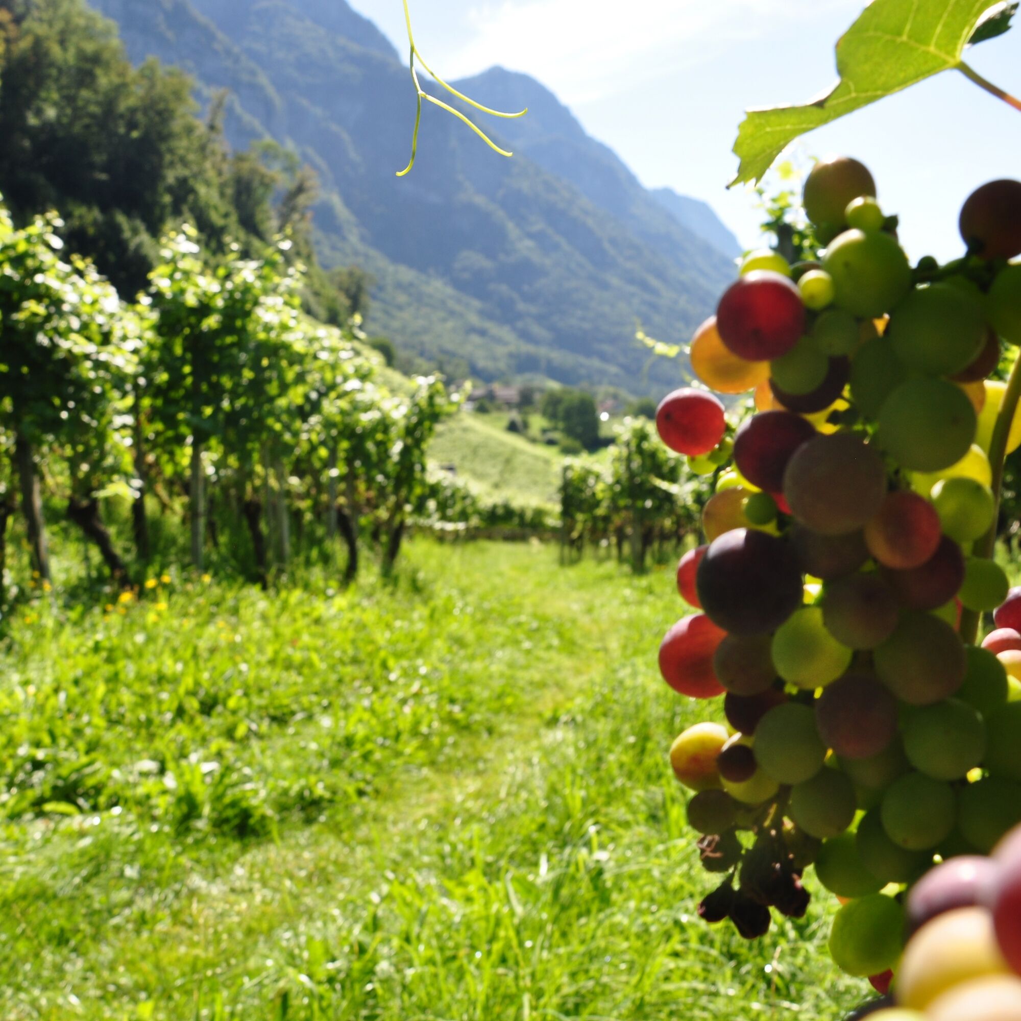
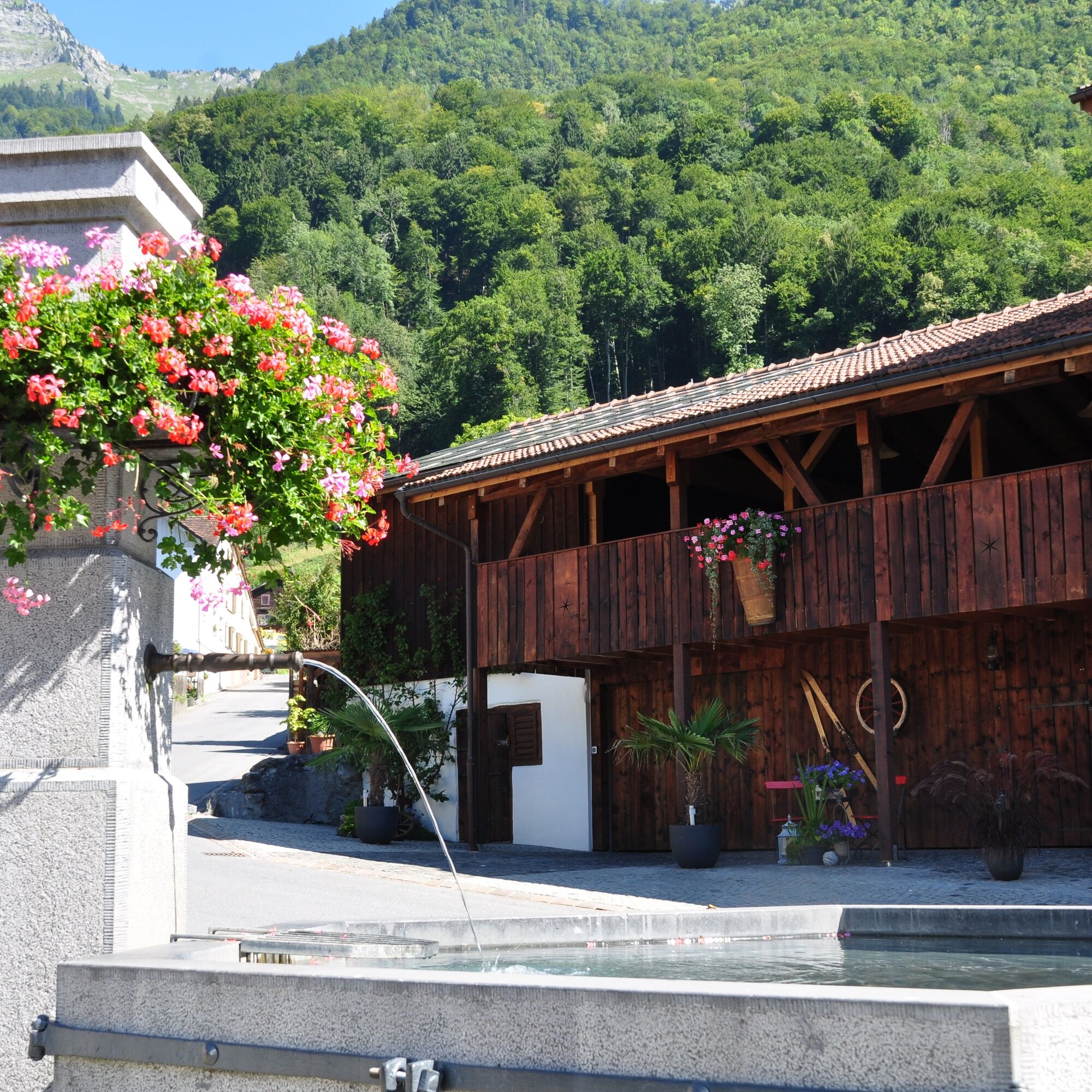
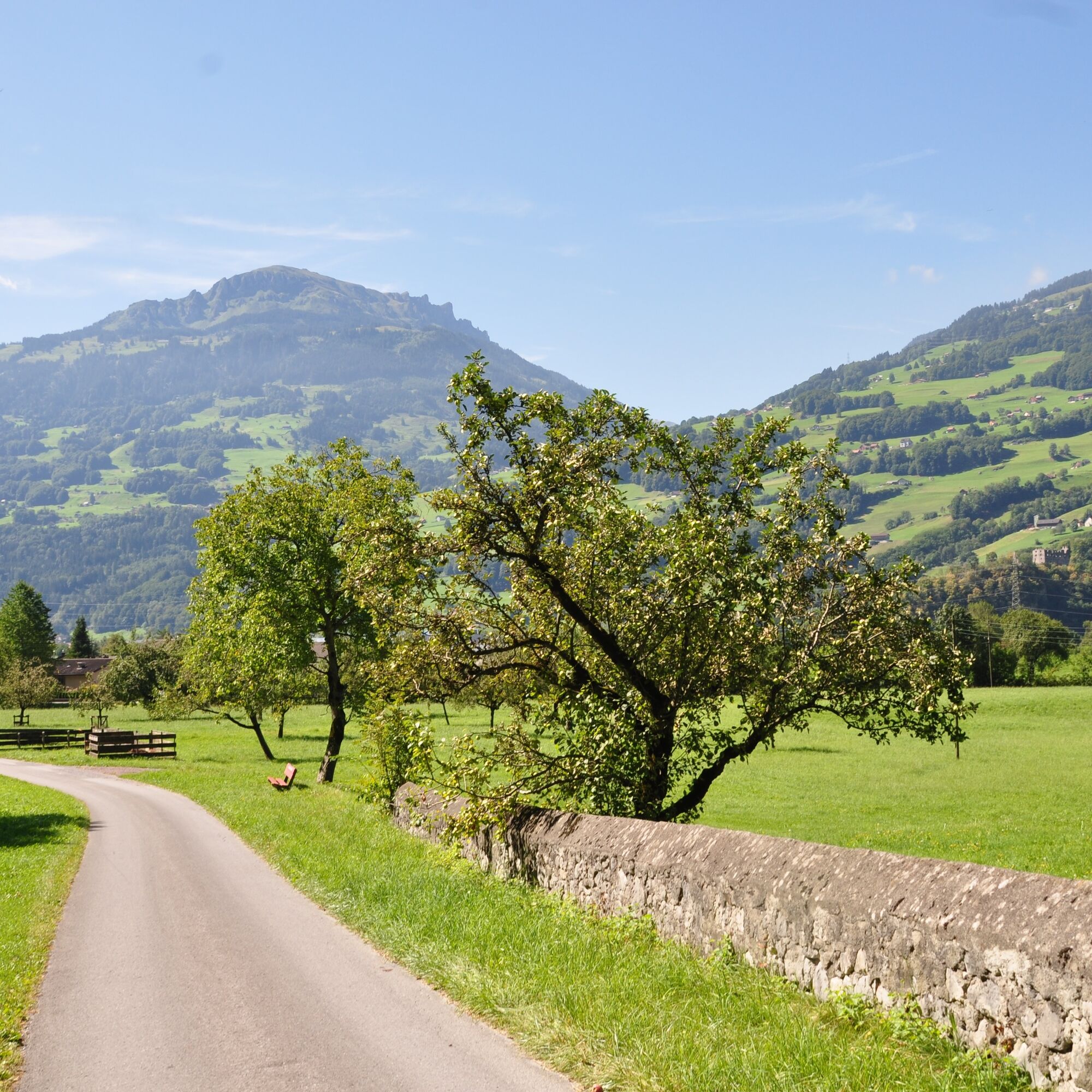
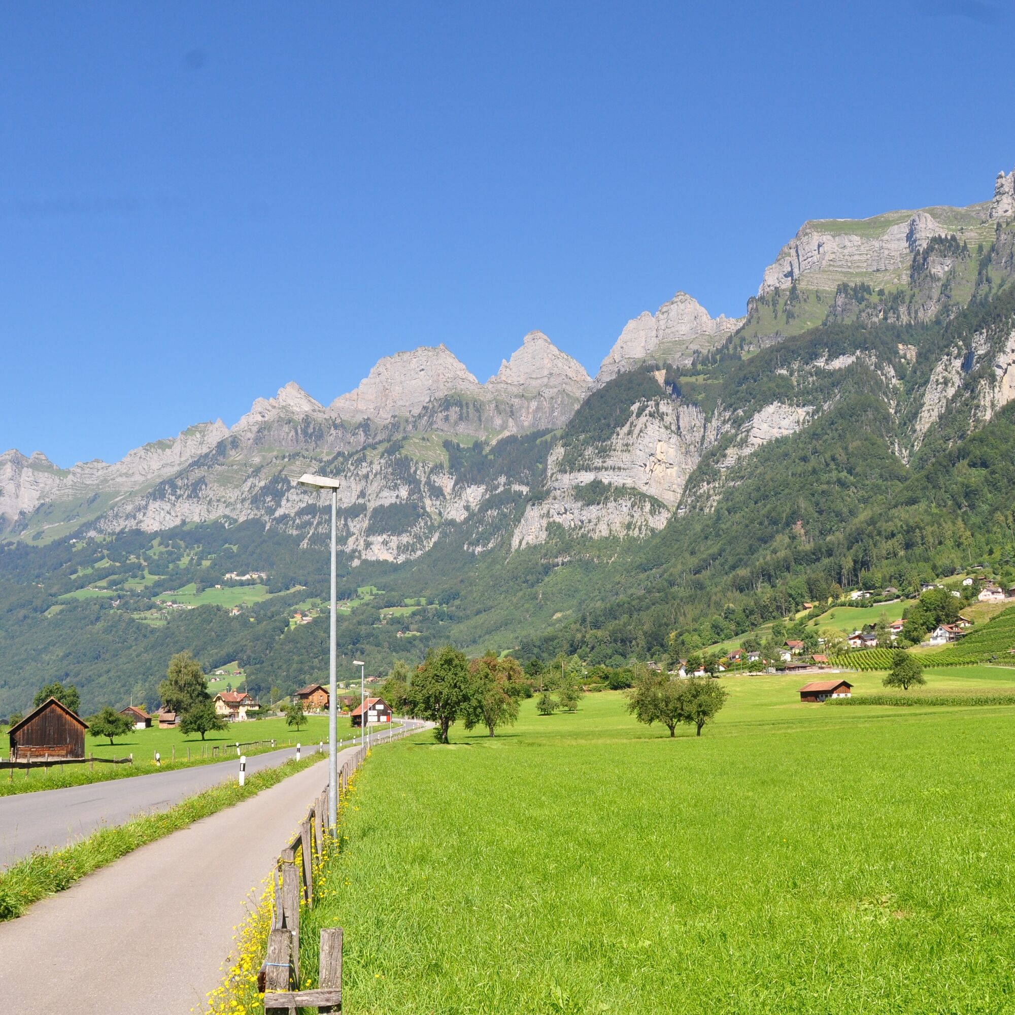
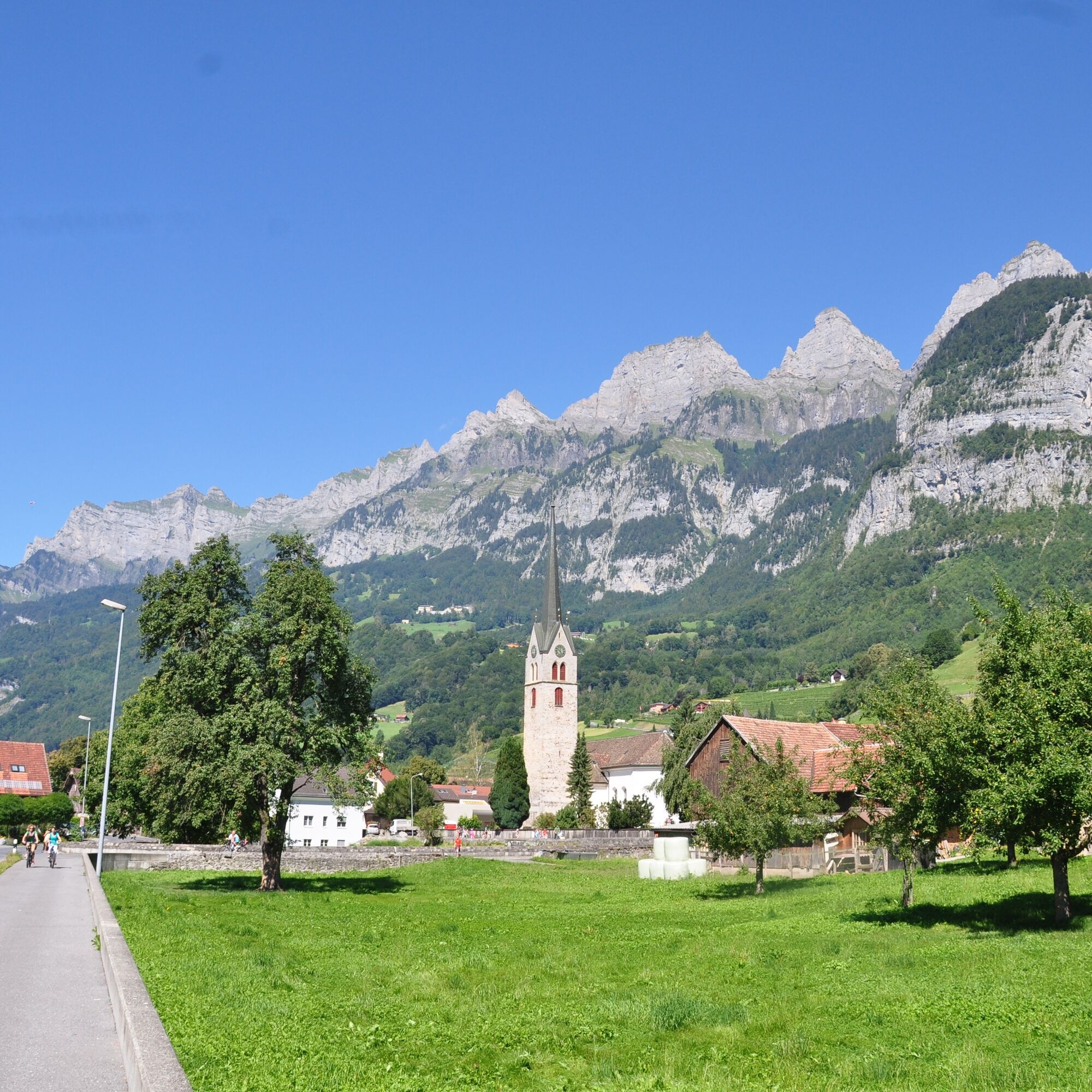
The starting point for this 7.4 km trail is the info point at the Walenstadt station near the Schifflände (425 m above sea level). From here, the trail leads right into the historic town of Walenstadt, past the Catholic church to the village exit (473). The trail now runs along the Widenbach for a few meters before turning left. The trail continues through the vineyards and across meadows to the village of Tscherlach (451). Above the village, a short but steep ascent begins on a gravel road to the edge of the forest near Valarsch (533). From now on, the route only goes straight ahead or downhill as far as Berschis (444): first on a well-maintained hiking trail, then on a tarred road above the village. All the way down, you have a wonderful view of the cultivated landscape around Walenstadt and the Flumserberge mountains. As soon as you have crossed the Tscherlerbach stream in Berschis, the trail turns right and follows the stream to the main road, where it crosses the stream again. With the imposing Churfirsten mountains always in sight, the trail leads back to Tscherlach on a paved side road and finally to the starting point in Walenstadt.

Walenstadt - Tscherlach - Berschis - Tscherlach - Walenstadt
Lightweight and comfortable jogging gear
Take the highway exit Walenstadt/Flums and then follow the main road in the direction of Walenstadt and follow the signs for See.
Take the train to Walenstadt. Alternatively, you can start the tour right at the station.
Public parking spaces available at the harbor in Walenstadt (subject to charge)
Heidiland Tourism
Info point Unterterzen
T +41 81 720 17 17
www.heidiland.com
Most of the Outdoor Fitness Trails run along official hiking trails. The hiking trail signage therefore also helps with orientation along the way.
Suosittuja retkiä naapurustossa
-
4,7
Riviera Walensee Walenstadt - Quinten
mediumVaellus 10,4 km -
4,6
Riviera Lake Walen Weesen – Quinten
mediumVaellus 10,2 km -
4,5
Weesen - Quinten - Walenstadt
raskasVaellus 20,6 km -
4,7
Alvier
mediumVaellus 3,33 km -
Lake Chapfen round trip
valoVaellus 4,27 km -
5,0
Schrina Alp and Cultural Trail
mediumTeemareitti 11,5 km -
4,6
Säntis
mediumVuoristovaellus 17,5 km -
4,6
4-Summit-Route Flumserberg
mediumVaellus 8,65 km -
3,3
Seerenbach waterfalls
valoVaellus 4,38 km -
5,0
Mountain route over Rotsteinpass to Säntis
raskasVaellus 8,53 km
Vaellus & jäljitys


Älä jää paitsi tarjouksista ja inspiraatiosta seuraavaa lomaasi varten.
Sähköpostiosoitteesi on lisätty postituslistalle.