


Tamina Gorge trail 412


Kuvia käyttäjistämme
-
 © Rita GortLuotu 27.06.2023
 -
 © Rita GortLuotu 27.06.2023
 -
 © Rita GortLuotu 27.06.2023
 -
 © Rita GortLuotu 27.06.2023
 -
 © Stefan HeinzelmannLuotu 03.09.2025
 -
 © Stefan HeinzelmannLuotu 03.09.2025
 -
 © Stefan HeinzelmannLuotu 03.09.2025
 -
 © Stefan HeinzelmannLuotu 03.09.2025
 -
 © Marianne GrobnerLuotu 26.08.2025
 -
 © Marianne GrobnerLuotu 26.08.2025
 -
 © Marianne GrobnerLuotu 26.08.2025
 -
 © Joe TäschlerLuotu 04.05.2025
 -
 © luyyyLuotu 31.08.2024
 -

 © PerryBLuotu 25.06.2023


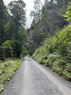
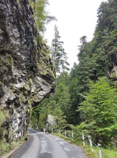
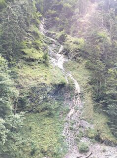
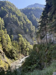
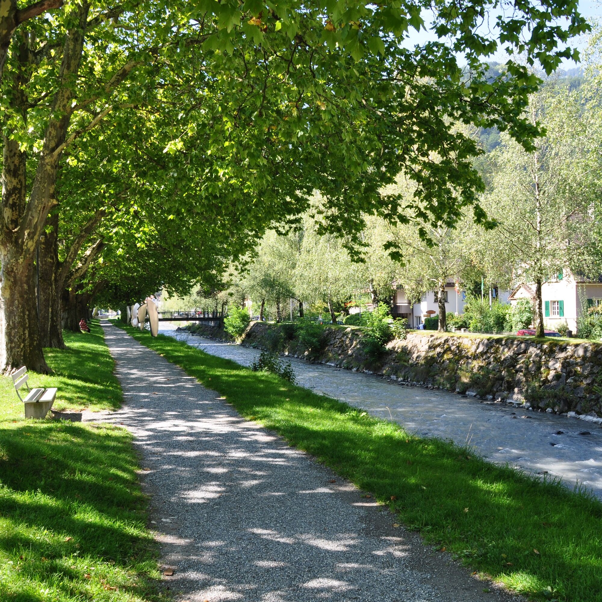
The starting point for this 5.9 km trail is the information point at the Bad Ragaz station near the Giessenpark outdoor pool (503 m above sea level). Like the Giessenpark Trail, the Tamina Gorge Trail...
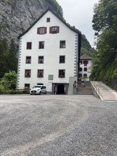
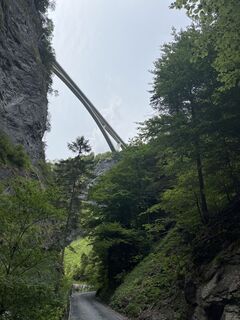
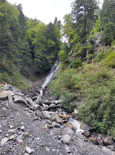
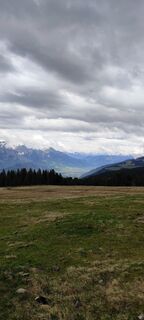
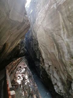
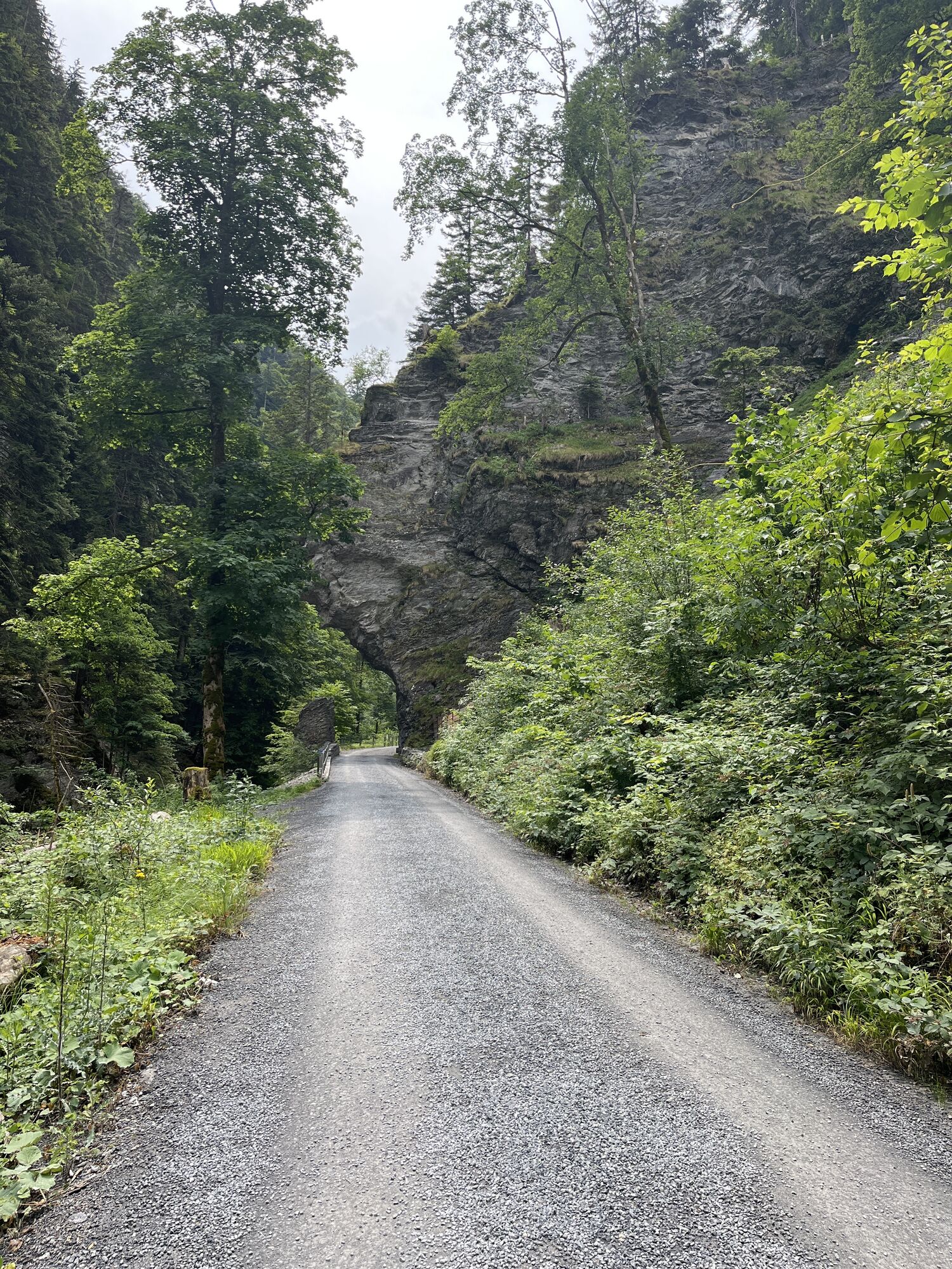
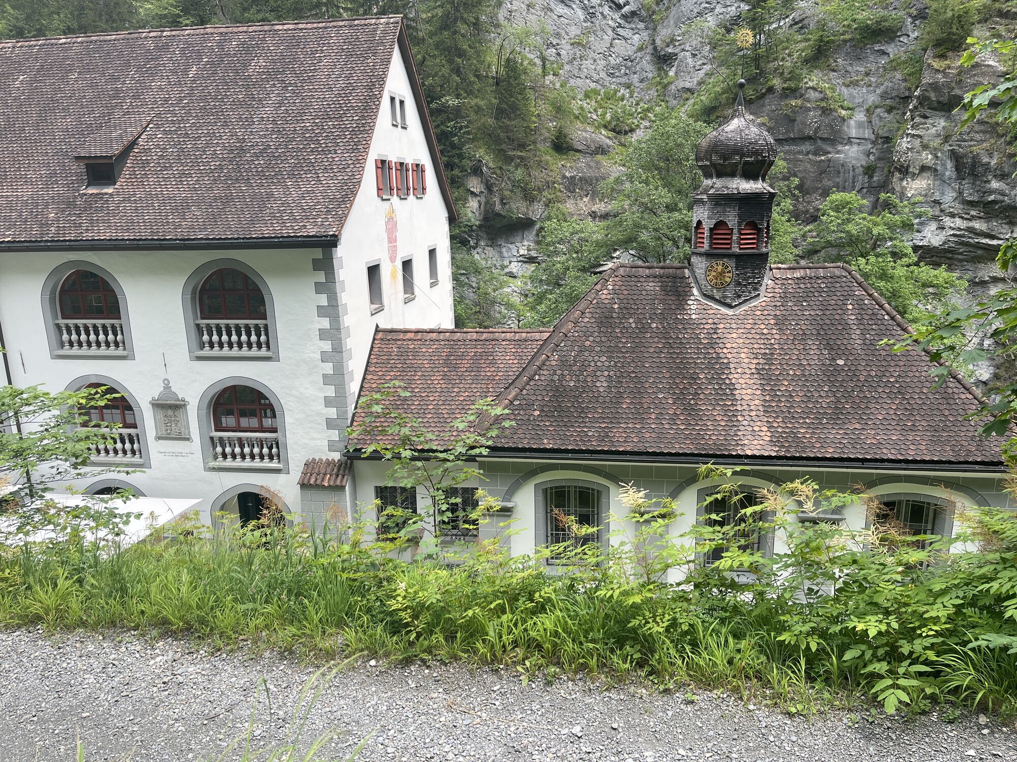
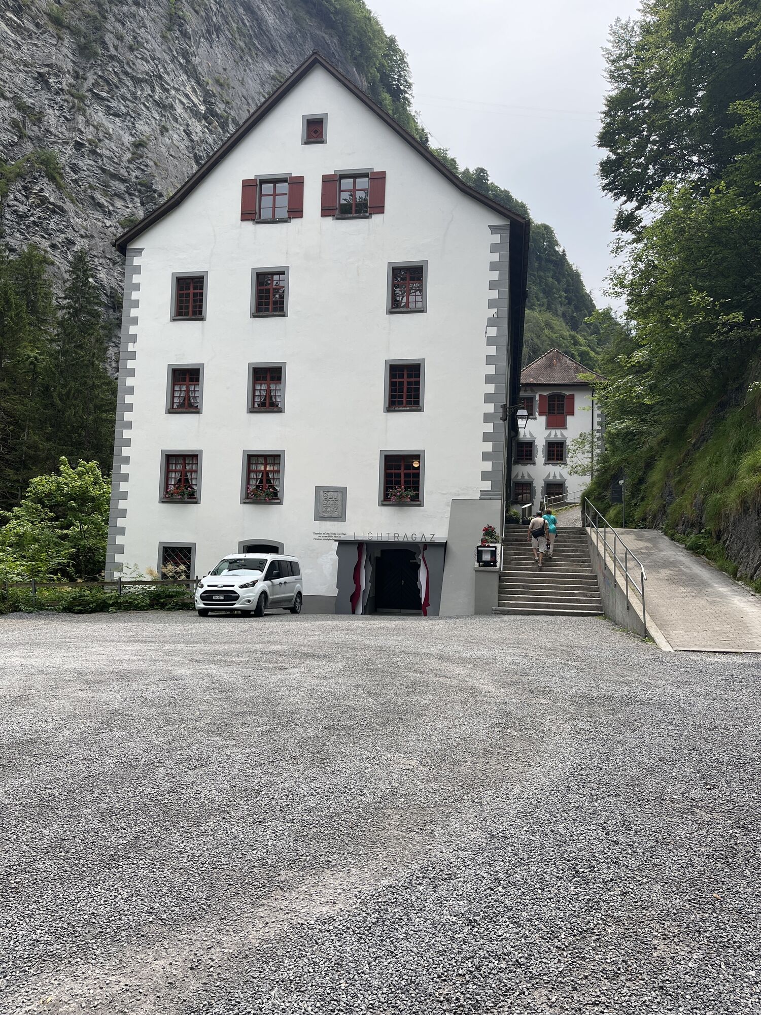
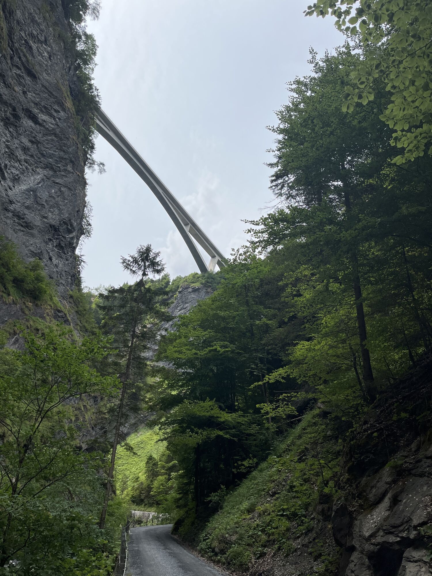
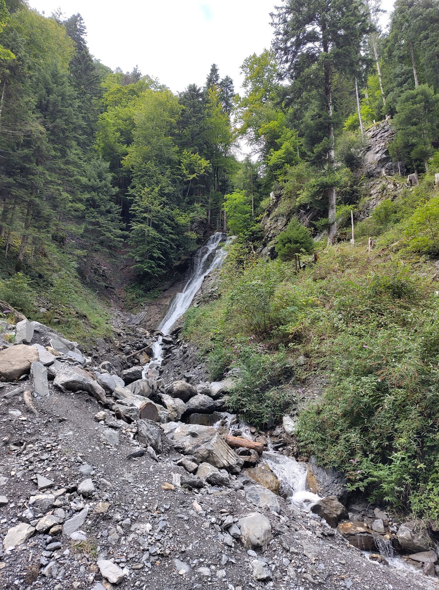
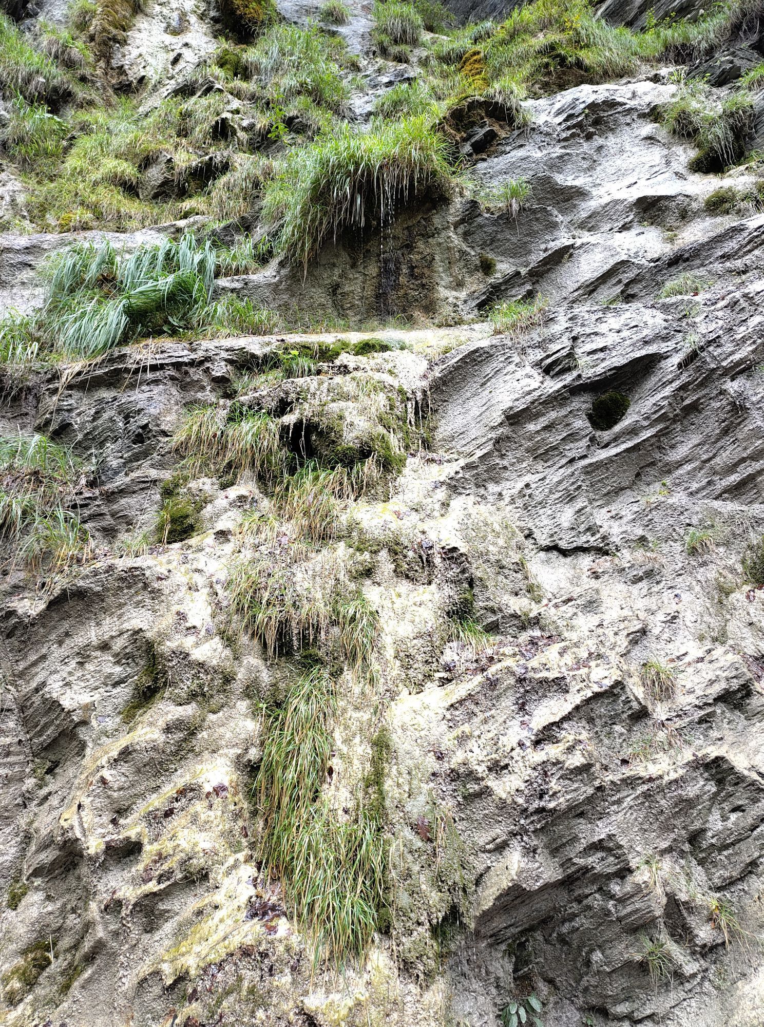
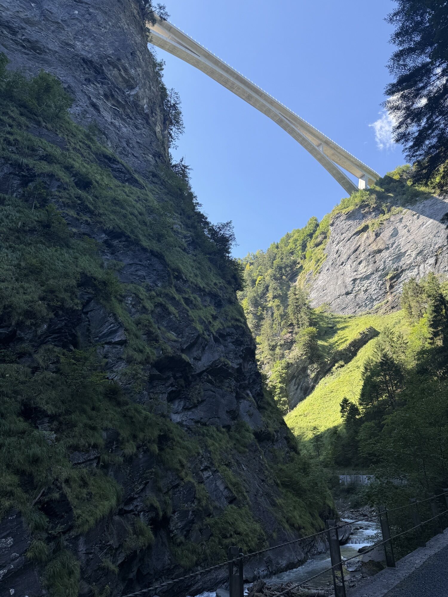
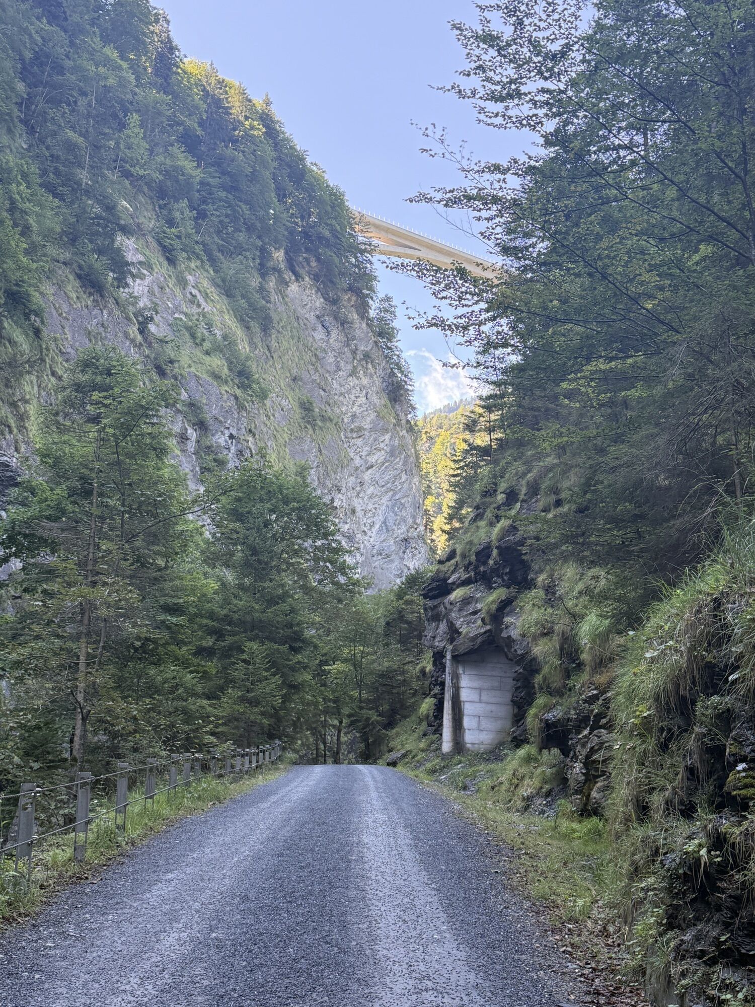
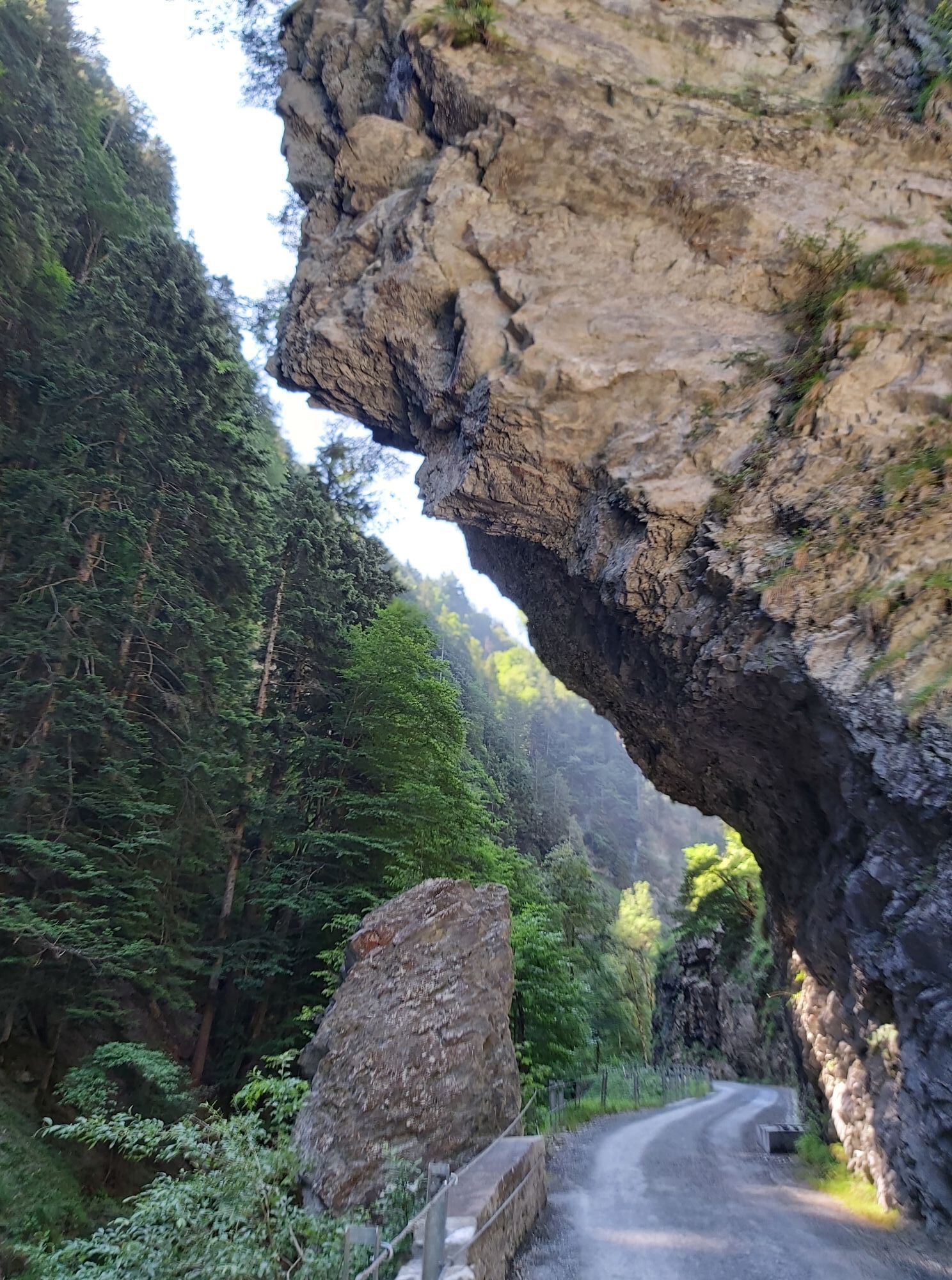
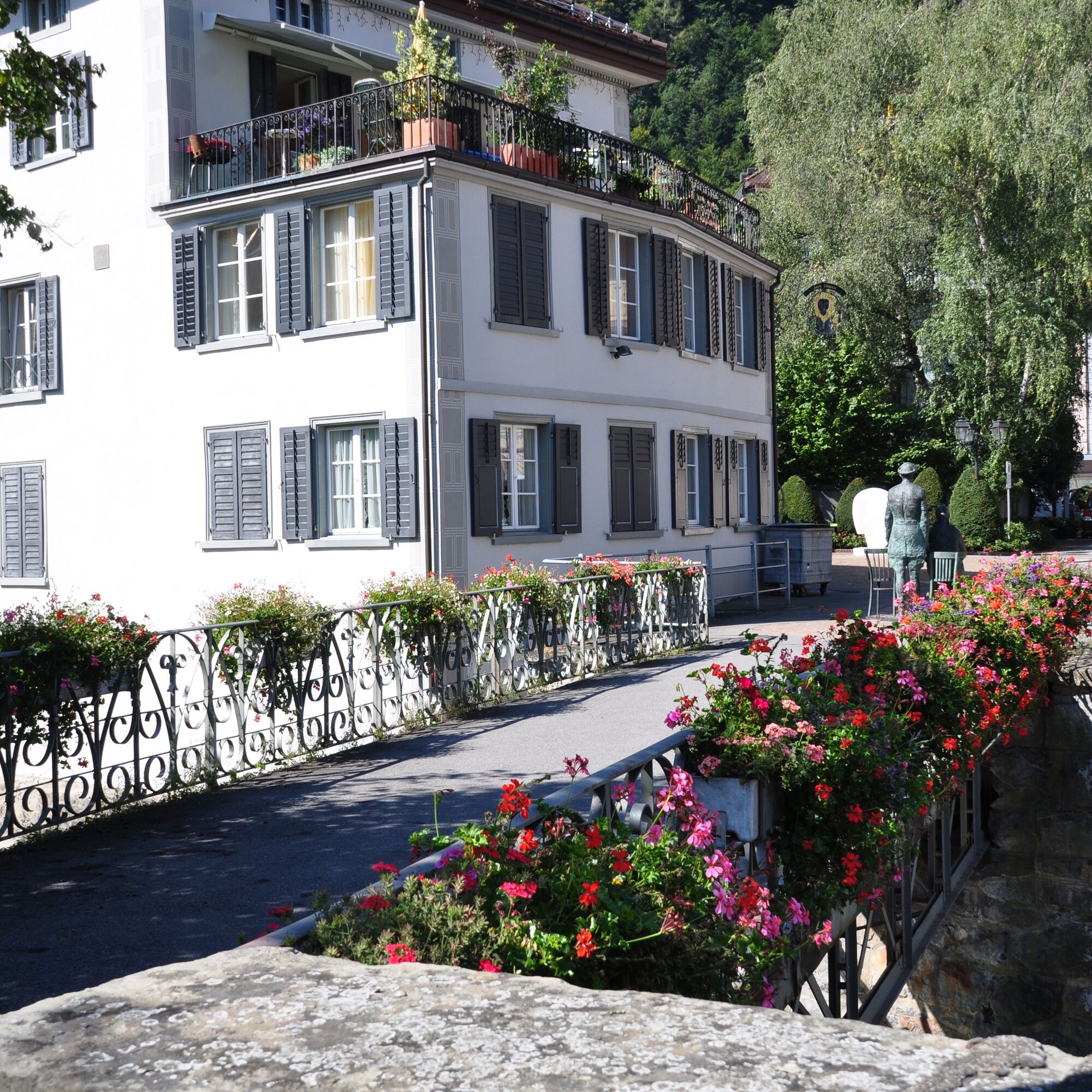
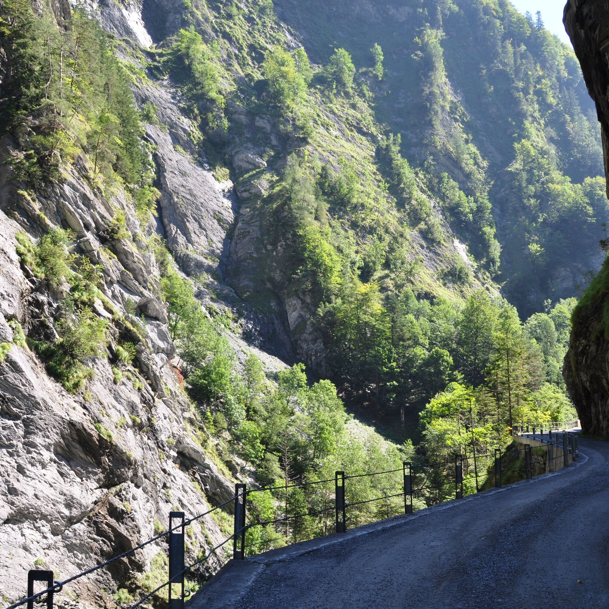
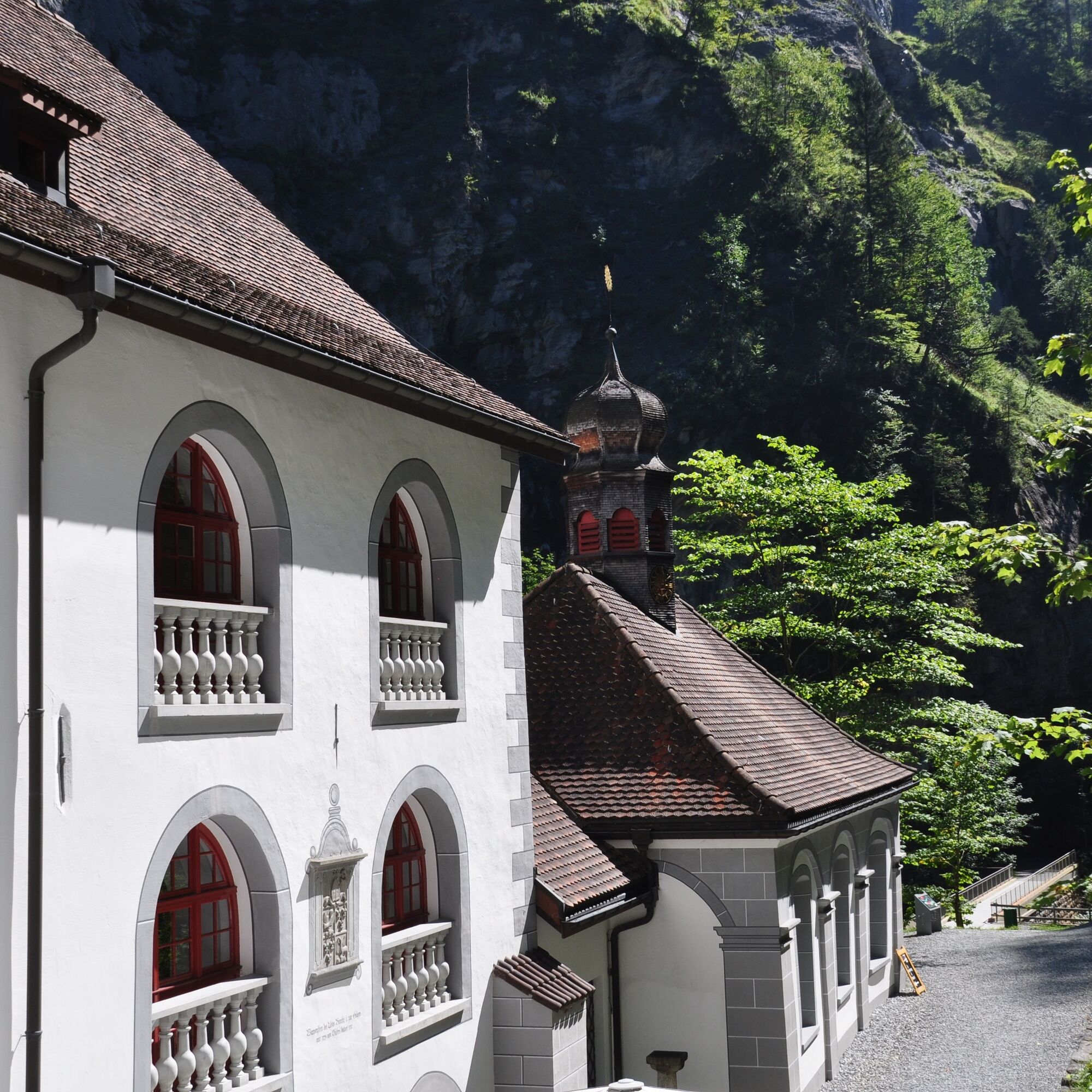
The starting point for this 5.9 km trail is the information point at the Bad Ragaz station near the Giessenpark outdoor pool (503 m above sea level). Like the Giessenpark Trail, the Tamina Gorge Trail first runs along the Tamina through the romantic mixed forest and past a mighty avenue of beech trees to the entrance to the village of Bad Ragaz (514). In the village itself, the trail first crosses the Tamina and leads through picturesque alleyways to the entrance to the Badtobel ravine on the southern edge of the village. Flanked by imposing rock faces, the trail meanders along the Tamina through partly dense forest, past numerous waterfalls and various types of vegetation, to the Alter Bad Pfäfers (680), where the trail ends and just behind it is the entrance to the mystical Tamina Gorge. The Tamina Gorge Trail is particularly recommended on hot days. Shady sections and the cool stream air in the ravine make for a refreshing running experience.


Giessenpark Bad Ragaz - Bad Ragaz - Badtobel - Altes Bad Pfäfers
Good and comfortable jogging equipment.
Take the highway exit Bad Ragaz, then follow the signs to Giessenpark.
Public parking spaces available at Giessenpark (subject to charge)
Heidiland Tourism
Info point Bad Ragaz
T +41 81 300 40 20
www.heidiland.com
Visit the world-famous Tamina Gorge (admission CHF 5.-) and the Old Baths Museum in Pfäfers.
Suosittuja retkiä naapurustossa
-
4,5
Fürstin-Gina-Weg
mediumVaellus 12,0 km -
4,8
Pizalun circular route
valoVaellus 7,18 km -
4,6
5-Seen Wanderung am Pizol
valoVaellus 10,1 km -
4,7
Alvier
mediumVaellus 3,33 km -
4,7
Pizol - Batöni - Weisstannen
raskasVaellus 11,7 km -
Lake Chapfen round trip
valoVaellus 4,27 km -
4,8
Wanderung von Sareis über den Augstenberg und die Pfälzerhütte nach Malbun
mediumVaellus 10,5 km -
4,5
Off to the Falknis
raskasVaellus 18,2 km -
5,0
Circular hike Bettlerweg & 2-Lakes Hike Pizol
mediumVaellus 11,4 km -
Vilan round tour
raskasVaellus 12,2 km
Vaellus & jäljitys


Älä jää paitsi tarjouksista ja inspiraatiosta seuraavaa lomaasi varten.
Sähköpostiosoitteesi on lisätty postituslistalle.