


Heidiland Hiking Tour 1: Weesen - Amden


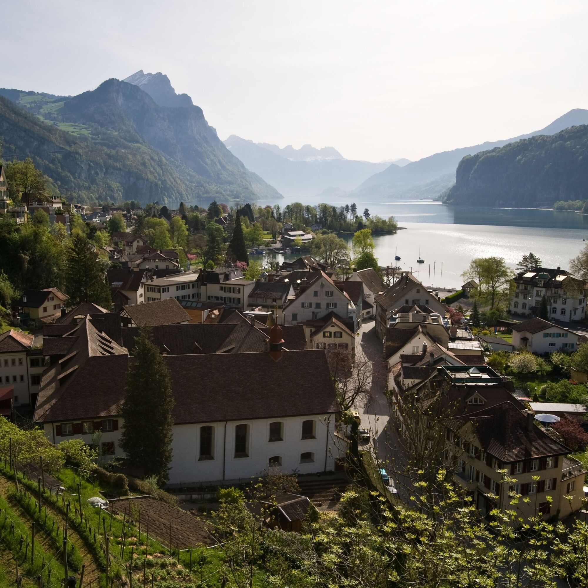
Starting at Weesen railroad station, you cross the Linth Canal and then turn right towards Lake Walen. On the shores of Weesen, you have a view of the whole of Lake Walen and are greeted by a Mediterranean...
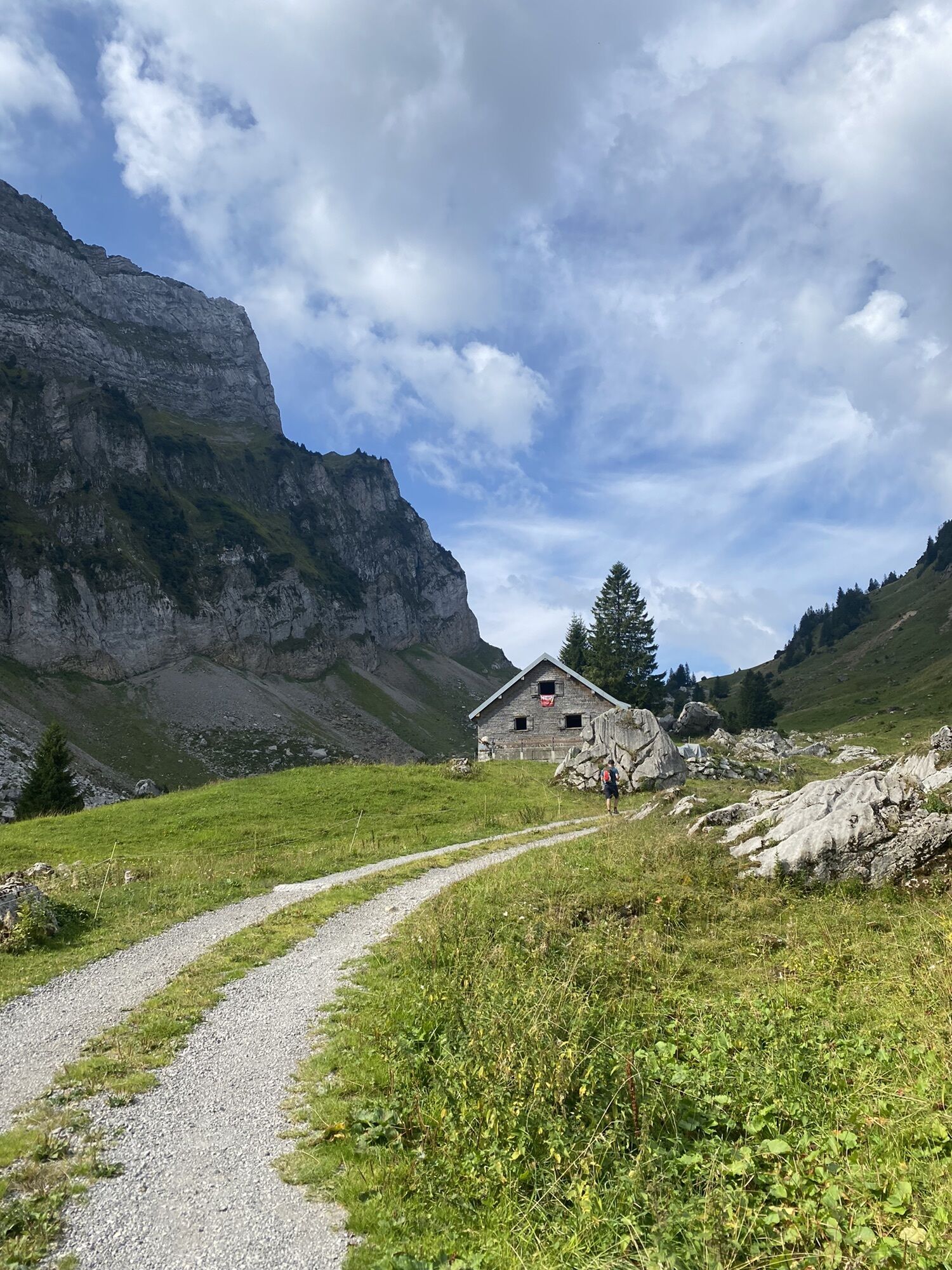
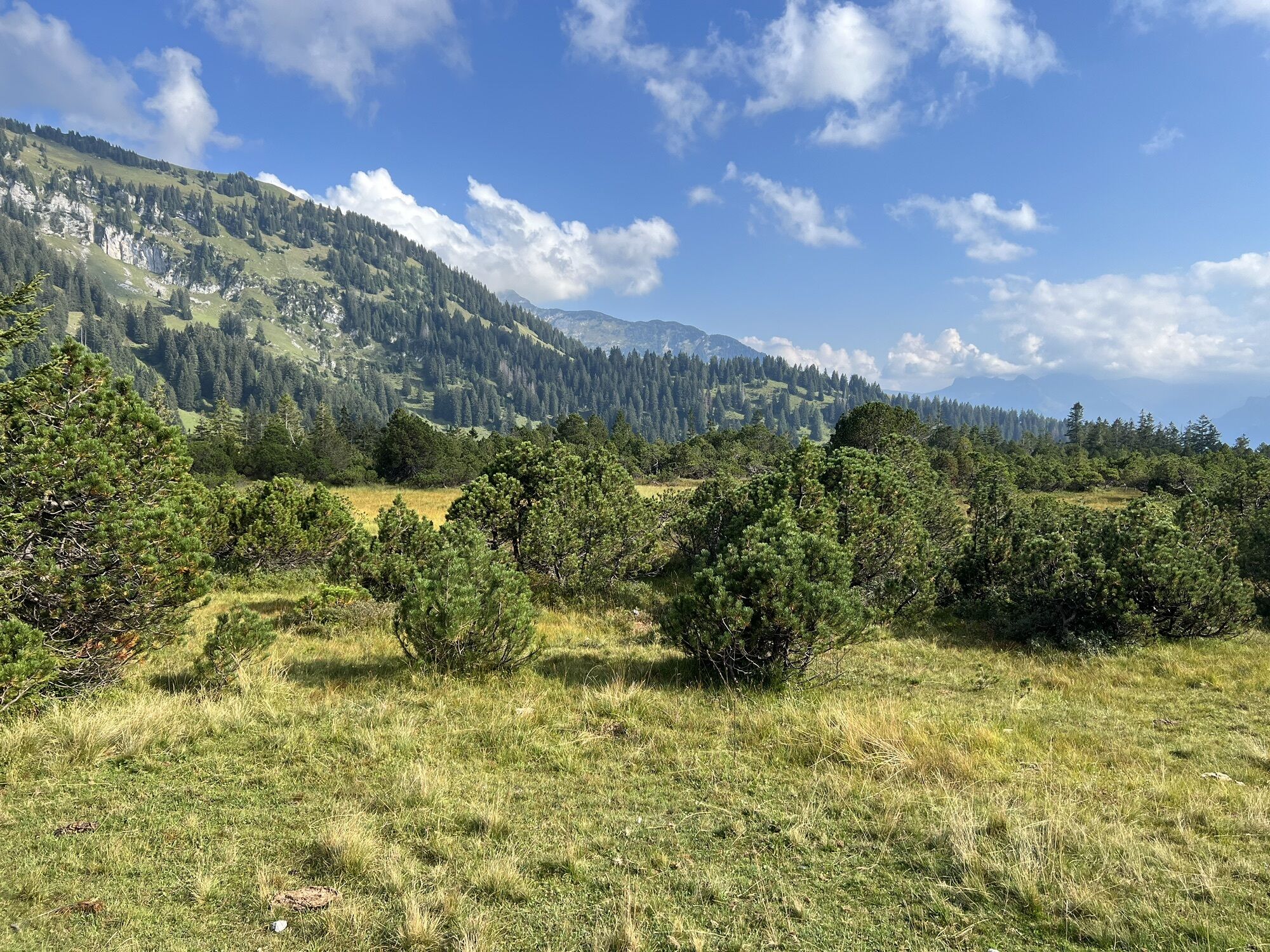
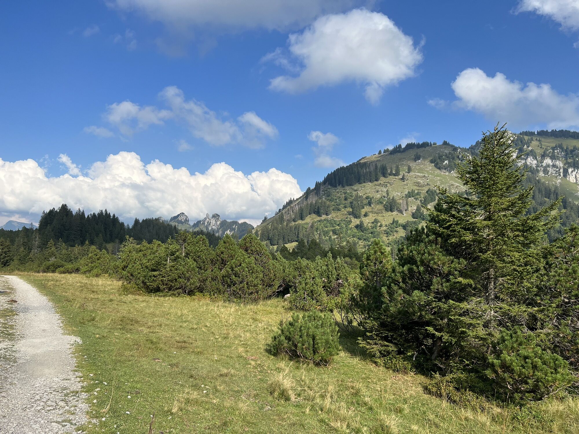
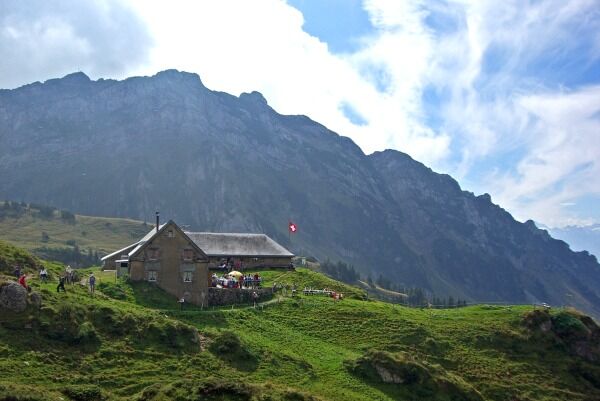
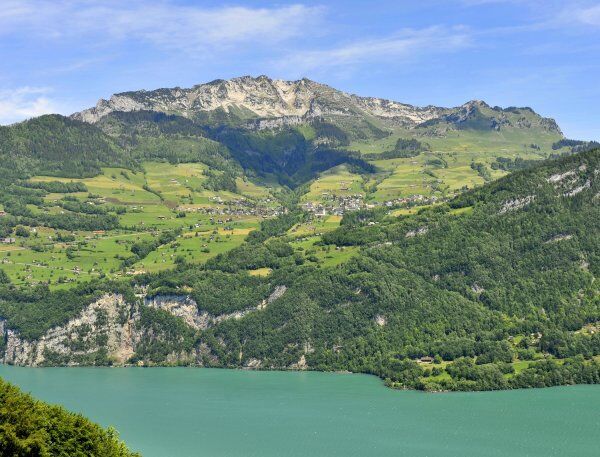
Starting at Weesen railroad station, you cross the Linth Canal and then turn right towards Lake Walen. On the shores of Weesen, you have a view of the whole of Lake Walen and are greeted by a Mediterranean flair. After passing through the small town, the route climbs towards Matt. From time to time, it is worth taking a look at the lake, which lies lower and lower down in the valley. You continue to climb and the Mattstock massif rises up on the right. At Oberchäseren you are directly behind the Mattstock. Opposite is the Speer, which at 1,950 m above sea level is the highest Nagelfluh mountain in Europe. Here you can enjoy drinks and tasty dishes in idyllic surroundings at the alpine inn. Continue along the hiking trail to Hinter Höhi. Now it's not far to Niederschlag, where you can take the gondola lift and float comfortably down to the village of Amden with the best panoramic views.
Enjoy your first overnight stay in the mountain village of Amden.

Weesen - Matt - Oberchäseren - Hinter Höhi - Niederschlag - Amden
Normal hiking equipment, sturdy mountain boots.
The route runs partly along the road, so please watch out for other road users.
Freeway exit Weesen, then drive into the town center.
By train to Ziegelbrücke, then by post bus to Weesen.
Booking contact for the above-mentioned Heidiland hiking tour:
SwissTrails GmbH
Tel: +41 (0)44 450 24 34
E-mail: booking@swisstrails.ch
Internet: www.swisstrails.ch
Order hiking map: www.heidiland.com/de/aktivitaeten-erlebnisse/sommer/wandern-klettern/wanderkarte-heidiland
Heidiland Tourism, Flumserberg information office
T +41 81 720 18 18
www.heidiland.com
There are several hotspots along the way from where you can enjoy the fantastic view of Lake Walen.
Suosittuja retkiä naapurustossa
-
4,5
Weesen - Quinten - Walenstadt
raskasVaellus 20,6 km -
4,6
7-Peak-Tour Flumserberg
raskasVaellus 15,0 km -
4,6
4 Summit Tour Flumserberg
mediumVaellus 8,65 km -
3,3
Seerenbach waterfalls
valoVaellus 4,38 km -
5,0
Fronalpstock GL
mediumVaellus 7,84 km -
Murgsee Runde
mediumVaellus 16,2 km -
Murg Lakes Round Tour
raskasVaellus 14,5 km -
4,0
Amden - Speer (Rundkurs)
valoVaellus 17,6 km -
5,0
Cottage hike Lake Walen
valoVaellus 19,7 km -
3,7
Winterwanderung auf dem Rosenboden Panoramarundweg
valoTalvivaellus 2,95 km
Vaellus & jäljitys


Älä jää paitsi tarjouksista ja inspiraatiosta seuraavaa lomaasi varten.
Sähköpostiosoitteesi on lisätty postituslistalle.