


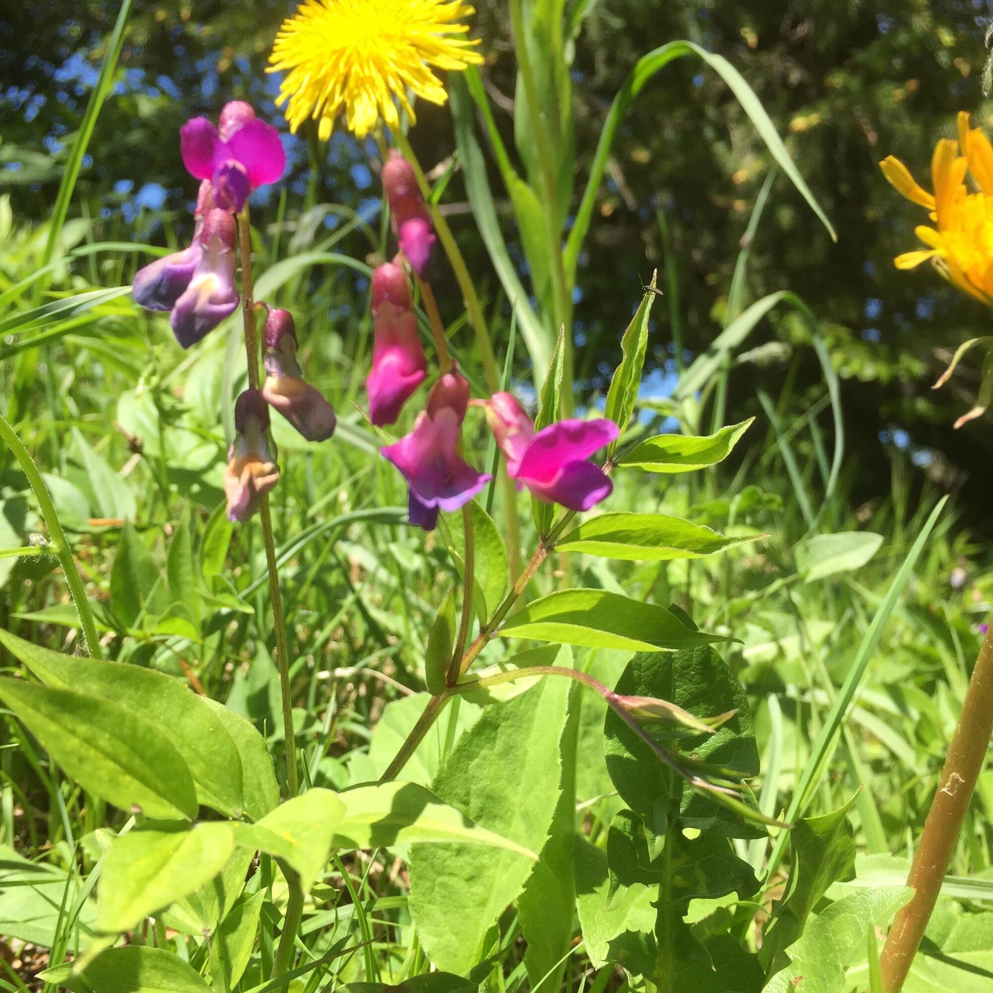
Swiss stone pine path


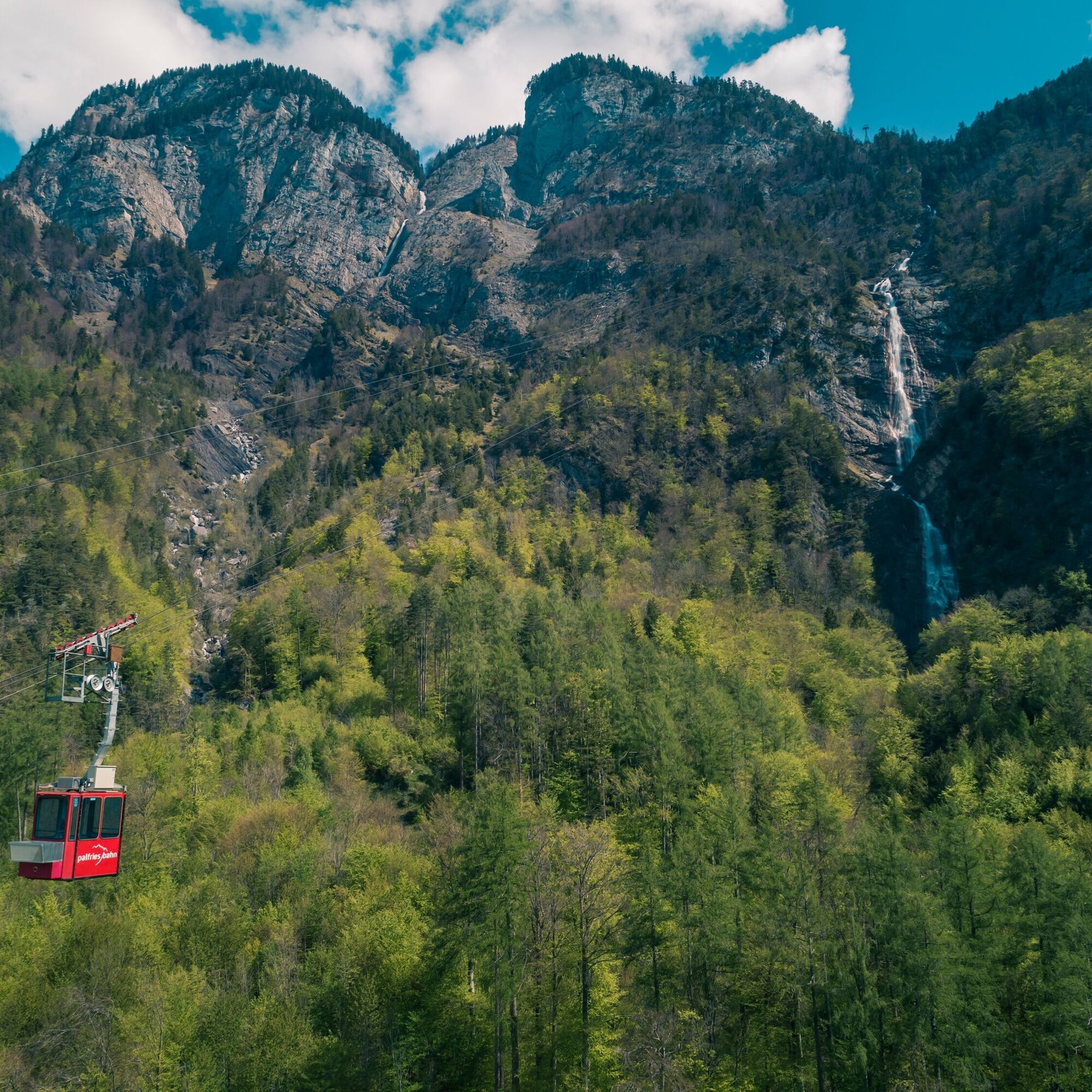
We start the hike at the Palfries mountain station. With the Palfries cable car, we have previously covered about 1,250 meters of altitude in just 12 minutes. The cable car passes over an impressive waterfall...
We start the hike at the Palfries mountain station. With the Palfries cable car, we have previously covered about 1,250 meters of altitude in just 12 minutes. The cable car passes over an impressive waterfall (Ragnatscher Bach) and takes us up to the Palfries plateau.
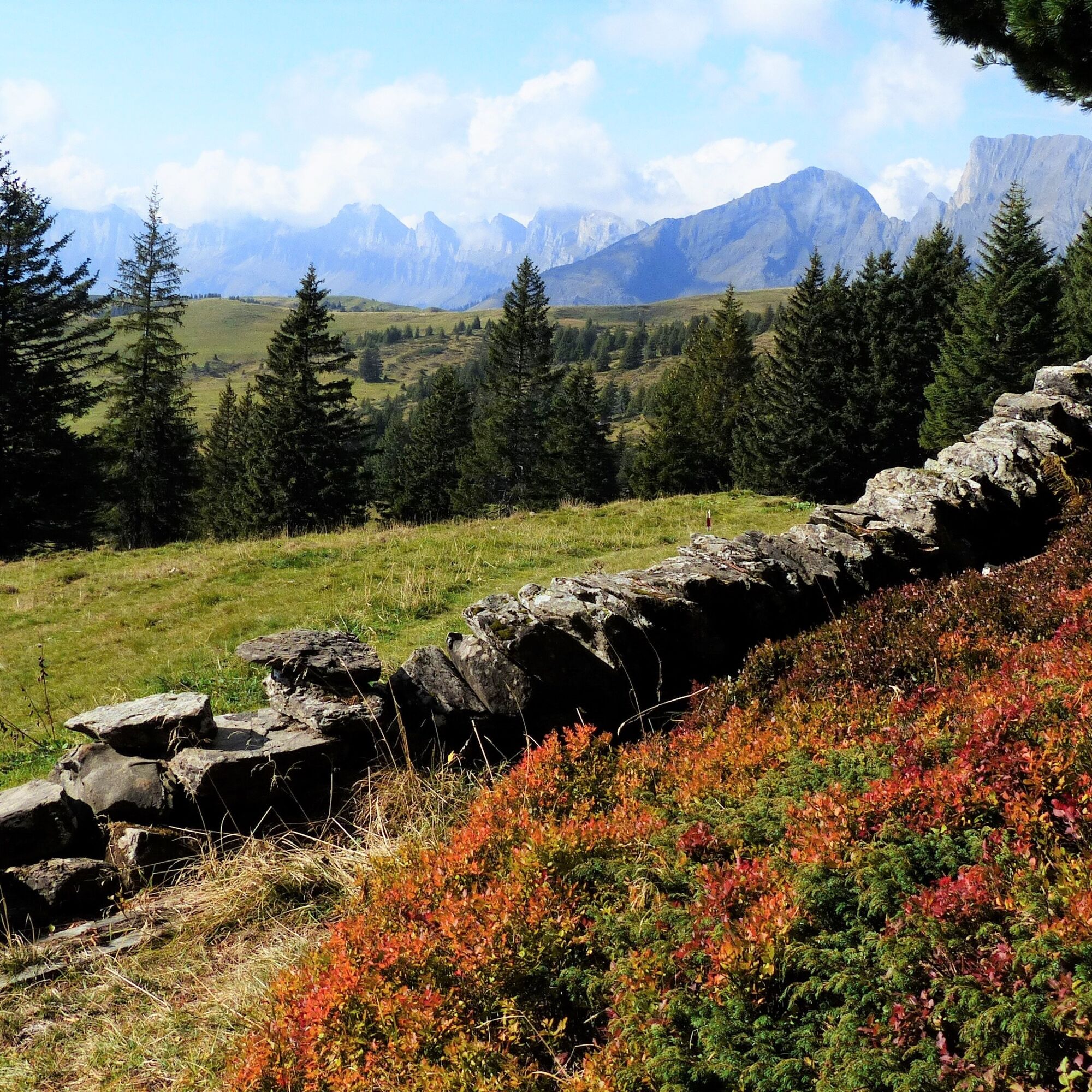
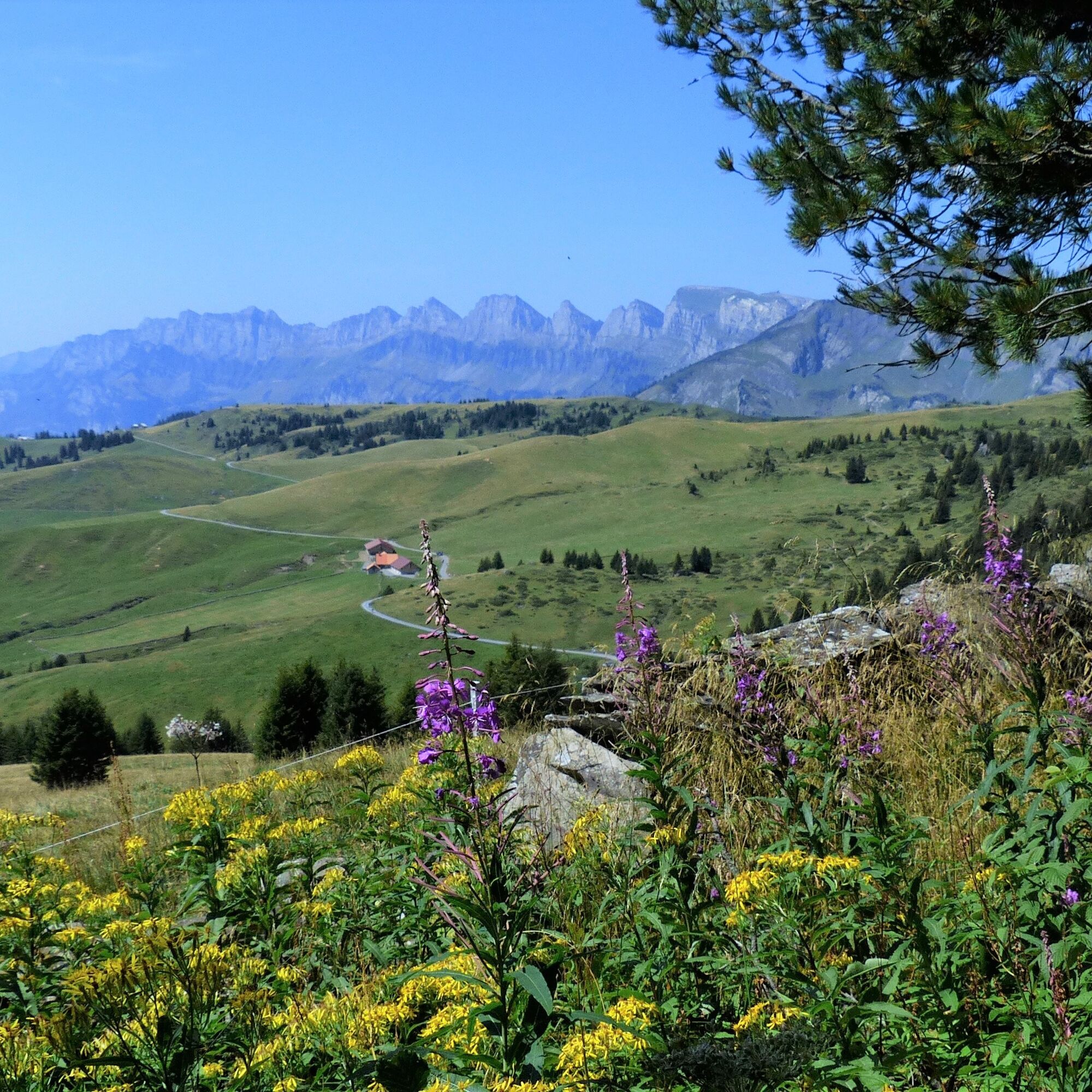
On this hike (starting at the mountain station), children also have their fun. It is varied and not strenuous. The trail leads over the Chamm, planted with Swiss stone pines, and then over the alpine pasture to the large parking lot. Shortly before the end of the hike, we encounter the Palfries mountain inn, where we can enjoy the wide view into the southernmost mountain world of the canton of St. Gallen and the Glarus Alps.

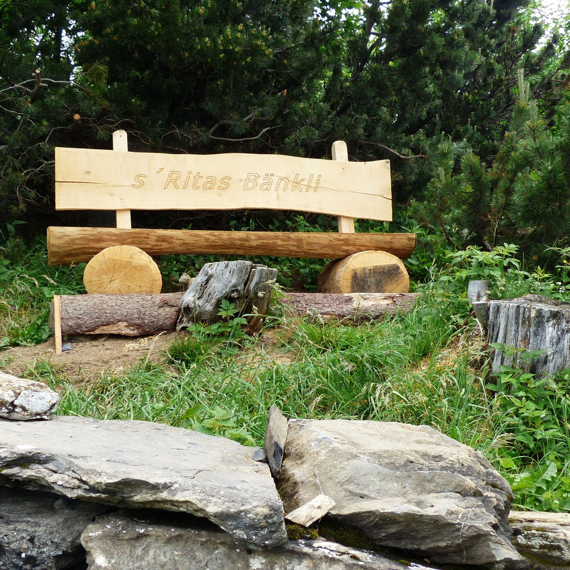

From the mountain station, we hike on the paved alpine road heading southeast to the parking lot on the Chamm. There we turn left through the fenced parking lot and along the distinctive border fence over the alpine pasture. At the top, there is a dry stone wall. We will follow this for a few meters to the north, and then you will find yourself in front of a recessed bench where the entrance is located. This path winds through the bright Swiss stone pine / Swiss pine forest. Initially, the trail ascends slightly and then leads gently through the remaining forest section. Soon, we reach the crosswise white-red-white marked mountain path that leads from the Wartau side over the Chamm to the Palfries plateau. There, we turn half-left and follow the mountain path marking over the alpine pasture. After about 500 m, the path turns half-left again, and shortly afterward, we reach the forest road that leads back to the starting point.
If you want to enjoy the alpine flora for another quarter of an hour, then do not turn off and continue the hike on the more or less level path until you reach the Alvier mountain path (2342 m above sea level). Here we head downhill, where we will arrive very quickly at the parking lot belonging to the Palfries mountain inn. The hiking time from here back to the starting point (Palfries mountain station) is about fifteen minutes.
Kyllä
Kyllä
Day hiking backpack (approx. 20 liters) with rain cover, sturdy and comfortable footwear, weather-appropriate and durable clothing in layers, if necessary telescopic poles, sun and rain protection, provisions and drinking water, first aid kit, pocket knife, mobile phone, if necessary headlamp, map material
Highway exit Flums, then on the main road towards Sargans/Mels. The valley station of the Palfries cable car is located in Heiligkreuz on the left side of the road. The Palfries cable car is signposted.
By train to Flums or Sargans, then by bus to the Heiligkreuz Ragnatsch stop. Ride with the Palfries cable car.
Public parking available at the valley station of the Palfries cable car (paid)
Palfries cable car
+41 81 599 43 79
(Reservation required)
Heidiland Tourism, Information office Bad Ragaz
+41 81 300 40 20
A walk over the ridge planted with many Swiss stone pines makes children's hearts beat faster. Enjoy the view from the Palfries mountain inn into the southernmost mountain scenery of the canton of St. Gallen and the Glarus Alps.
Suosittuja retkiä naapurustossa
-
4,7
Riviera Walensee Walenstadt - Quinten
mediumVaellus 10,4 km -
4,6
To the Alpspitz summit cross
valoVaellus 6,27 km -
4,6
Fürstensteig / Drei Schwestern
mediumVaellus 12,2 km -
4,5
Fürstin-Gina-Weg
mediumVaellus 12,0 km -
4,8
From Malbun to the Schönberg
mediumVaellus 12,4 km -
4,6
Wanderung Malbun - Sass-Seeli - Sassförkle - Drei Kapuziner - Schönberg - und Talstation Täli wieder zurück nach Malbun
mediumVaellus 10,8 km -
3,7
Sassweg - von Malbun zum Sass-Seelein
Vaellus 4,14 km -
4,6
5-Seen Wanderung am Pizol
valoVaellus 10,1 km -
4,7
Alvier
mediumVaellus 3,33 km -
4,7
Pizol - Batöni - Weisstannen
raskasVaellus 11,7 km
Vaellus & jäljitys


Älä jää paitsi tarjouksista ja inspiraatiosta seuraavaa lomaasi varten.
Sähköpostiosoitteesi on lisätty postituslistalle.