


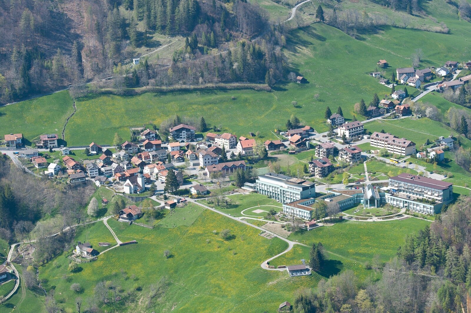
Valens - Muntaluna


Via the Alp Findels, you reach the Vättnerberg with its enchanting alpine flower splendor. From Muntaluna, the hiker is offered a fantastic panoramic view to Lake Constance. The Calanda massif and the...
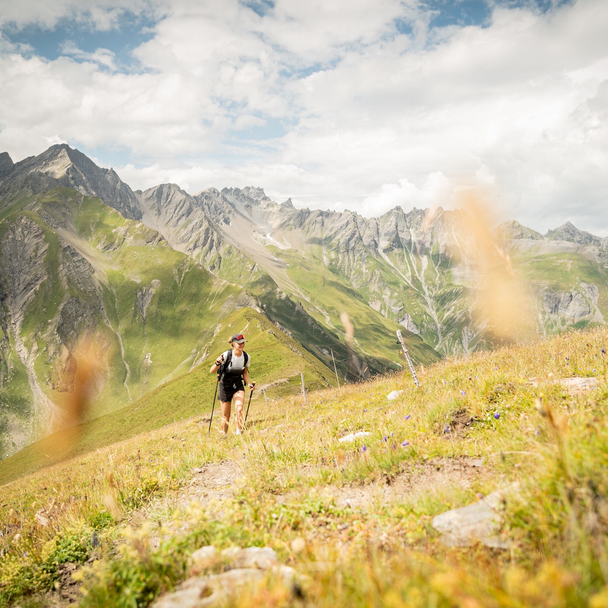
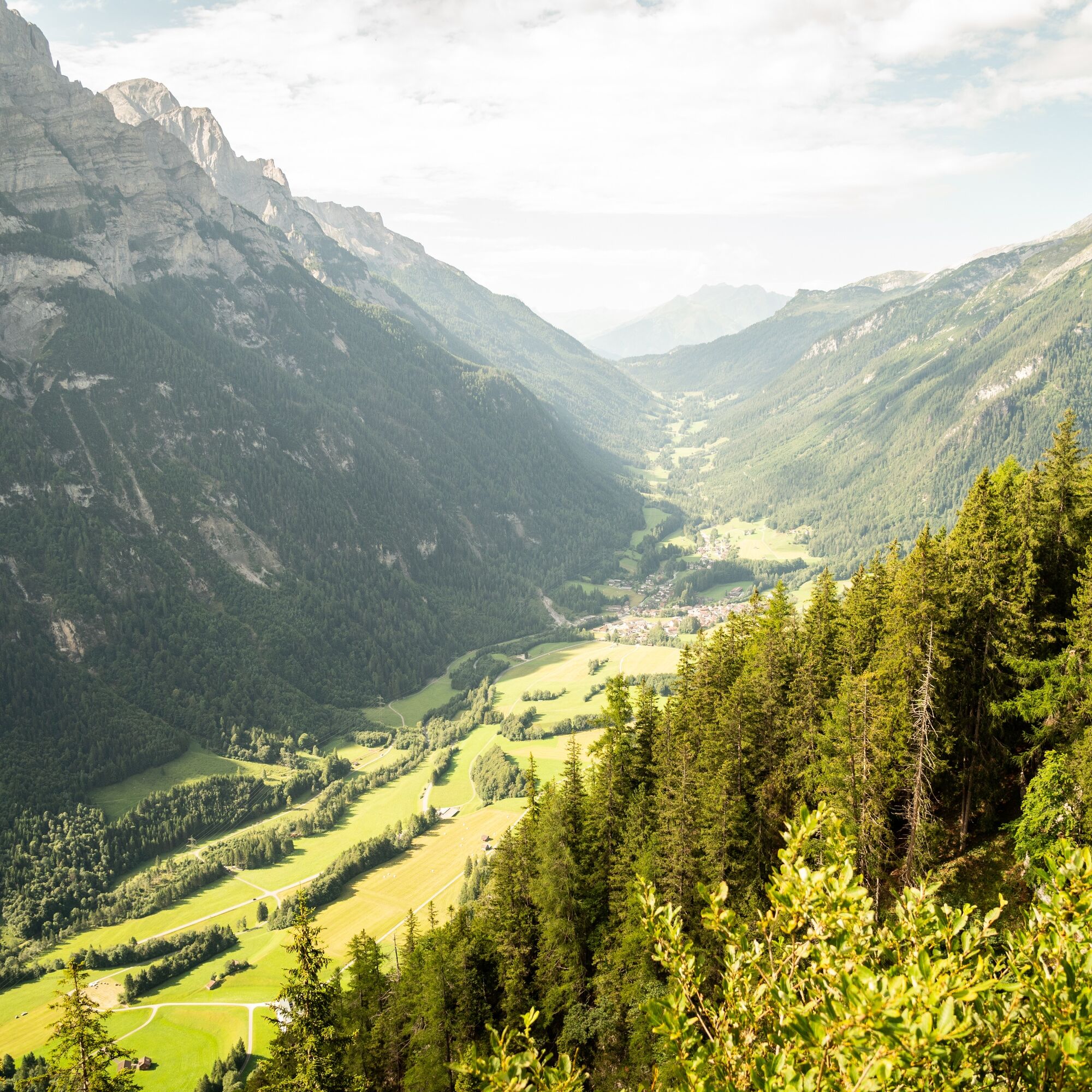
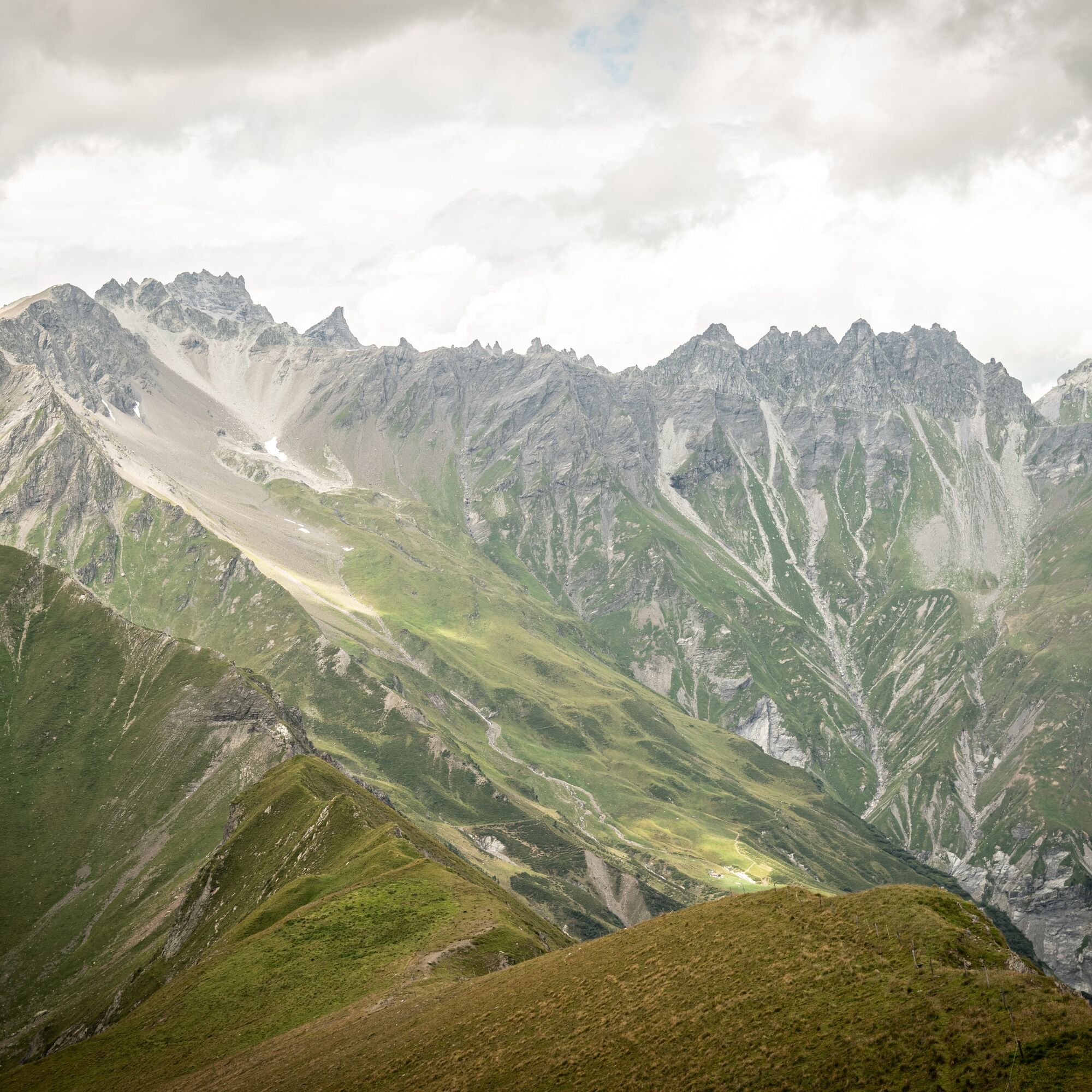
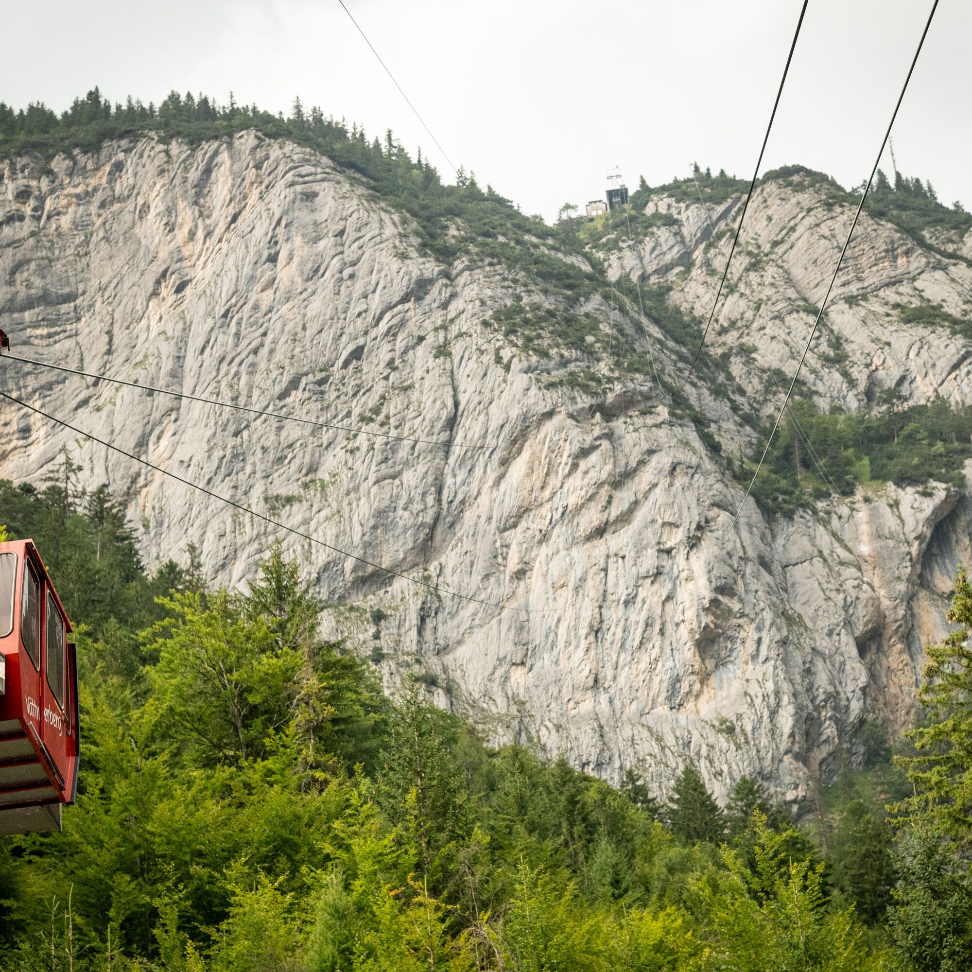
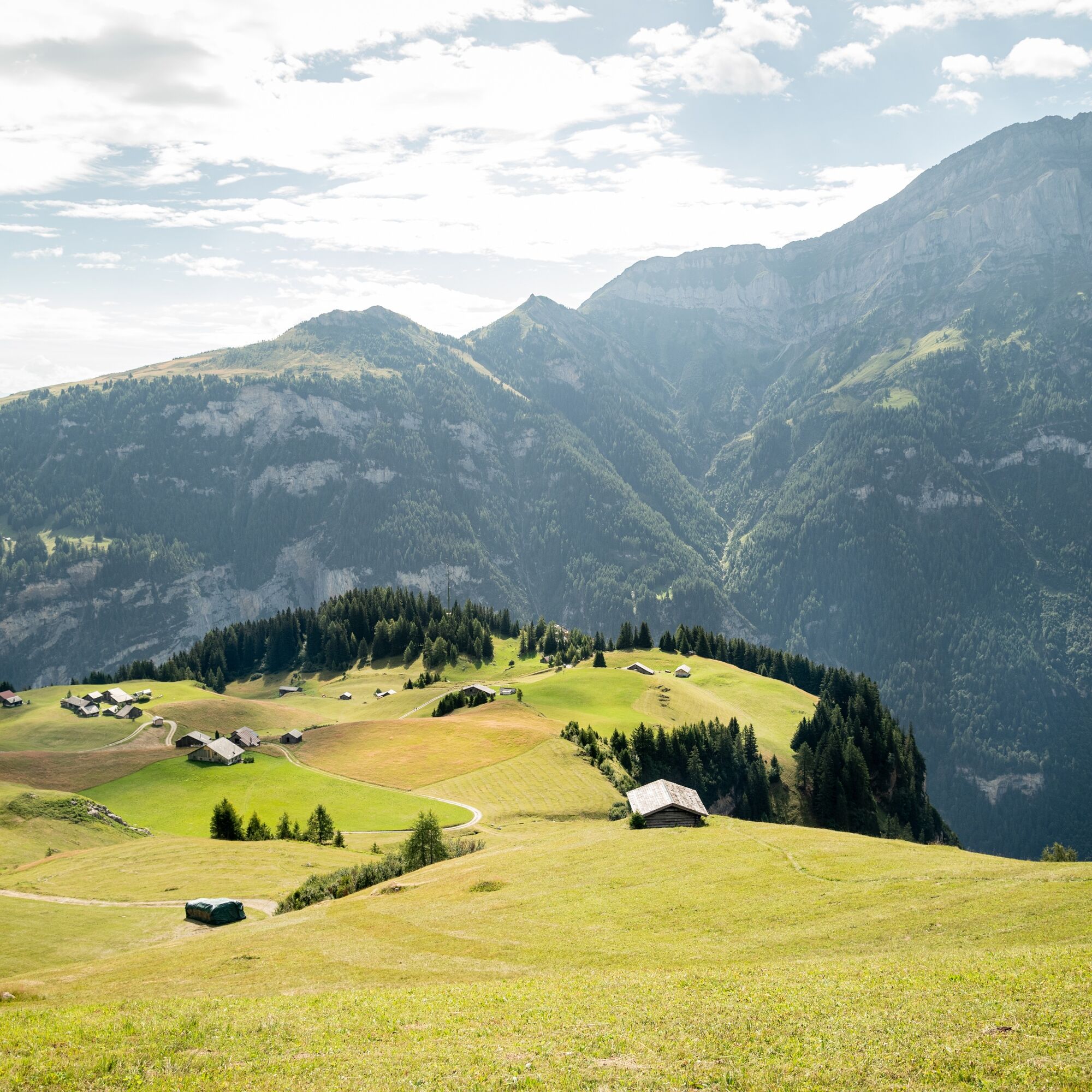
Via the Alp Findels, you reach the Vättnerberg with its enchanting alpine flower splendor. From Muntaluna, the hiker is offered a fantastic panoramic view to Lake Constance. The Calanda massif and the Ringelgebirge to the southeast seem within reach. The arduous ascent has been more than worthwhile with these impressive views.

Valens – Vasön – Ruhboden – Findels – Tritt – Rindersäss – Muntaluna– Rindersäss – Tritt – Findels – Ruhboden – Winkel – Wiesli – Tschenner– Valens
Kyllä
Good hiking gear, very sturdy shoes.
Depending on the weather, some places can be very slippery.
Motorway exit Bad Ragaz, then on the mountain road towards Pfäfers/Valens to the junction and then drive to Valens.
By train to Bad Ragaz, then by postbus to Valens.
Parking spaces can be found at the clinic.
Heidiland Tourism, Bad Ragaz information center
T +41 81 300 40 20
www.heidiland.com
After the hike, you can make a detour to the thermal pool at the Valens clinic.
Kiertueen webbikamerat
Suosittuja retkiä naapurustossa
-
4,8
Pizalun circular route
valoVaellus 7,18 km -
4,6
5-Seen Wanderung am Pizol
valoVaellus 10,1 km -
4,7
Pizol - Batöni - Weisstannen
raskasVaellus 11,7 km -
Lake Chapfen round trip
valoVaellus 4,27 km -
4,5
Off to the Falknis
raskasVaellus 18,2 km -
5,0
Circular hike Bettlerweg & 2-Lakes Hike Pizol
mediumVaellus 11,4 km -
Vilan round tour
raskasVaellus 12,2 km -
4,5
Pizol summit tour
mediumVaellus 9,28 km -
4,5
Bad Ragatz mit Taminaschlucht nach Pfäffers
mediumVaellus 16,3 km -
5,0
Maienfeld-Fläsch Wine Route
valoVaellus 12,3 km
Vaellus & jäljitys


Älä jää paitsi tarjouksista ja inspiraatiosta seuraavaa lomaasi varten.
Sähköpostiosoitteesi on lisätty postituslistalle.