


GRAND TOUR of the Turin Beyond Hill in 4 stages.
Vaikeustaso: 3


The tour is proposed in 4 stages, but there are many possibilities to subdivide it according to one's preferences, as well as one can choose the starting and ending point.
There are also some train stations...
The tour is proposed in 4 stages, but there are many possibilities to subdivide it according to one's preferences, as well as one can choose the starting and ending point.
There are also some train stations along the route, which are useful for those who want to travel it only partially.
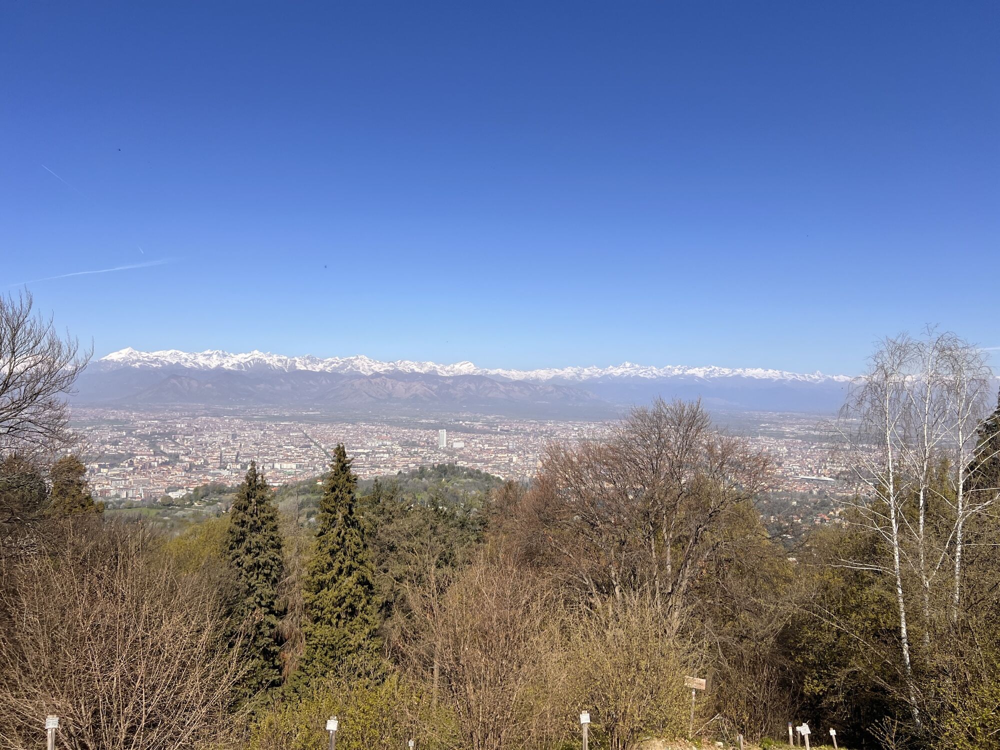
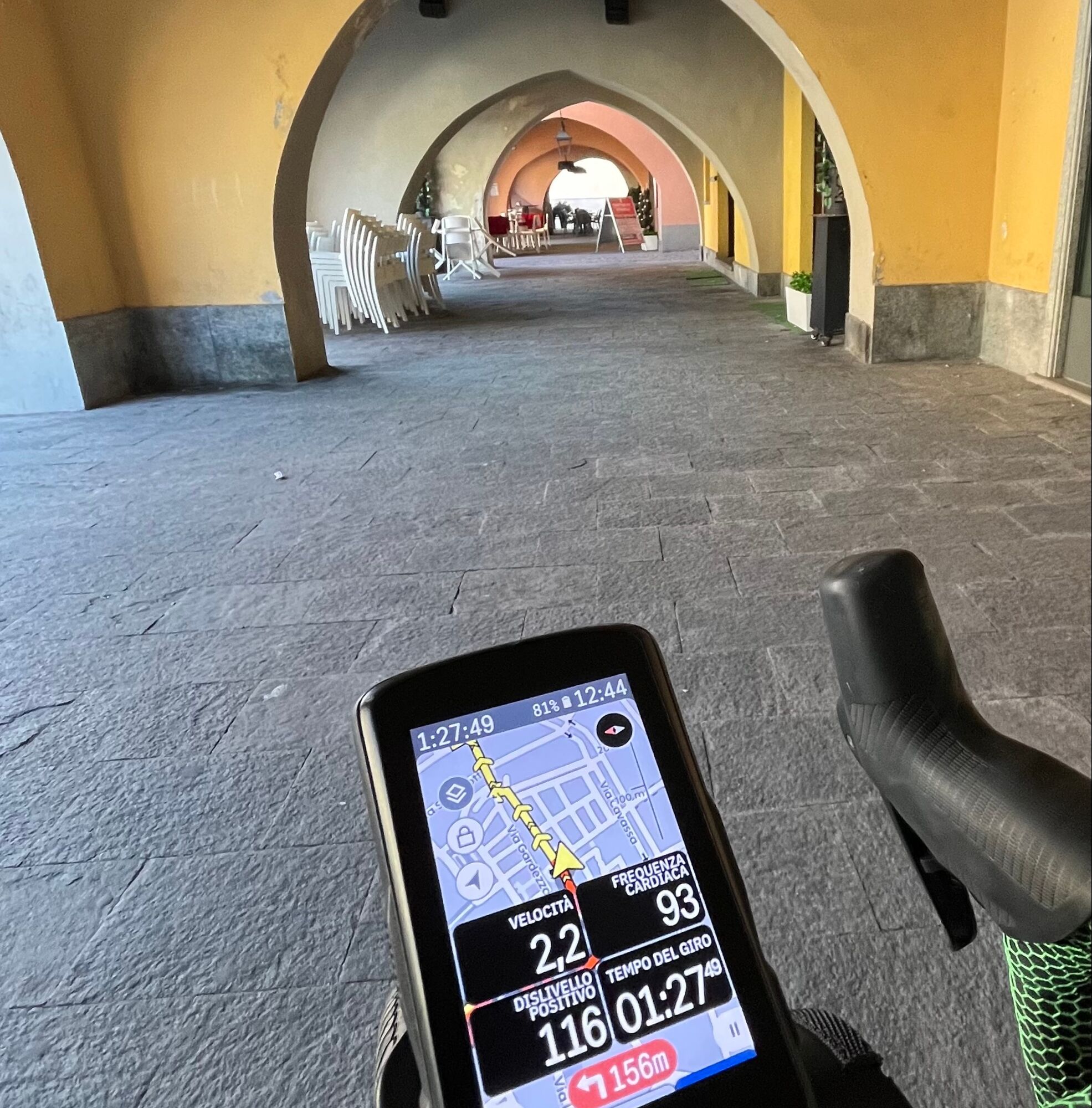
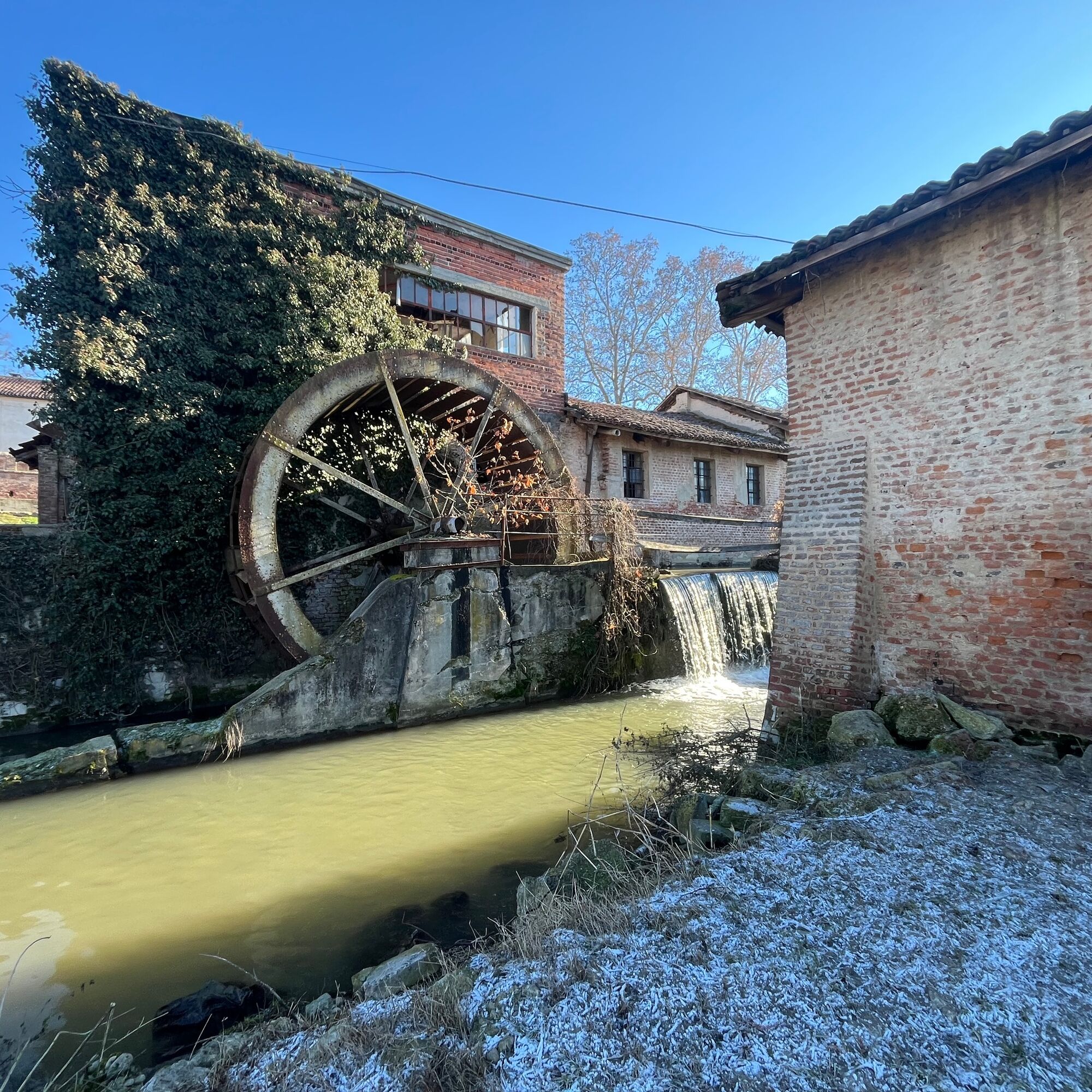
Starting from Pralormo (TO), the first 2 stages traverse the hills south of Torino, with a significant elevation gain in the second stage. (1500m d+). From Torino we return south with 2 completely flat stages, mostly in the Po Torinese River Park and in rural areas of the Chierese and Carmagnolese Food District.

PRALORMO - By car, from downtown Torino enter the ring road at Moncalieri and proceed southbound (Torino-Savona) to the Santena exit. Continue past Santena and Poirino on SR29 to Pralormo.
The loop can be walked starting from any pontoon on the track provided.
Kyllä
Kyllä
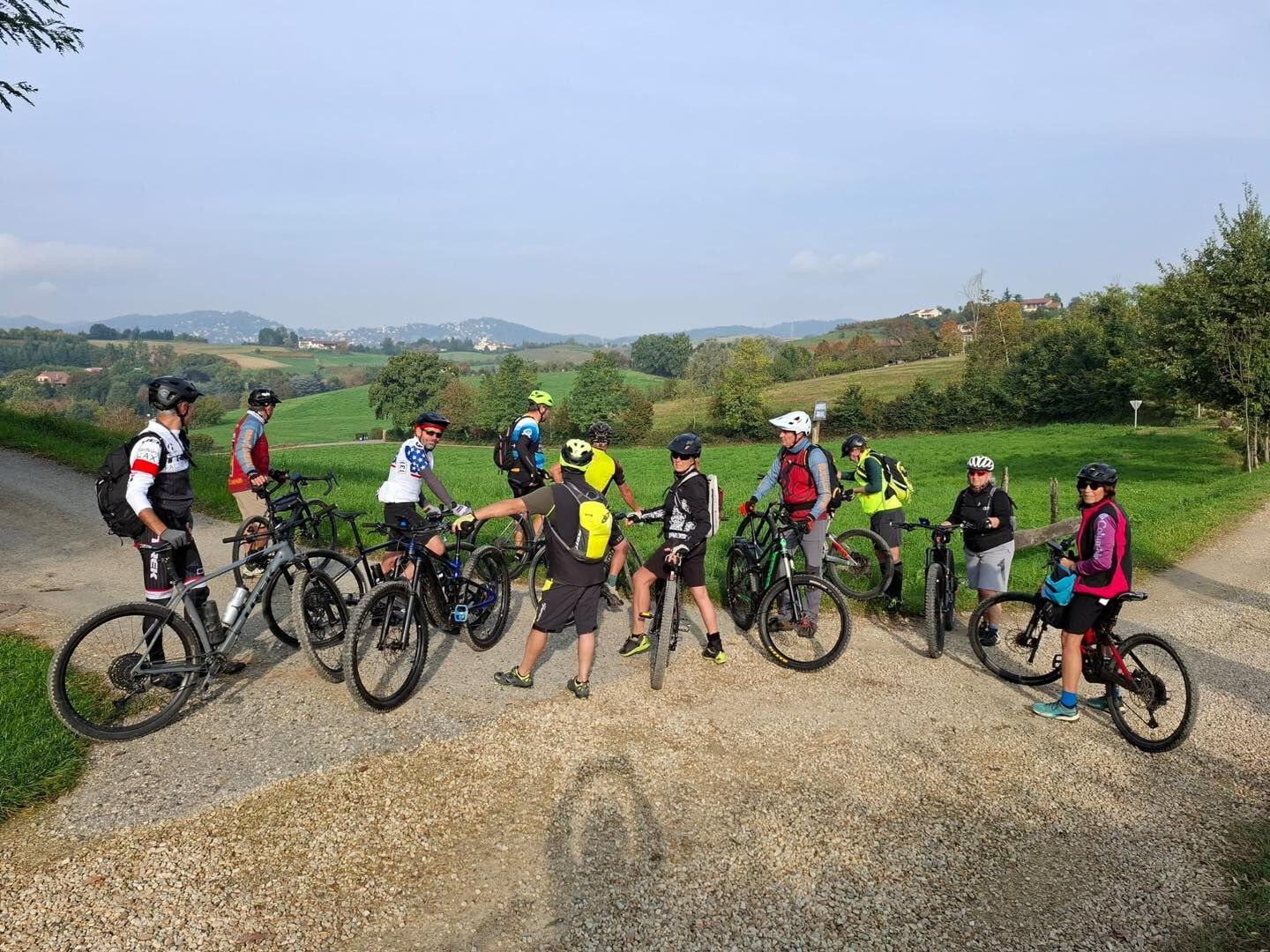
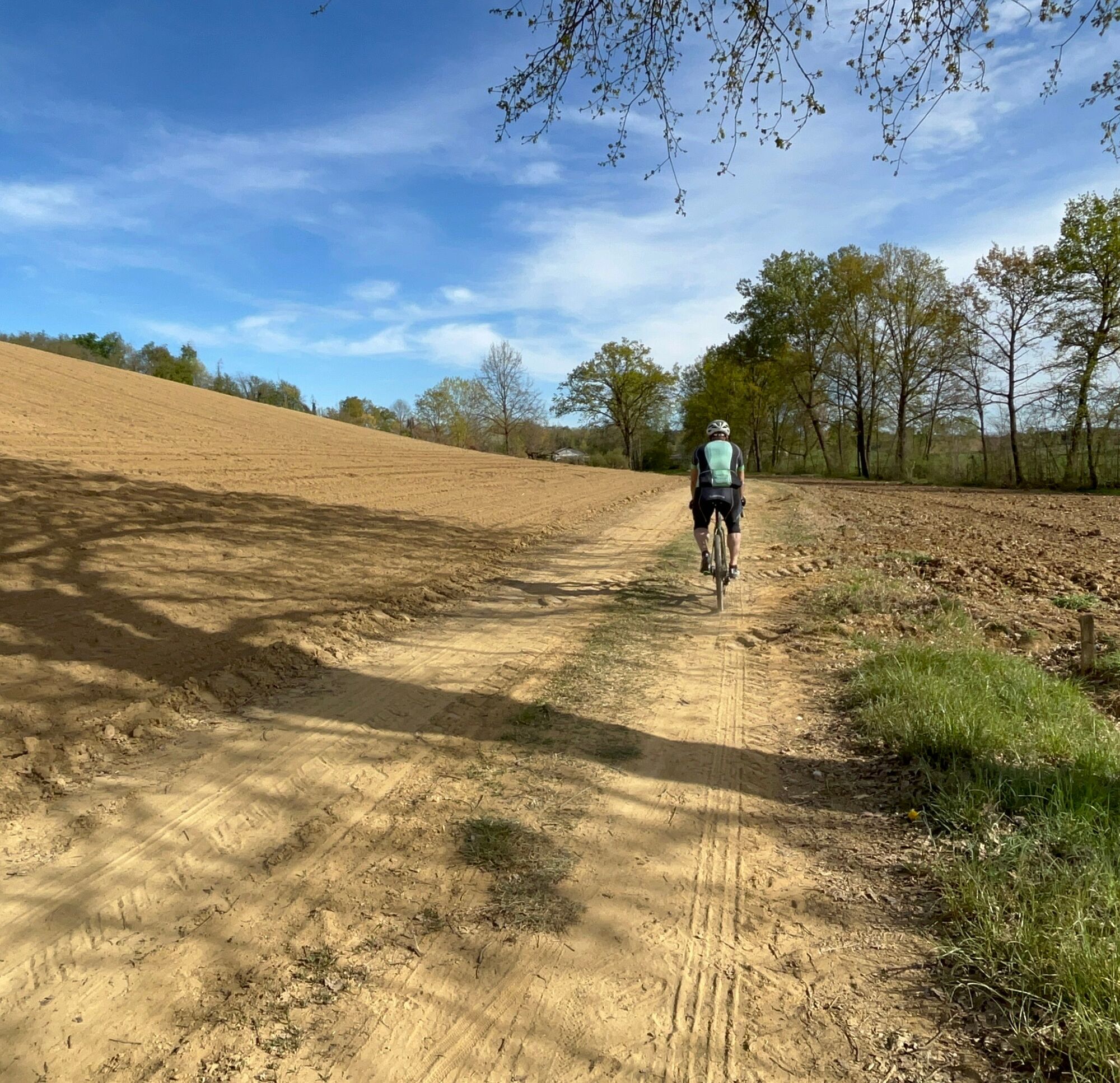
Bicycle suitable for gravel trails, with tires with a minimum section of 40mm. Cross country MTBs or E-MTBs are also suitable
Take extra care when crossing and traversing provincial roads and urban centers. The practicability of crossings on dirt roads, sheep-tracks and paths depends on the weather conditions of the days on which you tackle the route and those of the previous days
3
Challenging itinerary with a muscle bike, but with no particular riding difficulties, therefore much easier with a pedal-assisted vehicle.
Taking the tour during one or more of the area's food festivals, which can be found on the Food District website, can greatly enrich the experience. In any case, stops at local restaurants are also recommended.
The practicability of passages on dirt roads, sheep-tracks and paths depends on the weather conditions of the days on which the itinerary is undertaken and those of the previous days
Suosittuja retkiä naapurustossa
-
ANDEZENO - Panoramic loop towards Pino Torinese
mediumPyöräily 35,0 km -
Cycling between Arignano, Moriondo and Mombello
mediumPitkän matkan pyörätie 28,1 km -
CAMBIANO towards Riva presso Chieri
valoPyöräily 22,8 km -
CHIERI - Loop around the surroundings
mediumPyöräily 24,4 km -
Cycloexcursion ride around Chieri (TO)
mediumMaastopyörä 25,6 km -
Cycle hiking ride between Montaldo, Andezeno and Pavarolo
mediumMaastopyörä 21,2 km -
CHIERI - Loop towards Pavarolo, Montaldo T.se and Andezeno
mediumPyöräily 32,9 km -
CHIERI - Anello verso Riva presso Chieri
Pyöräily 32,5 km -
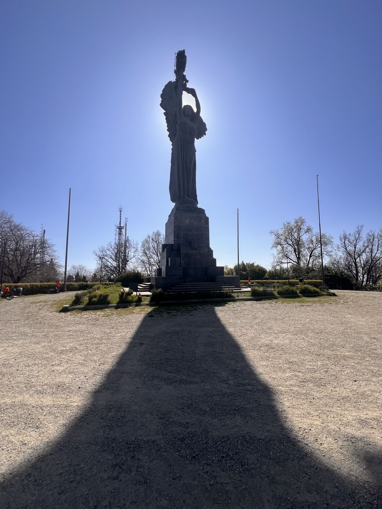
TURIN - The tour of the Turin hills on the "panoramic road"
mediumMaantiepyörä 36,7 km -
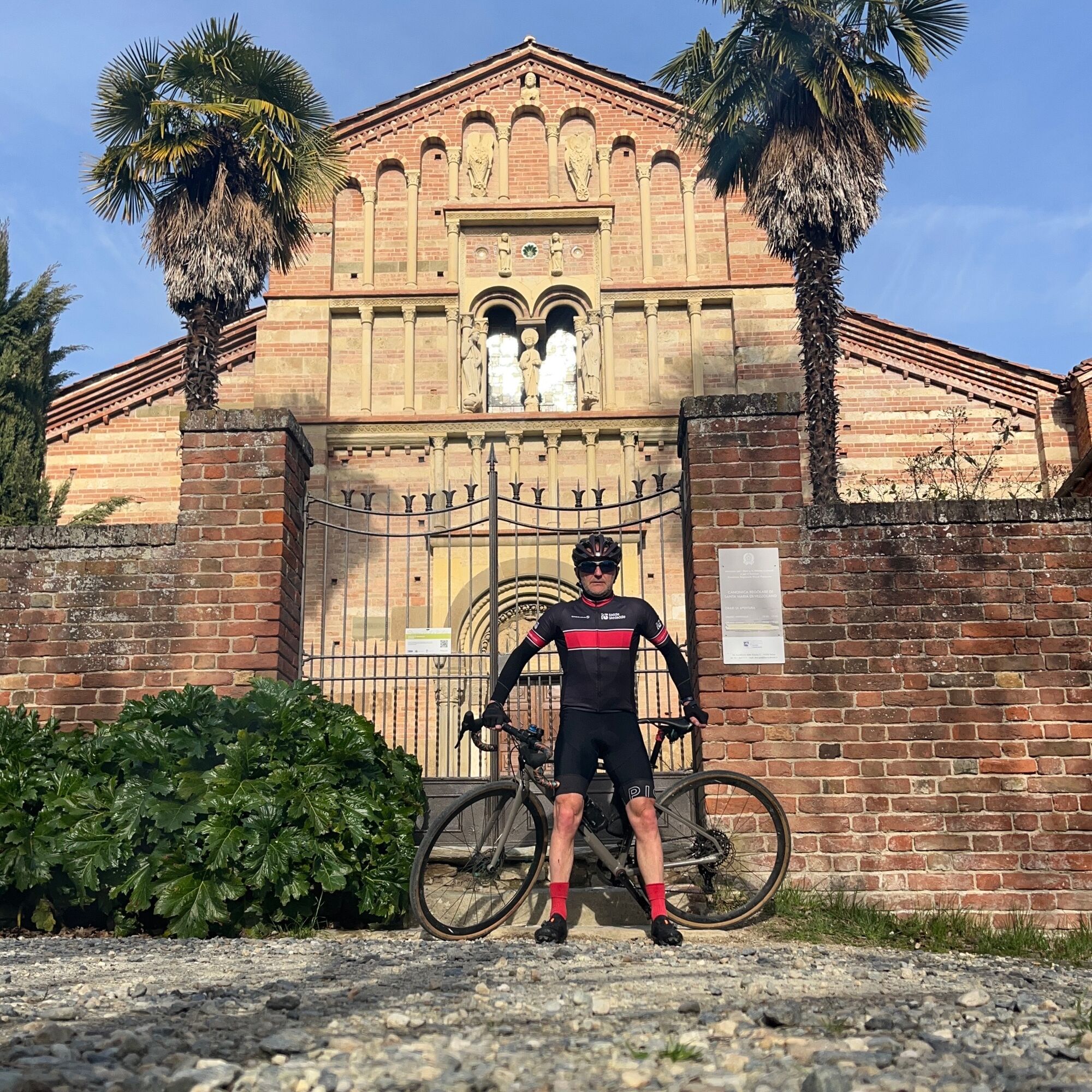
CHIERI - Among vineyards, hills and history towards the Abbey of Vezzolano
mediumMaantiepyörä 58,6 km
Vaellus & jäljitys


Älä jää paitsi tarjouksista ja inspiraatiosta seuraavaa lomaasi varten.
Sähköpostiosoitteesi on lisätty postituslistalle.