


Via Francigena of Sigeric | Stage 3 Viverone-Santhià


The first village we encounter is Roppolo, dominated by the bulk of its Castle, from which you can enjoy a beautiful view of the morainic amphitheater of Ivrea and Lake Viverone. The route to Cavaglià...
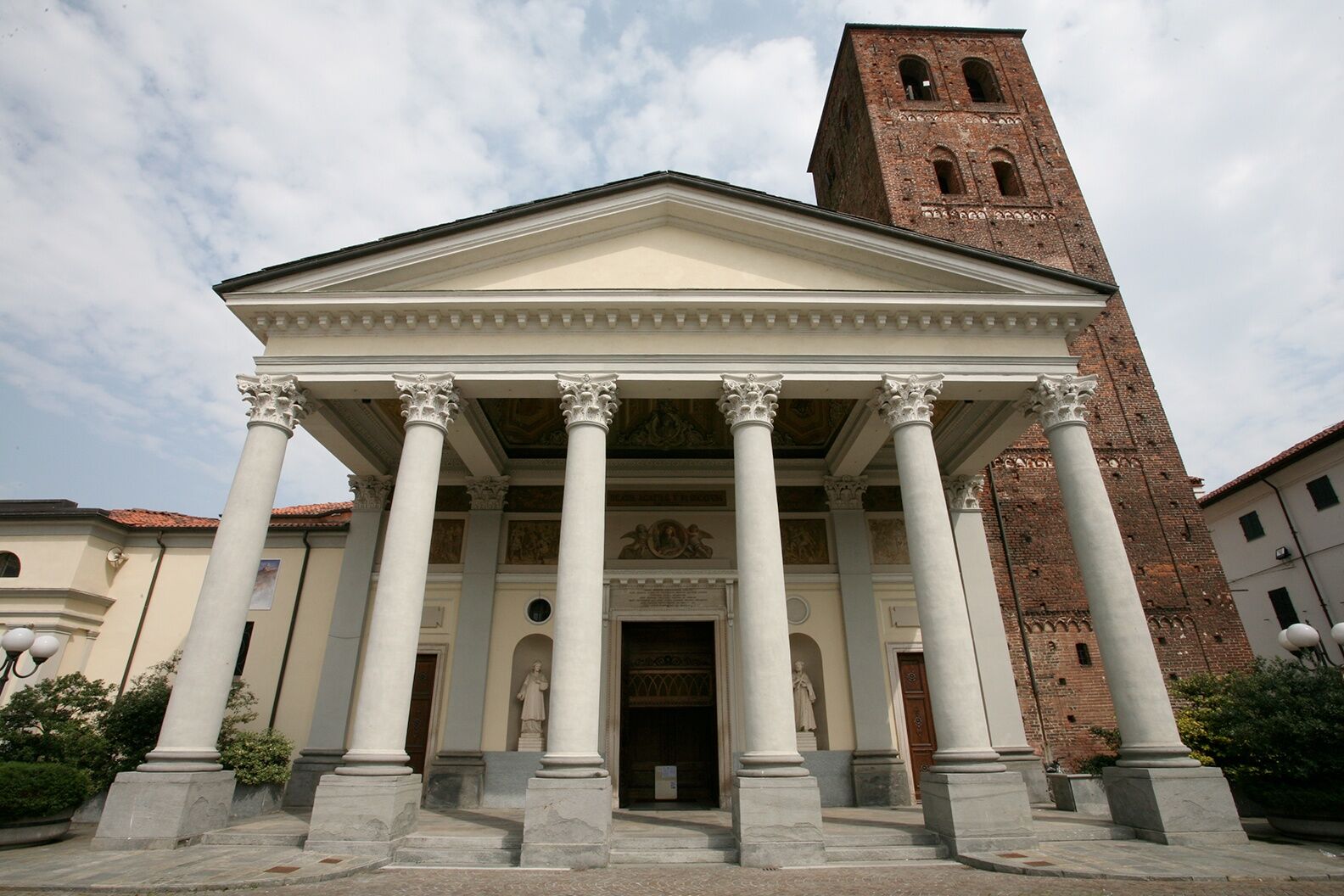
The first village we encounter is Roppolo, dominated by the bulk of its Castle, from which you can enjoy a beautiful view of the morainic amphitheater of Ivrea and Lake Viverone. The route to Cavaglià takes place on country roads, and after the village, we can visit the Sanctuary of Our Lady of Babylon and reach Santhià along peaceful country roads.
Refreshment points and water are available in Roppolo and Cavaglià.

It is possible to stamp your credential at the Viverone and Roppolo town halls, with a special stamp created by local elementary school children, thanks to the collaboration between the Semi di Serra Association and the Slow Movement.
Suosittuja retkiä naapurustossa
-
MAZZE' Anello Lago di Candia e Castello di Masino
mediumPyöräily 44,8 km -
IVREA Anello Ivrea - Viverone
mediumPitkän matkan pyörätie 52,4 km -
3,0
Via Francigena Etappe 5
mediumVaellus 36,7 km -
MAZZE' Anello Mazzè - Strambino
mediumPitkän matkan pyörätie 41,3 km -
Ring of the Ancient Balteo Glacier (stage 4)
mediumPitkän matkan pyörätie 51,0 km -
Alta Via dell'Anfiteatro Morenico di Ivrea: Tappa 2 Lago di Bertignano - Castello di Masino
mediumVaellus 18,5 km -
Cammino di Oropa della Serra
mediumPyhiinvaellusreitti 62,9 km -
Alta Via dell'Anfiteatro Morenico di Ivrea: Tappa 1 Andrate - Lago di Bertignano
mediumVaellus 22,0 km -
St. Charles's Way
raskasPyhiinvaellusreitti 21,2 km -
Alta Via dell'Anfiteatro Morenico di Ivrea: Tappa 3 Castello di Masino - Castellazzo
mediumVaellus 28,0 km
Vaellus & jäljitys


Älä jää paitsi tarjouksista ja inspiraatiosta seuraavaa lomaasi varten.
Sähköpostiosoitteesi on lisätty postituslistalle.