


"Zur Platte" circular route - Exdorf - Grabfeld


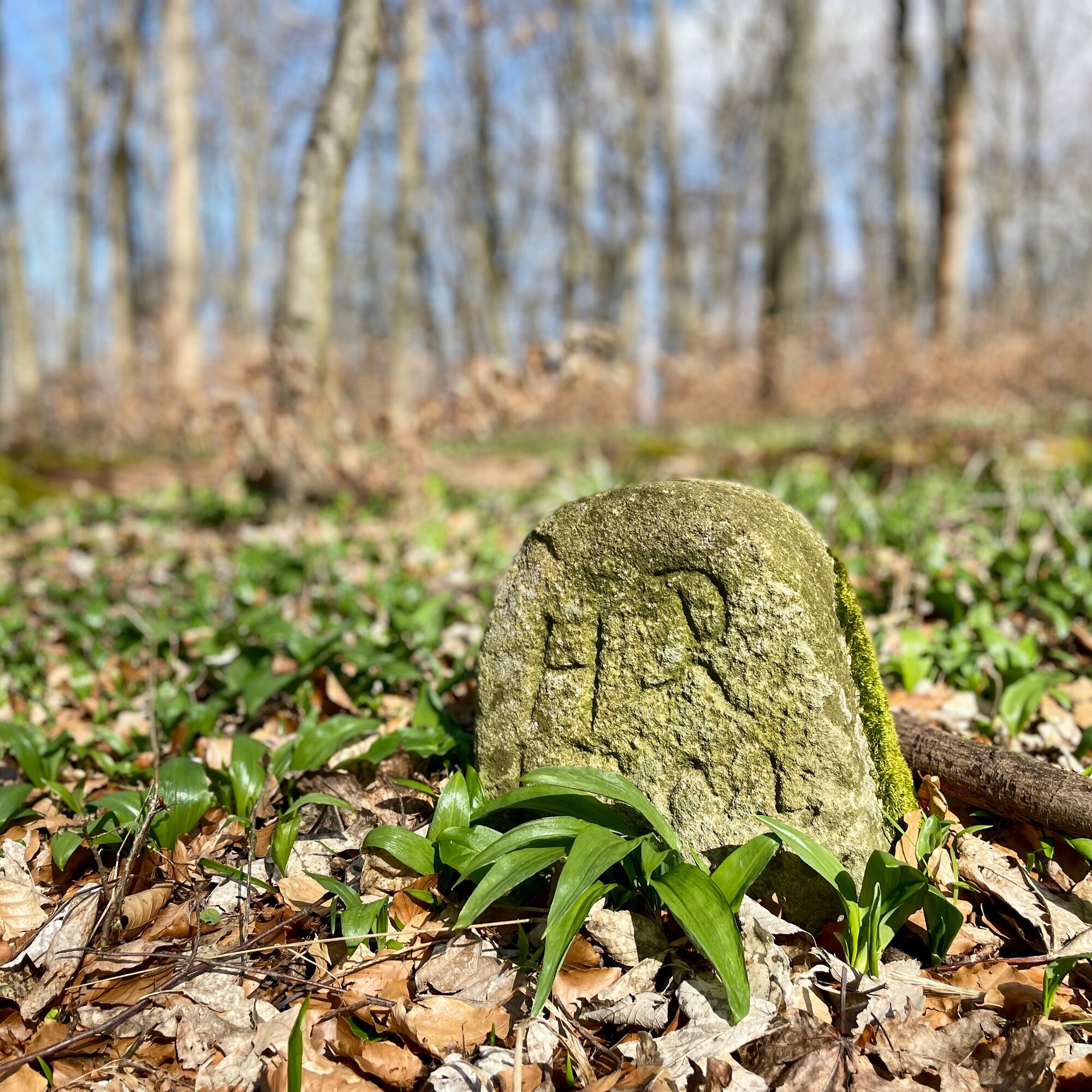
The hunting stones on the Schwarzer Stock were erected in 1570 as historical boundary stones between Henneberg and Saxony in the context of hunting disputes. With a total of 38 stones in an 11 km radius,...
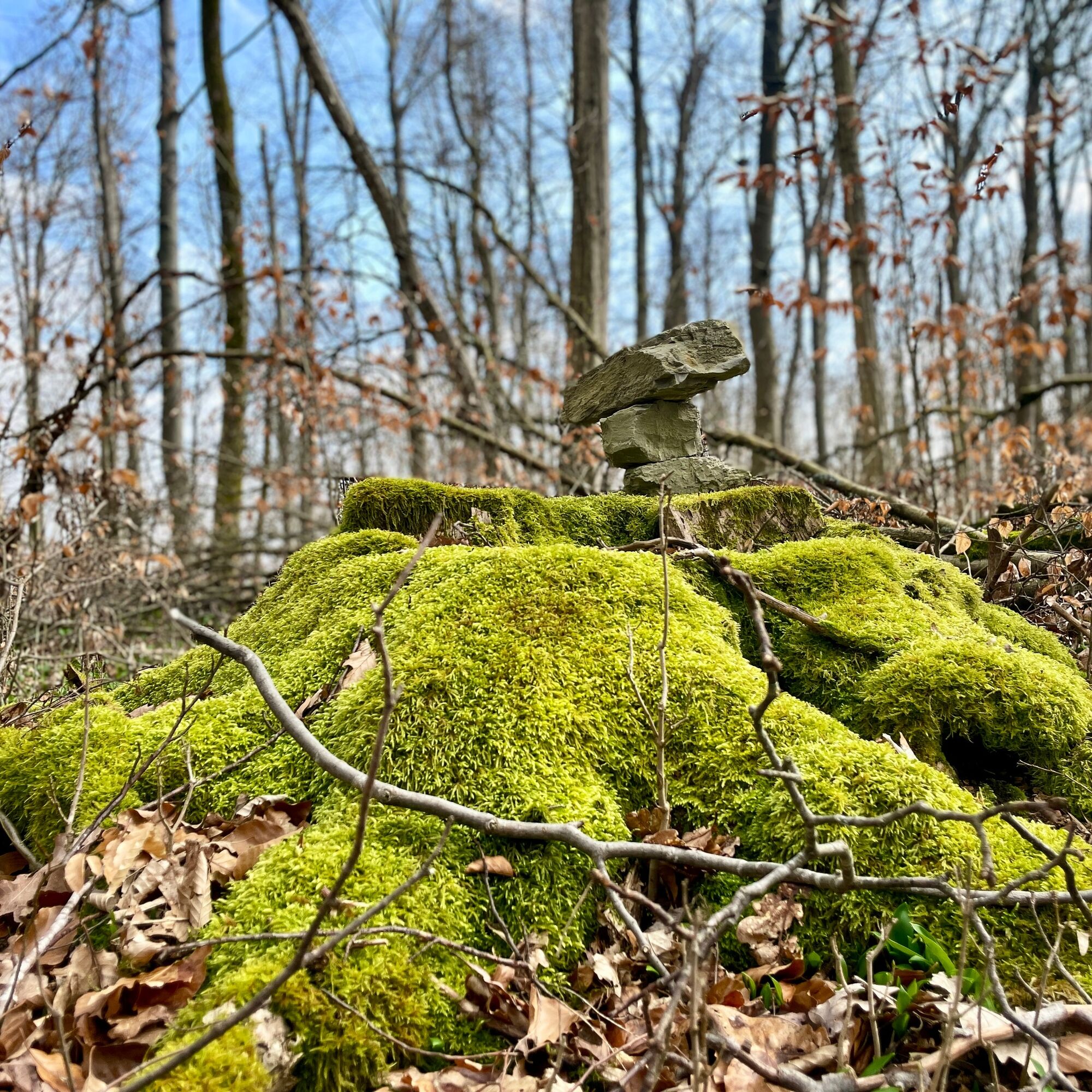
The hunting stones on the Schwarzer Stock were erected in 1570 as historical boundary stones between Henneberg and Saxony in the context of hunting disputes. With a total of 38 stones in an 11 km radius, they document the territories of Römhild and Henneberg. The symbols on the stones, in particular the hunting horn, emphasise the exact location along the hunting border and bear witness to the importance of these border markers for the region. They were officially listed in 1997 and the hunting stones are still silent witnesses to a rich past.

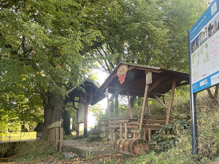

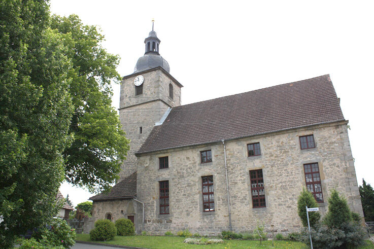
Die Wanderung beginnt an der Kirche in Exdorf. Von dort aus geht es die Kirchgasse entlang zur Brunnenstube "an den 3 Linden". Dort gibt es eine schöne Raststätte mit einem überdachten Bereich.
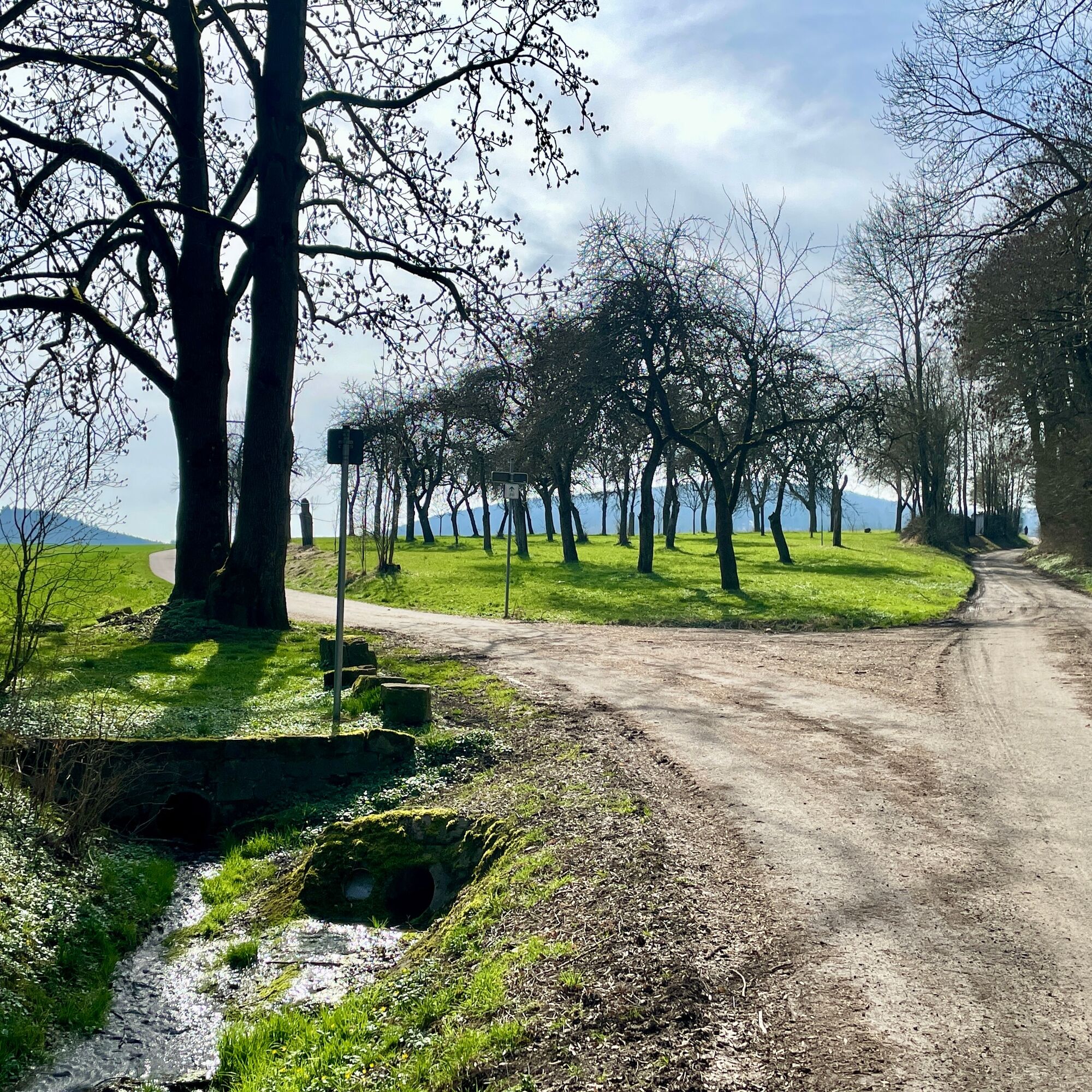
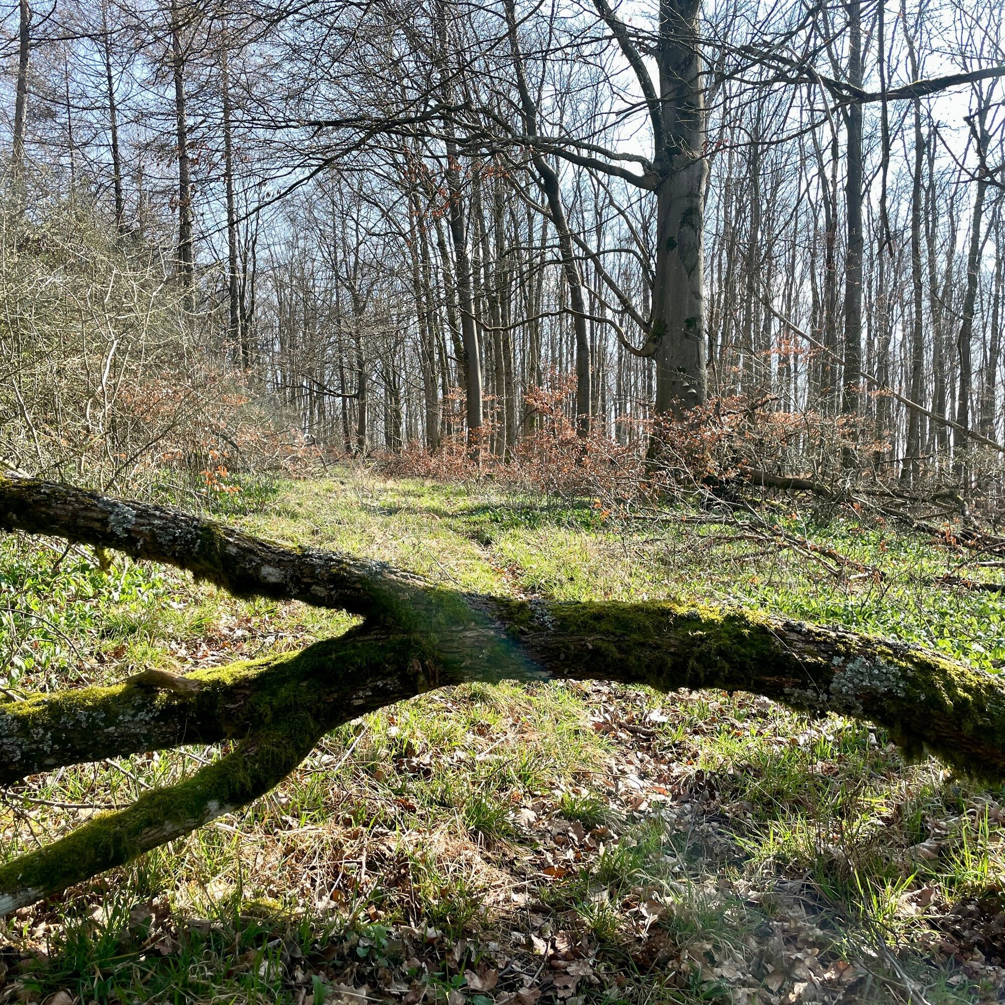
Links an der Brunnenstube vorbei führt die asphaltierte Grabfeld Radroute, die immer geradeaus über die Felder in Richtung Gleichberge und Haina führt. Nach etwa 3 Kilometern biegen wir rechts ab und gehen in den Wald. Hier können wir die Jagdsteine entdecken. Wir gehen weiter Richtung Platte, immer geradeaus.
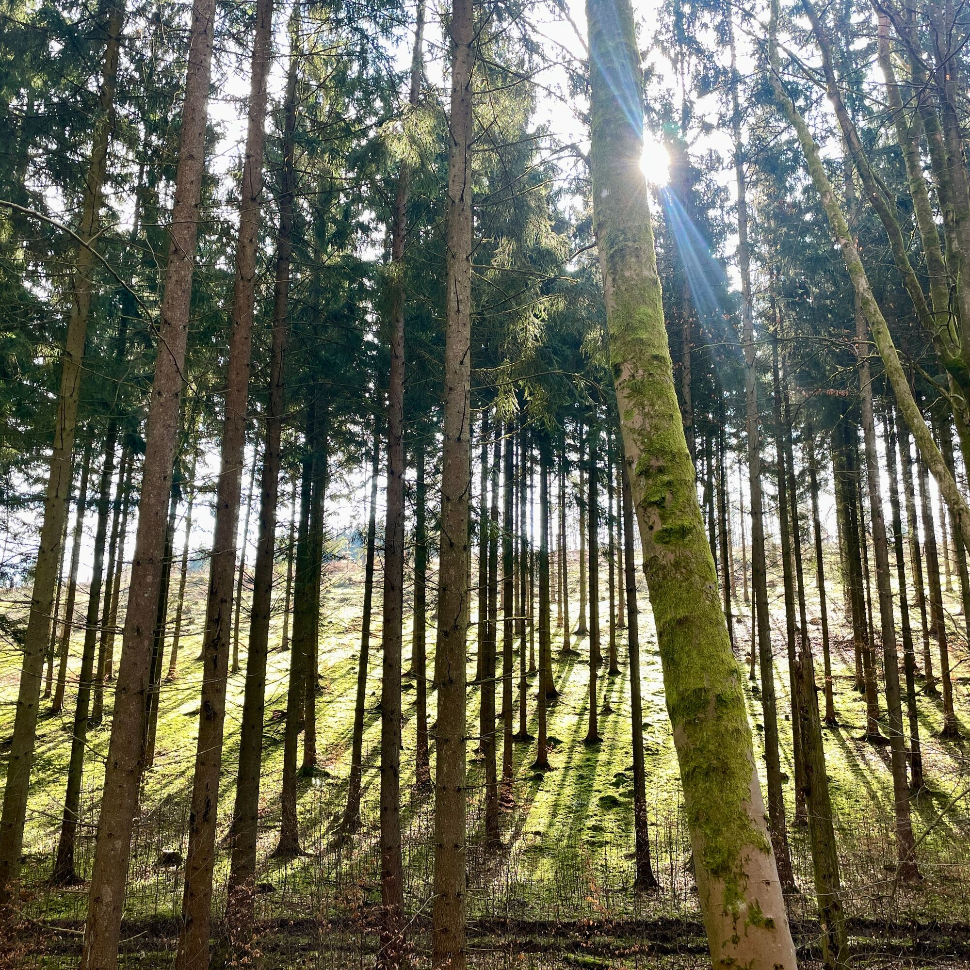
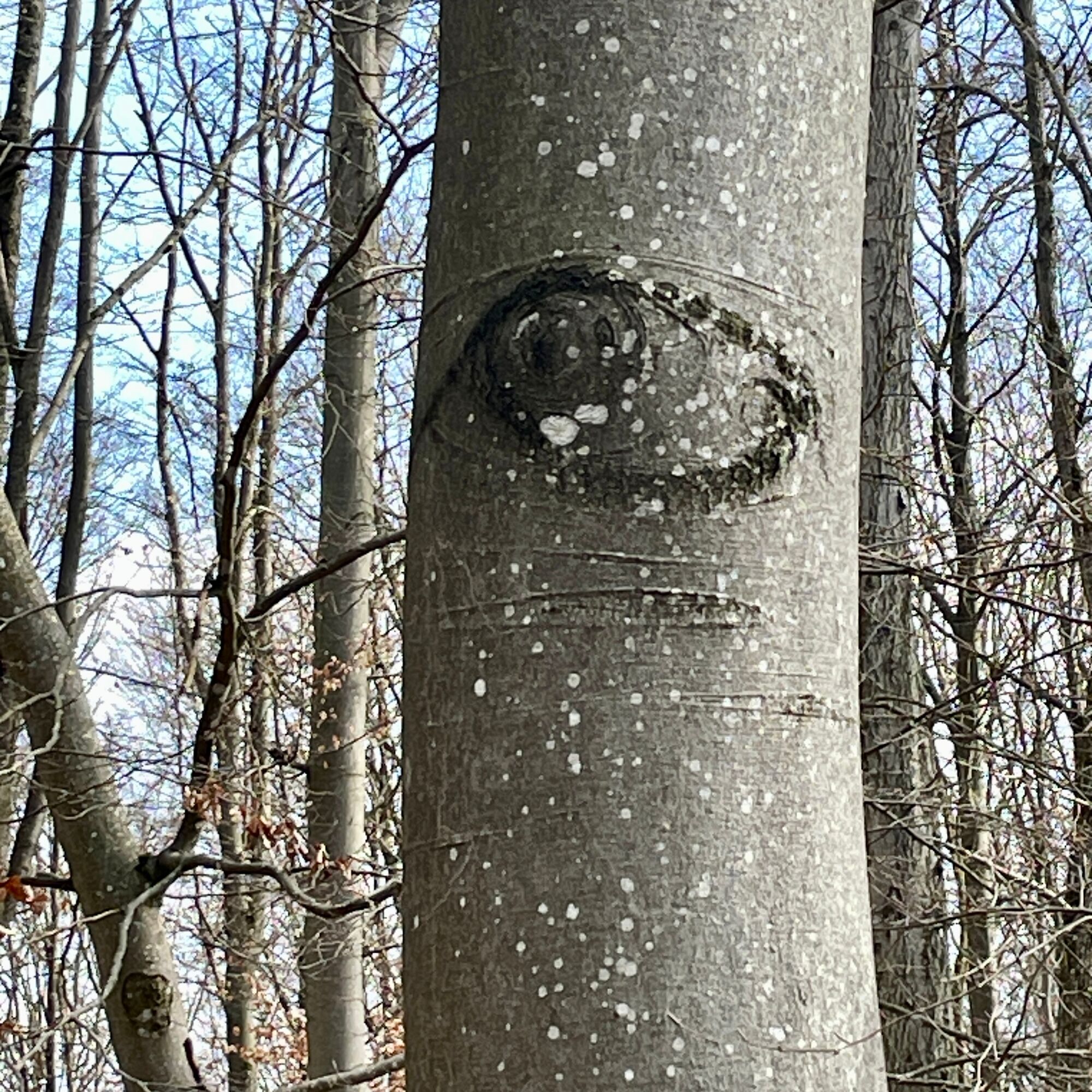
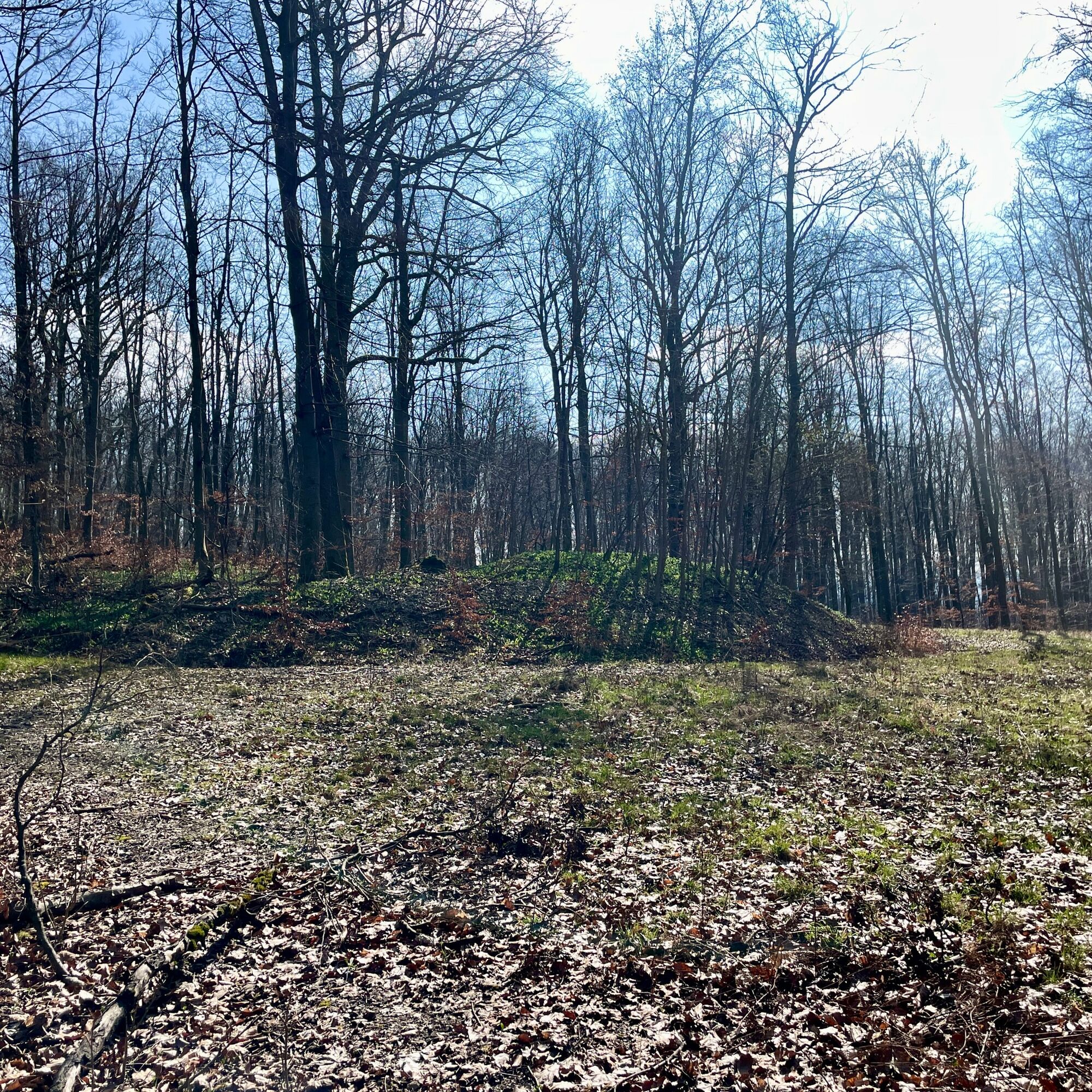
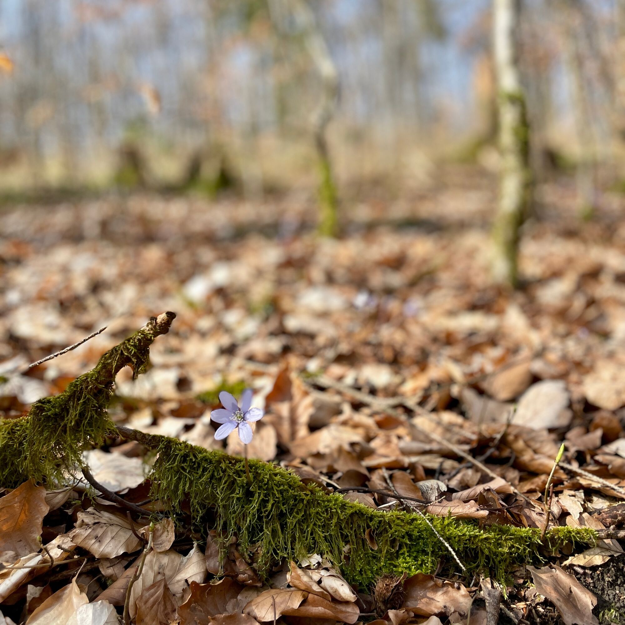
Entlang des Waldrands entdecken wir unter Moos bewachsene Jagdsteine. Auf dem Weg bergauf gibt es weitere zu sehen. Wir kommen zum "Wolfenfeld", wo es einen kleinen freien Platz gibt. Dort gehen wir weiter geradeaus und entdecken weitere Jagdsteine und zauberhaft mit Moos bewachsene Bäume.
Am "Höckenweg" finden wir eine Tafel über die Jagdsteine, unter der sich weitere Steine verstecken. Am "Kopfstein" treffen wir auf die Wanderrundtour der 4 auf gelbem Grund vom "Roland Werner Gedächtnisweg", die sich mit der Route der 6 auf gelbem Kreis vereint.
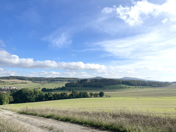
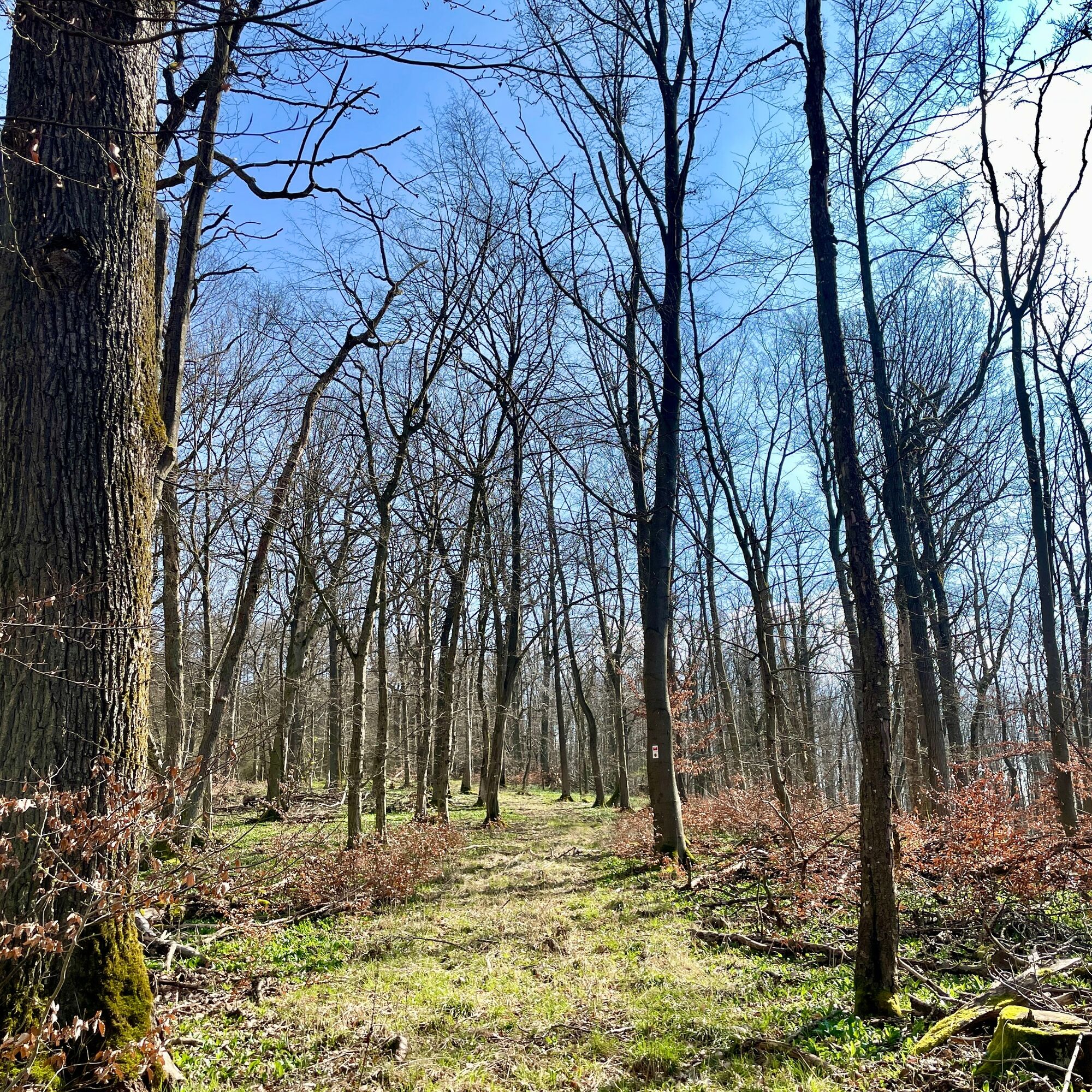
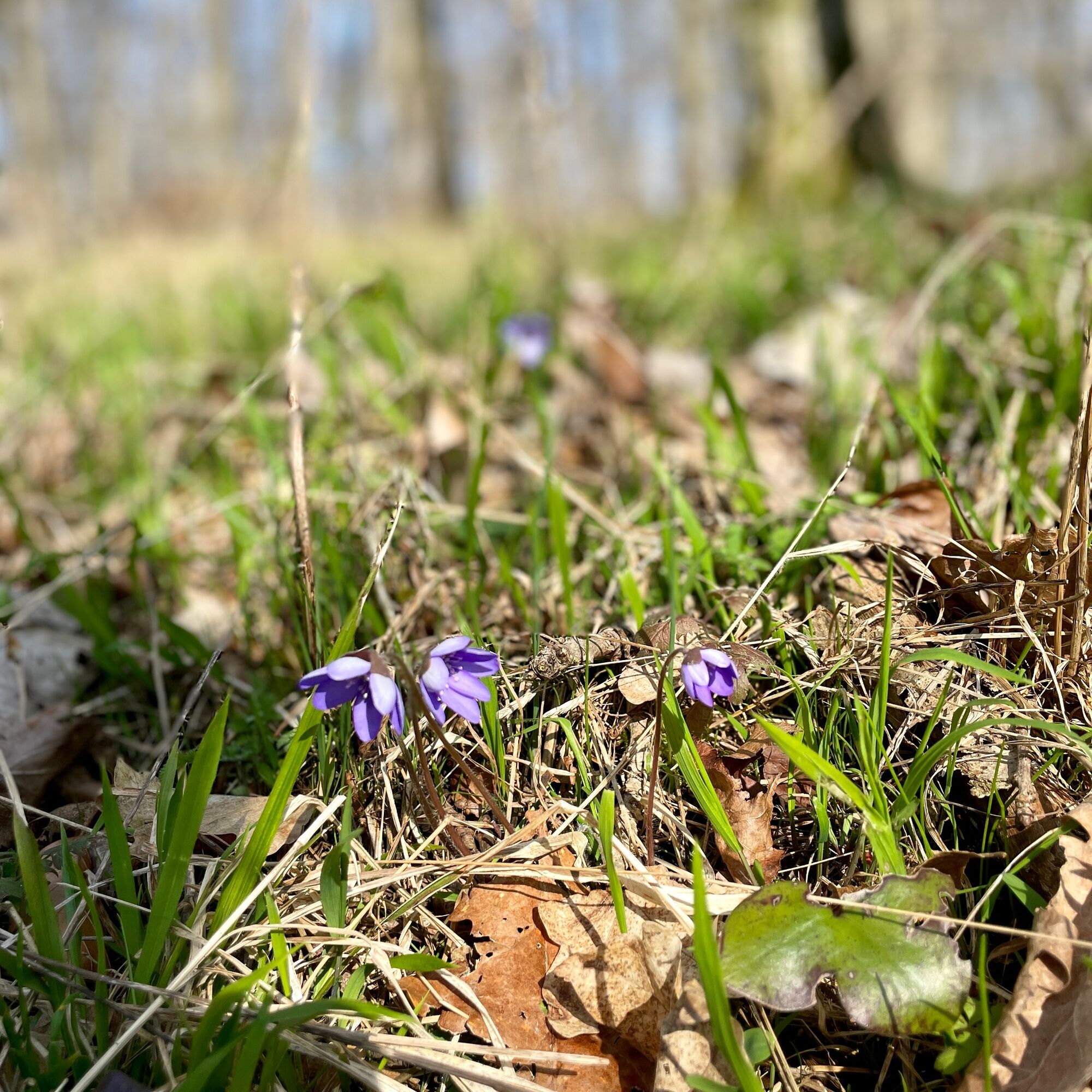
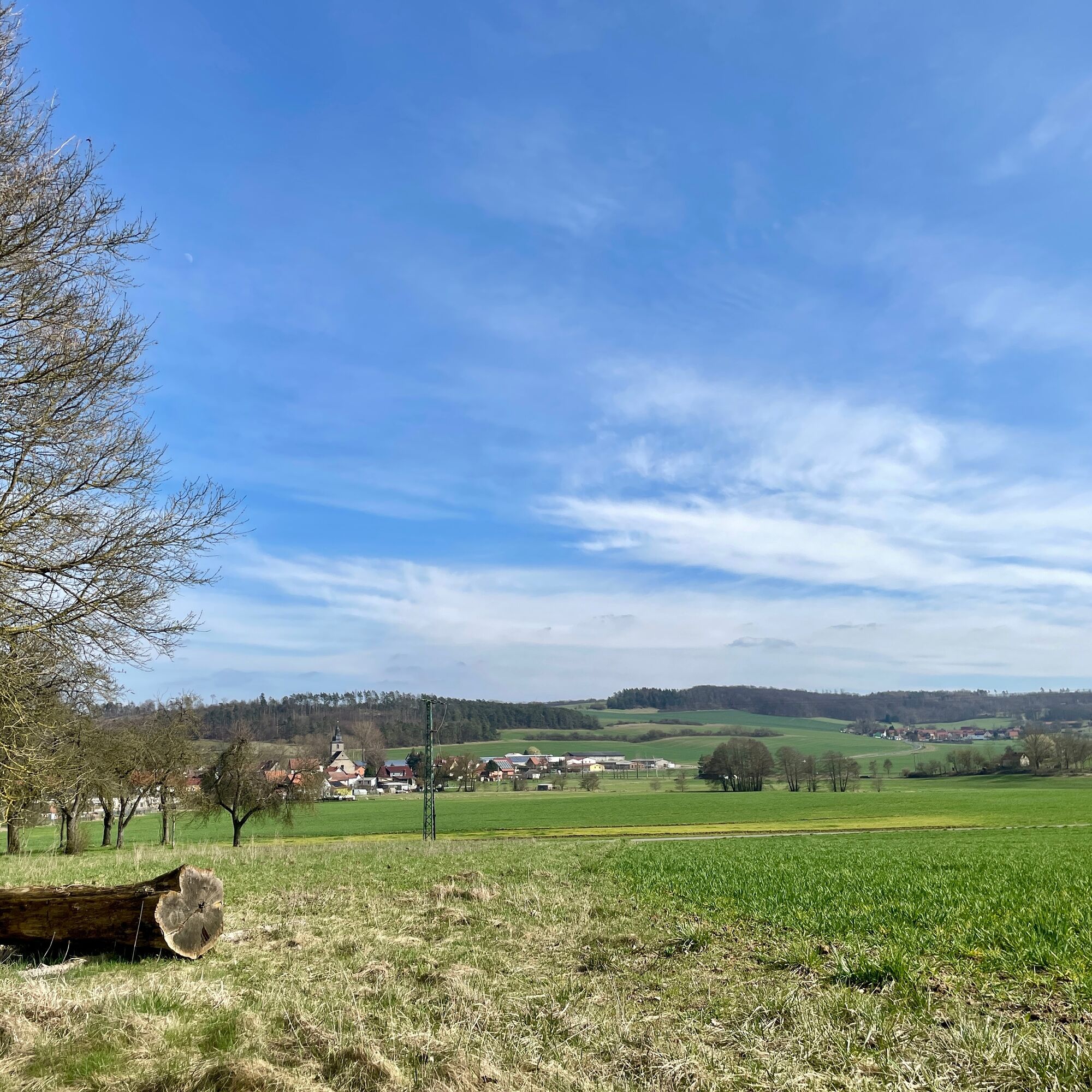
Ein paar hundert Meter weiter trennen sich die Wege wieder, und wir gehen nach rechts den Berg hinunter. Die Sonne scheint durch die Bäume am Fuße des Berges, wo wir links entlanggehen und dann rechts am Waldrand weiter. Hier haben wir eine tolle Aussicht auf die Landschaft. Nach ein paar Metern erreichen wir wieder eine Bank mit Blick auf die Flur. Unterwegs können wir Schmetterlinge sehen.
Weiter geradeaus kommen wir zu einer weiteren schönen Bank mit einer noch schöneren Aussicht. Am Waldrand entlang führt uns der befestigte Weg zu einer weiteren Aussicht auf die Gleichberge und die Umgebung.
Wir folgen dem Weg nach unten, wo es einen ausgewiesenen Rettungspunkt gibt. Dann gehen wir nach links zurück nach Exdorf und genießen den Blick auf das schöne Dorf. Schließlich schließen wir die Runde wieder an der Brunnenstube ab und machen uns auf den Rückweg zur Kirche.
Kyllä
Sturdy shoes
Light rucksack
drinking water
first aid kit
GPS navigation device or smartphone
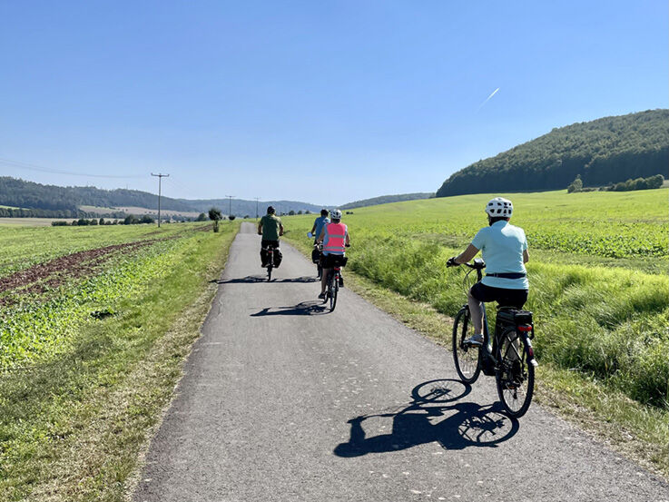
Take care when crossing road traffic. Sections of the path are part of the municipal cycle path network, so watch out for cyclists.
From Meiningen via Untermaßfeld on the L3089, at the "Zwick" junction take the 2nd exit on the right towards Jüchsen, Exdorf on the L1131. In the centre of the village, turn right towards Dorfstraße, then left towards Kirchgasse and park your car in Braugasse. Walk towards Kirchgasse and continue left towards Dorfstraße. Then continue to the starting point: Brunnenstube "An den 3 Linden", 98631 Grabfeld OT Exdorf.
Via the A71 motorway, exit Rentwertshausen, continue along the K 60 to Queienfeld, Jüchsen. In Jüchsen, turn right towards Exdorf onto the L1131.
In the centre of the village, turn right towards Dorfstraße, then left towards Kirchgasse and park your vehicle in Braugasse. Walk towards Kirchgasse and continue left towards Dorfstraße. Then continue to the starting point: Brunnenstube "An den 3 Linden", 98631 Grabfeld OT Exdorf.
Line 404 of Meininger Busbetriebs GmbH (MBB), the bus stop is in the centre of the village, the starting point is a 5-minute walk away.
To plan your journey, please use the Deutsche Bahn travel planner under this link and simply add your starting point and the desired travel period: --> Journey to Exdorf
Car park at Braugasse 2-73, 98631 Grabfeld, then 5 minutes on foot: towards Kirchgasse and left towards Dorfstraße, Brunnenstube "An den 3 Linden", 98631 Grabfeld OT Exdorf.
Suosittuja retkiä naapurustossa
-
5,0
Widderstatt - Jüchsen - Grabfeld -Rundweg
mediumVaellus 9,21 km -
5,0
"Auf dem Kelten-Erlebnisweg" - Vachdorf-Wachenbrunn - Wanderung
mediumVaellus 14,8 km -
Wanderung - von Meiningen zur Bakuninhütte (Rohr)
valoVaellus 5,79 km -
Circular trail - "Roland Werner memorial trail" - Jüchsen - Grabfeld
mediumVaellus 9,38 km -
Wasserwanderung auf der Werra
mediumKajakki / kanootti 22,7 km -
Kätzerode - Bibra - Grabfeld - Rundweg
mediumVaellus 8,66 km -
Wanderung - "Auf dem Werra-Burgen-Steig" - Grimmenthal-Vachdorf
mediumVaellus 11,8 km -
Radtour - "Keltenradweg" - Von Themar nach Bad Königshofen - Thüringer Wald
mediumPyöräily 42,0 km -
Stausee Familienwanderweg - Schwickershausen - Grabfeld
mediumVaellus 6,69 km -
"Grabfeldblick" - Obendorf - Rundweg
valoVaellus 4,48 km
Vaellus & jäljitys


Älä jää paitsi tarjouksista ja inspiraatiosta seuraavaa lomaasi varten.
Sähköpostiosoitteesi on lisätty postituslistalle.