


Hike - Terrain Fitness Trail Masserberg - TKW 6 - Schmiedebacherkopf - Thuringian Forest


The TKW 6 starts again at the Rennsteig parking lot, with a length of about 6 km and an altitude difference of 150 m. It runs briefly along the Rennsteig.
Then turn left at the parking lot into Kurallee,...
The TKW 6 starts again at the Rennsteig parking lot, with a length of about 6 km and an altitude difference of 150 m. It runs briefly along the Rennsteig.
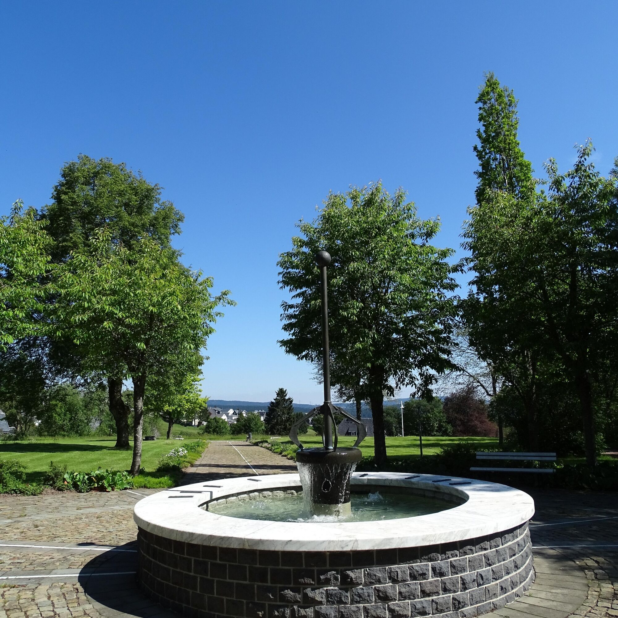
Then turn left at the parking lot into Kurallee, crossing Kurhausstraße, into Prof.-Georg-Lenz-Straße and into the Masserberg Spa Park.
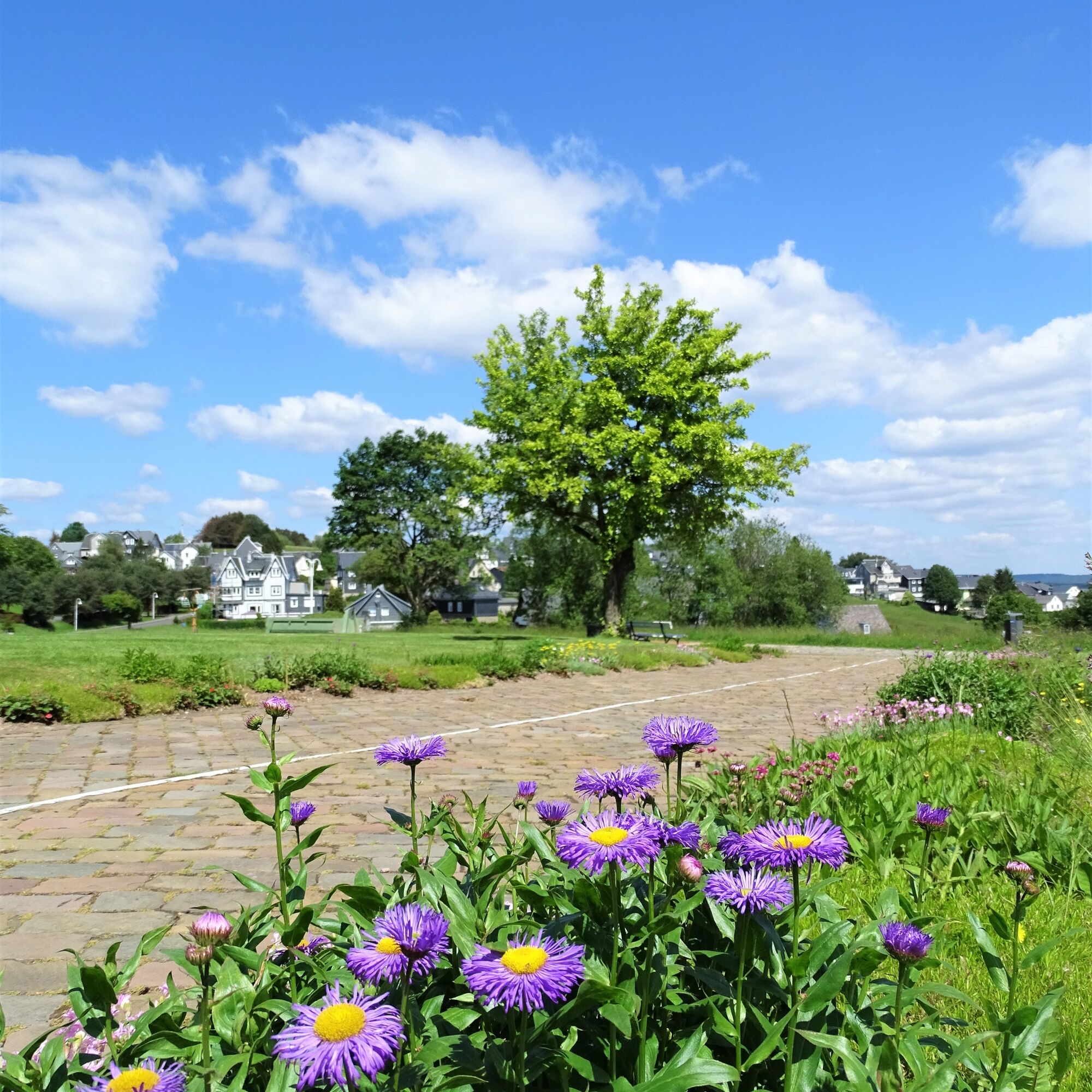
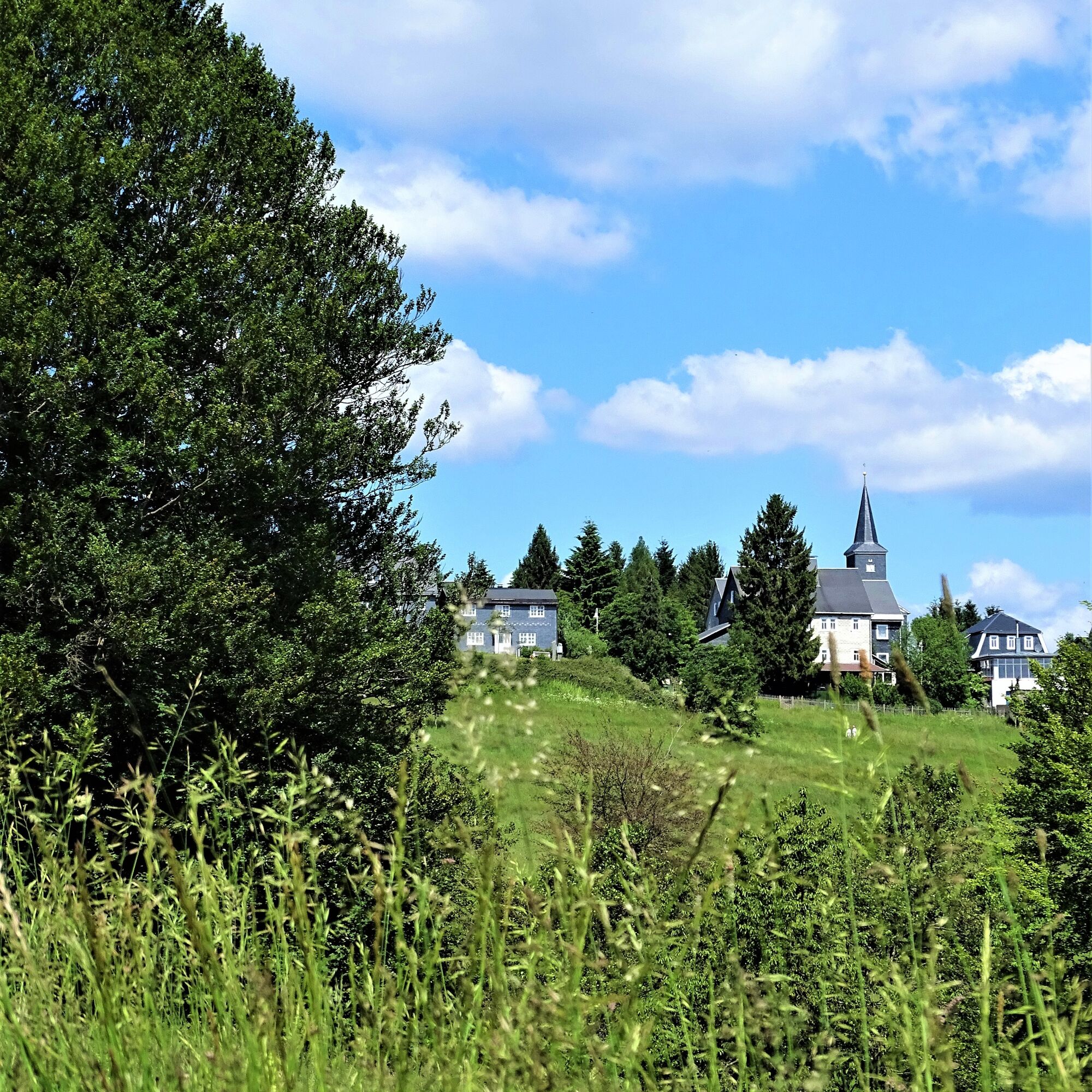
Now we enter Herrenhausstraße, from there over the spa meadows to Sommerwandstraße, then to the lower end of the village onto a mountain meadow and to the pilot point 8 of the ICE signpost. From there, turn right into the forest and follow the road for about 600m. Then leave the road and turn right onto a small path through the magnificent beech forest to Sommerwandstraße.
Now keep left to return to the starting point.

Rennsteig Parking Lot - Rennsteig - Spa Park - Spa Meadows - Schmiedebacherkof - Panorama Schwarzatal Trail - Spa Meadows - Rennsteig Parking Lot
Sturdy footwear
Drink supply
First aid kit
Smartphone
Please behave considerately and quietly in the forest to protect the flora and fauna. Follow the instructions of the forestry staff and observe restrictions due to forestry work.
From Eisenach or Dresden A4:
Exit from the A4 at Erfurter Kreuz onto the new A71 towards Ilmenau (until Ilmenau East exit). Then take the B87 (right) and continue towards Ilmenau city center (or towards Schleusingen / Suhl) until the signpost towards Neustadt / a.R. Turn towards Neustadt / a.R. - straight across the railway tracks to Neustadt am Rennsteig. From there it's just 9 km to Masserberg.
From Schleusingen: On the B4 towards Eisfeld, at Ratscher turn left towards Masserberg/Neustadt a.R. After the village Waldau first right, then left towards Masserberg. Continue via Lichtenau, Engenstein, Biberschlag and Tellerhammer to Masserberg.
From Bamberg: On the A73 to Eisfeld-Nord, then on the B4 towards Eisfeld to the roundabout, take the 3rd exit towards Neuhaus/Masserberg B281a, turn left onto B281a towards Masserberg, continue via Einsiedel, Fehrenbach to Masserberg.
From Schweinfurt: On the B303 to Coburg, from Coburg take the A73 to Eisfeld-Nord, then on the B4 towards Eisfeld to the roundabout, take the 3rd exit towards Neuhaus/Masserberg B281a, turn left onto B281a towards Masserberg, continue via Einsiedel, Fehrenbach to Masserberg.
From Eisfeld: Turn right towards Neuhaus / Saalfeld, at the next intersection drive towards Masserberg, continue via Waffenrod-Hinterrod to Masserberg.
From Hildburghausen: Drive towards Schleusingen, in Gerhardtsgereuth turn right towards Wiedersbach, then take the B4 towards Eisfeld, after the village Schwarzbach turn left towards Masserberg, continue via Lichtenau, Engenstein, Biberschlag and Tellerhammer to Masserberg.
You can reach Masserberg by bus and train. Use the German Rail travel portal for travel planning at the following link:
→ Getting to Masserberg
From Neuhaus am Rennweg Line 508 From Neustadt am Rennsteig Line 209 From Suhl Line 203
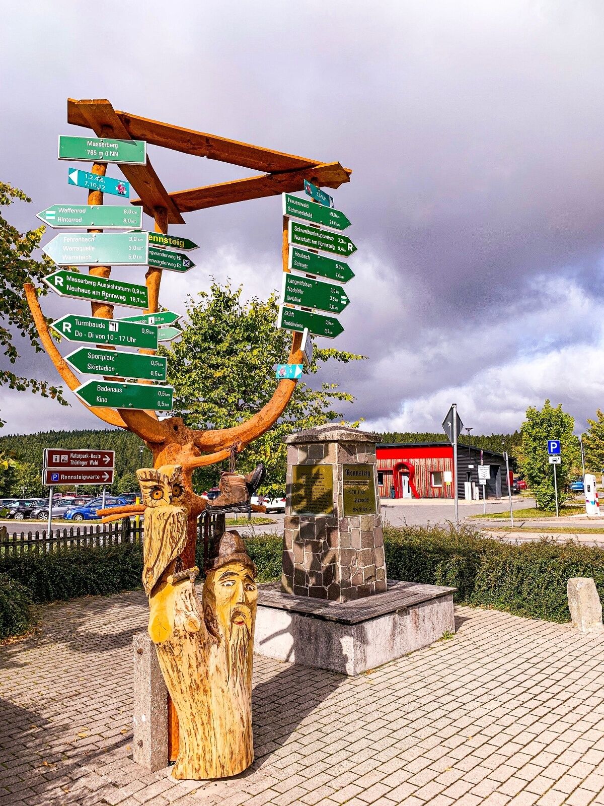
Rennsteig Parking Lot ( Google NAV Point )
Magnificent beech forests and mountain meadows await you.
Suosittuja retkiä naapurustossa
-
3,0
Circular hike - "4 ponds hike" Neustadt am Rennsteig - Thuringian Forest
mediumVaellus 12,6 km -
5,0
Naturlehrpfad Gießübler Schweiz
mediumVaellus 7,99 km -
The Rennsteig - long-distance hiking trail from Hörschel to Blankenstein - Thuringian Forest
raskasPitkän matkan vaellusreitti 169,0 km -
5,0
Circular hiking route - TOP 1 - Werra Source - Masserberg - Thuringian Forest
mediumVaellus 5,95 km -
Circular hike - Around the Schönbrunn reservoir - Thuringian Forest
mediumVaellus 15,6 km -
4,0
Circular hiking trail - TOP 4 - Masserberg - Fehrenbach Switzerland - Thuringian Forest
mediumVaellus 11,5 km -
3,0
Circular route - Panorama route Stützerbach - Terrain course TK 4
valoVaellus 10,4 km -
Circular route - TOP 3 - hike with a view - Masserberg - Thuringian Forest
mediumVaellus 17,3 km -
5,0
Circular hiking route - "Panorama View" - Schönbrunn - Thuringian Forest
valoVaellus 9,65 km -
Circular hike - To the Schönbrunn Dam - Frauenwald
mediumVaellus 15,1 km
Vaellus & jäljitys


Älä jää paitsi tarjouksista ja inspiraatiosta seuraavaa lomaasi varten.
Sähköpostiosoitteesi on lisätty postituslistalle.