


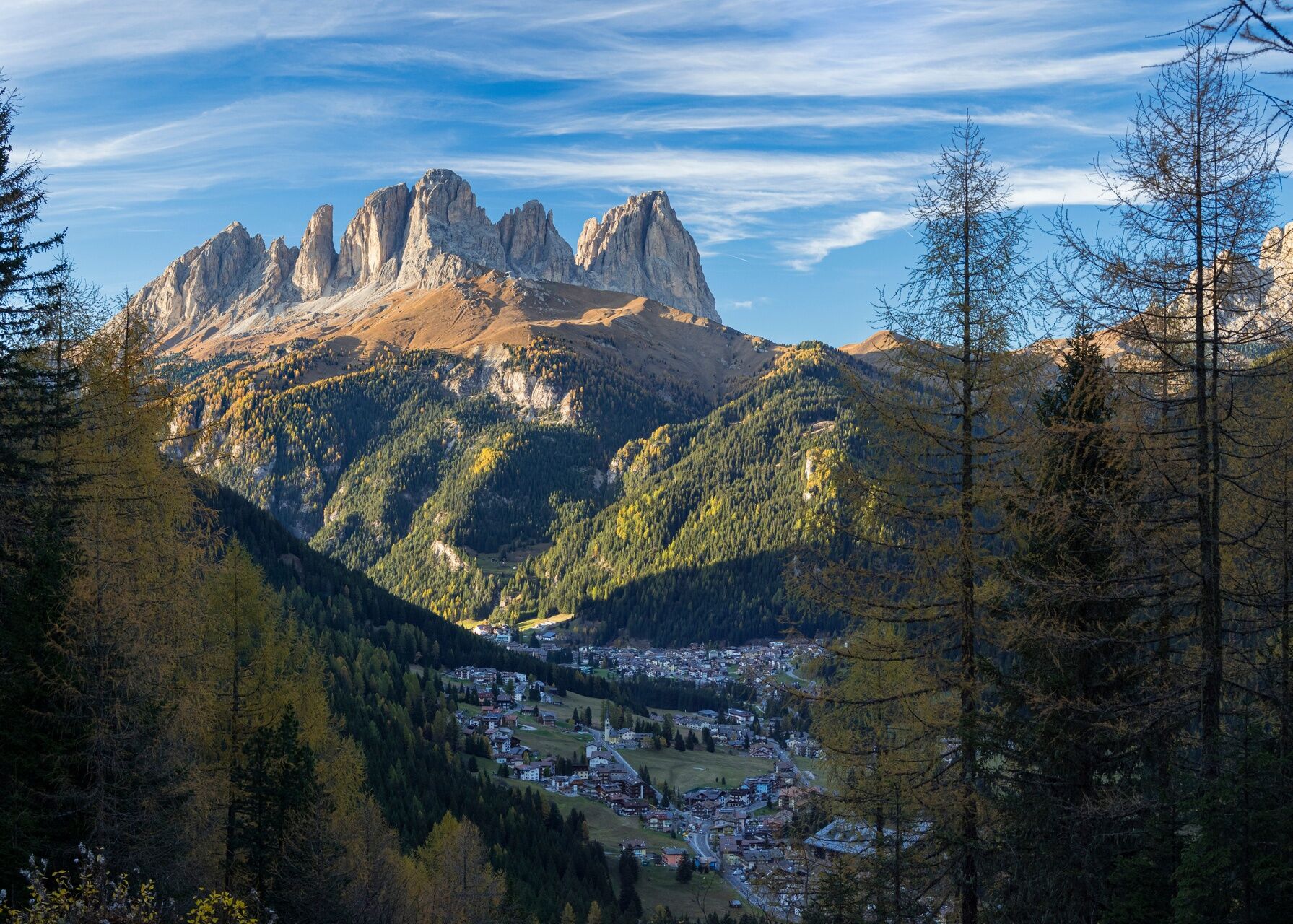
Alba di Canazei - Val Contrin
Vaikeustaso: S2


Kuvia käyttäjistämme
-
 © Andrea PeruginiLuotu 16.07.2024
 -
 © Andrea PeruginiLuotu 16.07.2024
 -
 © Andrea PeruginiLuotu 16.07.2024
 -
 © Andrea PeruginiLuotu 16.07.2024
 -
 © Andrea PeruginiLuotu 16.07.2024
 -
 © Andrea PeruginiLuotu 16.07.2024
 -
 © Andrea PeruginiLuotu 16.07.2024
 -
 © Andrea PeruginiLuotu 16.07.2024
 -
 © Andrea PeruginiLuotu 16.07.2024
 -
 © Andrea PeruginiLuotu 16.07.2024
 -
 © Andrea PeruginiLuotu 16.07.2024
 -
 © Andrea PeruginiLuotu 16.07.2024
 -
 © Andrea PeruginiLuotu 16.07.2024
 -
 © Andrea PeruginiLuotu 16.07.2024
 -
 © Andrea PeruginiLuotu 16.07.2024
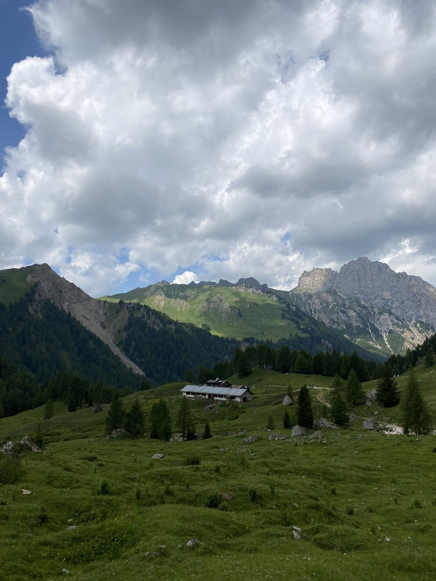


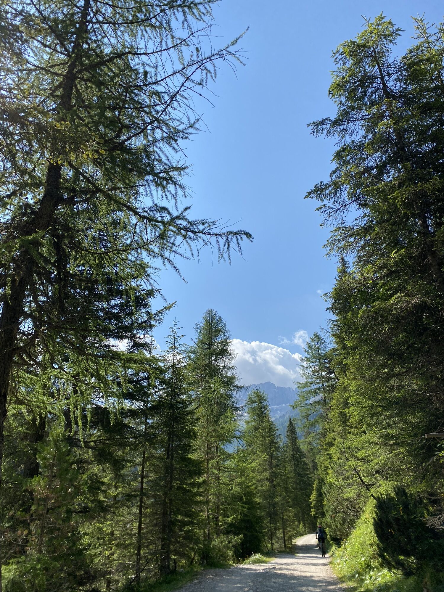

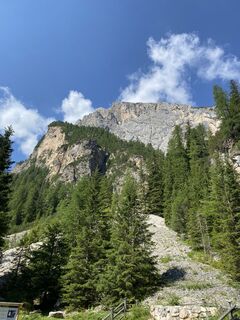
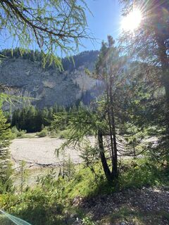
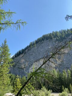
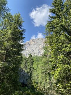
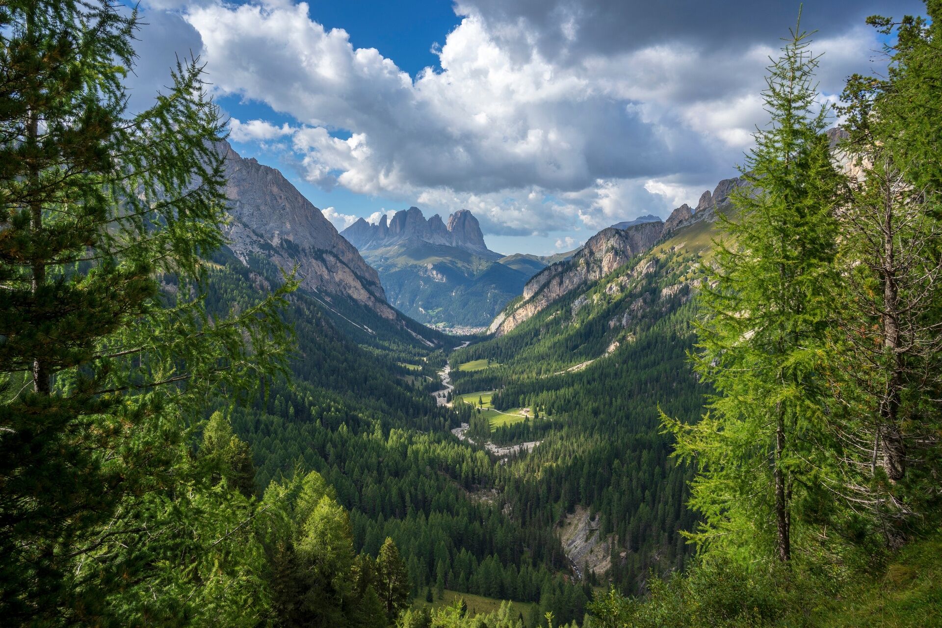
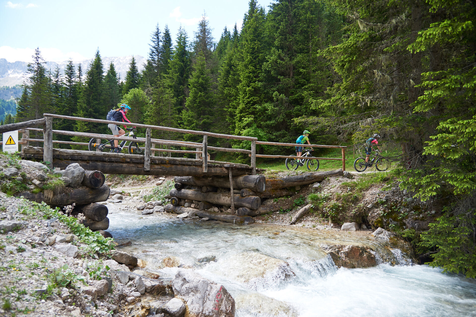
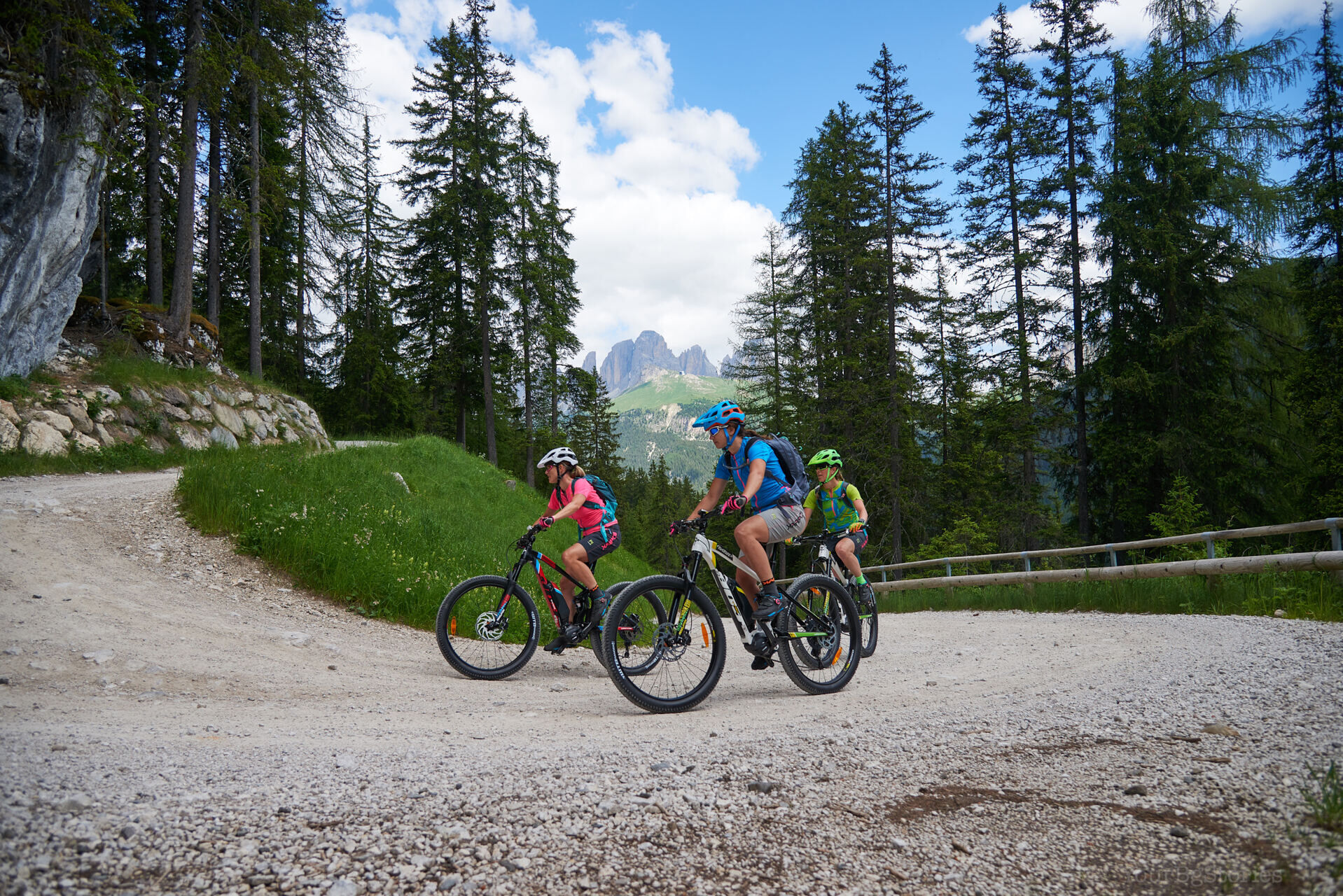
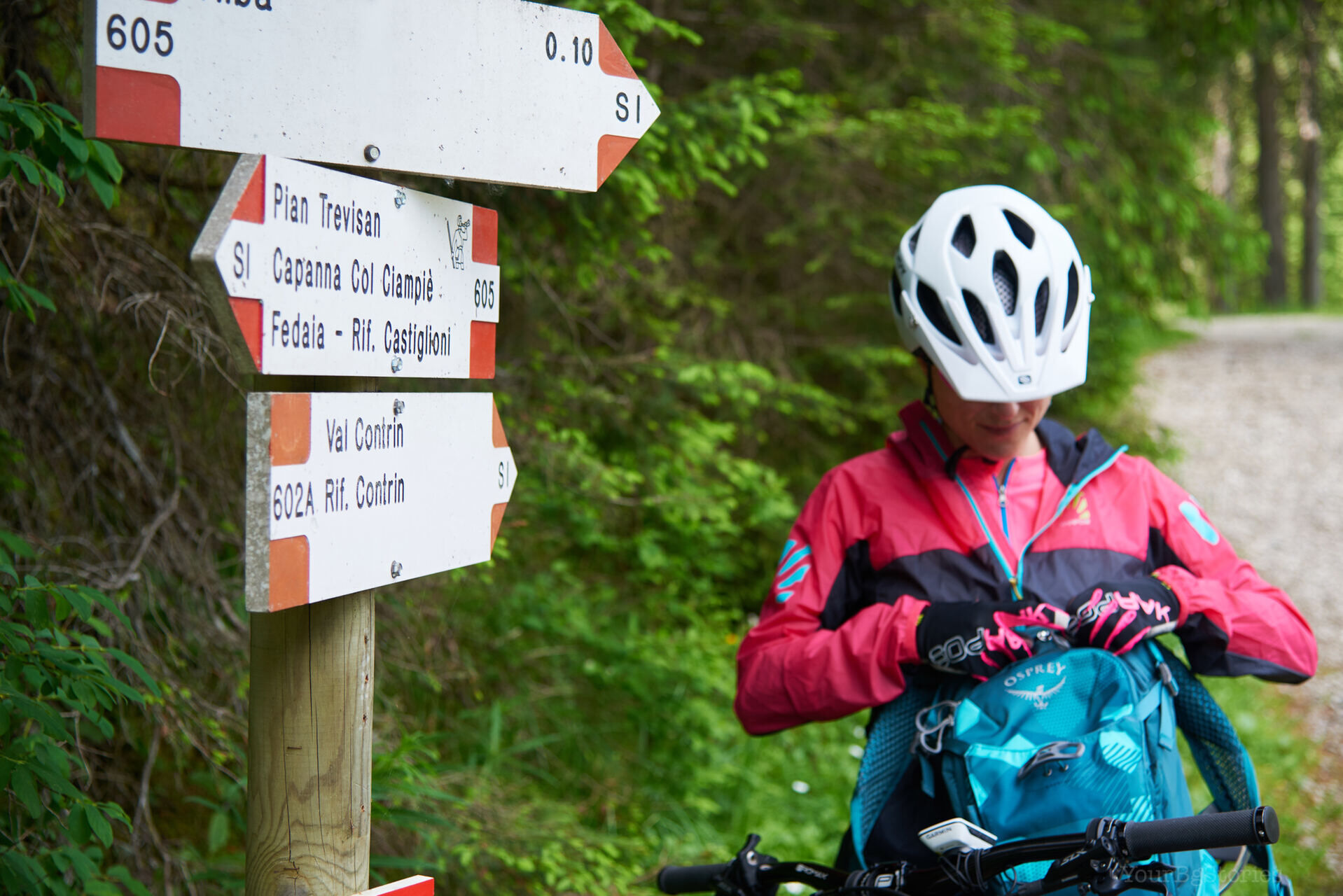
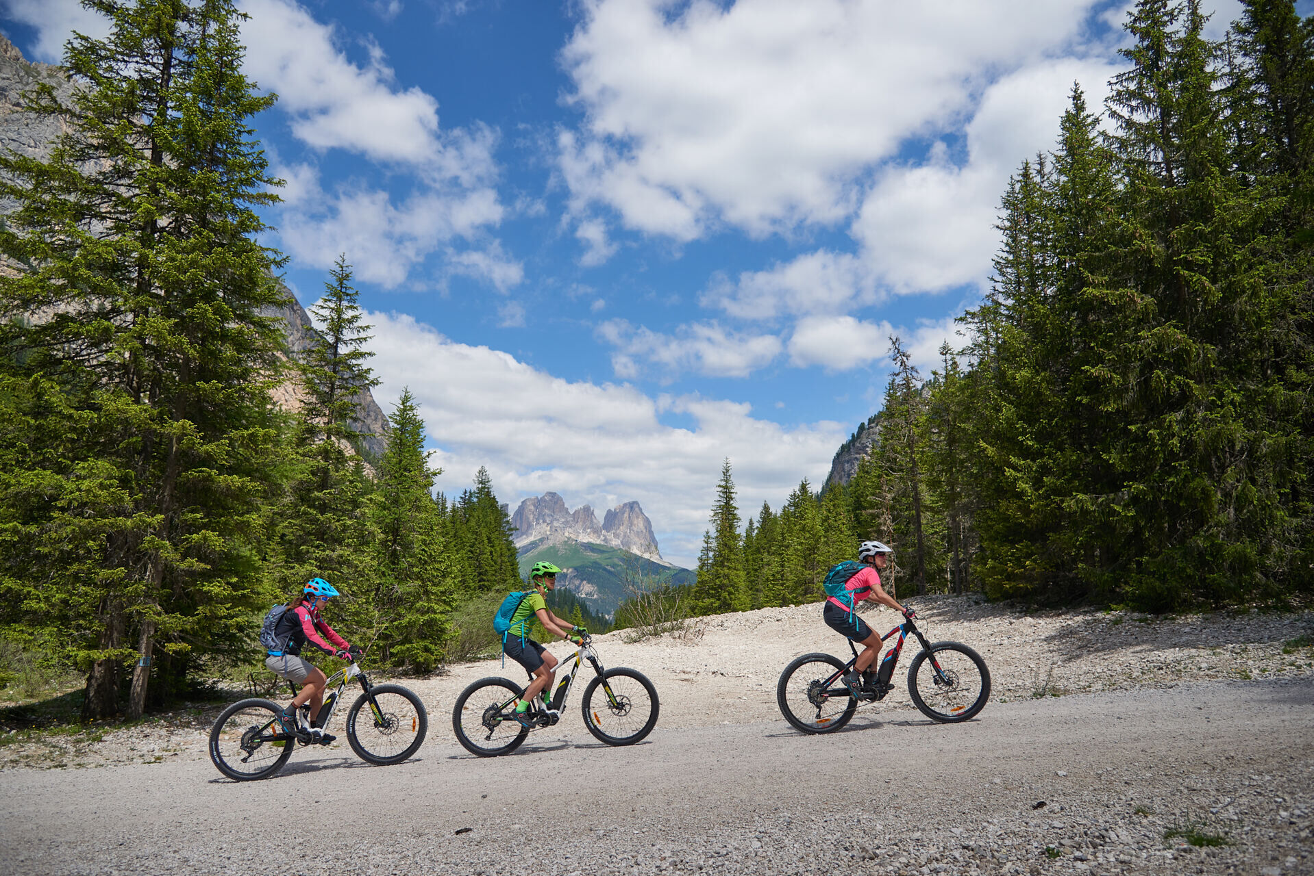
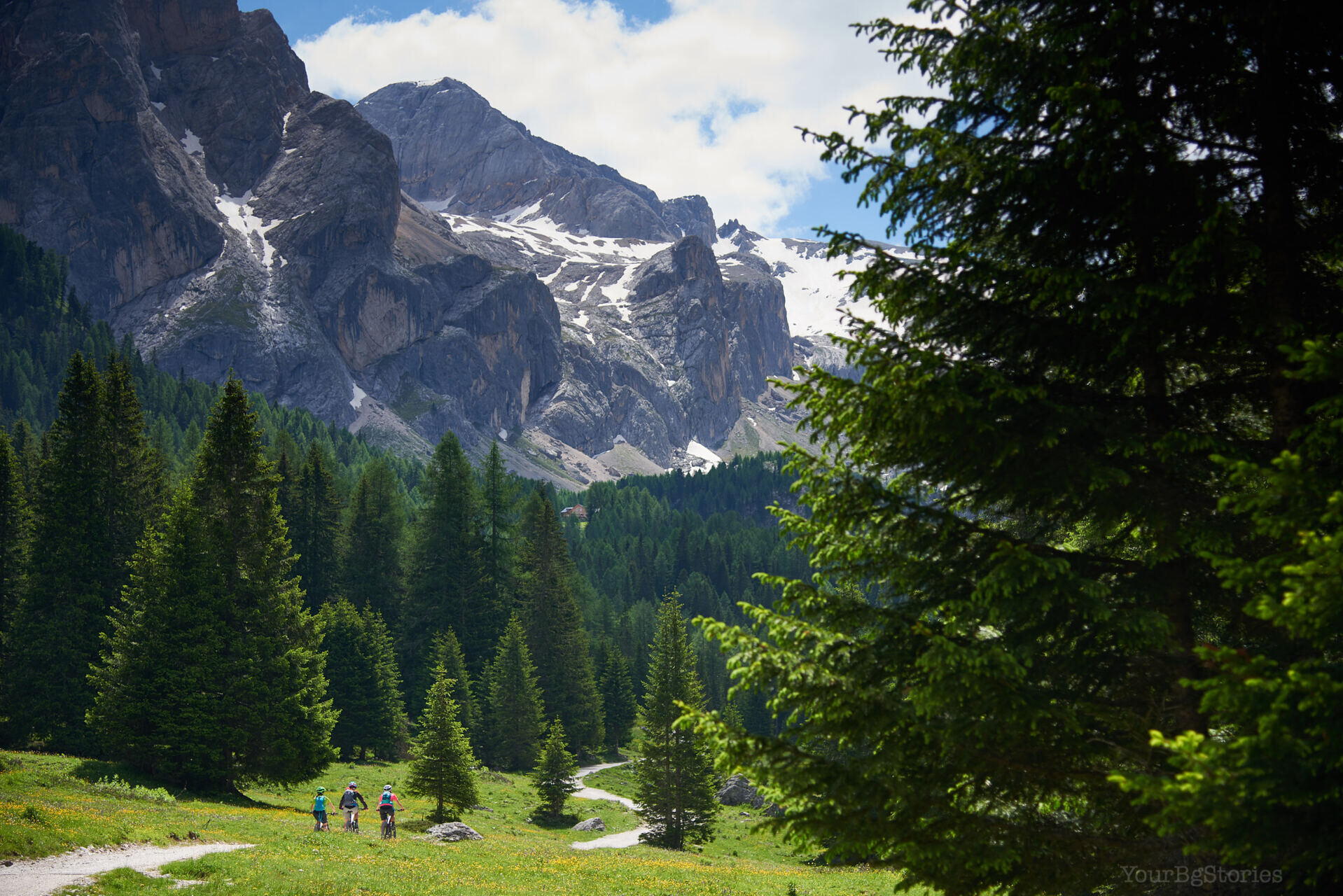
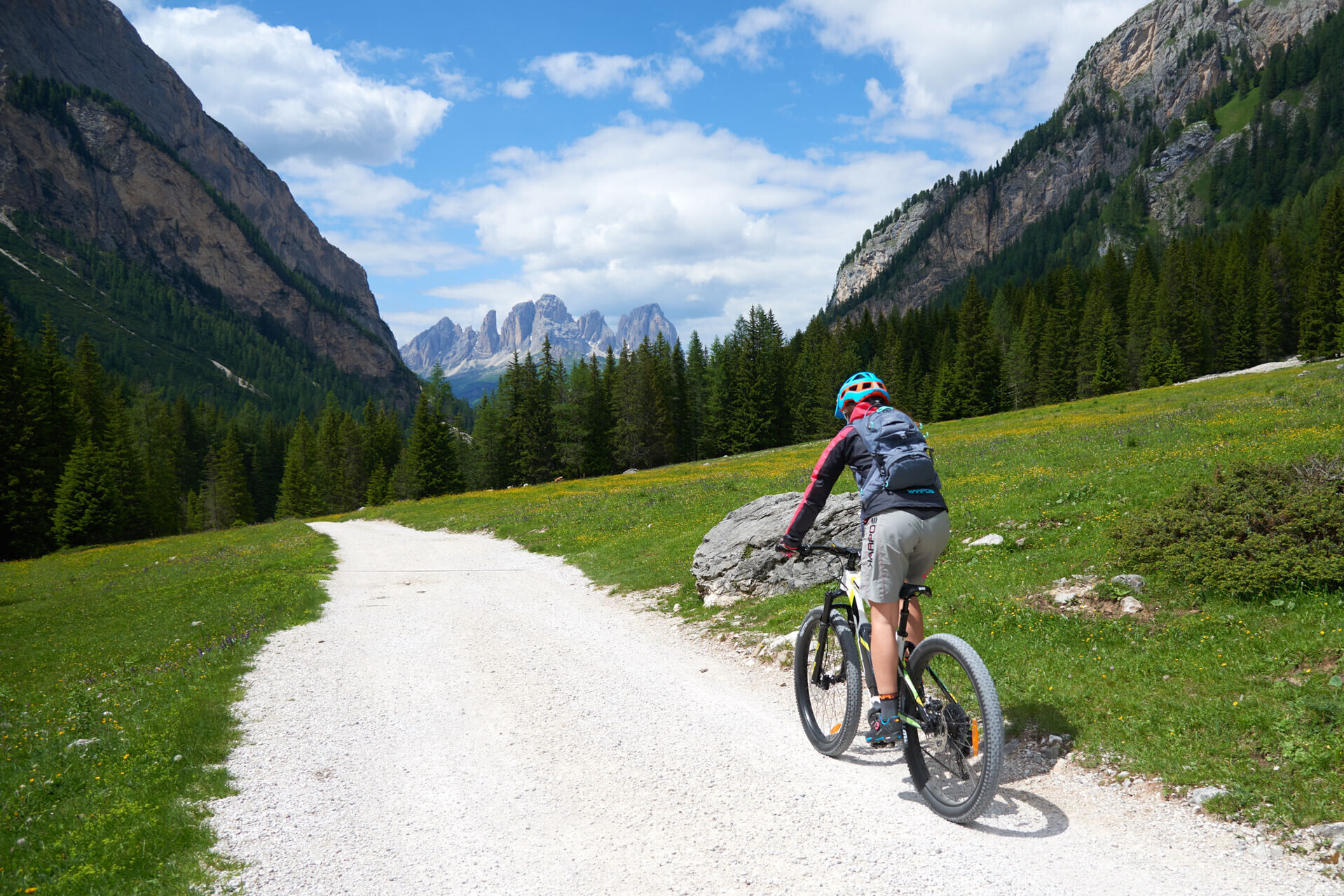
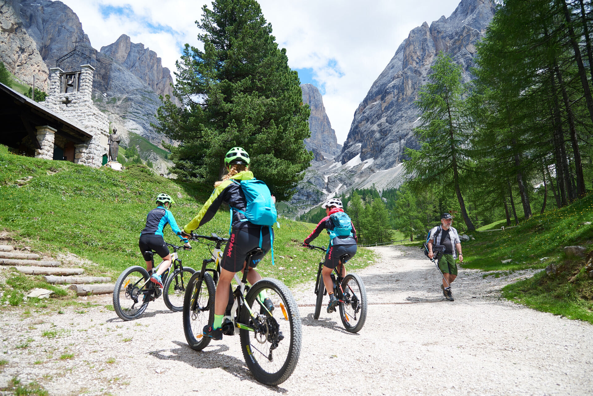
From the square of Alba, reach the valley station of Ciampac lifts. Behind the parking, take the dirt road (trail sign no. 602) that, with wide and easy hairpin bends, climbs in the woods. This section...
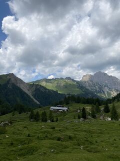
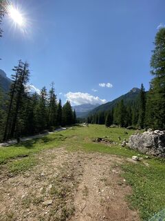
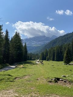
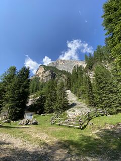
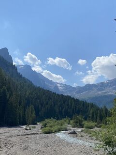
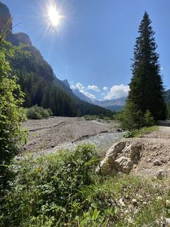
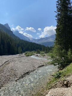
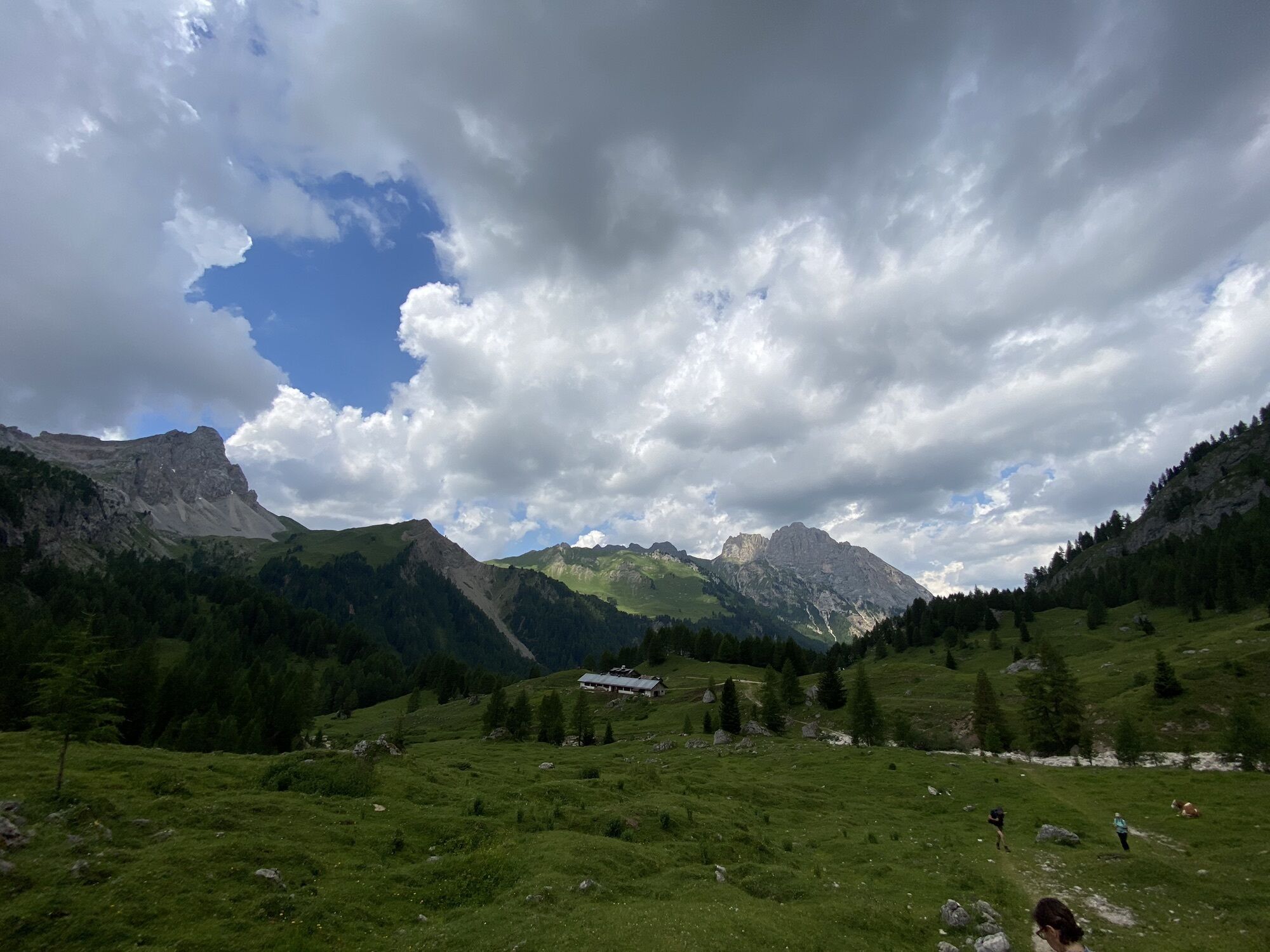
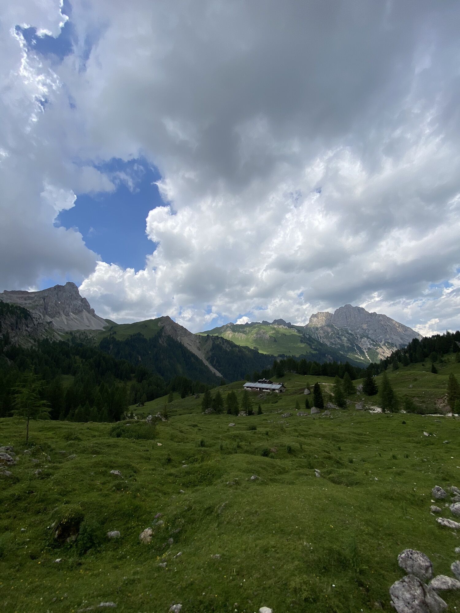
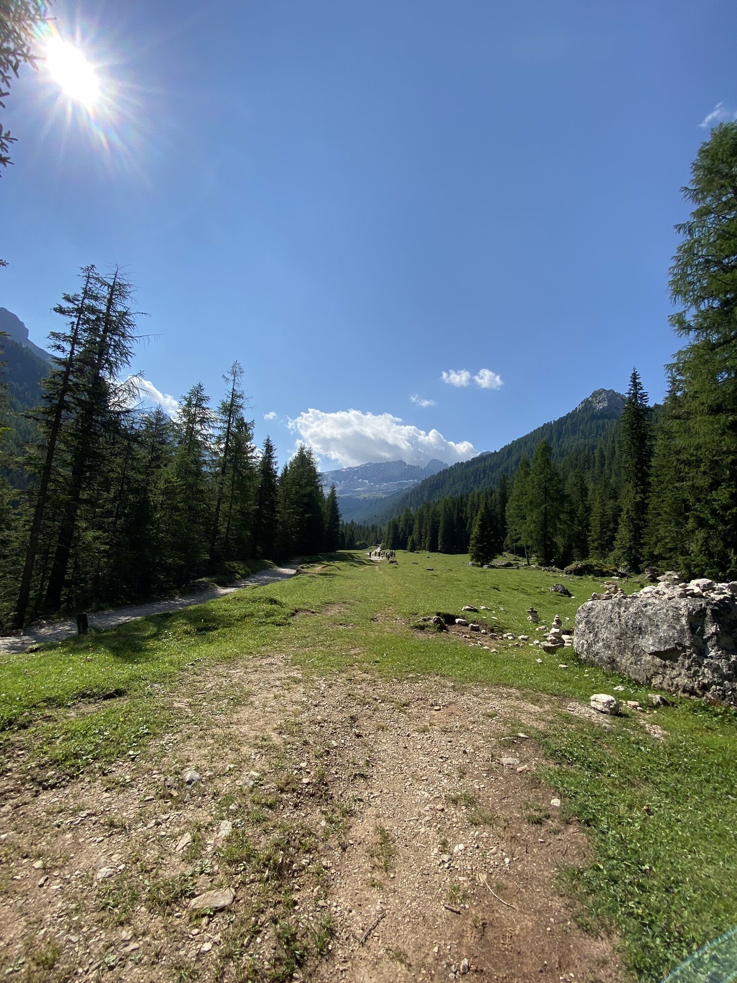
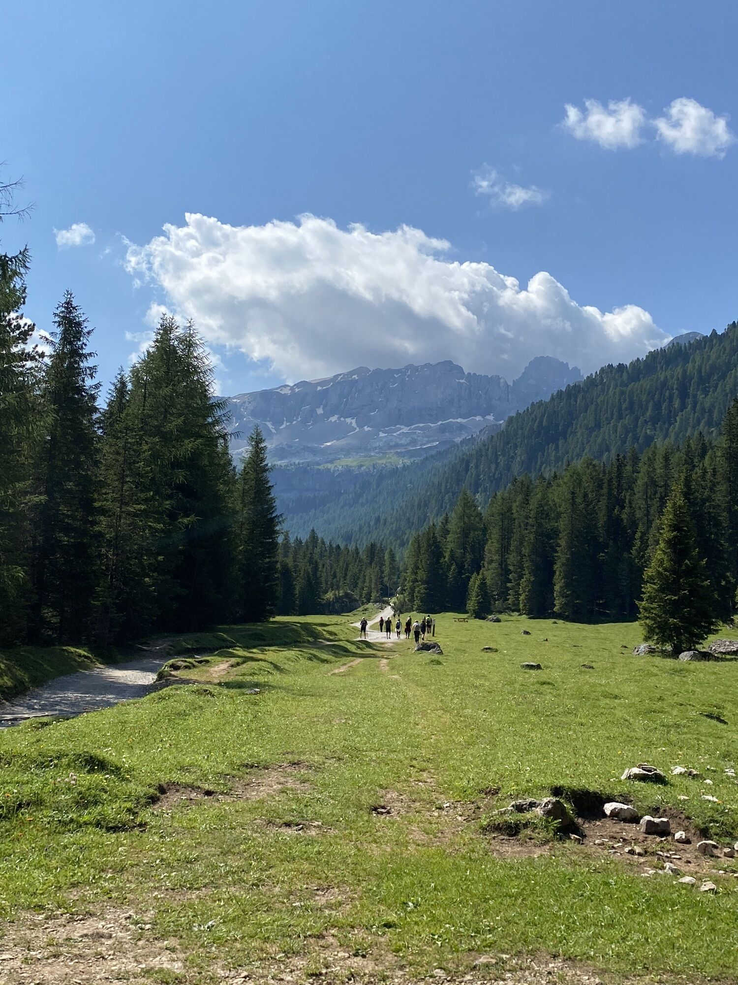
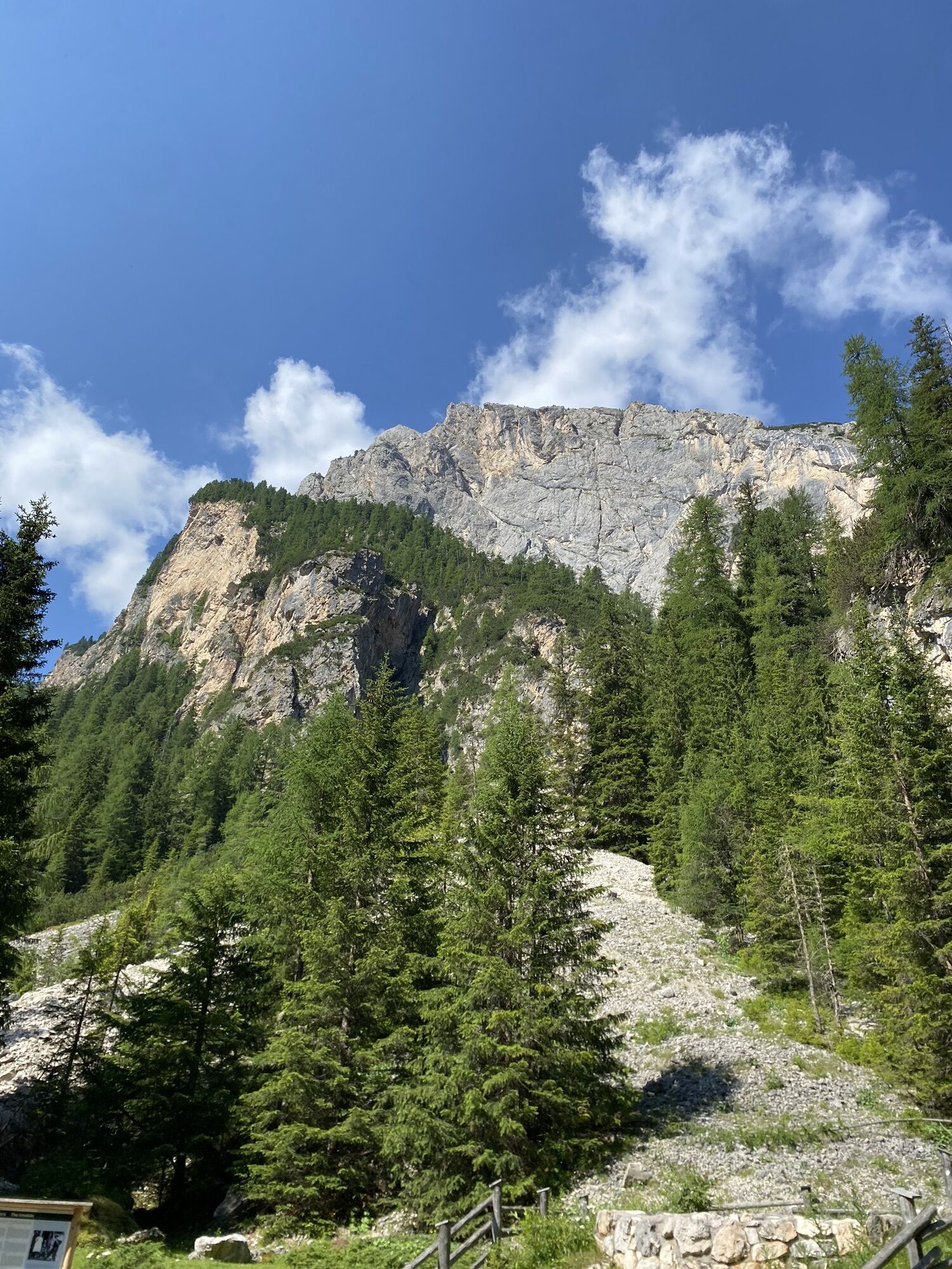
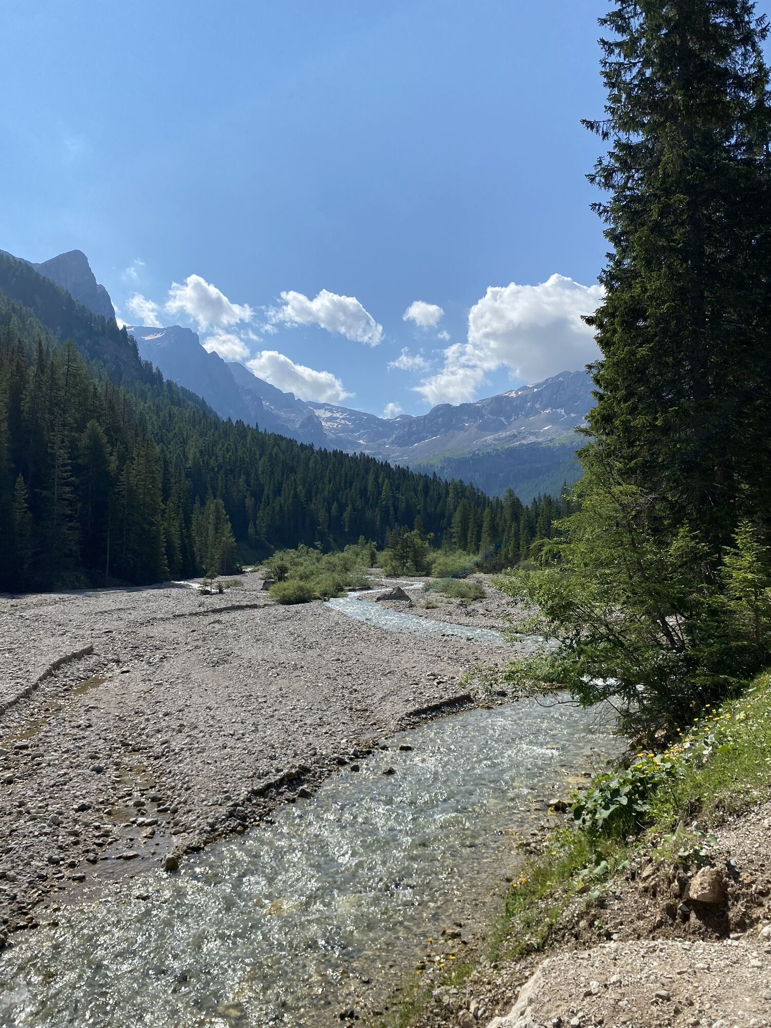
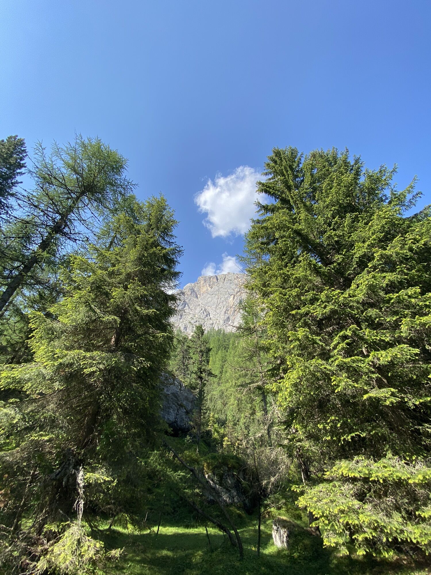
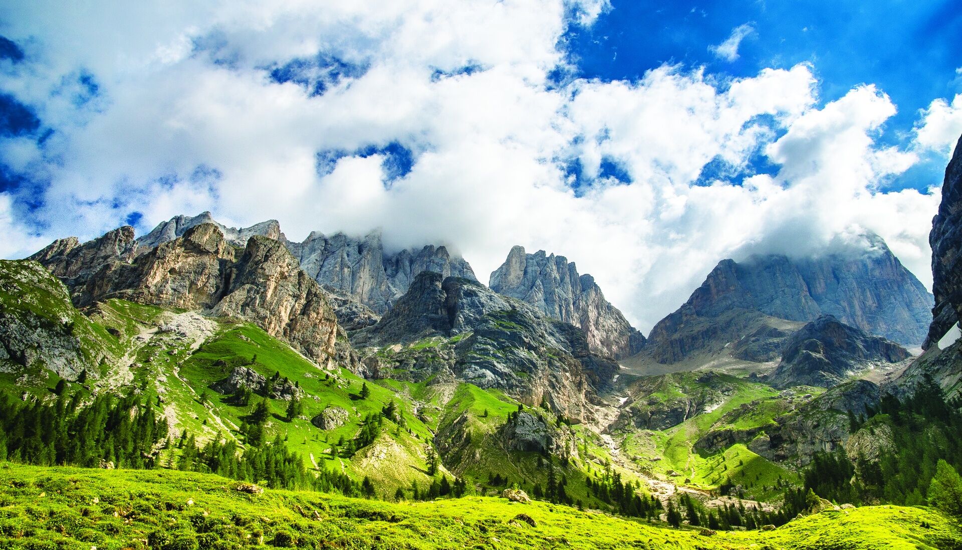
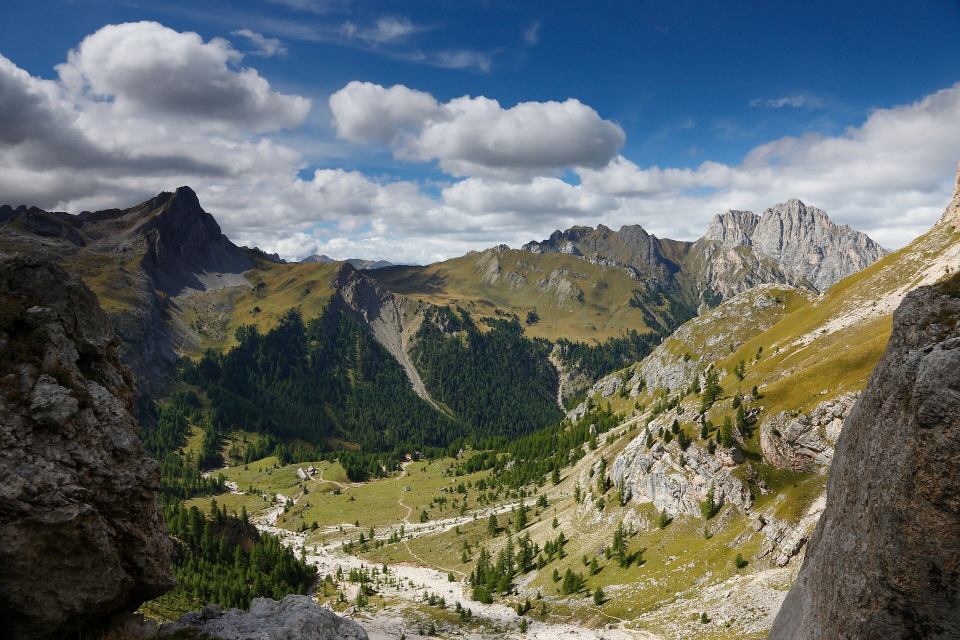
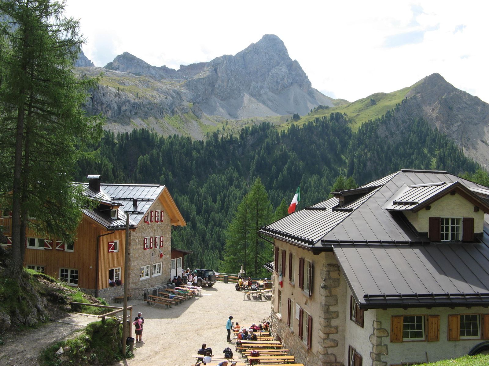
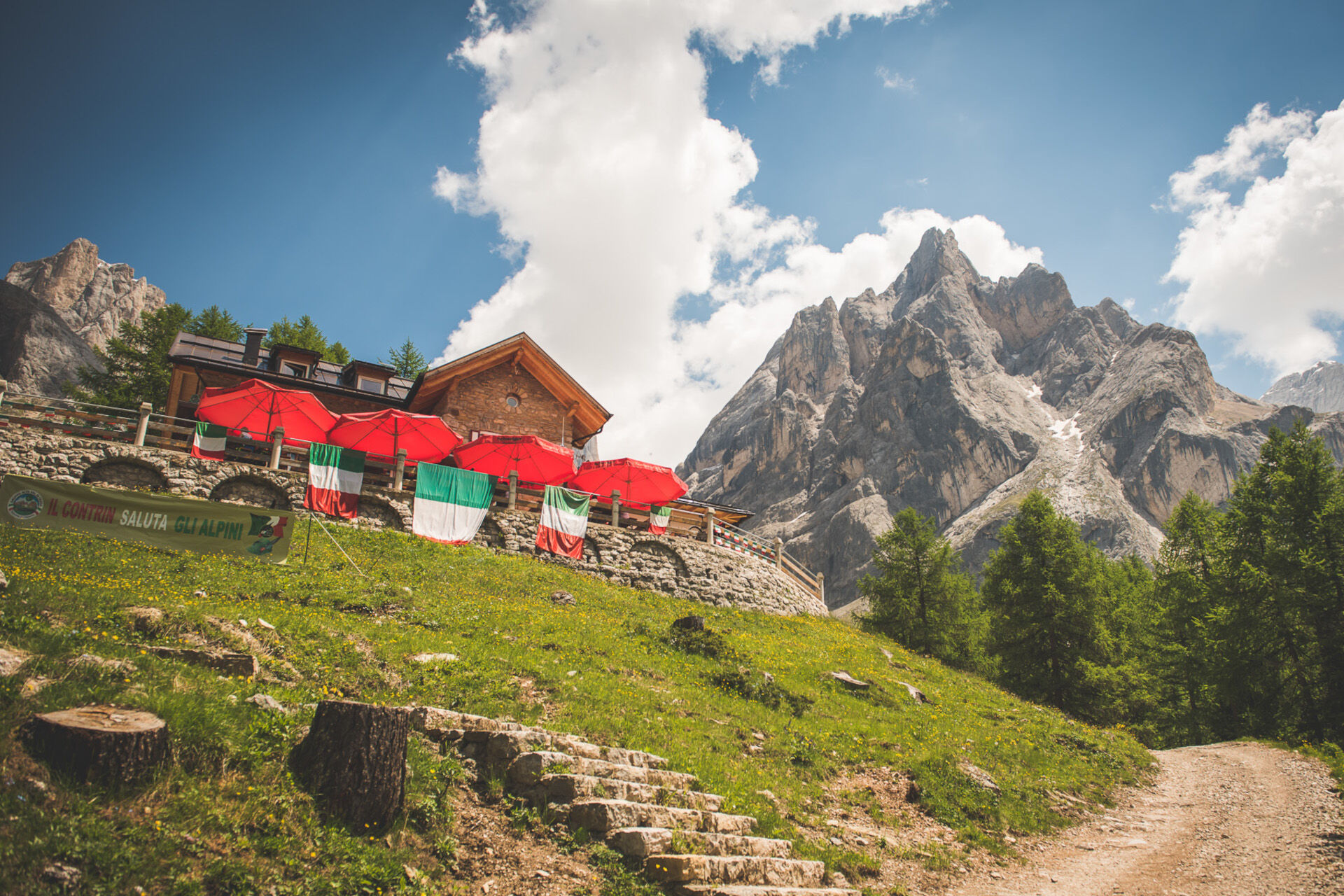
From the square of Alba, reach the valley station of Ciampac lifts. Behind the parking, take the dirt road (trail sign no. 602) that, with wide and easy hairpin bends, climbs in the woods. This section is immediately challenging, with about 200 metres of elevation gain. Catch your breath once arrived at Baita Locia Contrin hut. From here the forest becomes sparse, the valley opens up, and the route gets flatter. Continue for about two kilometres going slightly uphill, pedalling through high-mountain pastures in a grandiose setting, with summits surrounding the valley on each side. On your right "Colac", on your left "Vernel" and Marmolada, whereas eastwards you’ll see the monumental tower of "Cima di Ombretta". Cross "Ruf de Contrin" stream and reach Mèlga Cianci hut. The last, major climb leads to Contrin hut, overlooking the valley from a hump. You can also continue up to Malga Contrin hut. Return along the same route.
From the square of Alba reach the valley station of Ciampac lifts. Behind the parking, take the dirt road (trail sign no. 602) that, with wide and easy hairpin bends, climbs in the woods. Follow the directions for MTB tour no. 2101.
Wear adequate clothing, footwear and equipment suitable for the length and grade of difficulty of trail to be taken. Always try to be self-sufficient and carry with you the necessary to face possible emergency situations and a first aid kit.
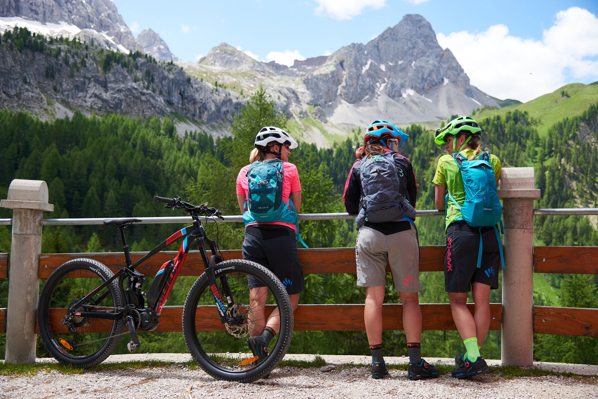
Ideal route for: mountain bike, e-MTB.
Plan a tour based on your skills and on the weather.
Proceed slowly and enjoy the view and the silence.
Adapt your riding style to the characteristics and the conditions of the ground.
Rely on the bike guides.
Wear adequate clothing and equipment.
Respect the environment surrounding you and bring your waste back.
Follow the path and avoid the ones prohibited to bikes.
Help those who need it.
Be careful on the cycling path and on routes with pedestrians.
If you come across pedestrians and hikers, warn them of your approach and slow down.
exit Ora/Egna, S.S. 48 delle Dolomiti - San Lugano Pass - Val di Fiemme - Val di Fassa (distance 45 km). At the roundabout in Moena (industrial area), proceed towards Canazei exit Bolzano Nord, S.S. 241 Grande Strada delle Dolomiti - Carezza Pass - Vigo di Fassa (distance 40 km). From Vigo, head north for Canazei, head south for Soraga di Fassa and Moena
Other access points to Val di Fassa:
from A27 motorway (Venezia), exit Belluno/Ponte nelle Alpi, S.S. 203 to Agordo and S.P. 346 to San Pellegrino Pass - Moena (Val di Fassa). At the roundabout in Moena, proceed towards Canazei from A27 motorway (Venezia), exit Belluno/Ponte nelle Alpi, S.S. 203 to Agordo/Alleghe/Rocca Pietore. S.P. 641 to Fedaia Pass - Canazei coming from Arabba, S.S. 48 to Pordoi Pass - Canazei from Val Gardena, S.S. 242 to Sella Pass - Canazei
line no. 101 Canazei - Cavalese - Trento line no. 104 Cavalese - Ora - Trento line no. 123 Moena - San Pellegrino Pass - Falcade
Public transport lines SAD - Val di Fassa:
line no. 180 Vigo di Fassa - Carezza Pass - Bolzano line no. 471 Dolomites passes (Sella Pass, Gardena Pass, Campolongo Pass, Pordoi Pass, Fedaia Pass). Service available in summer only
Parking: "Ciampac" lift valley station (for a fee); "G. Scola" ice stadium.
S2
Tourist Board Val di Fassa
Strèda Roma, 36
38032 Canazei (TN)
Phone +39 0462 609500
info@fassa.com
www.fassa.com
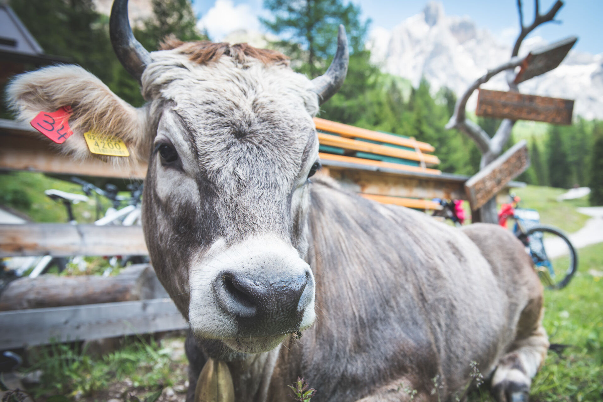
The path is heavily used by pedestrians. Attention: the stretch between Alba and Mèlga Cianci is served, during the months of July and August, by a shuttle service (jeep). Free grazing animals.
Bosch Ebike Power Stations in Canazei: Contrin Refuge; Bikeasy, Detomas Shop, Northland, Peak Sport Adventure rentals.
Kiertueen webbikamerat
-
Bergstation Col de Valvacin
-
Bergstation Col de Valvacin
-
Bergstation Col de Valvacin
-
Bergstation Col de Valvacin
-
Bergstation Col de Valvacin
-
Bergstation Col de Valvacin
-
Bergstation Col de Valvacin
-
Bergstation Col de Valvacin
-
Bergstation Col de Valvacin
-
Col dei Rossi
-
Bergstation Col de Valvacin
-
Rifugio Maria Sass Pordoi
-
Arabba - Passo Pordoi
-
Col dei Rossi
-
Col dei Rossi
-
Col dei Rossi
-
Campitello di Fassa - Col Rodella
-
Col dei Rossi
-
Col dei Rossi
-
Col dei Rossi
-
Col dei Rossi
-
Col dei Rossi
-
Canazei - Ciampac
-
Canazei - Ciampac
-
Canazei - Ciampac
-
Canazei - Ciampac
-
Arabba - Passo Pordoi
-
Col dei Rossi
-
Col dei Rossi
-
Col dei Rossi
-
Col dei Rossi
-
Col dei Rossi
-
Sass Pordoi - Altopiano del Boe
-
Sass Pordoi - Altopiano del Boe
-
Sass Pordoi - Altopiano del Boe
-
Sass Pordoi - Altopiano del Boe
-
Sass Pordoi - Altopiano del Boe
-
Sass Pordoi - Altopiano del Boe
-
Sass Pordoi - Altopiano del Boe
-
Sass Pordoi - Altopiano del Boe
Suosittuja retkiä naapurustossa
-
4,7
Anello Passo Pordoi-Forcella P-Piz Boè
mediumVaellus 10,6 km -
4,6
Pordoi Pass - Sass Pordoi - Forcella Pordoi - Piz Boè - Boè Refuge - Forcella Pordoi - Pordoi Pass
raskasVaellus 8,39 km -
4,7
Langkofel-Umrundung
mediumVaellus 12,9 km -
4,6
Umrundung Langkofel und Plattkofel, Gipfel Plattkofel
raskasVaellus 21,8 km -
4,9
Lang- und Plattkofel Umrundung
mediumVaellus 17,5 km -
4,8
Sasslong Rundwanderung
mediumVaellus 10,8 km -
4,8
Santnerpass Klettersteig
mediumVia ferrata 8,29 km -
5,0
Ciampedie - Gardeccia - Refuges Vajolet and Preuss - Refuge Re Alberto I - Gardeccia - Ciampedie
raskasVaellus 11,8 km -
5,0
Um den Langkofel
mediumVaellus 9,76 km -
4,5
Kölner Hütte - Hirzelsteig - Rotwandhütte - Baita Tre - Karerpass
mediumVaellus 9,56 km
Vaellus & jäljitys


Älä jää paitsi tarjouksista ja inspiraatiosta seuraavaa lomaasi varten.
Sähköpostiosoitteesi on lisätty postituslistalle.