


Golm Tour
Vaikeustaso: 2


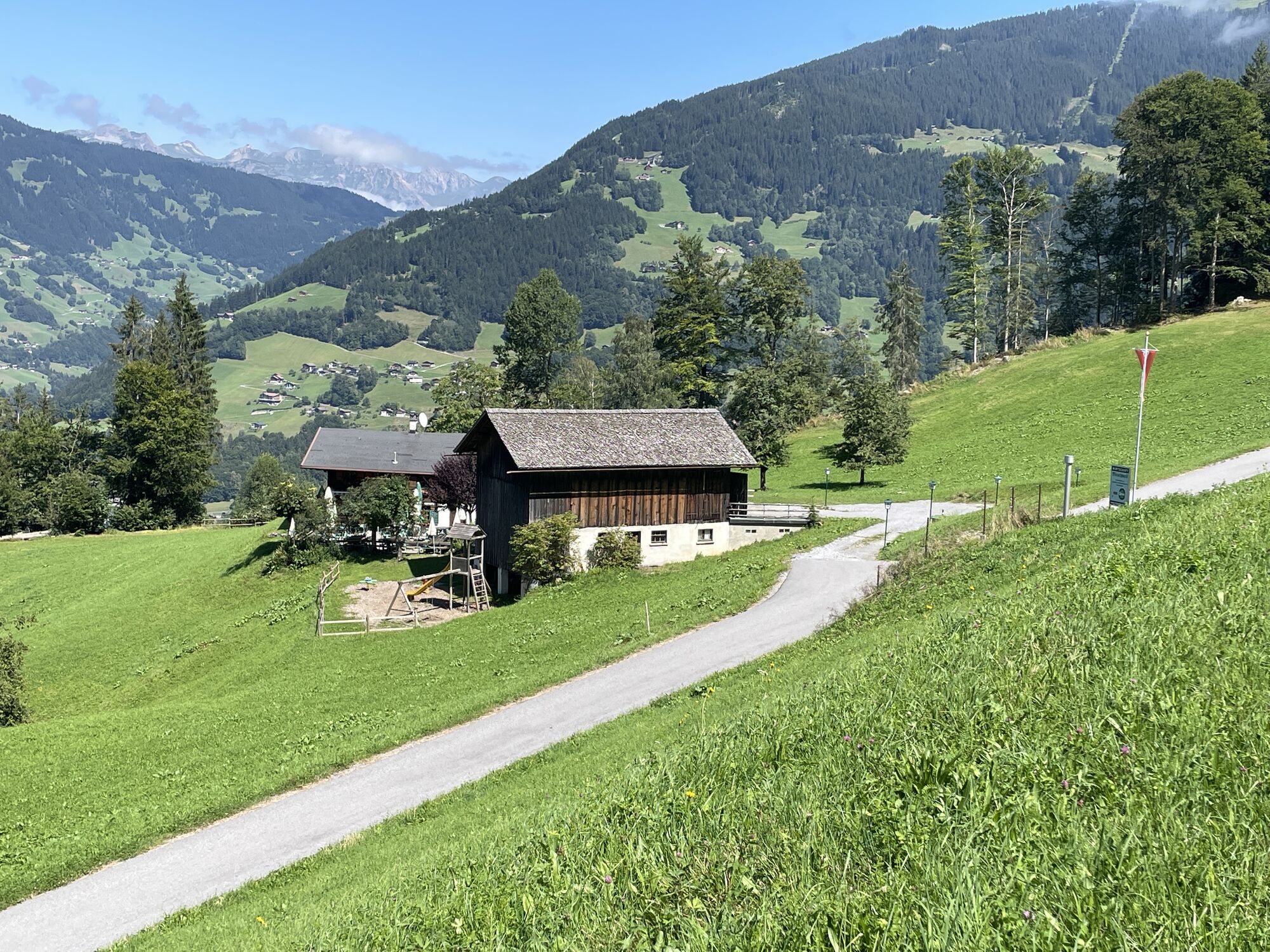
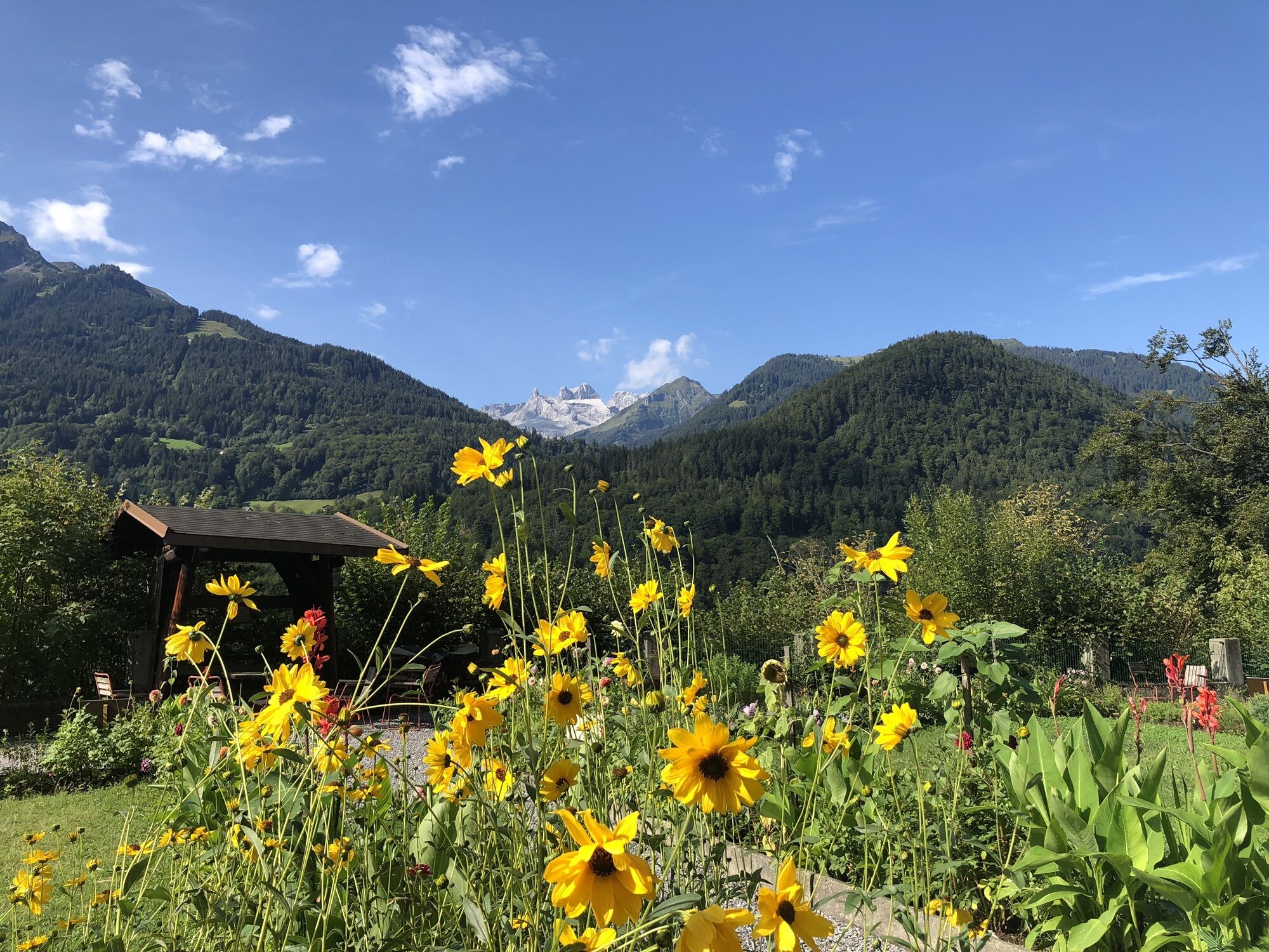
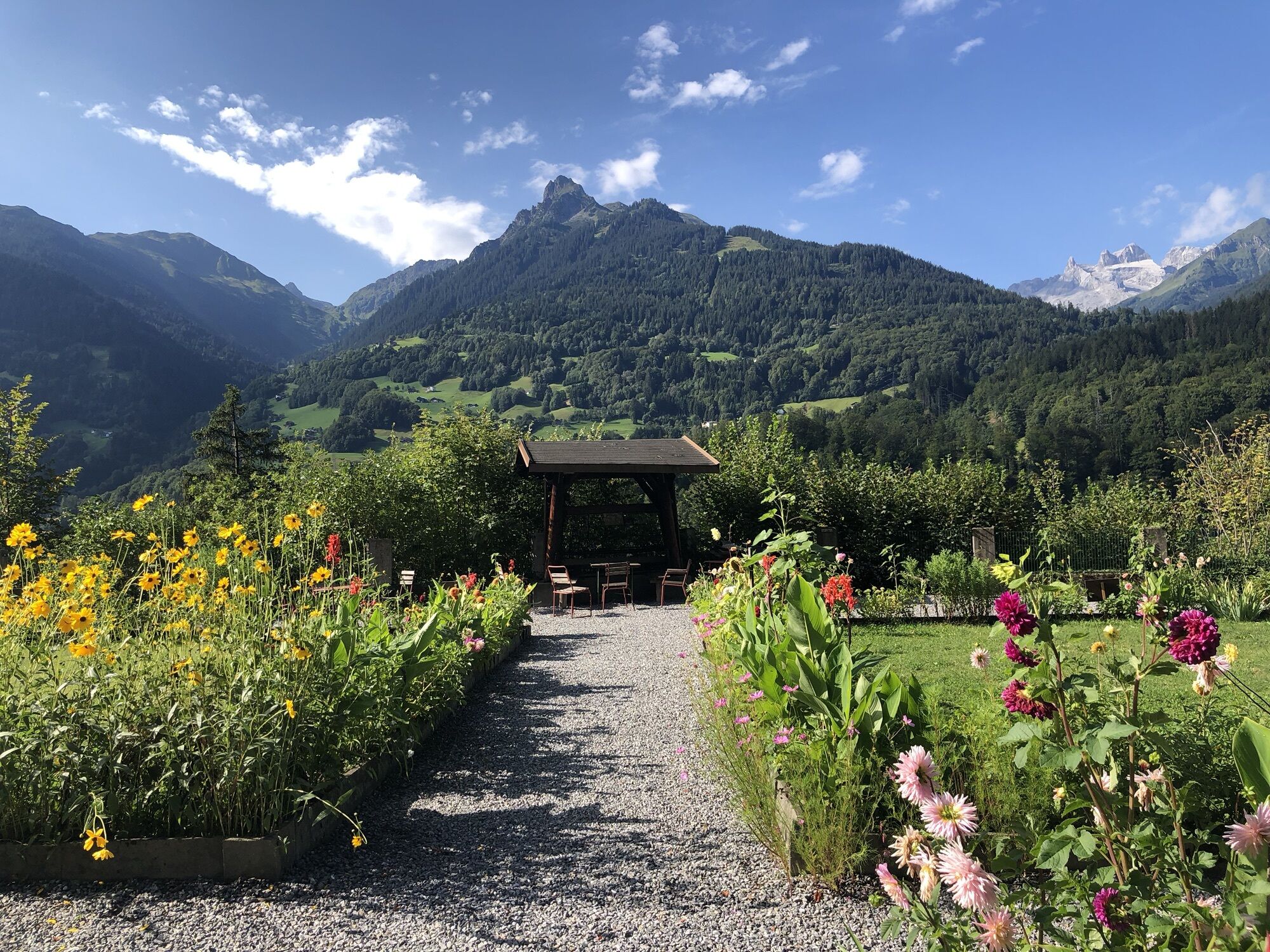

You start your route from Aktivpark Montafon in Schruns-Tschagguns with a relaxed warm-up phase on the cycle path towards Vandans. The Ganeu service road leads you into a world of silence and serenity...
You start your route from Aktivpark Montafon in Schruns-Tschagguns with a relaxed warm-up phase on the cycle path towards Vandans. The Ganeu service road leads you into a world of silence and serenity – past dense forests, lush meadows, and the traditional maize huts of the region. Here you can experience the original Montafon cultural landscape in a particularly intense way.
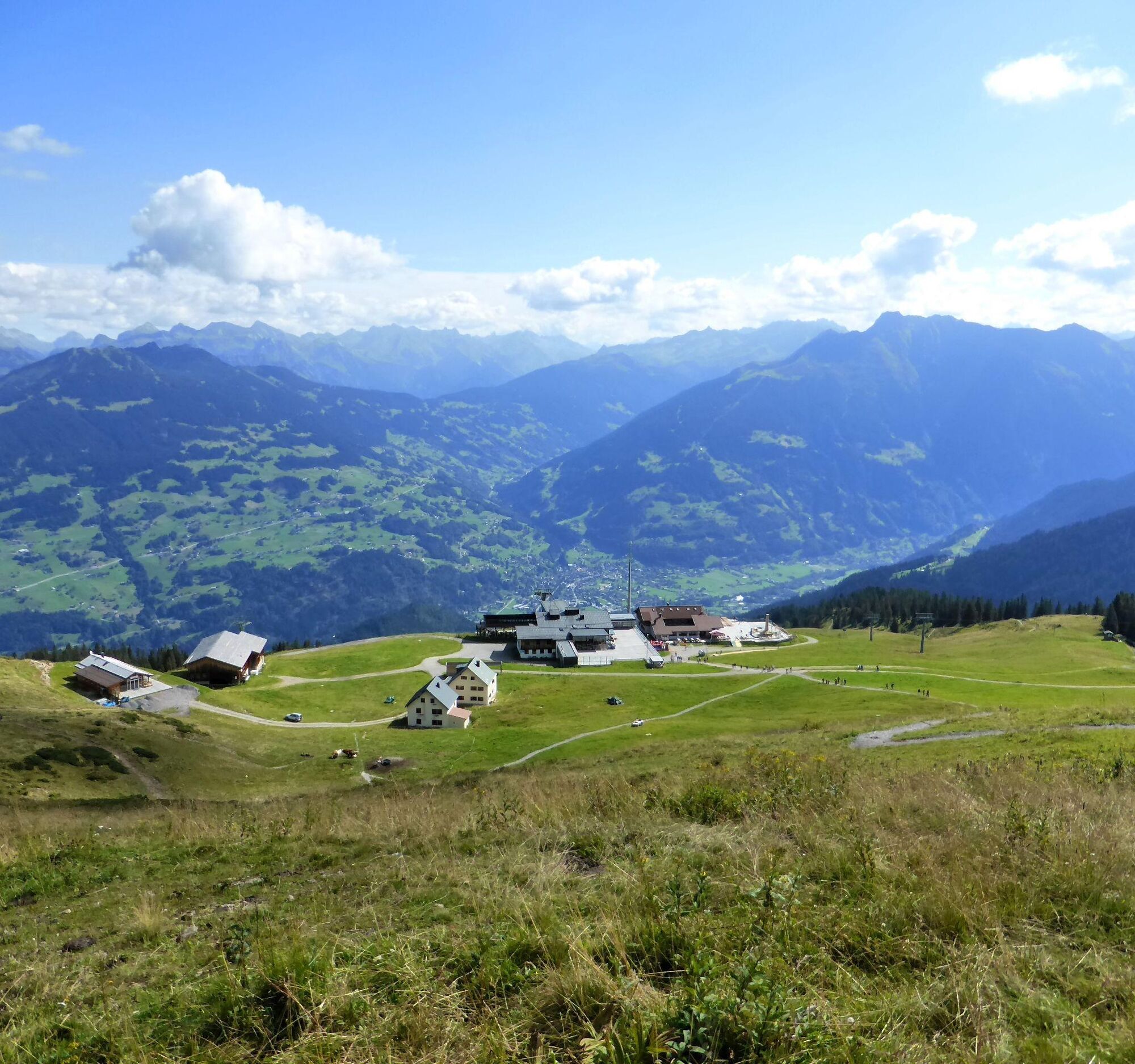
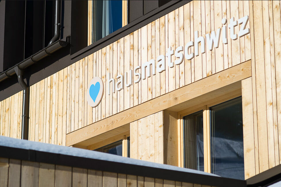
A last opportunity to stop before the highest point of the tour, the Grüneck mountain station, is offered by Haus Matschwitz in the idyllic maize hut settlement of the same name. The return route from Grüneck follows the well-known trail to Matschwitz and continues through the picturesque places Latschau, Ziegerberg, and Bitschweil (with the inviting Bitschweil inn), until you finally reach Aktivpark Montafon again.
Please note that descending into the Gauertal is not permitted. Careful treatment of nature and observance of the rules help preserve the uniqueness of this landscape.

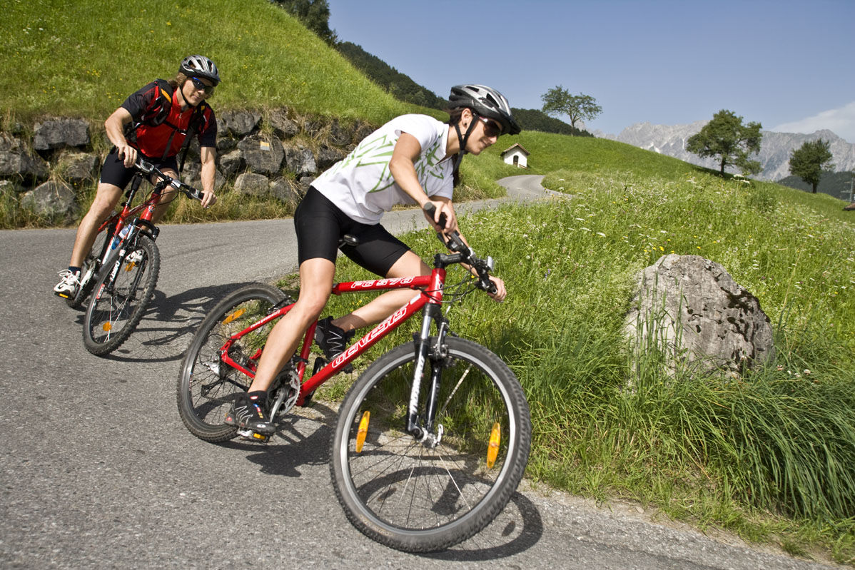
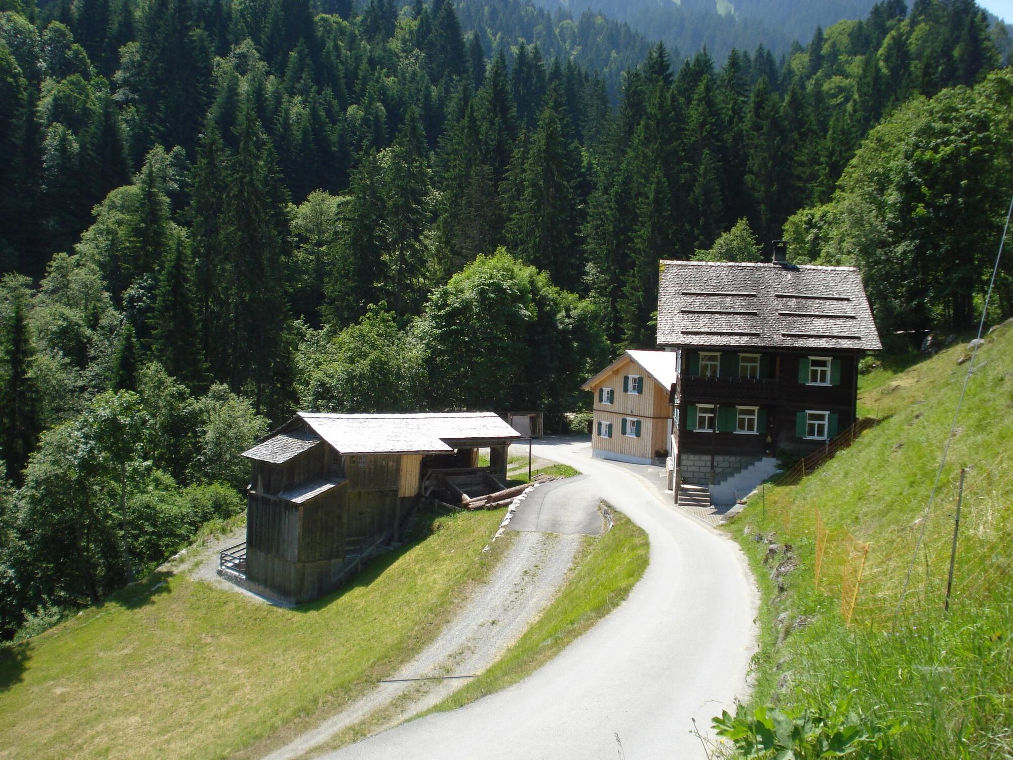
From Aktivpark Montafon in Schruns-Tschagguns you first ride comfortably on the cycle path towards Vandans. Here you turn onto the Ganeu service road, which takes you through forests, meadows, and past traditional maize huts. Shortly before the highest point of the route you reach Haus Matschwitz, an ideal place for a break. From there it continues to the Grüneck mountain station. The return route runs via the well-known path to Matschwitz and then takes you through Latschau, Ziegerberg, and Bitschweil back to the starting point at Aktivpark Montafon. Note that descending into the Gauertal is not allowed.
Spare battery, charger, bike helmet, day cycling backpack (approx. 20 liters) with rain cover, comfortable sports shoes, possibly cycling shoes, weather-appropriate and durable clothing in layers, possibly cycling jersey, possibly cycling gloves, pump, bike tools, sun and rain protection, provisions and drinking water, water bottle and suitable holder, first aid kit, pocket knife, mobile phone, possibly phone holder for the handlebar, possibly headlamp and reflectors, map material
EMERGENCY CALL: 144
112 Euro emergency call (works with any phone/network)
www.vorarlberg.travel/sicherheitstipps
Drive on the A14 to the Bludenz/Montafon exit and continue on Montafonerstraße L188 to Schruns. The federal road L188 leads you directly to Aktivpark Montafon, which is located on the right side of the road.
Just leave your car behind.
Arrival by train to Montafon
The Montafon Railway runs hourly (sometimes every half hour) from Bludenz station. There are also direct connections from Lindau (Germany) or from Bregenz.
Timetable: www.oebb.at
Aktivpark Montafon in Schruns-Tschagguns
2
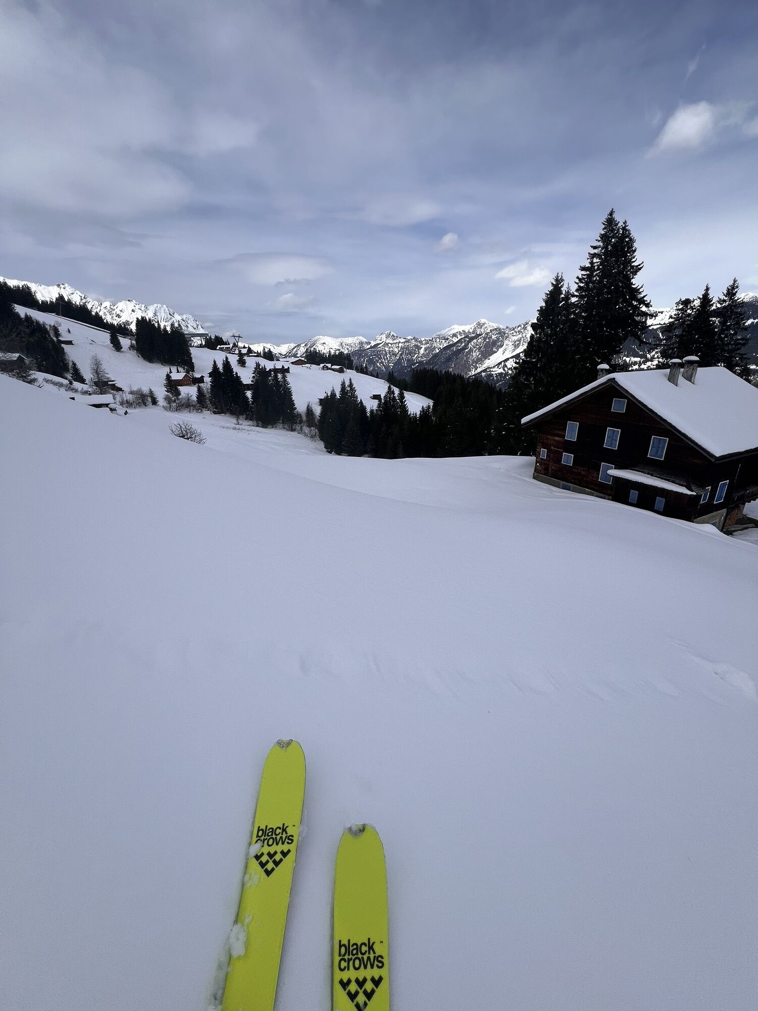
Use the stop at Haus Matschwitz to refresh yourself before you tackle the last ascent to the Grüneck mountain station.
Free Aktivkarte for (e-)mountain biking available at all Montafon tourist offices.
Kiertueen webbikamerat
-
Hochjoch Bahn Bergstation
-
Innerberg
-
Berghof Golm
-
Golm - Matschwitz
-
Panorama Bahn - Berg
-
Golm - Hüttenkopfbahn
-
Golm - Rätikonbahn
-
Bartholomäberg
-
Tschagguns
-
Schruns
-
Tilisunahütte
-
Tilisunahütte
-
Bartholomäberg - Ferienhotel Fernblick
-
Wormserhütte
-
Wormserhütte
-
Hueter Hütte
-
Hueter Hütte
-
Kapellbahn
-
Bartholomäberg
Suosittuja retkiä naapurustossa
-
4,7
Smuggler’s path
mediumTeemareitti 8,60 km -
4,9
Bürs, Bürserschlucht Bürs, Vorarlberg
mediumVaellus 5,31 km -
5,0
Douglasshütte, Lünersee, Gafalljoch Brand bei Bludenz, Vorarlberg
valoVaellus 9,16 km -
4,5
Muttersberg - Fraßenhütte - Fraßen - Tiefenseesattel Nüziders, Österreich
mediumVaellus 10,1 km -
4,4
Golm-Rundwanderweg im Rätikon
mediumTeemareitti 7,28 km -
5,0
Ski tour to the Lindauer Hut (1,744 m)
valoSkitour 14,0 km -
4,8
Kristberg - Wasserstubental - Silbertal
valoVaellus 13,8 km -
4,3
Golmer, Höhenweg und Golmer Seenrundweg
mediumVuoristovaellus 7,62 km -
4,8
From Latschau through the Gauertal to the Lindauer Hütte
mediumLumikenkä 14,0 km -
3,5
Golmer Höhenweg
mediumVaellus 13,8 km
Vaellus & jäljitys


Älä jää paitsi tarjouksista ja inspiraatiosta seuraavaa lomaasi varten.
Sähköpostiosoitteesi on lisätty postituslistalle.