


Col de Champex (Bovernier) – Legendary Mountain Passes


In just a few kilometres, this route offers the chance to enjoy a variety of natural settings, including prairies, forests and alpine panoramas. It makes for a challenging climb, though, so you'll need...
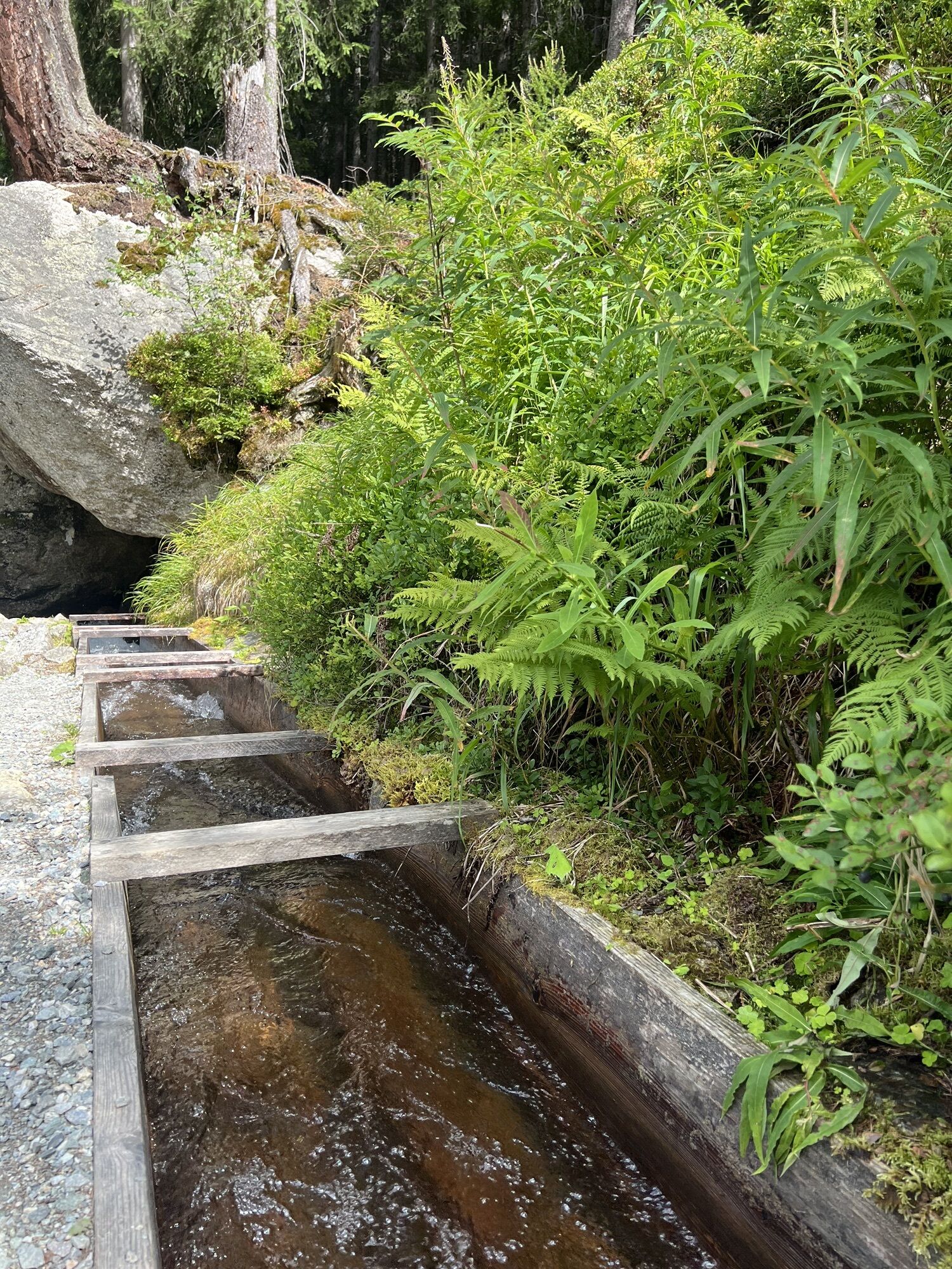
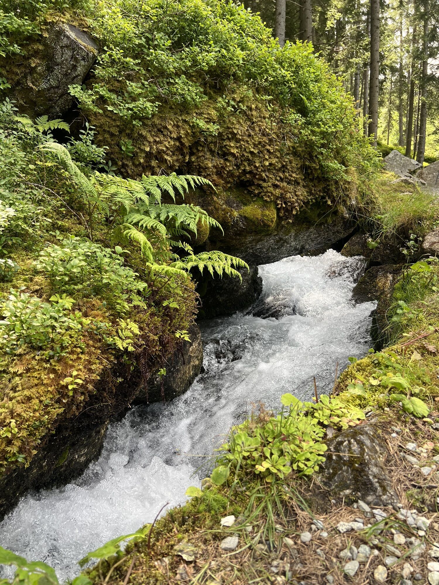
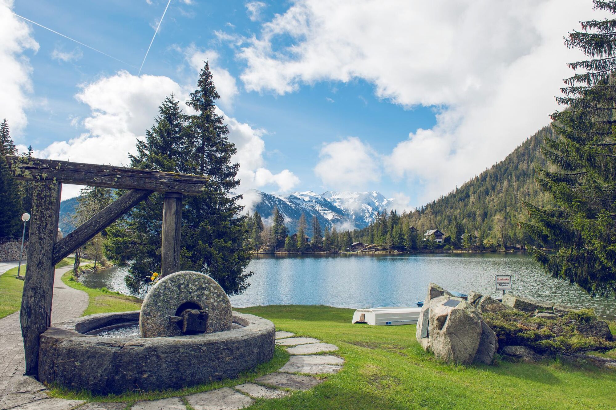
In just a few kilometres, this route offers the chance to enjoy a variety of natural settings, including prairies, forests and alpine panoramas. It makes for a challenging climb, though, so you'll need to be in good physical shape to tackle it. Starting from Bovernier, the route passes through the Durnand gorges during its first few kilometres before climbing gradually towards Champex and offering a superb panoramic view dominated by the Catogne and Mont Dolent. At the summit, the village of Champex-Lac will invite you to stop for a well-deserved break.


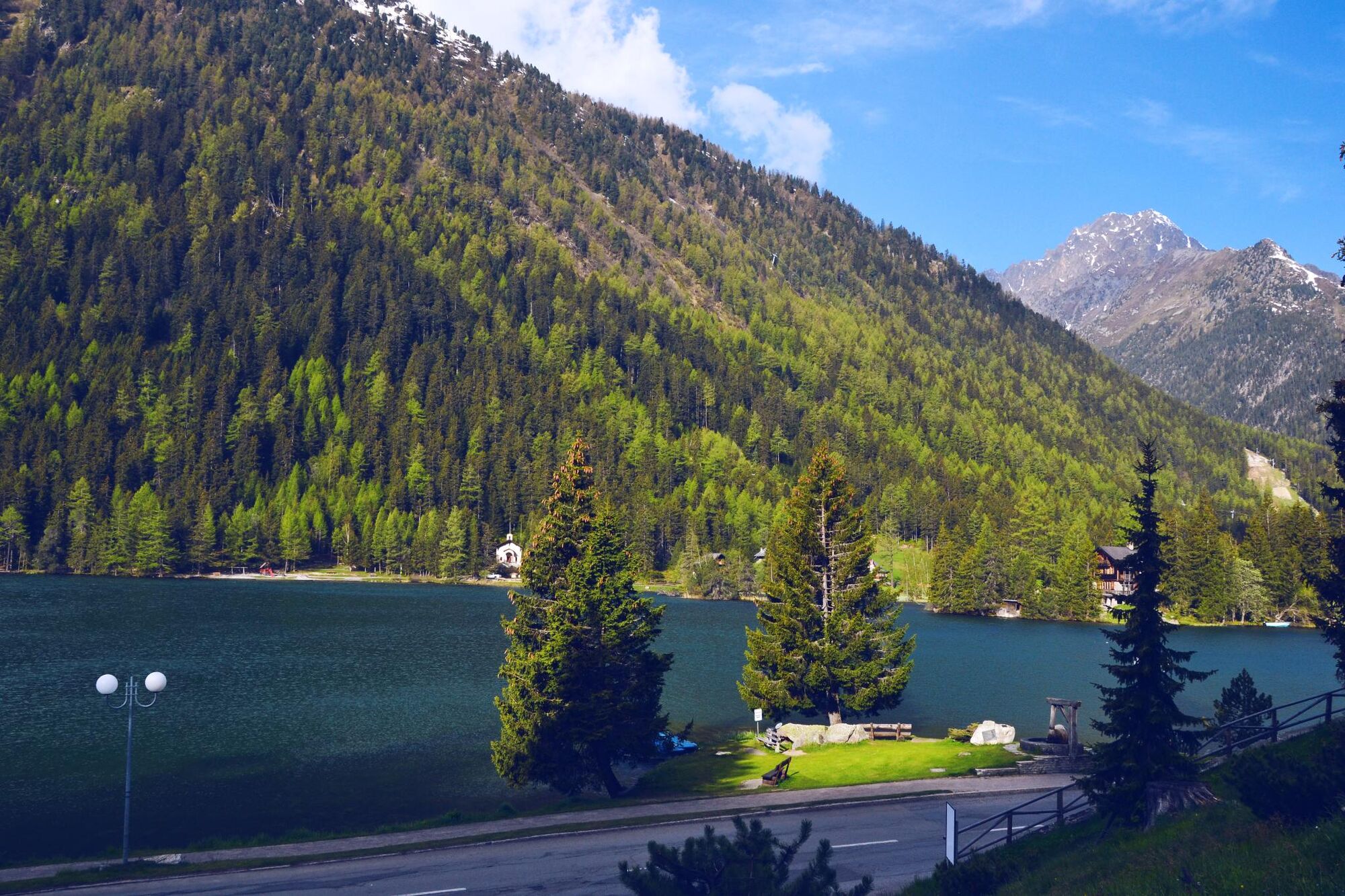
The Valais cycling signpost marking the start of the route is at the intersection of the Route des Valettes main road and the Route de Champex, at the heart of the municipality of Bovernier. Follow the Valais cycle signs for 10.7 kilometres along a quiet road featuring numerous bends. Once you arrive in the village of Champex d’en Bas, continue straight ahead until you reach the car park for the Champex-Lac ski lifts and the Col de Champex.
We recommend: bike in excellent working order, helmet, gloves and bell, clothing suitable for the weather (always carry a waterproof), food and drink.
Strictly respect the Swiss traffic rules. Please note that you are running the tour at your own risk and all liability is refused. Please be considerate to plants and animals. For your own safety, wear an helmet every time you ride a bike.Emergency numbers: 144 Ambulance / 117 Police / 1414 Helicopter Rescue (Rega).
When planning, take into account participants’ fitness level and ability. All riding is at one’s own risk.
Take the E27 via the Martigny/Grand St. Bernard exit. At the roundabout, continue straight ahead in the direction of the Col du Grand St. Bernard.
Travel to Bovernier via the SBB Lausanne-Brig line and the Transport Martigny Région line.
Parking available at Bovernier train station.
More information :MartignyPays du Saint Bernard
Visit the alpine botanical garden in Champex-Lac and learn more about local flora and medicinal plants.
Suosittuja retkiä naapurustossa
-
Tour du Grand Chavalard
mediumVaellus 14,9 km -
From Savoleyres to Lac des Vaux mountain lake
mediumVaellus 14,0 km -
3,5
Lac d'Emosson - Gorge de la Veudale - Col de la Terrasse - Lac du Vieux Emosson zurück nach Lac d'Emosson
mediumVaellus 14,3 km -
Six blanc depuis Cabine
mediumSkitour 5,85 km -
5,0
Super mooi
raskasVaellus 11,1 km -
Valais Cycling Tour: Verbier - Champéry (stage 8)
raskasPyöräily 105,5 km -
Via Guigonae et Anselmi
mediumTeemareitti 9,27 km -
Trient Valley Tour
raskasMaastopyörä 52,6 km -
Tour du Mont-Blanc Bike: Champex - Grand Col Ferret
raskasMaastopyörä 27,2 km -
5,0
Goldtoni - Alpenbogen A062 Le Buet-Relais d'Arpette
raskasPitkän matkan vaellusreitti 23,5 km
Vaellus & jäljitys


Älä jää paitsi tarjouksista ja inspiraatiosta seuraavaa lomaasi varten.
Sähköpostiosoitteesi on lisätty postituslistalle.