


Flößerpfad Kinzigtal


Kuvia käyttäjistämme
-

 © Ralf UmmingerLuotu 02.07.2022
 -
 © Ralf UmmingerLuotu 02.07.2022
 -
 © Ralf UmmingerLuotu 02.07.2022
 -
 © Ralf UmmingerLuotu 02.07.2022
 -
 © Ralf UmmingerLuotu 02.07.2022
 -
 © Ralf UmmingerLuotu 02.07.2022
 -
 © Ralf UmmingerLuotu 02.07.2022
 -
 © Ralf UmmingerLuotu 02.07.2022
 -
 © Ralf UmmingerLuotu 02.07.2022
 -
 © Ralf UmmingerLuotu 02.07.2022
 -
 © Ralf UmmingerLuotu 02.07.2022
 -
 © Ralf UmmingerLuotu 02.07.2022
 -
 © Ralf UmmingerLuotu 02.07.2022
 -
 © Ralf UmmingerLuotu 02.07.2022
 -
 © Ralf UmmingerLuotu 02.07.2022
 -
 © Ralf UmmingerLuotu 27.02.2021
 -
 © Ralf UmmingerLuotu 27.02.2021
 -
 © Ralf UmmingerLuotu 27.02.2021
 -
 © Ralf UmmingerLuotu 27.02.2021
 -
 © Ralf UmmingerLuotu 27.02.2021
 -
 © Ralf UmmingerLuotu 27.02.2021
 -
 © Markus LinderLuotu 12.02.2024


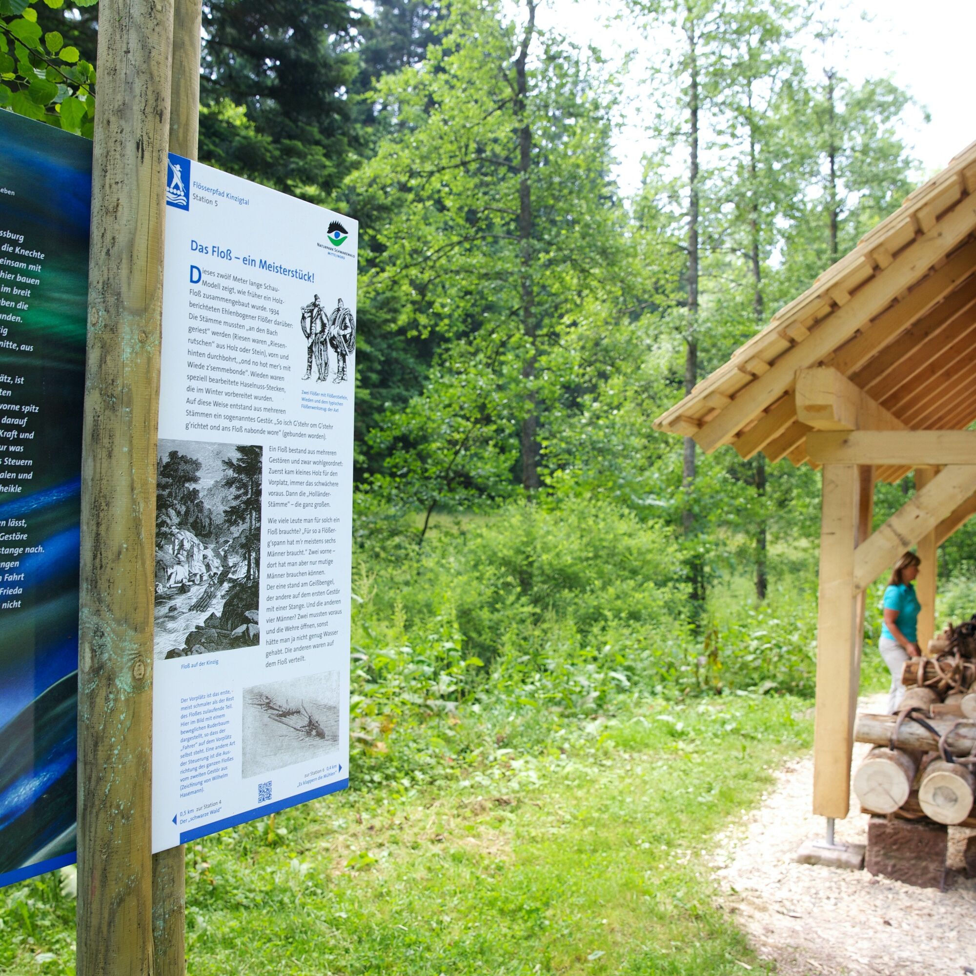
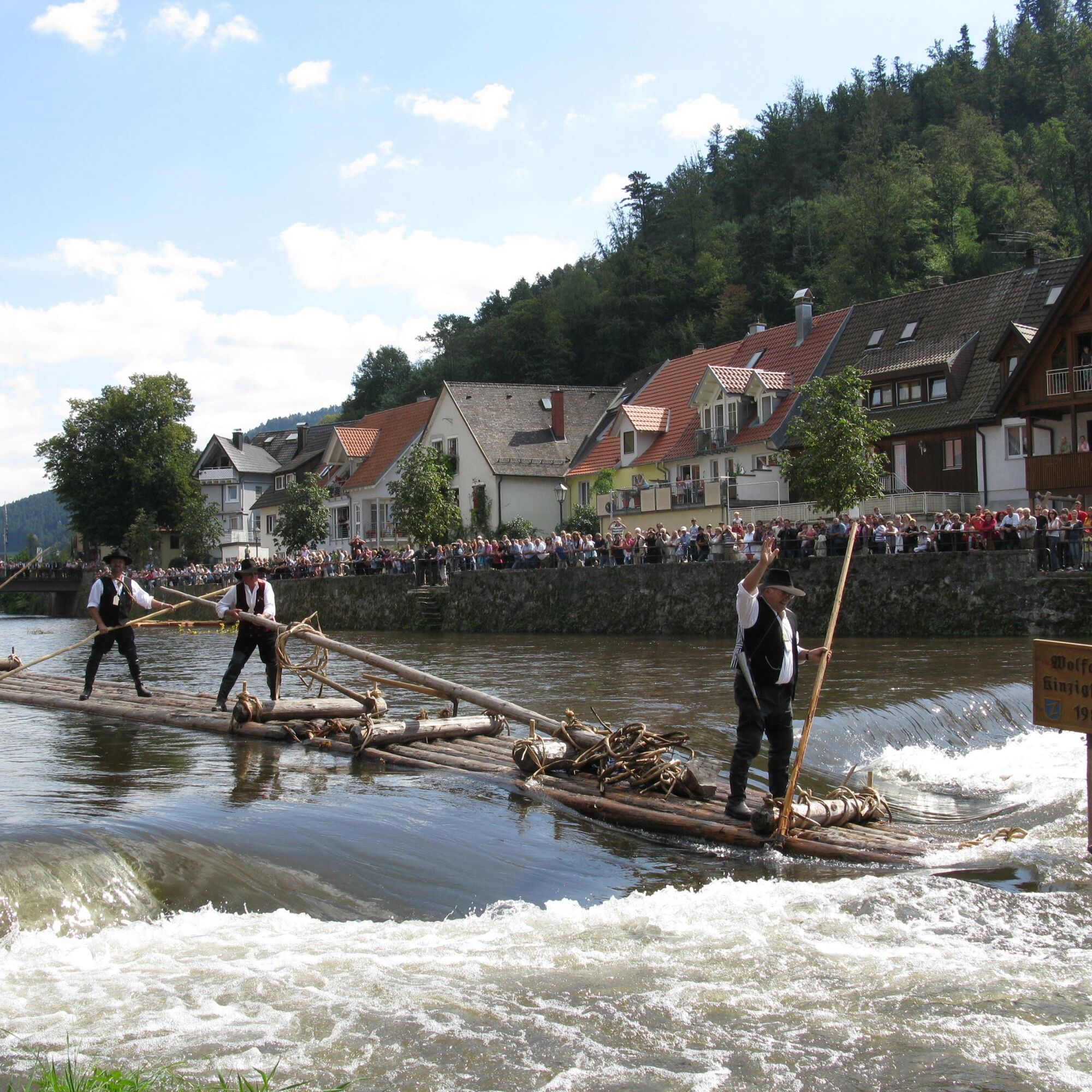
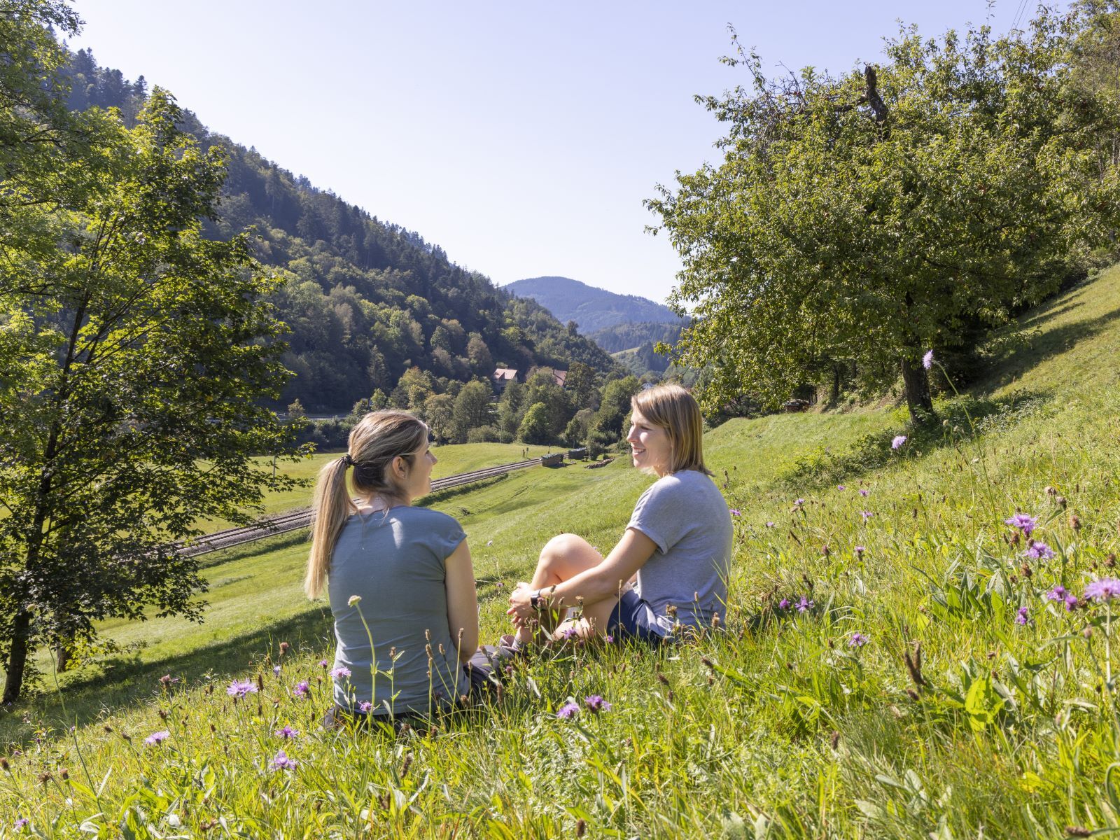
Accompany timber raftsman Johann and his son Uli on their "journey into the country" or learn about the simple life of farmers and forest workers in the Kinzig valley with servant Jakob and Michel, the...
Accompany timber raftsman Johann and his son Uli on their "journey into the country" or learn about the simple life of farmers and forest workers in the Kinzig valley with servant Jakob and Michel, the son of a forest worker.
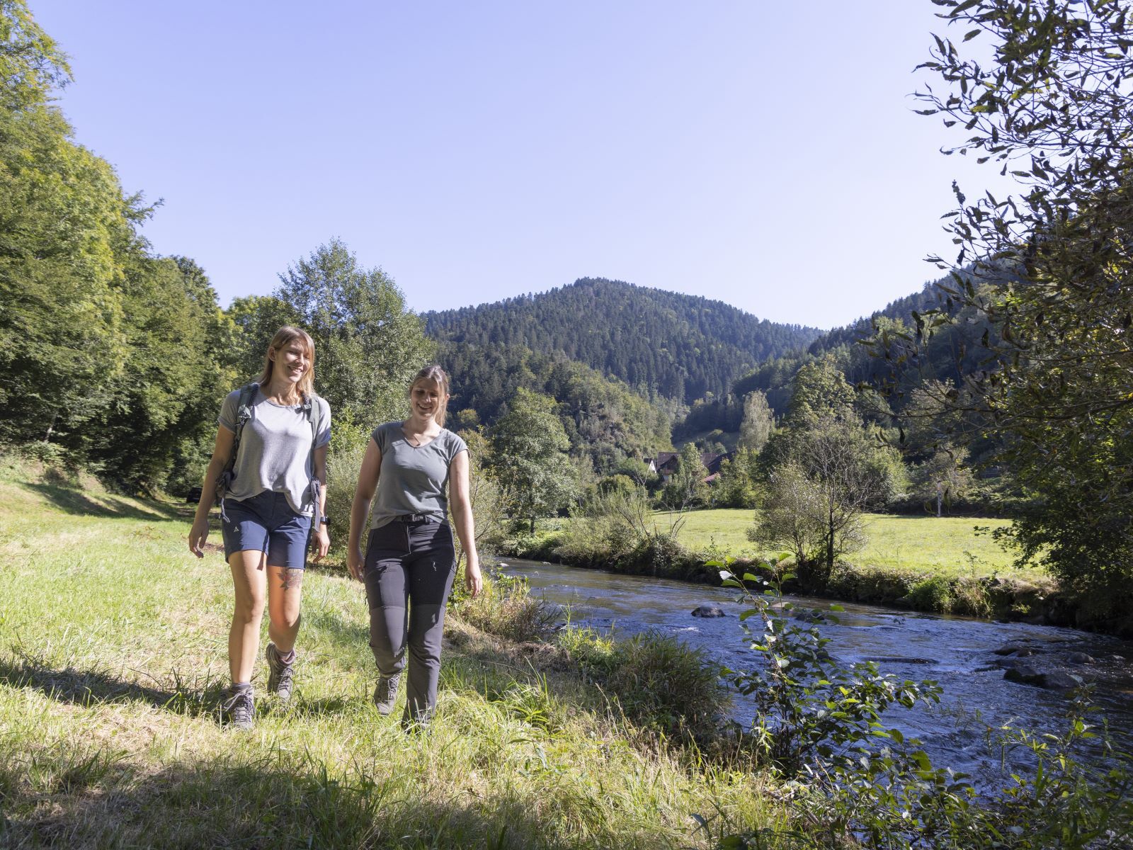
The Flößerpfad is about 33 kilometers long and can be nicely divided into two sections: From Lossburg to Alpirsbach (approx. 11 km) and from Alpirsbach to Wolfach (approx. 22 km).
If you are looking for more information about timber rafting: In all tourist information offices along the route and selected sales points, you can get the Flößer booklet - a companion guide to the Flößerpfad - with numerous additional information and the stories of Johann and Jakob.
Detailed travel information is available at www.floesserpfad.de.
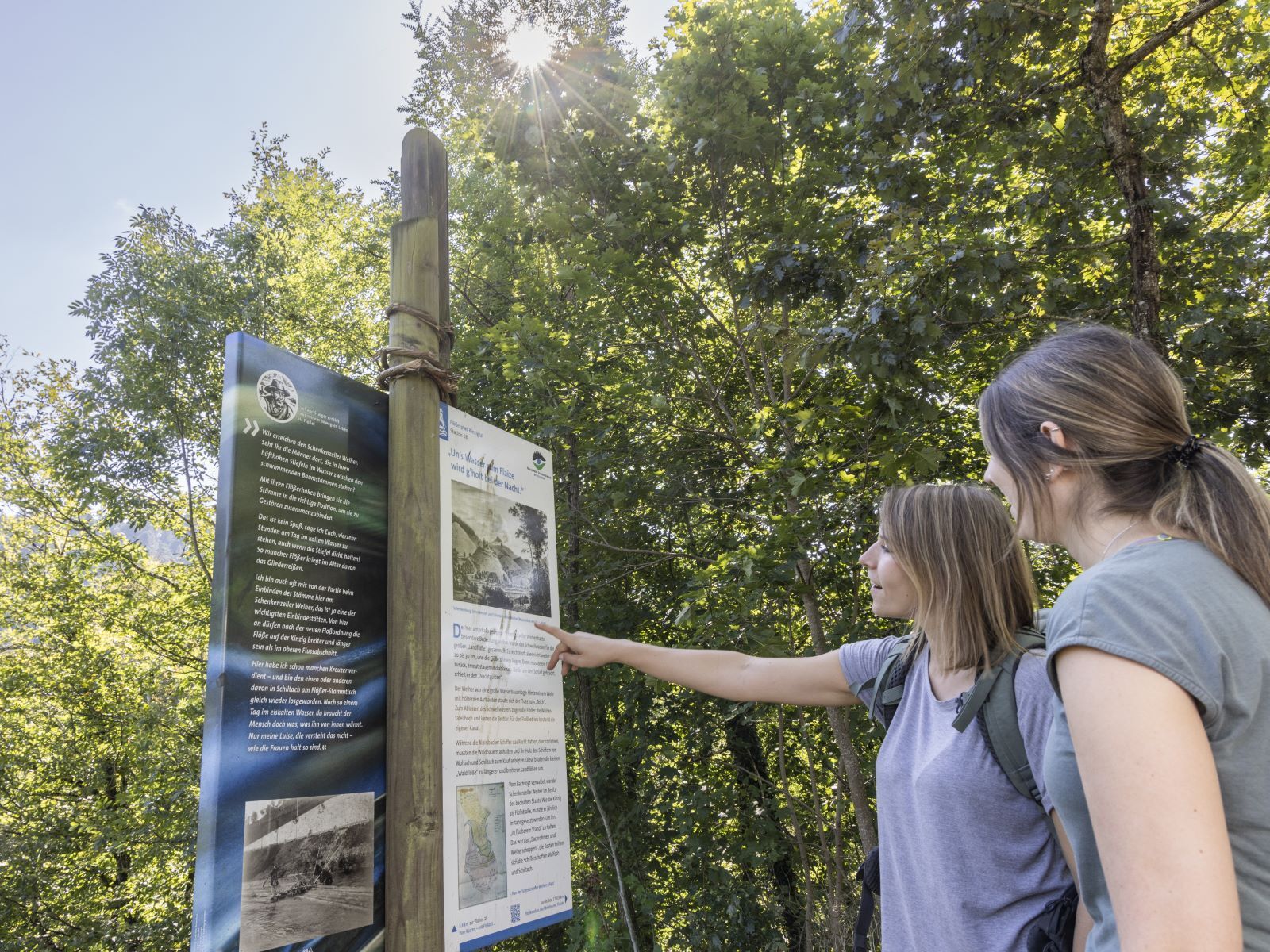
Audio guide for children and adults
Do you want to learn about the life of the people at that time "first-hand"? Various protagonists accompany you on the journey. In the first section between Lossburg and Alpirsbach, you listen to the entertaining stories of servant Jakob and young Michel. In the second section between Alpirsbach and Wolfach, you travel with timber raftsman Johann and his son Uli and hear how the two speed down the Kinzig and what they have to tell!
The audio guides are available in two versions: one for children with the narration by Michel and Uli, and one for adults with the narration by servant Jakob and timber raftsman Johann. Download the MP3 files via QR codes or at www.floesserpfad.de.
Accessibility – Flößerpfad for all
The Flößerpfad is suitable for all hikers and walkers. Thanks to the good connection to the Kinzig Valley Railway, which can be used easily with strollers and wheelchairs, many sections are possible. Between Halbmeil and Wolfach the Flößerpfad is fully accessible. With a stroller or mild restrictions, further sections can also be used.
More information on accessibility is available at www.floesserpfad.de.
Tourist info contact details
Lossburg-Information
in the KinzigHaus
Hauptstraße 46
72290 Lossburg
Tel: 07446 9504 0
www.lossburg.de
Town information Alpirsbach
Krähenbadstr. 2
72275 Alpirsbach
Tel: 07444 9516 281
www.alpirsbach.de
Tourist information Schenkenzell
Reinerzaustraße 12
77773 Schenkenzell
Tel: 07836 9397 51
www.schenkenzell.de
Tourist information Schiltach
Market square 6
77761 Schiltach
Tel: 07836 5850
www.schiltach.de
Tourist information Wolfach
Hauptstraße 41
77709 Wolfach
Tel: 07834 8353 53
www.wolfach.info
Visit our website at www.floesserpfad.de!


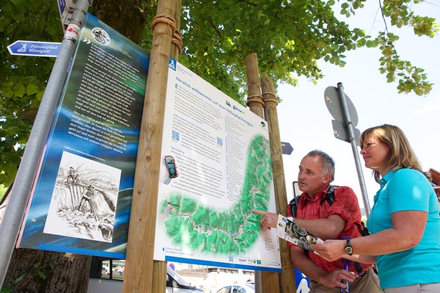
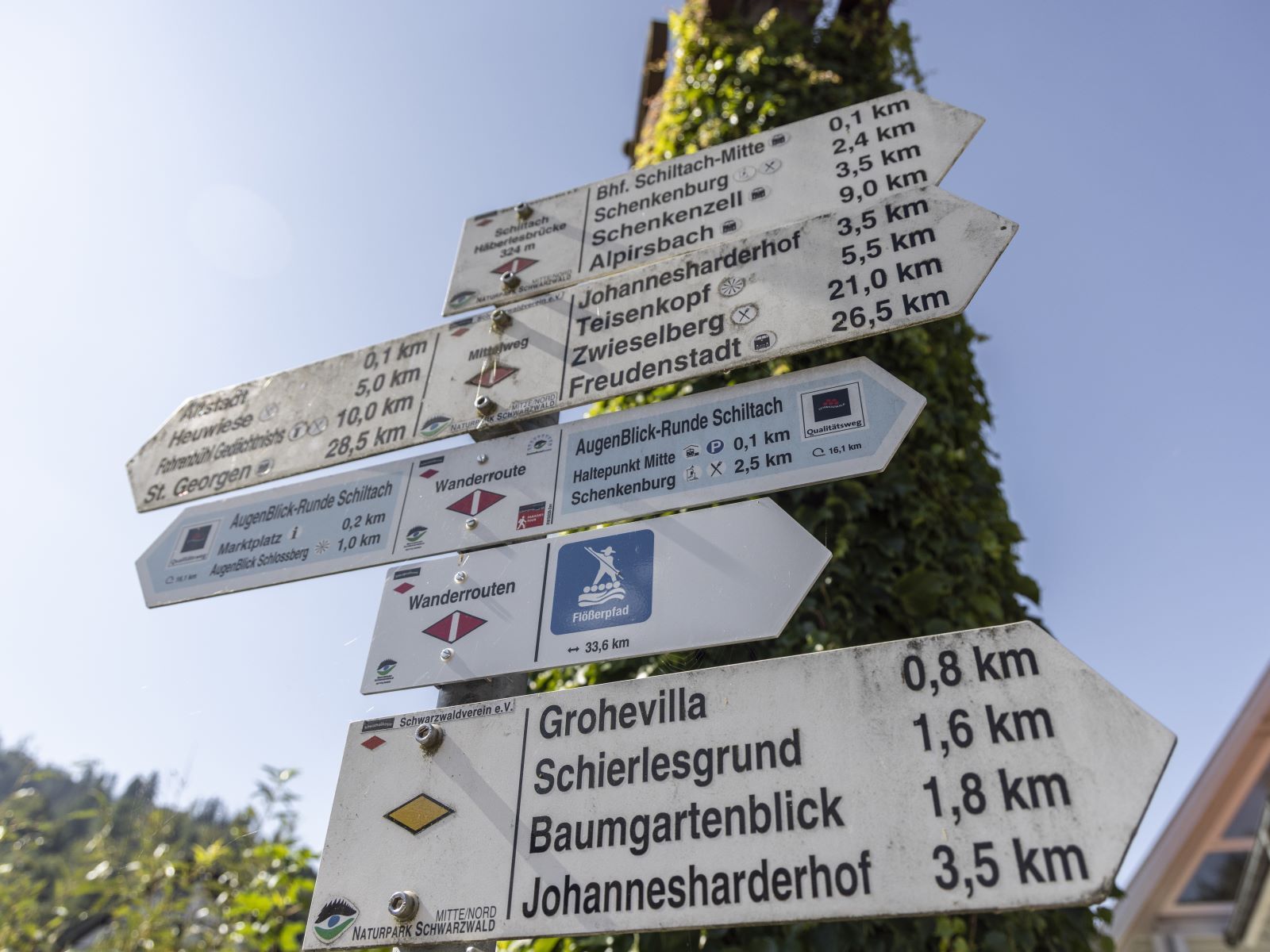
Signage:
The signage of the Flößerpfad is integrated into the signage of the Schwarzwaldverein. That means at junction points of hiking trails you will find route signposts of the Flößerpfad under the destination signposts of the Schwarzwaldverein. In between, simply follow the corresponding diamond-shaped signage of the Schwarzwaldverein.
Route course:
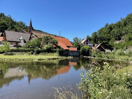
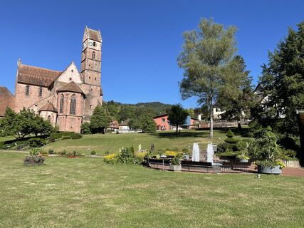
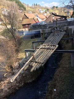
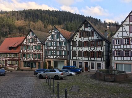
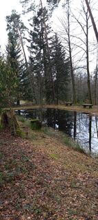
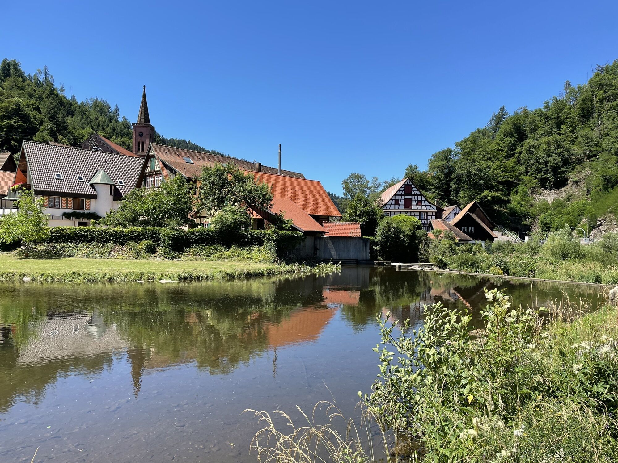
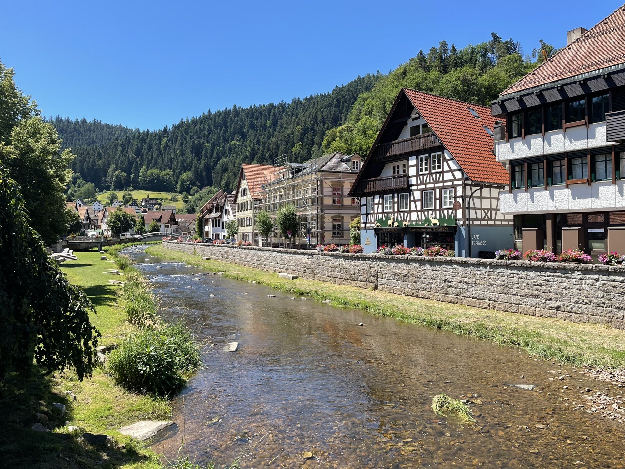
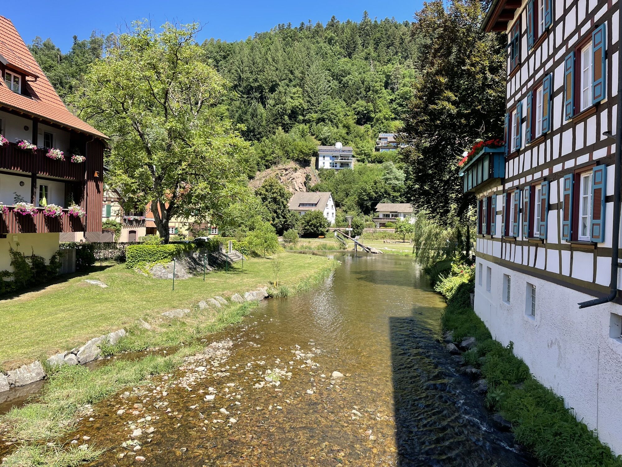
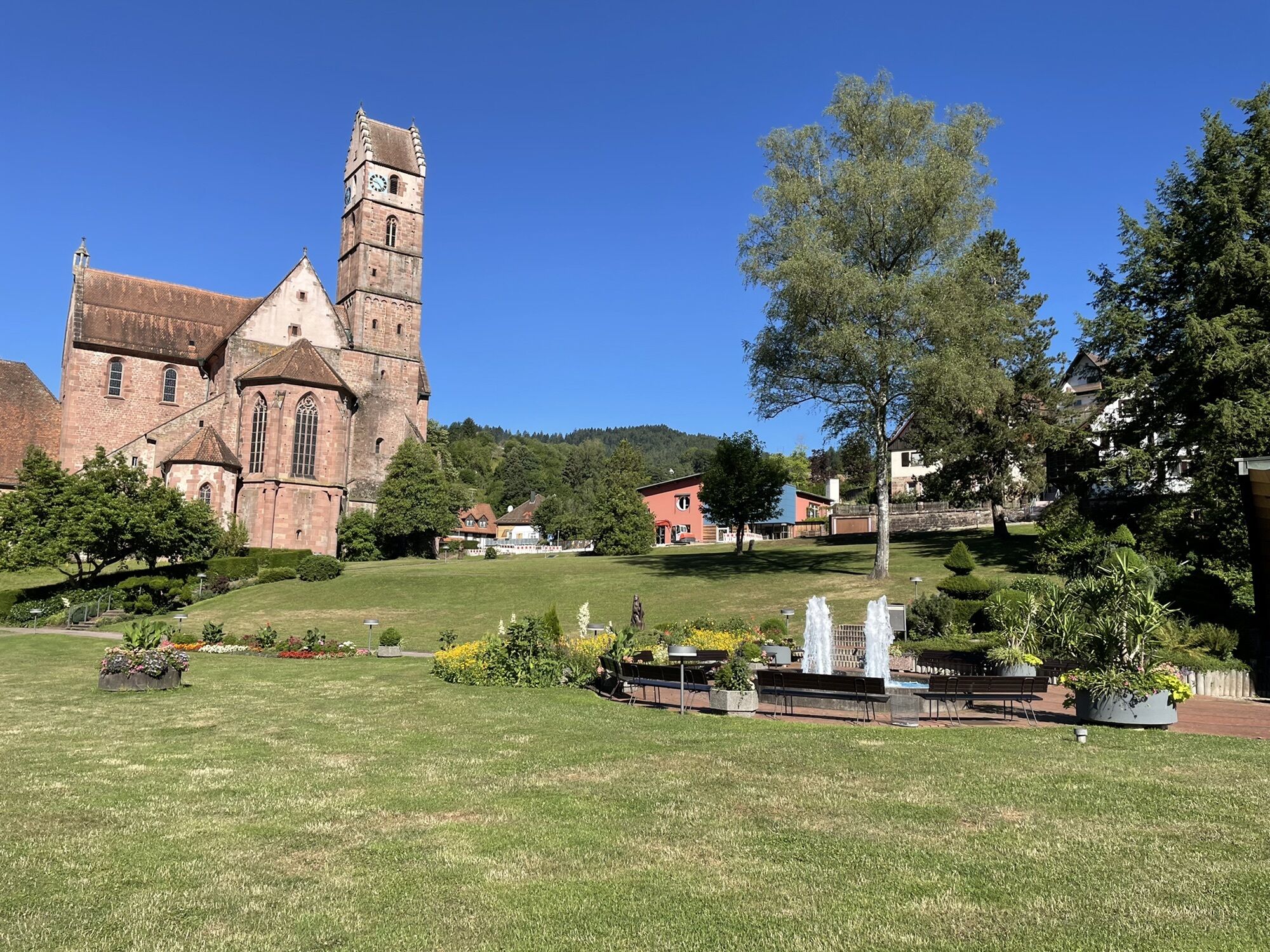
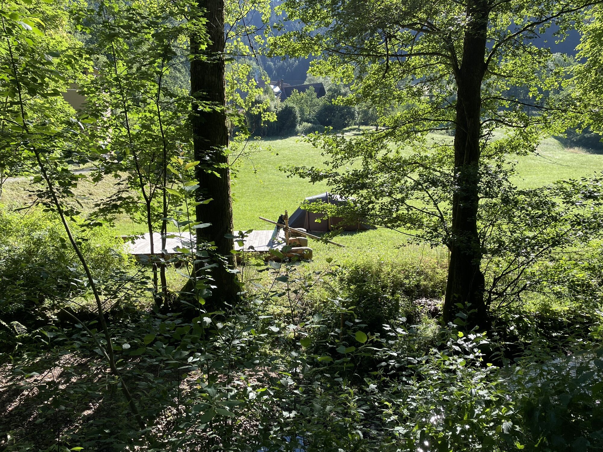
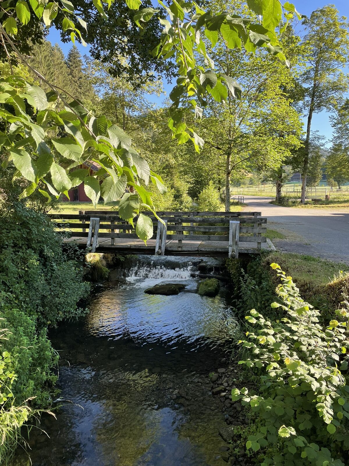
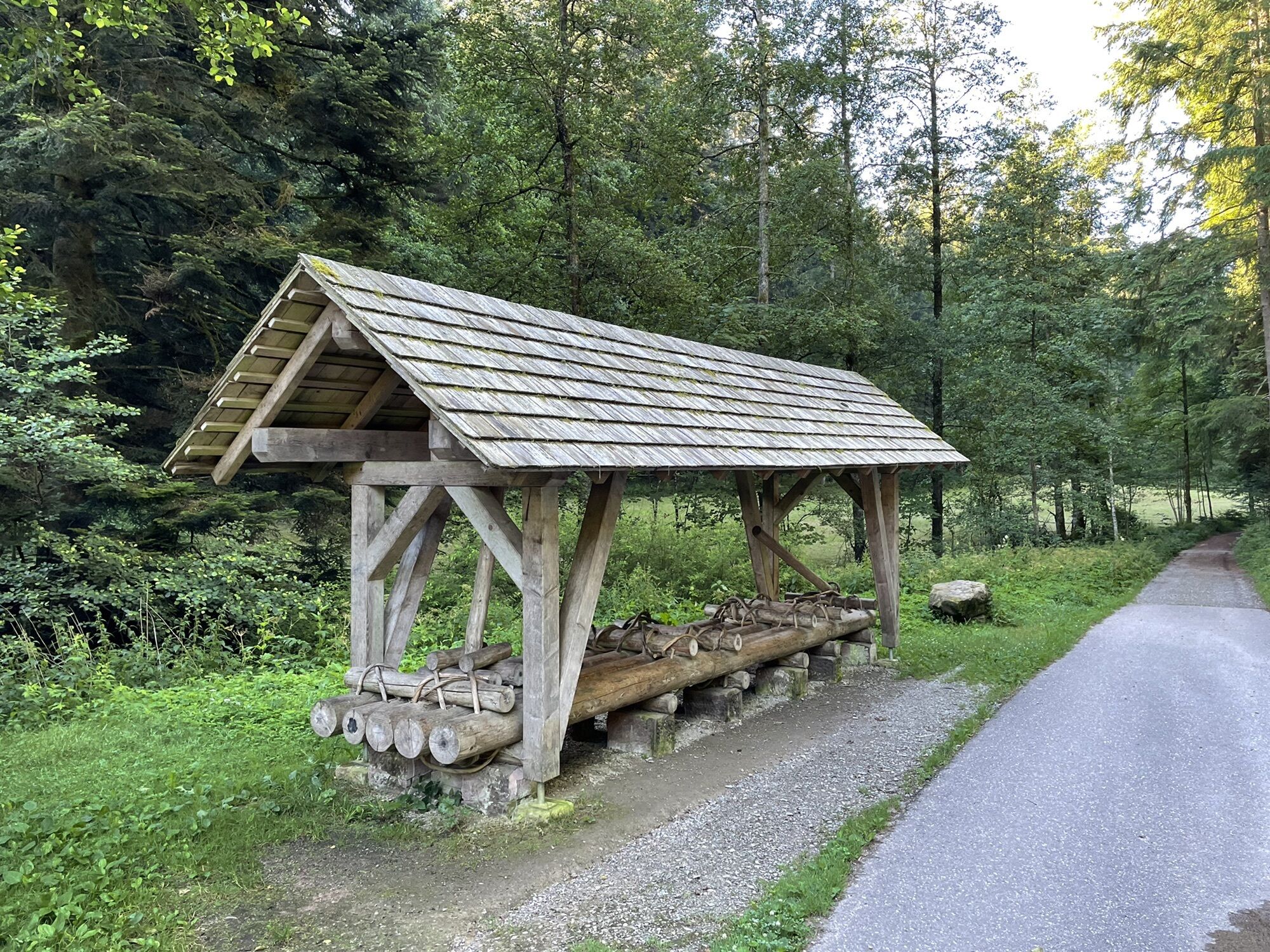
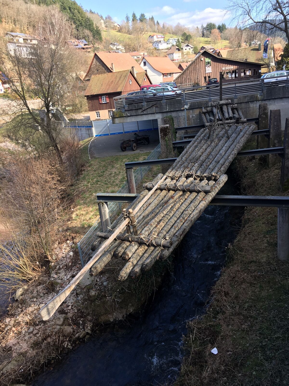
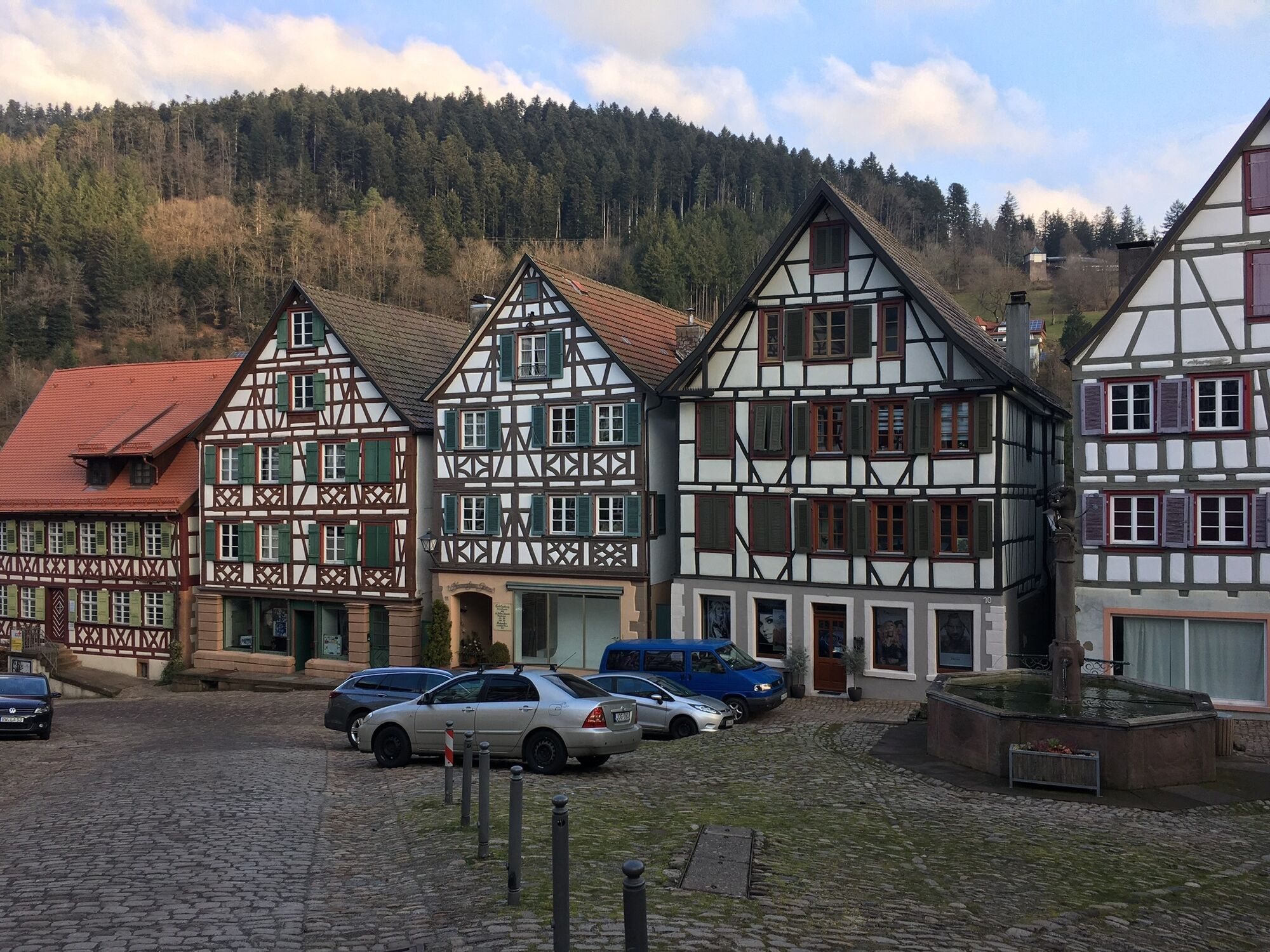
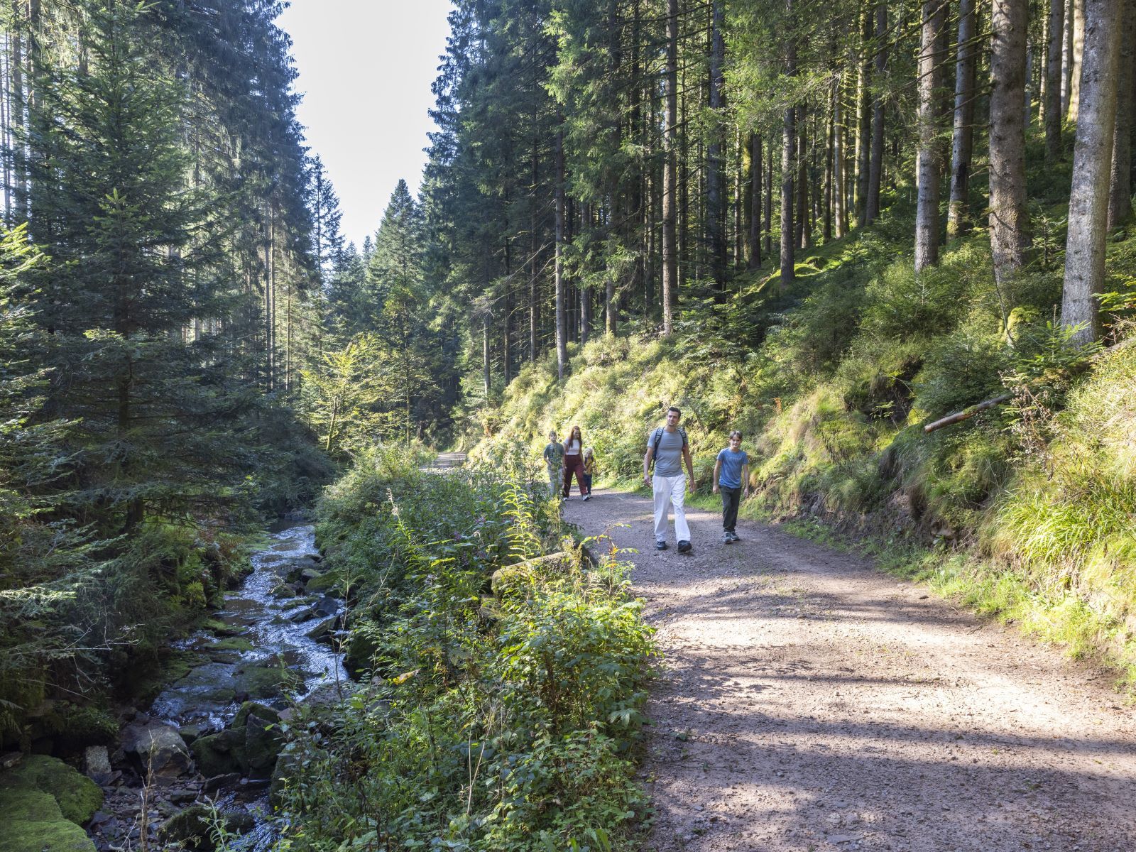
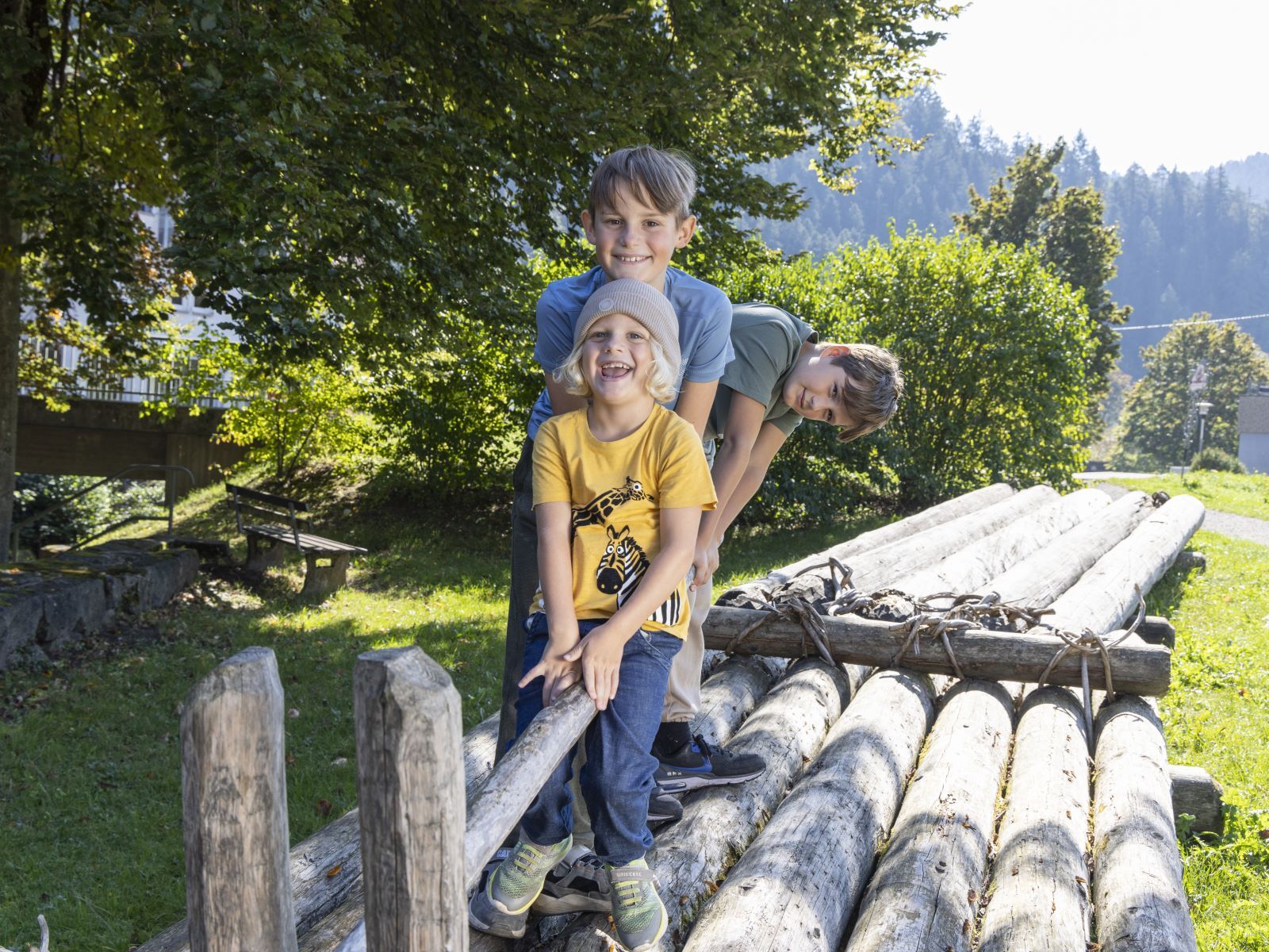
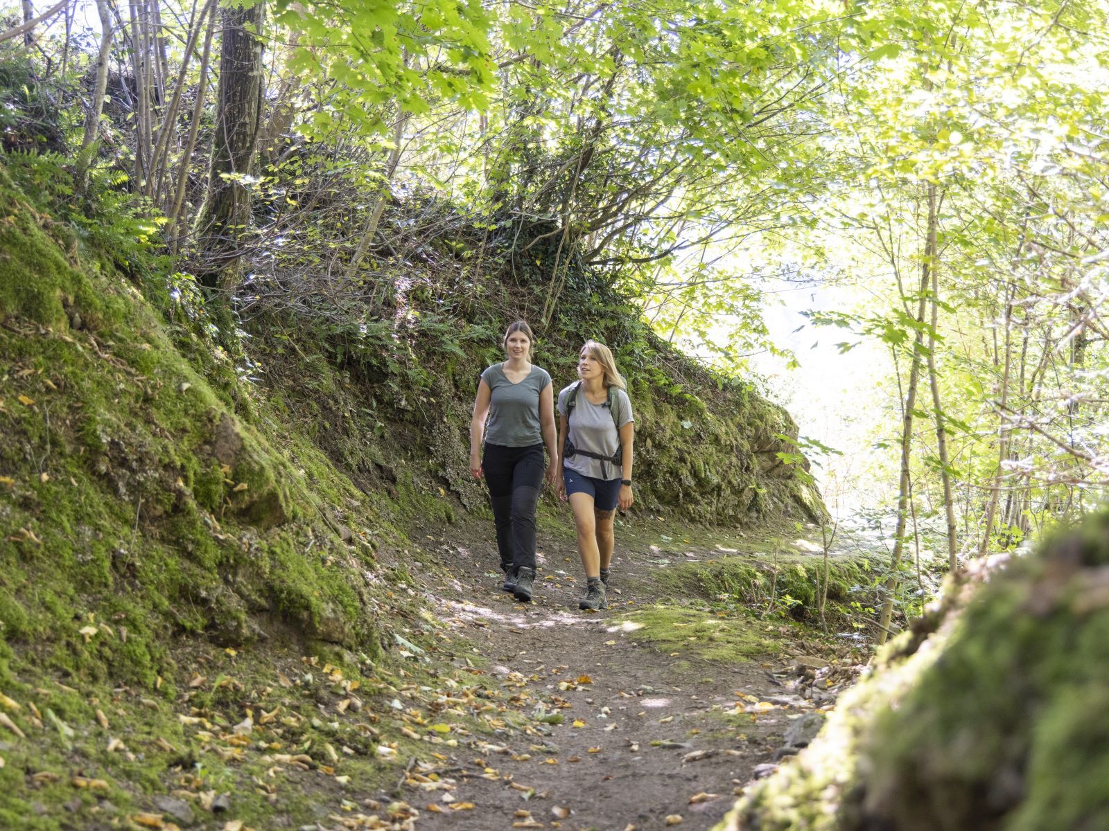
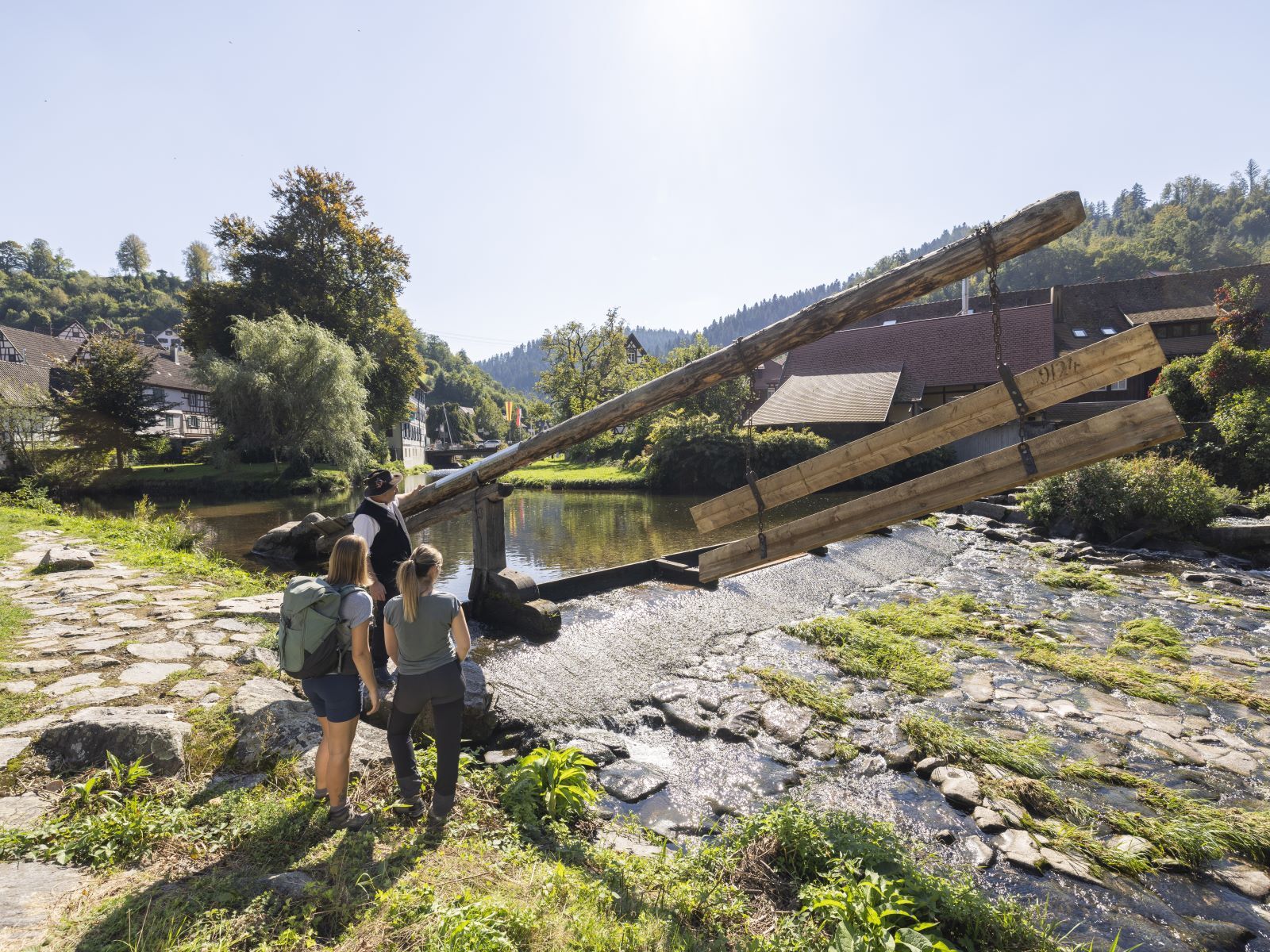
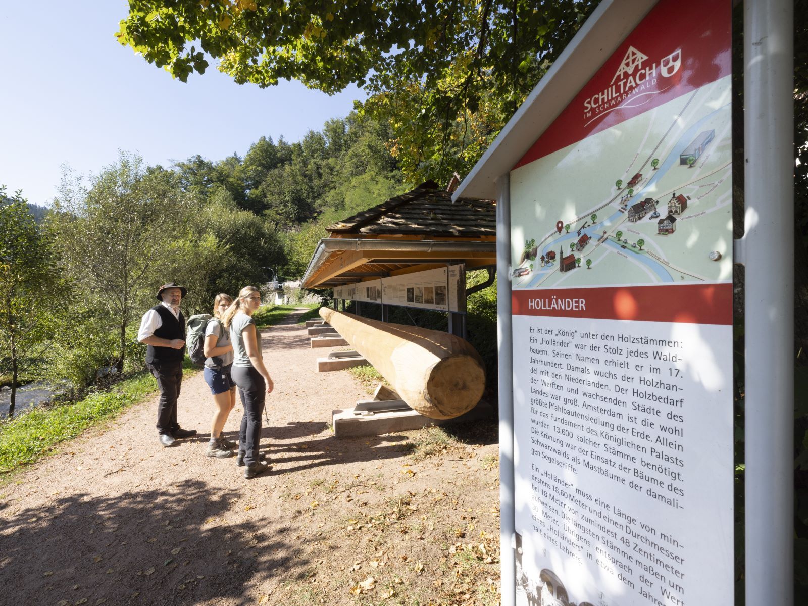
The Flößerpfad Kinzigtal starts at the Lossburg outdoor pool. Additionally, the route from Lossburg train station to the outdoor pool is also signposted. From Lossburg, it first goes downhill through the forest on attractive, mostly gravel paths directly along the Kinzig to Ehlenbogen. There the valley opens up and from here, the Flößerpfad mostly runs on paved paths. Although the path follows the Kinzig downstream, there are still some elevation meters to overcome. The path leads through an attractive open landscape with individual farms. The monastery town Alpirsbach, the end of the first section, invites you to linger. From here, the second section first goes flat through the suburbs of Alpirsbach. At the former Baden-Württemberg border, there is an ascent to overcome; this is followed by a descent back to the river and onward to the Hängender Stein, a natural monument. Schenkenzell is now not far away, and from a distance you have a wonderful view of the idyllic Black Forest town. Over former timber floating weirs you reach the Schenkenzell train station. From here, it goes up to the worthwhile ruins of Schenkenburg and further to Schiltach, where numerous guesthouses await the hiker. The recreational area "Vor Kuhbach" and the Flößerwiese also invite you to rest. The Flößermuseum Schüttesäge in Schiltach is definitely worth seeing. The route continues varied to Wolfach, sometimes on paved, sometimes on unpaved paths, sometimes uphill, sometimes downhill. The hiker is repeatedly surprised with rewarding views into the beautiful Kinzig valley. From Halbmeil, the first suburb of Wolfach, the Flößerpfad is finally barrier-free developed. On wide asphalt paths, it mostly goes flat to Wolfach, the destination of the Flößerpfad. The Flößermuseum here is also definitely worth seeing, as well as the Flößerpark with an originally reconstructed Wiedenofen and rest and relaxation opportunities directly at the confluence of the Wolf and Kinzig.
Kyllä
No special equipment is required for the Flößerpfad.
Coming from the A5, take the "Offenburg" exit, follow the B33 in the direction of "Villingen-Schwenningen" to Hausach, and from here the B294 towards "Freudenstadt." The Flößerpfad runs parallel to the B294, so you reach all five Flößerpfad communities directly - starting with Wolfach.
Coming from the A81 towards Stuttgart, take the "Horb" exit and follow the B28a towards Freudenstadt. Shortly before Freudenstadt, turn onto the B294 towards "Freiburg." The next town is Lossburg, and all other Flößerpfad communities follow along the B294.
Coming from the A81 towards Singen, take the "Rottweil" exit and follow the B462 towards Schramberg and then on to Schiltach. Shortly before Schiltach, turn right for Lossburg, Schenkenzell, and Schiltach town center and follow the signs. To get to Wolfach, drive straight through the tunnel.
All places along the Flößerpfad are connected to the Ortenau railway between Offenburg and Freudenstadt. Current timetables can be found at www.bahn.de.
Travel for free throughout the Black Forest with your KONUS guest card – of course also in the Kinzig valley! Ask your host or your tourist information.
Lossburg:
KinzigHaus, Hauptstr. 46, 72290 Lossburg
Zauberland an der Kinzig / Lossburg outdoor pool, Schömberger Str. 21, 72290 Lossburg
Alpirsbach:
Hiking car park Unterehlenbogen, Am Lohmühlebach, 72275 Alpirsbach-Ehlenbogen
Alpirsbach train station, Bahnhofstr. 10, 72275 Alpirsbach
Schenkenzell:
Schenkenzell train station, Bahnhofstr. 15, 77773 Schenkenzell
Schiltach:
Lehwiese car park, Am Hirschen 1, 77761 Schiltach
Schiltach train station, Bahnhofstr. 3, 77761 Schiltach
Wolfach:
Halbmeil train station, Schulstr. 7, 77709 Wolfach
Wolfach train station, Bahnhofstr. 1, 77709 Wolfach
Take the Flößerpfad audio guide on your journey and let timber raftsman Johann and his son Uli take you back in time.
Kiertueen webbikamerat
Suosittuja retkiä naapurustossa
-
4,7
Bad Peterstal-Griesbach - Himmelssteig für "Höhenverliebte"
raskasVaellus 10,3 km -
5,0
Wolfach settlers' loop large round
mediumVaellus 9,17 km -
4,0
Wolfach - To the ore mines at Hohberg
mediumVaellus 9,07 km -
Wolfach - On historic trails
raskasVaellus 13,5 km -
Kirnbacher Bollenhut Valley Route - "Karl-Wöhrle Path"
valoVaellus 3,69 km -
5,0
FREI.GANG Schiltach: Kleine Mosersteinrunde
raskasVaellus 24,0 km -
3,0
Lauterbach High Valley Circuit in the hiking paradise Alb - Black Forest
valoVaellus 10,7 km -
Rundwanderung zum Zwieselberg
mediumVaellus 17,2 km -
Wolfach - Around the Kinzigtal
mediumMaastopyörä 32,1 km -
Wolfach - Around the Kirnbach valley
raskasMaastopyörä 44,2 km

Vaellus & jäljitys


Älä jää paitsi tarjouksista ja inspiraatiosta seuraavaa lomaasi varten.
Sähköpostiosoitteesi on lisätty postituslistalle.