


Europe Circular Route Dobel


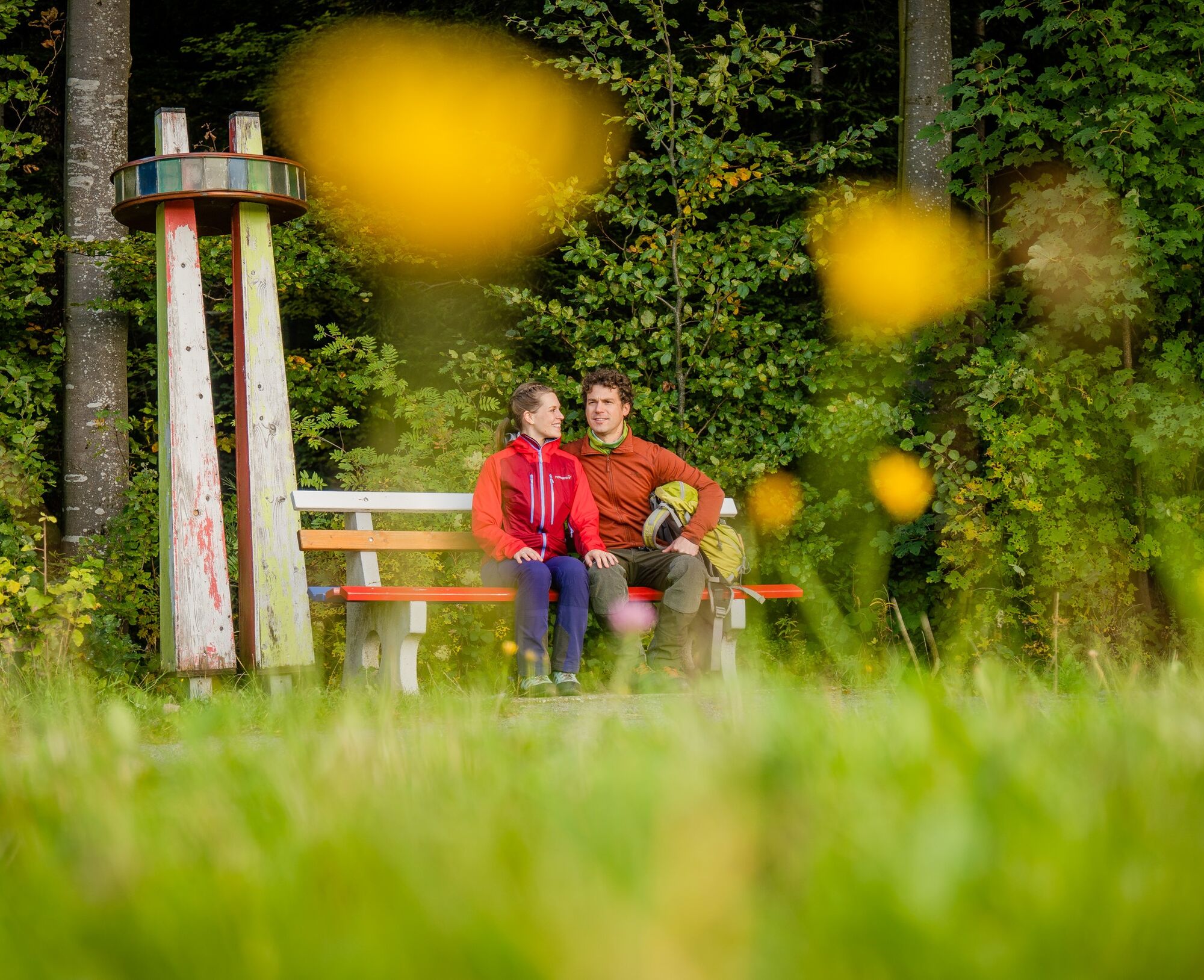
Circular route around Dobel, lined with benches in the colors of the EU member states, as well as Switzerland and Great Britain. The varied path leads over sunny meadow sections and through forest areas...
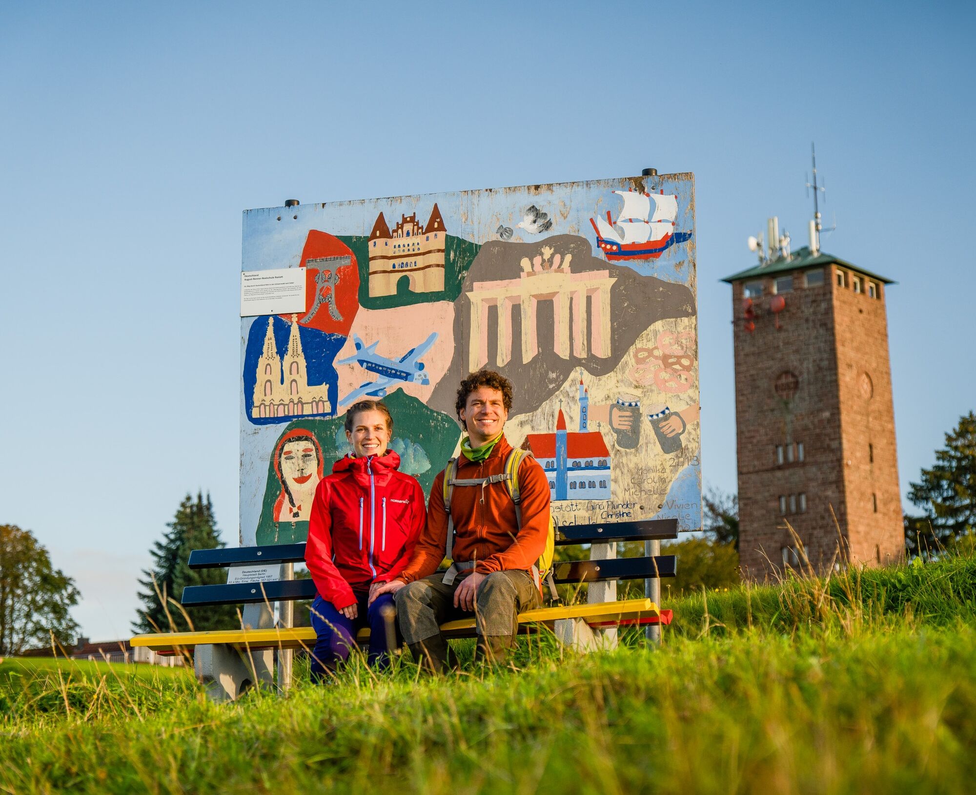
Circular route around Dobel, lined with benches in the colors of the EU member states, as well as Switzerland and Great Britain. The varied path leads over sunny meadow sections and through forest areas near the town. It provides insight into the Sunshine Island Dobel. A small detour to the observation tower offers panoramic views.
The route can be extended by the Engel-Weg and crosses the town and forest historical experience trails.
The path was initiated by Peter Schöffler.
After the Westweg gate, the star embedded in the ground shows the direction to the gently ascending Sonnenweg up to the Brenntenwaldweg. Along this path are the benches of BELGIUM, GERMANY, FRANCE, and LUXEMBOURG, which are 4 of the 6 founding members of the EU from 1957.
Turn left on Brenntenwaldweg to Höhenstraße. On this short section, on the left stands the bench of ITALY in green, white, red colors. From this stretch, there is a view of Albgau, the Rhine plain, and on clear days even to the Vosges and Palatinate Forest.
On Höhenstraße, left about 100 m to the Dobel yard. There, turn sharply right into the forest onto the descending Westweg, where on the right side are also the benches of the NETHERLANDS and DENMARK. At the crossroads with the distinctive GREAT BRITAIN bench, turn sharply east on a flat path to the forest edge. On the left path edge are the benches of IRELAND and GREECE. On this section, elements of the Dobel "Forest Spirits Path" can also be seen.
A nice shady spot is the PORTUGAL bench under the chestnut tree standing in the middle of the intersection.
From there, the ERW leads on the most frequented Dobel promenade, the Mannenbachheideweg, over the Mannenbachheide with its vegetation typical for poor meadows and the stone walls grown with broom, to the pine tree group and the "Jägerbrunnen" parking lot.
Along this approximately 1km long sunny path are benches of GREECE, FINLAND, SWEDEN, and AUSTRIA on the right and left.
At the Jägerbrunnen parking lot stands the 2nd EU bench with 27 stars and the abbreviations of the EU countries. The route can be started here in both directions.
A short, gently ascending section on the paved Wildbader Straße towards the forester’s lodge follows. To the right at the forest edge stands the bench of MALTA, the smallest EU country with 316 km².
Shortly before the forester’s lodge, the ERW turns right into the forest. On the Klötzbuckelweg, it continues through the forest to the Engeltürlesweg.
In between, there is a special green EUROPE forest bench, indicating forest conservation.
At the Engeltürlesweg and at the Engeltürle itself (the junction with the Westweg) are the benches of SLOVAKIA and POLAND. Here also begins the Dobel "Angel Path", a section lined with angel images by various artists leading to the rocks of Volzemer Steine. The ERW itself leads along the forest edge. Here follow benches in close succession of ESTONIA, LATVIA, and LITHUANIA. These countries joined the EU in 2004.
From these benches, there is a beautiful view over the wide Reutäcker meadows on Dobel. Then, the busy Neuenbürger Straße (L 340) must be crossed, using the pedestrian crossing.
At the large information board at the entrance to the "Horntannhalde" parking lot is another flyer box and next to it the 3rd EU bench in blue and yellow. From here, the ERW leads behind the Waldklinik on the Schwanner-Rainweg to Ebenehardtweg. On this path are benches of SLOVENIA, CZECH REPUBLIC, and HUNGARY.
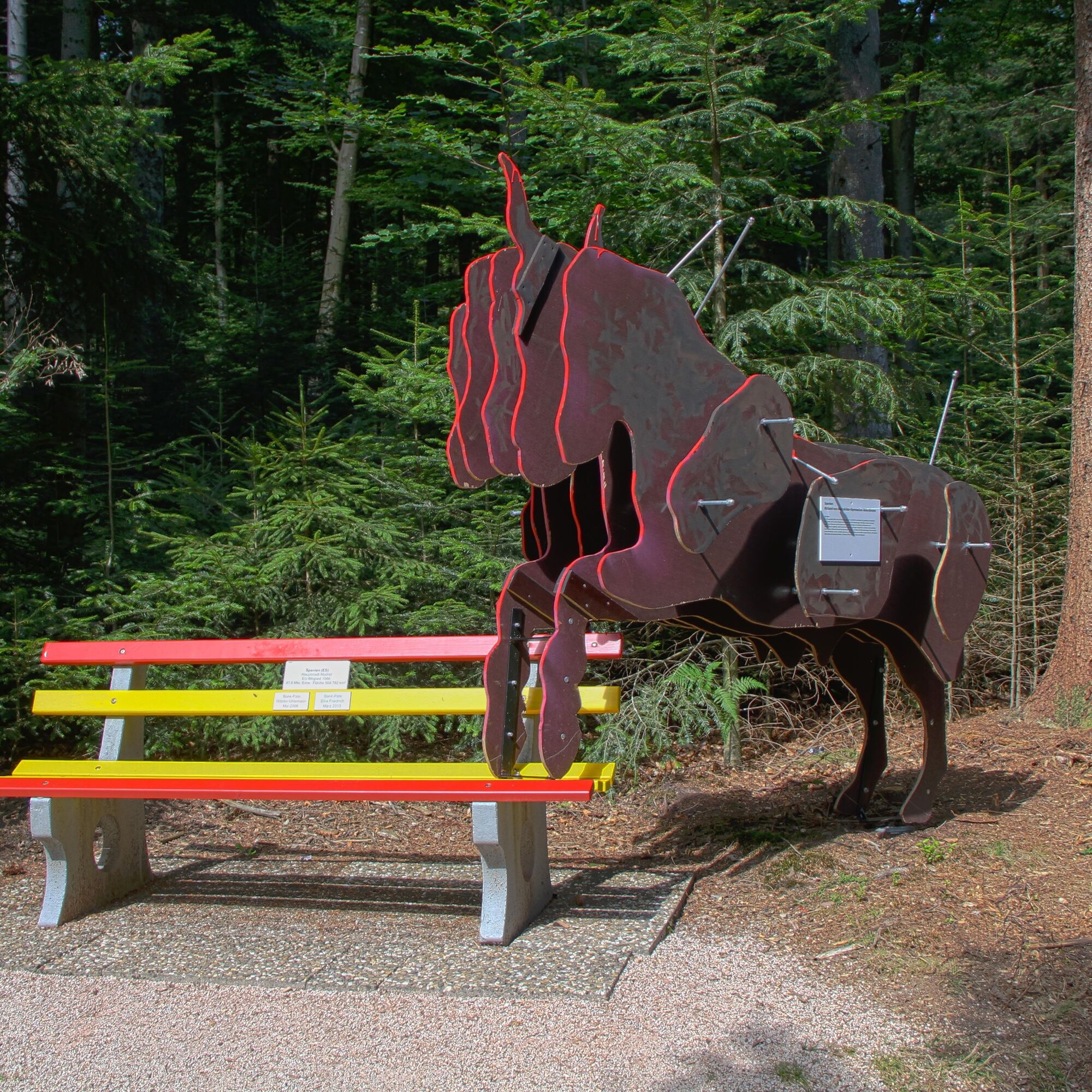
On the Ebenehardtweg, the route continues through the forest heading southwest, past benches of CYPRUS, BULGARIA, and ROMANIA. The Romanian bench is currently the last bench on the EUROPE circular route.
At Neusatz street, the route returns to the village area. From here it ascends past the rectory barn, church, and town hall into the eastern core to Tótvázsony square.
With a view of the beautiful ensemble of school, town hall, and church, the hike around Dobel ends as the starting point Dorfplatz with the INFO PORTAL is only a few meters away on the other side of the main road. When crossing the main road, please use the pedestrian crossing.
Original text: P. Schöffler (mod. P. Mast 08.13)
Kyllä
Caution when crossing state road 340 near the "Horntannhalde" parking lot and in the village center by the schoolhouse.
From Karlsruhe area via Bad Herrenalb and the L340.
From Pforzheim and Calw area through the Enz valley (B294), from the Eyach bridge via the L340
Südwestbus line 719 (Bad Wildbad - Bad Herrenalb)
Südwestbus line 716 (Pforzheim - Bad Herrenalb)
Regiobus X63 (Calw - Bad Wildbad - Dobel - Bad Herrenalb)
Parking lot at Dobel Kurhaus or the "Horntannhalde" parking lot at the eastern entrance to the town or the "Jägerbrunnen" parking lot at the end of Wildbader Straße (direction Eyachmühle)
With Actionbound, a family experience is guaranteed: In addition to searching for suitable country benches with the help of GPS navigation and answering various questions, points can be collected in the app. The hike also imparts knowledge about the different EU member states and their diversity, the founding and development of the EU, mythology and history, as well as the flag.
Here is the link to the Actionbound.
Suosittuja retkiä naapurustossa
-
5,0
Circular route via spring nature trail and Wurstberg
valoVaellus 8,08 km -
4,5
Eyach round
mediumVaellus 7,84 km -
3,0
Dobel High-Altitude Route
mediumVaellus 11,8 km -
5,0
Kaltenbronn Rundweg N° 1 - Wildseemoor-Runde
valoVaellus 8,30 km -
5,0
Rundwanderweg Sulzkar
mediumVaellus 12,4 km -
4,0
Spaziergang zum Bernsteinfelsen
mediumVaellus 14,5 km -
From nature experience to active experience
valoVaellus 10,5 km -
AugenBlick route Bad Herrenalb Schweizerkopf
mediumVaellus 15,5 km -
4,3
Nature experience tour Kaltenbronn
mediumVaellus 14,2 km -
5,0
Idyllic silence - hike into Eyachtal
mediumVaellus 13,2 km
Vaellus & jäljitys


Älä jää paitsi tarjouksista ja inspiraatiosta seuraavaa lomaasi varten.
Sähköpostiosoitteesi on lisätty postituslistalle.